

Aegean islands (1391 Subjects)

Lady of Lesbos.
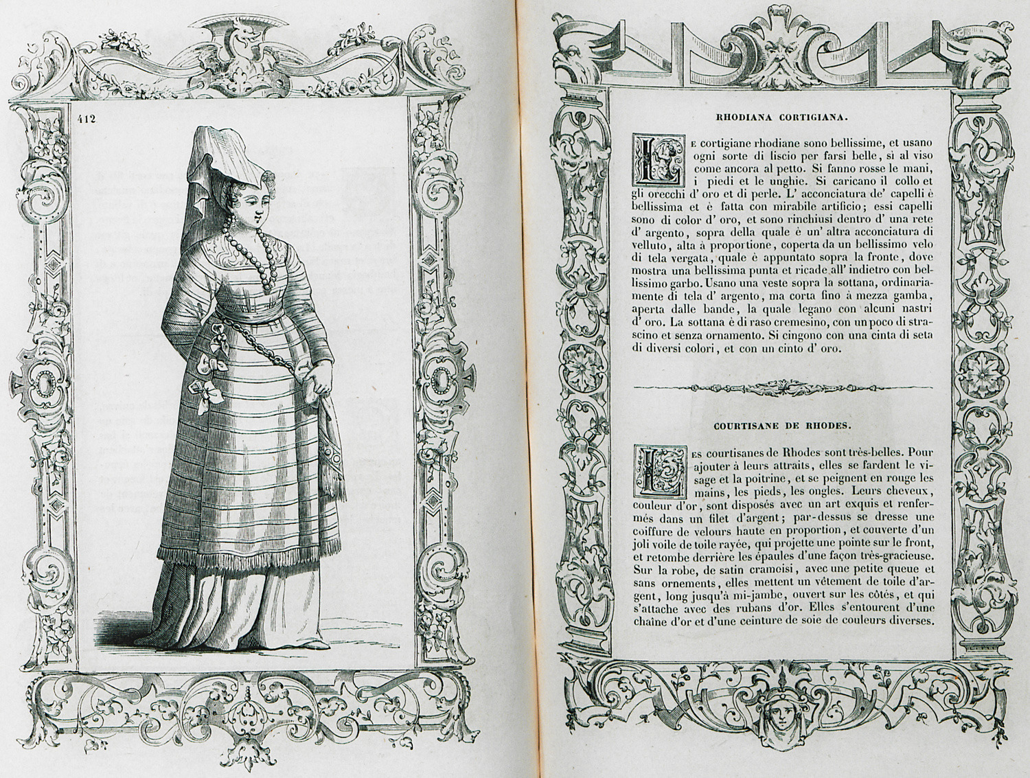
Prostitute from Rhodes.
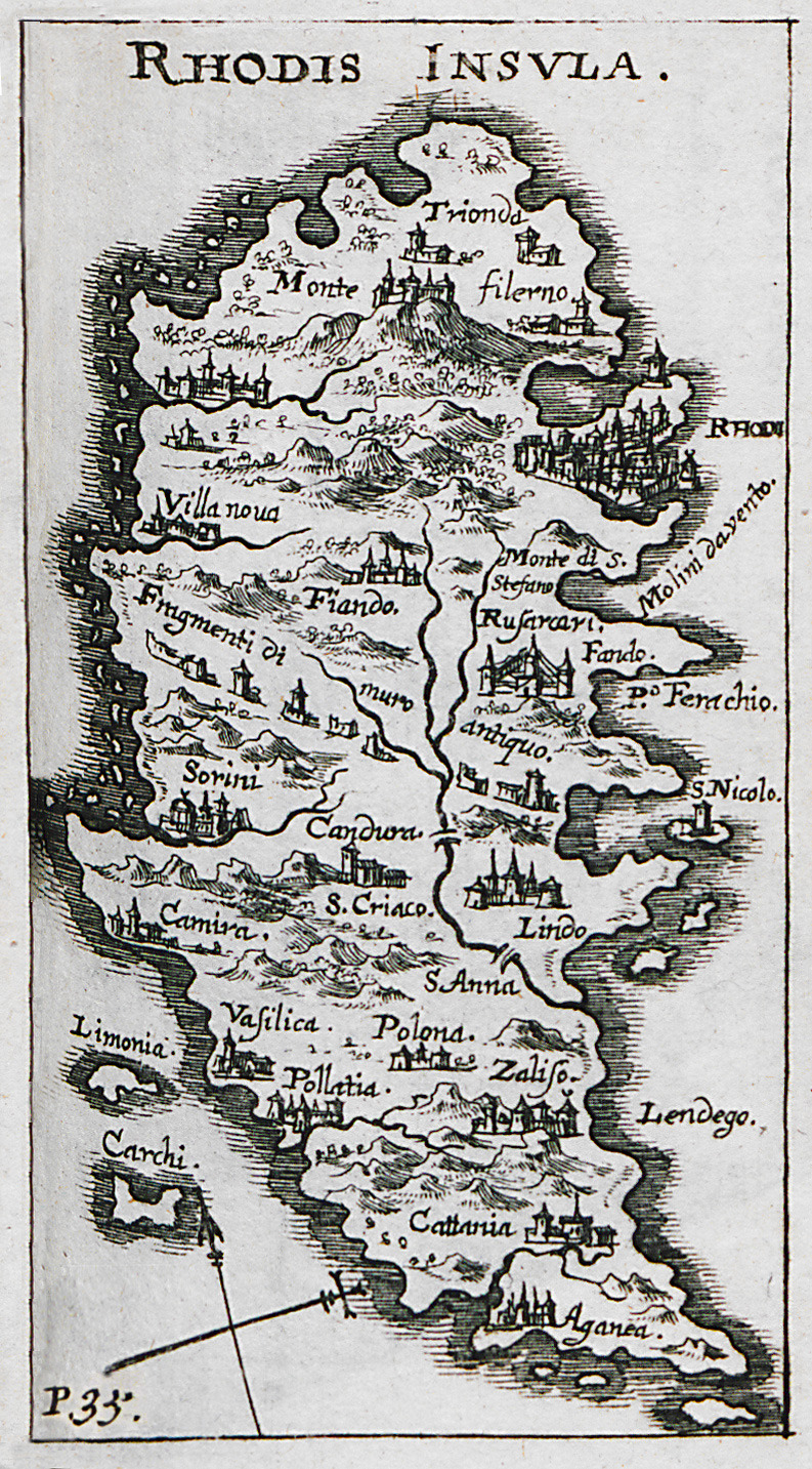
Map of Rhodes.
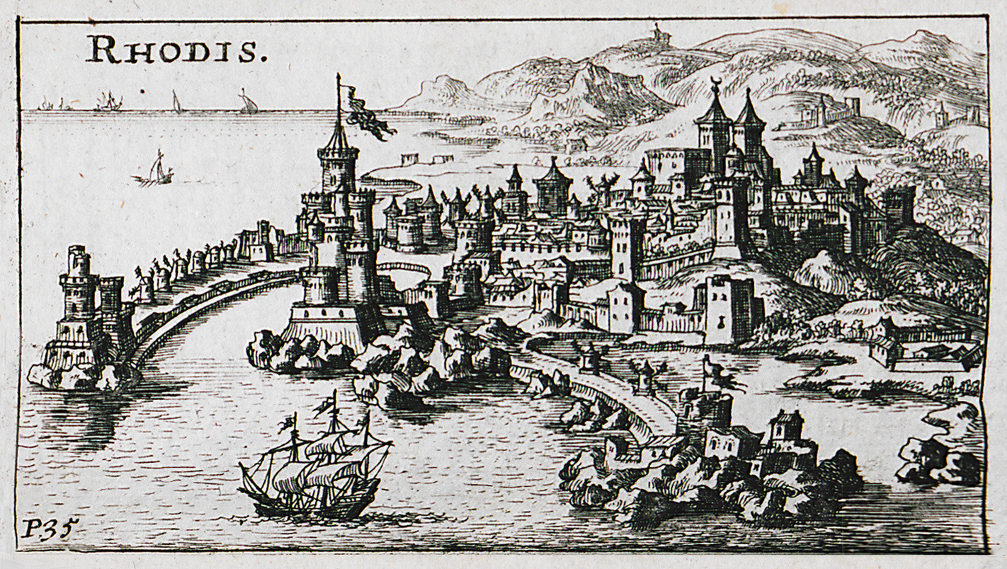
View of the medieval city of Rhodes.
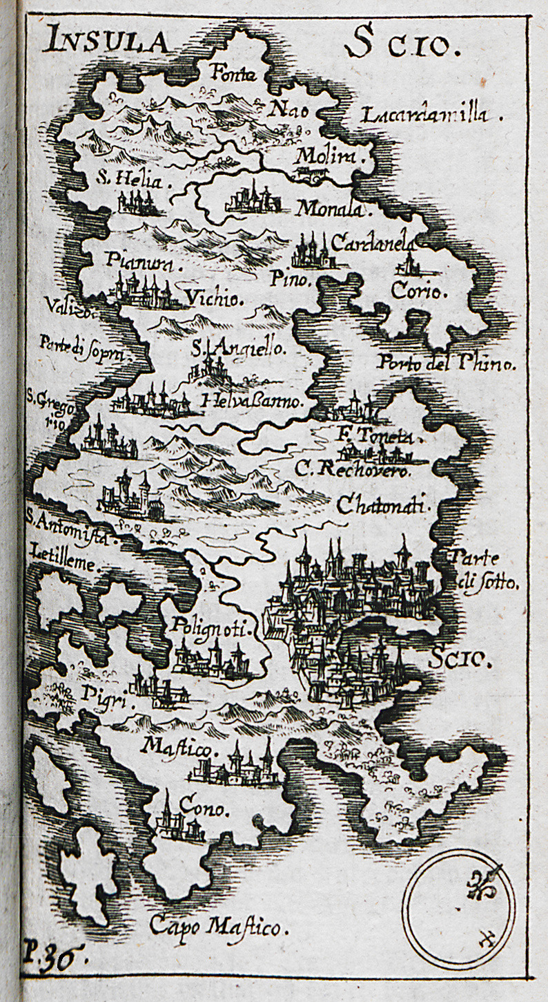
Map of Chios.
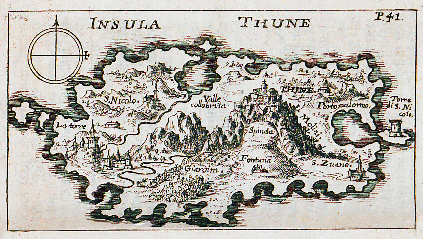
Map of Tinos.
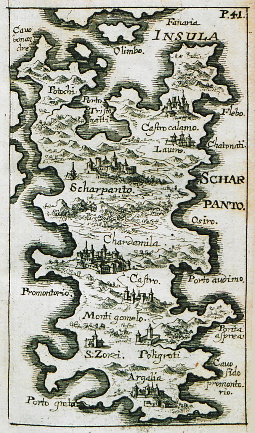
Map of Karpathos.
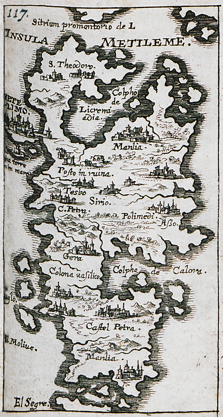
Map of Lesbos.
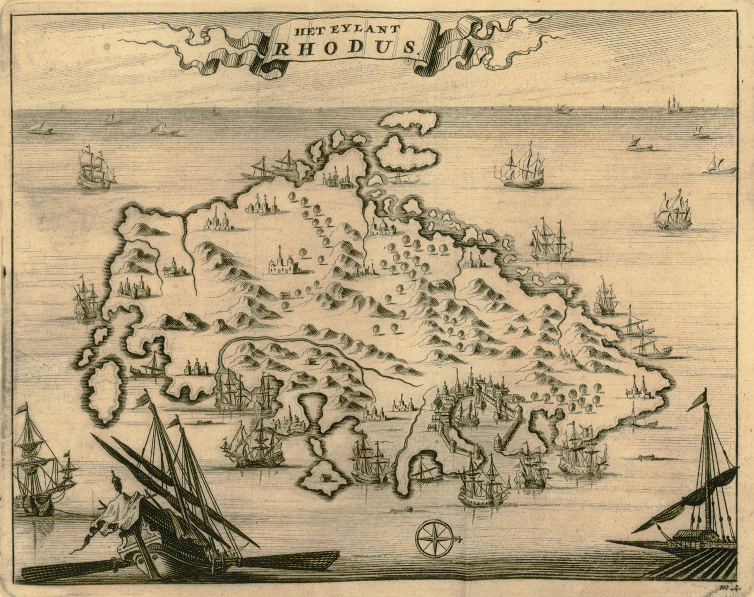
Map of Rhodes.
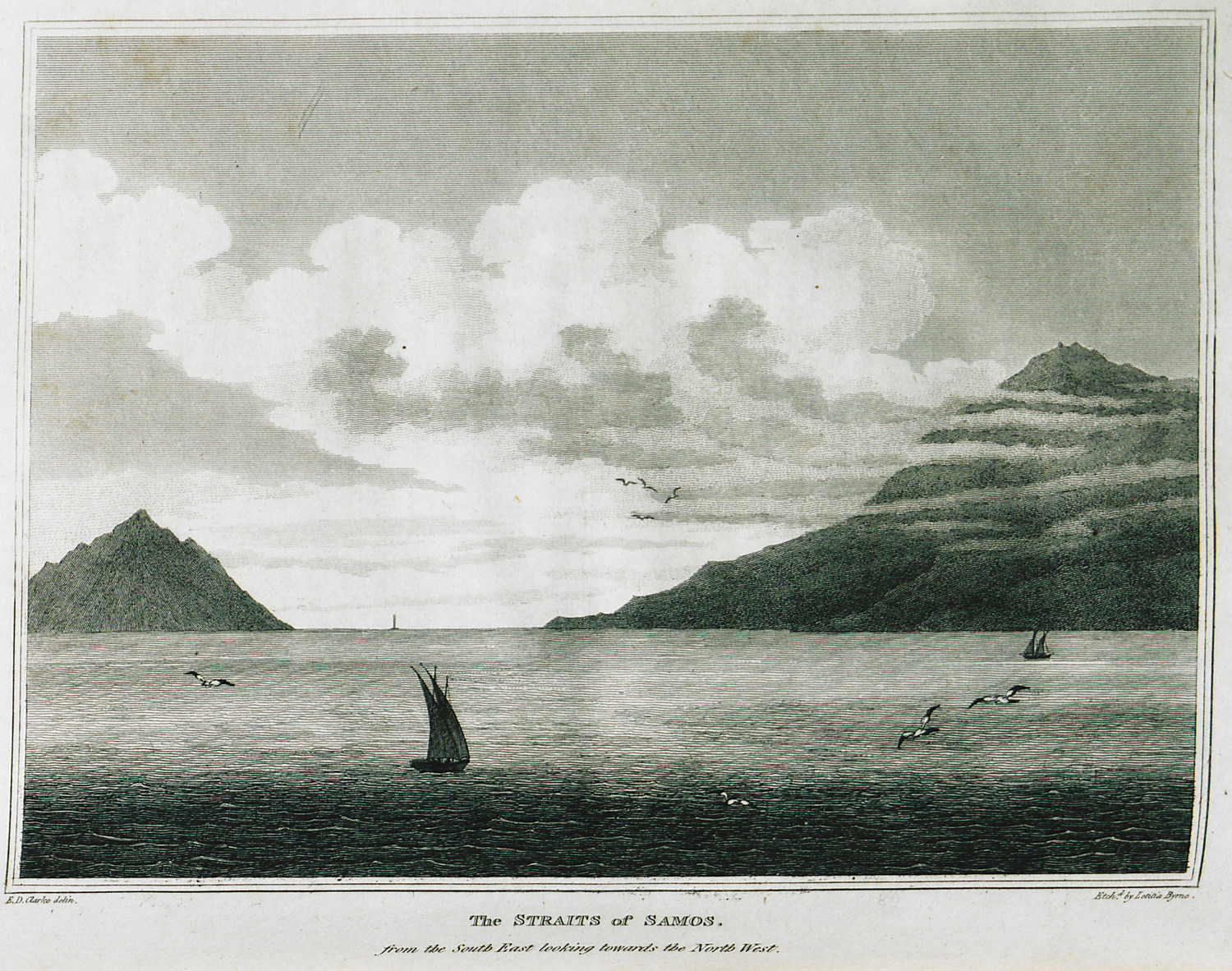
The Straits of Samos for the South East looking towards the North West.
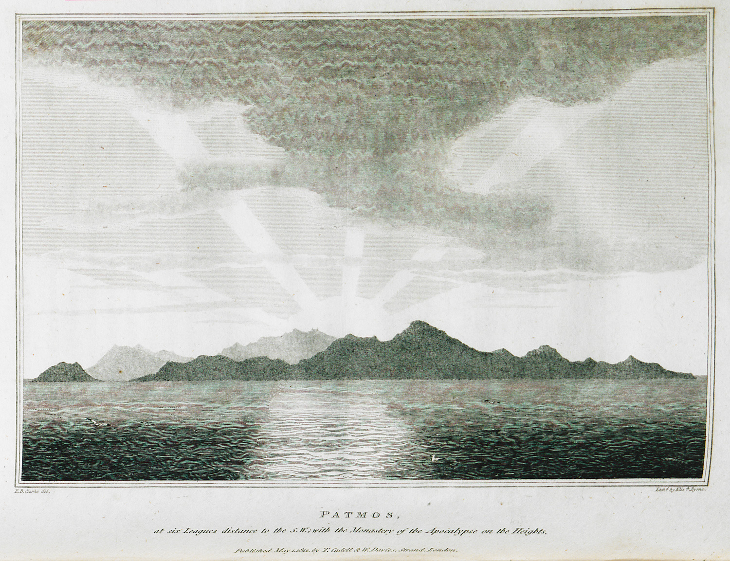
Patmos at six leagues distance to the S.W. with the Monastery of Saint John the Theologian on the Heights.
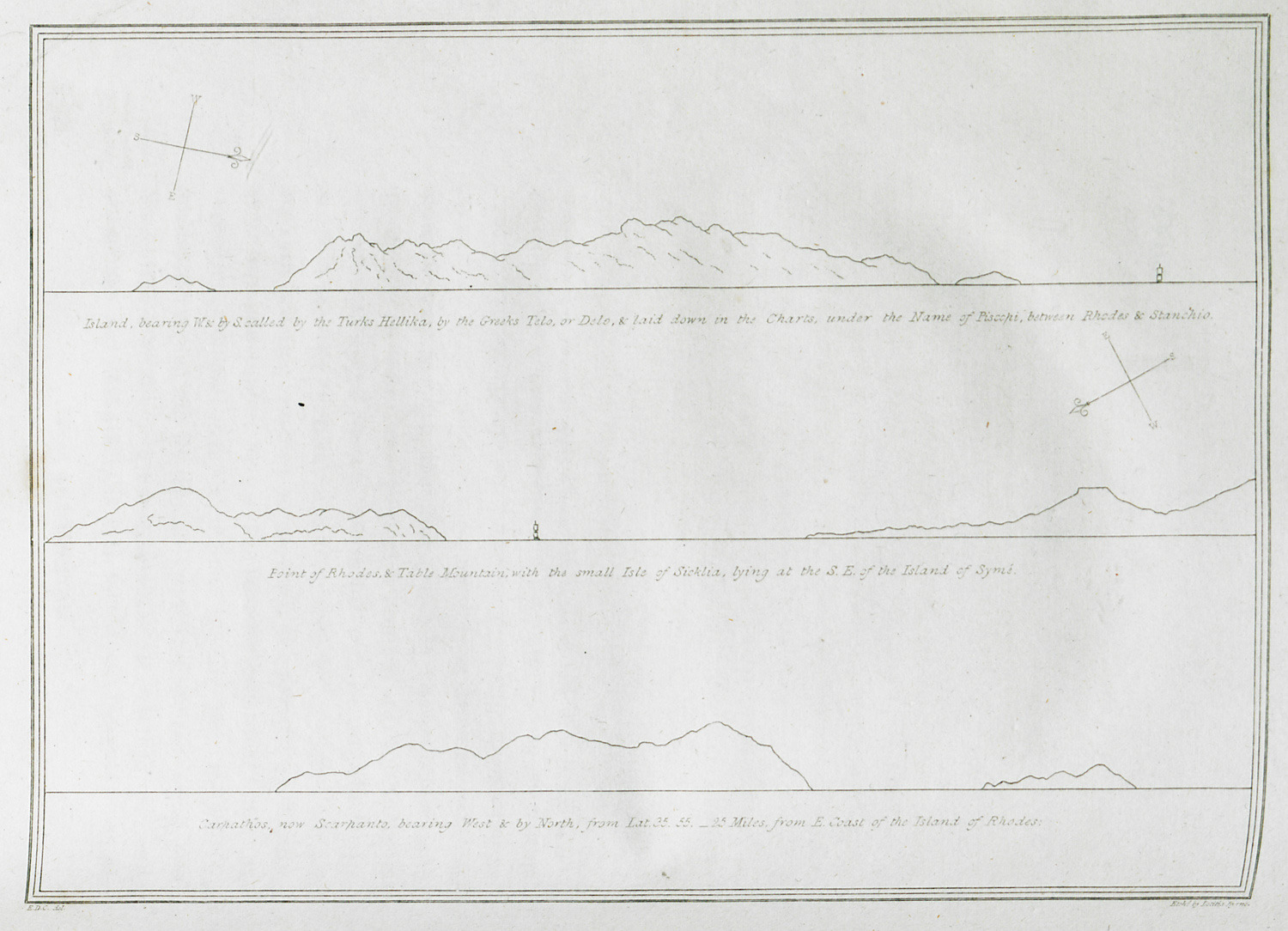
Island, bearing W. & by S. called by the Turks Hellika, by the Greeks Telo, or Delo, & laid down in the Charts under the Name of Piscopi, between Rhodes & Stanchio. Point of Rhodes & Table Mountain with the small Isle of Sicklia, lying at the S.E. of the Island of Symi. Carpathos, now Scarpanto, bearing West & by North, from Lat. 35.55. 25 miles from E. Coast of the island or Rhodes.
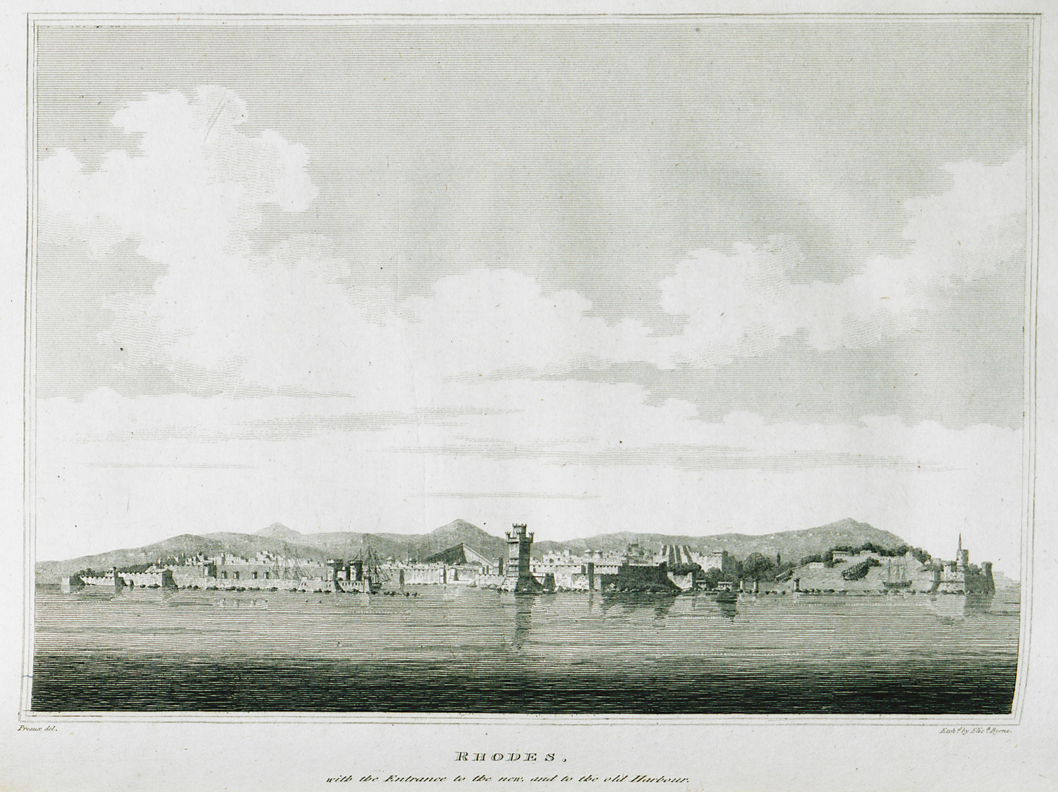
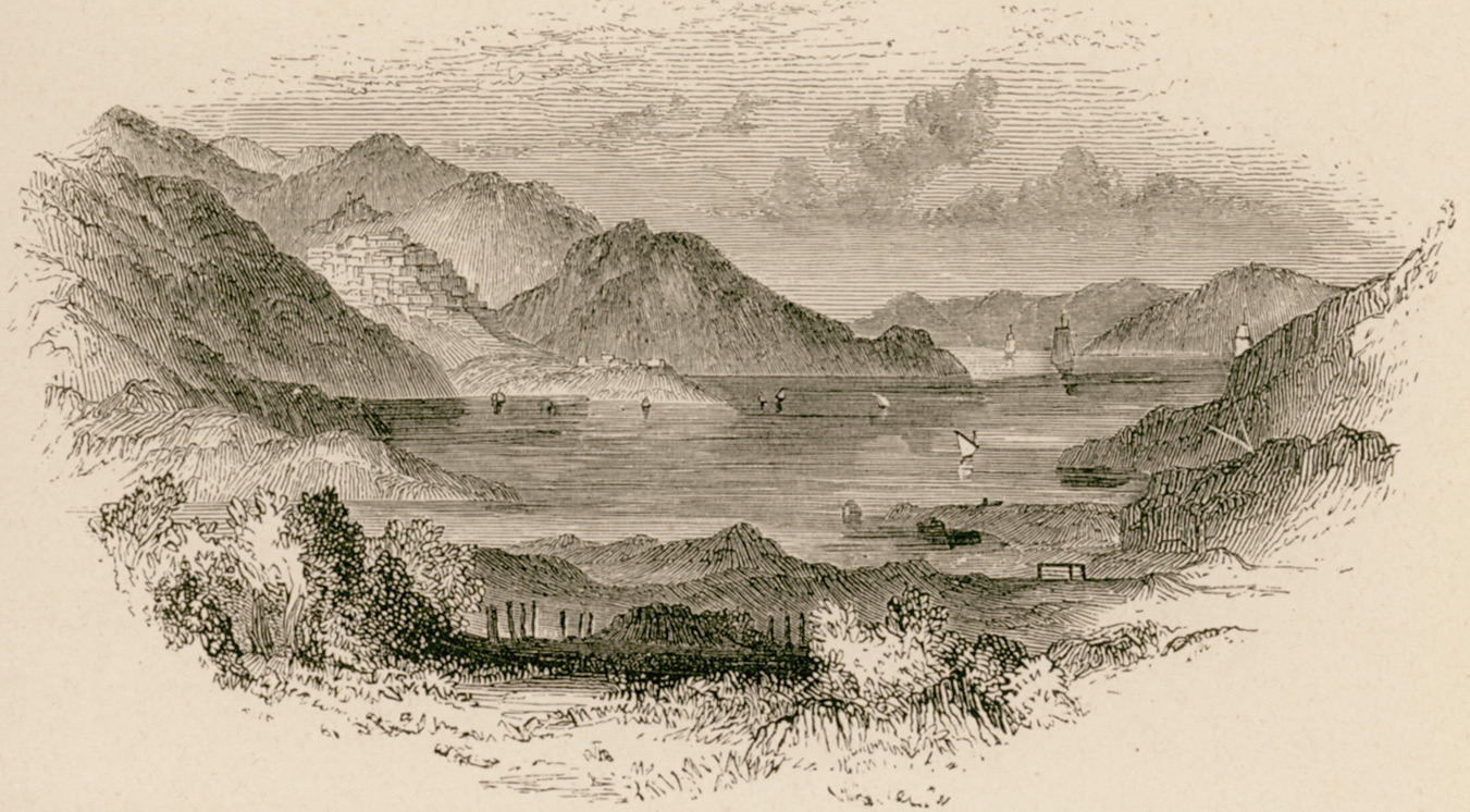
View of the medieval city of Rhodes from the sea.
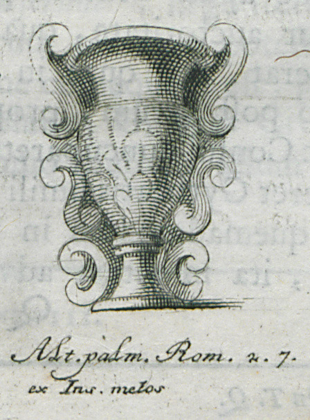
Vase from Milos island.
Island of Santorini.
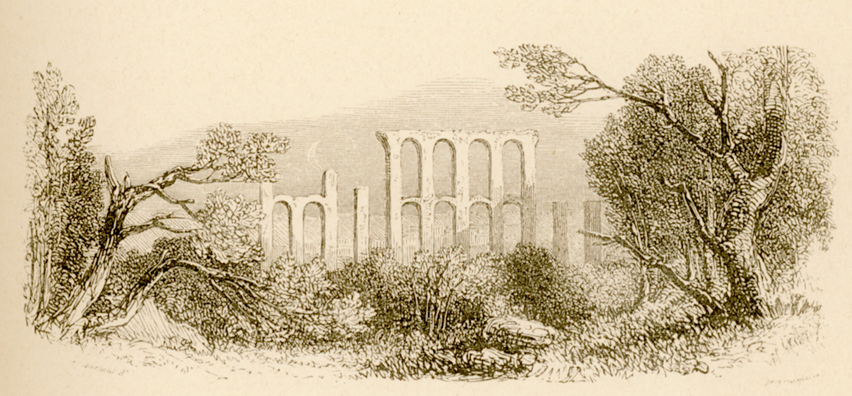
The ruins of the aqueduct of Moria in Lesbos.
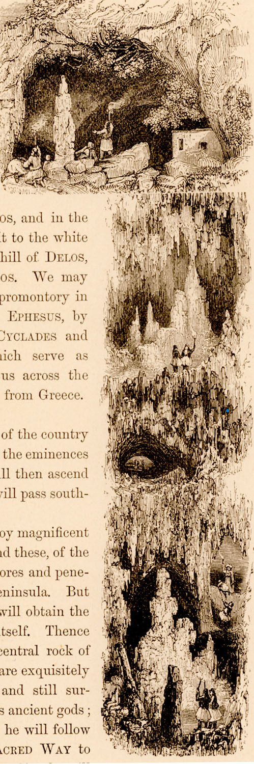
The cave of Antiparos.
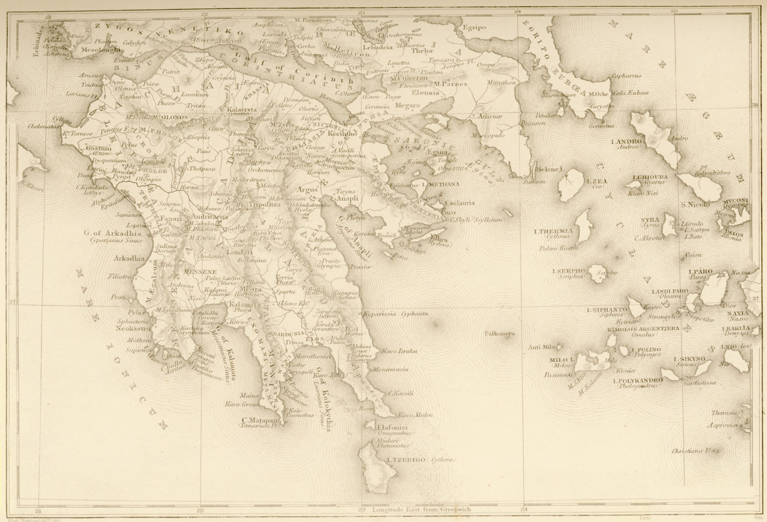
Map of Southern Greece.

Reconstruction of the Temple of Athena in Aegina.
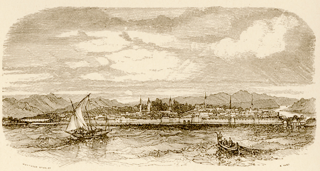
Chalcis from Euripus strait.
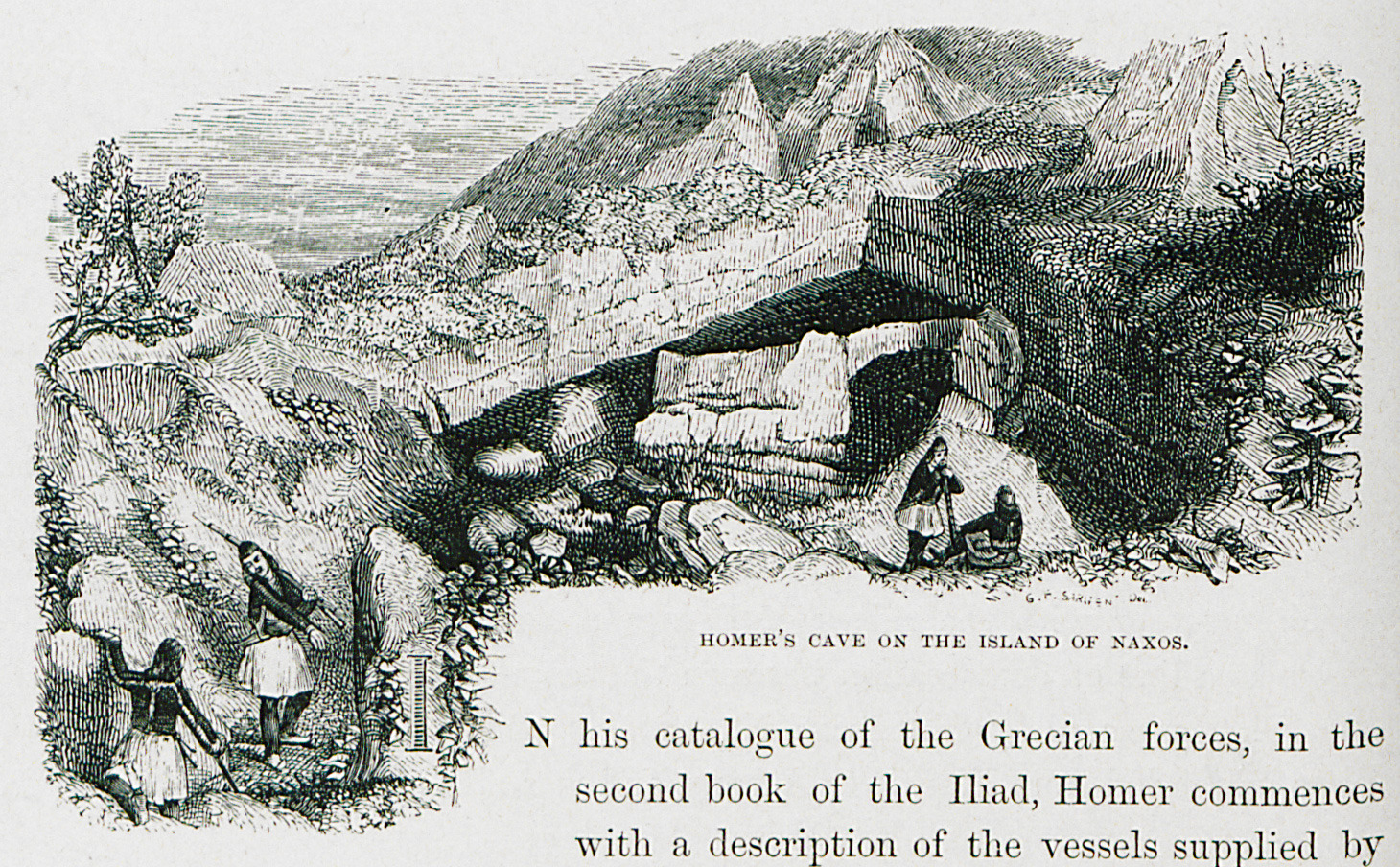
The entrance to the cave of Zeus on Za mountain, Naxos.
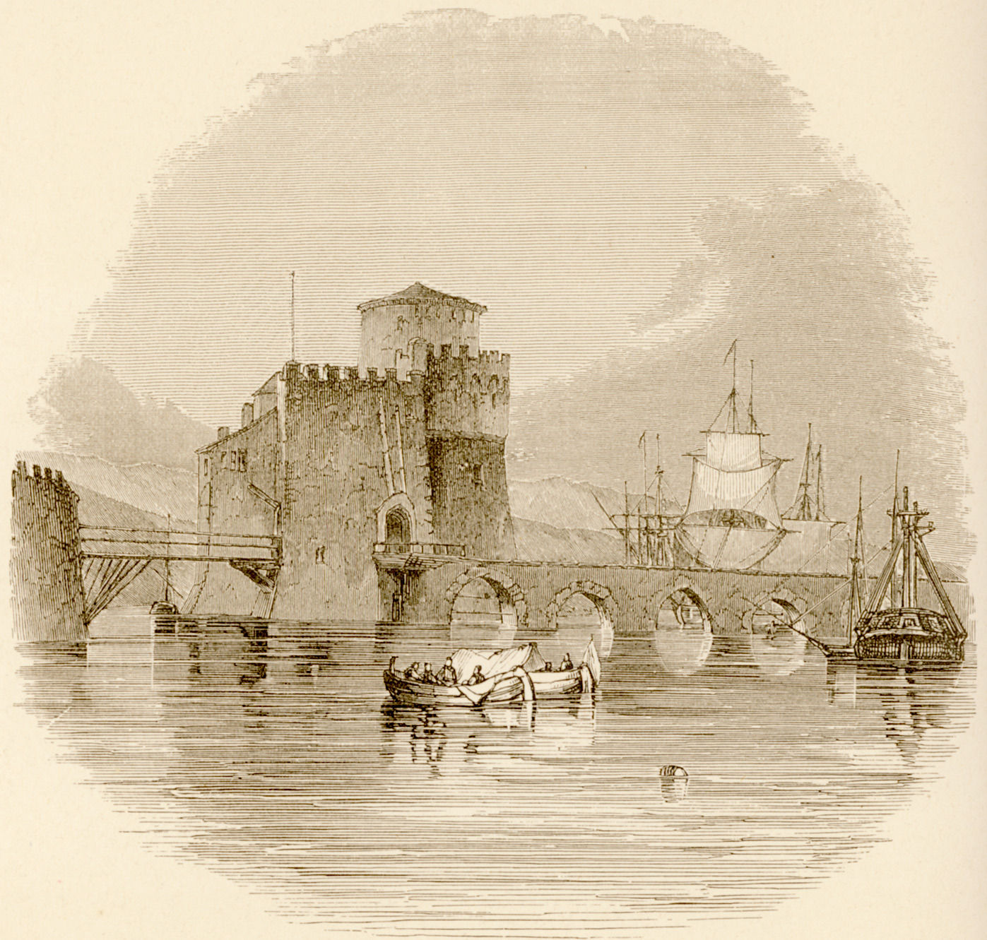
The bridge of Euripus from the north.
Syros.
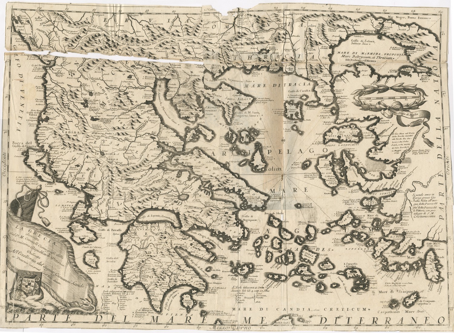
Map of Continental Greece, the Peloponnese and the Aegean islands.
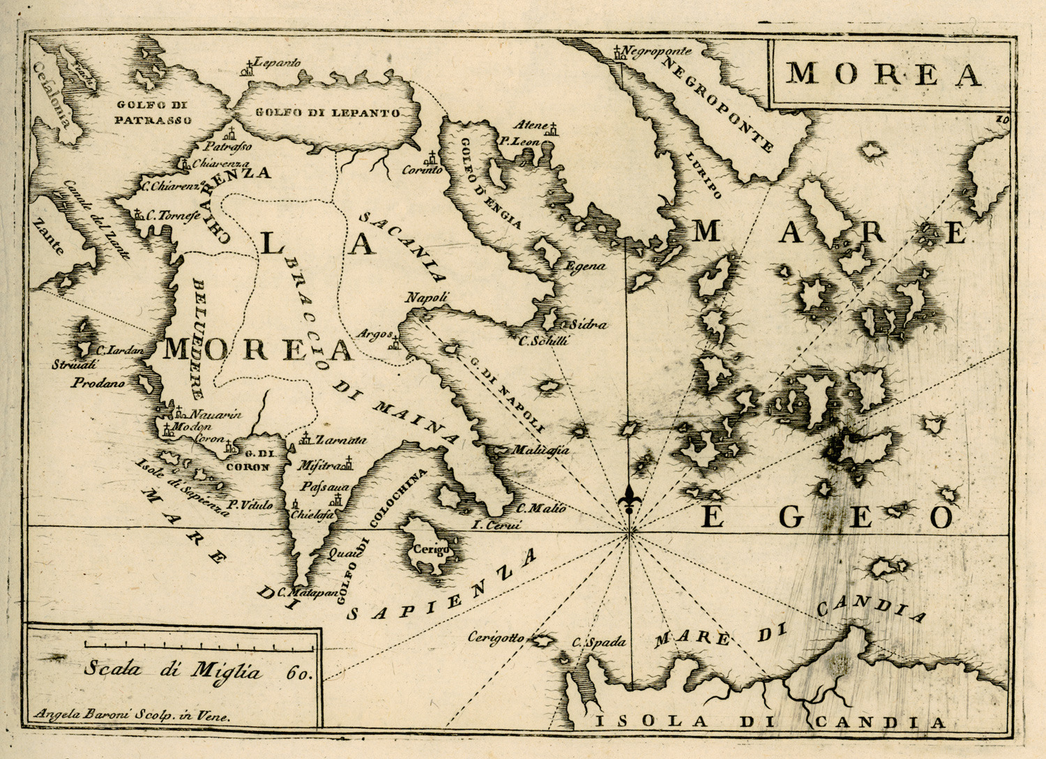
Map of the Peloponnese.
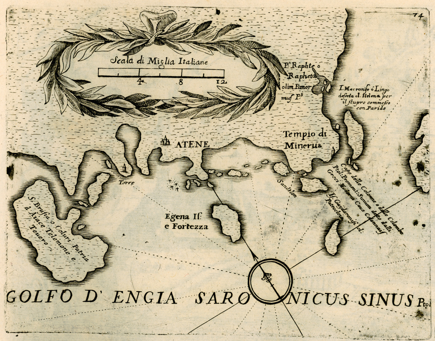
Map of the coast of Attica and the islands of the Argo-Saronic gulf.
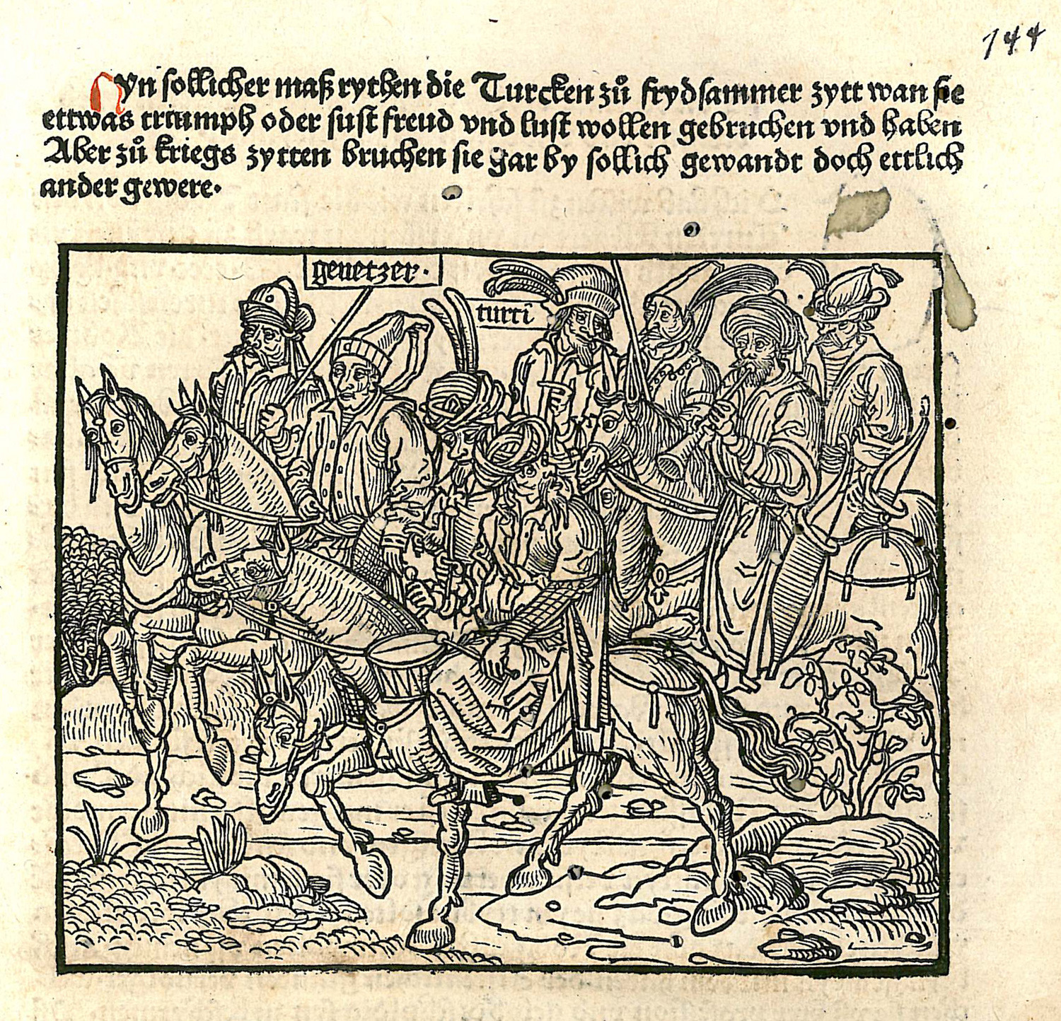
Ottoman cavalry during the Siege of Rhodes.
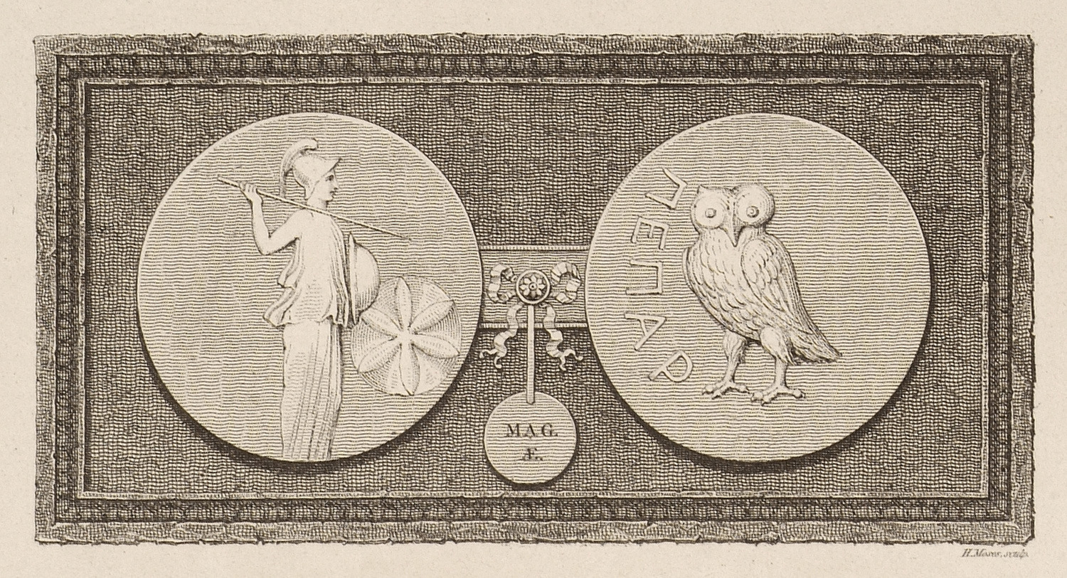
Coins from ancient Peparethus (Skopelos).
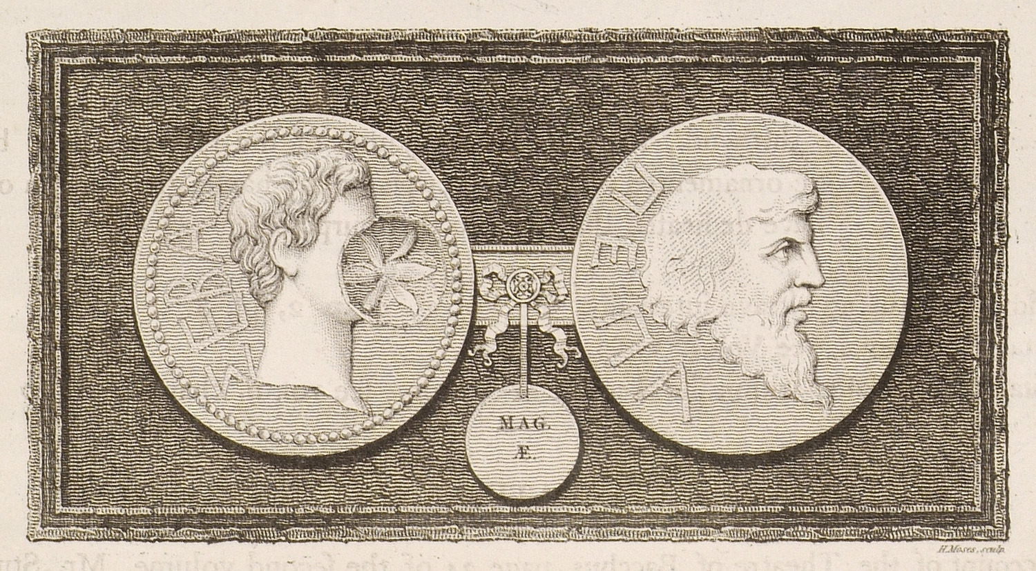
Coins from ancient Peparethus (Skopelos).
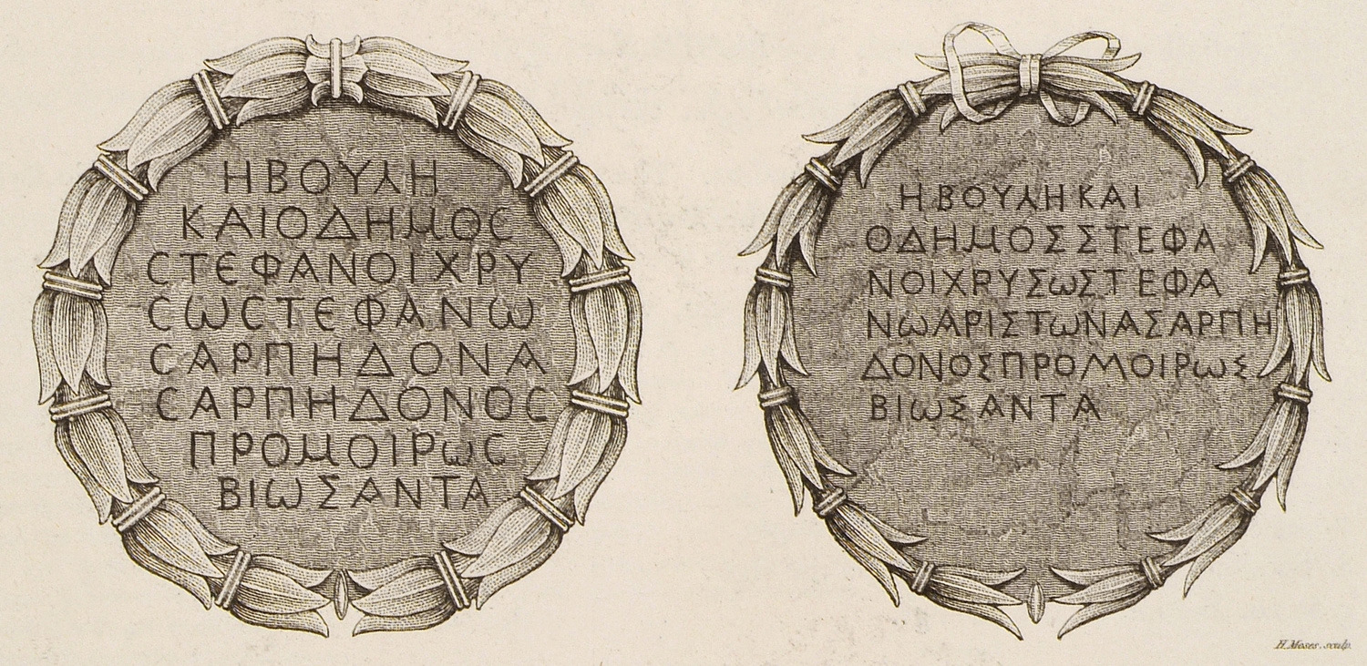
Inscriptions from church at Paros.