Central Greece (1691 Subjects)
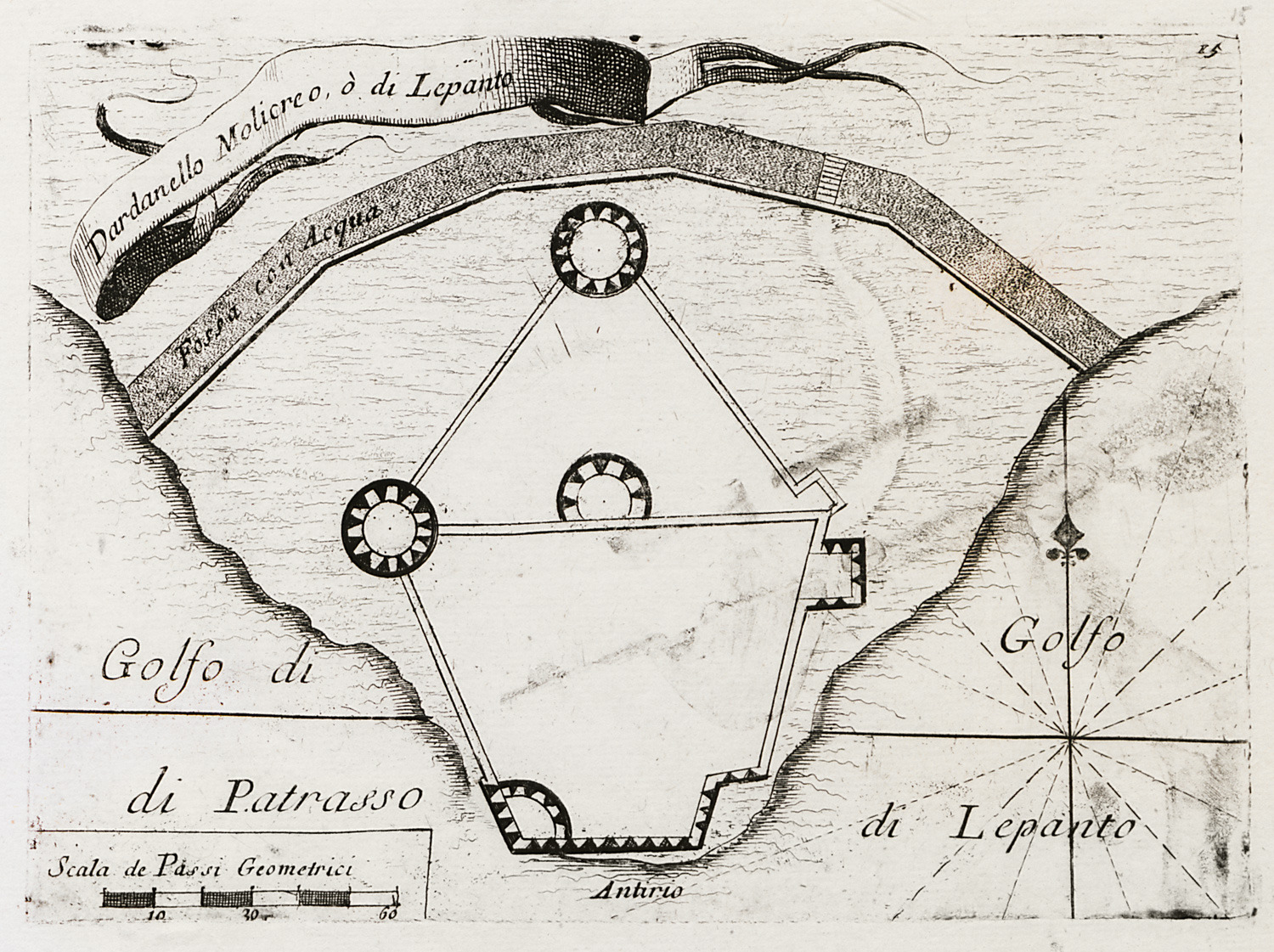
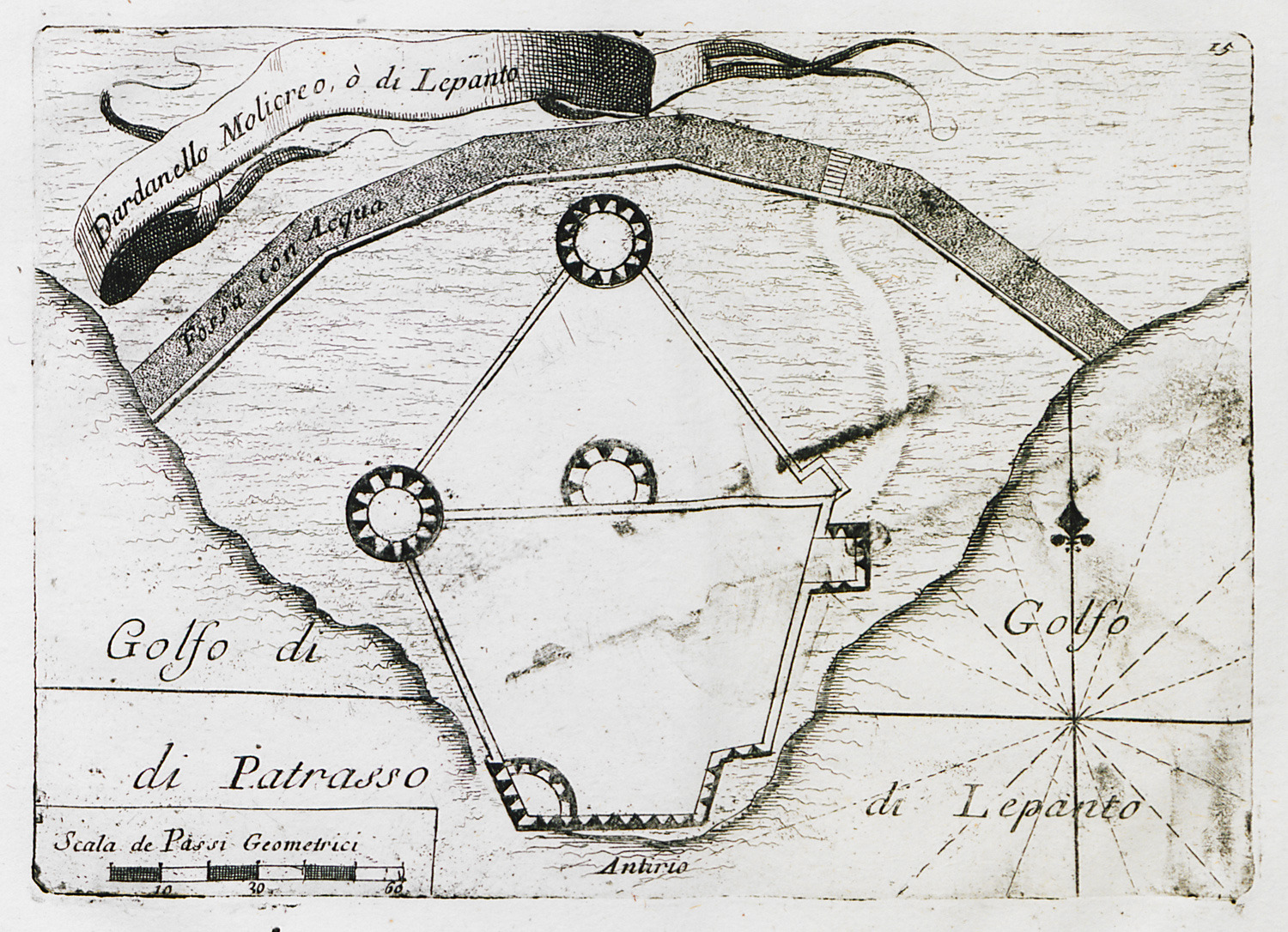
Plan of Antirrion fortress.
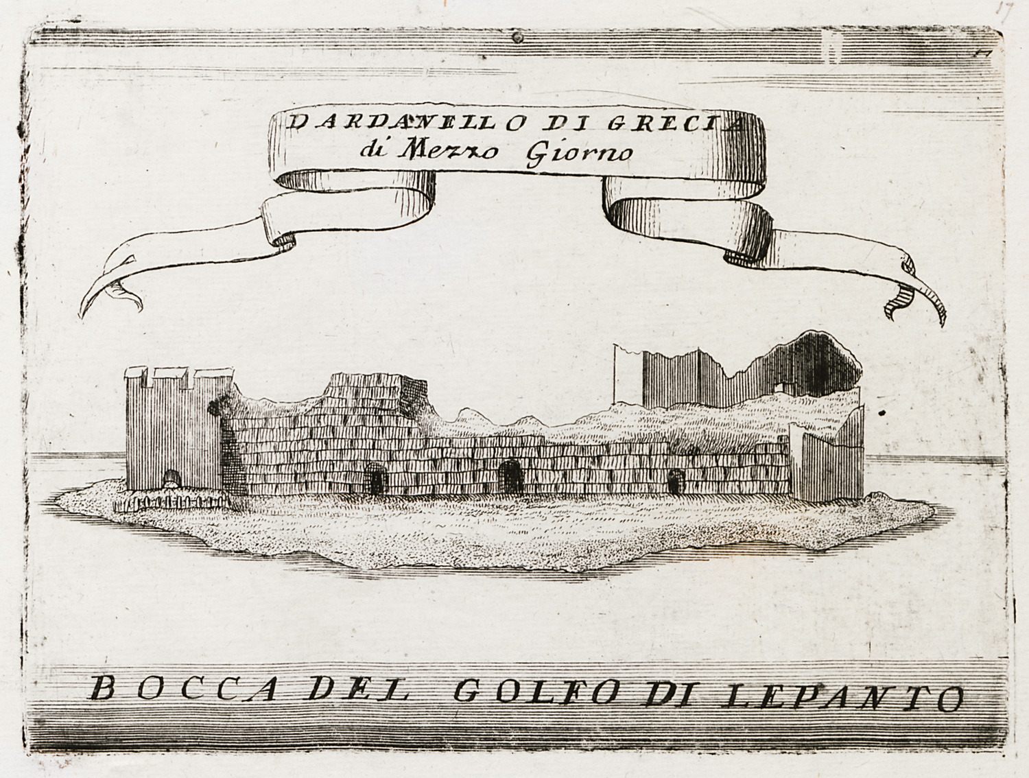
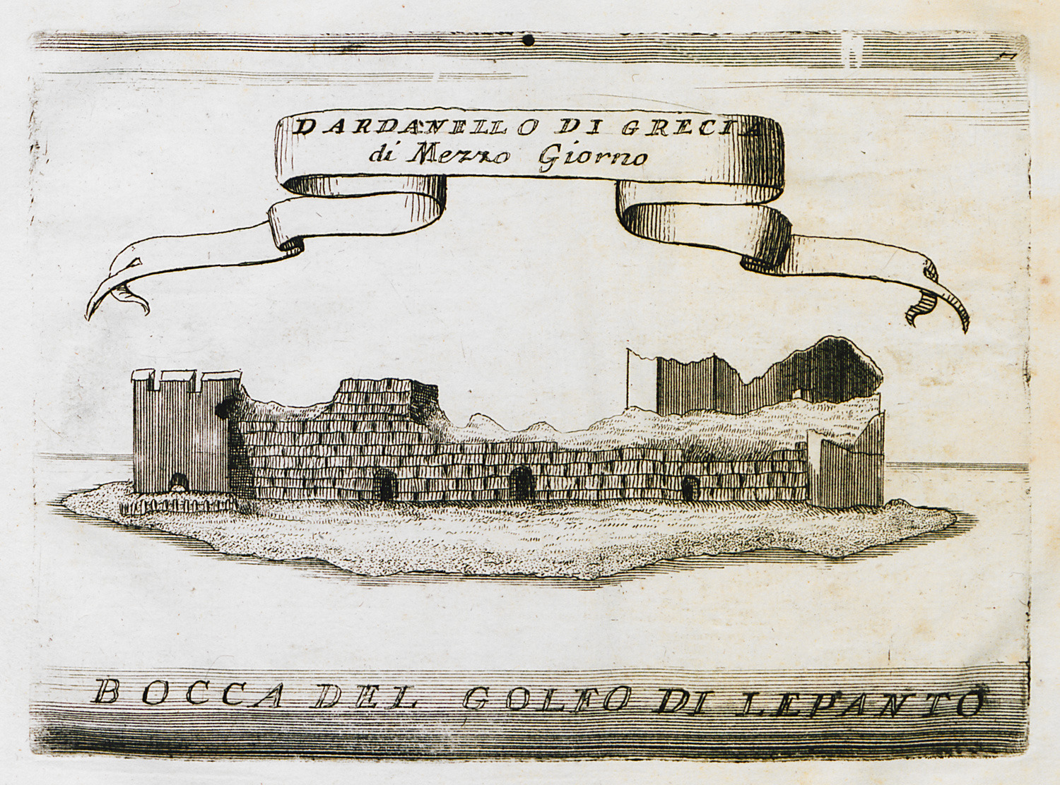
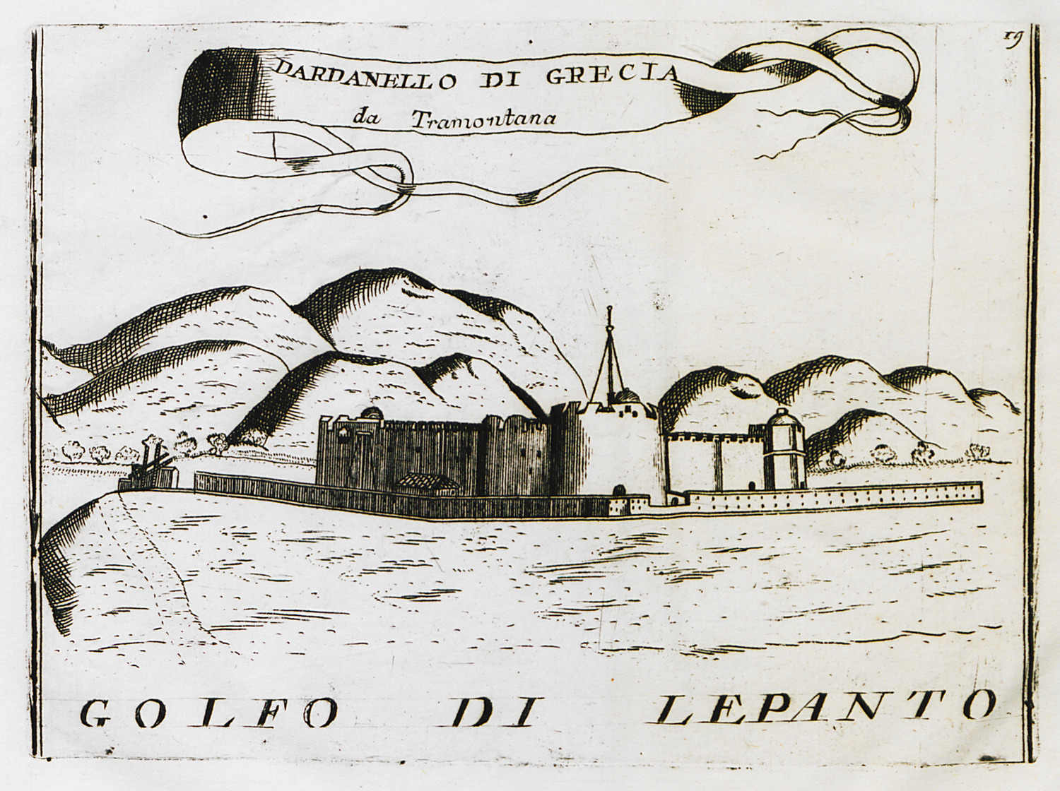
The fortress of Antirrion from the east.
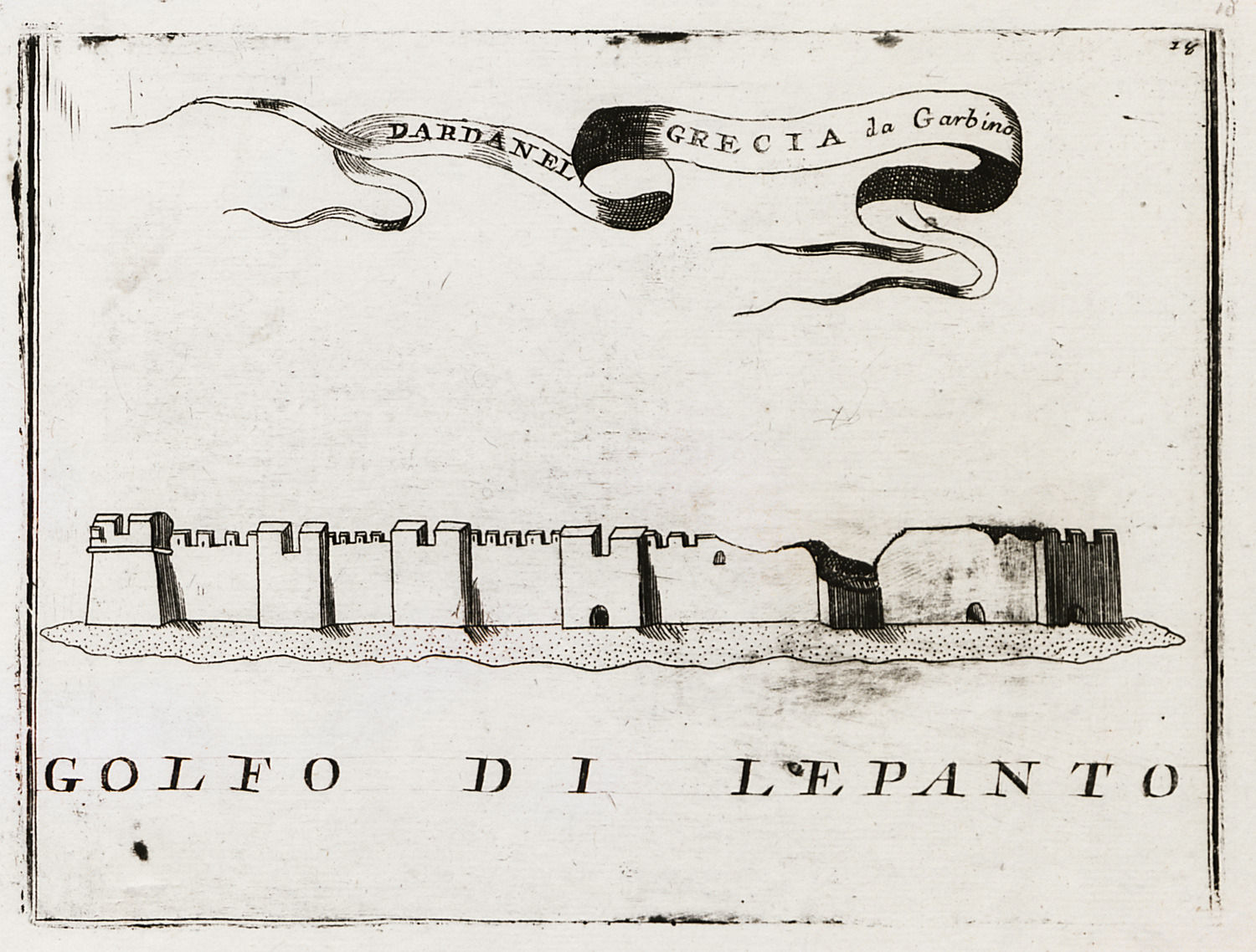
The fortress of Antirrion from the southwest.
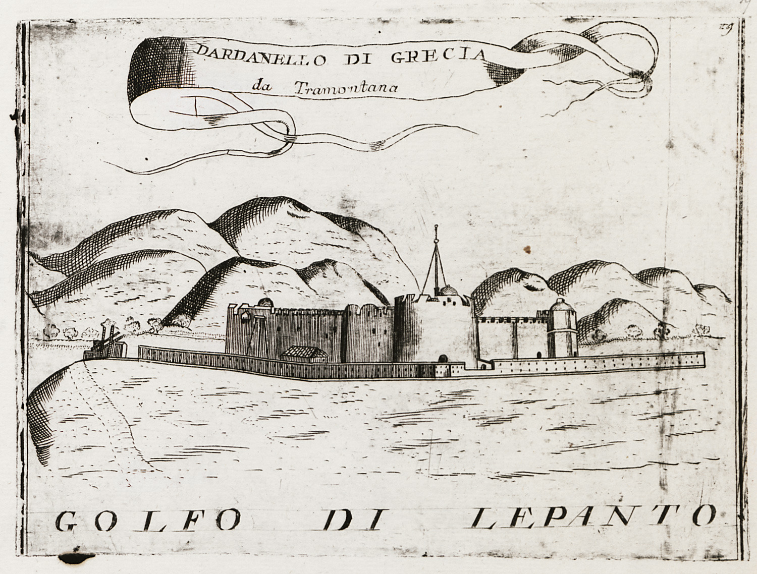
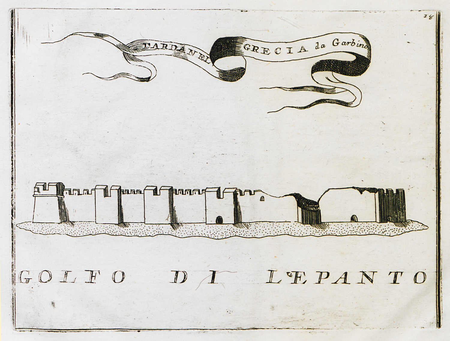
The fortress of Antirrion from the north.
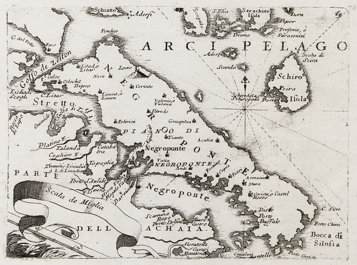
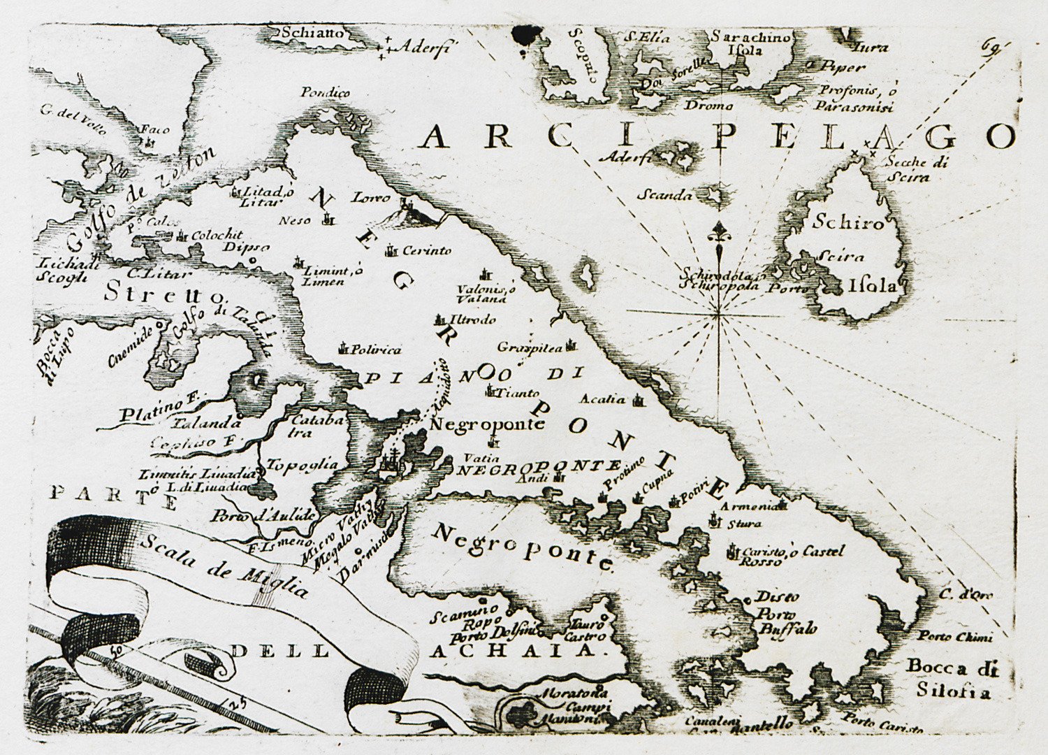
Map of Euboea.
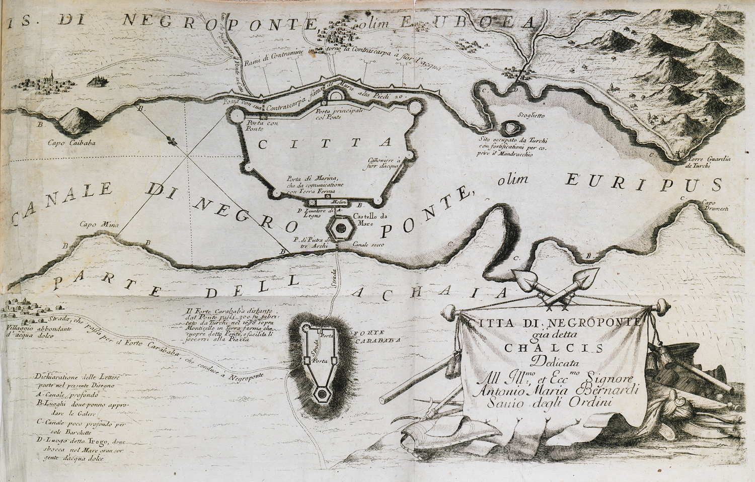
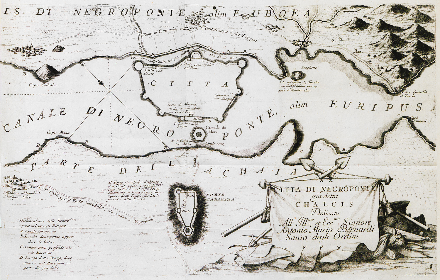
Map of Chalcis area, with plans of Chalcis fortress and Karababa fortress.
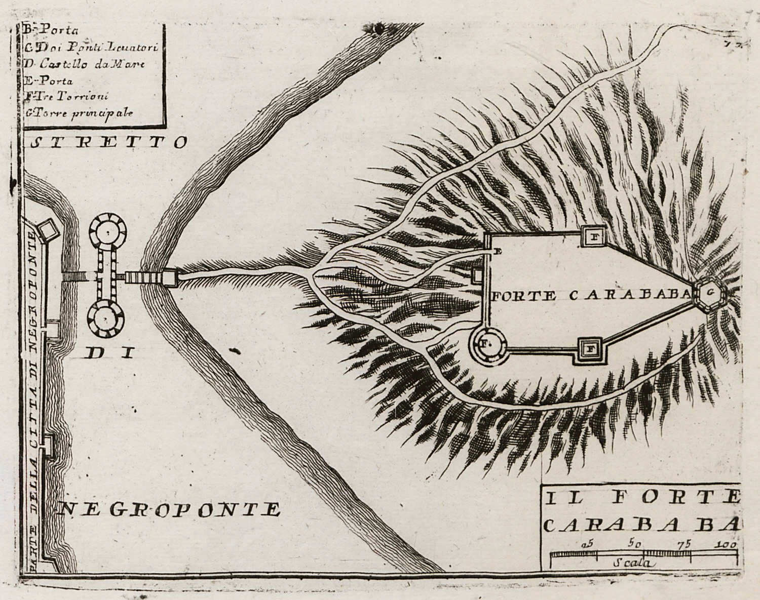
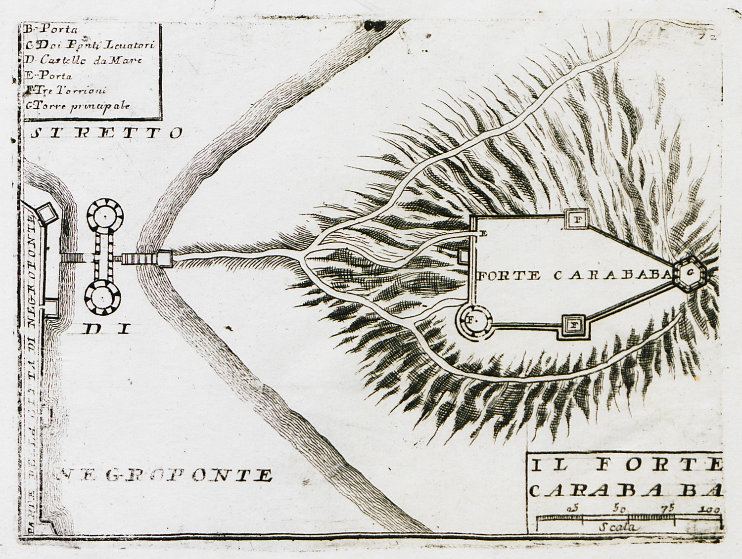
Plan of Karababa fortress at Chalcis.
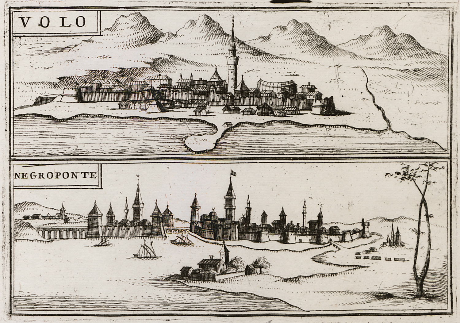
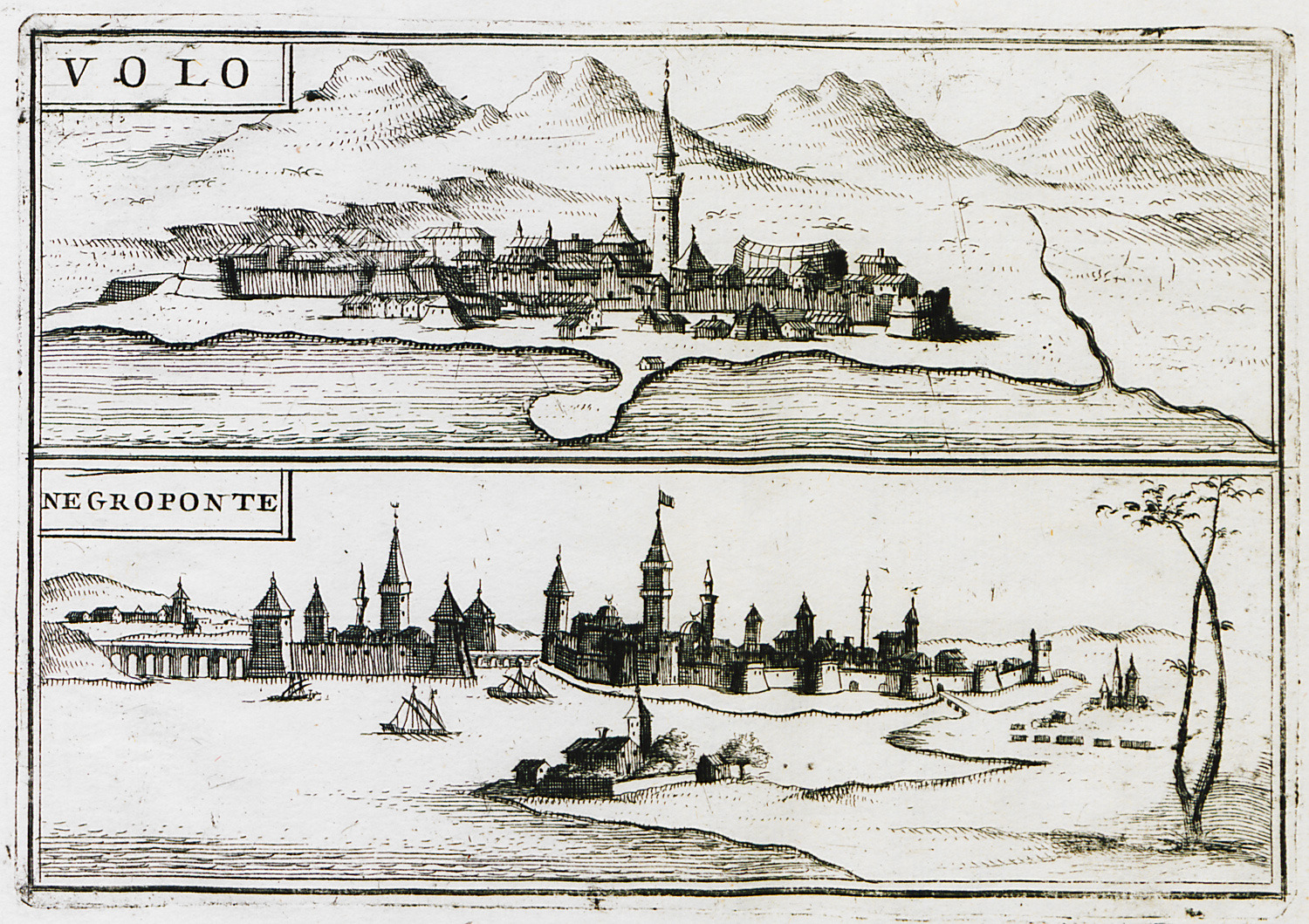
View of Volos. View of Chalcis.
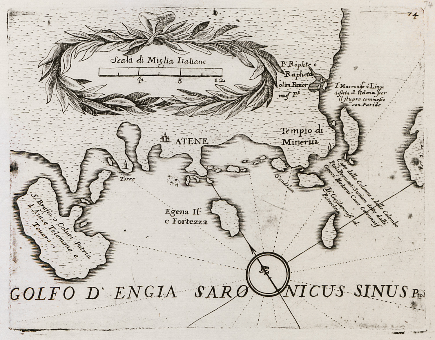
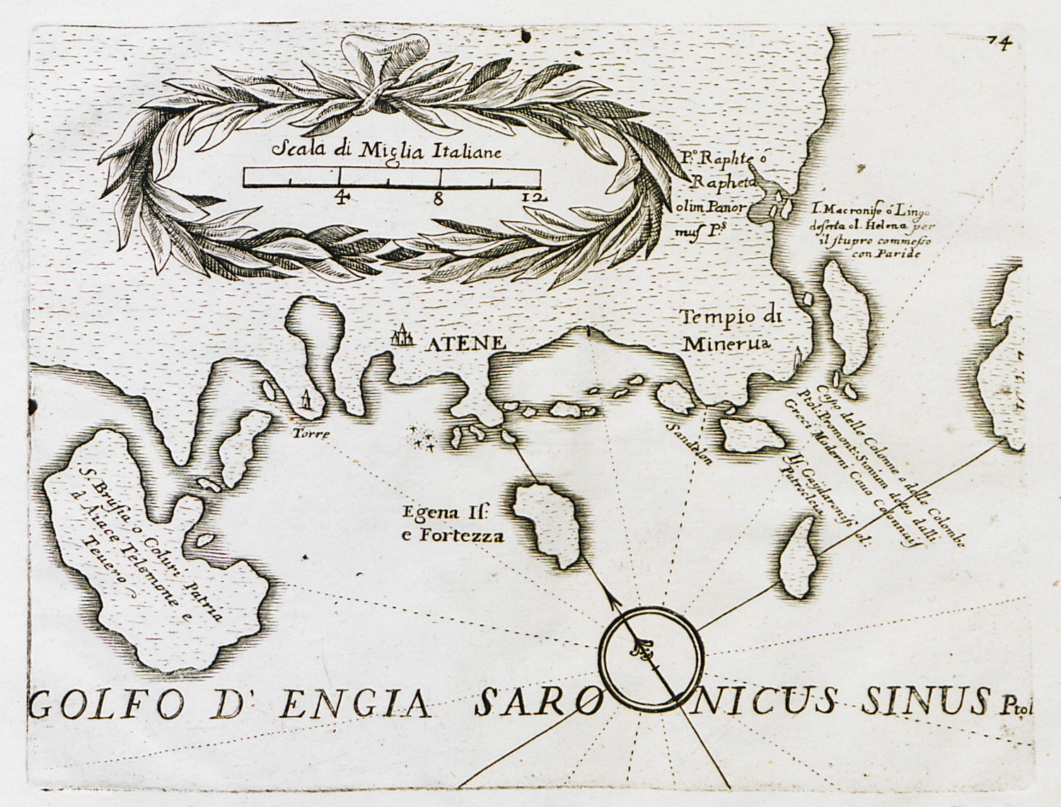
Map of the coast of Attica and the islands of the Argo-saronic gulf.
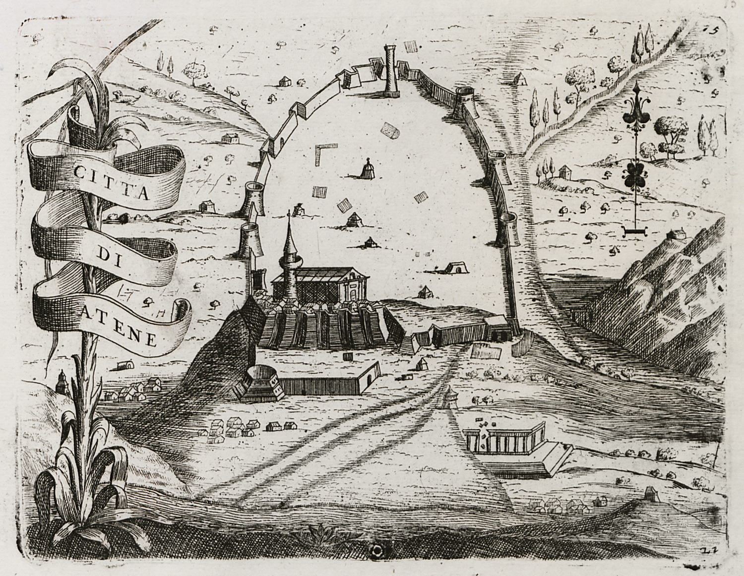
Map of Athens.
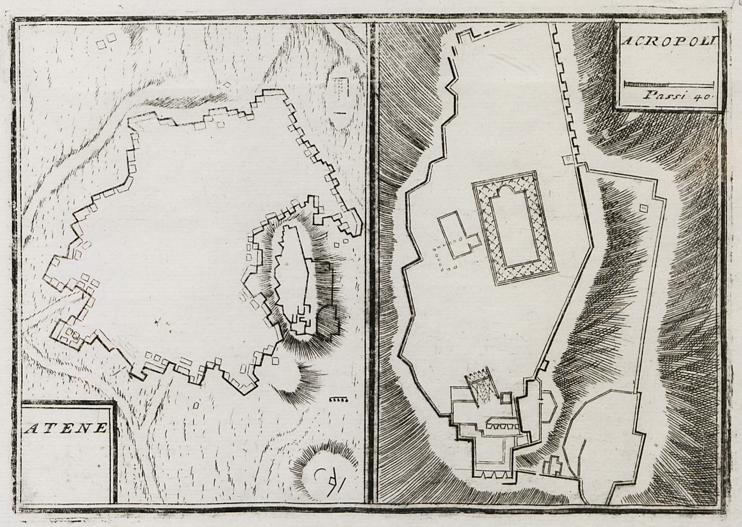
Plan of the walls of Athens. Plan of the Acropolis of Athens.
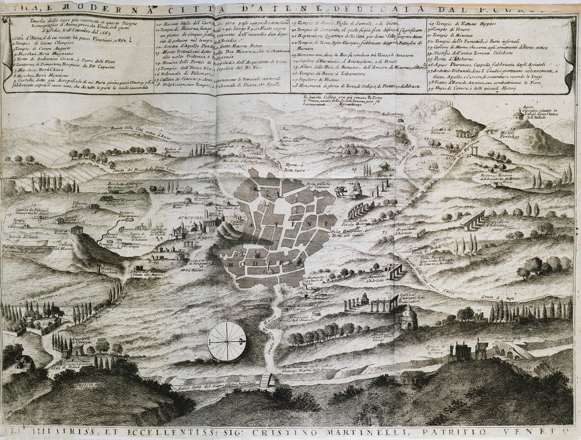
Map of Athens showing the main monuments and ancient sites.
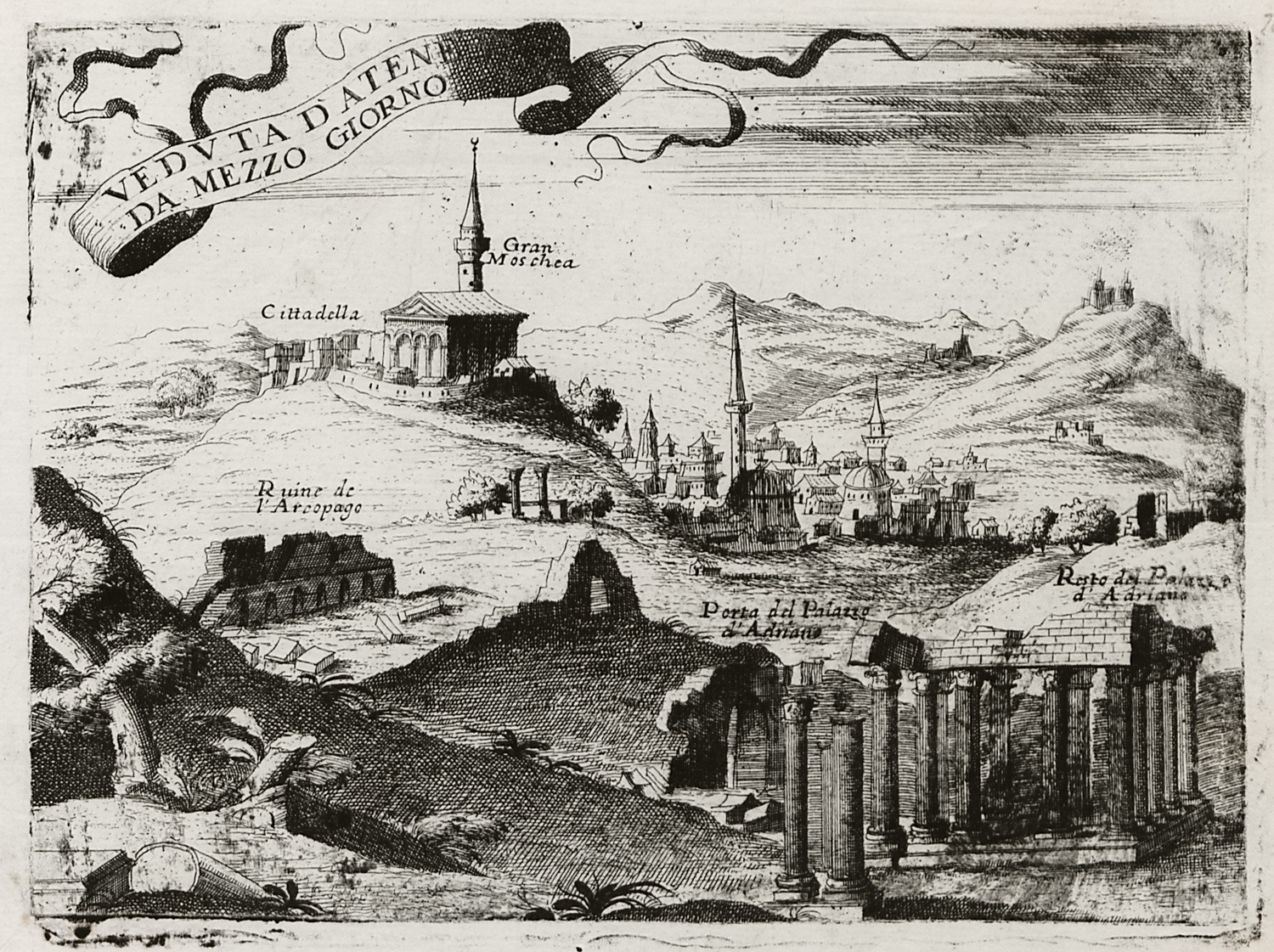
Athens from the east.
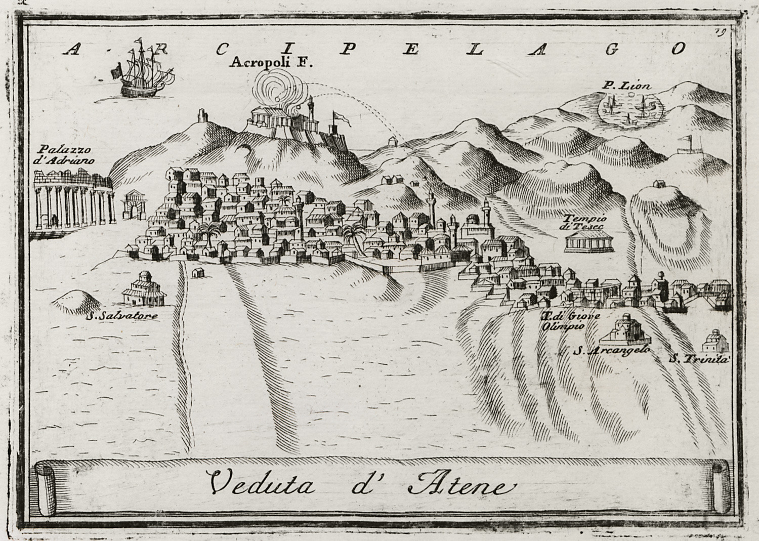
View of Athens, showing the bombardment of the Parthenon by Francesco Morosini.
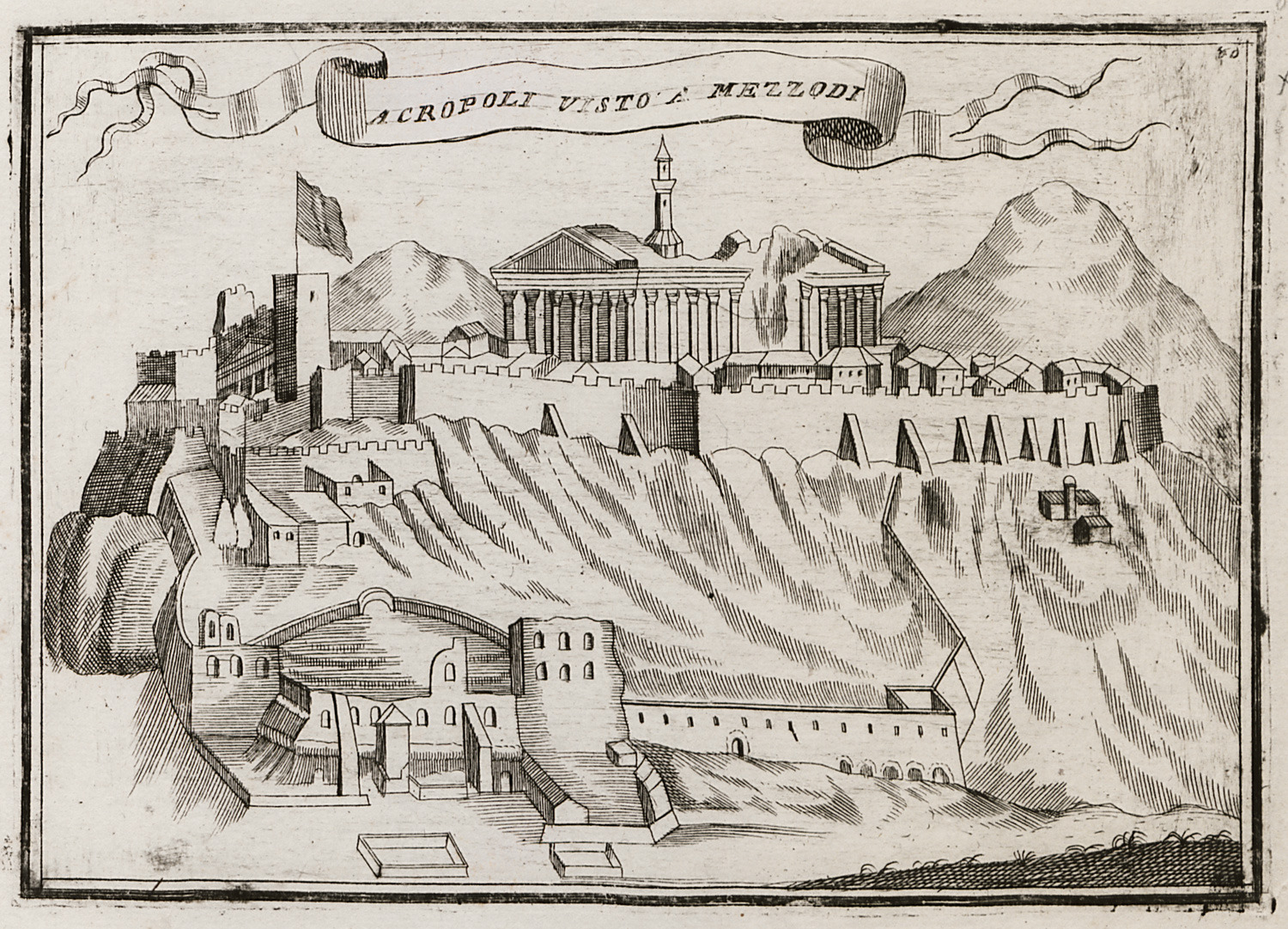
The Acropolis from the east.
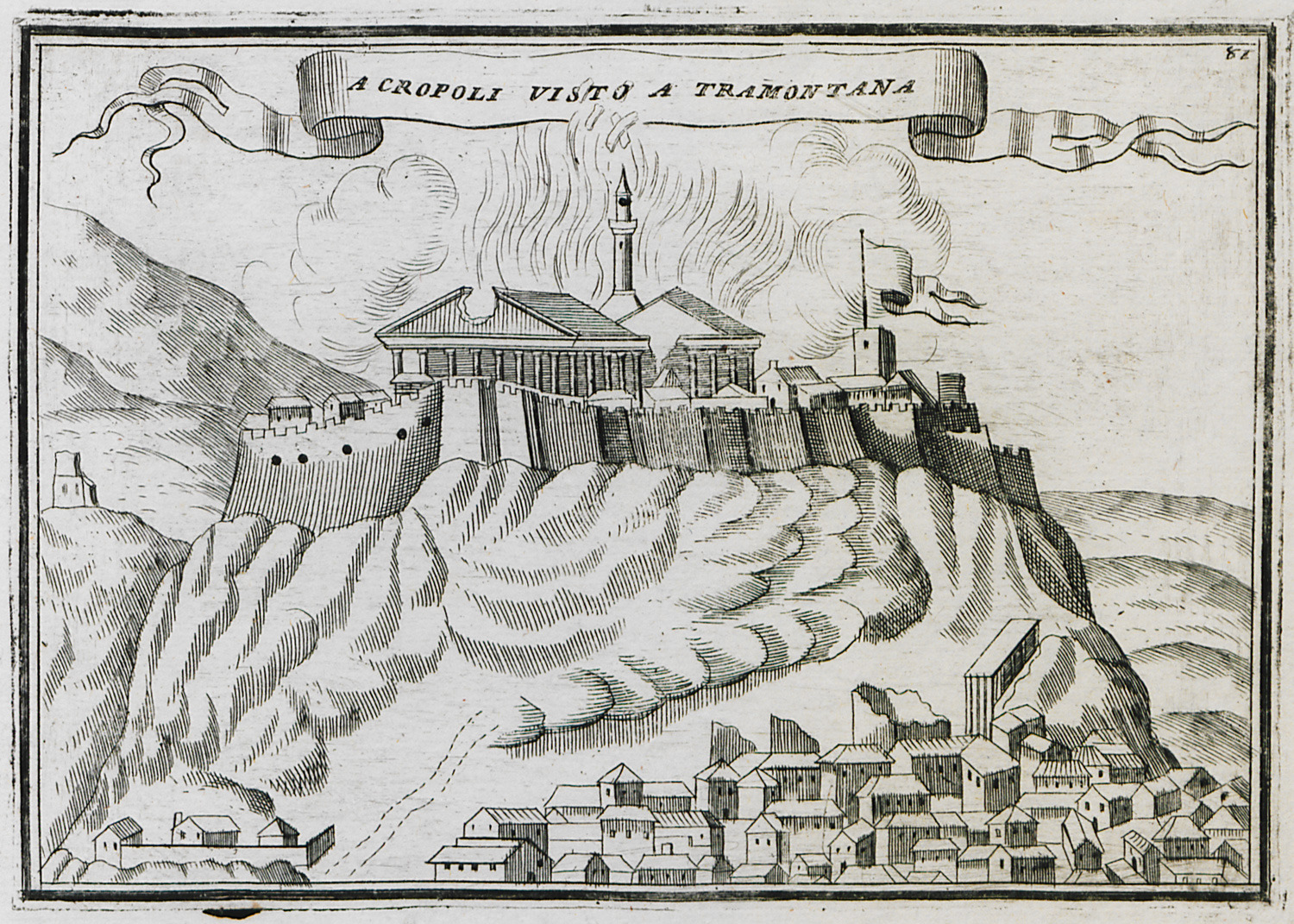
The Acropolis from the north.
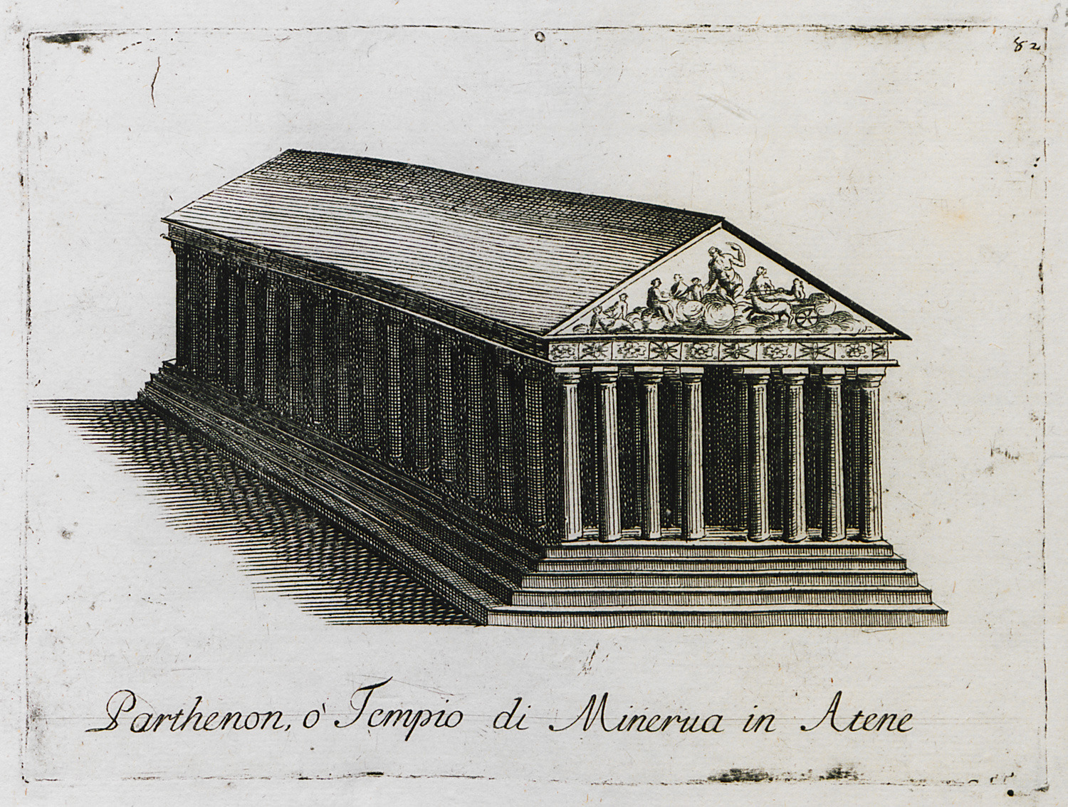
The Parthenon.
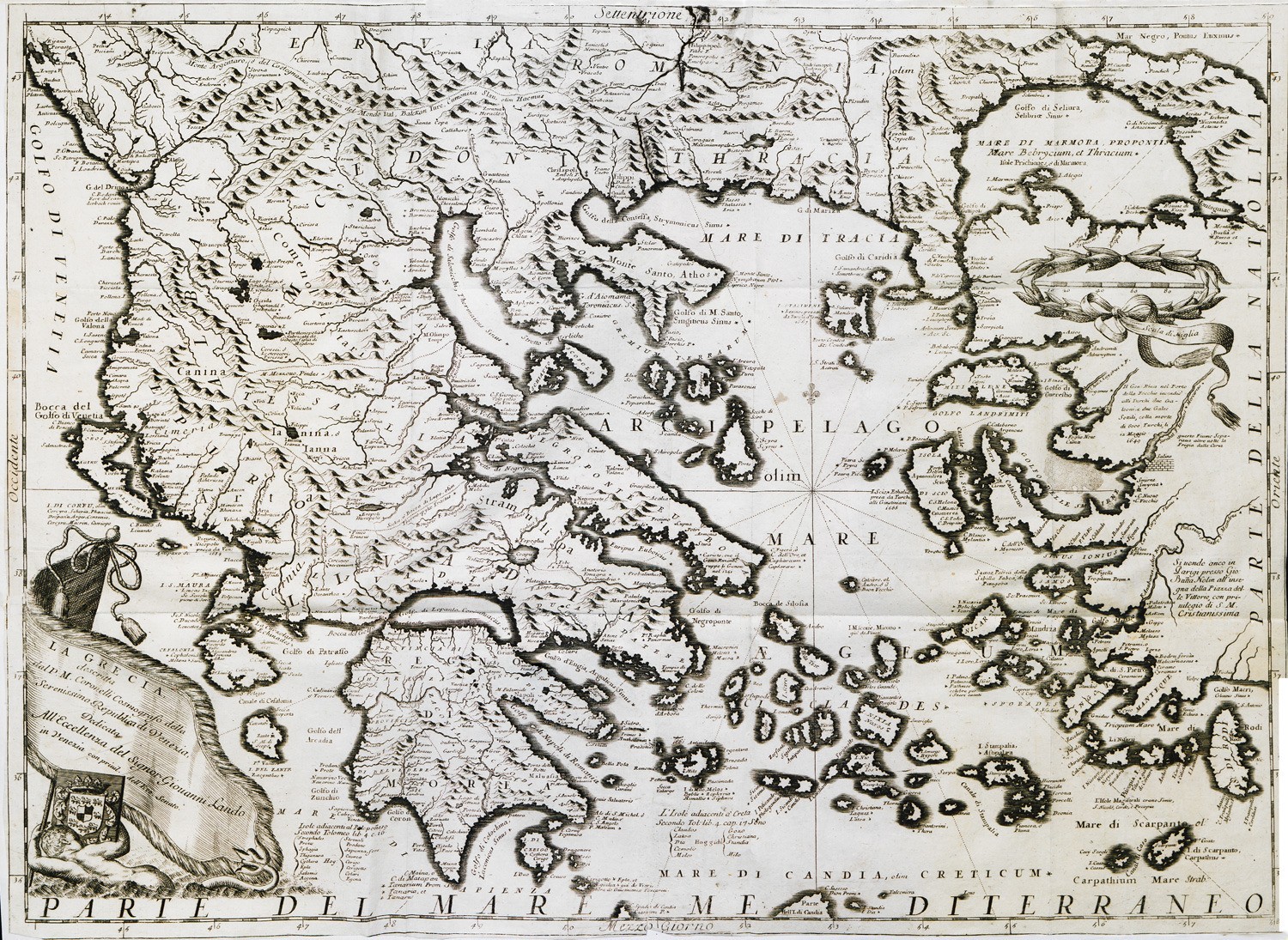
Map of Central Greece, the Aegean islands and the Peloponnese.
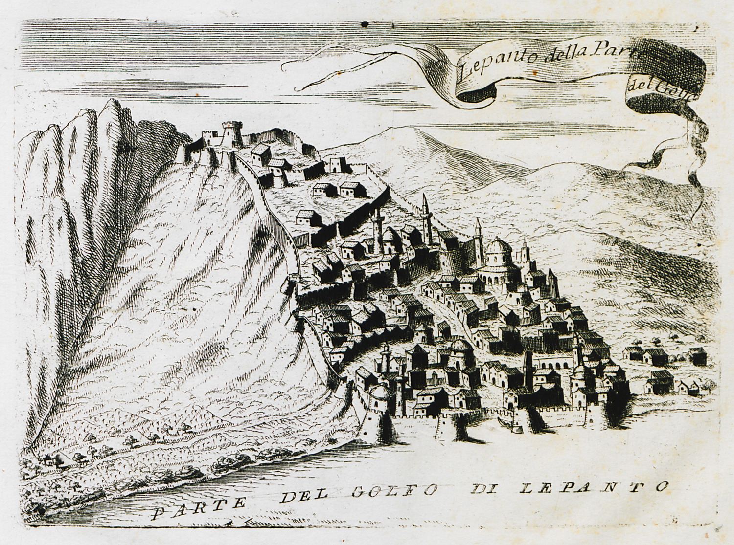
View of Naupactus from the sea.
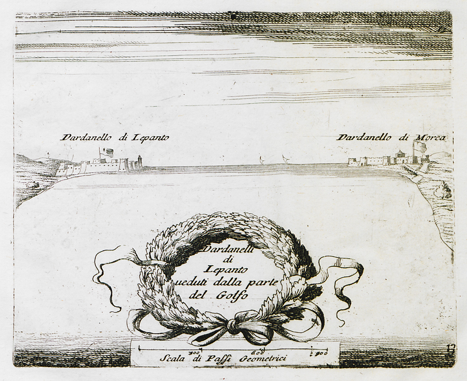
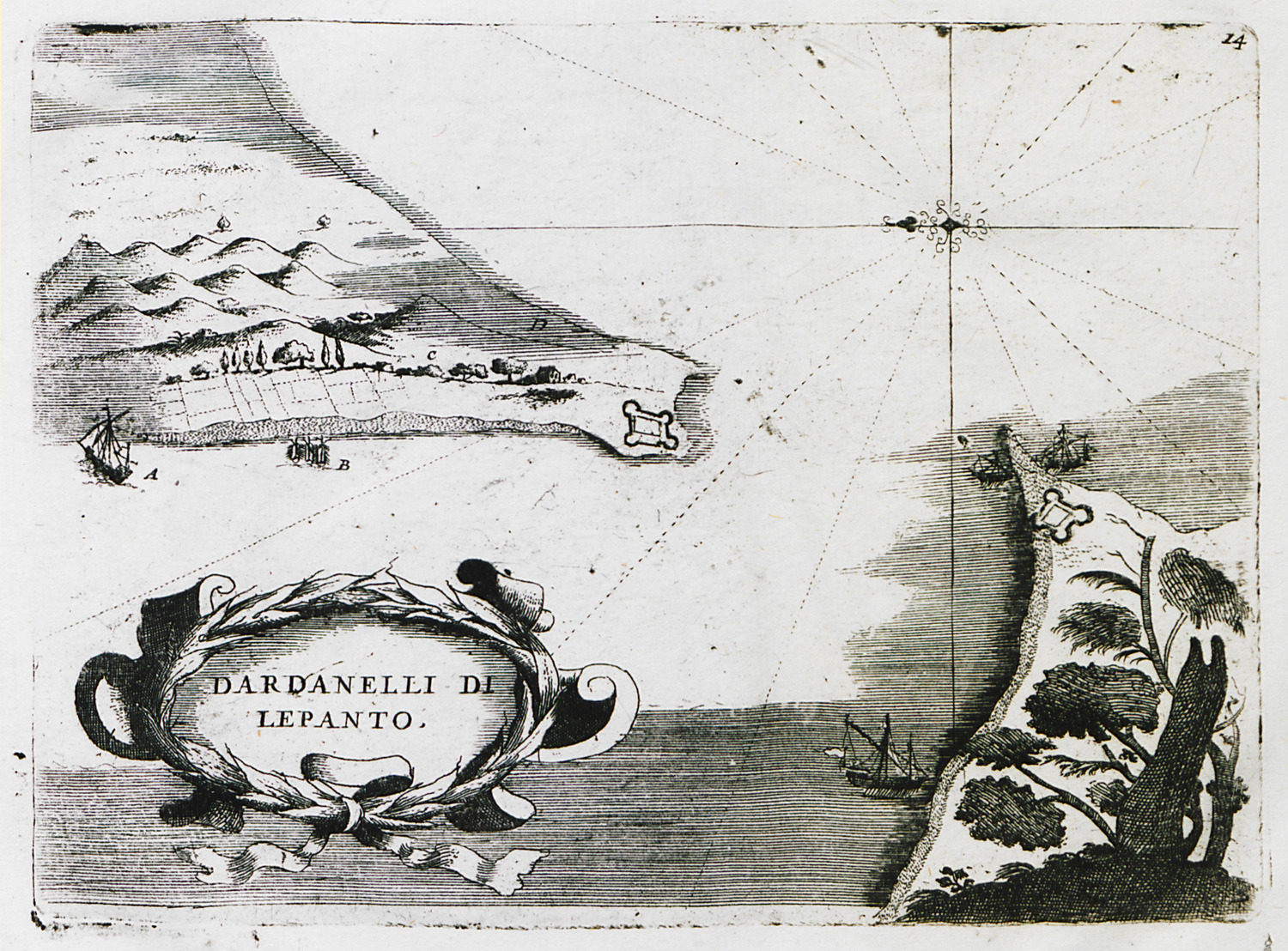
The strait of Rio – Antirrion, with views of Rio and Antirrio fortresses from the bay of Naupactus.
The strait of Rio – Antirrion, with plans of Rio and Antirrio fortresses.
Plan of Antirrion fortress.
The fortress of Antirrion from the east.
The fortress of Antirrion from the southwest.
The fortress of Antirrion from the north.
Map of Euboea.
Map of Chalcis area, with plans of Chalcis fortress and Karababa fortress.
Plan of Karababa fortress at Chalcis.
View of Volos. View of Chalcis.
Map of the coast of Attica and the islands of the Argo-saronic gulf.


