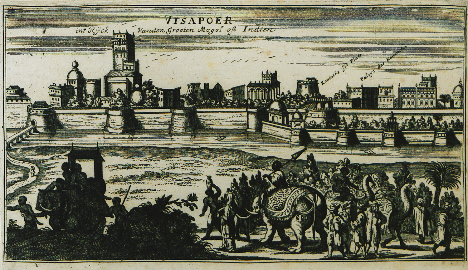
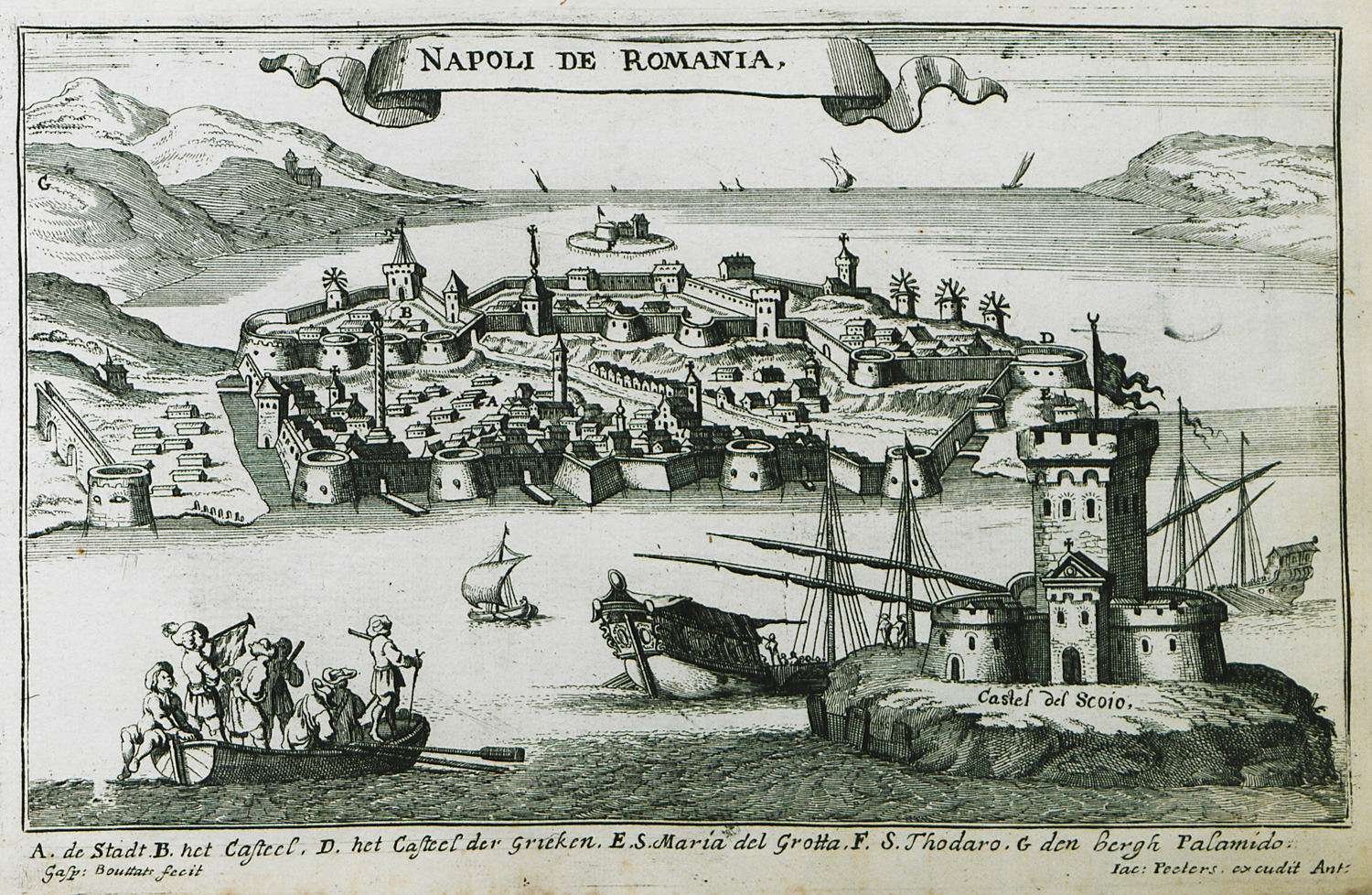
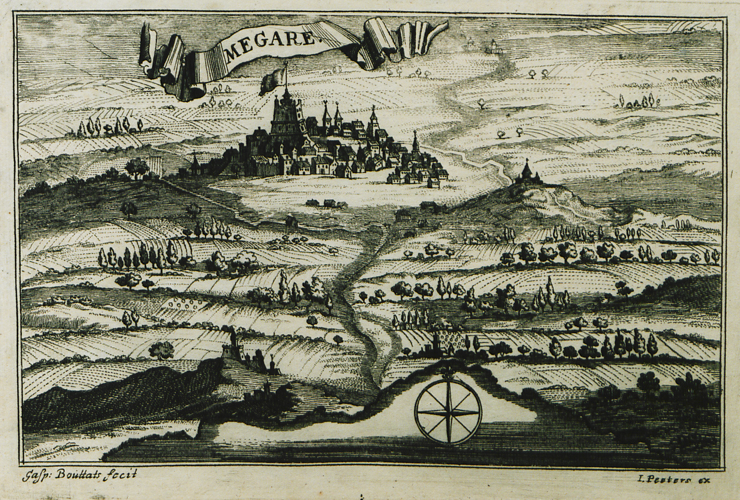
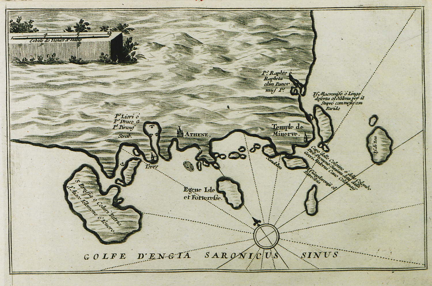
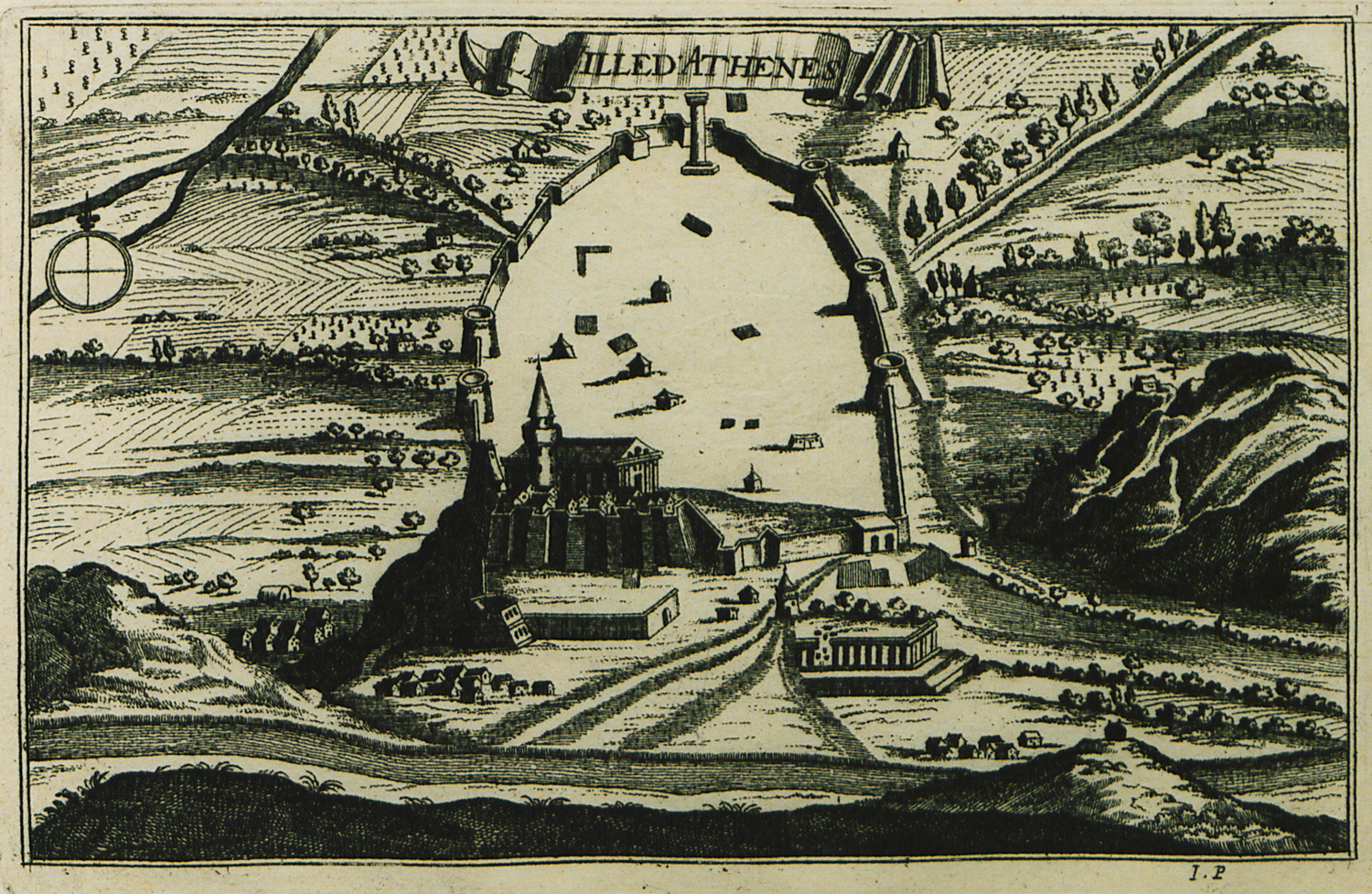
PEETERS, Jacob. Description des principales villes, havres et isles du golfe de Venise du coté oriental. Comme aussi des villes et forteresses de la Moree, et quelques places de la Grèce..., Anvers, Sur le marché des vieux Souliers, [1690?].
Flaman asıllı gravürcü ve kitapçı Jacob Peeters (1637-1695) bir sanatçı aileden gelmekteydi. Antwerp (Anvers) kentinde olan kitapçı dükkânı hakkında kitabında şunları yazmakta: "...her çeşit baskı ve gravür, mürekkeple çizilmiş yada renkli küçük ve büyük boy haritalar, duvar haritaları satılmaktadır". Peeters özellikle 1692 yılında yayınlamış olduğu "Dünya Atlas"ı ile tanınmıştır.
Burada sözkonusu olan albüm Venediklilerin Osmanlılara karşı kazandıkları büyük zaferleri öven kutlayıcı yayınlardan biridir. Buna benzer başka yayınlar V.M. Coronelli'nin kurmuş olduğu Argonotlar Coğrafya Akademisi tarafından gerçekleştirilmişti.
Bu baskıdaki tablolar Jacob Peeters'in kardeşi Johannes yada Jan Peeters'in (1625-1677) çizimlerine dayanmaktadır. Johannes Peeters'in çizmiş olduğu birçok kent görünümü Merian tarafından taşa nakşedilmişti. Johannes, deniz manzarası resminde uzman ve tanınmış bir ressam ve gravürcü olan büyük kardeşleri Bonaventura Peeters'in öğrencisiydi.
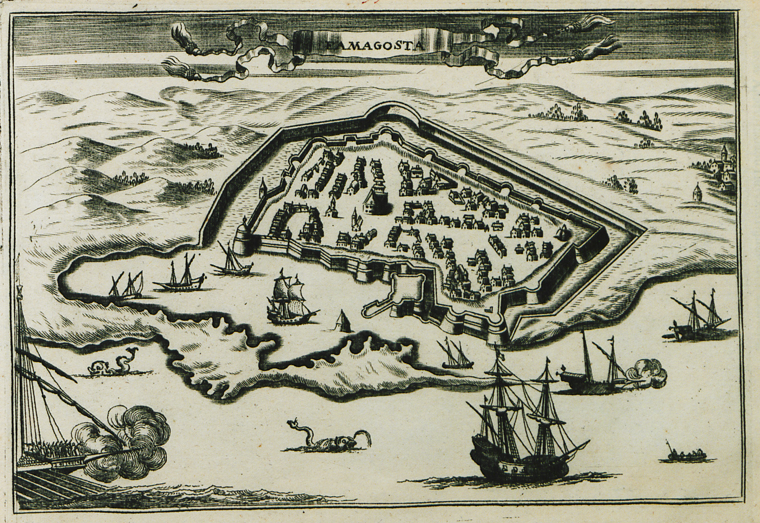
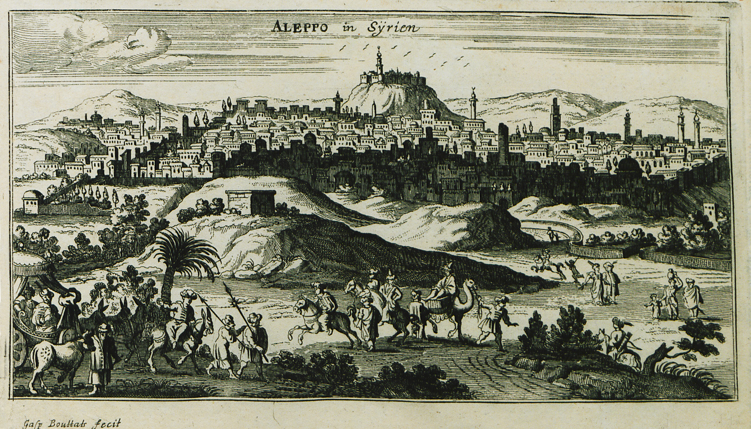
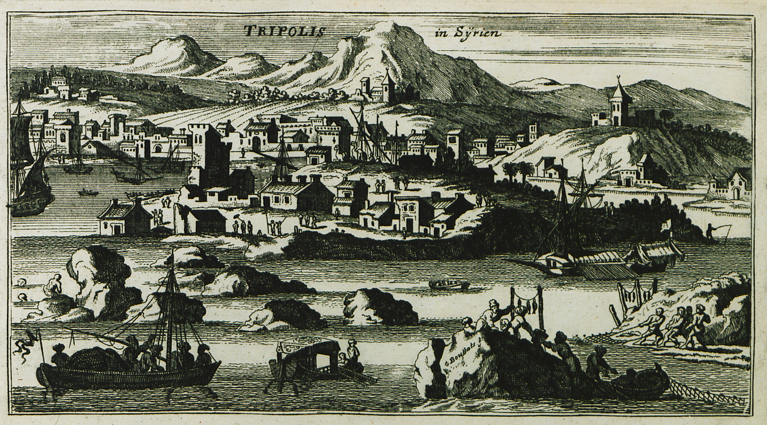
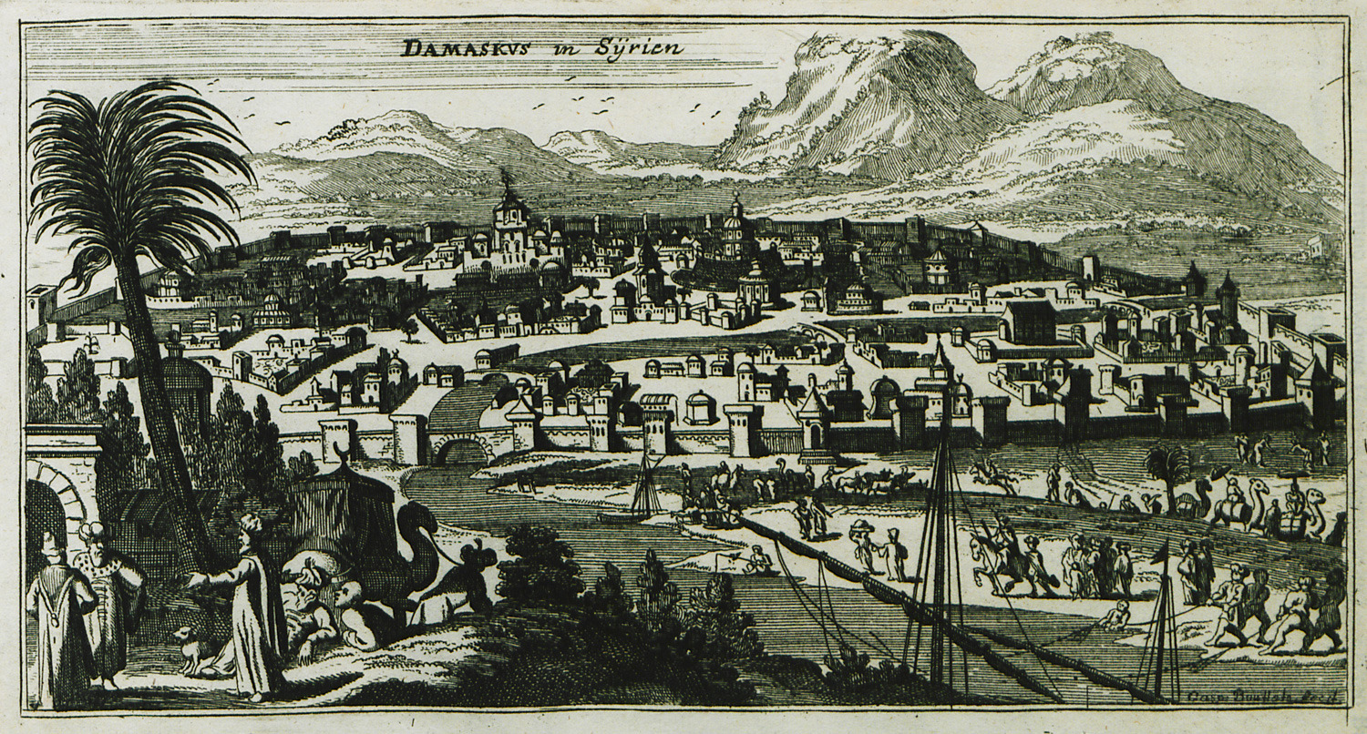
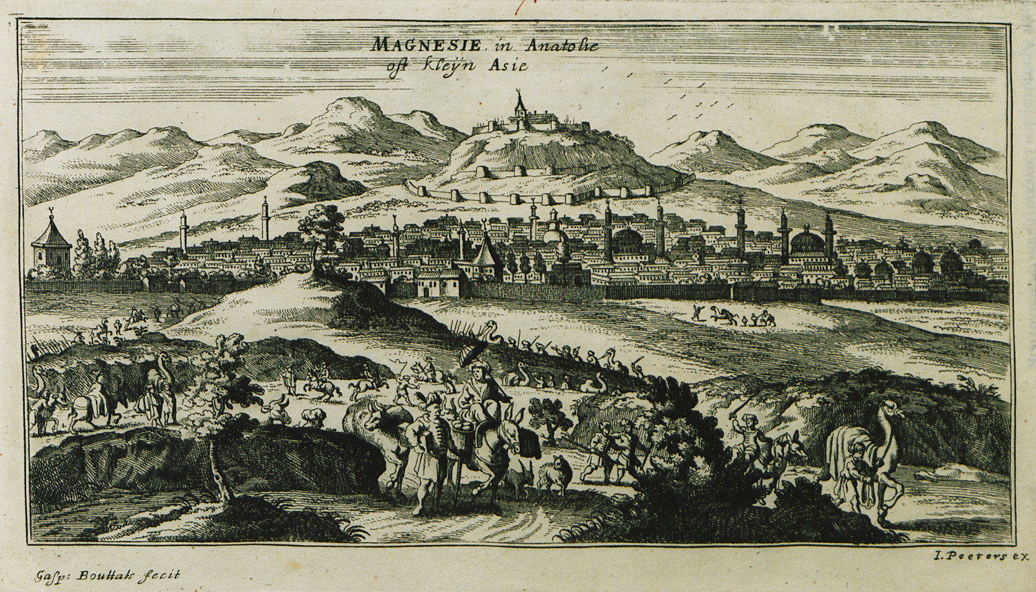
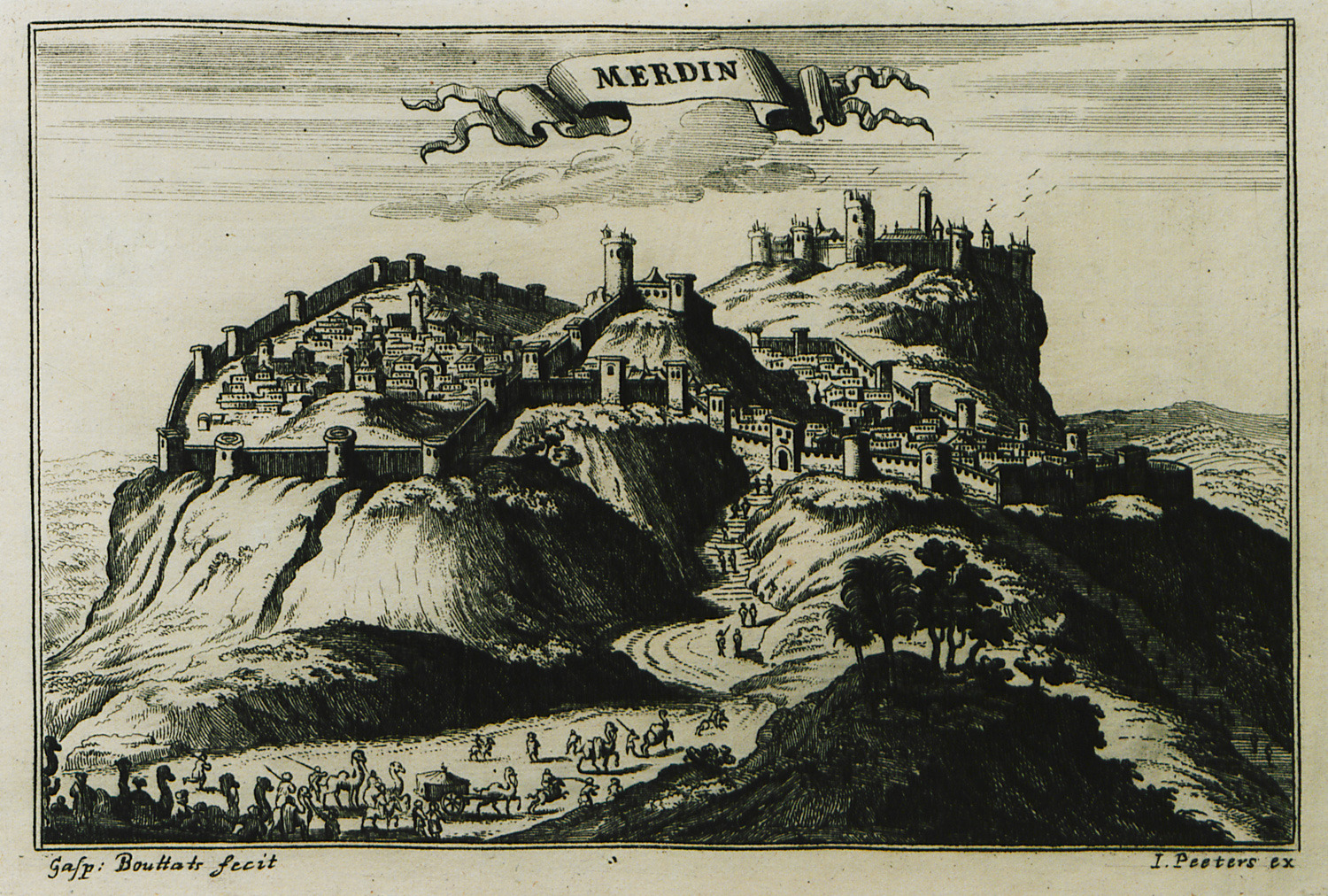
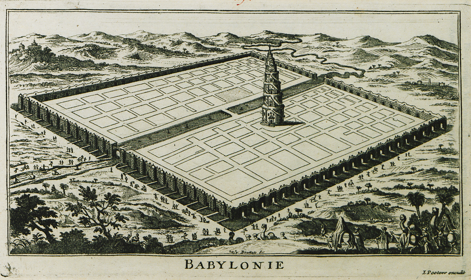
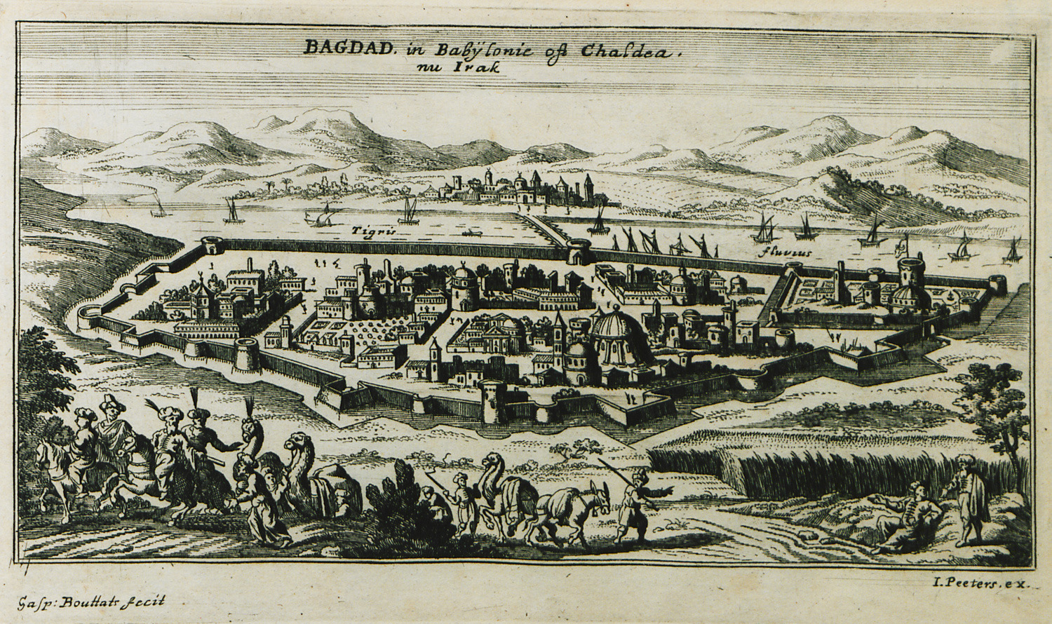
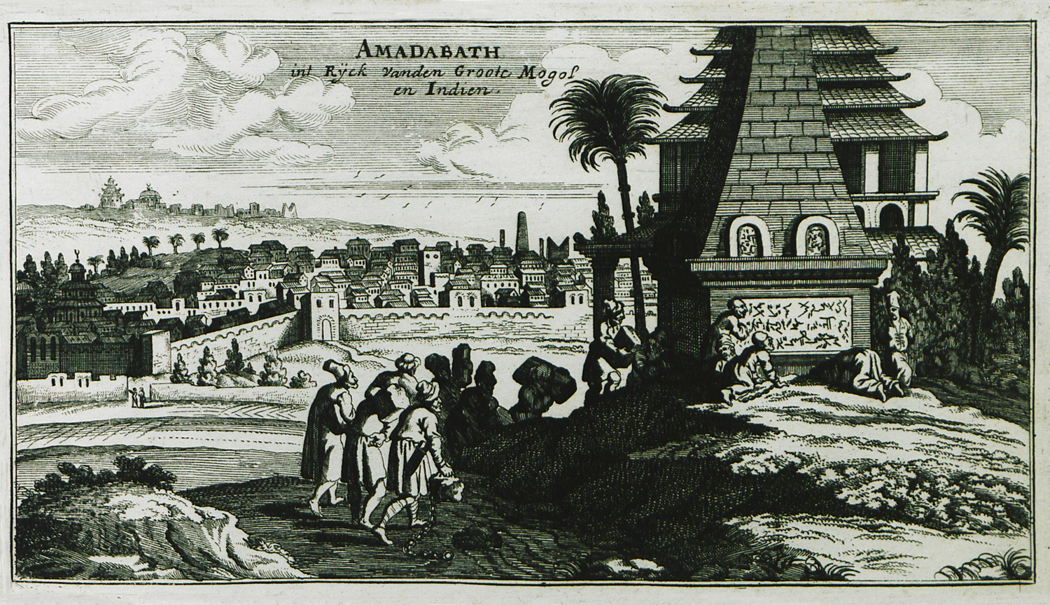
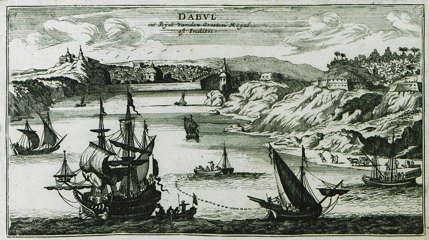
Gravürlerin çoğu tanınmış bir kitap tüccarı ve gravür öğretmeni olan Gaspar Bouttats (1640-1695) tarafından nakşedilmişti. Kitabın başında, görüntülenen her şehrin ve konunun betimlemesi yapılmış, ancak tablo sayısı her kitapta aynı değildir. Tablolar Karadağ (Montenegro), Arnavutluk, Hırvatistan, İyon ve Ege denizleri, Yunanistan'ın anakara kısmı (Peloponez, Attika, Tesalya), Anadolu, Suriye, Kıbrıs, Kutsal Yerler, Türkiye, Yemen, Irak, Ermenistan, Hazar denizi, hatta İran ve Hindistan'a dek uzanan bir coğrafyadan yer manzaraları, kentler ve liman kentleri içermektedir.
Yazan: İoli Vingopoulou
Konular (114)
-
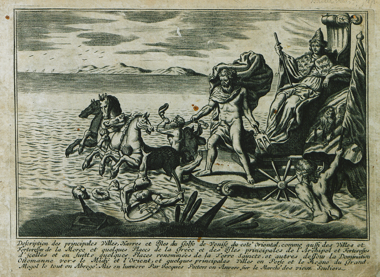
Title page. Allegory of Venice's victory in the Sixth Venetian-Ottoman war (1684–99).
-
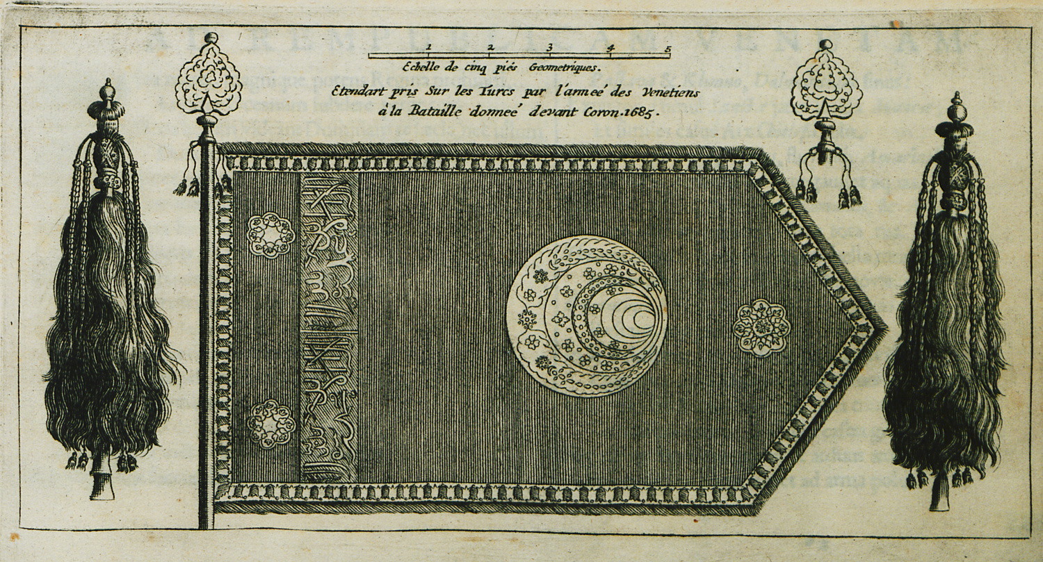
Ottoman emblem, taken by the Venetians as trophy after they conquered Koroni in 1685.
-
-
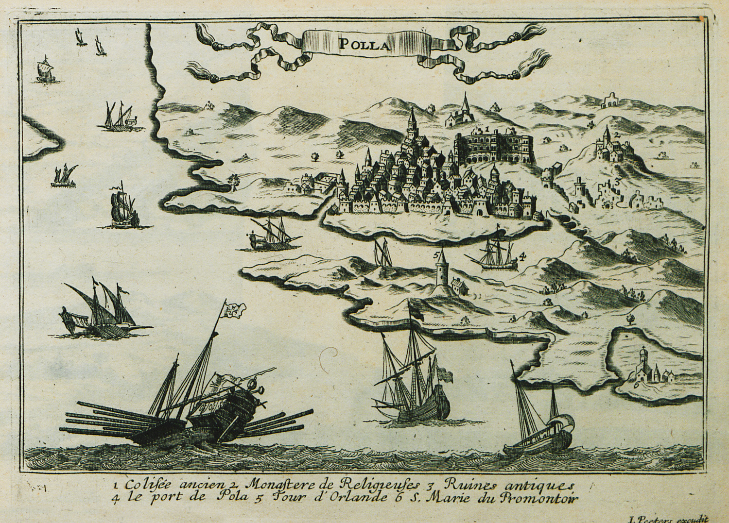
-
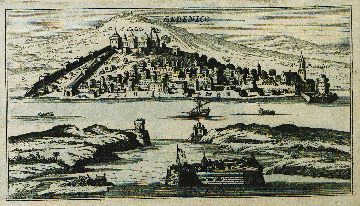
-
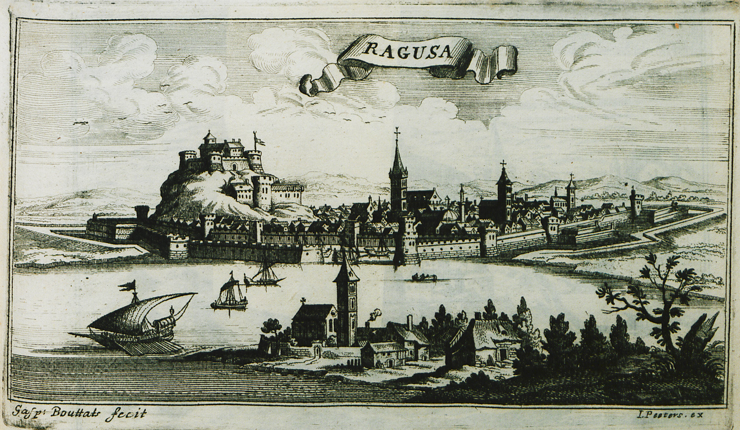
-
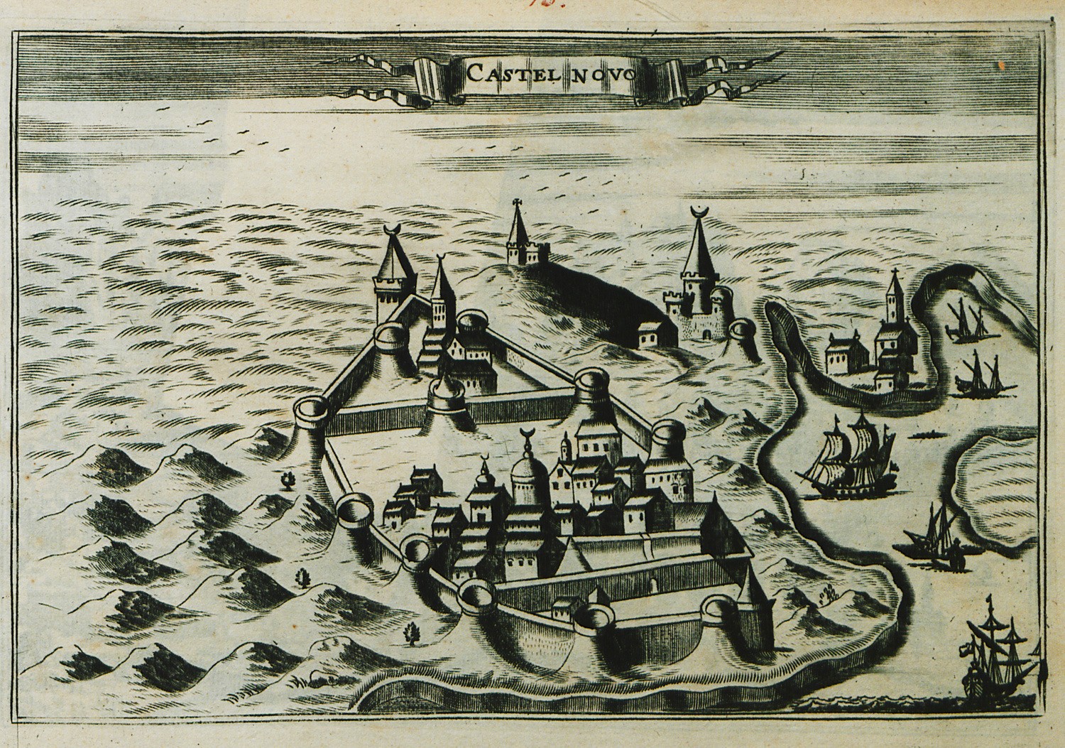
-
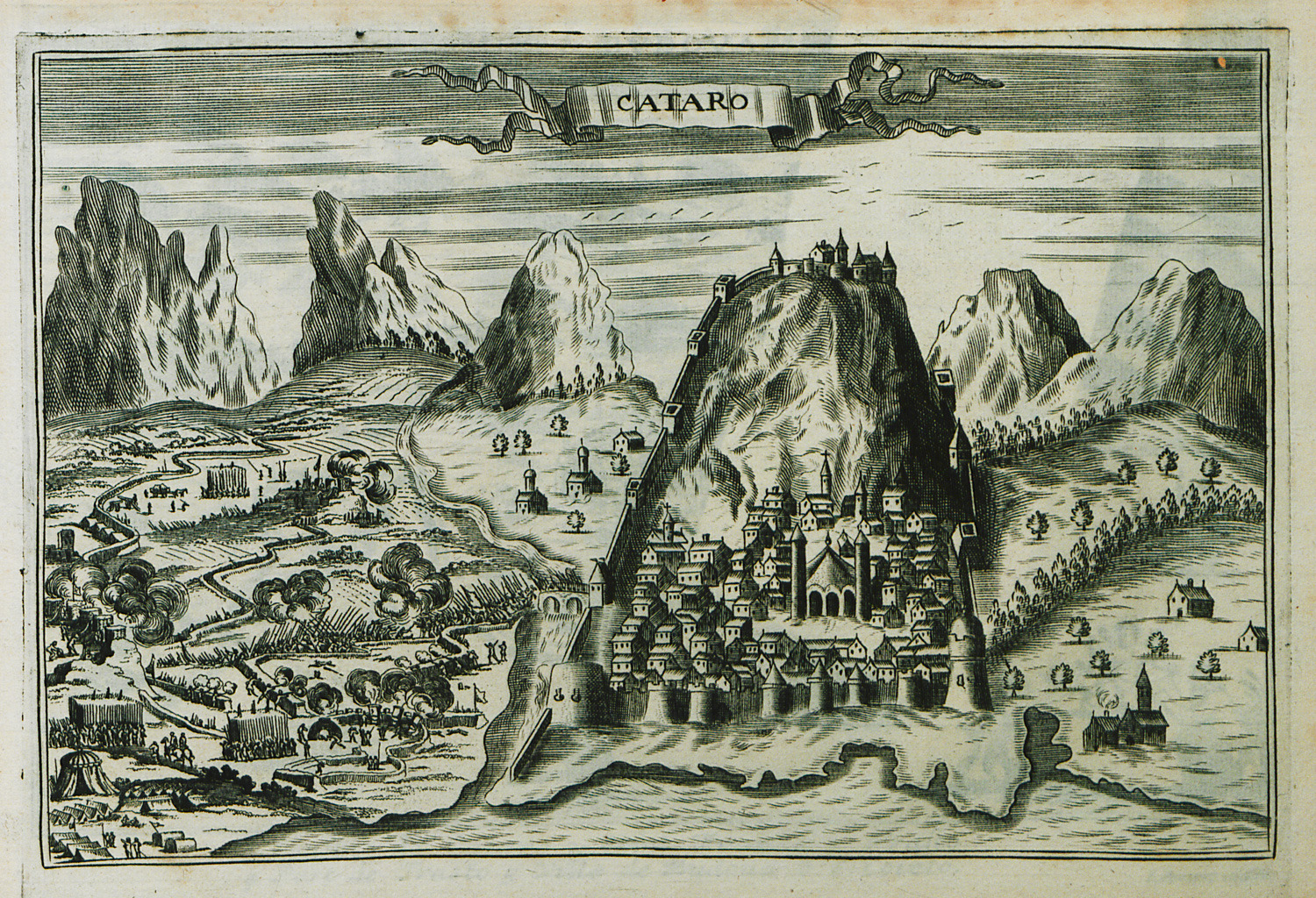
-
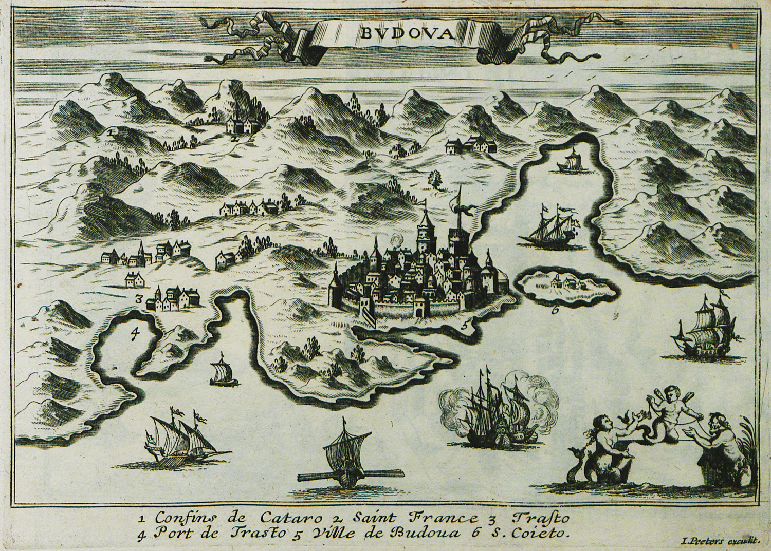
-
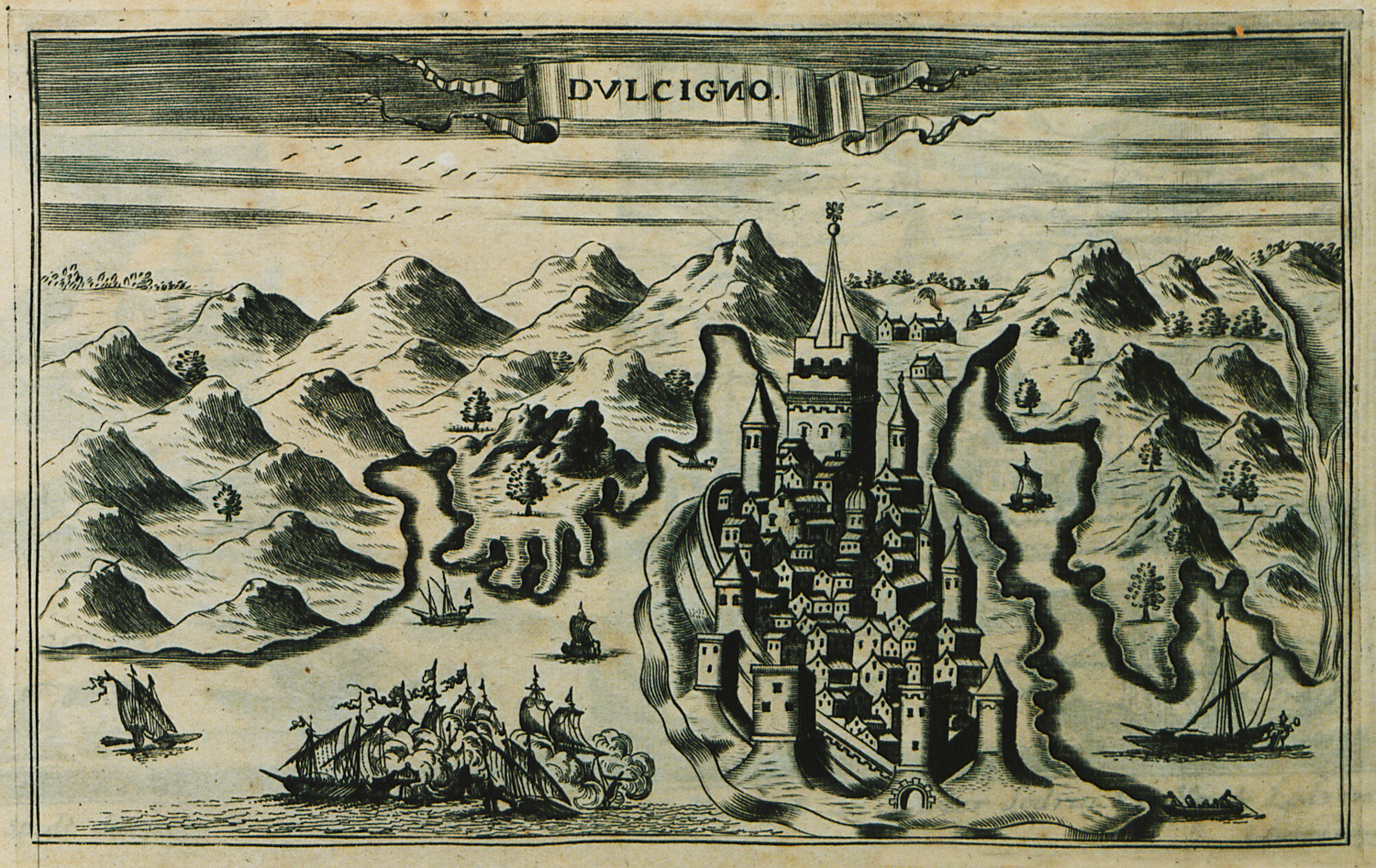
View of Ulcinj, Montenegro, besieged by the Venetian army during the Sixth Venetian-Ottoman war.
-
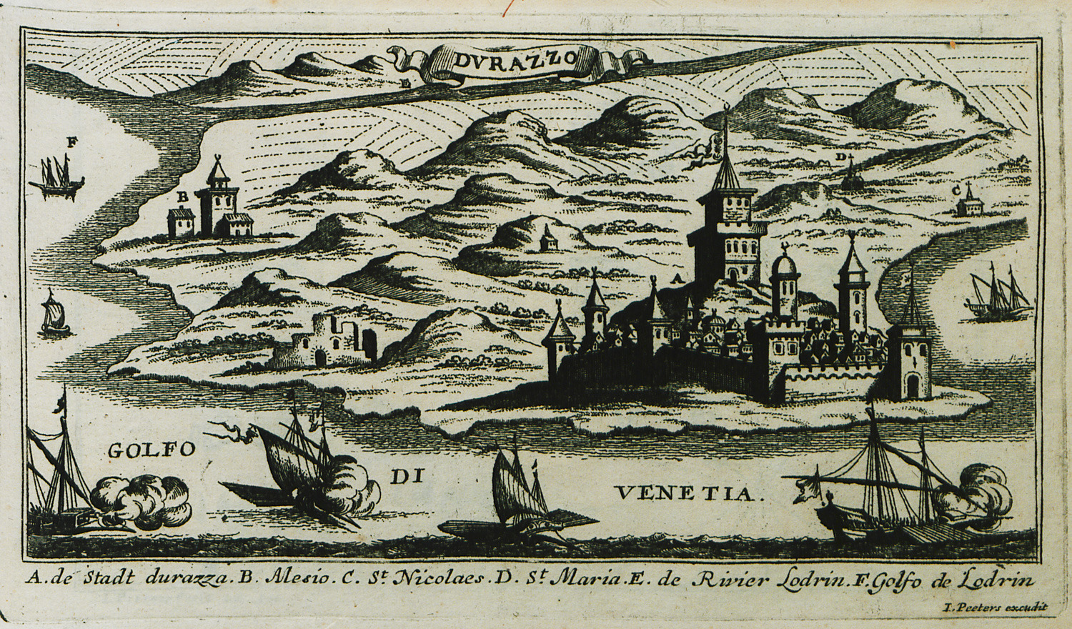
View of Durrës, Albania, besieged by the Venetian army during the Sixth Venetian-Ottoman war.
-
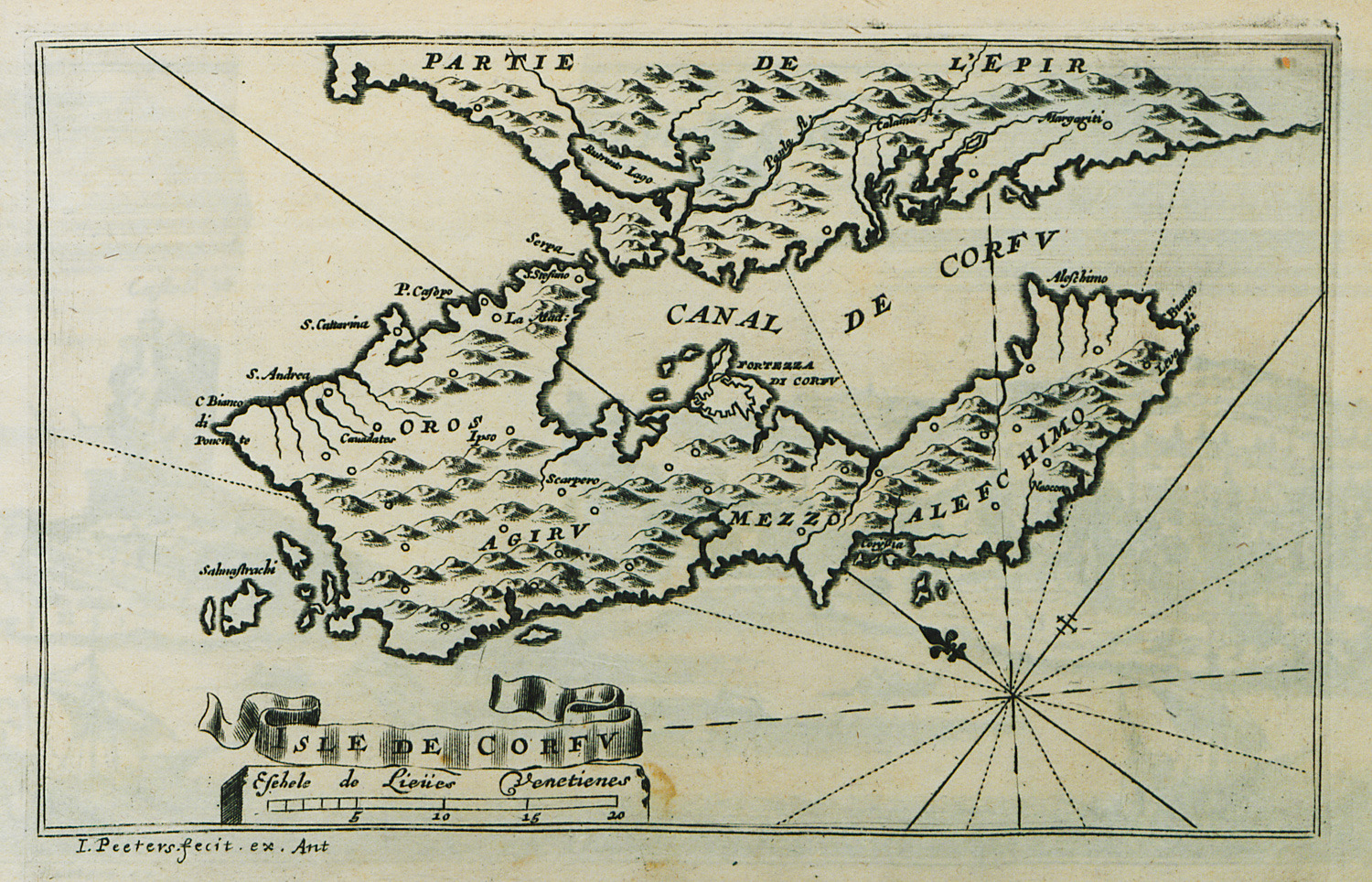
-
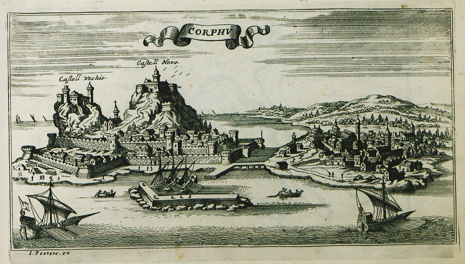
-
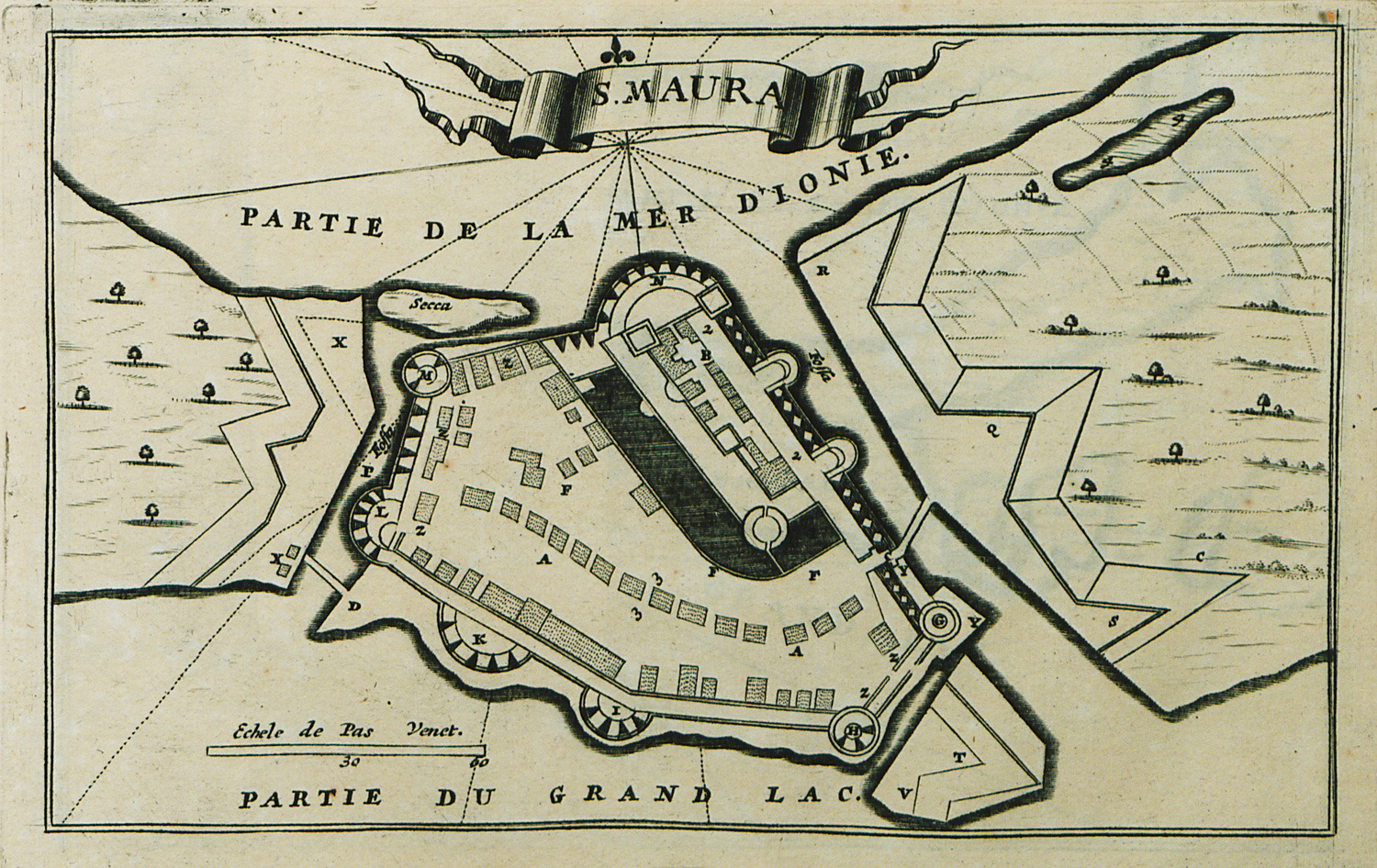
-
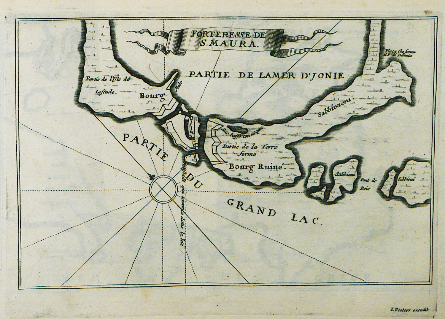
Plan of the castle of Santa Maura at Lefkada island. Map of the surrounding area.
-
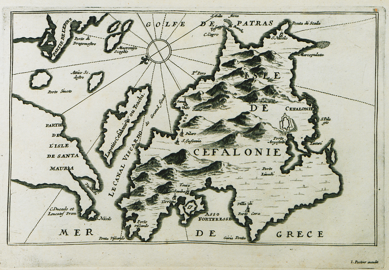
-
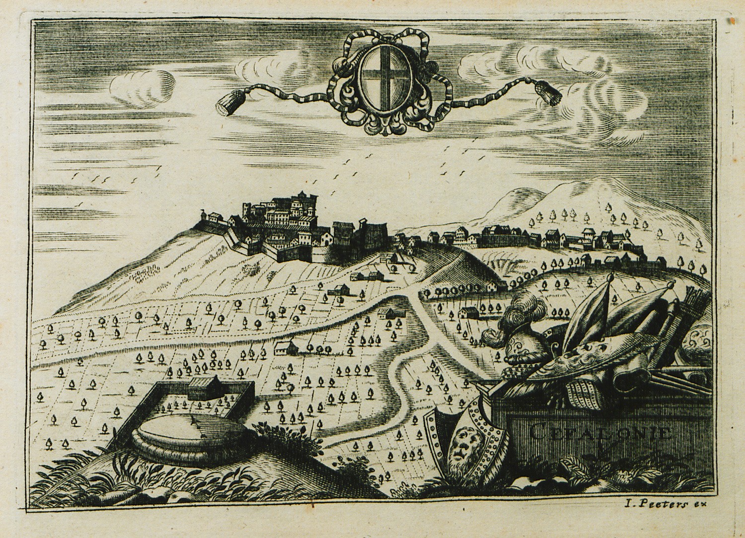
View of the castle of Agios Georgios, older capital of Cephalonia, with its suburb (borgo).
-
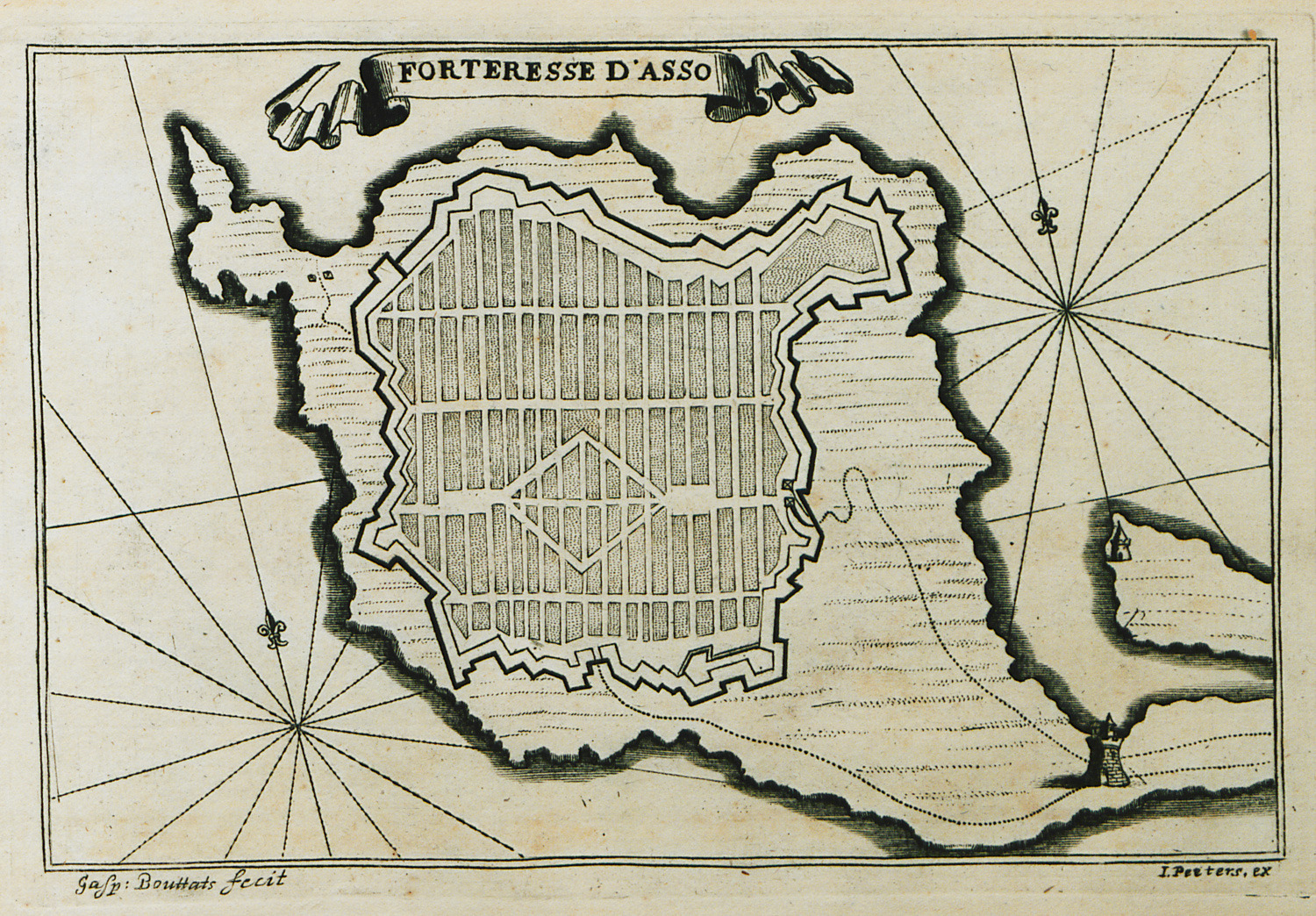
-
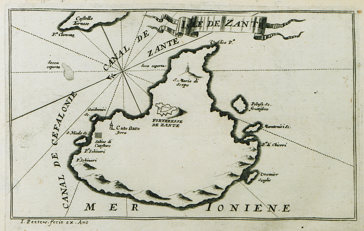
-
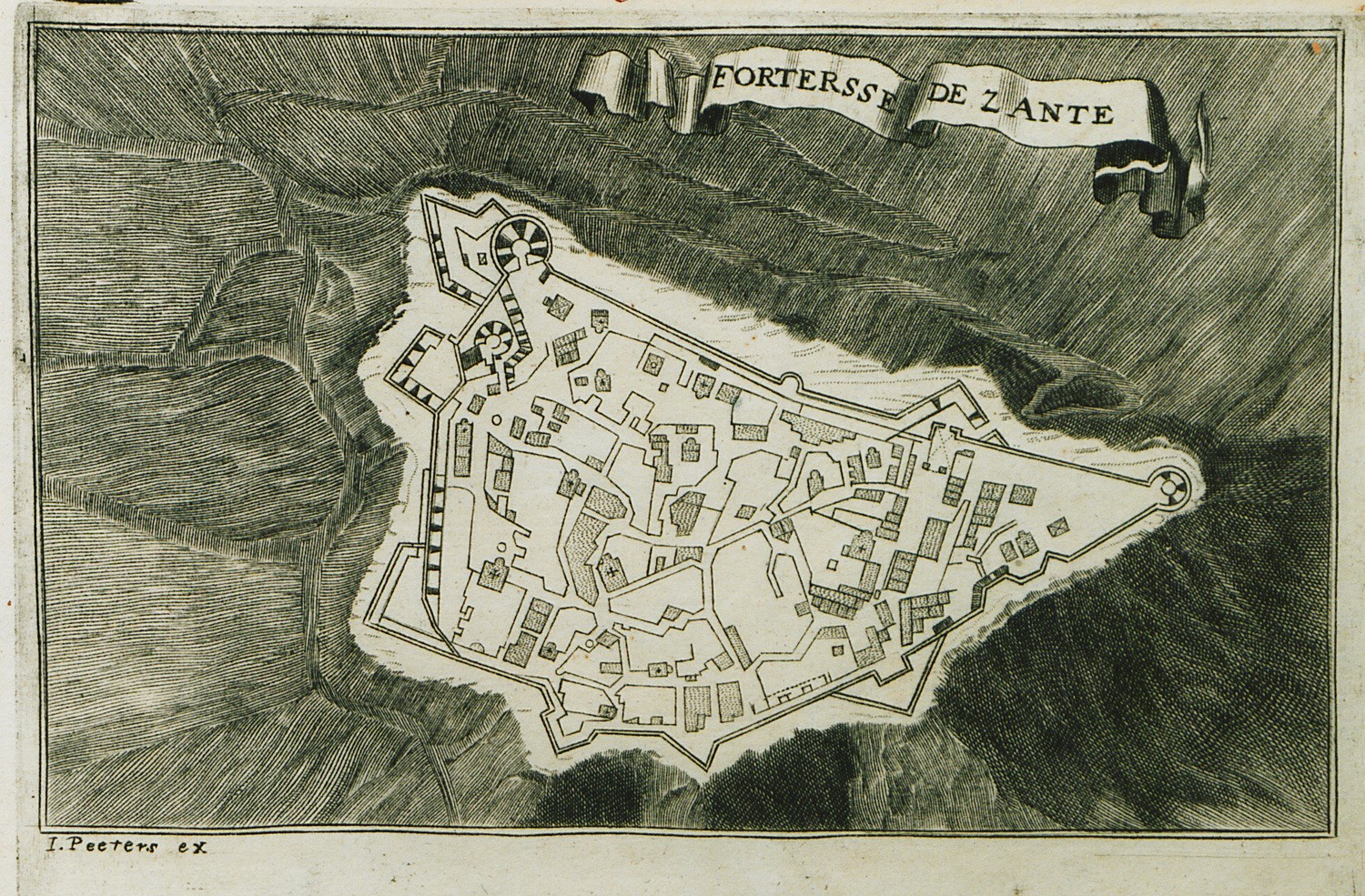
-
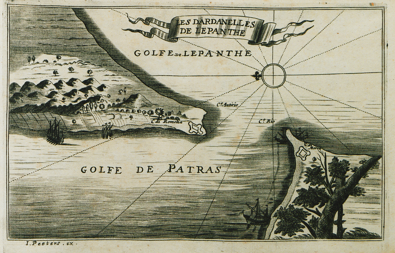
The strait of Rion-Antirrion, with plans of the fortresses at the strait.
-
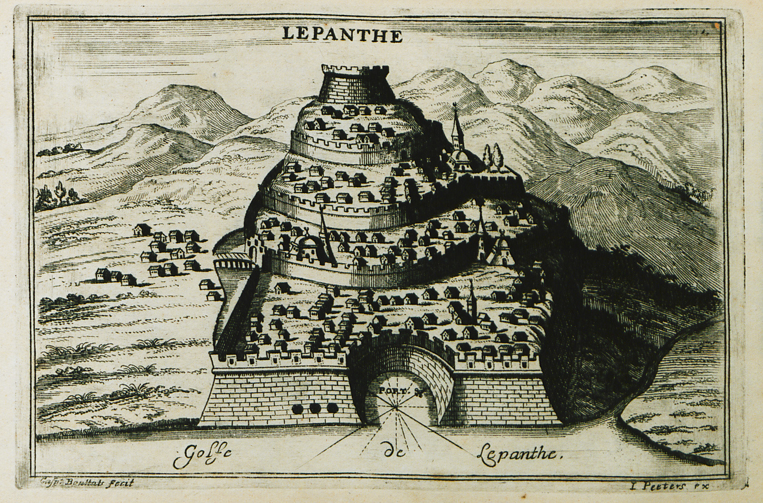
-
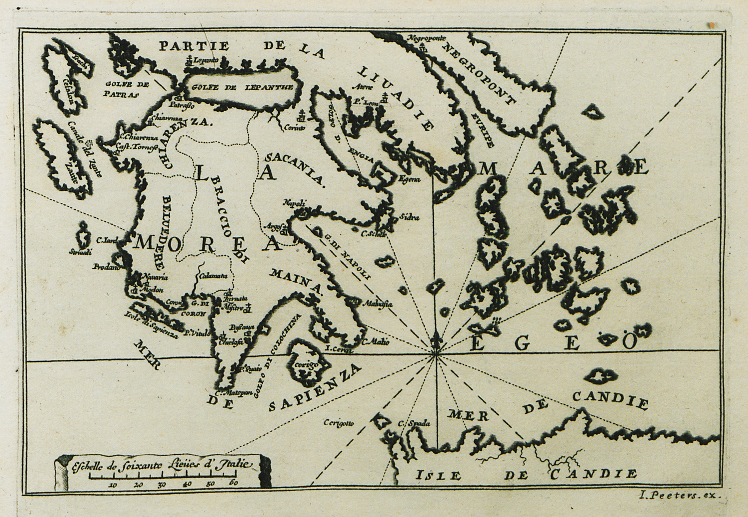
-
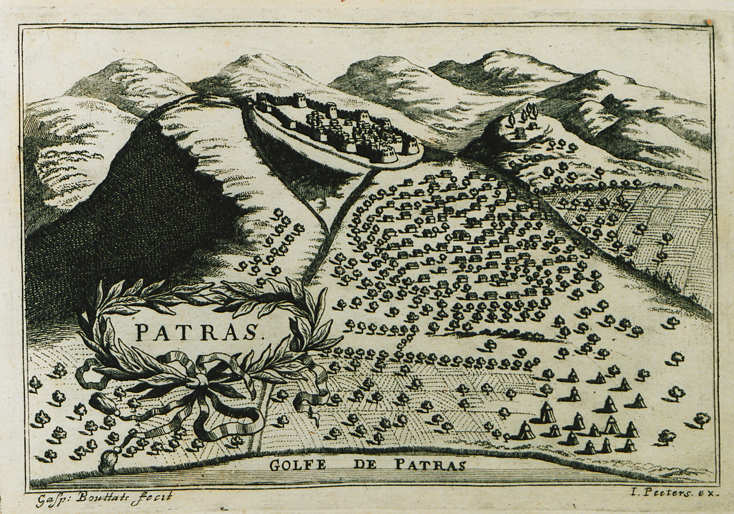
-
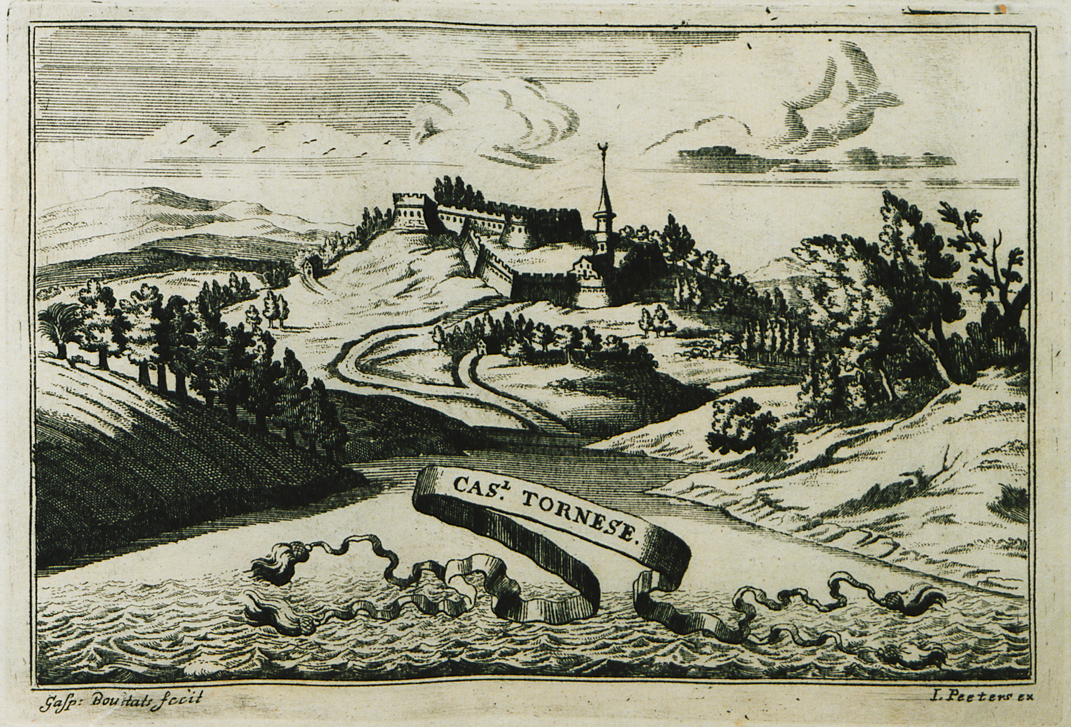
-
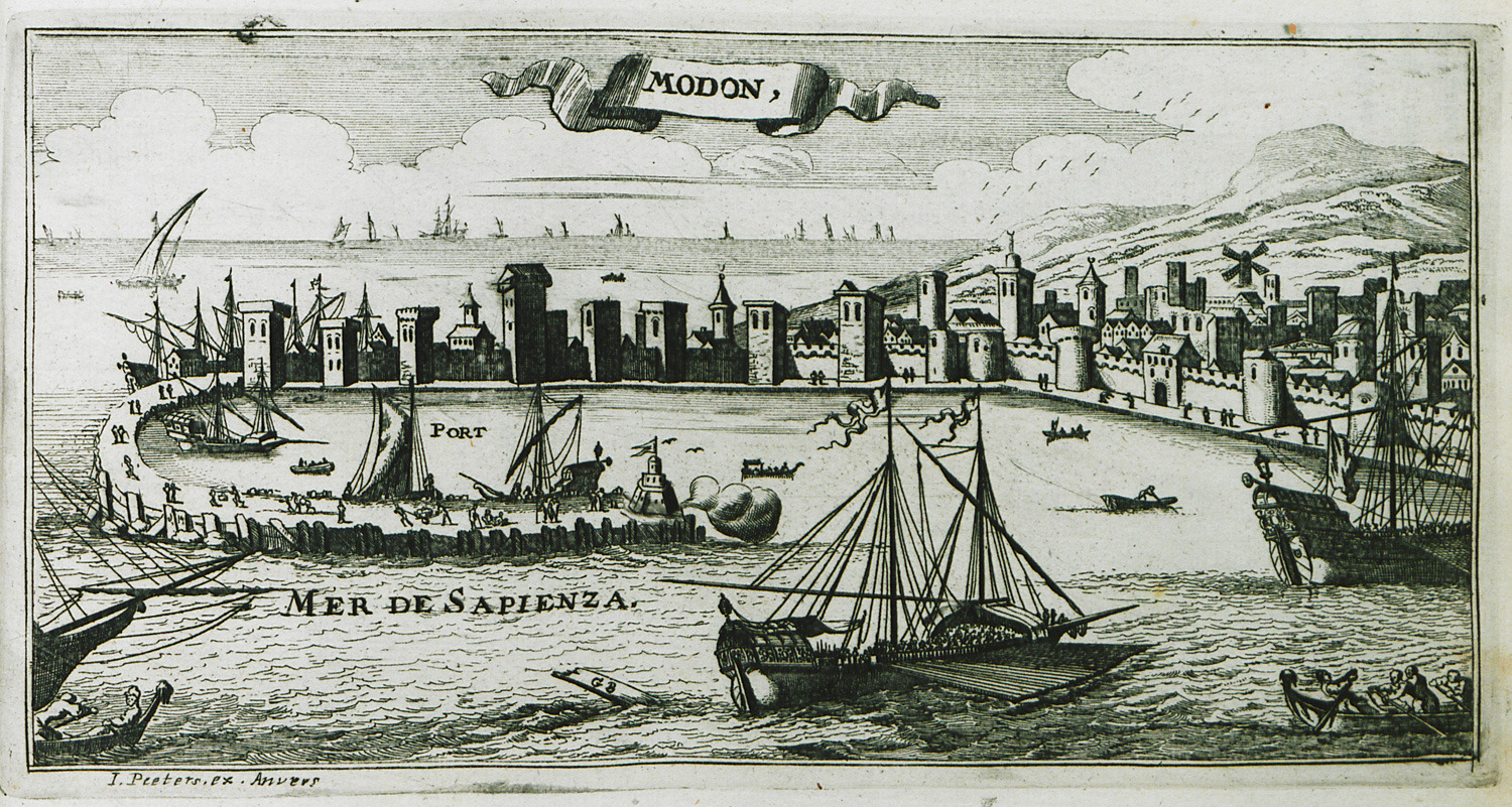
-
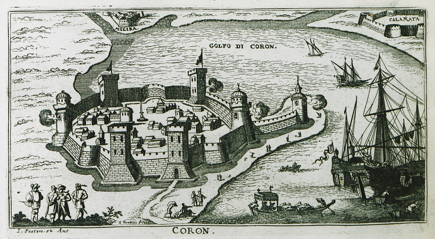
-
-
-
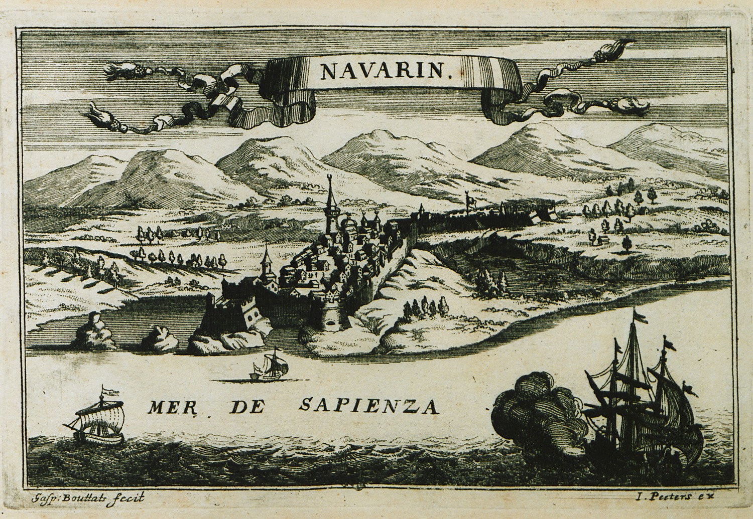
View of Pylos (Niokastro) during the Sixth Venetian-Ottoman War.
-
-
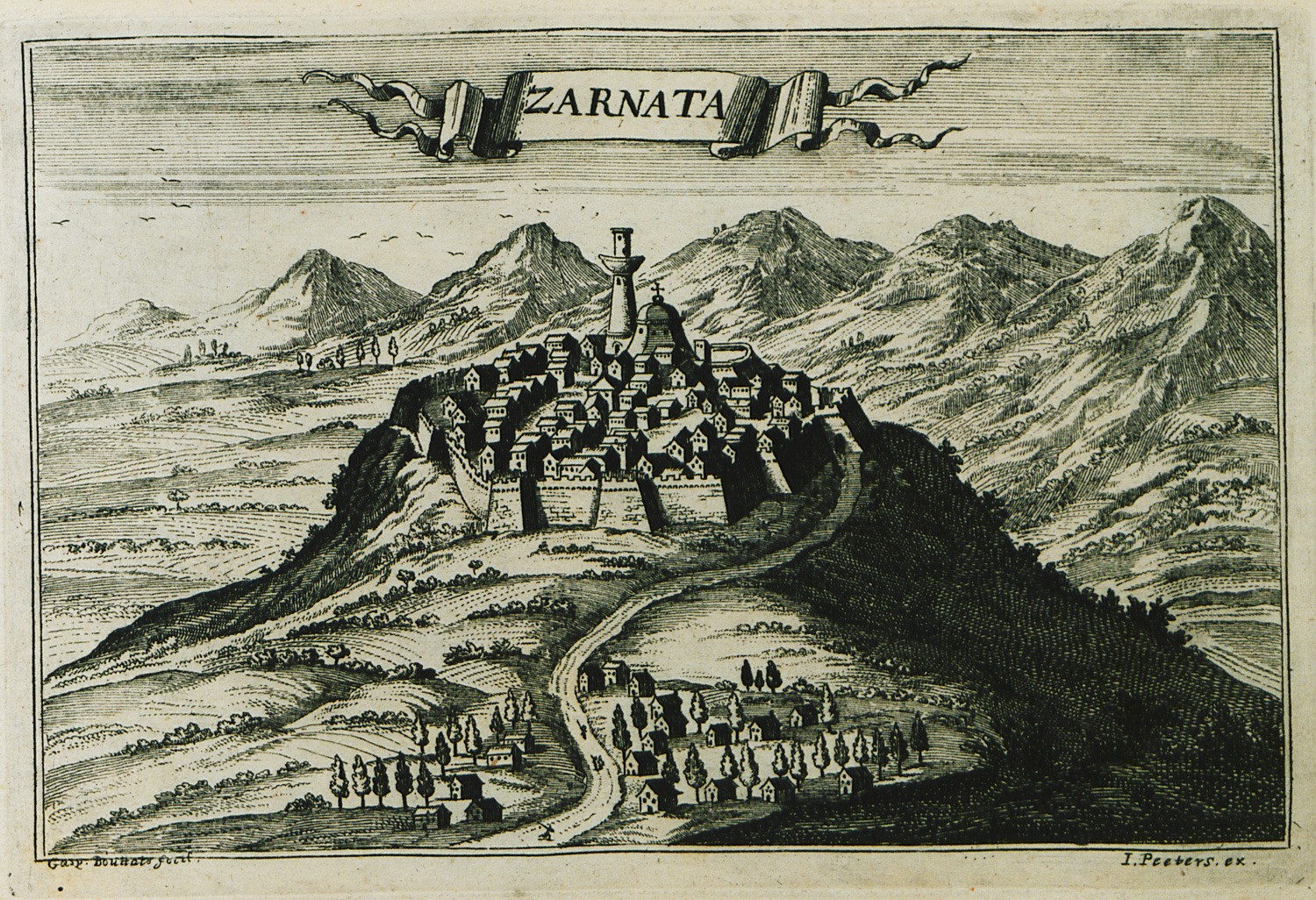
-
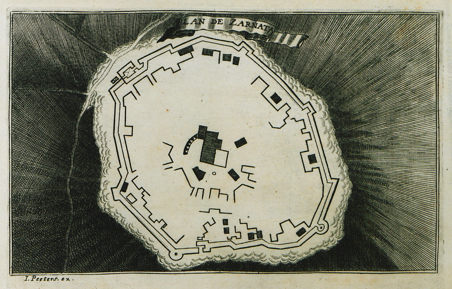
-
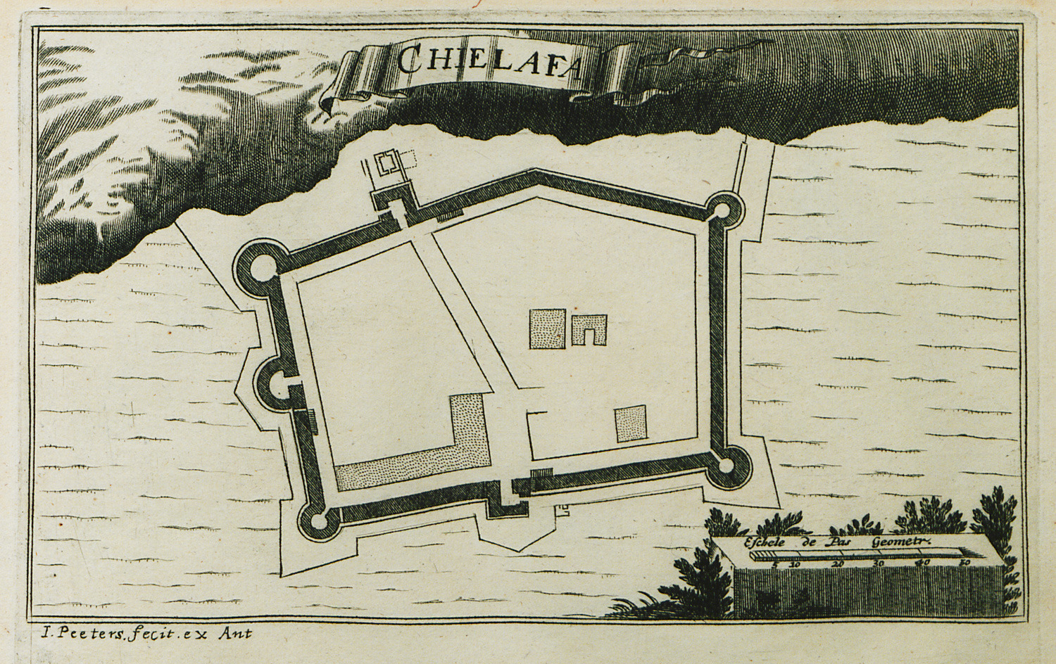
-
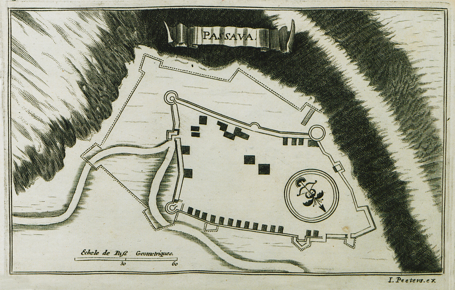
-
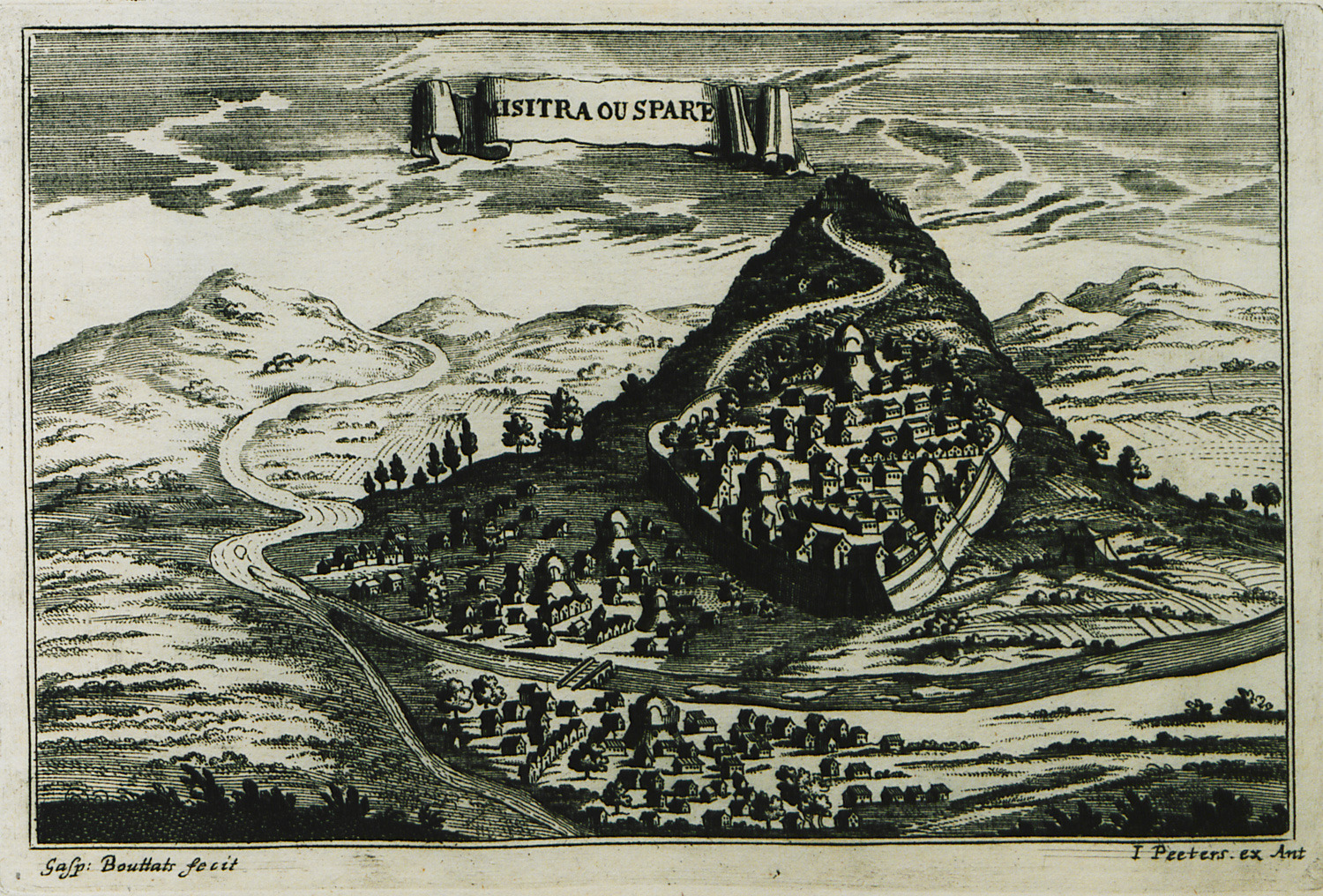
-
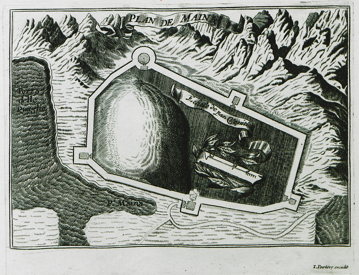
-
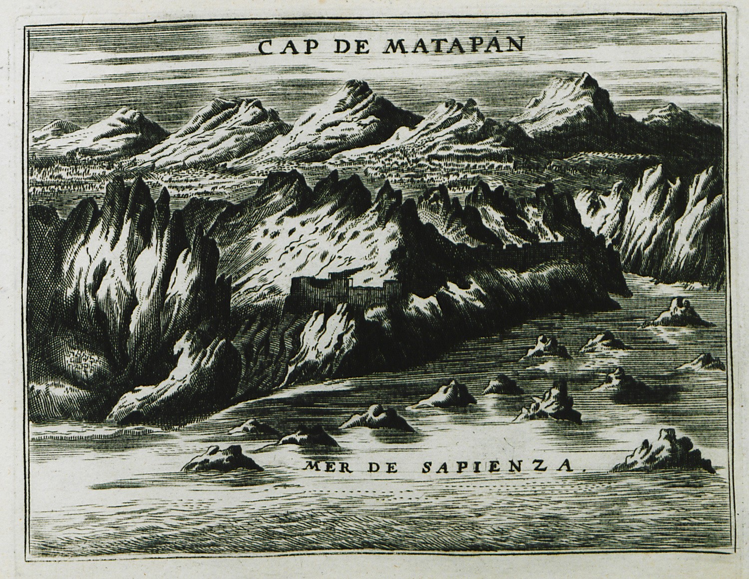
-
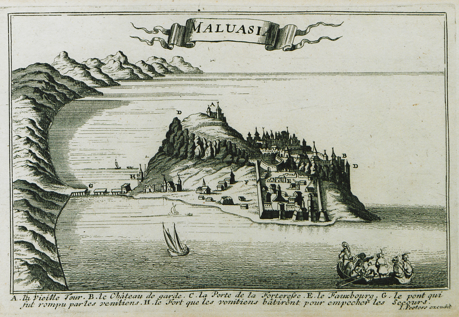
-
-
-
-
-
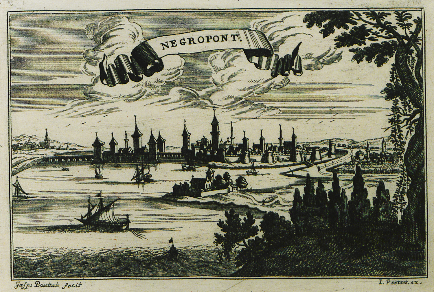
-
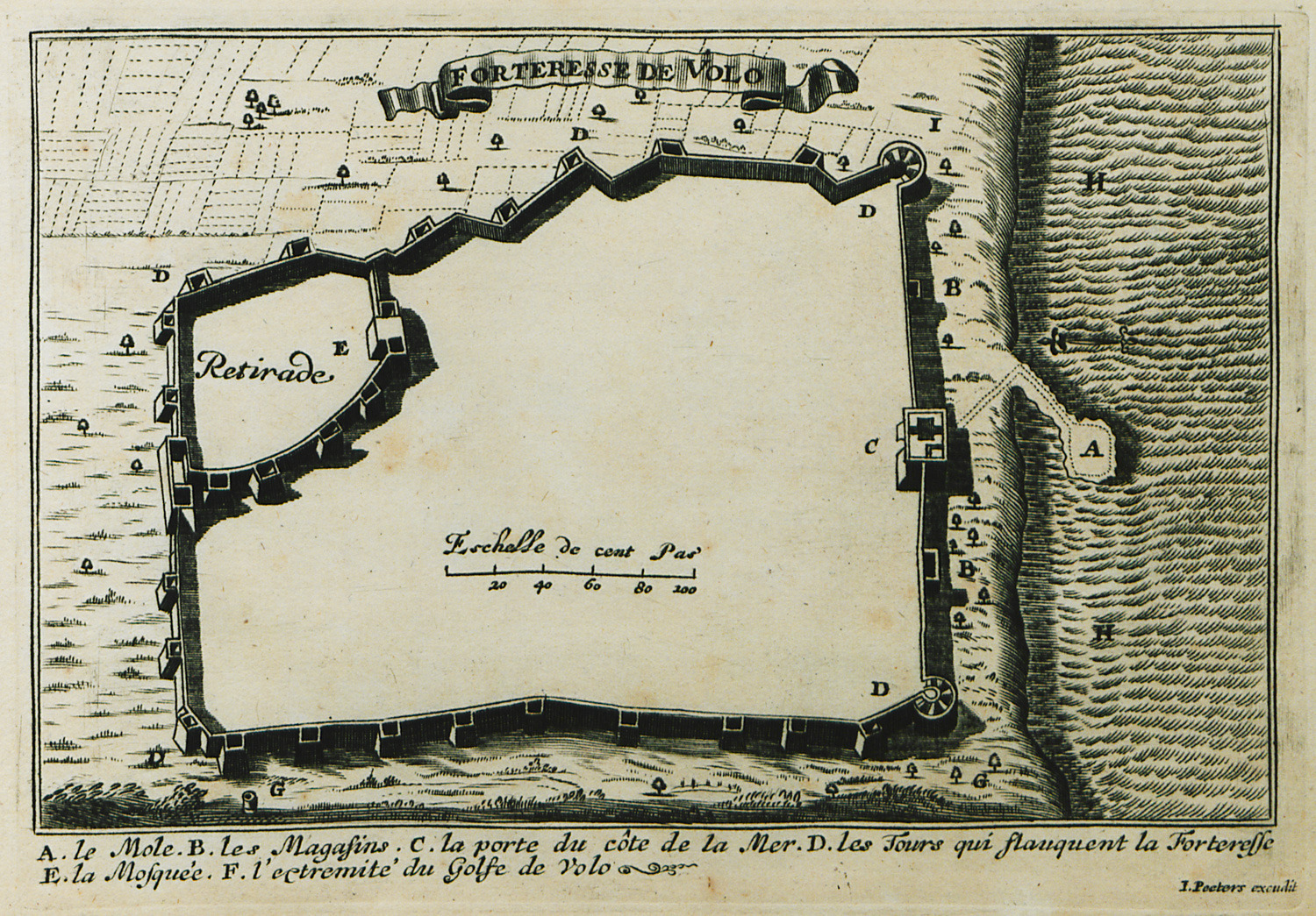
-
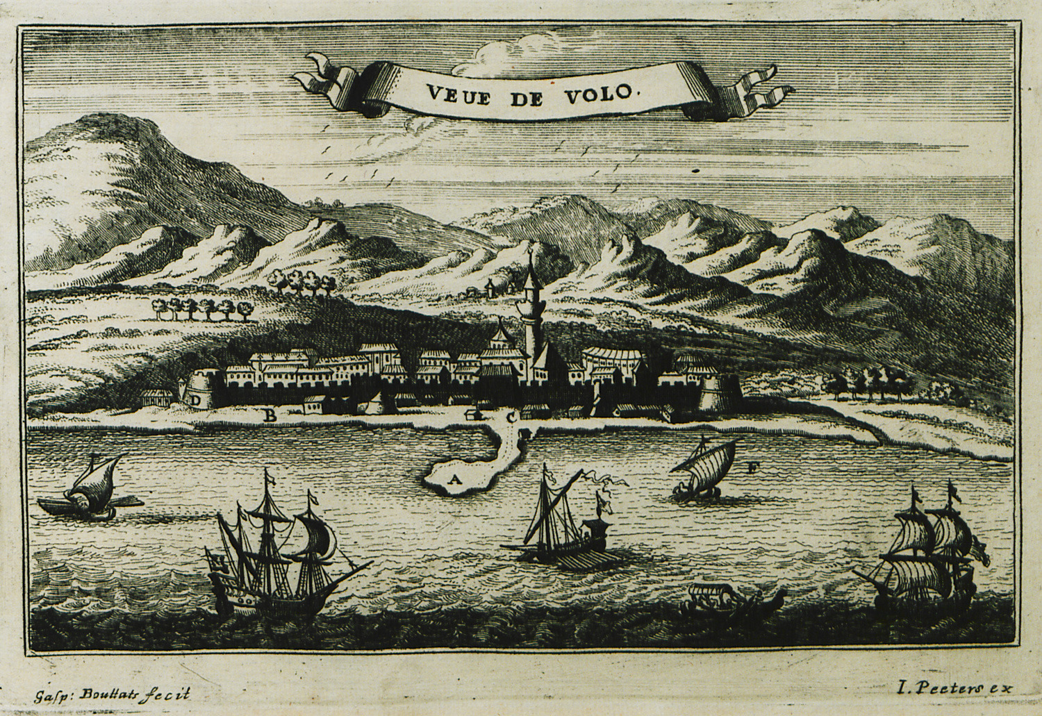
-
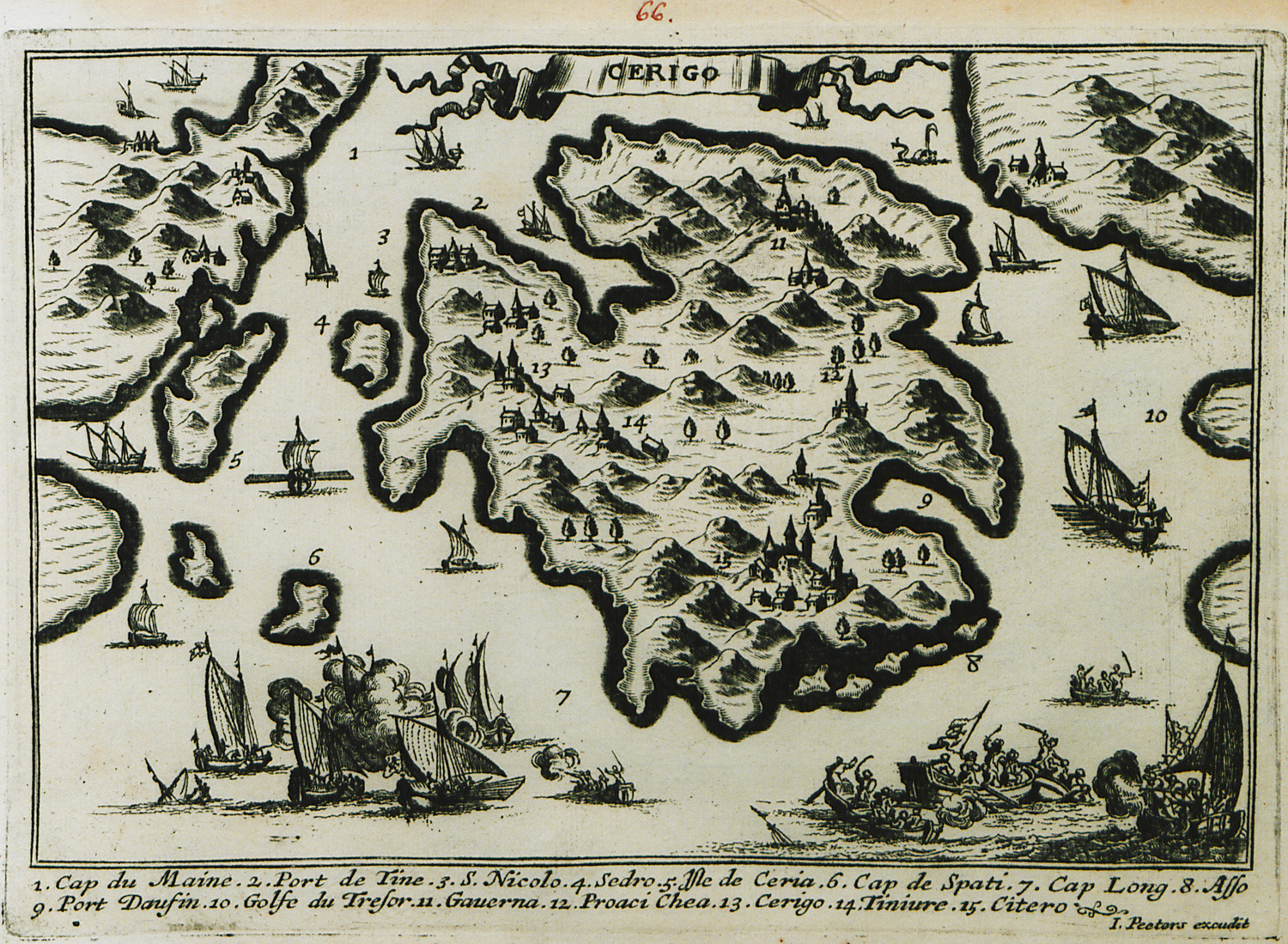
Map of Cythera with reference to the Sixth Venetian-Ottoman War.
-
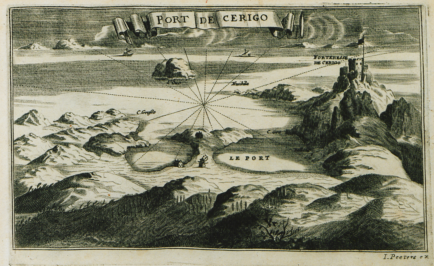
Map of the port of Cythera (Kapsali) with the Venetian fortress.
-
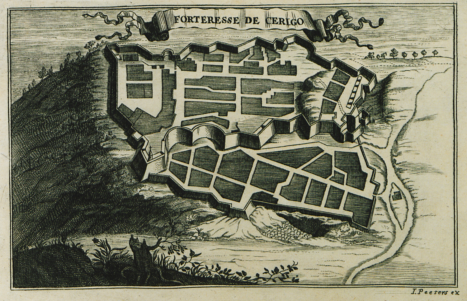
-
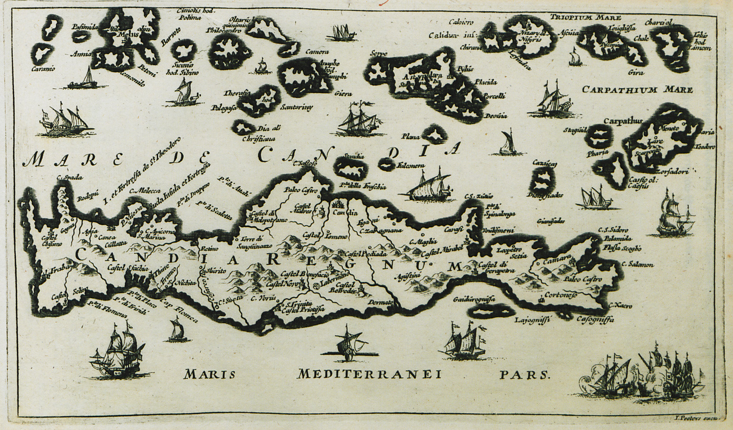
-
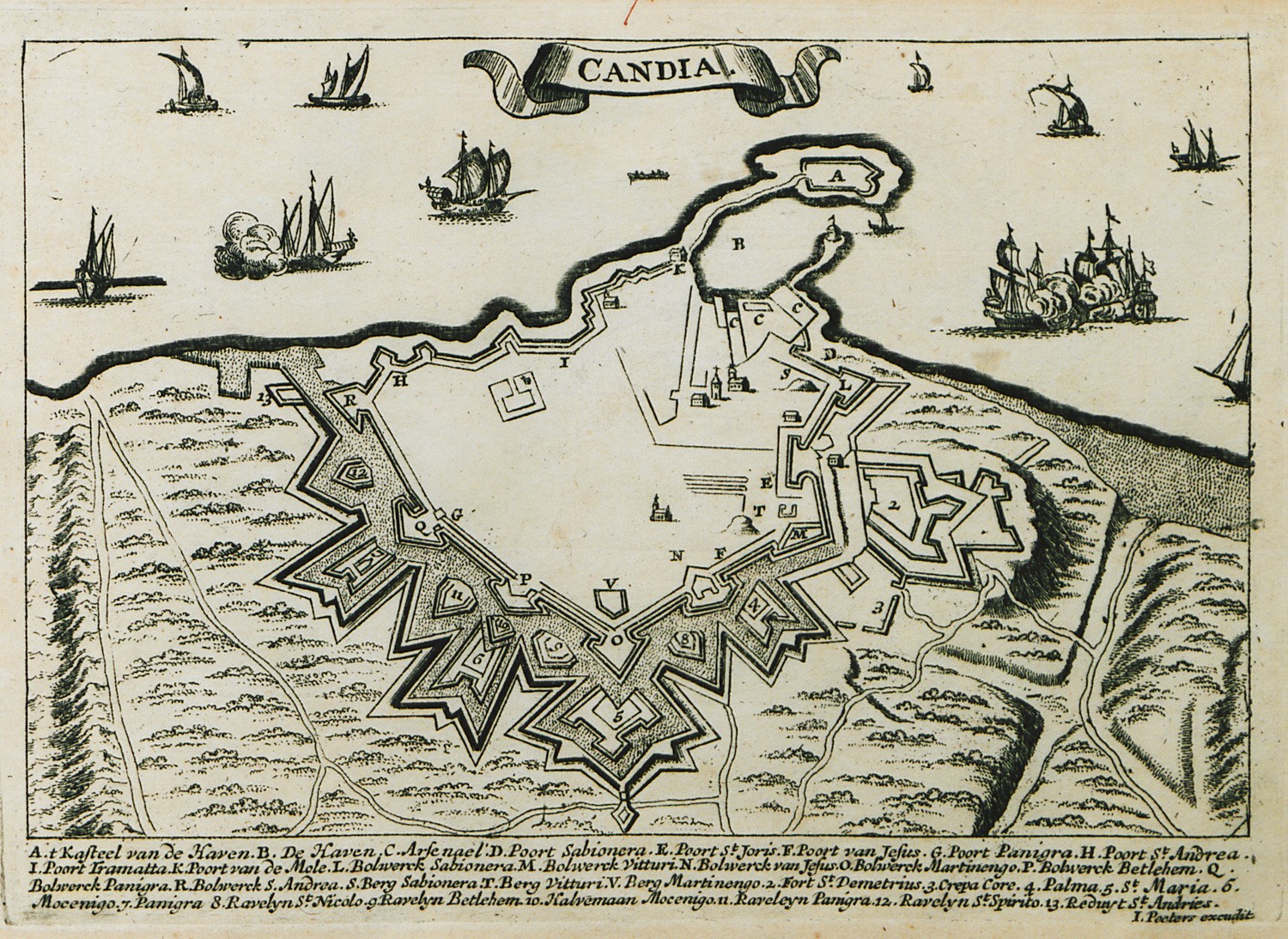
-
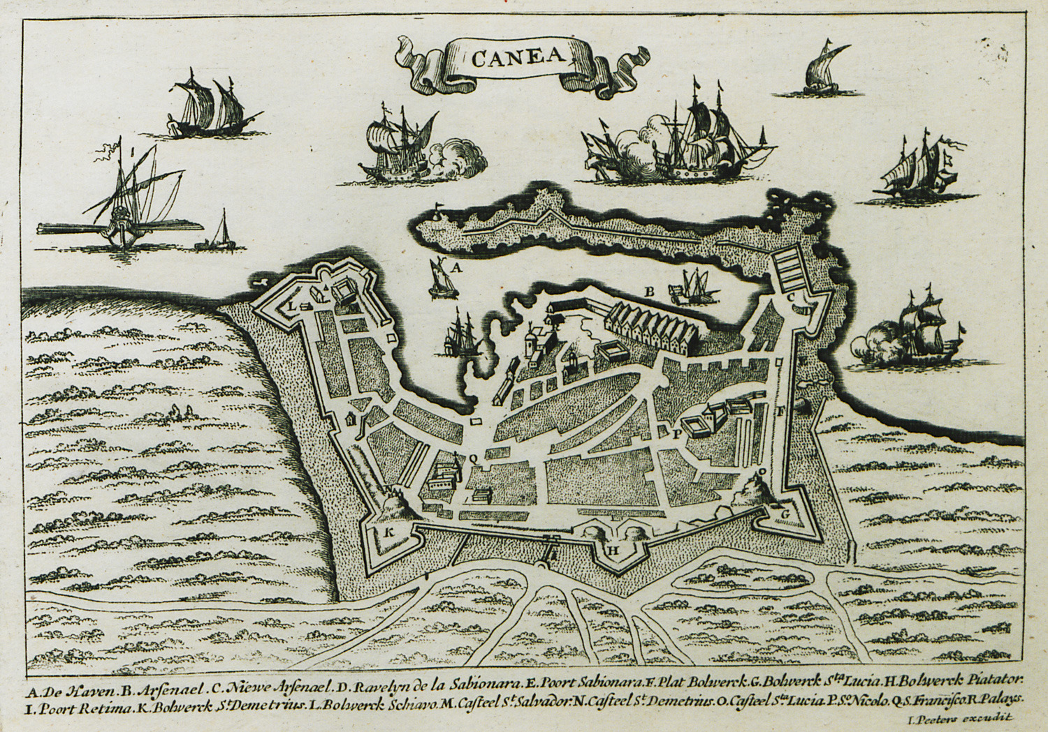
-
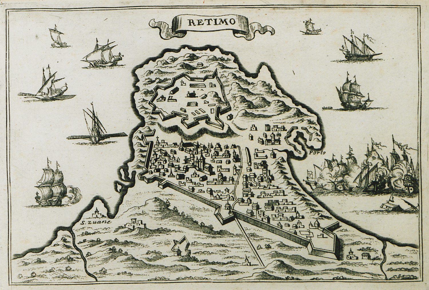
-
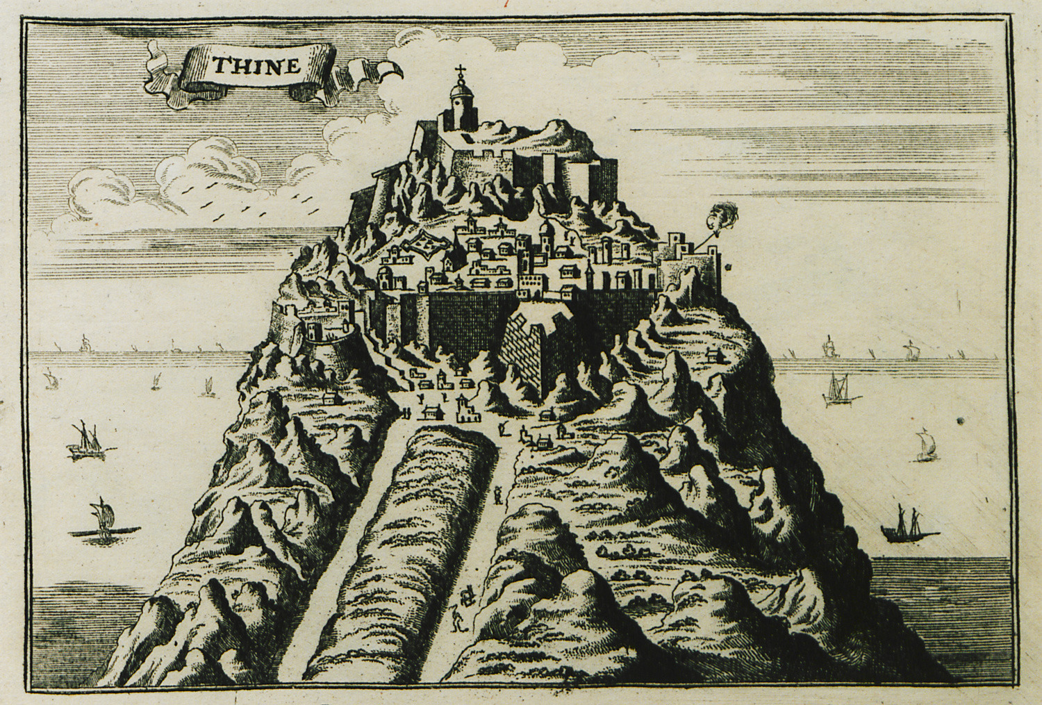
-
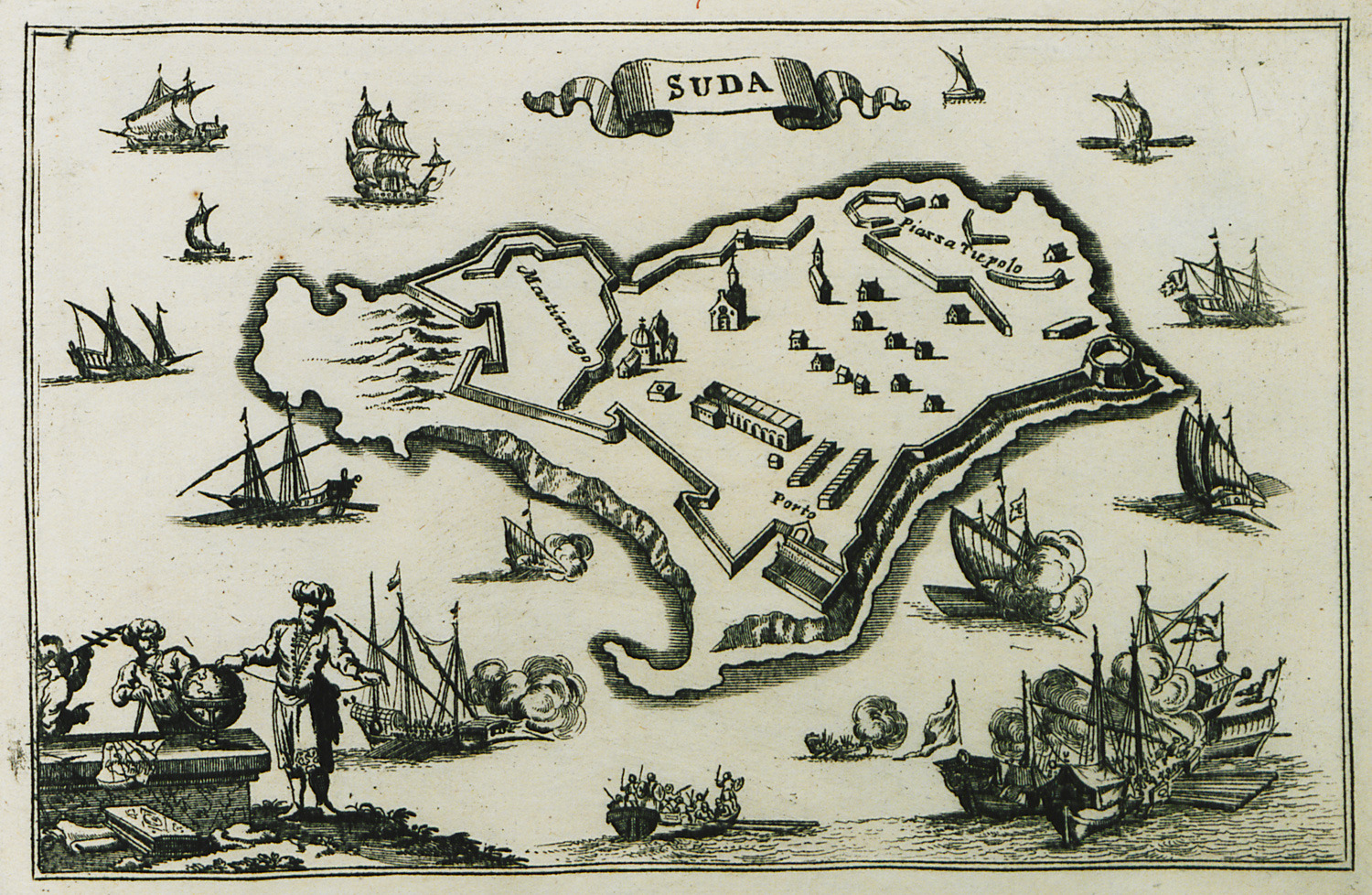
-
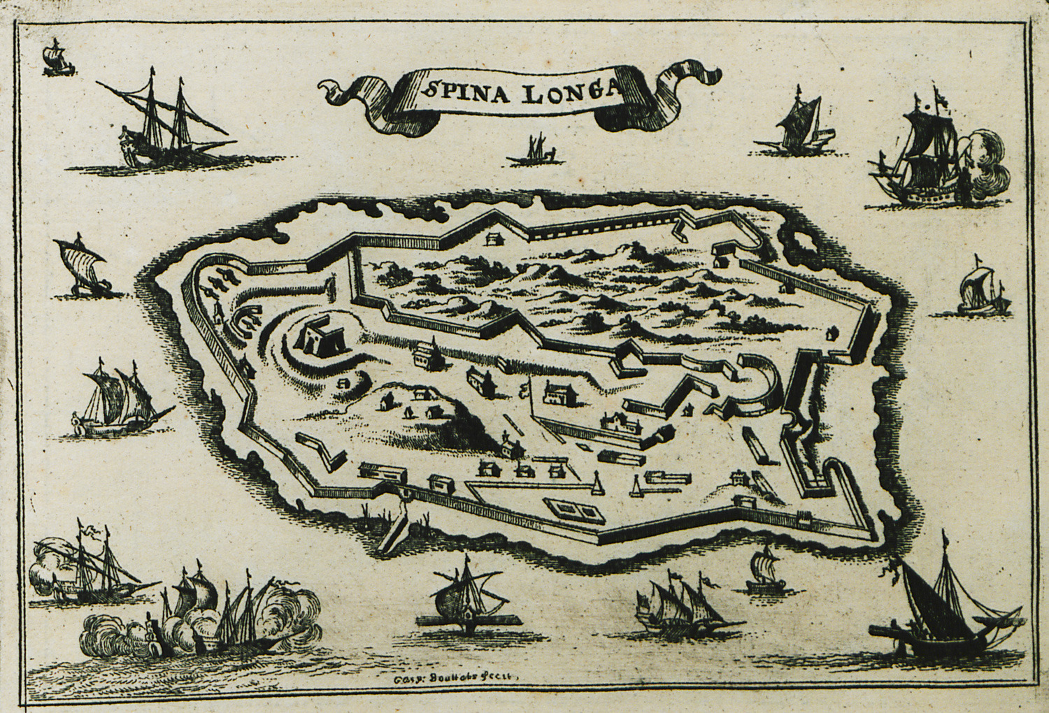
-
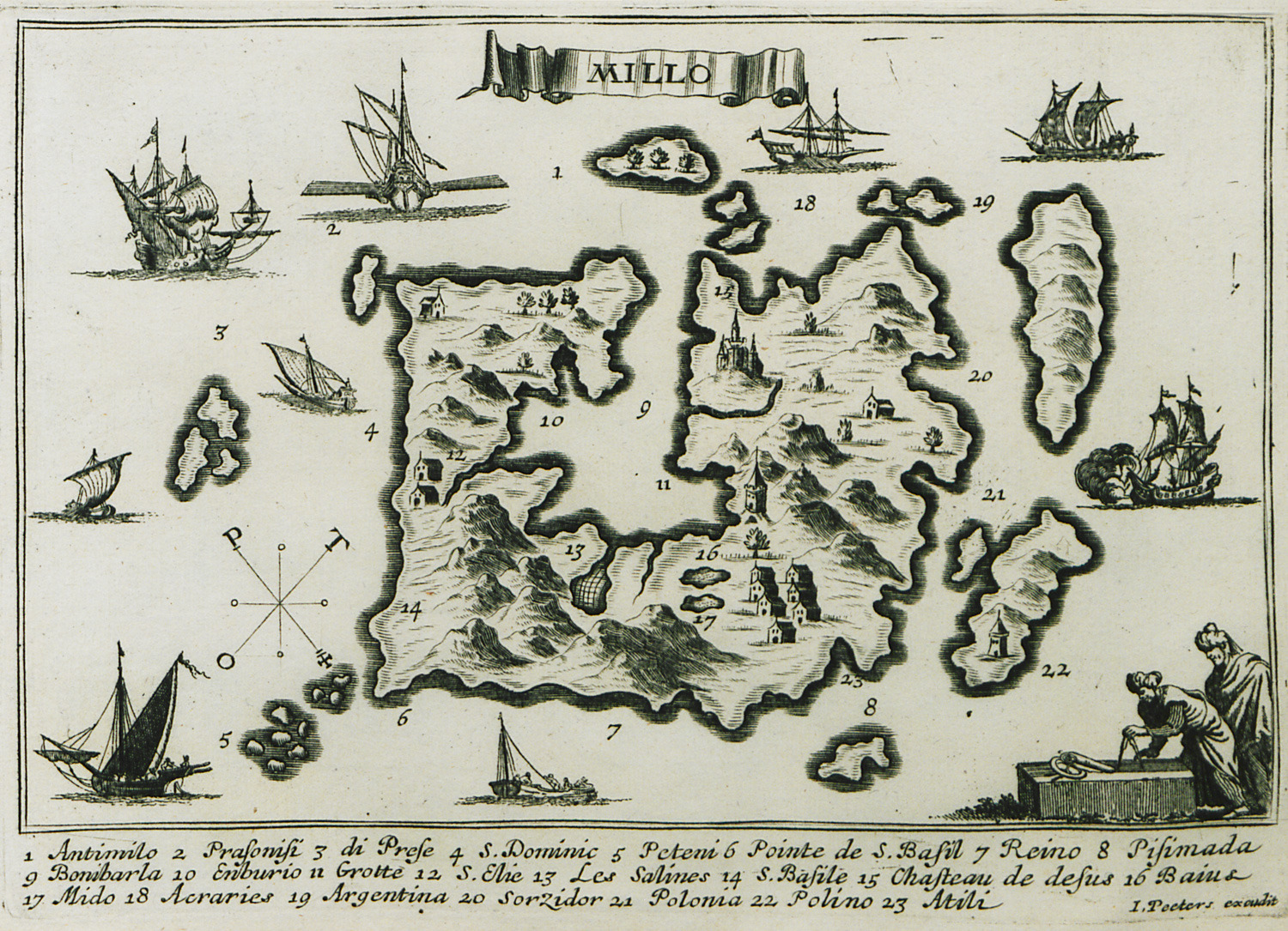
-
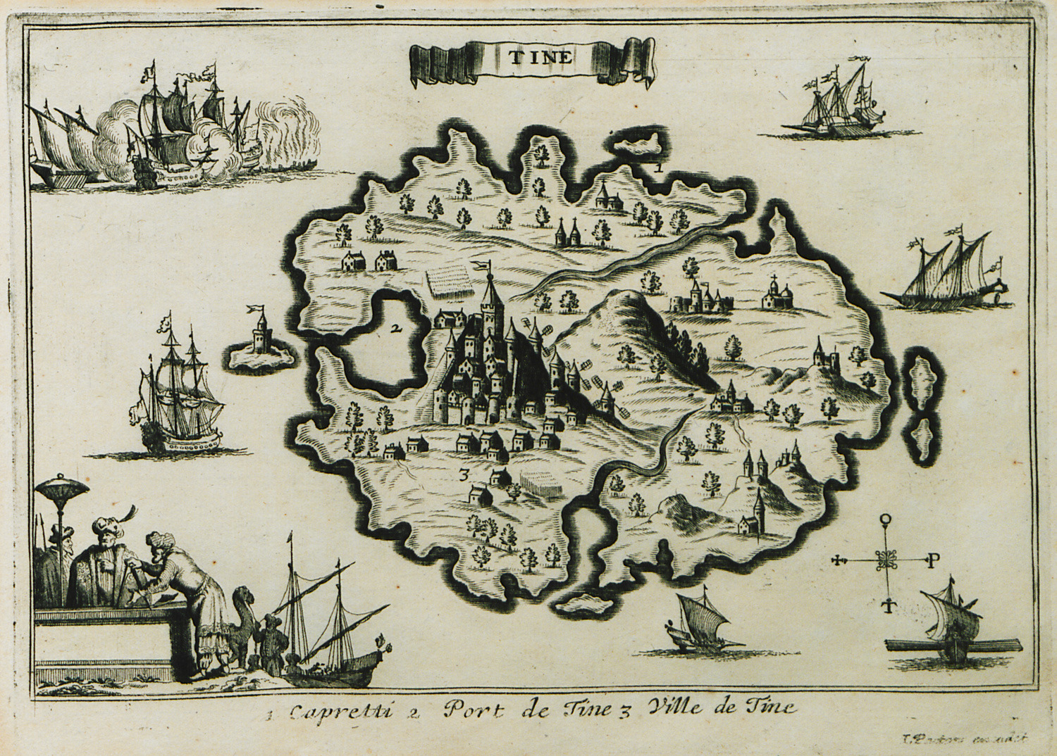
-
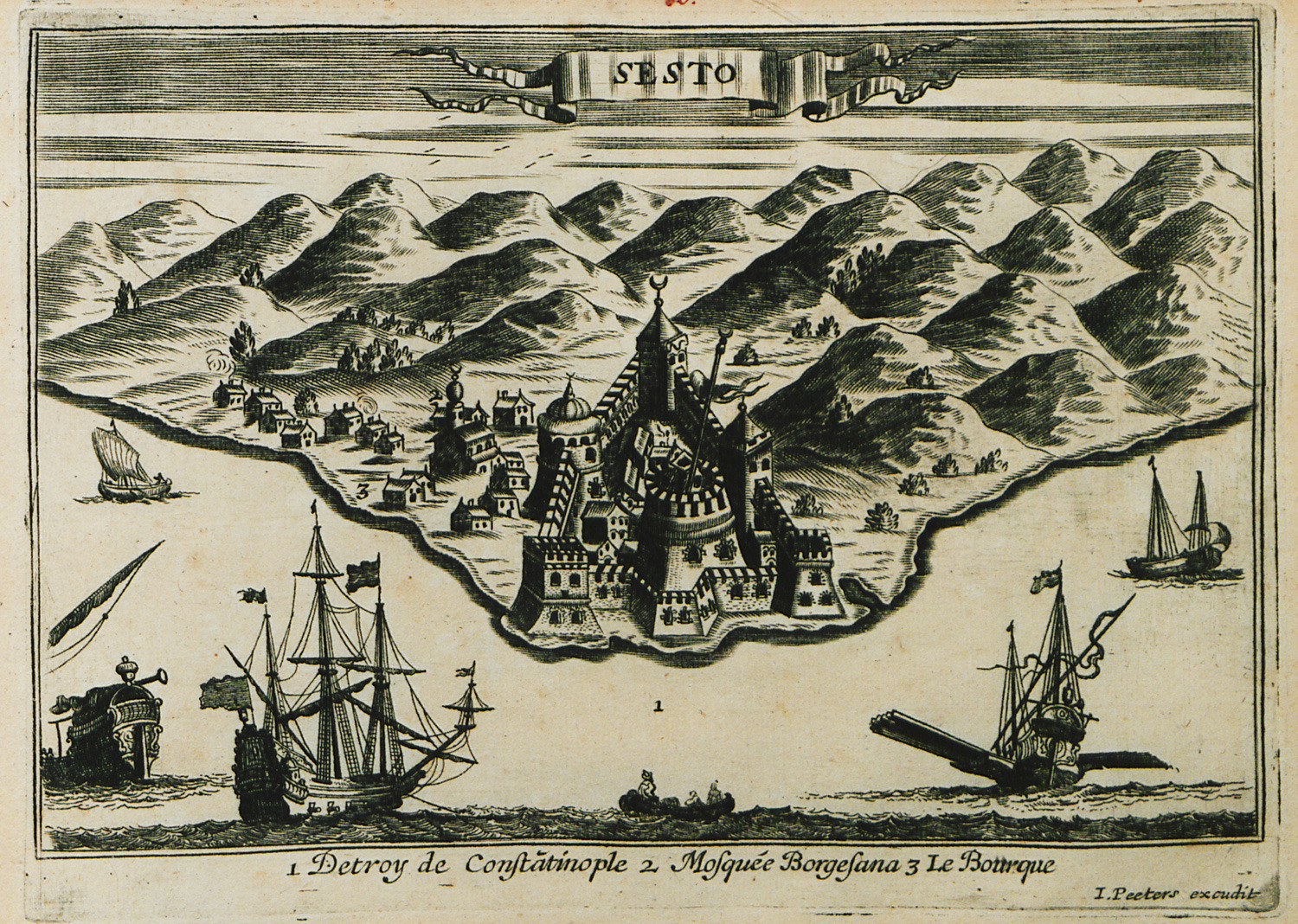
Vie of Kilitbahir castle on the European coast of the Hellespont.
-
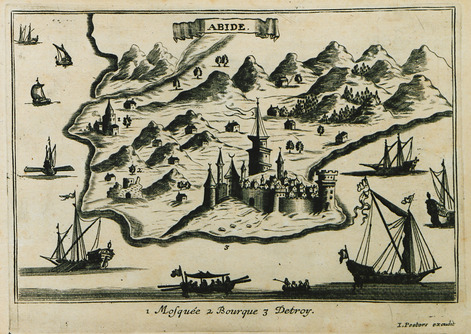
View of Sultaniye castle on the Asian coast of the Hellespont.
-
-
-
-
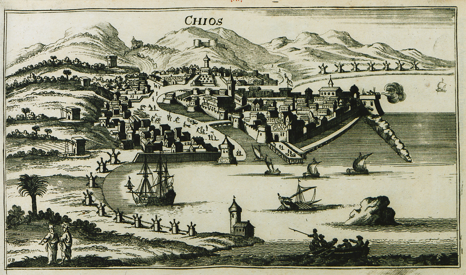
-
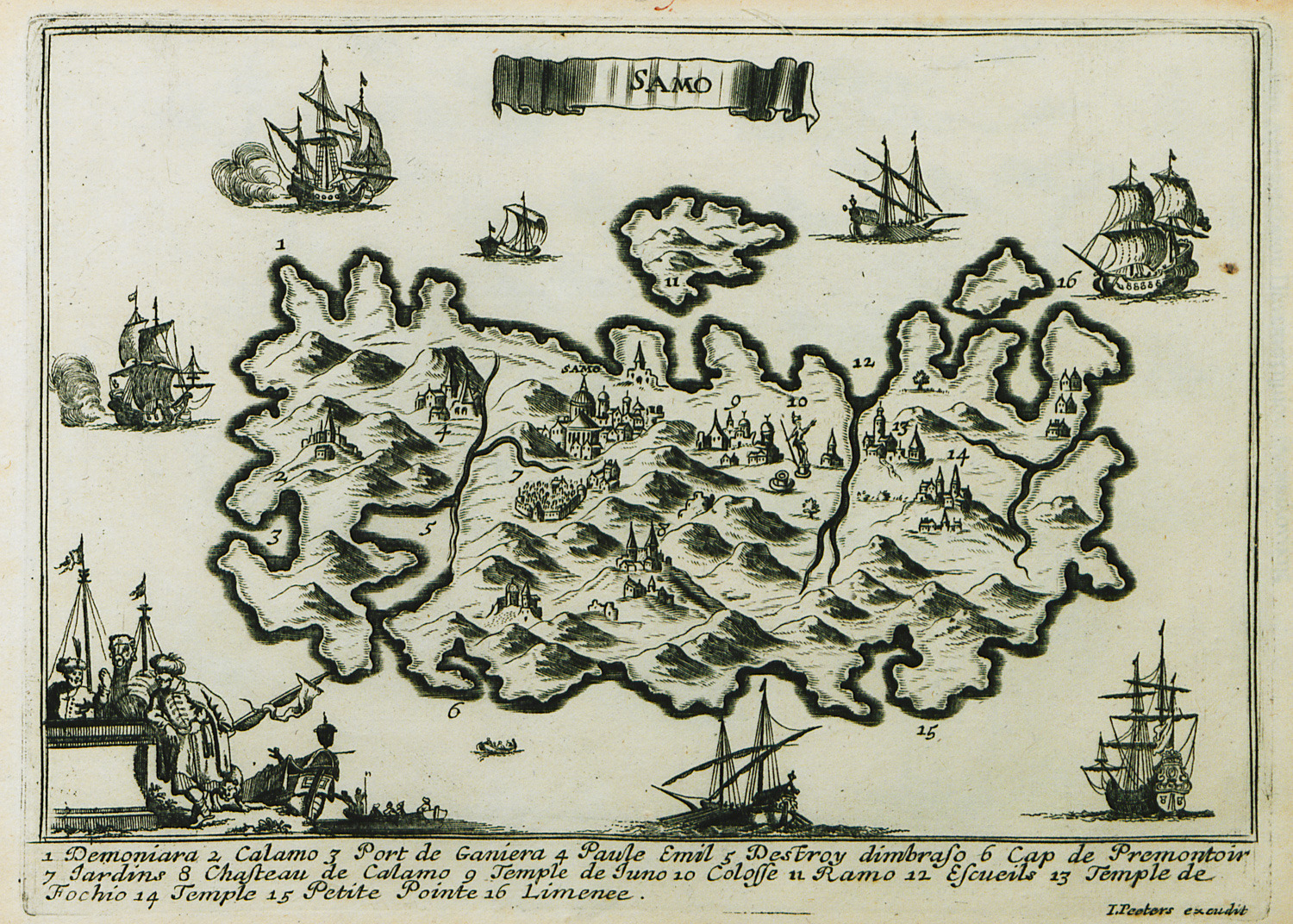
-
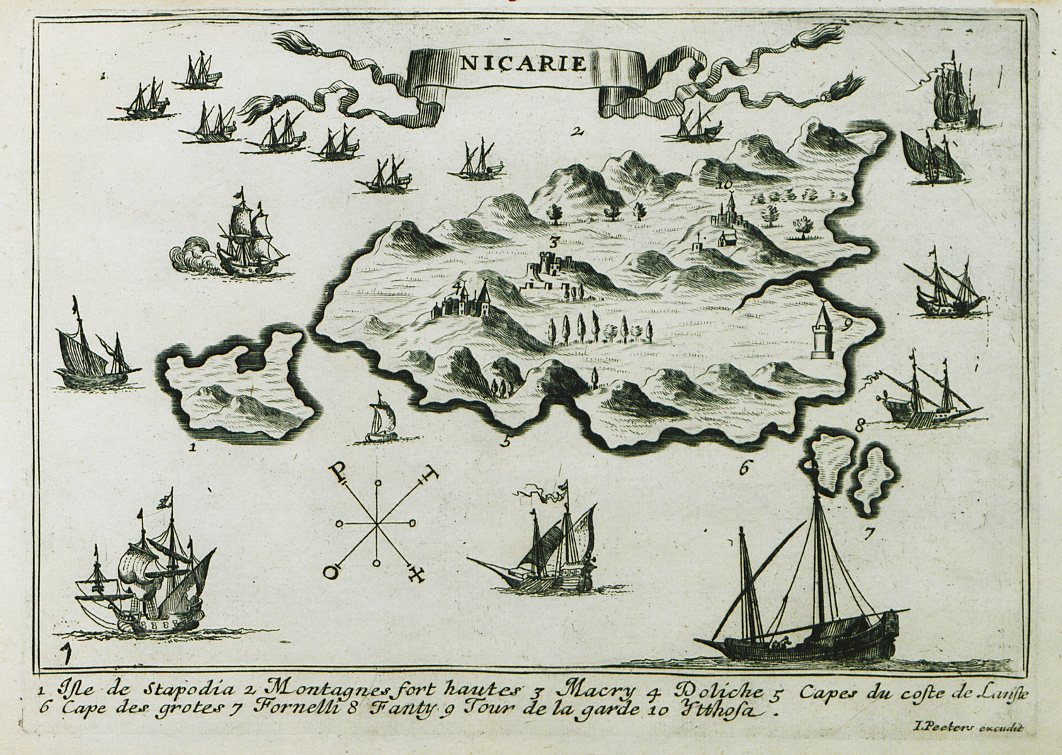
-
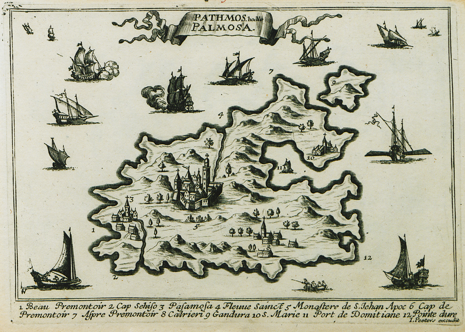
-
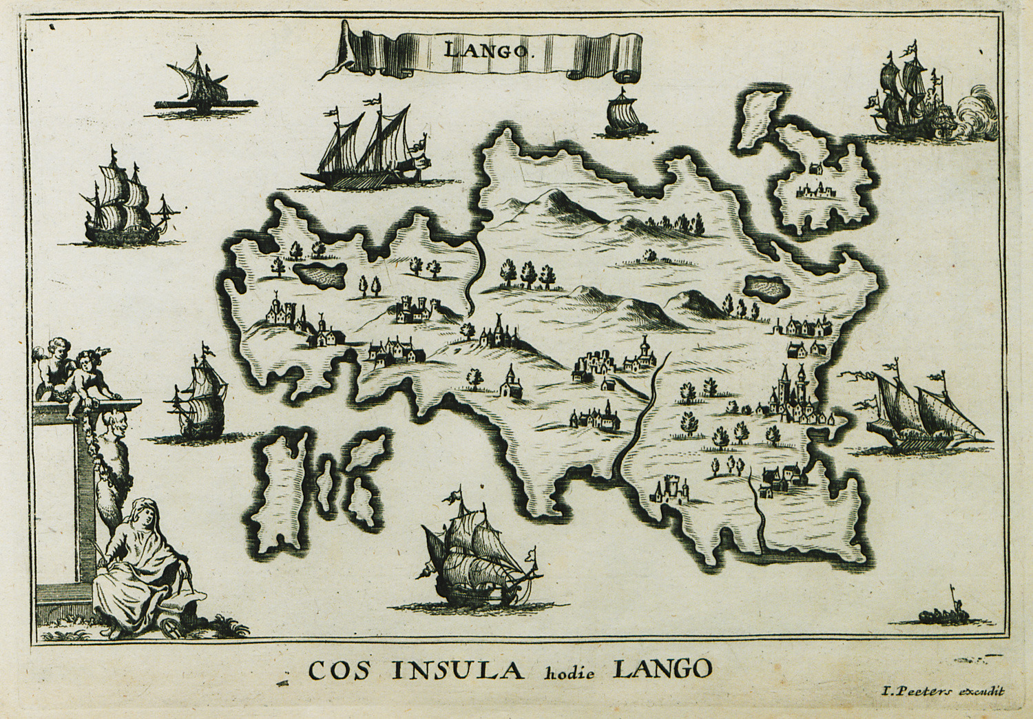
-
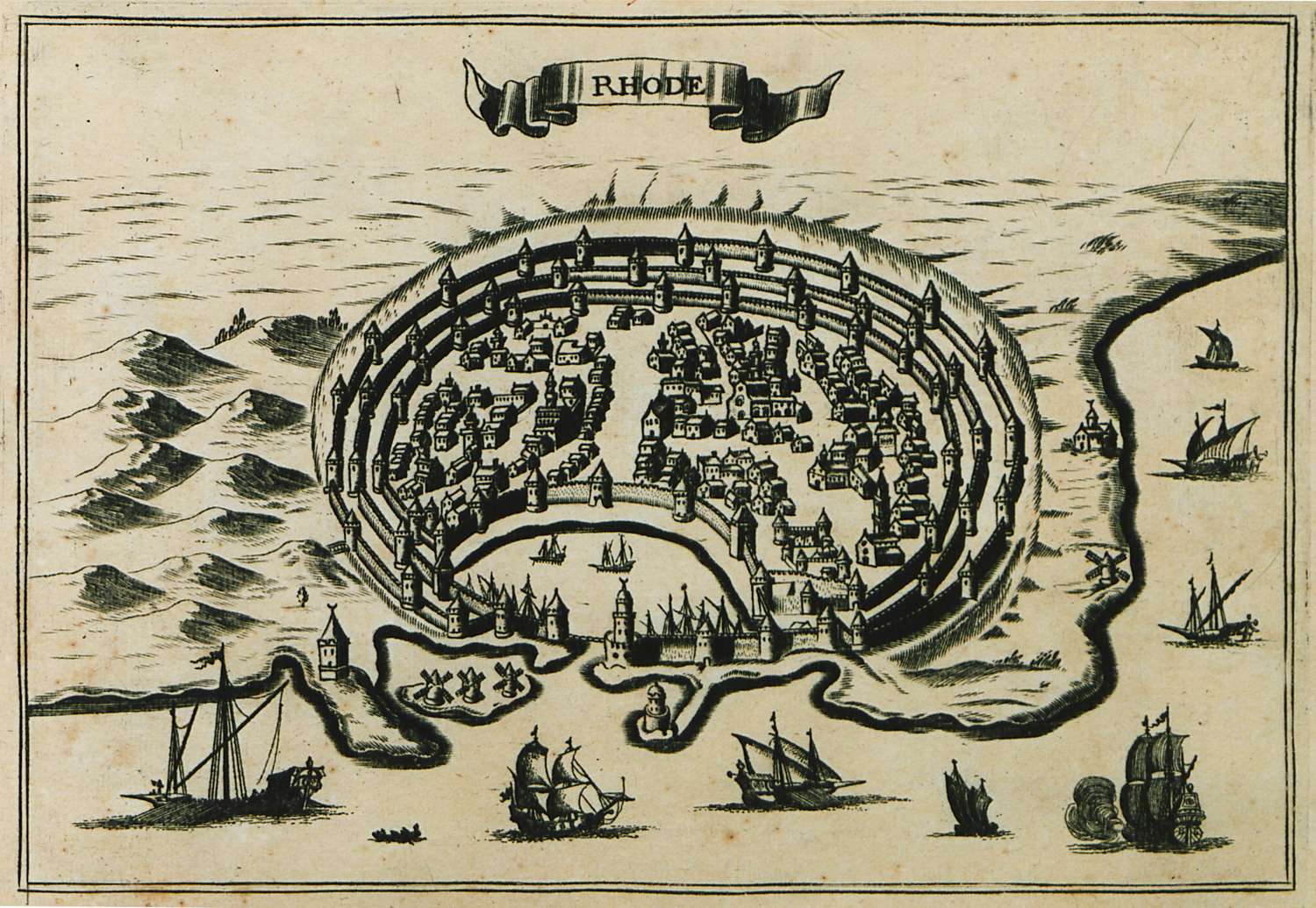
-
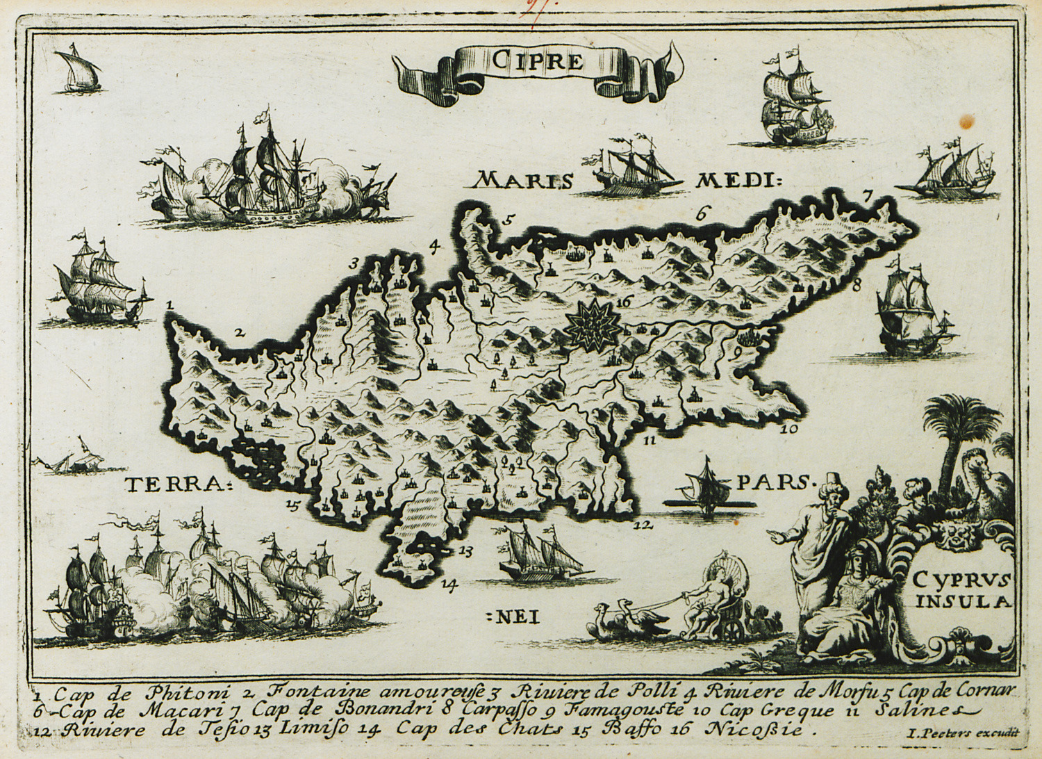
-
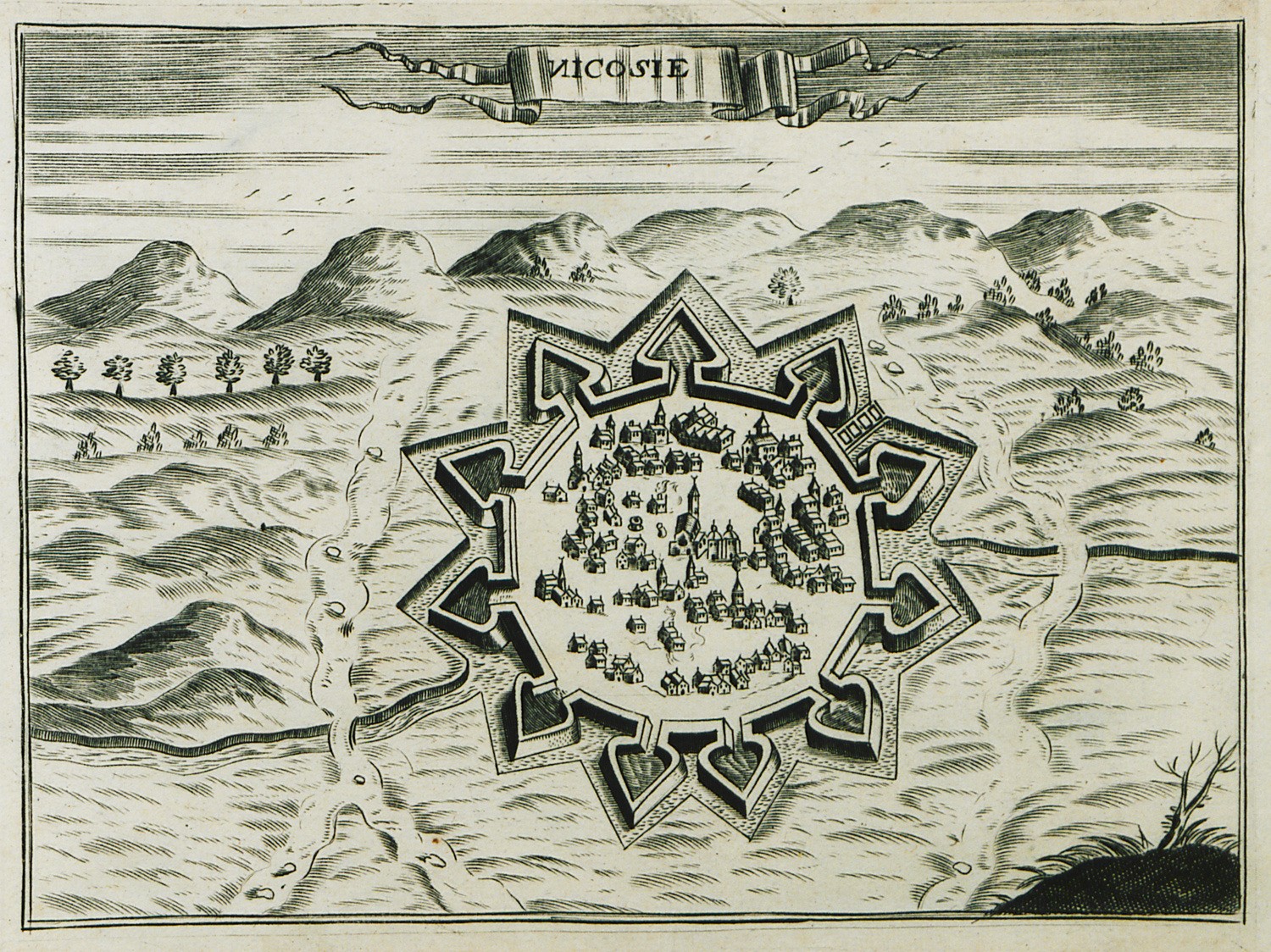
-
-
-
-
-
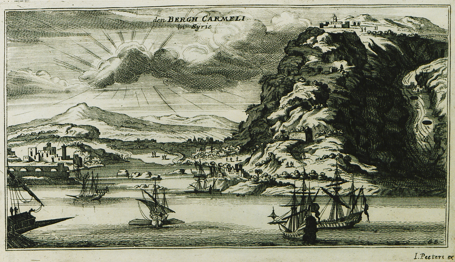
Mount Carmel with the cave of the Prophets and the monastery of Carmel on its summit.
-
-
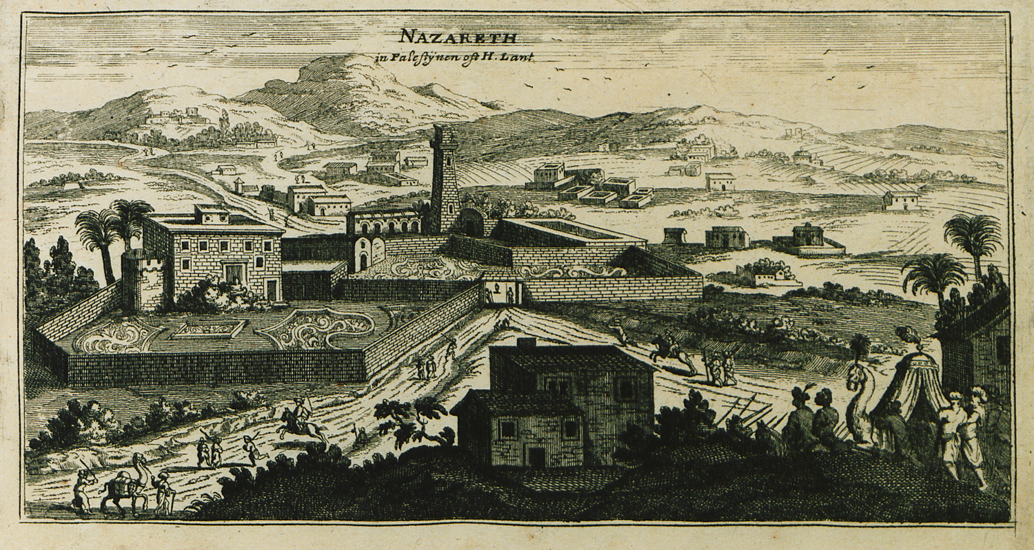
View of Nazareth with the Orthodox Basilica of the Annunciation.
-
-
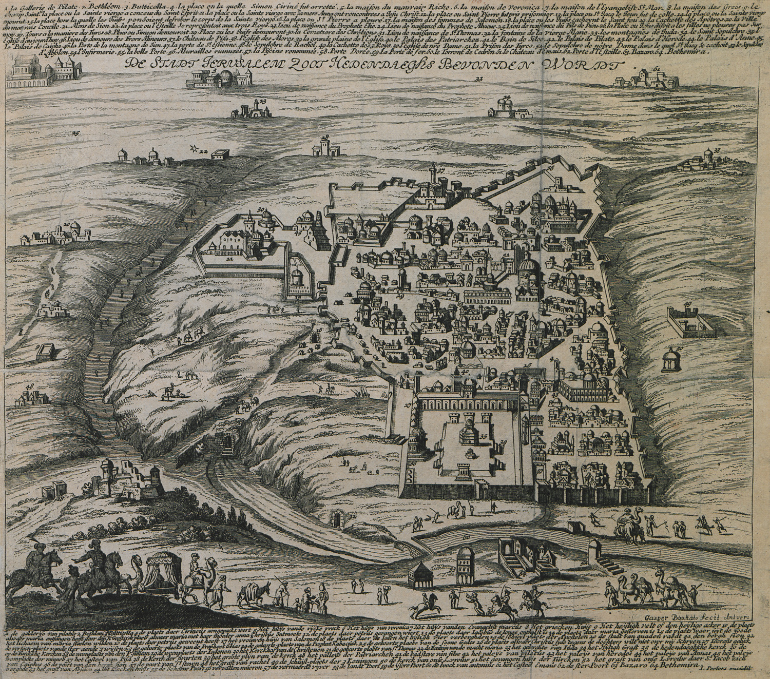
-
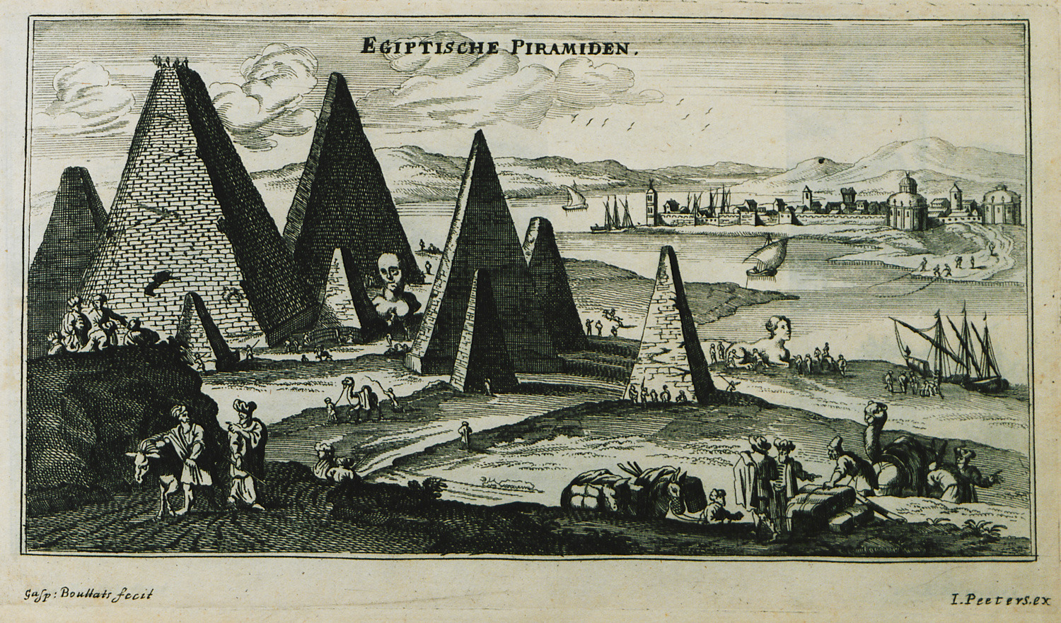
-
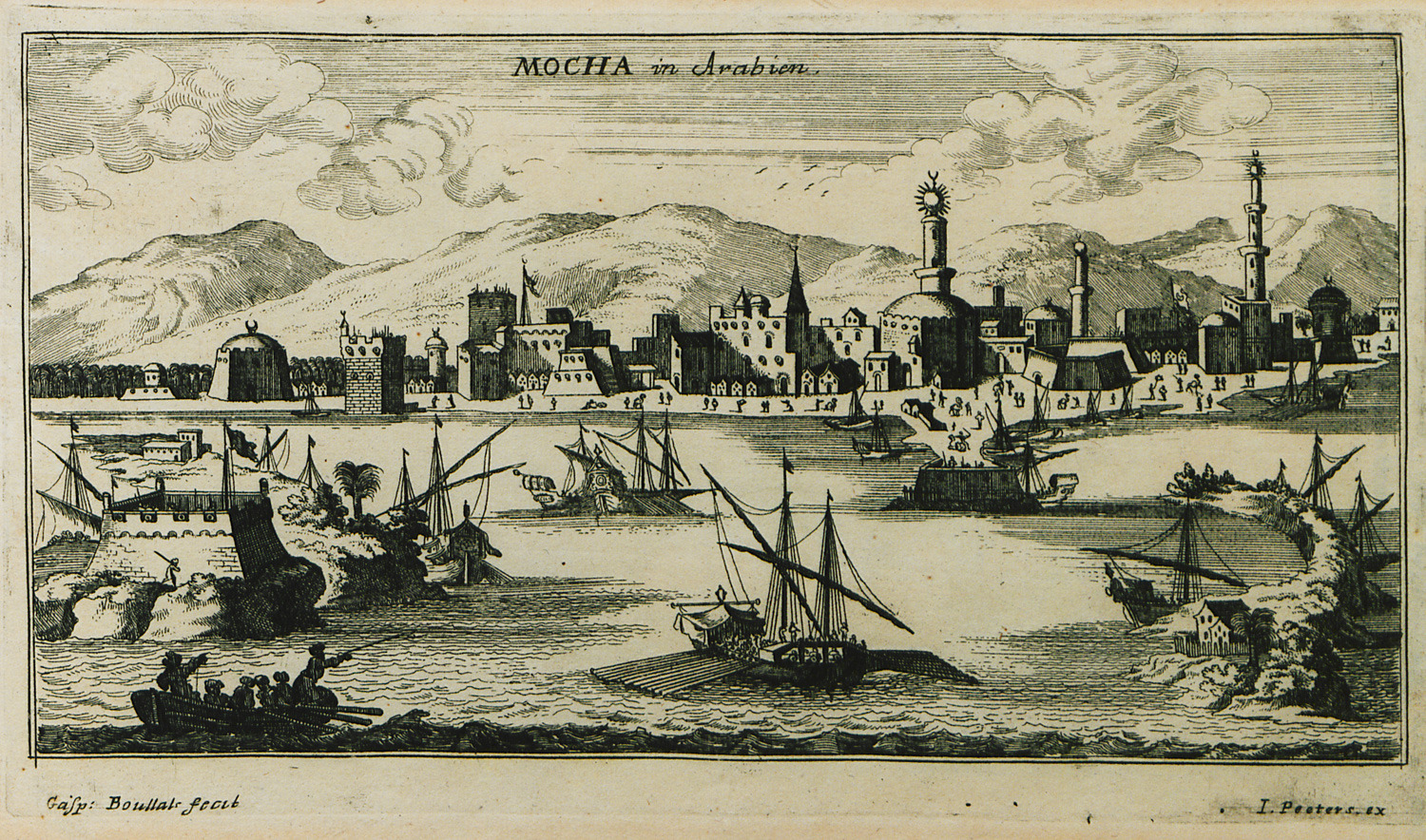
-
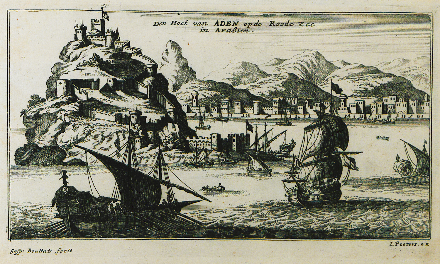
-
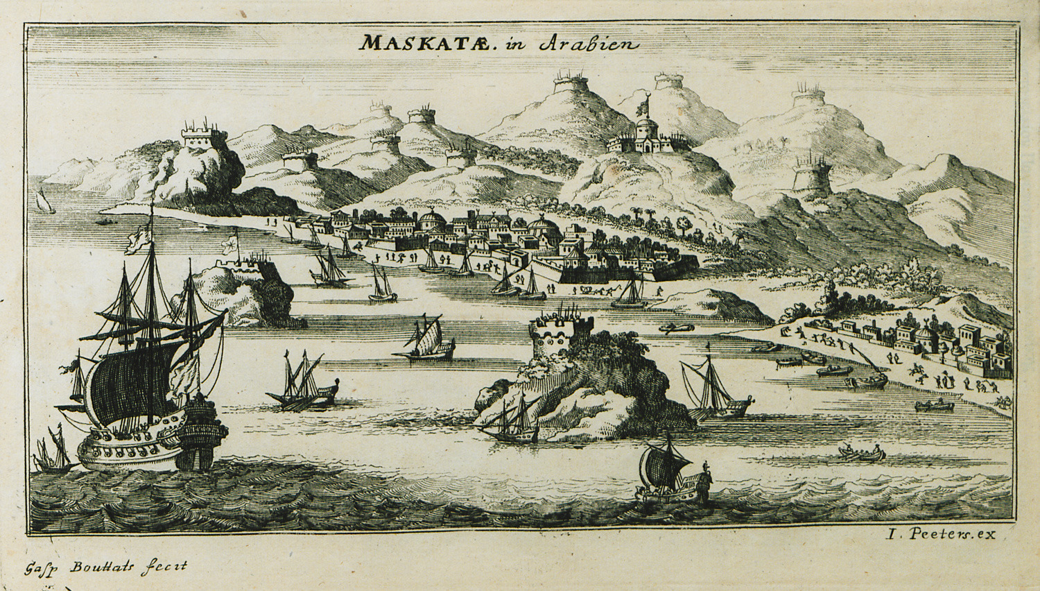
-
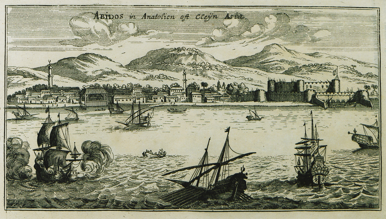
View of Abydos and Kilitbahir castle on the European coast of the Hellespont.
-
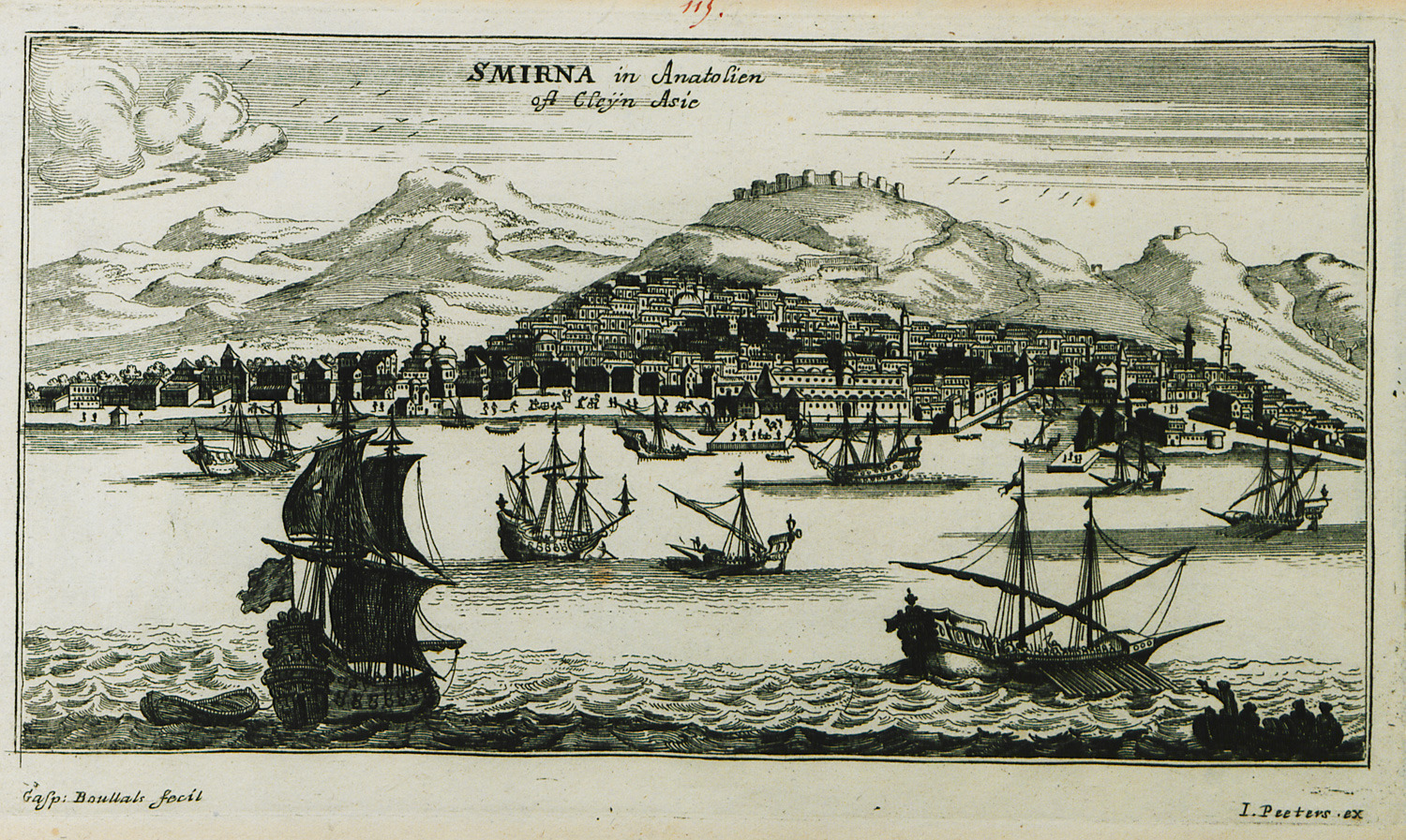
-
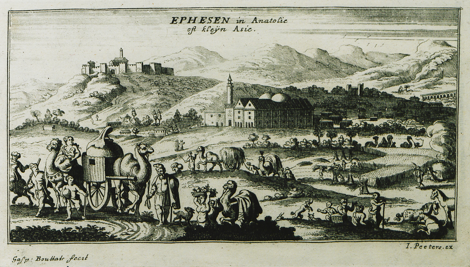
View of the village of Selçuk near ancient Ephesus. In the background, Selçuk (Ayasulluk) castle.
-
-
-
-
-
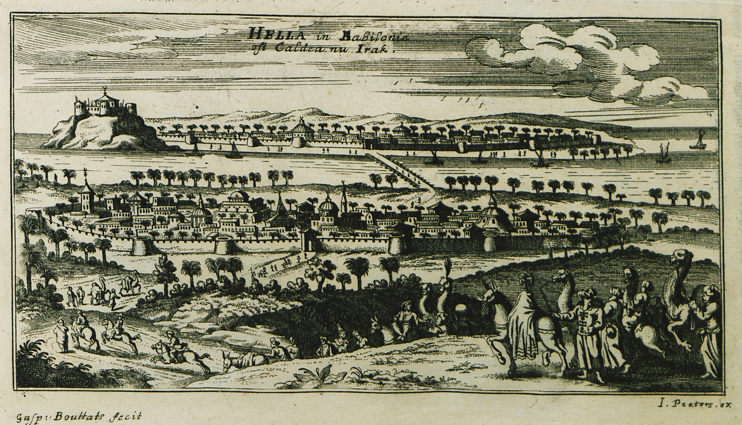
-
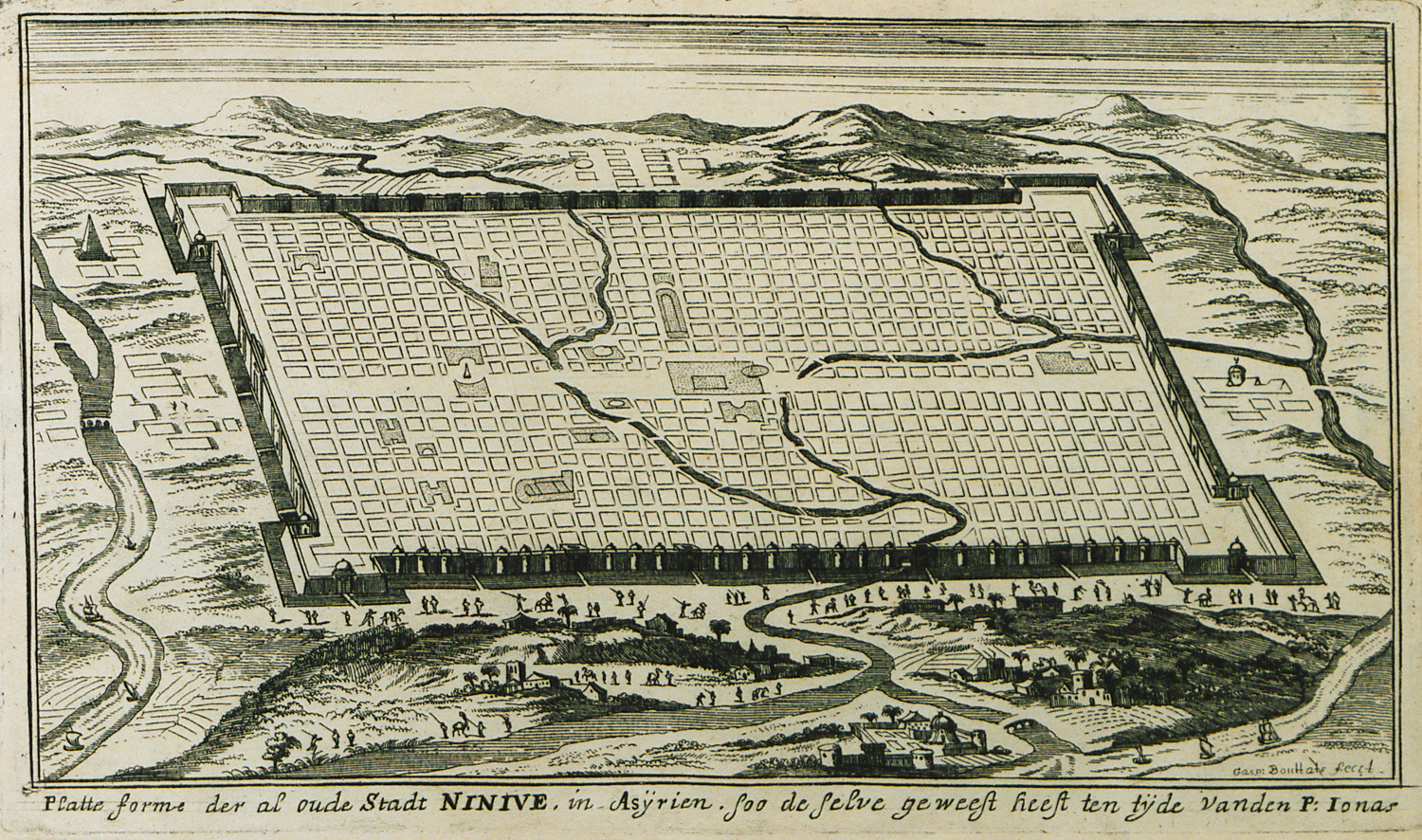
View of the walls of Nineveh at the ancient region of Assyria (today Irak).
-
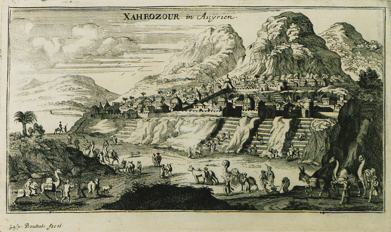
View of city in ancient Mesopotamia, possibly at Sahrizor plain.
-
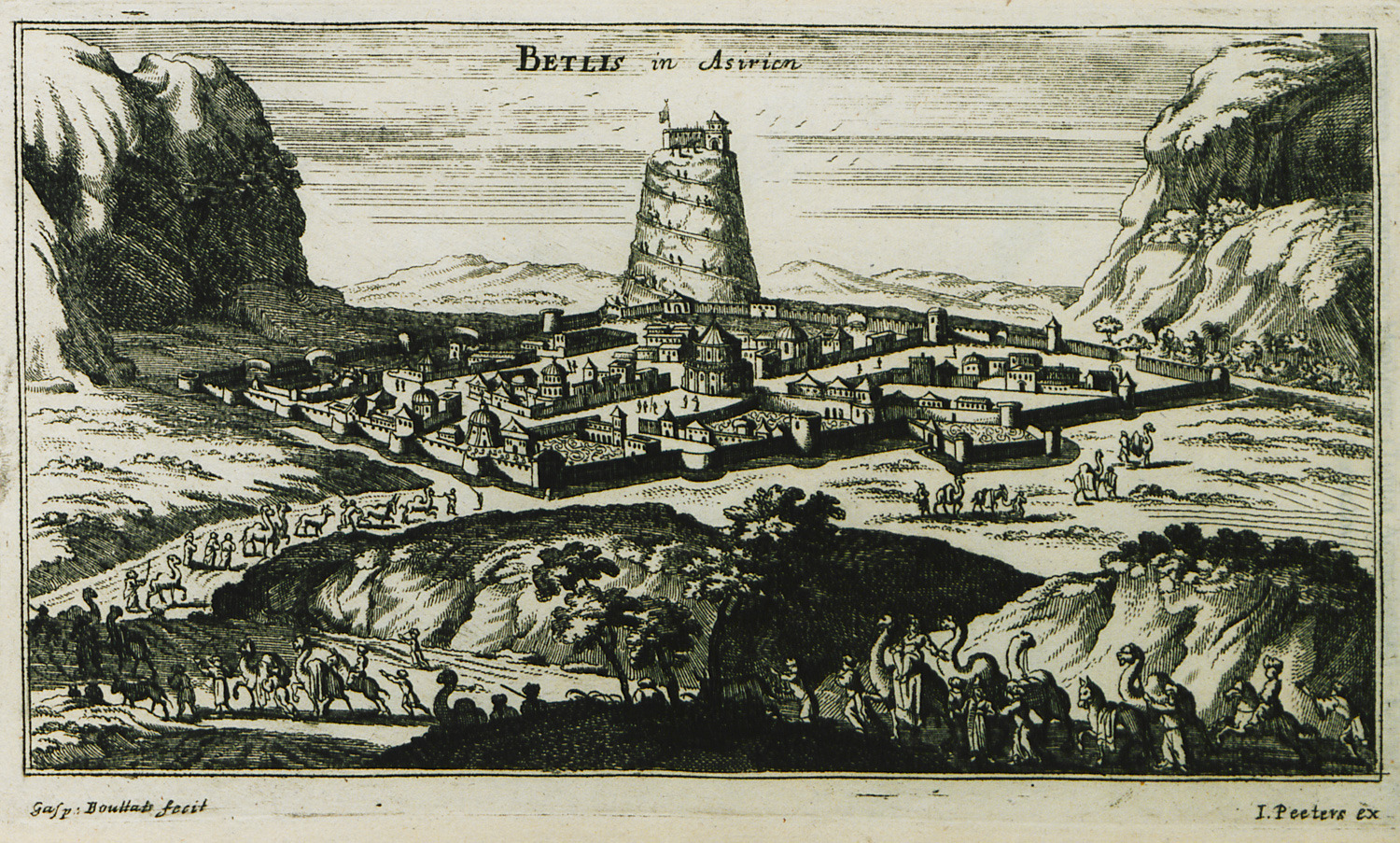
View of city in northern Mesopotamia, possibly Bitlis in eastern Turkey.
-
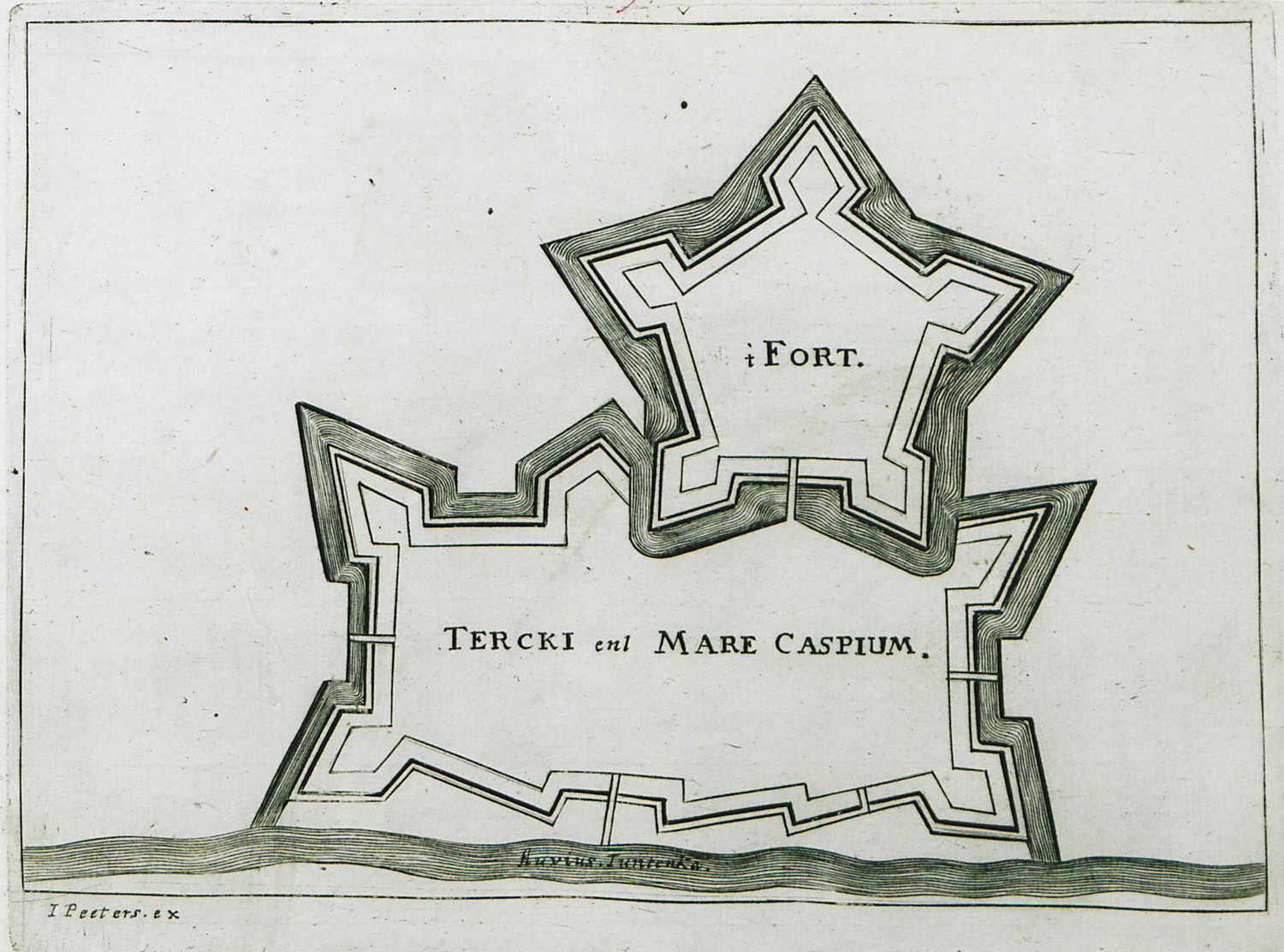
-
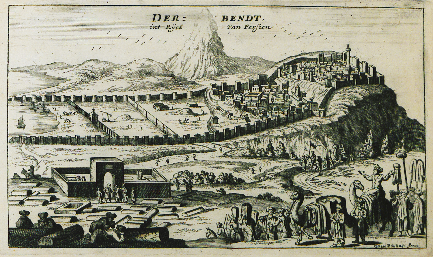
View of the city and castle of Derbent, also known as Caspian Gates, Russia.
-
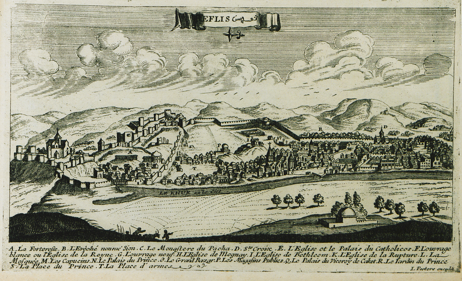
View of Tbilisi (Tiflis), Georgia. On the left, Narikala castle.
-
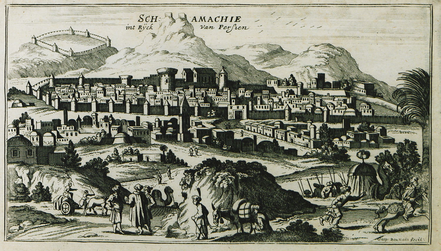
-
-
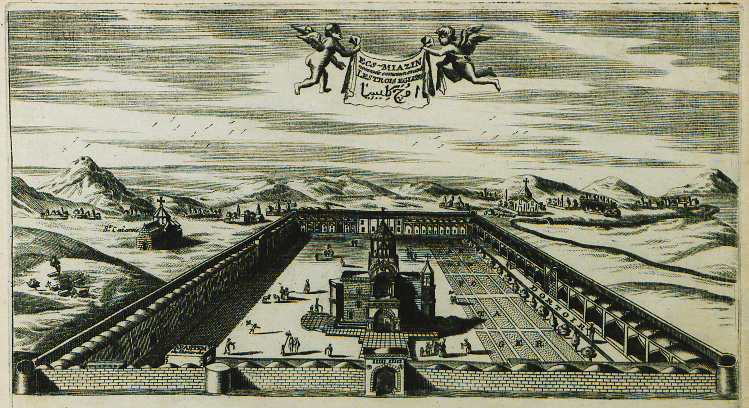
The cathedral of Etchmiadzin (4th century) at Vagharshapat, Armenia.
-
-
-
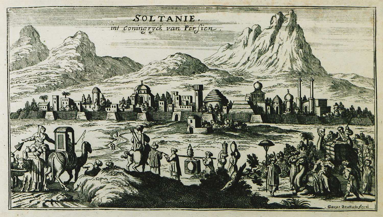
-
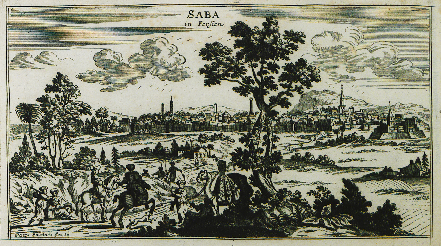
-
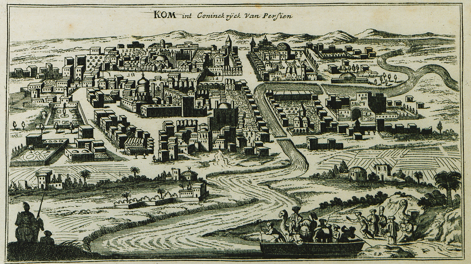
-
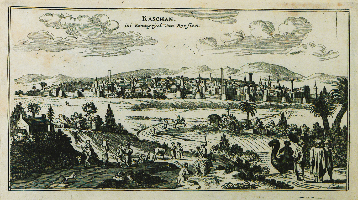
-
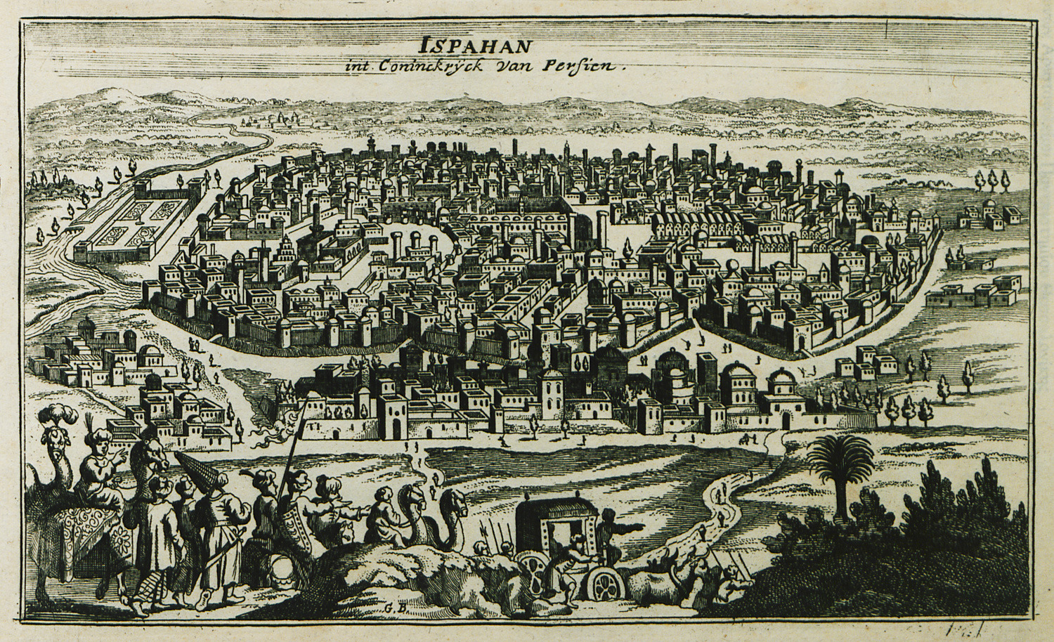
-
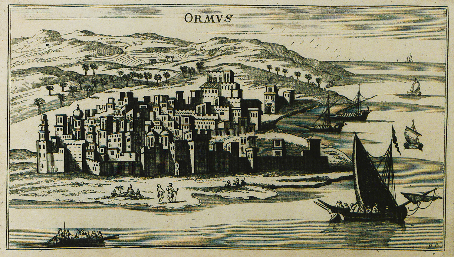
-
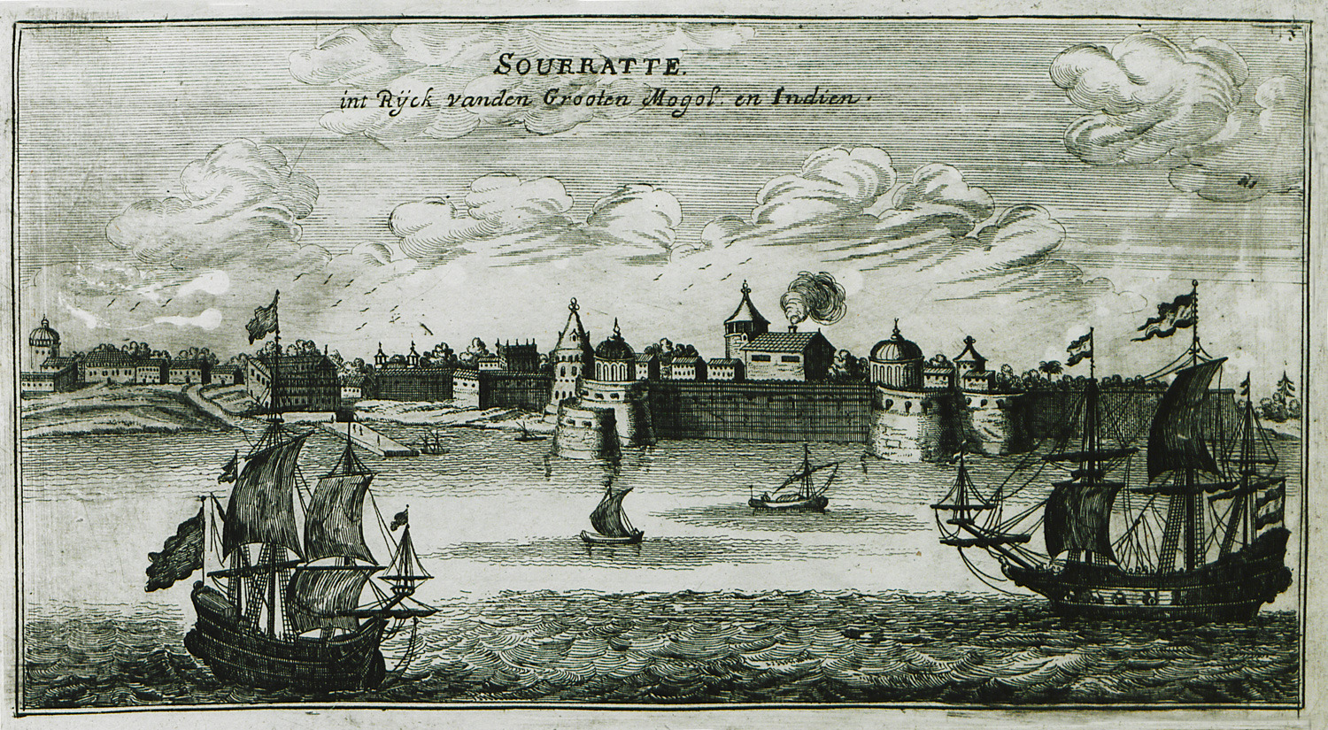
-
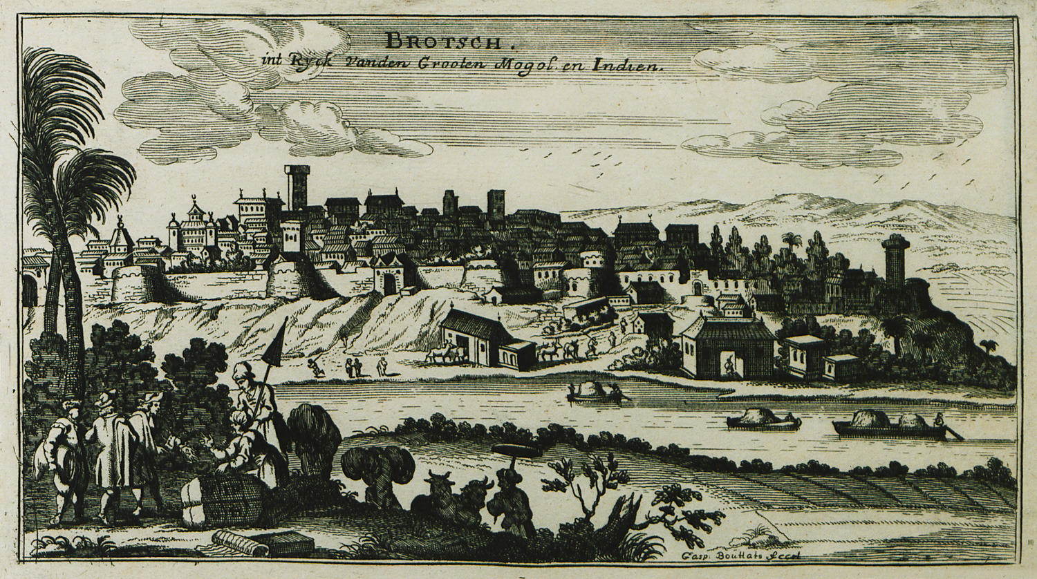
-
-
-
