Adriatic sea (75 Subjects)
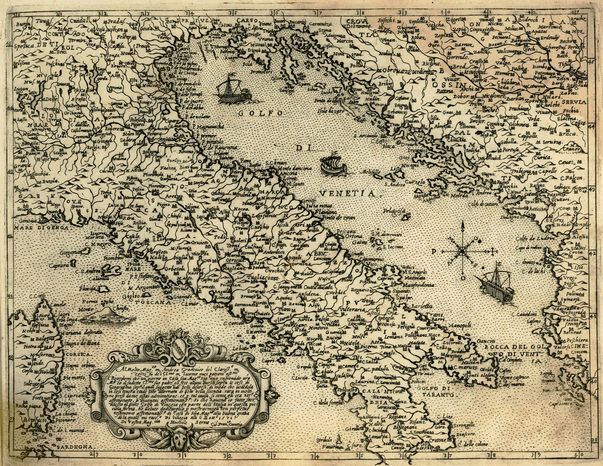
Map of Italy and the eastern coast of the Adriatic Sea.
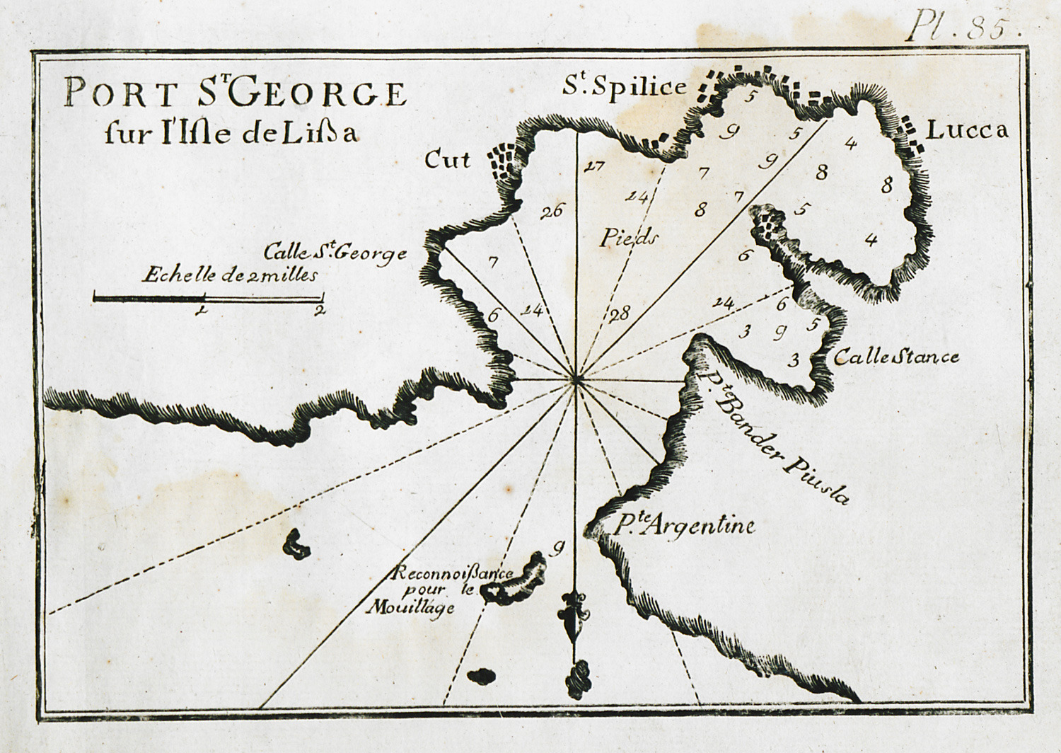
Map of the port of Vis (Lissa in Italian) on Vis island near Split, Croatia.
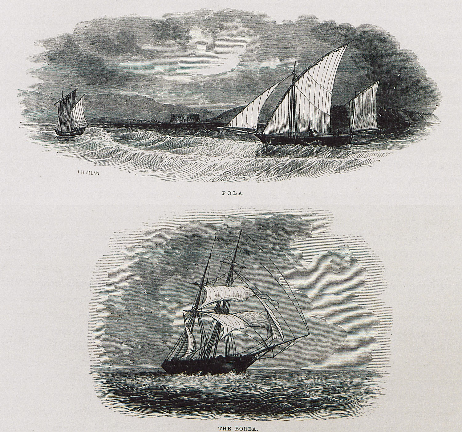
Fig. 1. View of Pula in Croatia. Fig. 2. Iris, the ship in which the author travelled from Malta to the Gulf of Trieste, Italy.
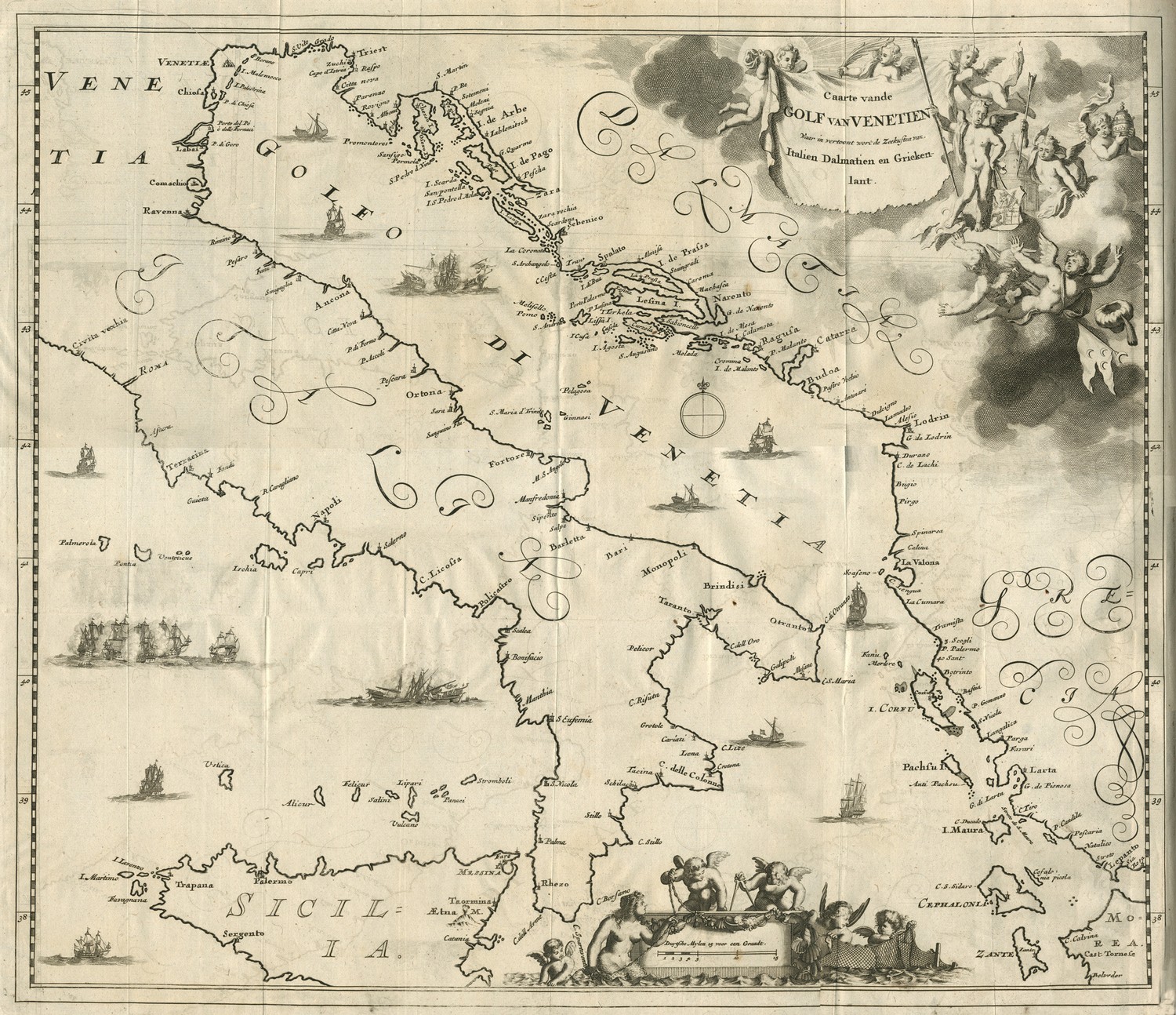
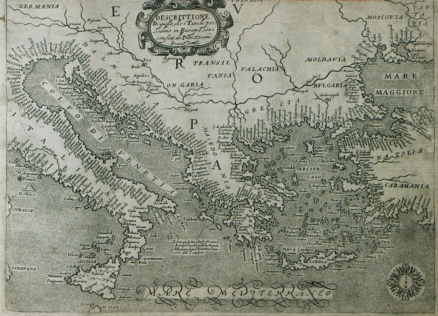
Map of the Adriatic Sea, with the shores of Italy, Dalmatia and Greece, and reference to the victories of Venice during the sixth Ottoman-Venetian War.
Map of Italy and the eastern Mediterranean.
Island off the coast of Istria, probably Sveti Nikola island outside Porec.
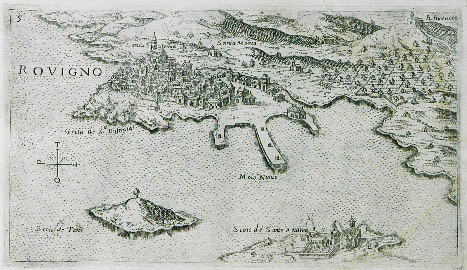
Map of Rovinj on Istria peninsula.
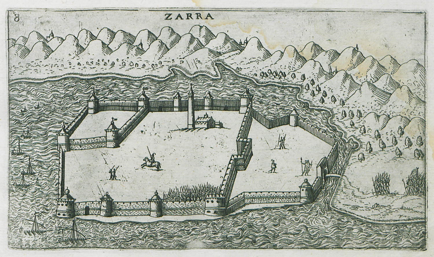
Map of Zadar in Croatia.
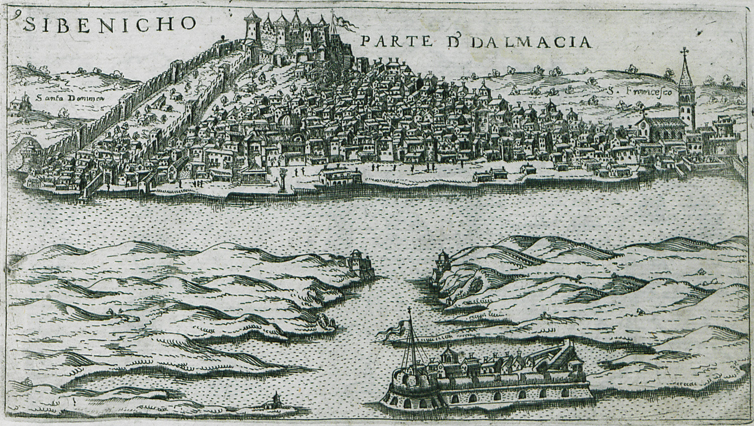
View of Sibenik in Croatia. The fortress of Saint Nicholas is visible on the foreground.
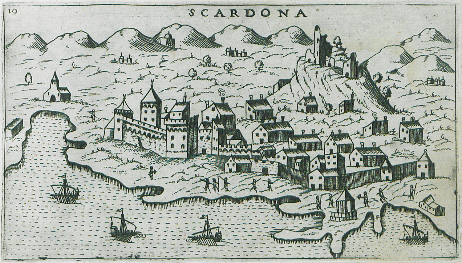
Map of Skradin (Scardona in Italian) in Croatia.
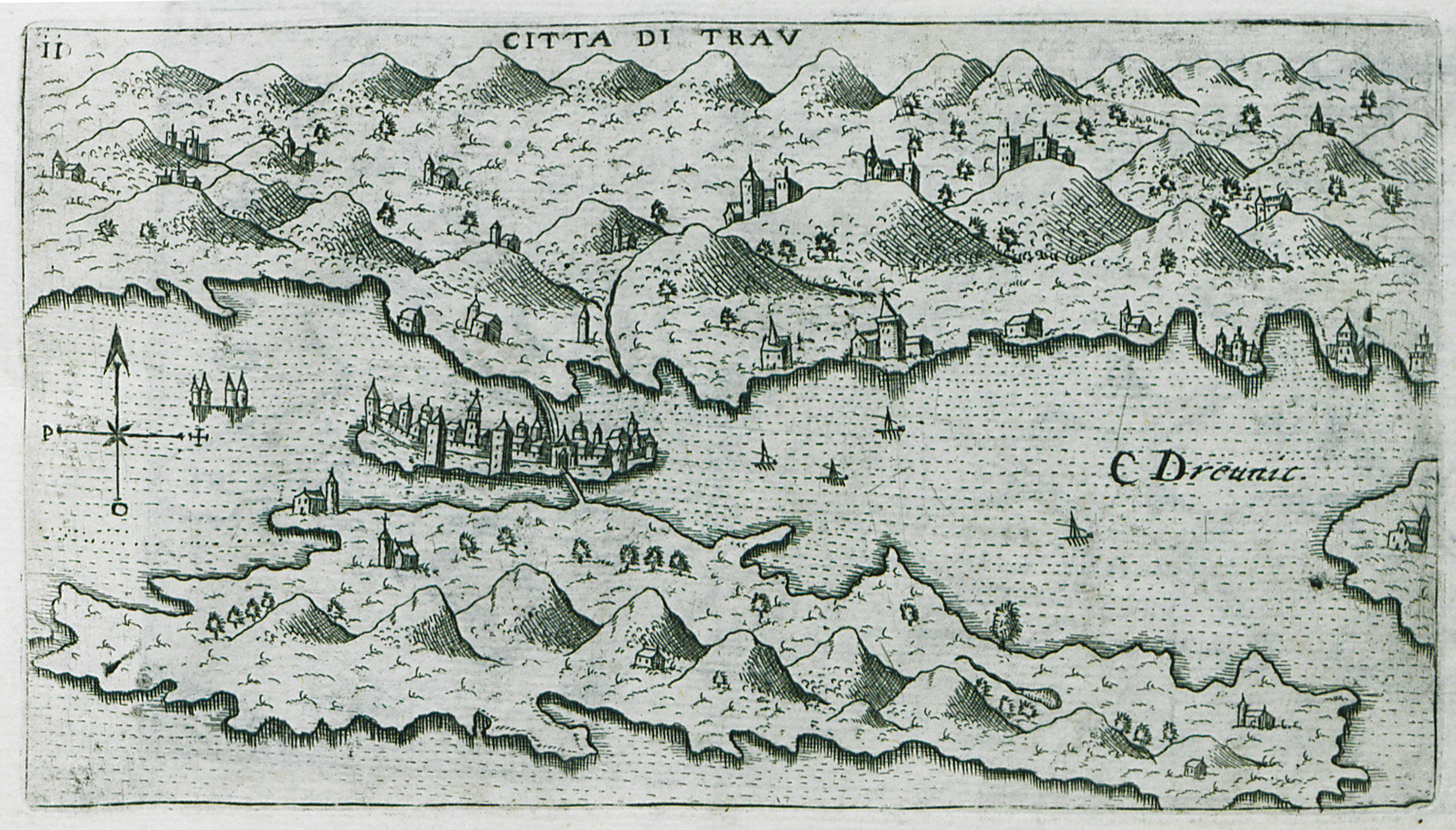
Map of Trogir in Croatia.
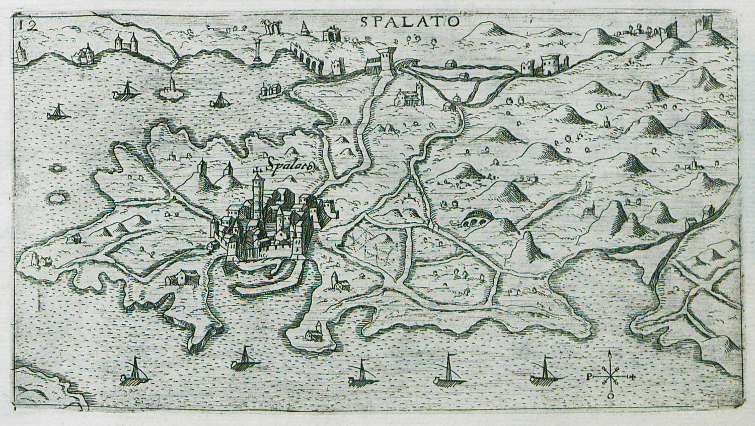
Map of Split in Croatia.
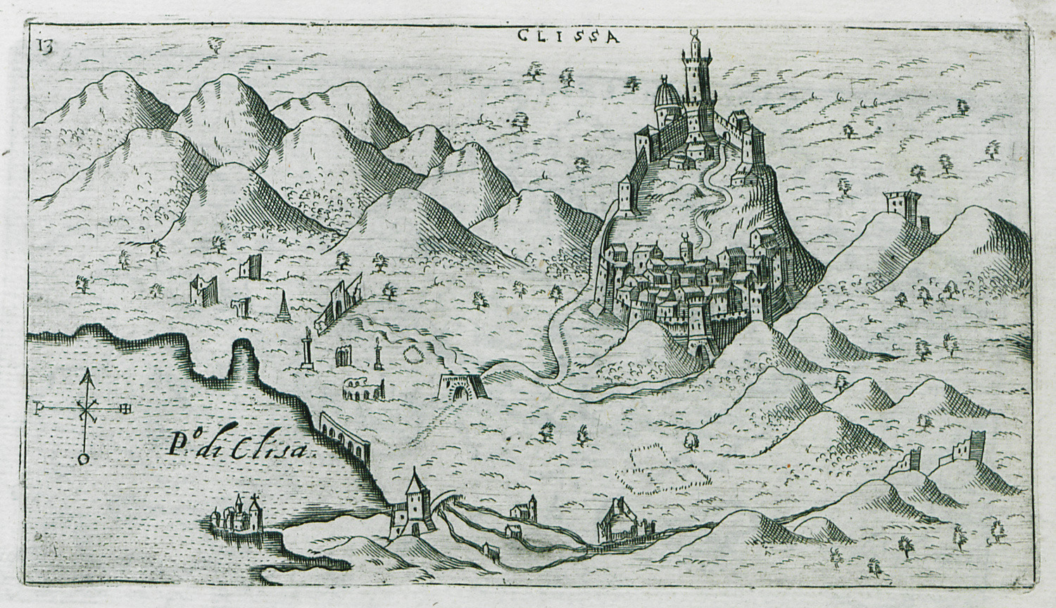
Map of Klis castle in Croatia.
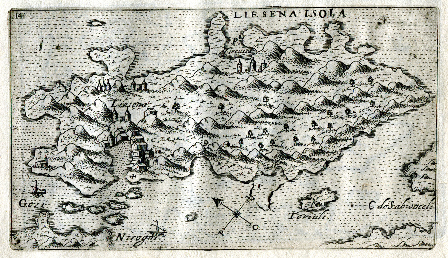
Map of Hvar island in Croatia.
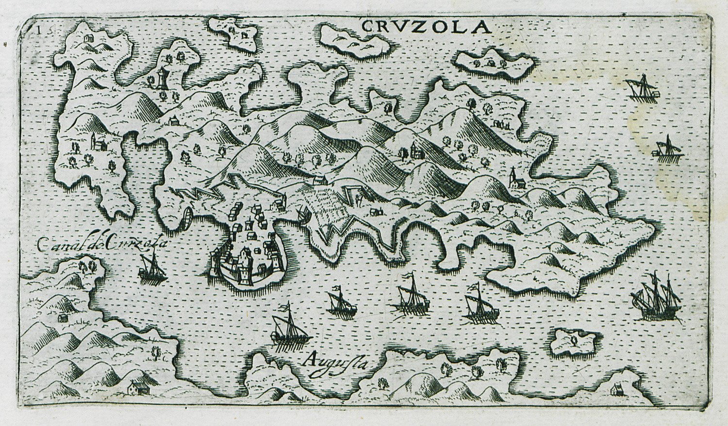
Map of Korcula in Croatia.
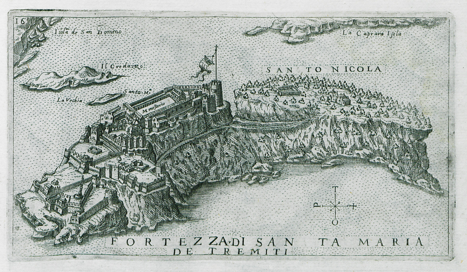
Map of San Nicola, Tremiti islands, in Italy.
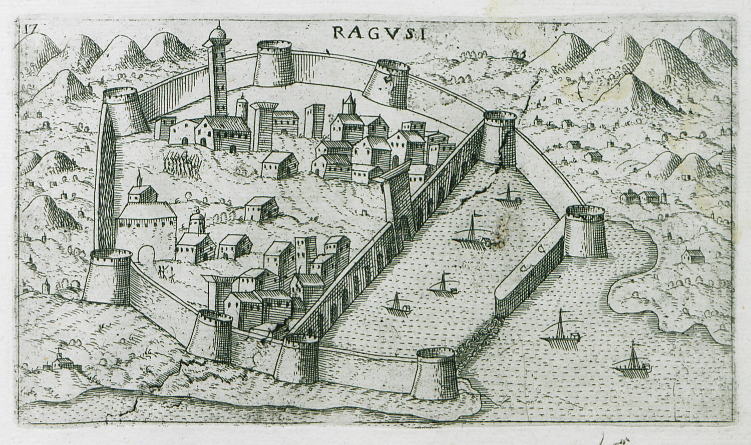
View of Dubrovnik (Ragusa) in Croatia.
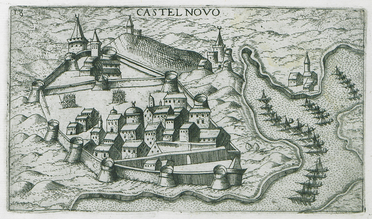
View of Herceg Novi in Montenegro.
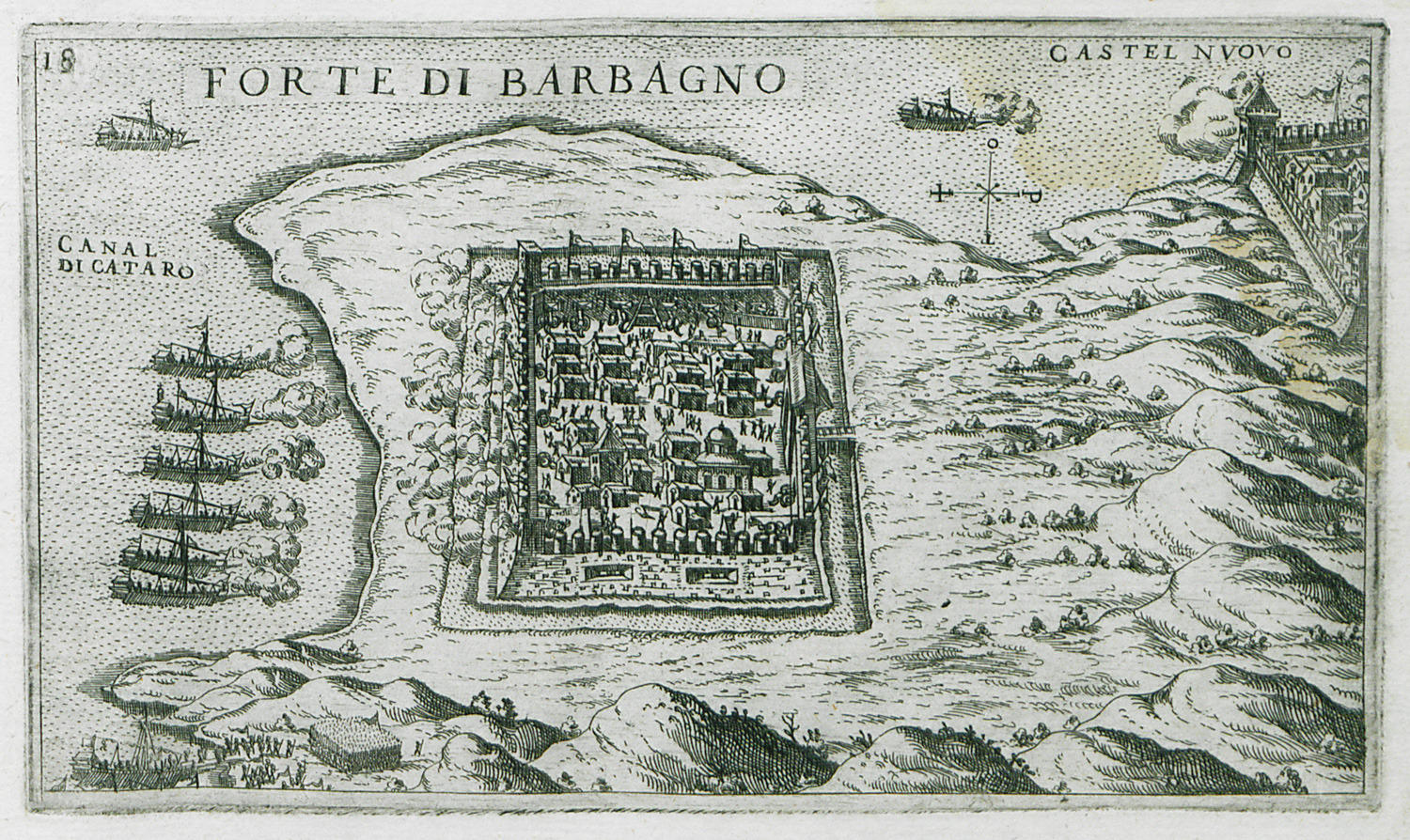
View of the Ottoman fortress of Kanli Kula in Herceg Novi, besieged by the Venetians.
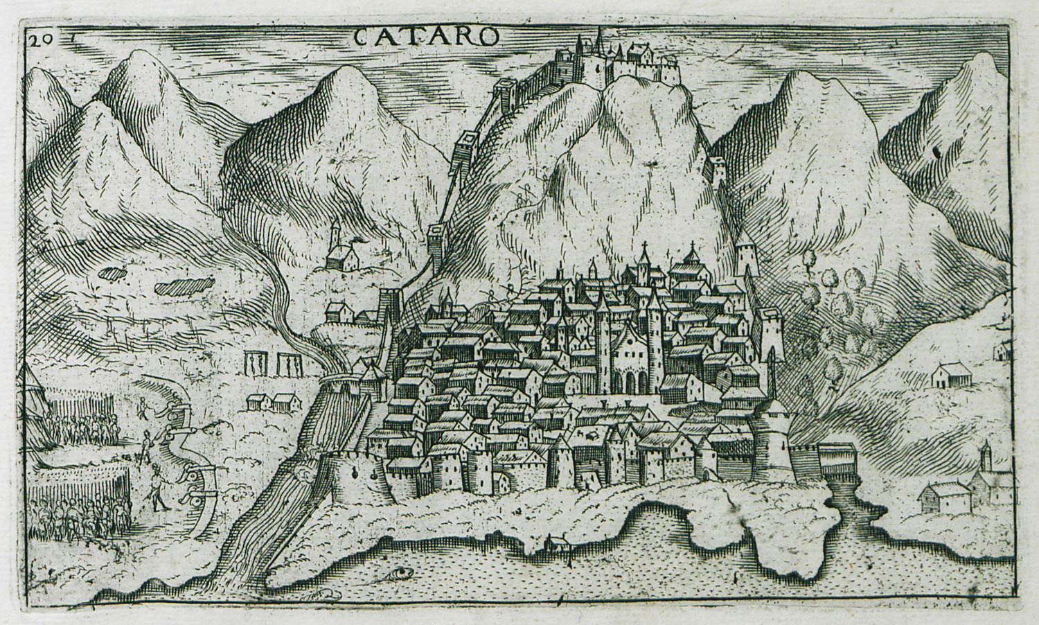
View of Kotor in Montenegro, with the fortress of Saint John.
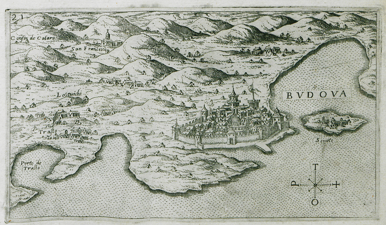
View of Budva in Montenegro.
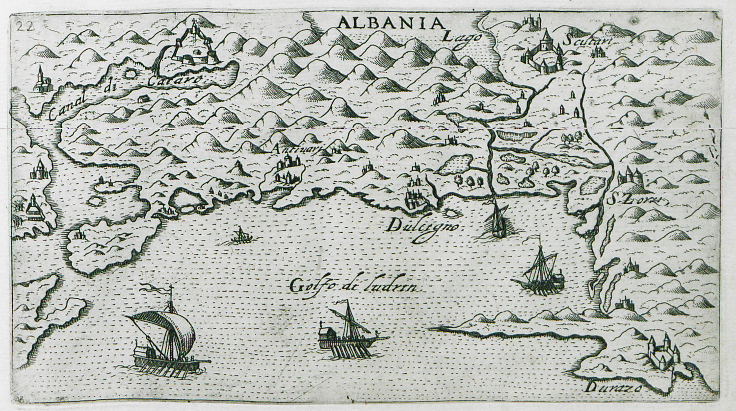
View of the Adriatic coast, from Kotor in Montenegro to Durrës in Albania.
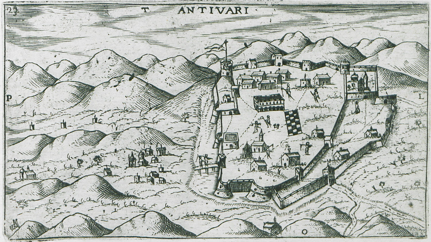
View of Bar in Montenegro.
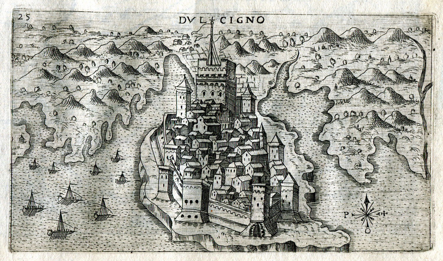
View of Ulcinj in Montenegro.
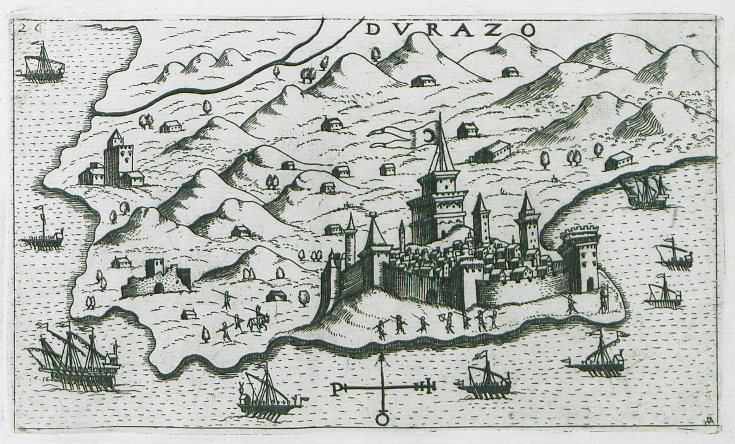
View of Durrës in Albania.
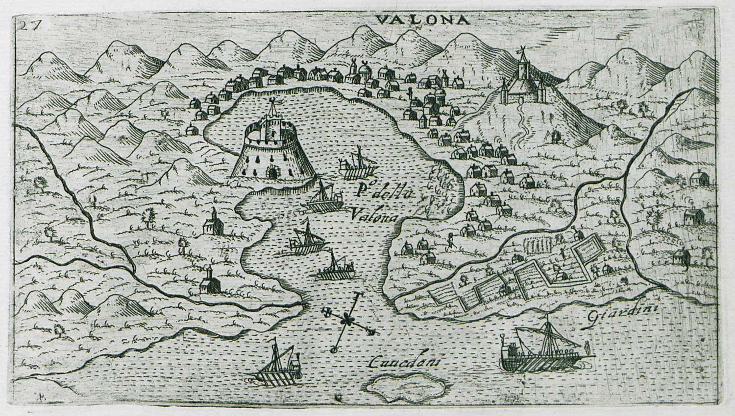
View of Vlorë in Albania.
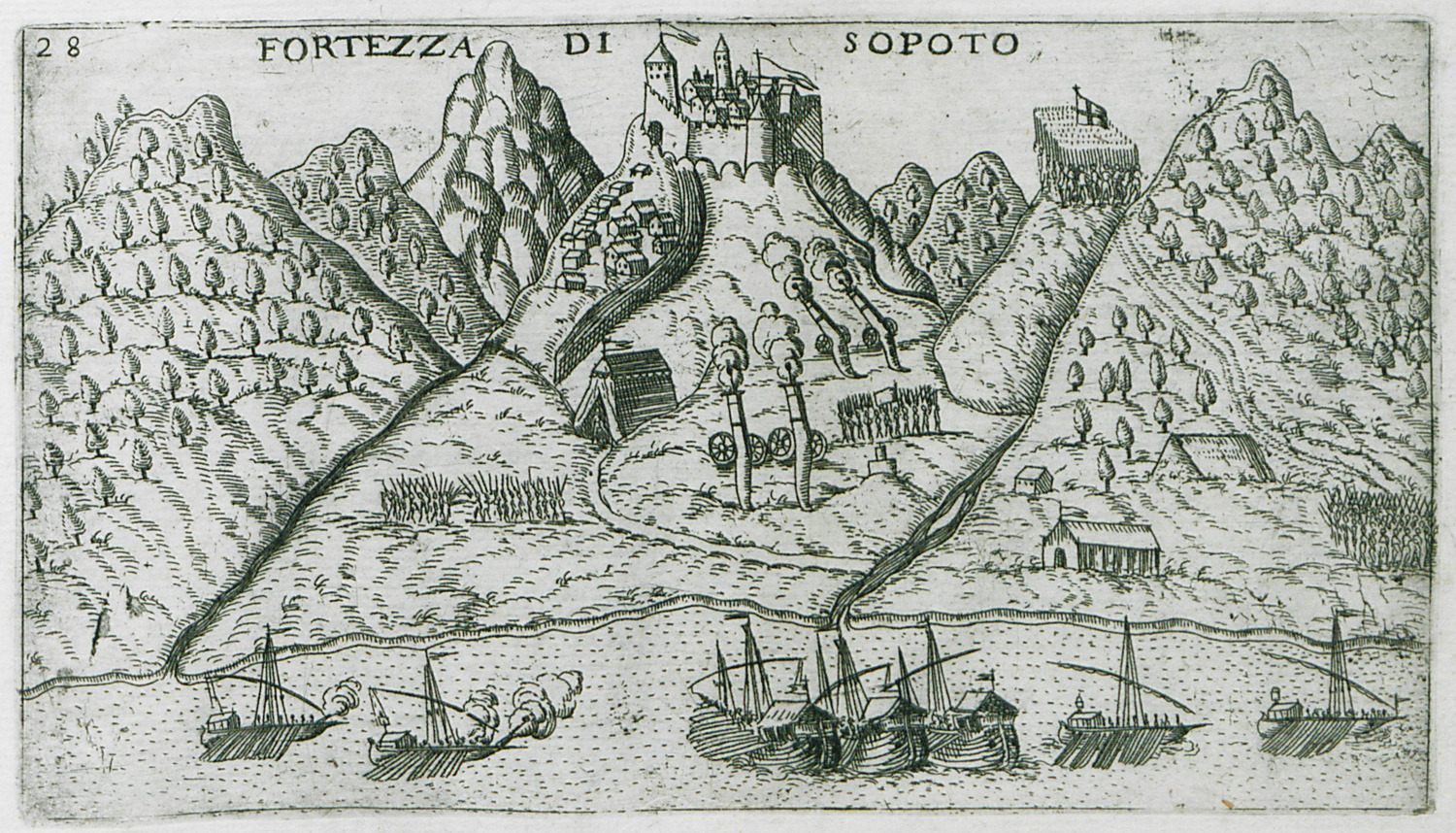
View of the fortress of Borsh, or Castle of Sopot, in Albania.
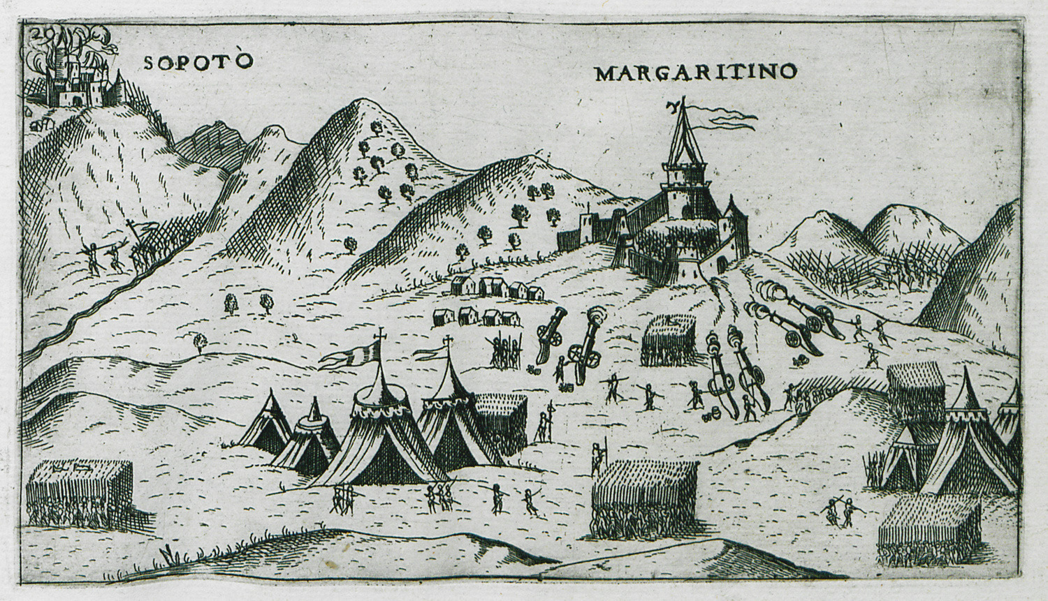
The Venetian army at Qeparo, Albania, during the siege of Sopot.
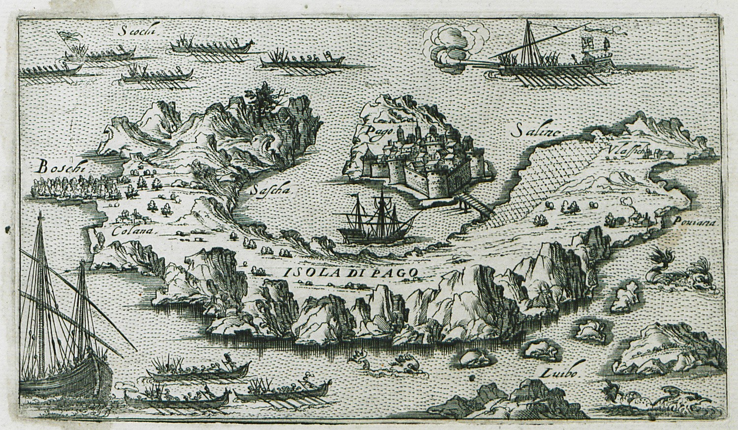
Map of Pag island in Croatia.
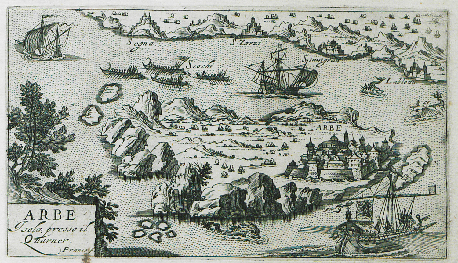
Map of Rab island in Croatia.


