Ports (634 Subjects)
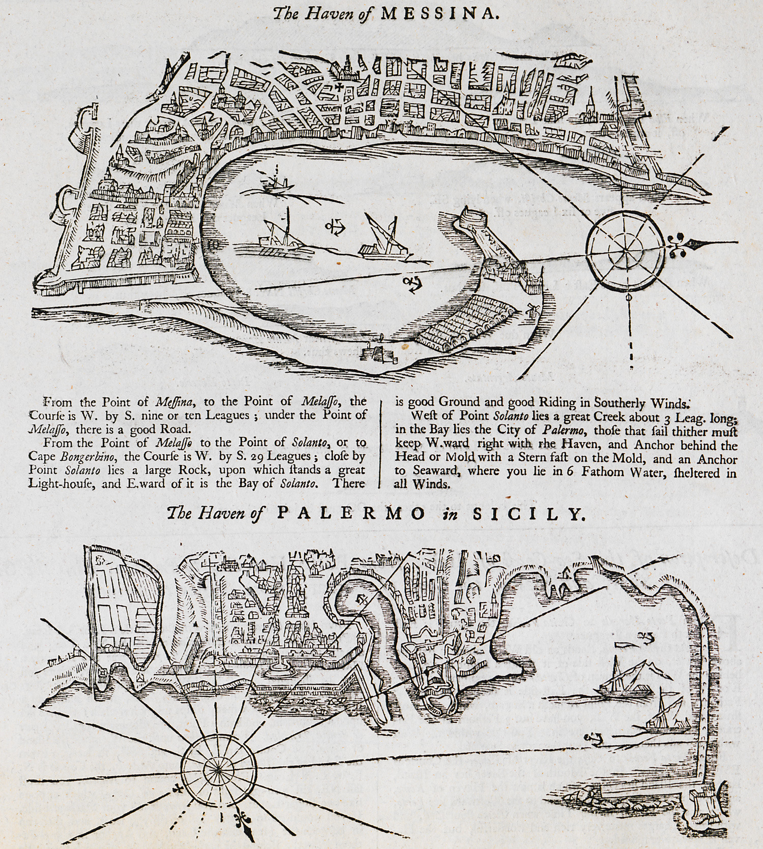
Nautical chart of the bay of Messina, Sicily. Nautical chart of the port of Palermo, Sicily.
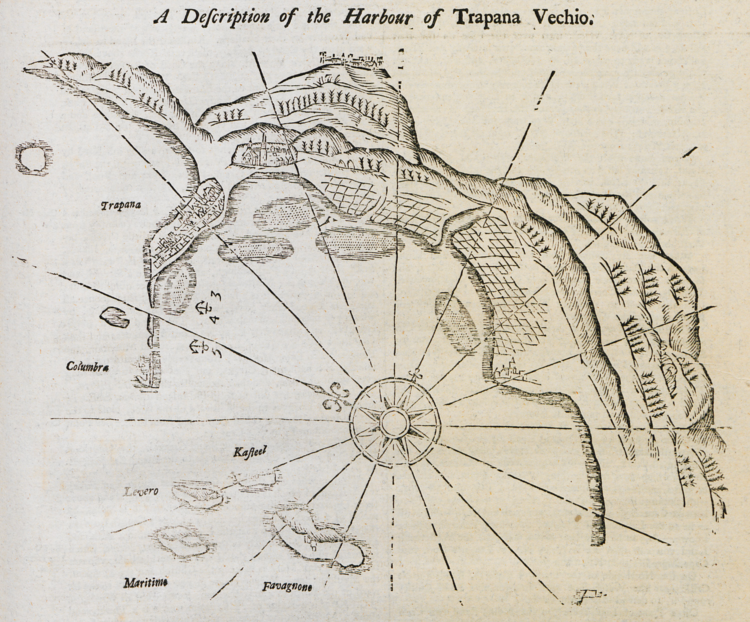
Nautical chart of the harbour of Trapani, Sicily.
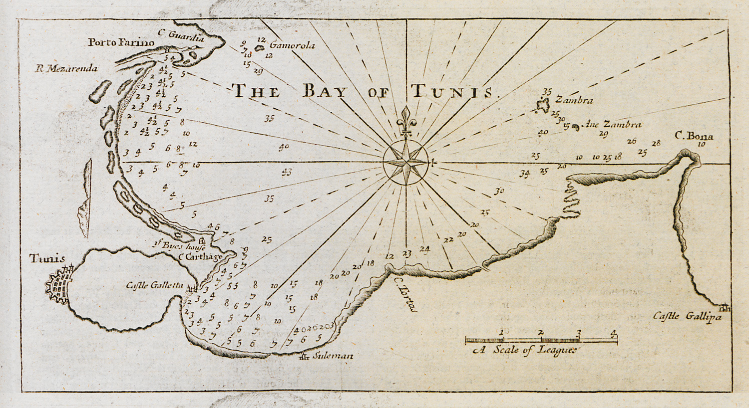
Nautical chart of the bay of Tunis.
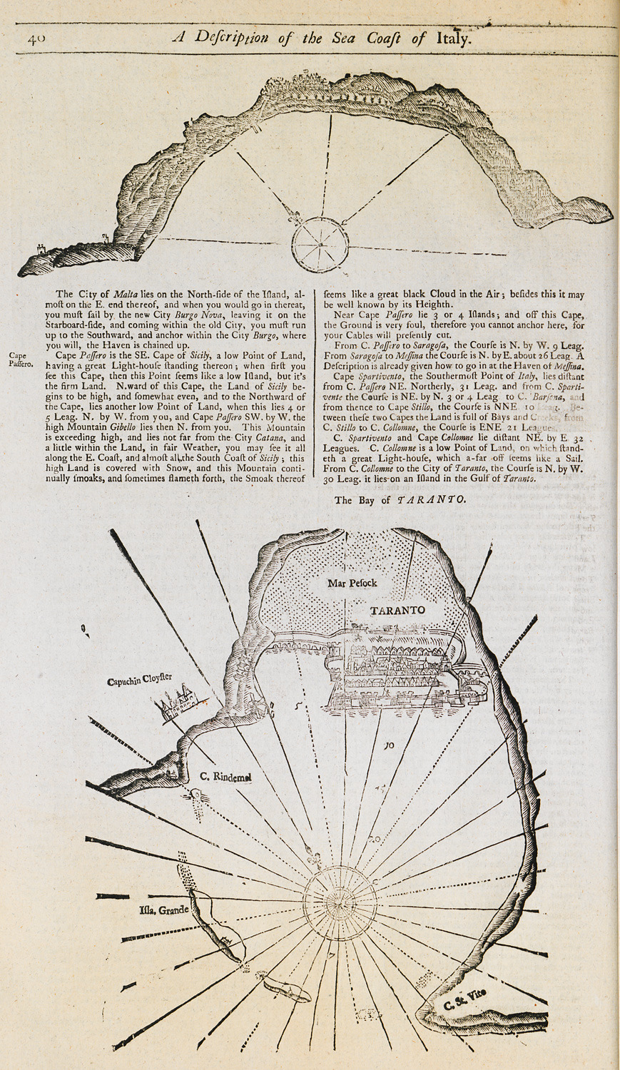
Nautical chart of the bay and promontory of Passero, Sicily. Nautical chart of the bay of Taranto.
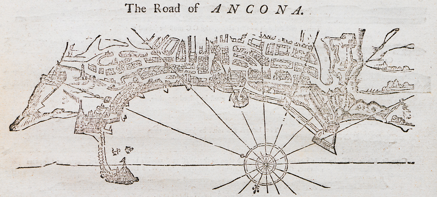
Nautical chart of the port of Ancona, Italy.
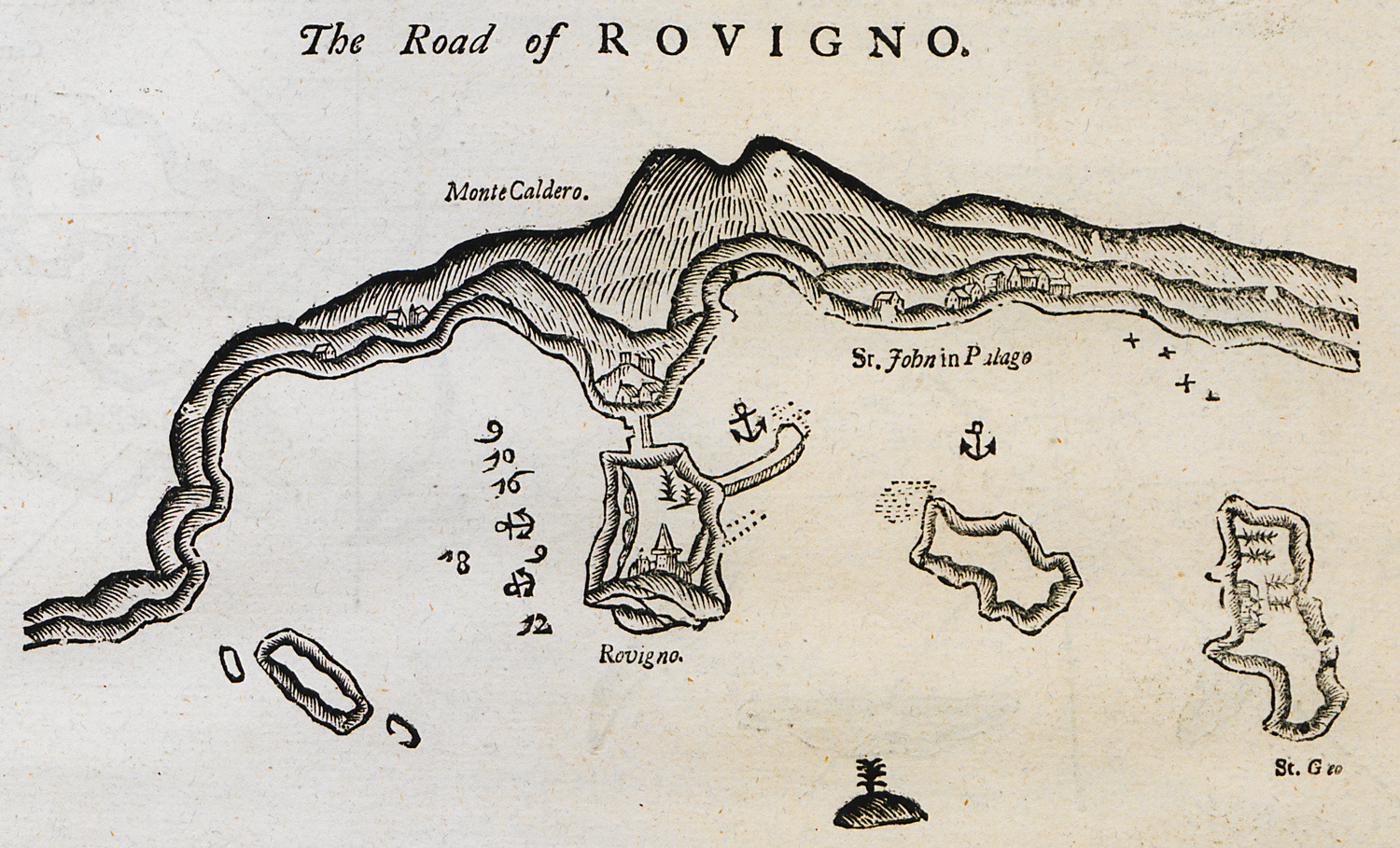
Nautical chart of the bay of Rovinj on Istria peninsula.
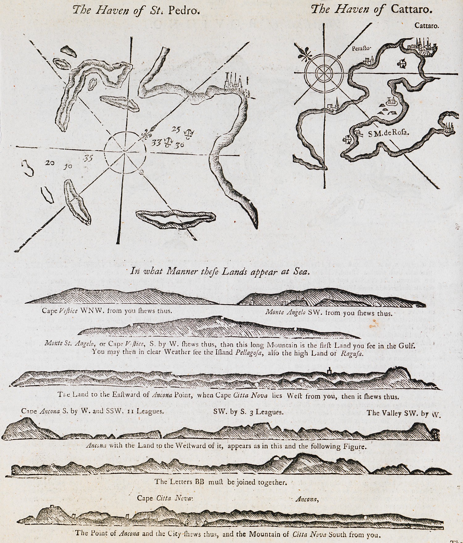
Nautical chart of the bay of Molat in Croatia. Nautical chart of the bay of Kotor in Croatia. Outline of the coast of Dalmatia.
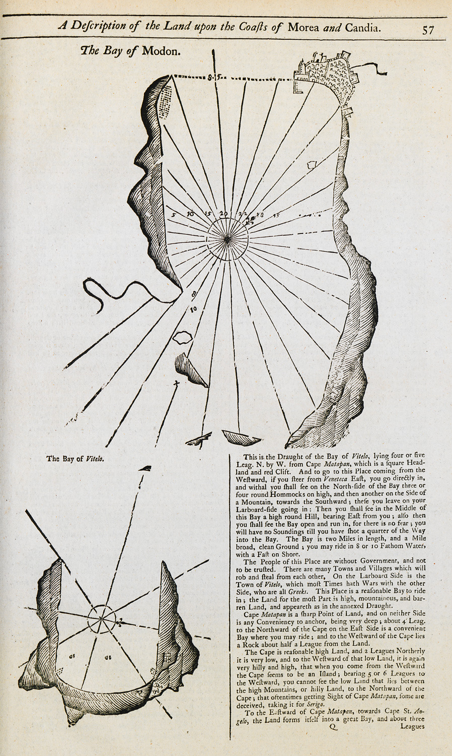
Nautical chart of the bay of Methoni. Map of the bay of Oitylo.
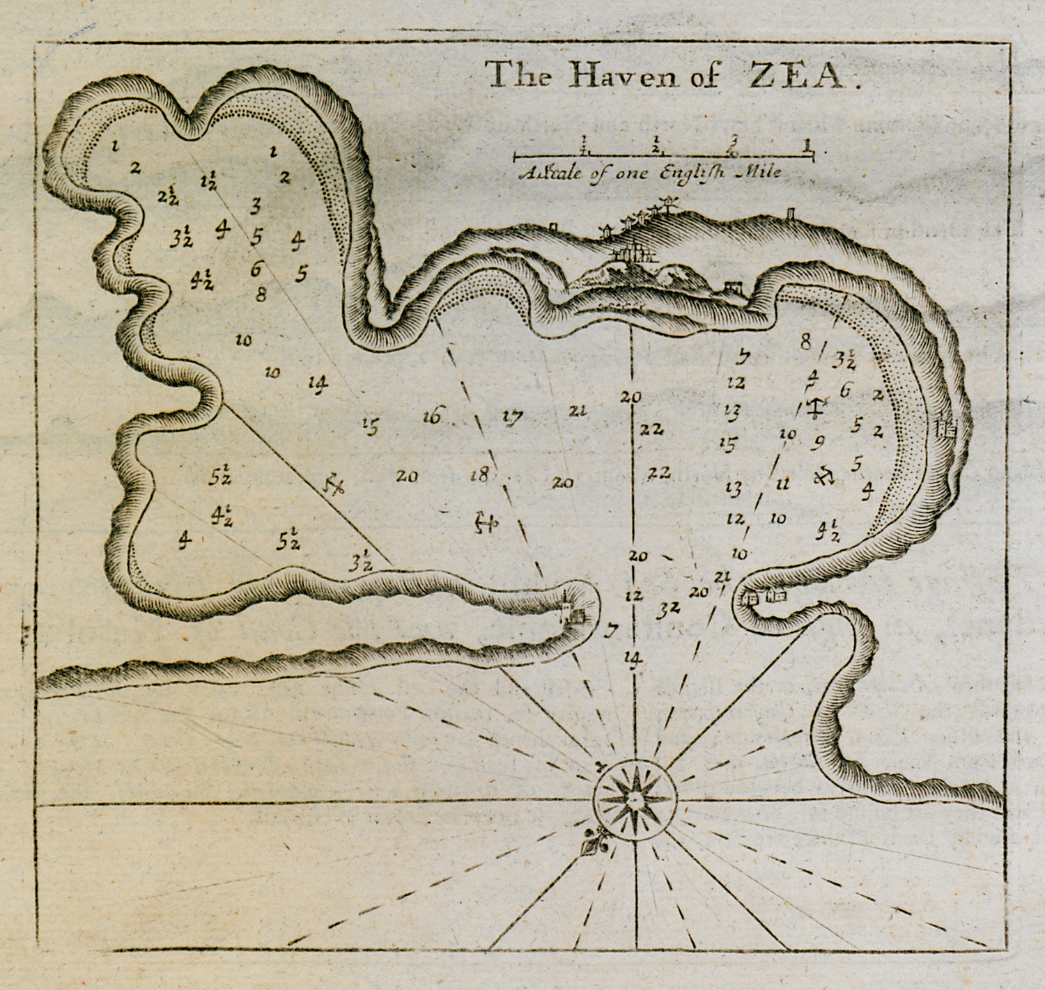
Nautical chart of the harbour and port of Kea island.
Nautical chart of the bay of Gallipoli, Turkey. View of Marmara island.
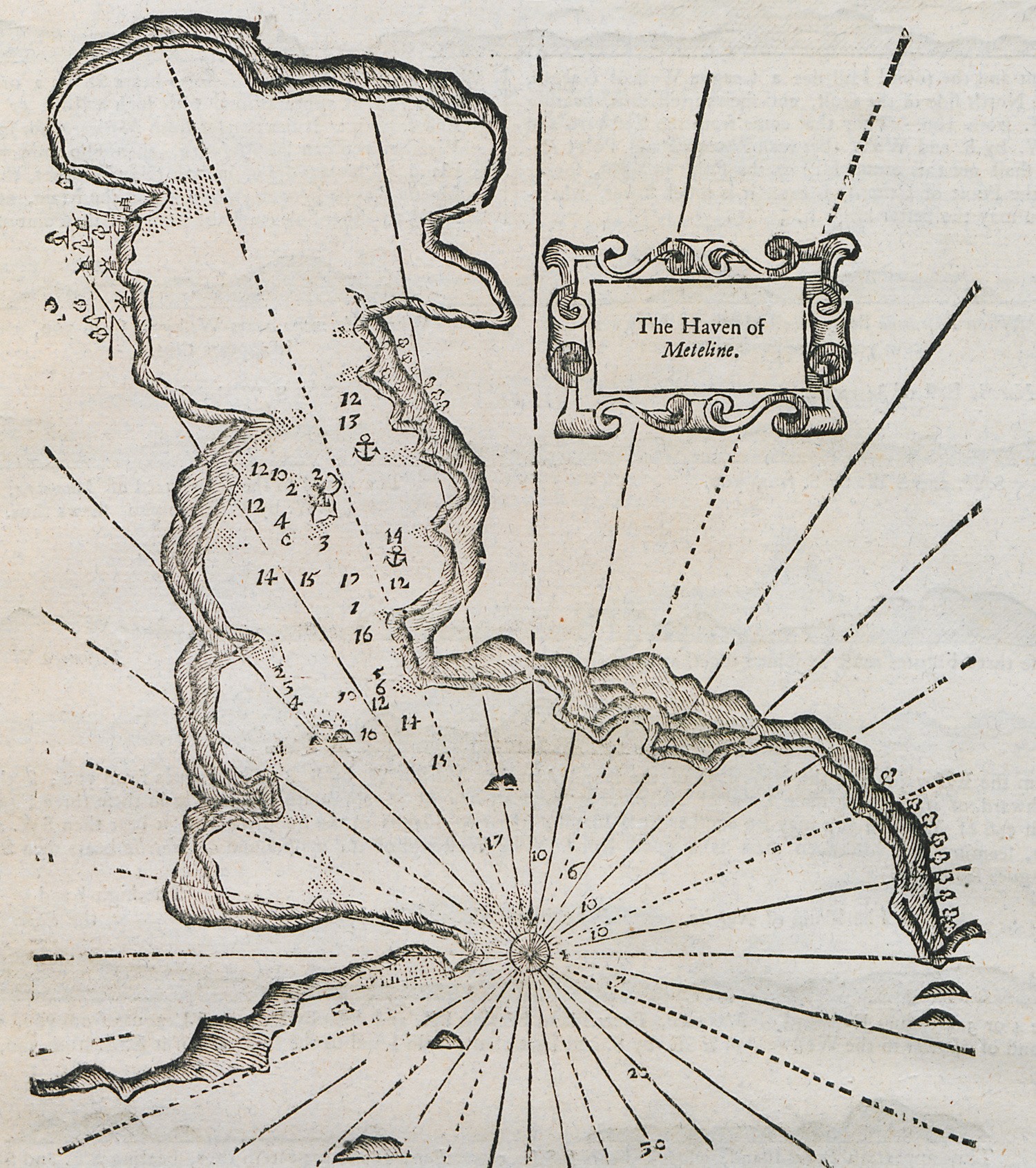
Nautical chart of the bay of Gera, Lesbos island.
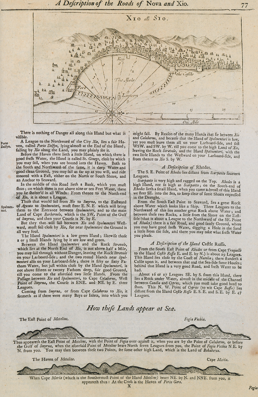
Nautical chart of the port of Chios. Outline of the coasts of Lesbos island and Foça in Asia Minor.
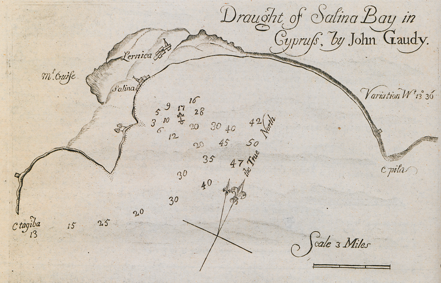
Nautical chart of the bay of Larnaca.
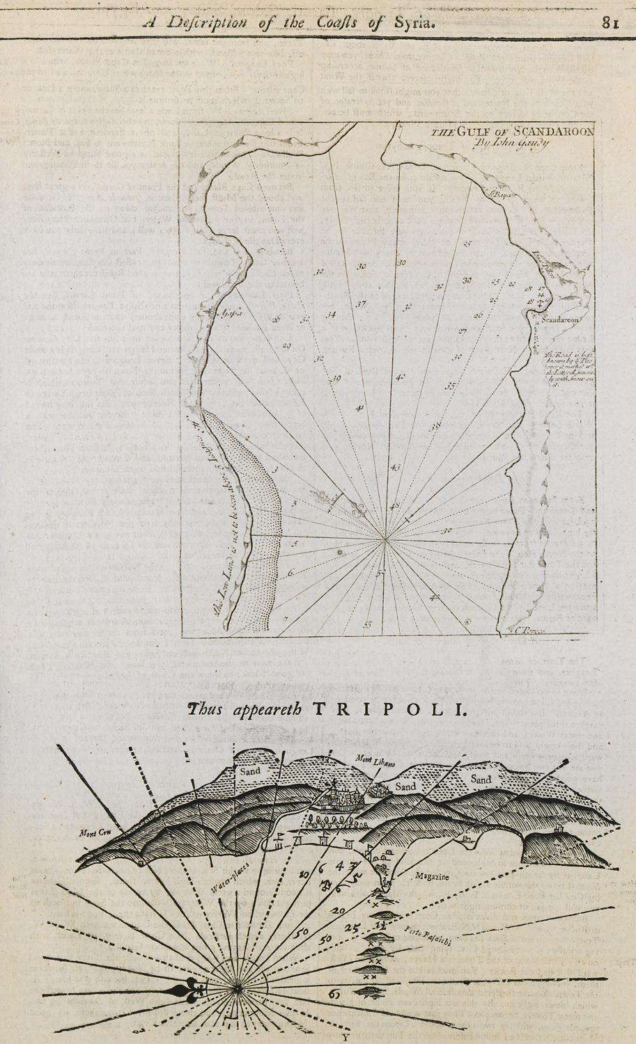
Nautical chart of the bay of Alexandretta in Turkey. Nautical chart of the port of Tripoli in Lebanon.
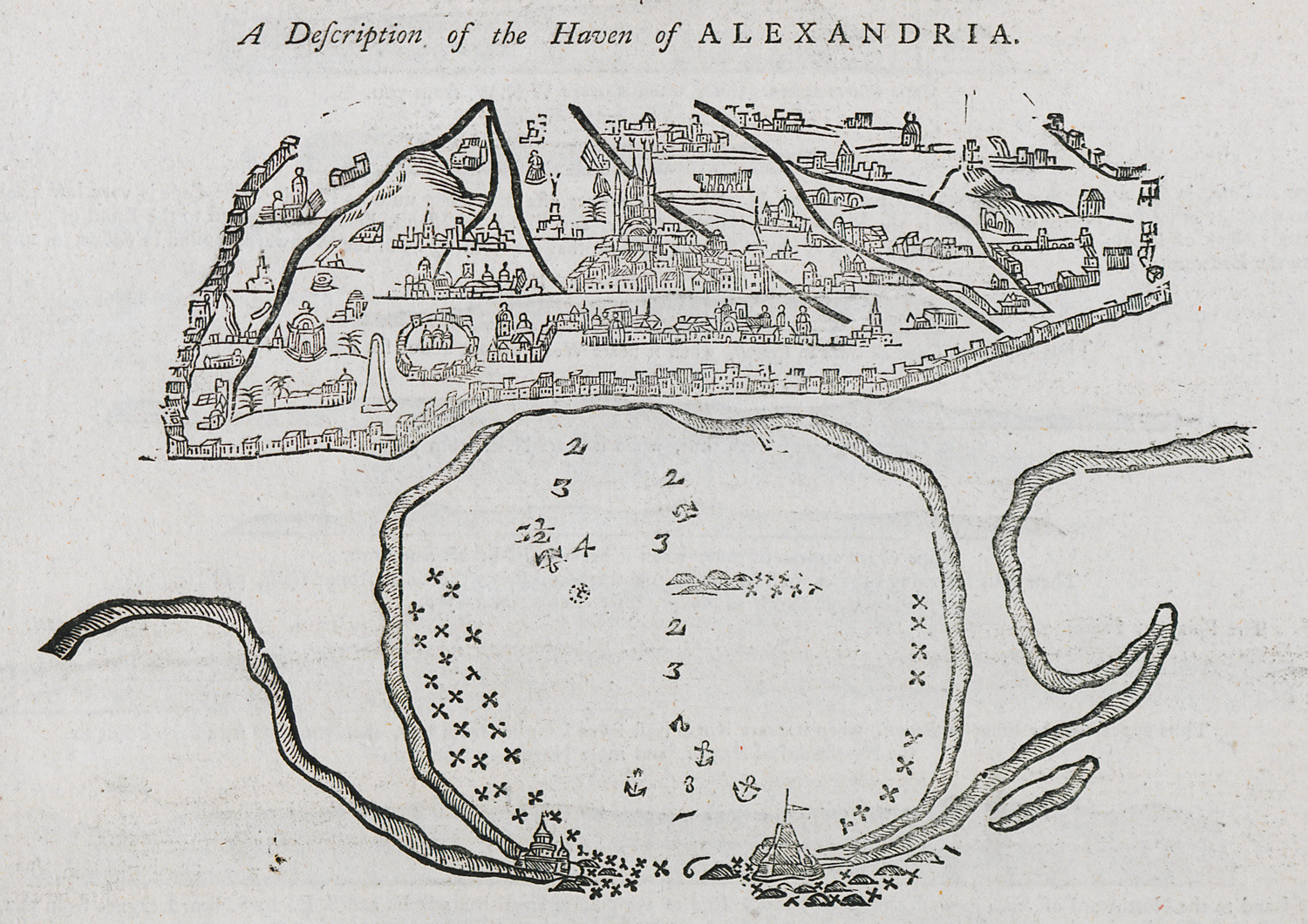
Nautical chart of the port of Alexandria.
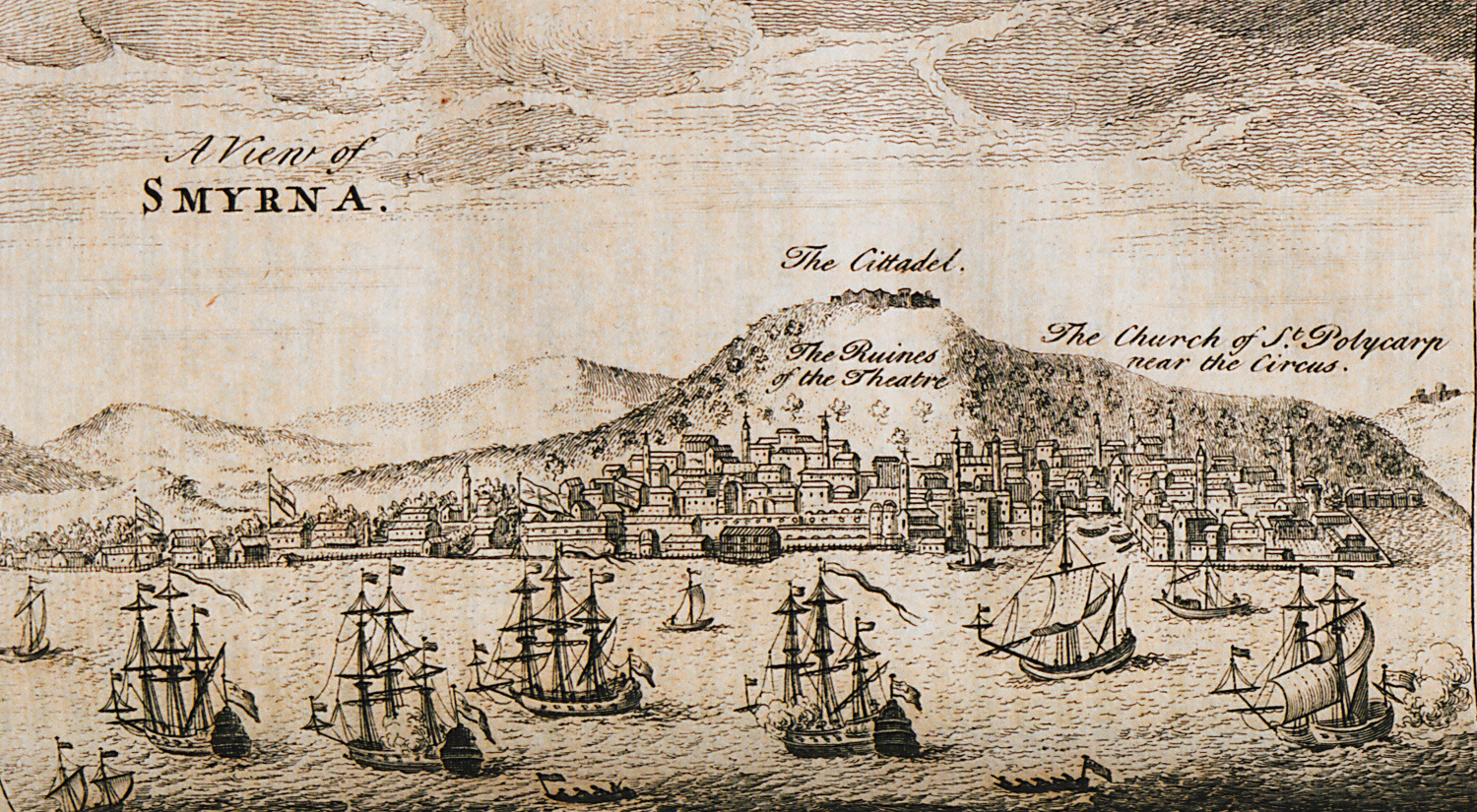
Panoramic view of Izmir.
View of Izmir. In the background, Kadifekale castle.
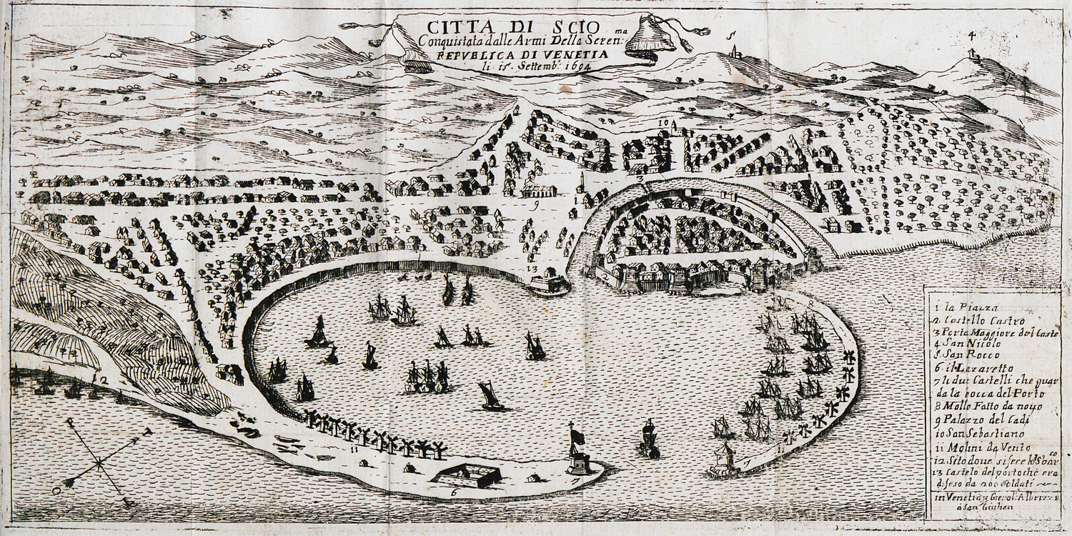
Map of the city and port of Chios.
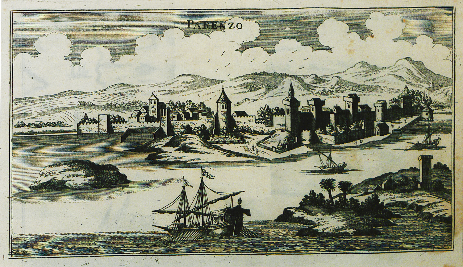
View of Poreč, Croatia.
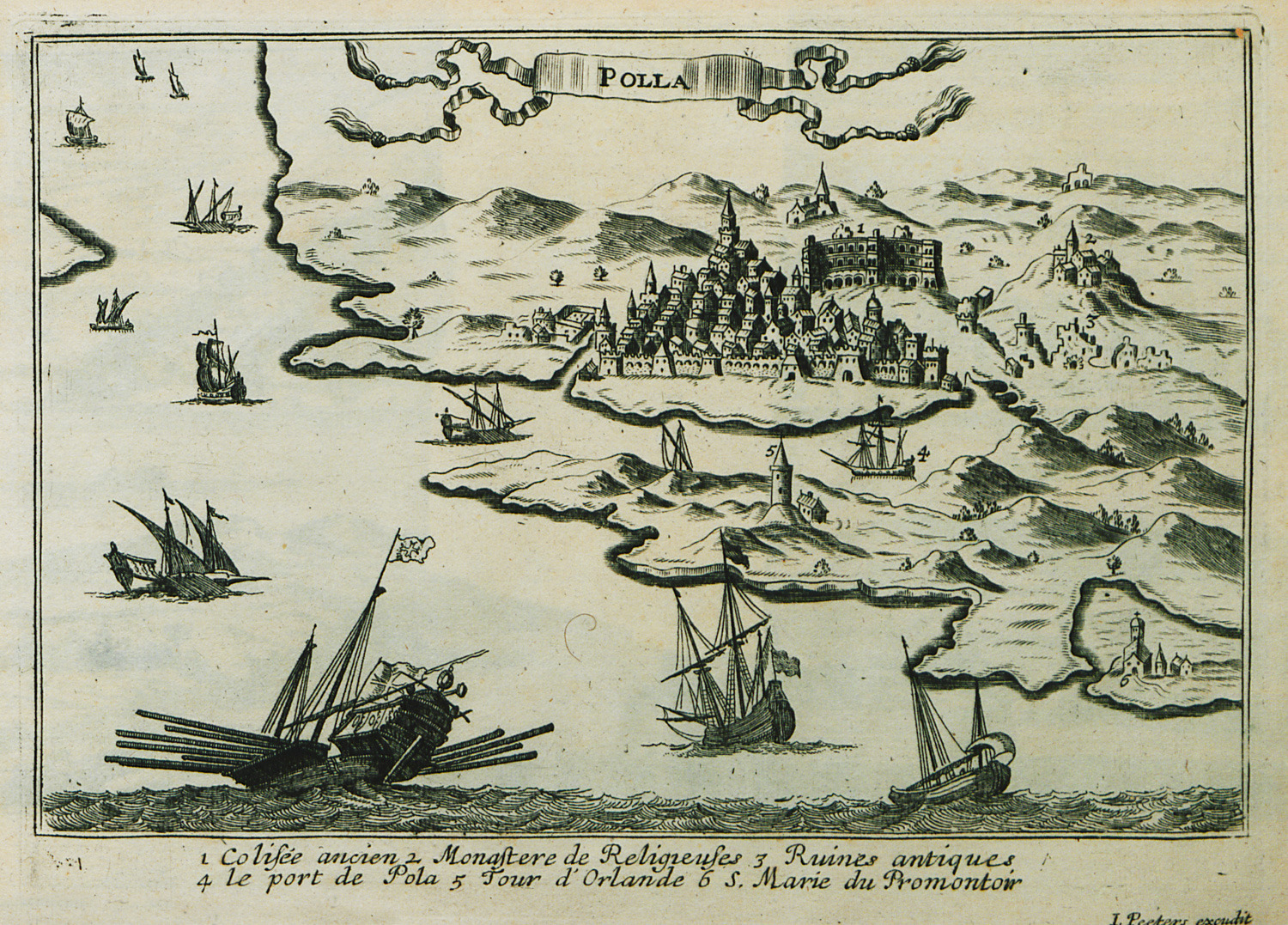
View of Pula, Croatia.
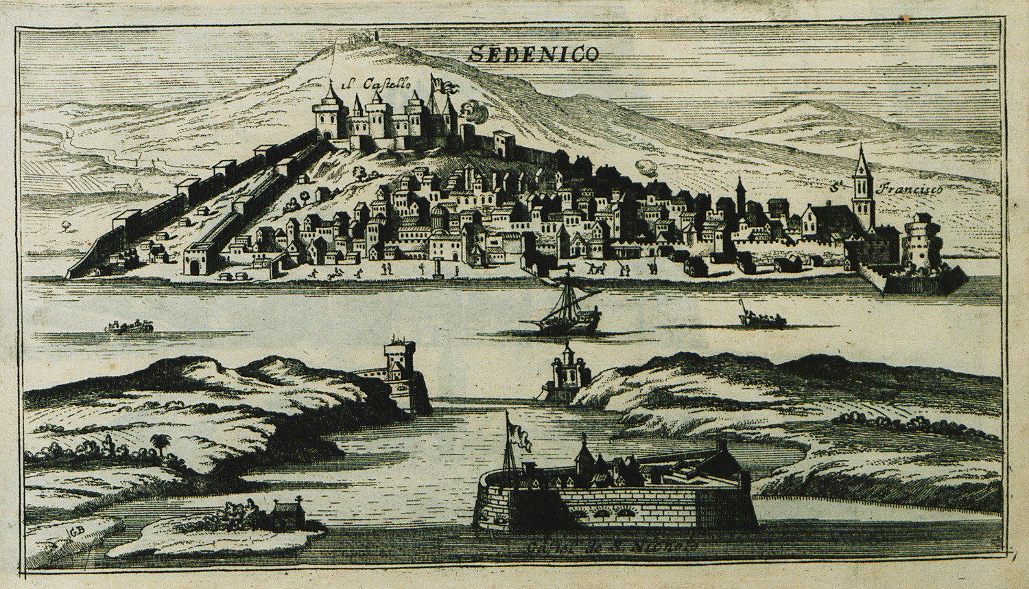
View of Šibenik, Croatia.
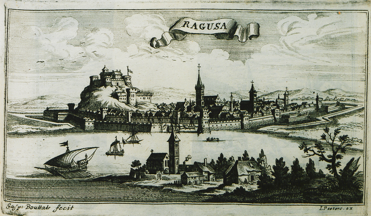
View of Dubrovnik, Croatia.
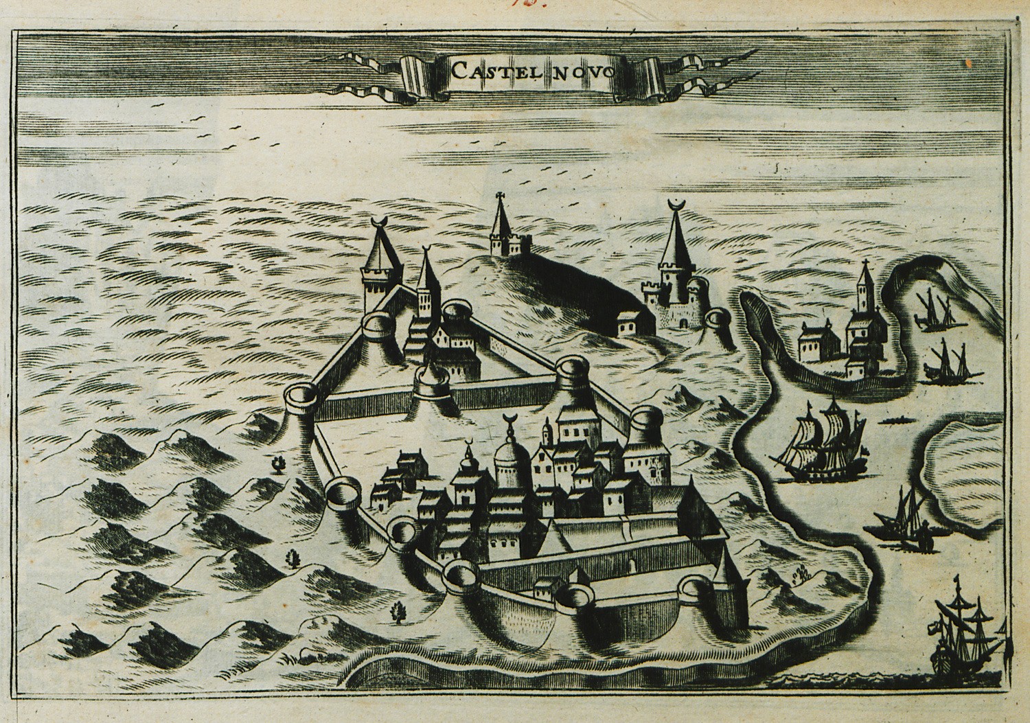
View of Herceg Novi, Montenegro.
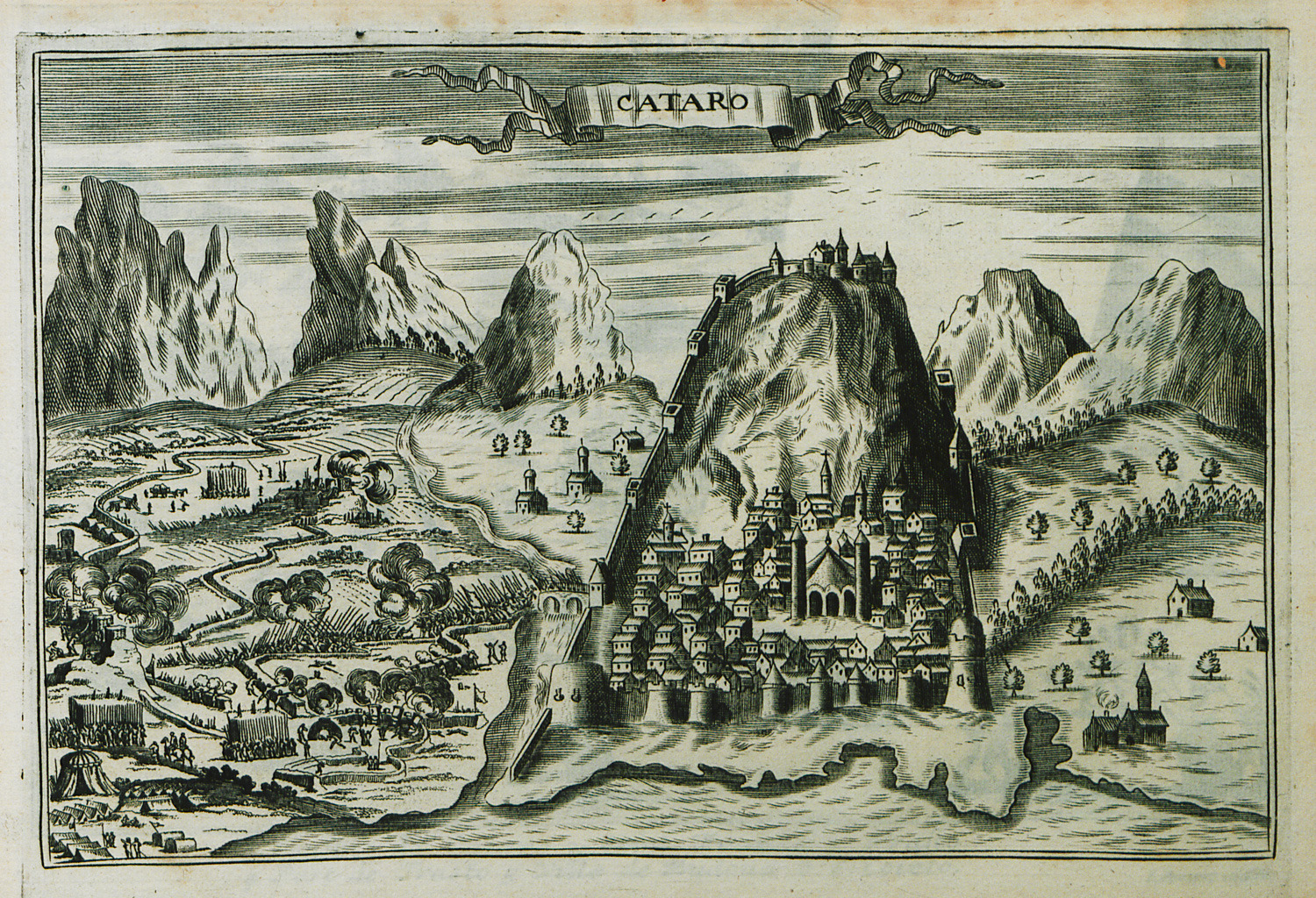
View of Kotor, Montenegro, besieged by the Ottoman army during the Sixth Venetian-Ottoman war. In the background, the castle of Saint John.
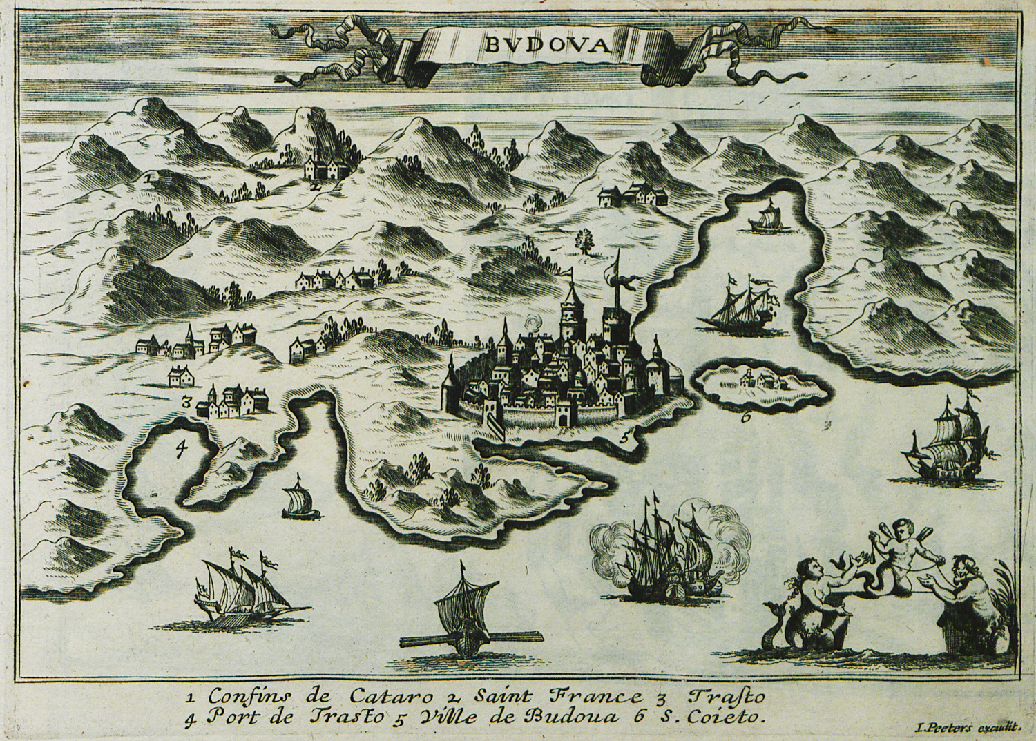
View of Budva, Montenegro.
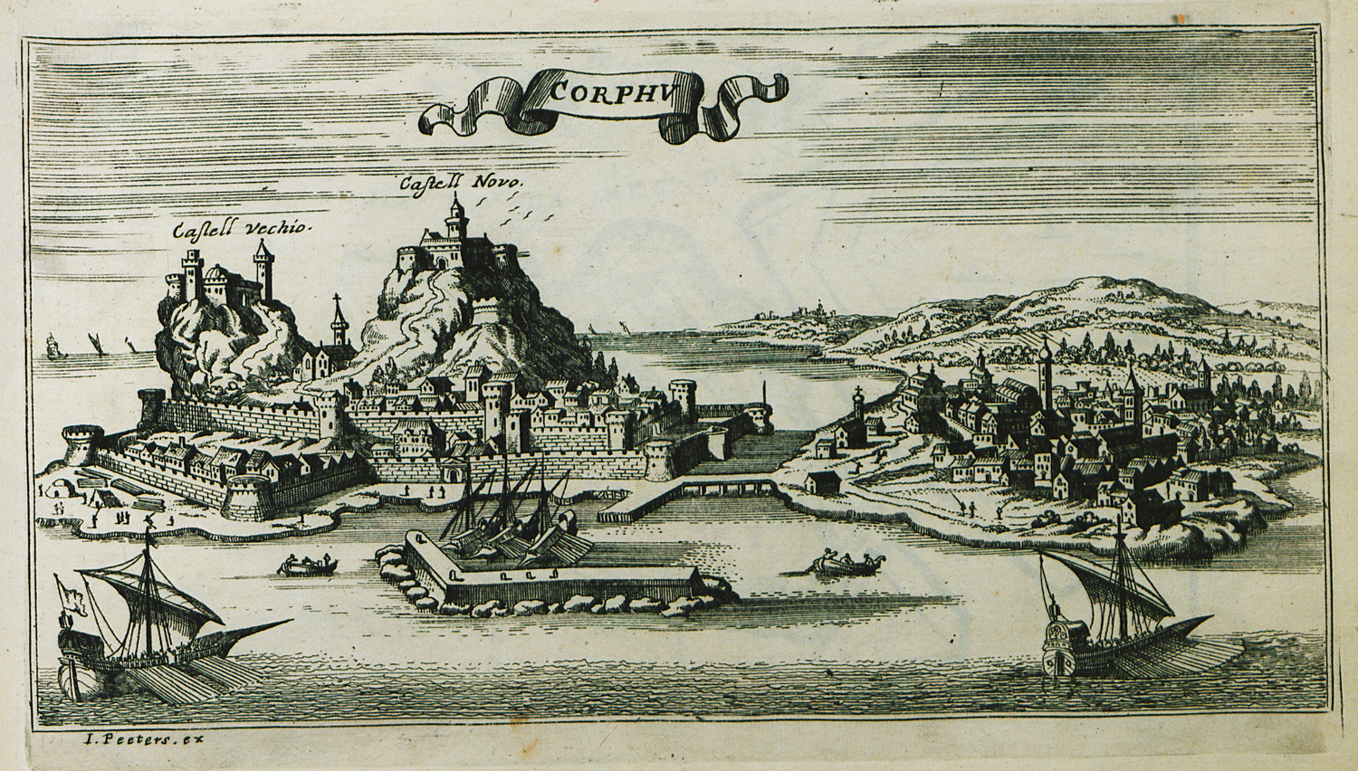
View of the city of Corfu. In the background, the Old Fortress (Palaiokastro), built on to hills. In the foreground, the Venetian fortifications of the city (New Fortress).
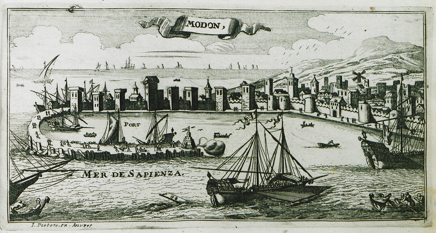
View of Methoni.
Map of the port of Cythera (Kapsali) with the Venetian fortress.
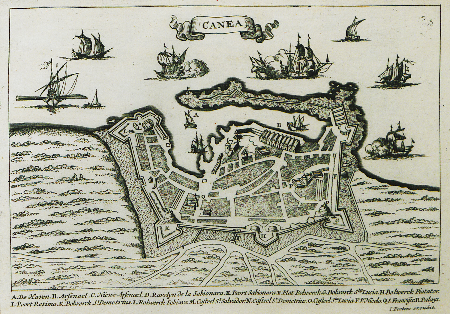
Map of the city and walls of Chania.
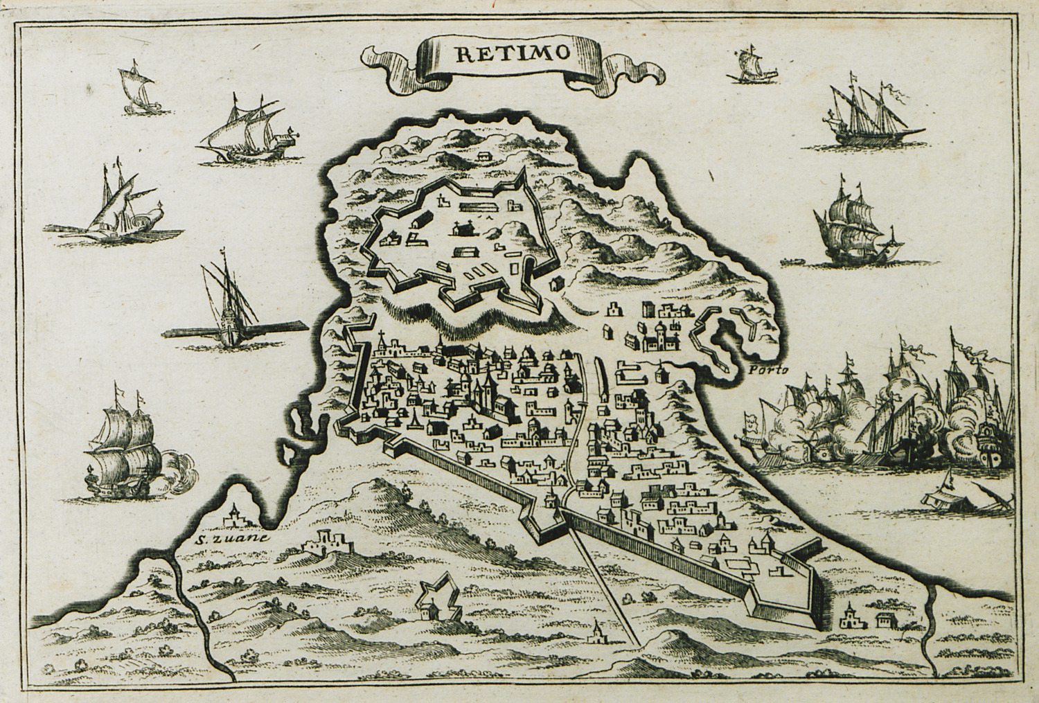
View of Rethymno.


