Marmara sea / Propontis (45 Subjects)
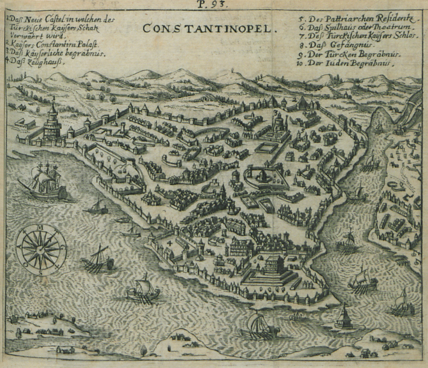
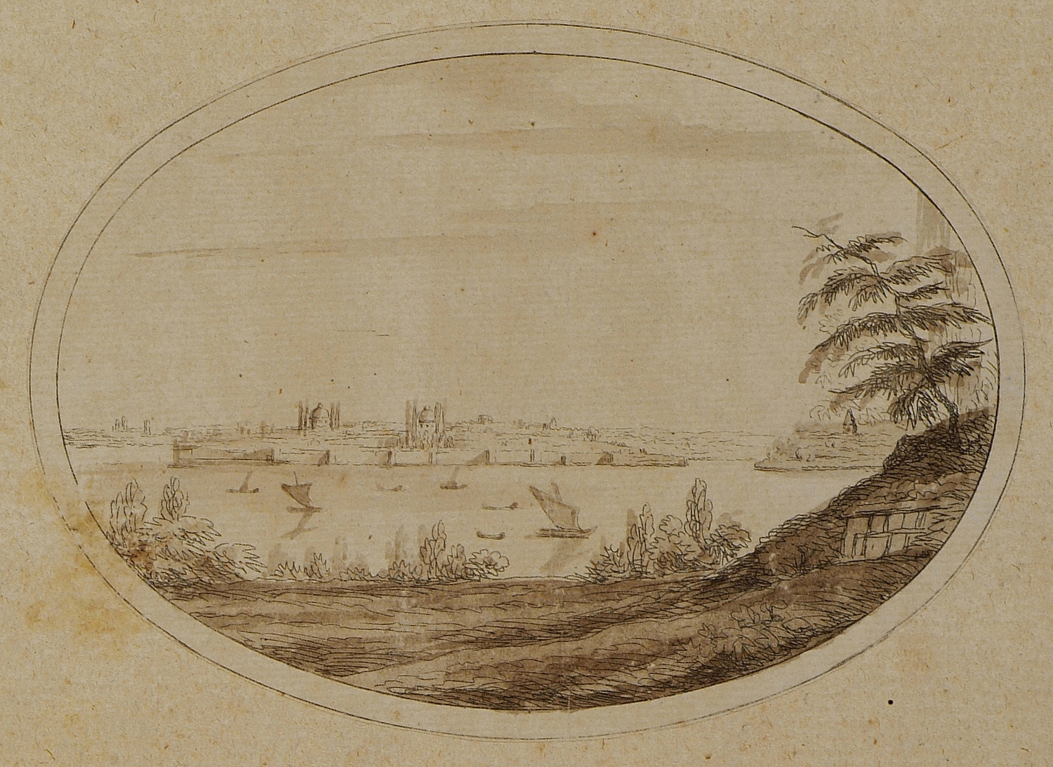
View of Istanbul.
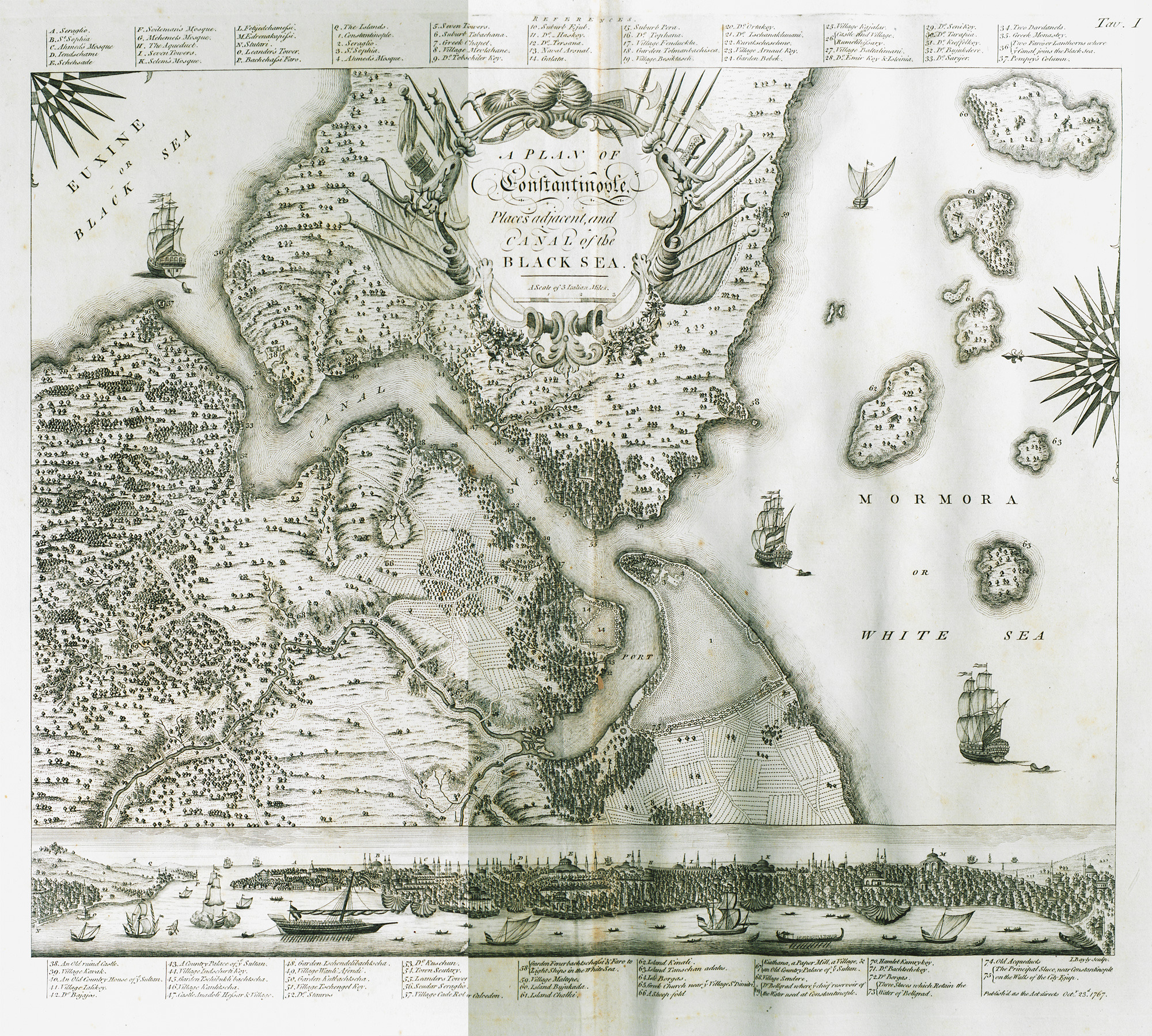
Map of Istanbul and its surroundings.
Greek woman from Marmara island.
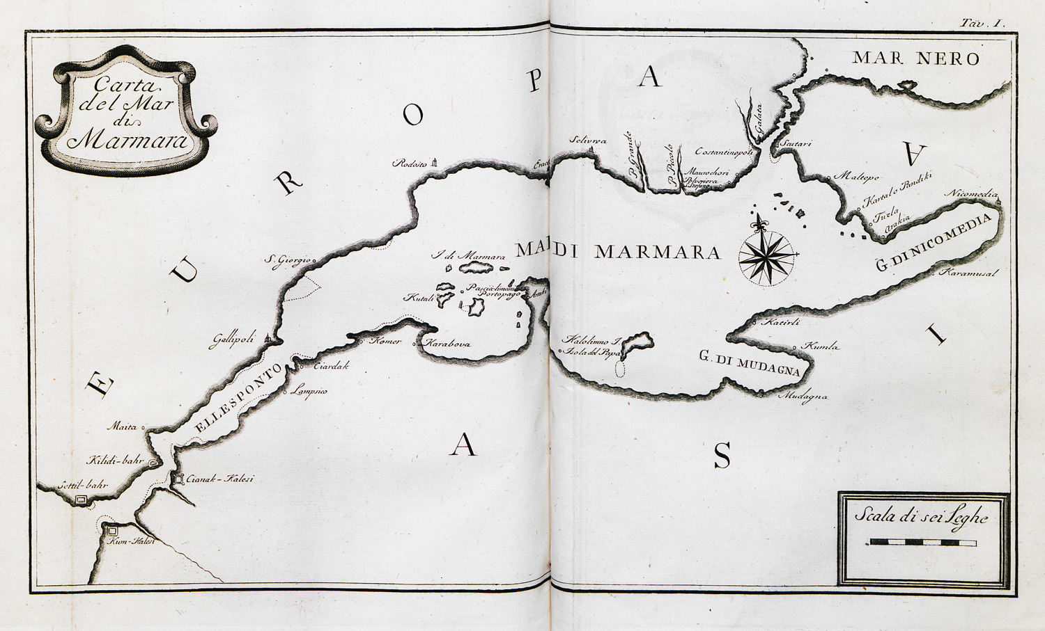
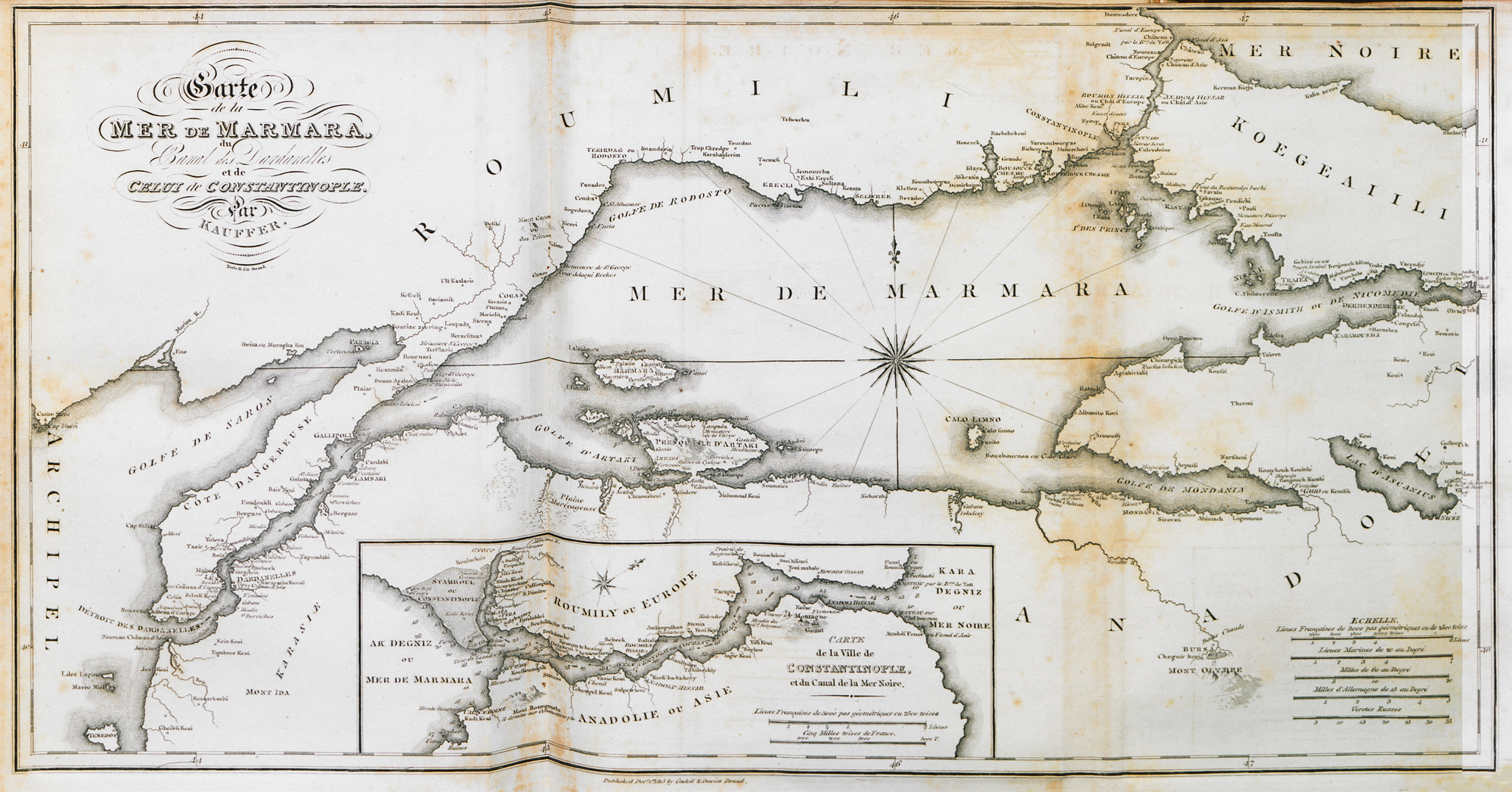
Map of Marmara sea.
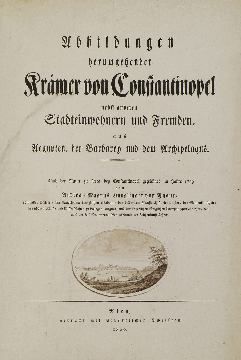
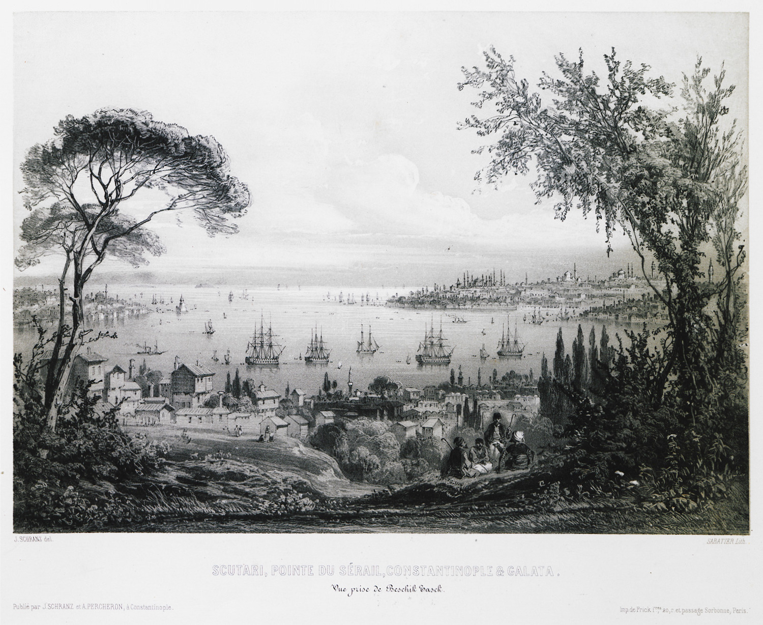
Title page. View of Seraglio Point.
View of Seraglio Point. On the right, the Tower of Galata.
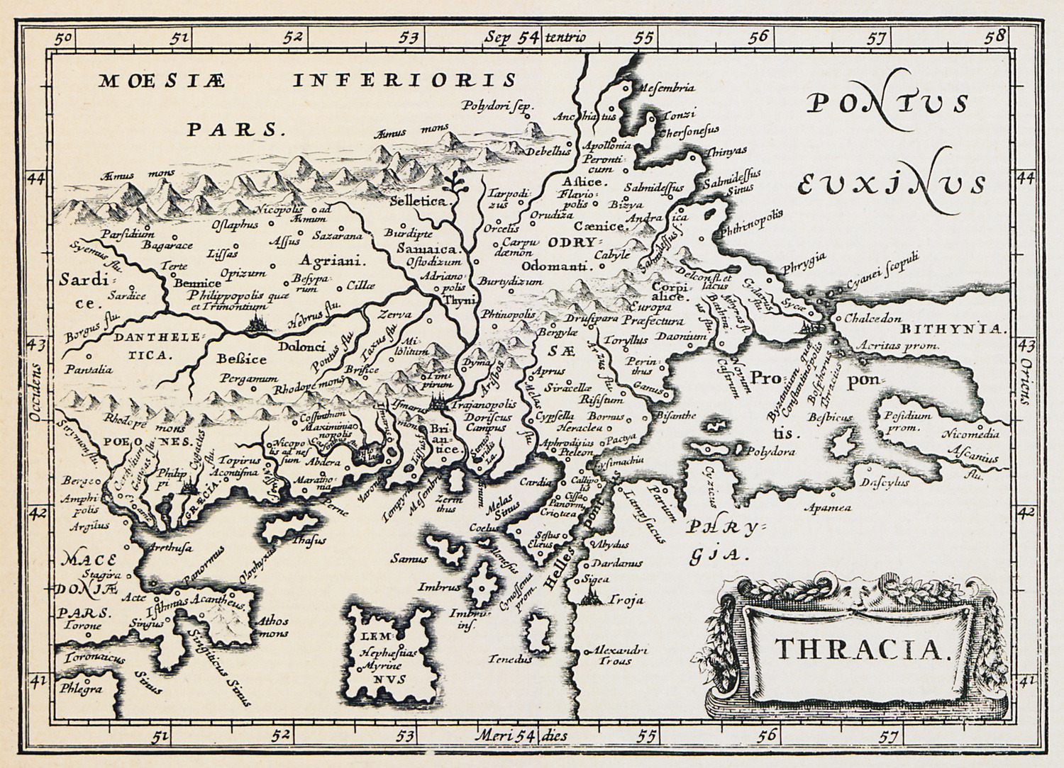
Map of Thrace.
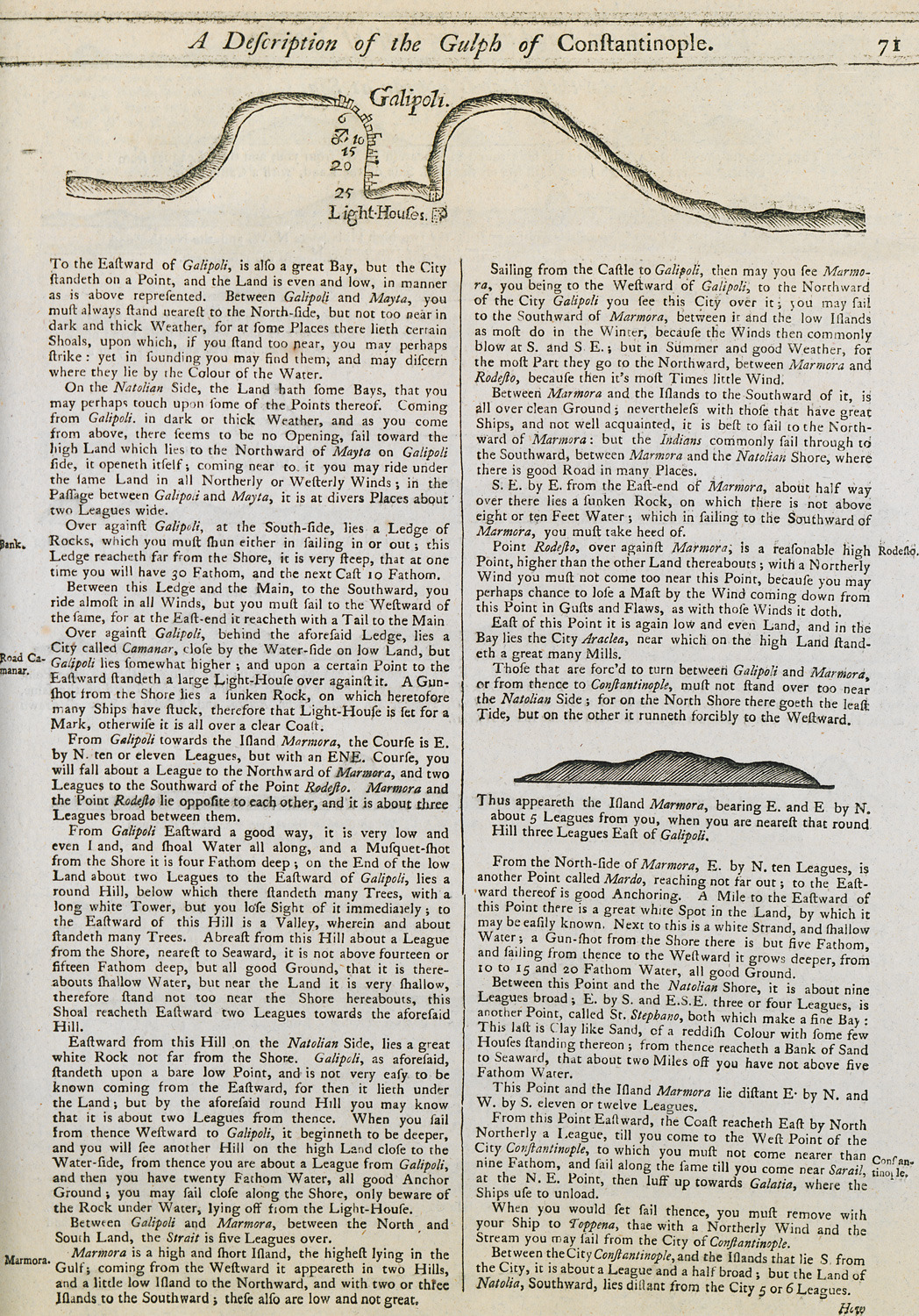
Nautical chart of the bay of Gallipoli, Turkey. View of Marmara island.
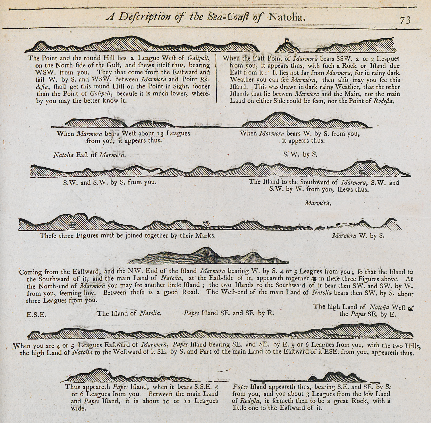
Outline of the coast of Marmara island as seen from the sea.
View of Istanbul from Üsküdar. In the background on the right-end, the Tower of Galata; on the left, the tower of Leander.
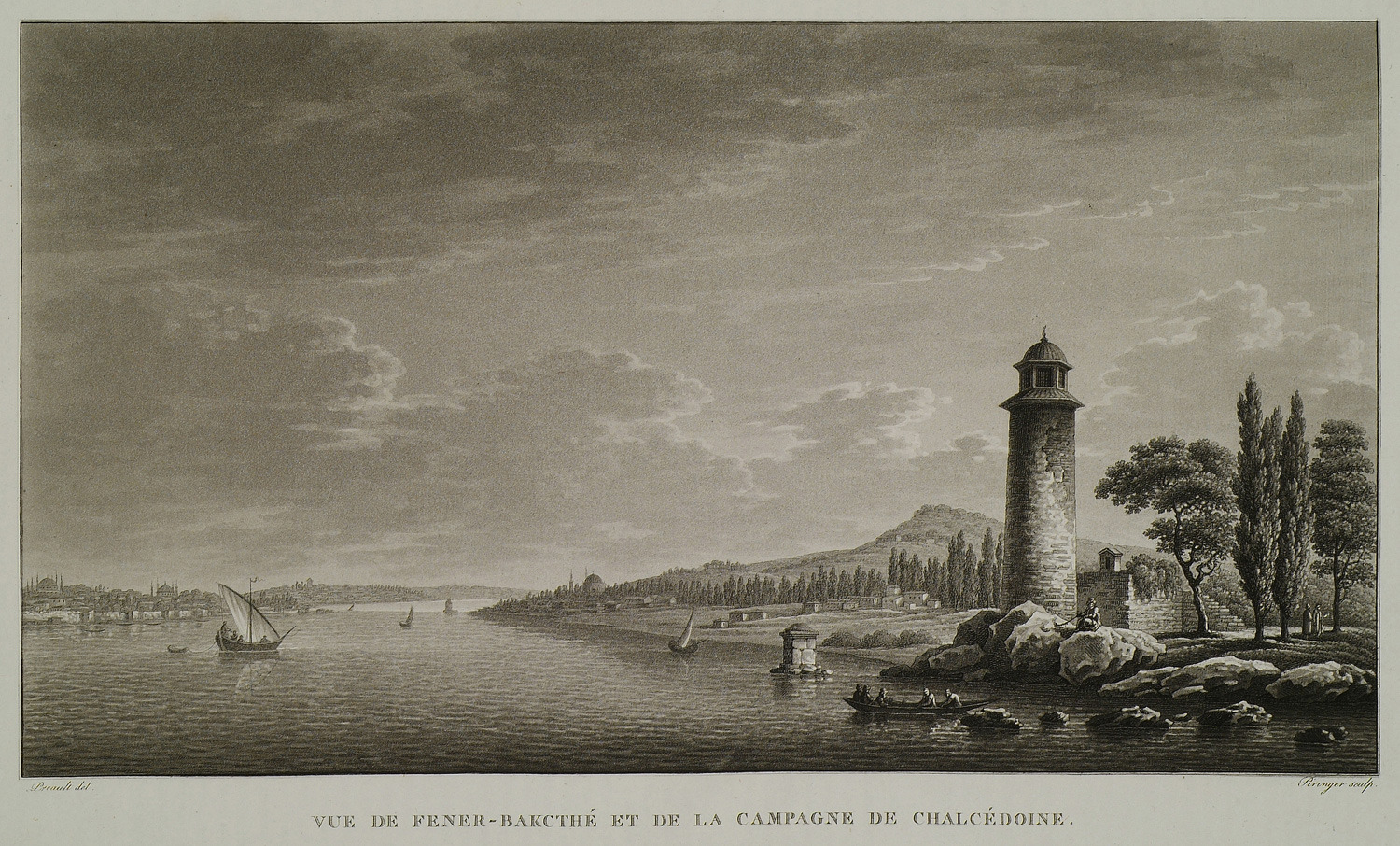
The quarter of Fenerbahçe south of Kadiköy, on the Asian coast of the Bosporus.
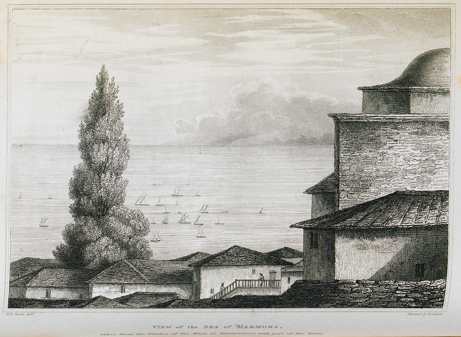
The sea of Marmara seen from the window of author's inn at Tekirdag (Raidestos).
View of the Sea of Marmara and Bosporus.
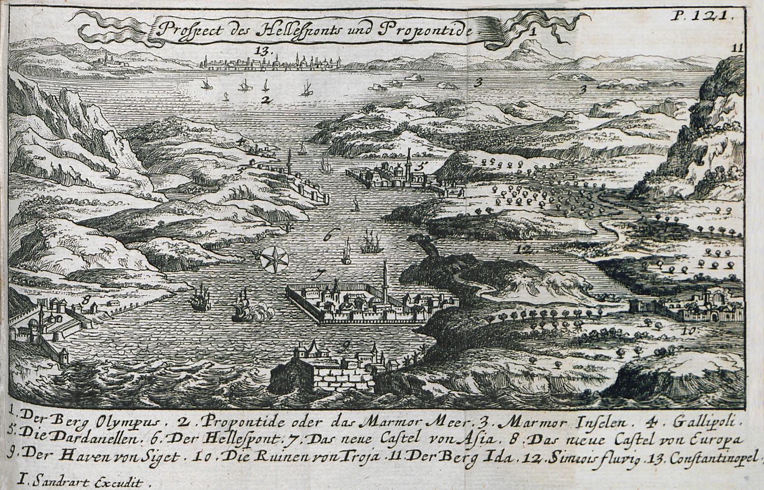
Map of the Dardanelles and the Sea of Marmara: 1. Mount Uludag (Olympus of Mysia). 2. Marmara Sea or Propontis. 3. The islands of Marmara. 4. The position of Gallipoli. 5. Sultaniye castle on the Asian shore of the Dardanelles. 6. The Hellespont. 7,8. The New Fortresses of the Dardanelles. 9. The New Fortresses of the Dardanelles. 10. Ancient remains at the Troad. 11. Mount Ida at the Troad. 12. Simoes river. 13. Istanbul.
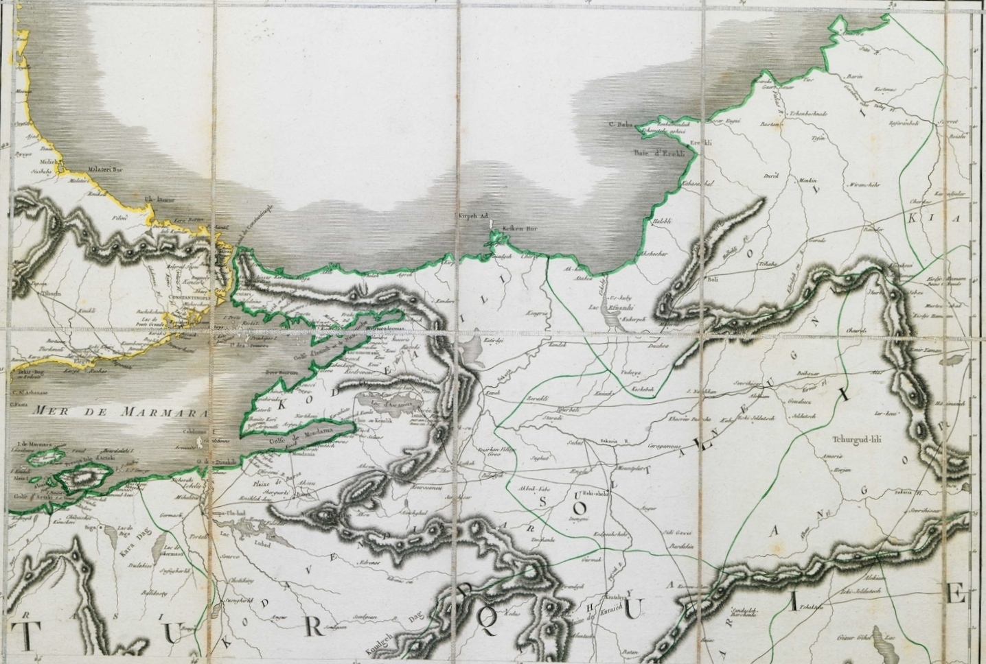
Map of part of eastern Thrace and northwestern Asia Minor, with Istanbul.


