Aetolia and Acarnania (76 Subjects)
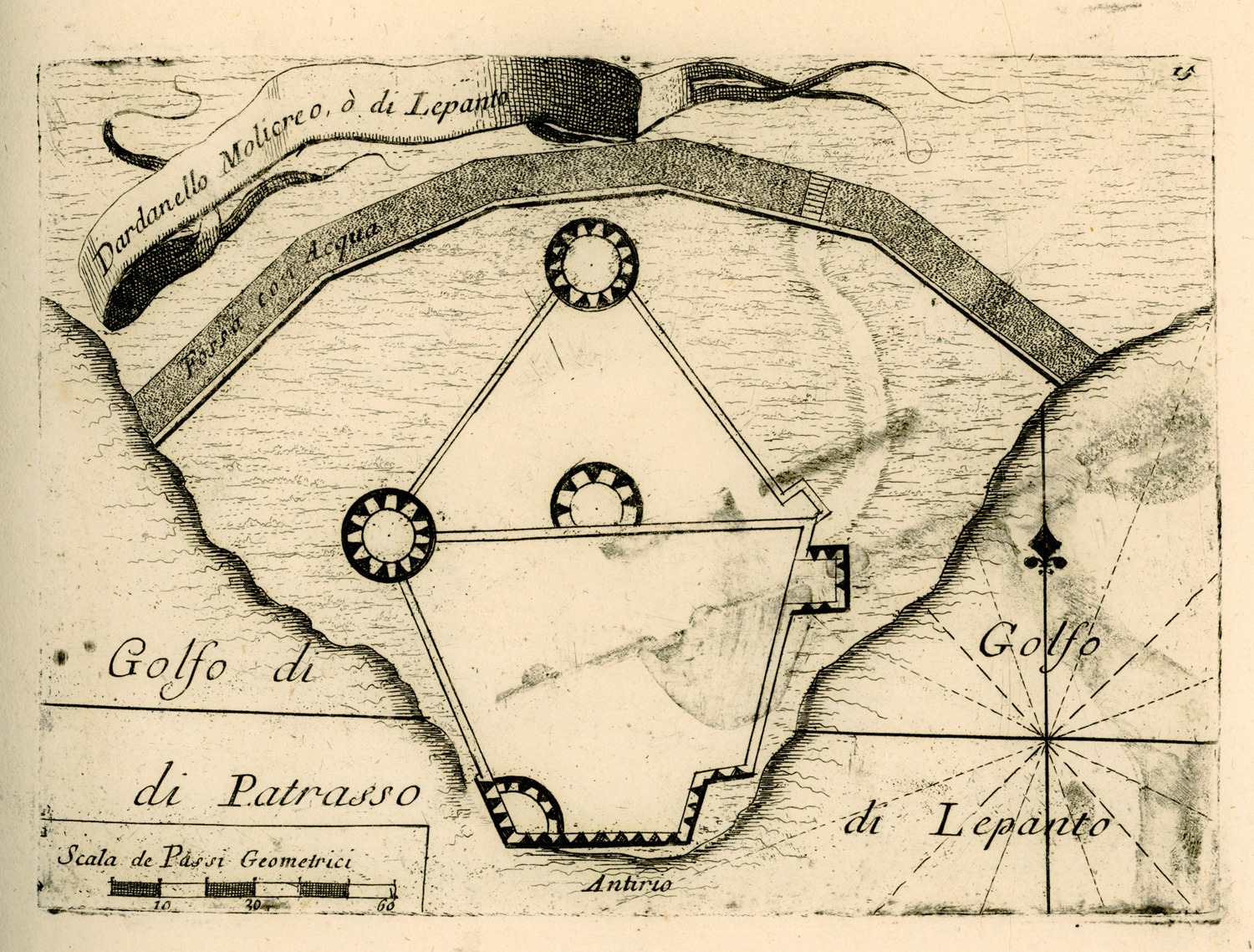
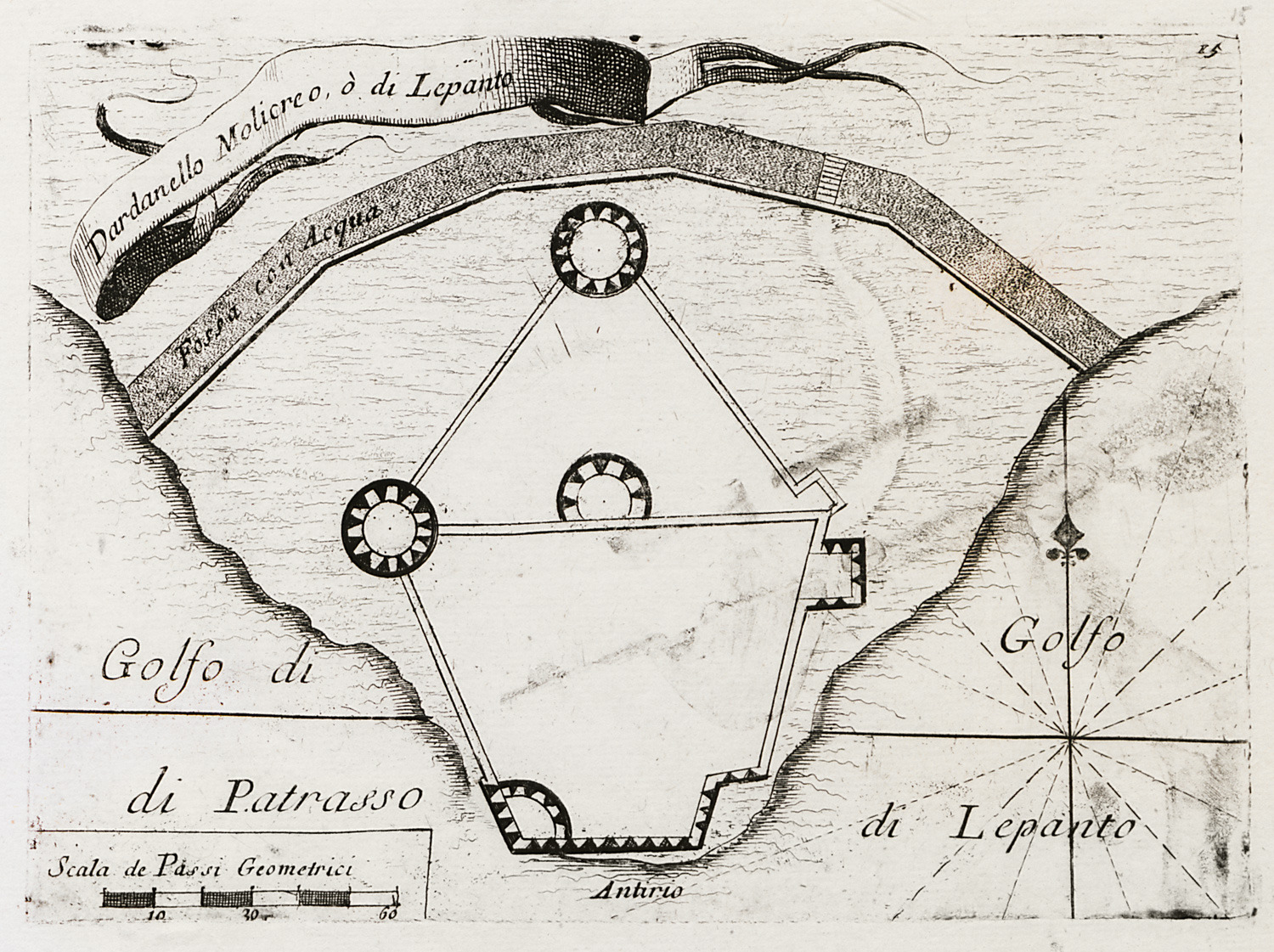
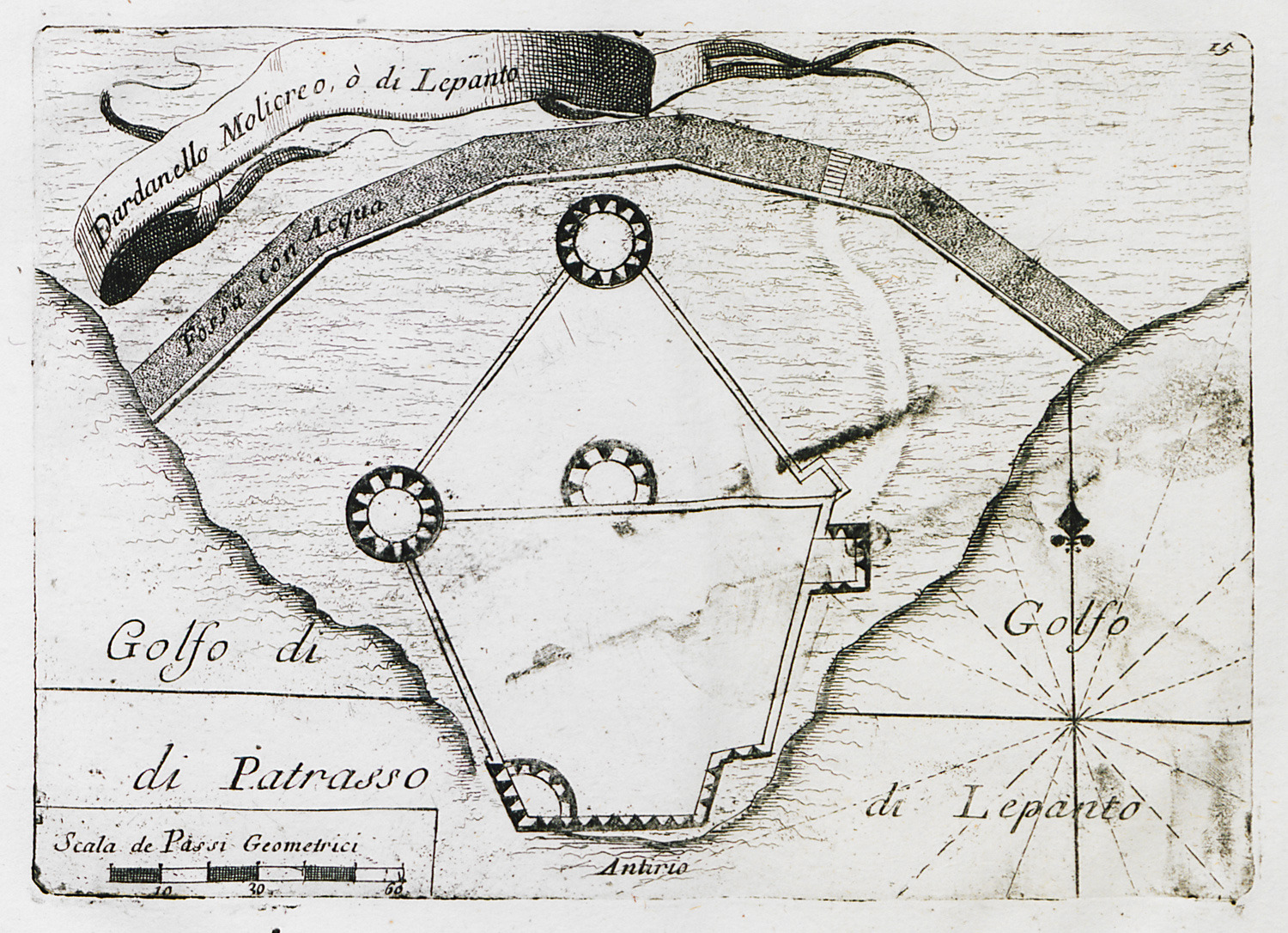
Floor plan of Antirrion fortress.
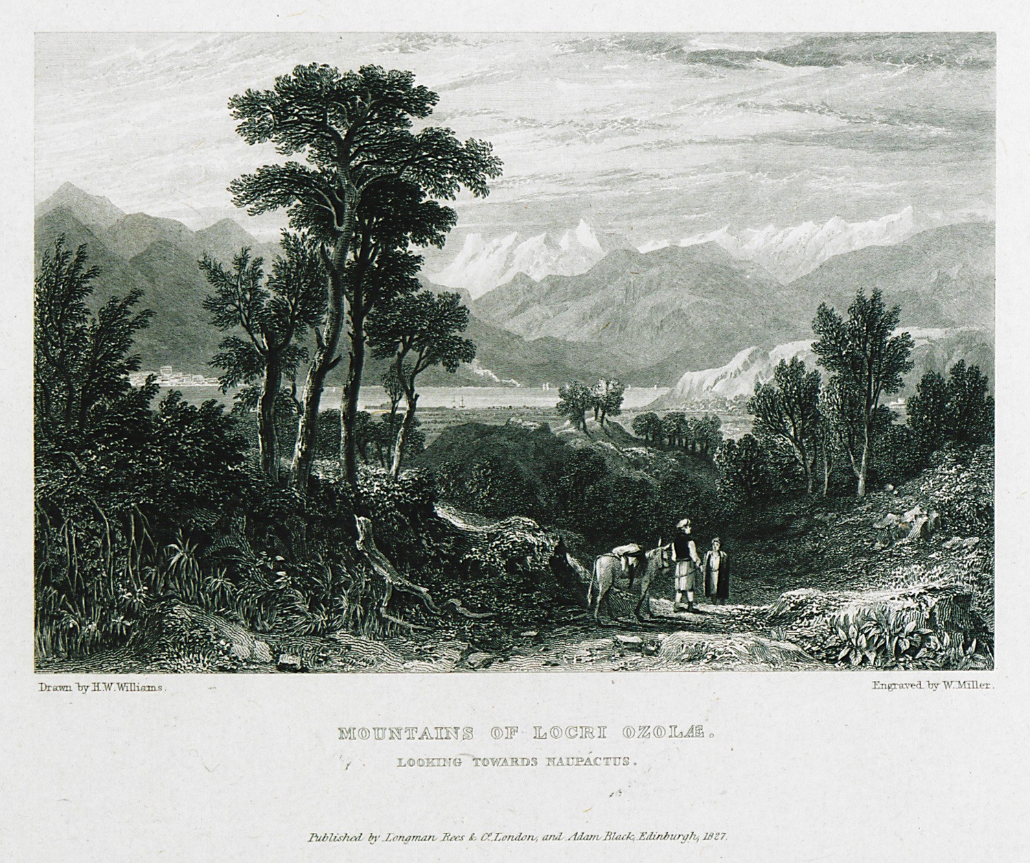
Mountains of Lochri Ozolae, looking towards Naupactus.
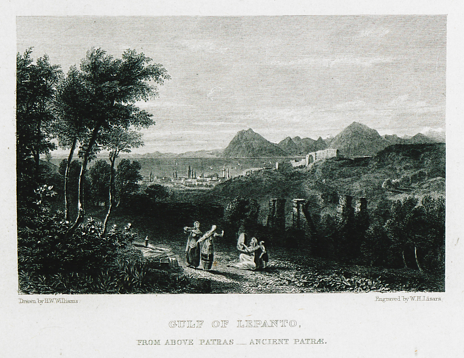
Gulf of Lepanto, from above Patras. Ancient Patrae.
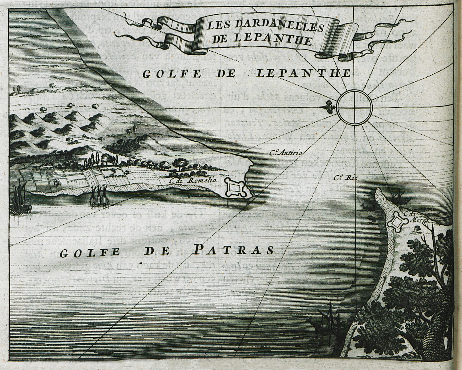
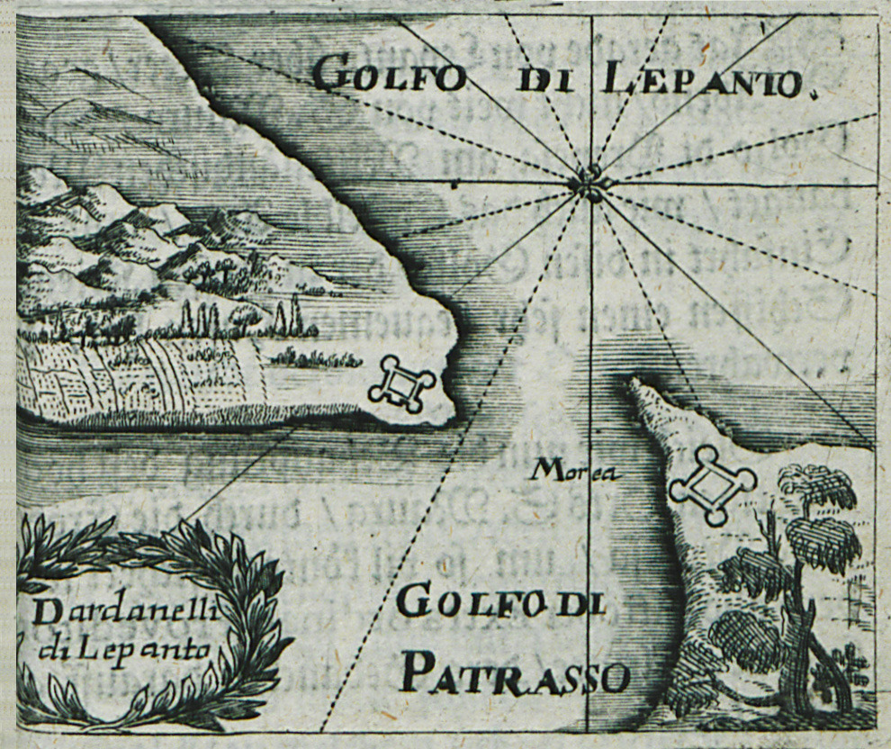
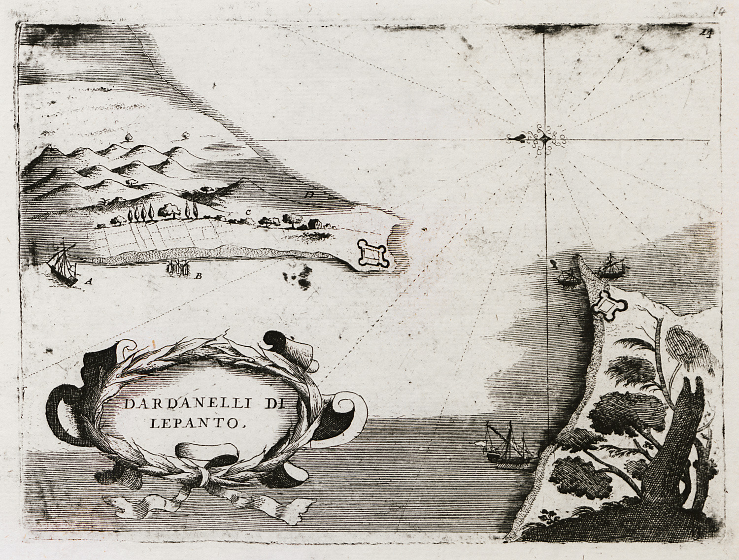
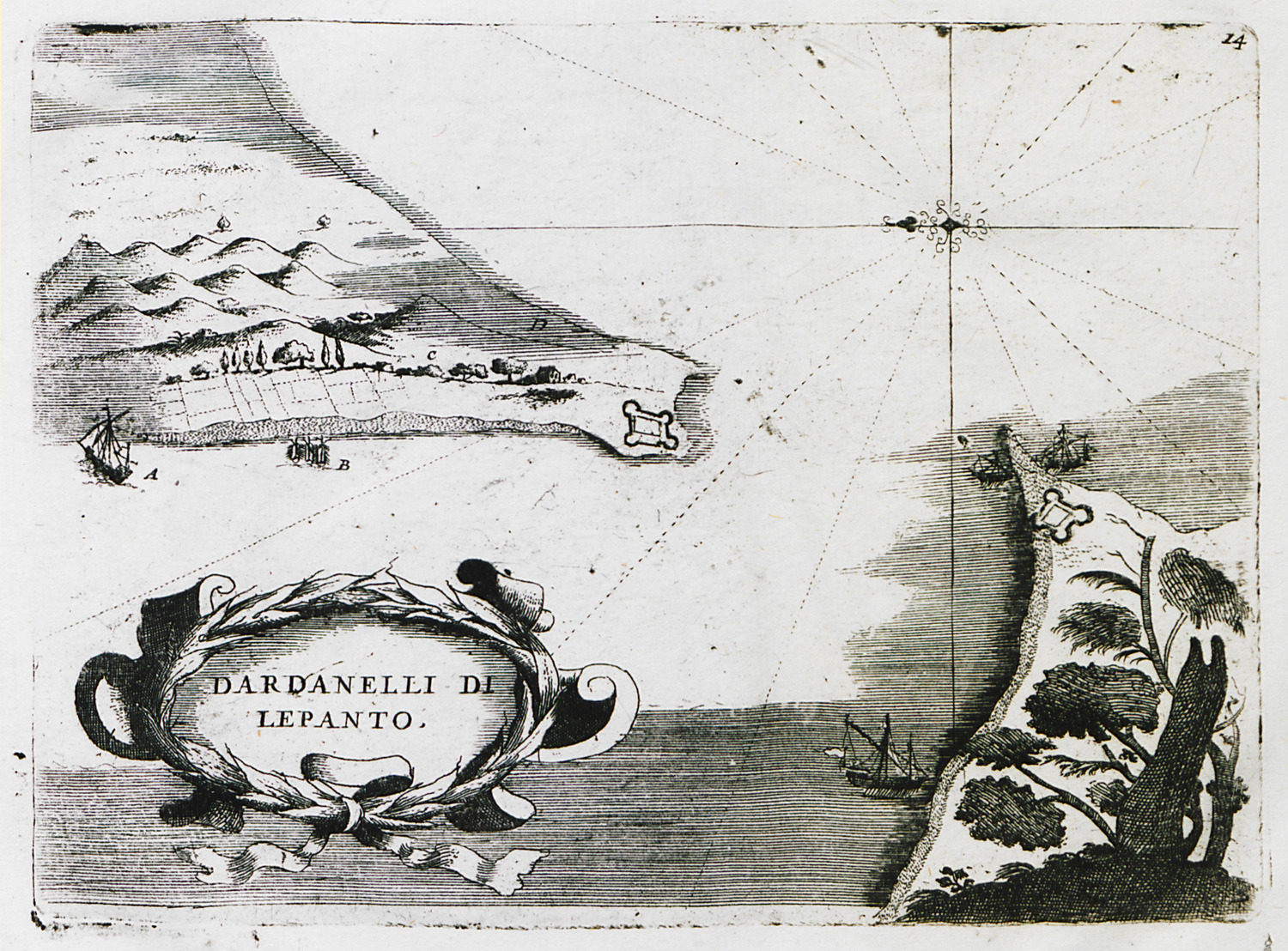
Map of the strait Rio-Antirio
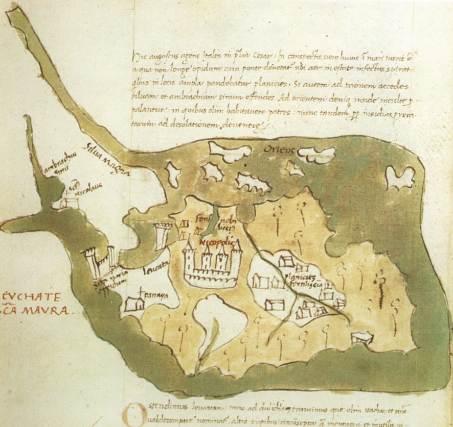
Map of Lefkada, (Gennadius Library).
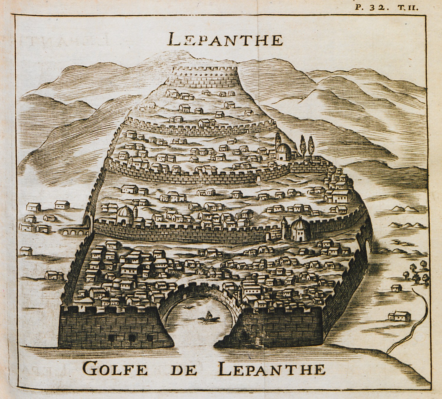
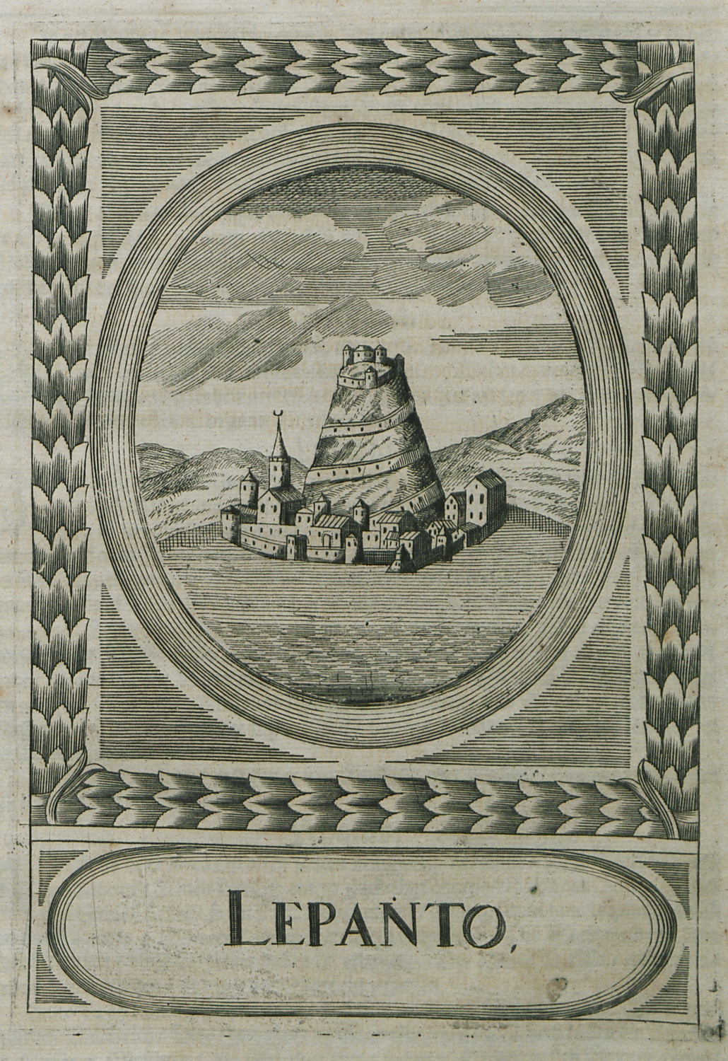
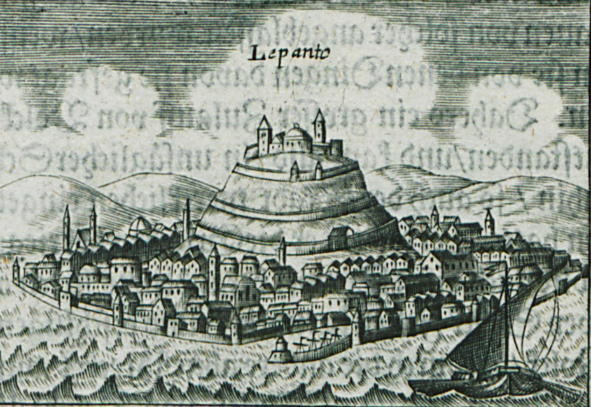
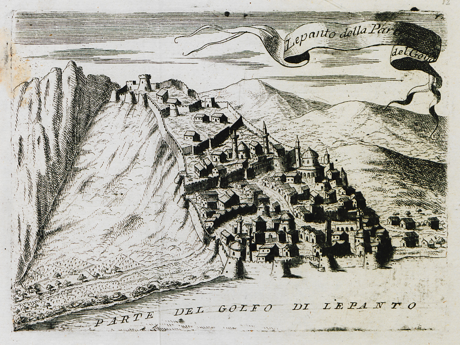
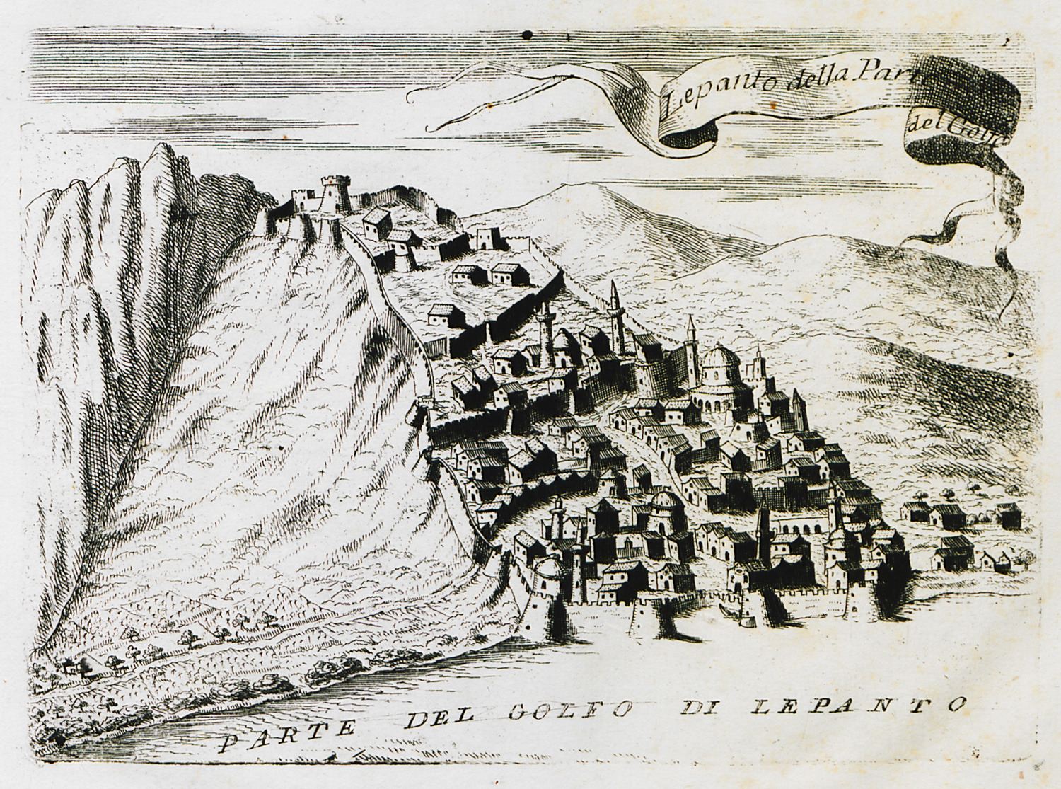
View of Naupactus, Central Greece.
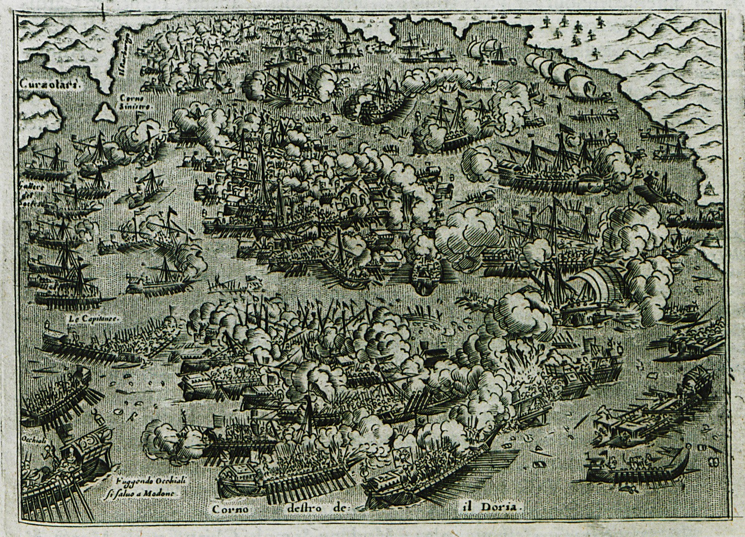
The Battle of Lepanto, 1571. The Ottoman fleet is defeated by the Holy League.
View of Naupactus, Central Greece.
View of the Castle of Naupactus.
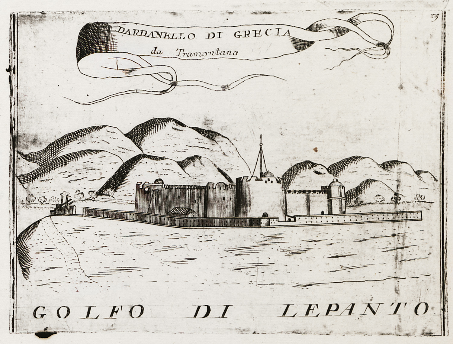
View of the strait of Rio and Antirrion.
View of Naupactus from the sea.
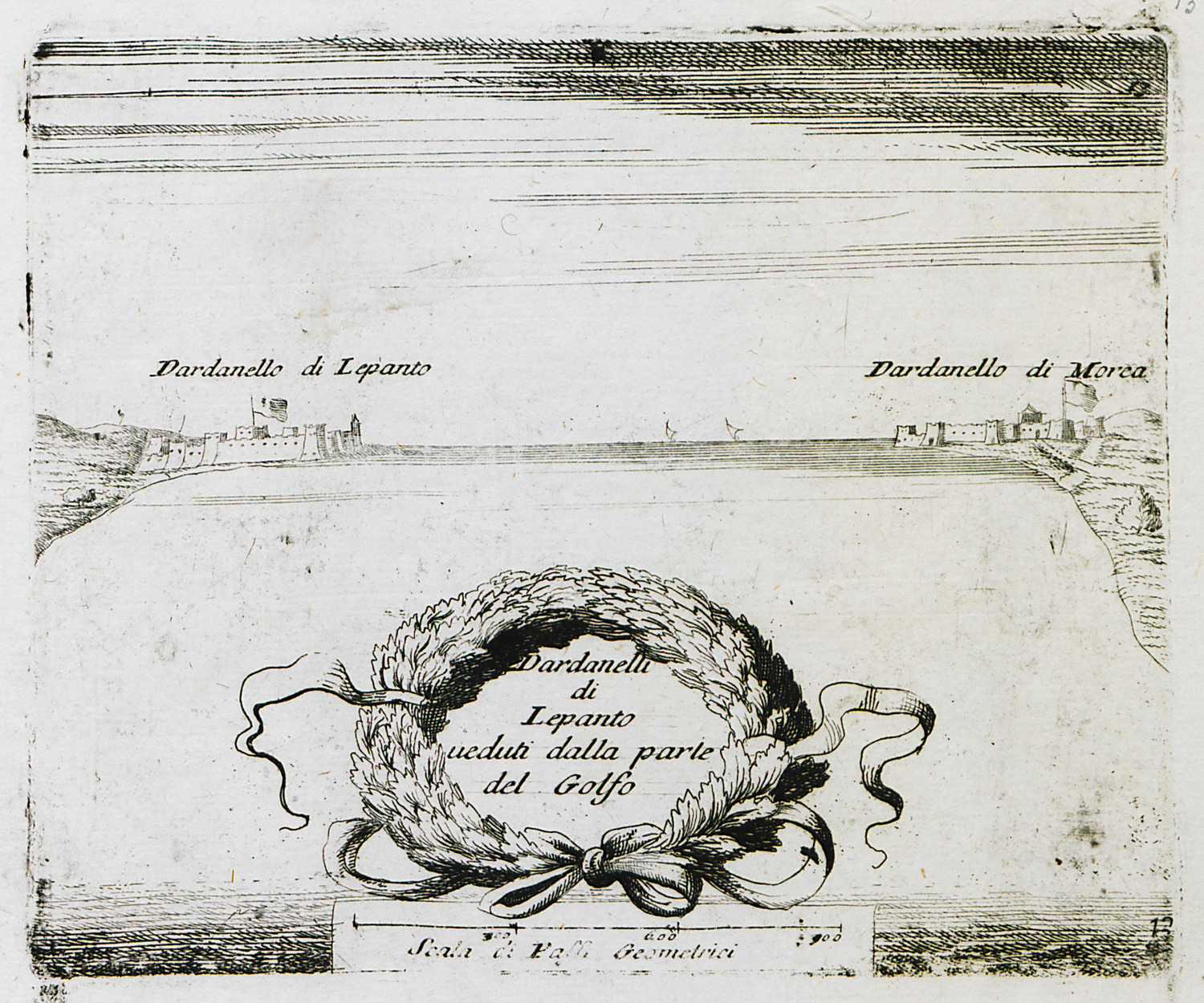
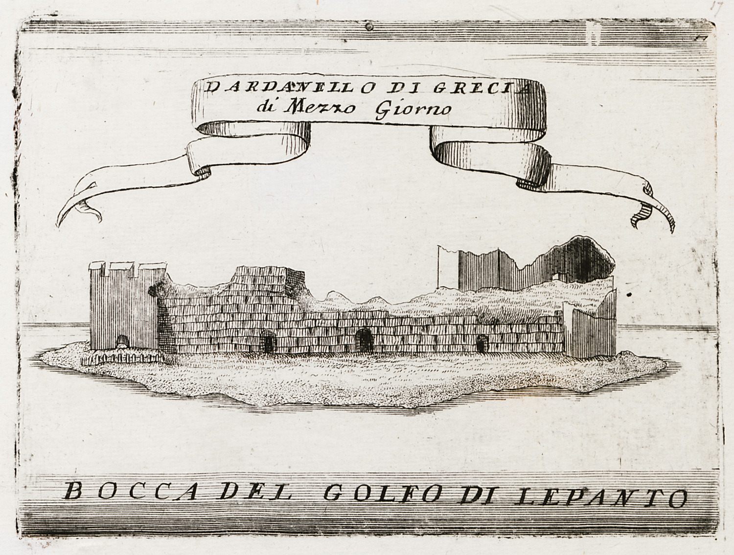
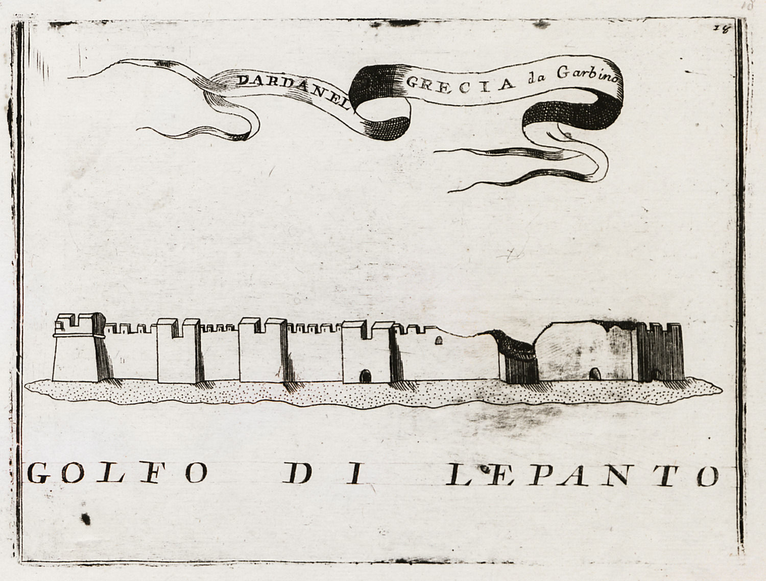
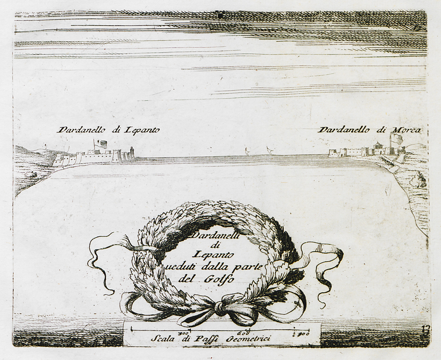
The strait of Rio – Antirrion, with views of Rio and Antirrio fortresses from the bay of Naupactus.
The strait of Rio – Antirrion, with plans of Rio and Antirrio fortresses.
Plan of Antirrion fortress.
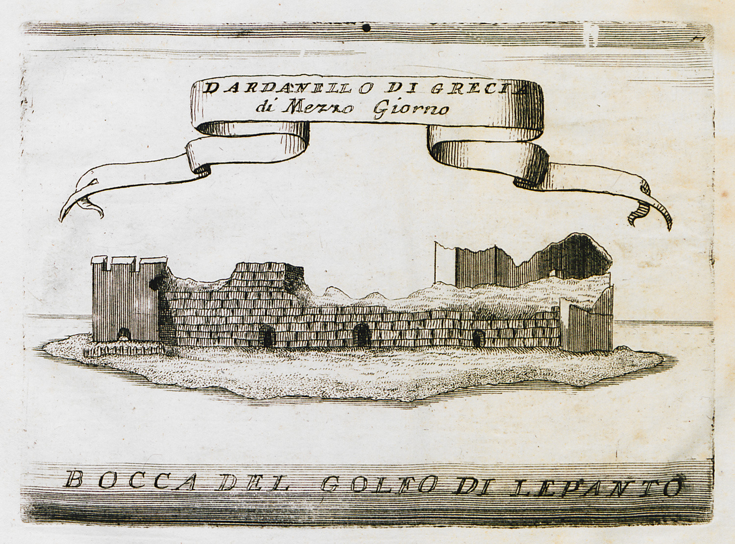
The fortress of Antirrion from the east.
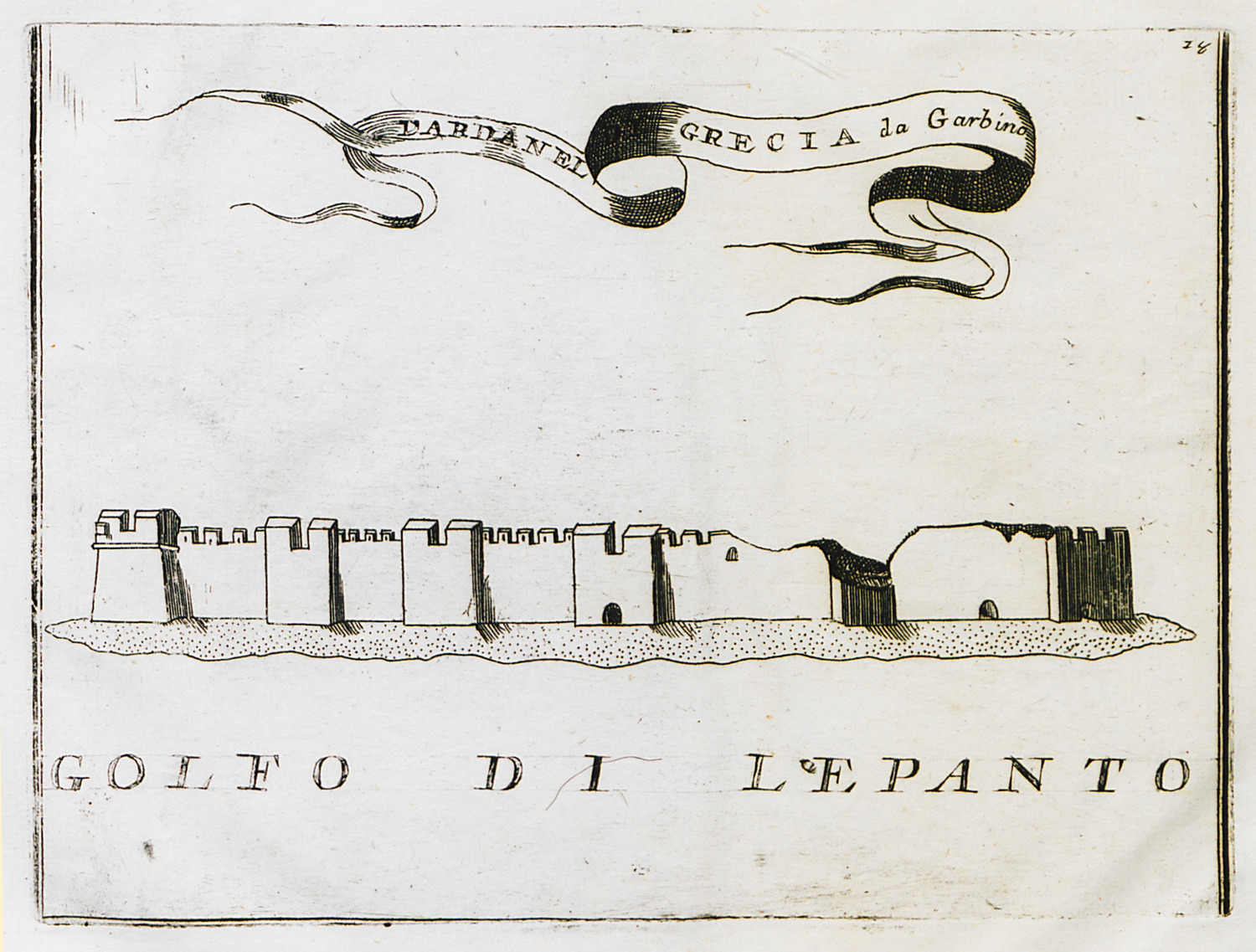
The fortress of Antirrion from the southwest.
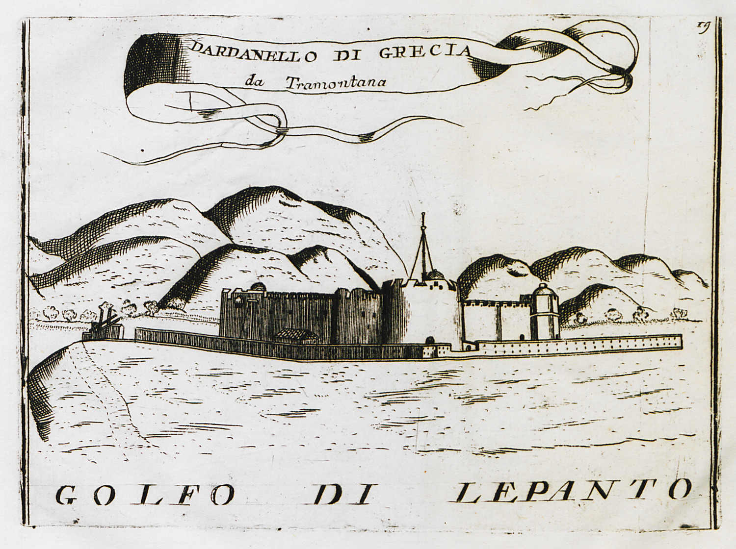
The fortress of Antirrion from the north.
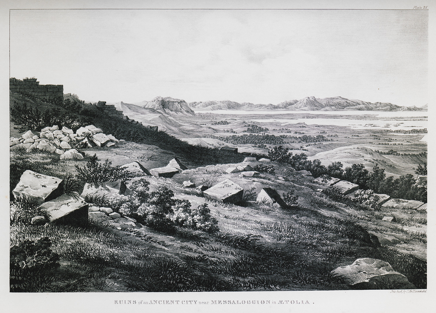
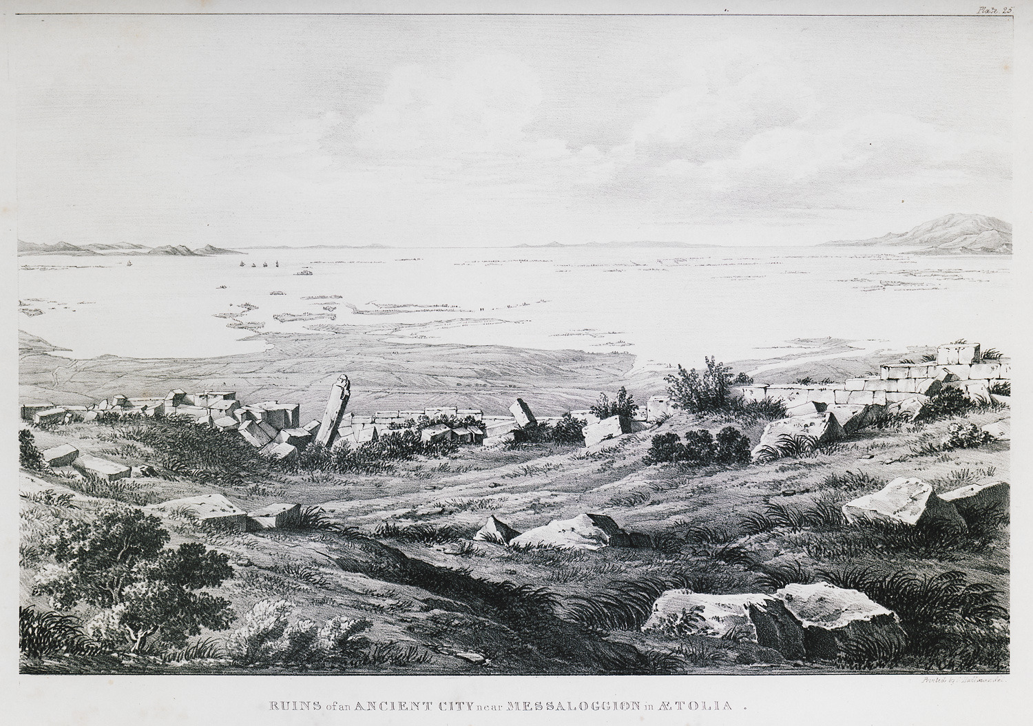
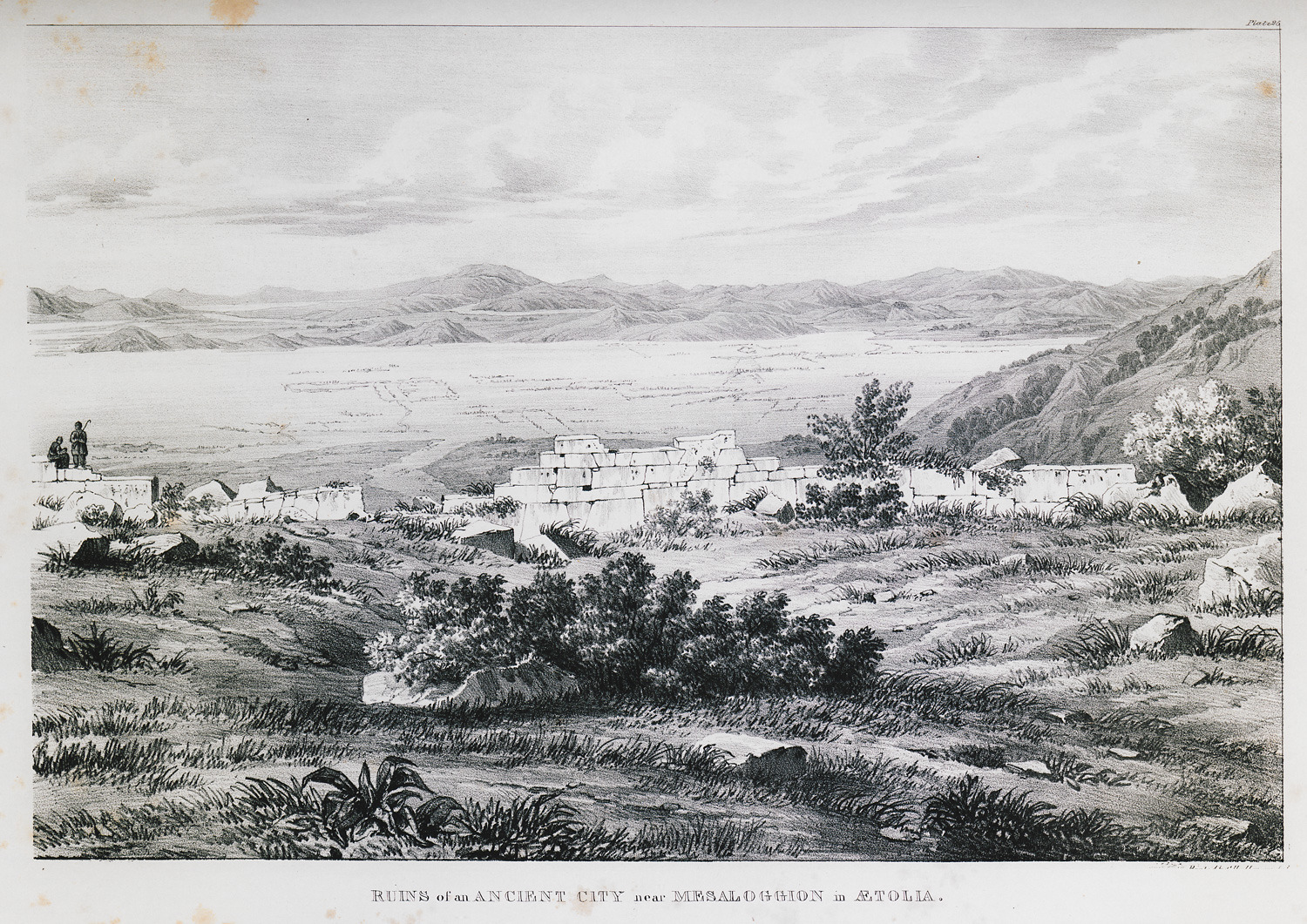
Ruins of the fortifications of Nea Plevrona, known as Kyra Rini castle.
Ruins of the fortifications of Nea Plevrona, also known as Kyra Rini castle.
Ruins of the fortifications of Nea Plevrona, also known as Kyra Rini castle.
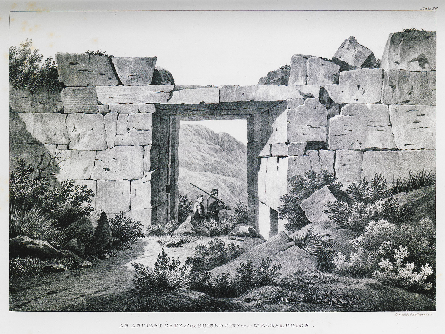
Gate, most probably part of a gallery, at the fortifications of Nea Plevrona, also known as Kyra Rini castle.
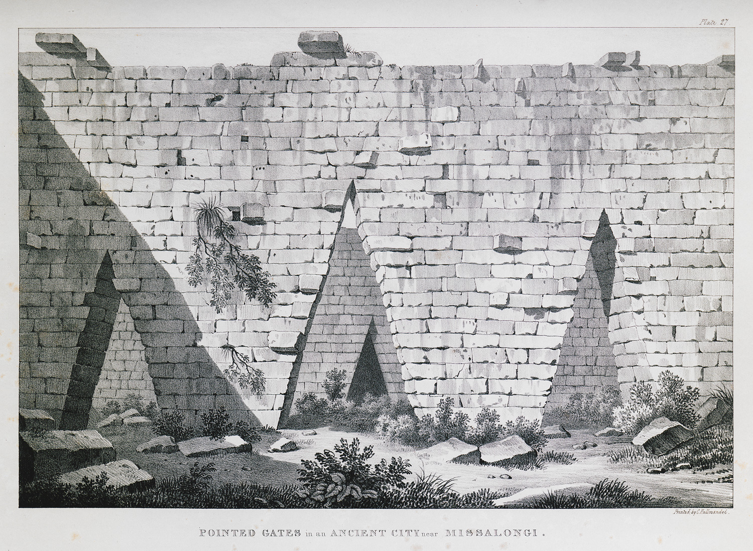
Pointed gates, most probably parts of a gallery, at the fortifications of Nea Plevrona, also known as Kyra Rini castle.
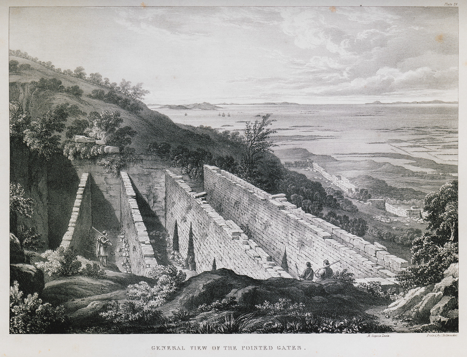
Panoramic view of the pointed gates, which were most probably parts of a gallery, at the fortifications of Nea Plevrona, also known as Kyra Rini castle.


