Boats and ships (1778 Subjects)
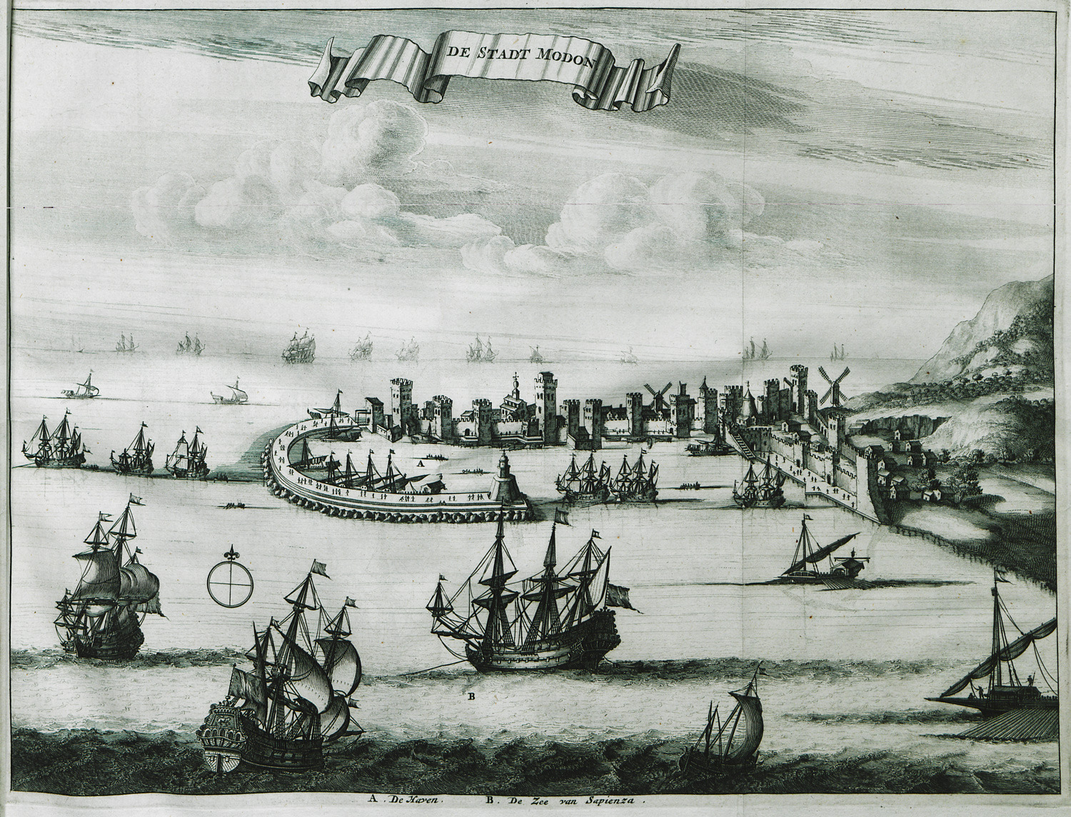
View of Methoni.
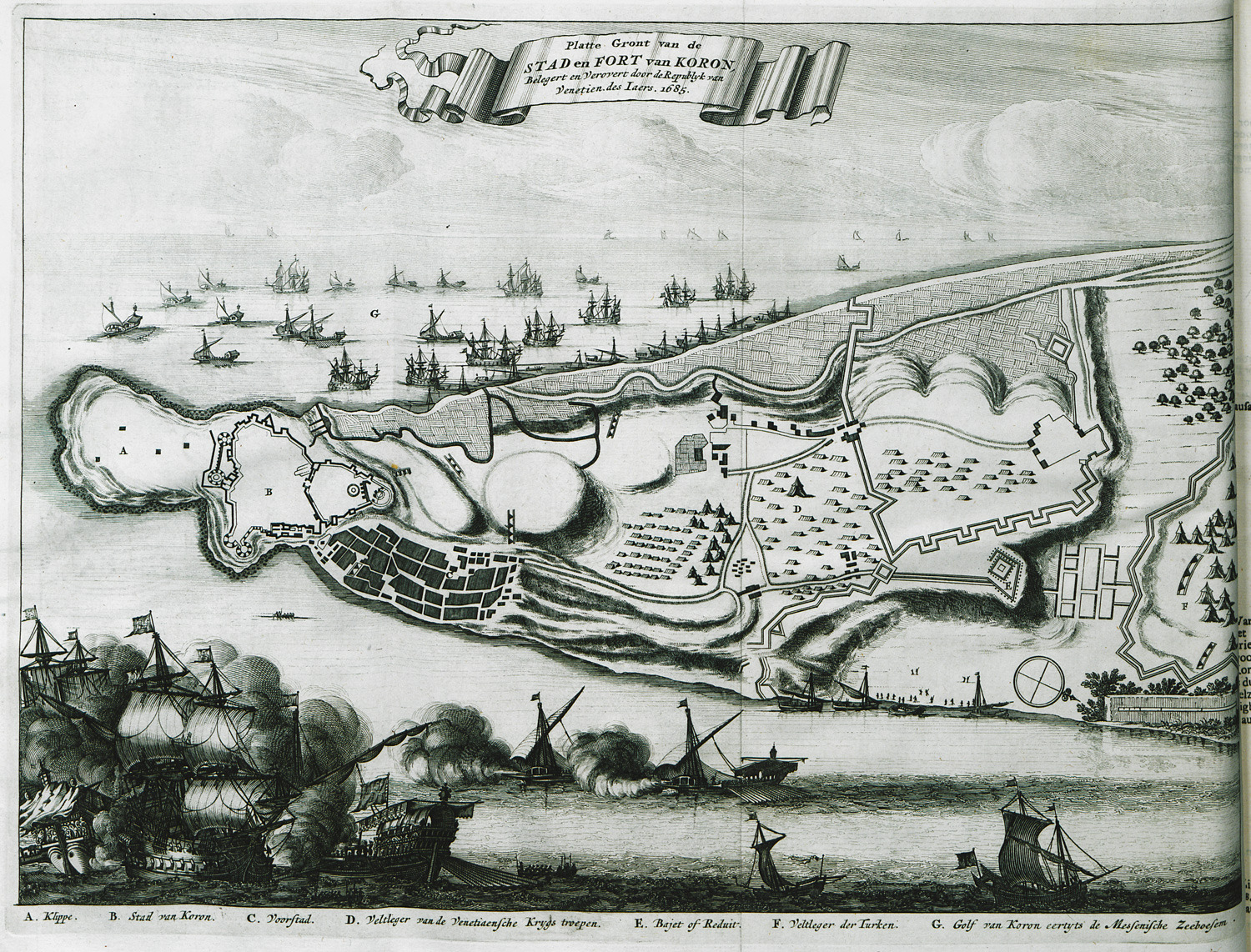
View of the city ans fortress of Koroni, with reference to the conquest of the city by the Venetians during the sixth Ottoman-Venetian War.
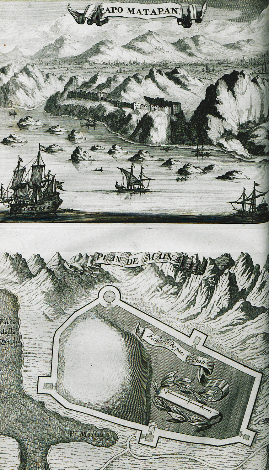
Cape Matapan. Plan of the Castle of Maini.
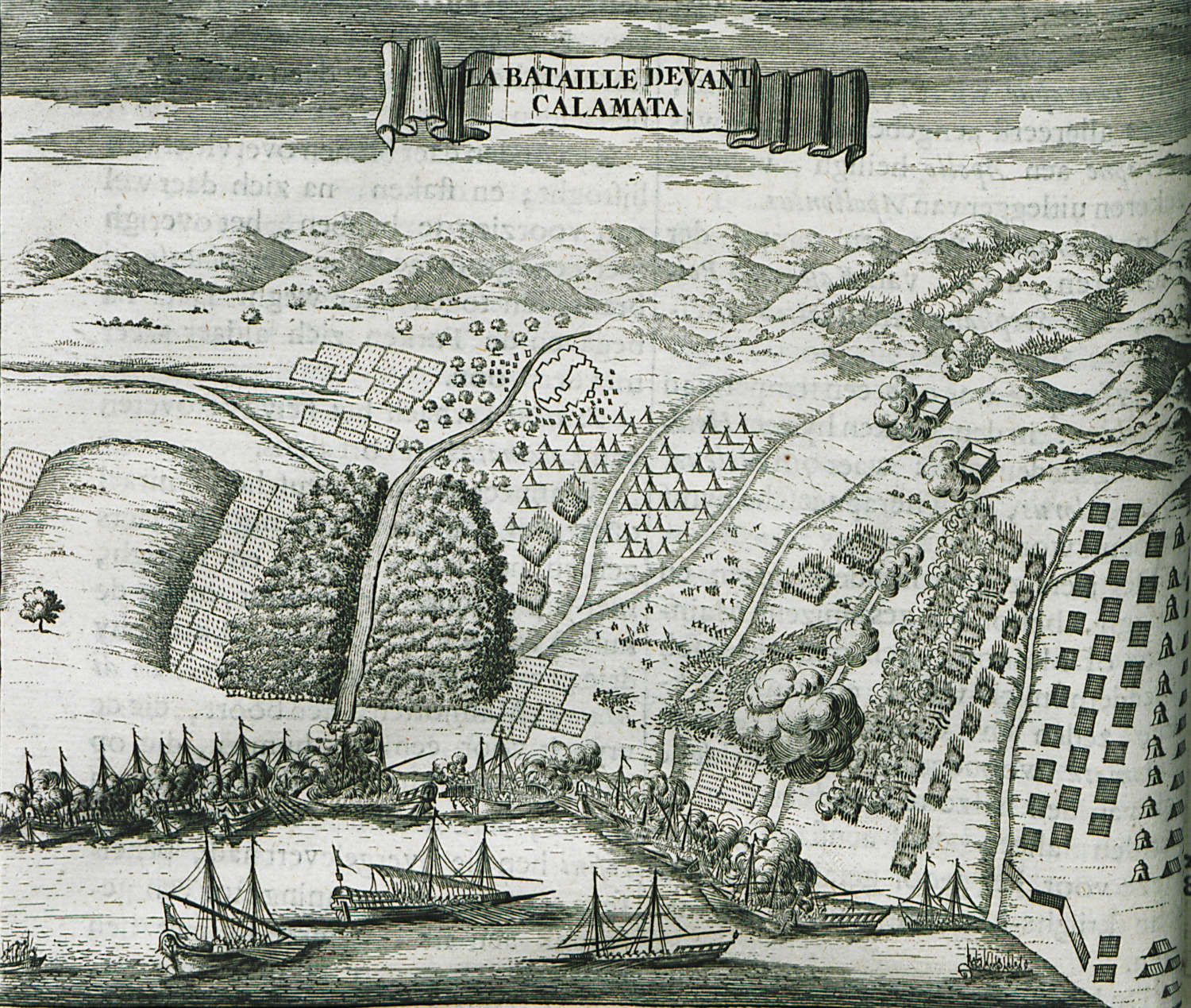
Military plans of the battle of Kalamata (1685), between the Venetians and the Ottomans.
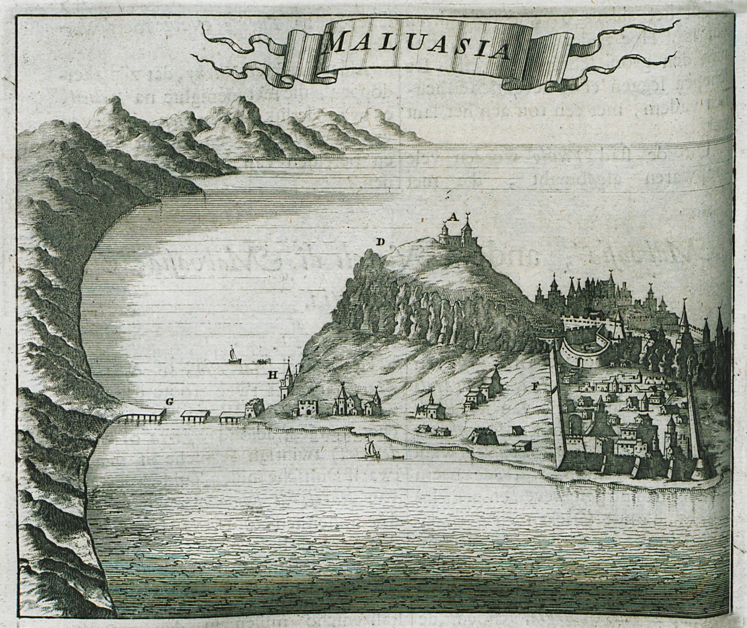
View of Monemvasia.
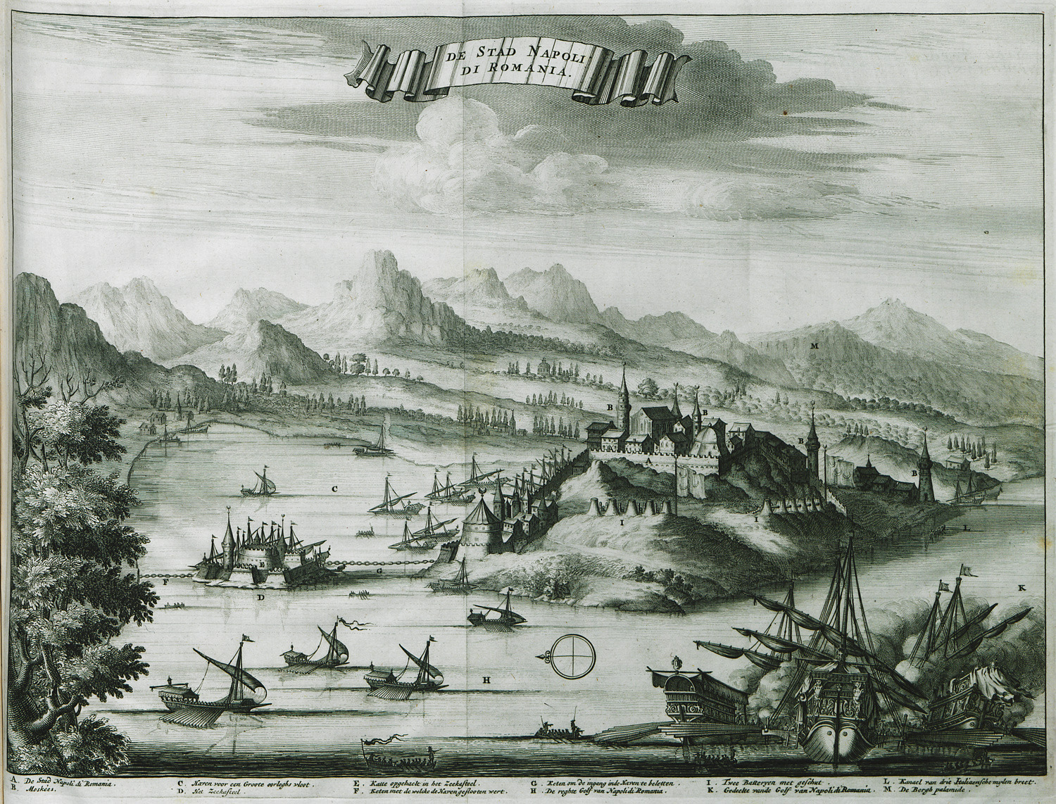
View of Nafplio.
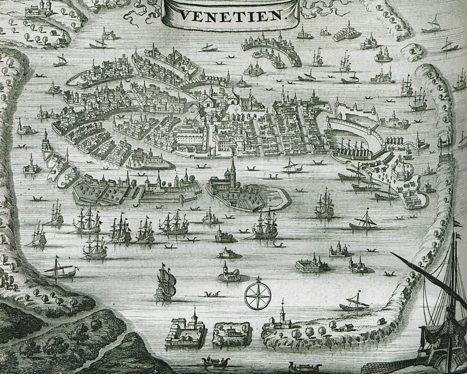
Map and view of Venice.
Map of the port of Hvar, Coratia.
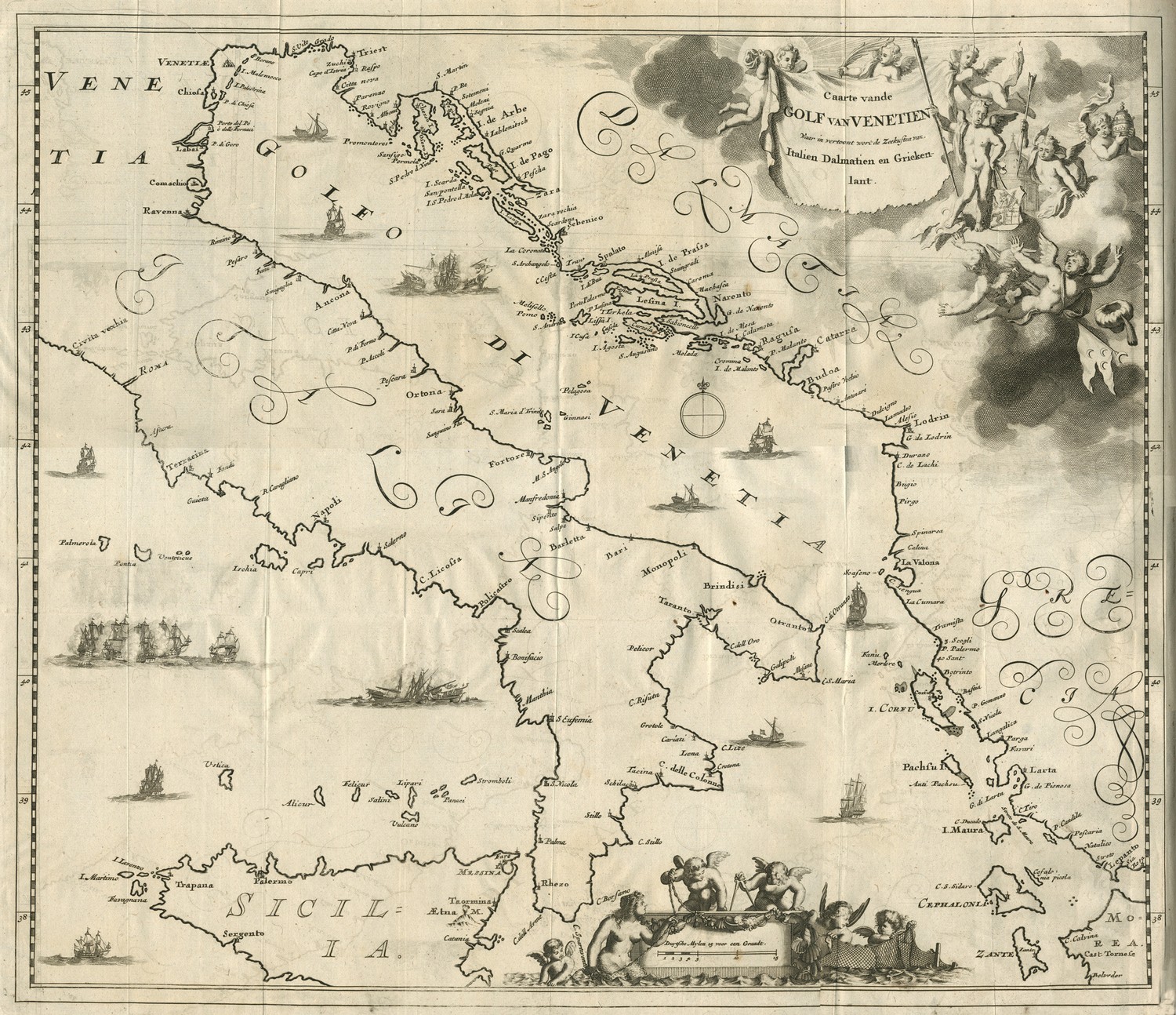
Map of the Adriatic Sea, with the shores of Italy, Dalmatia and Greece, and reference to the victories of Venice during the sixth Ottoman-Venetian War.
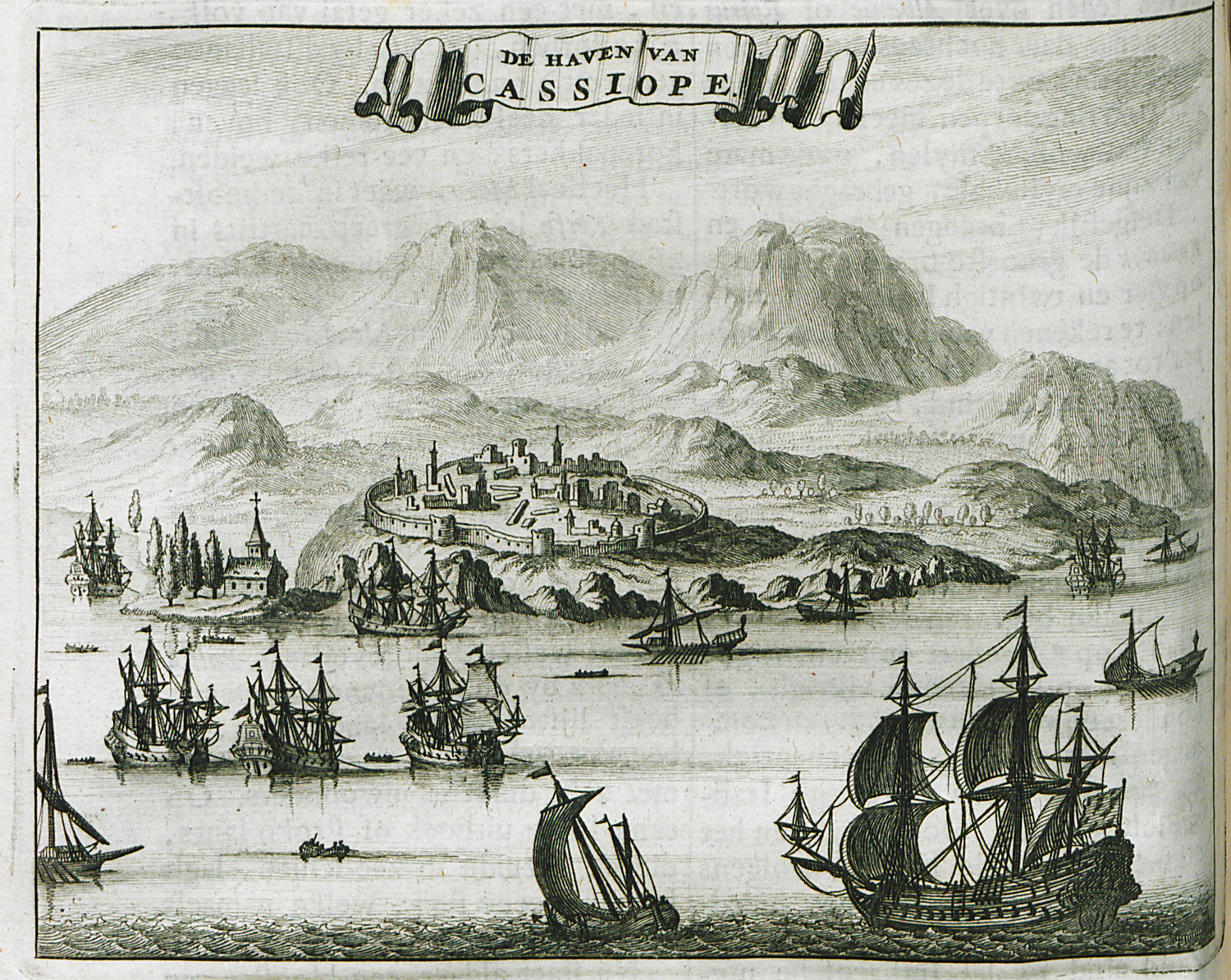
Map of Cassope.
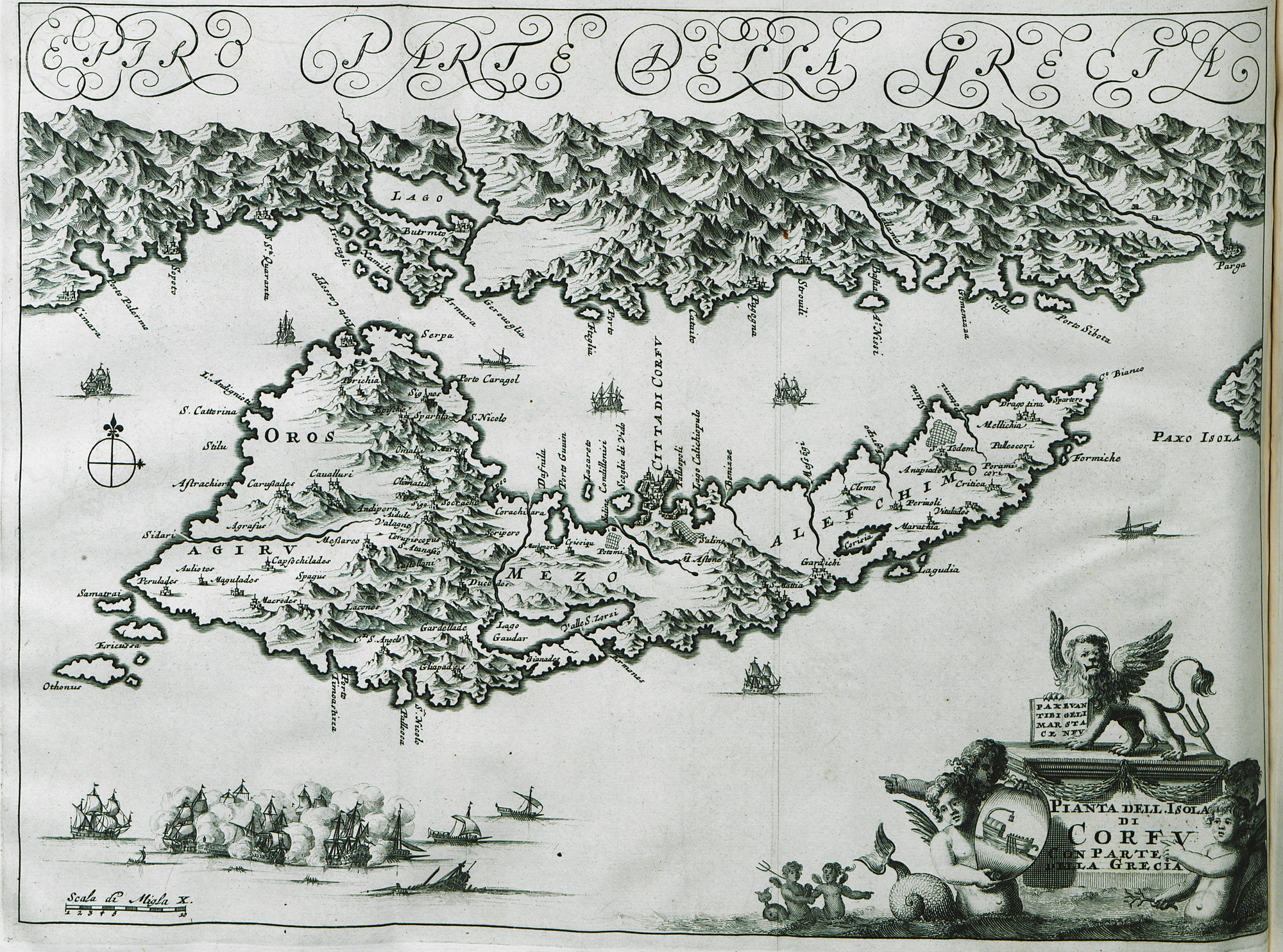
Map of Corfu and the adjacent shore.
Map of the city of Corfu with Palaio and Neo Frourio.
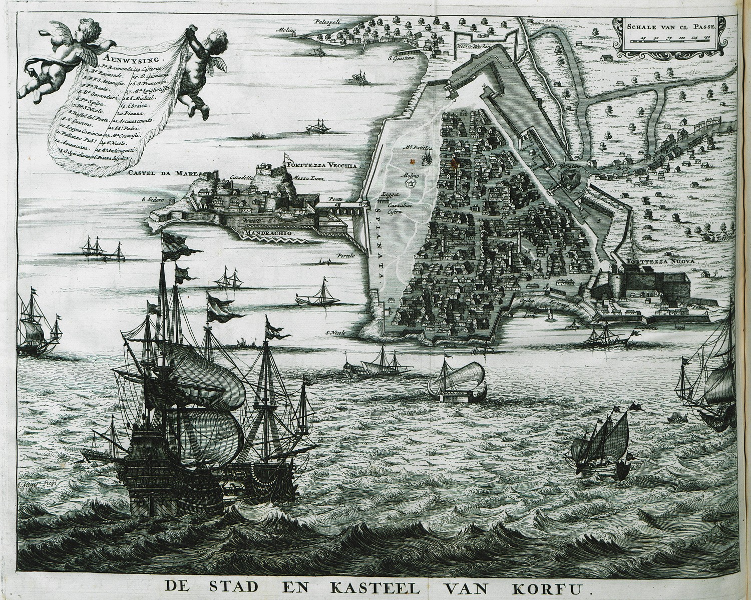
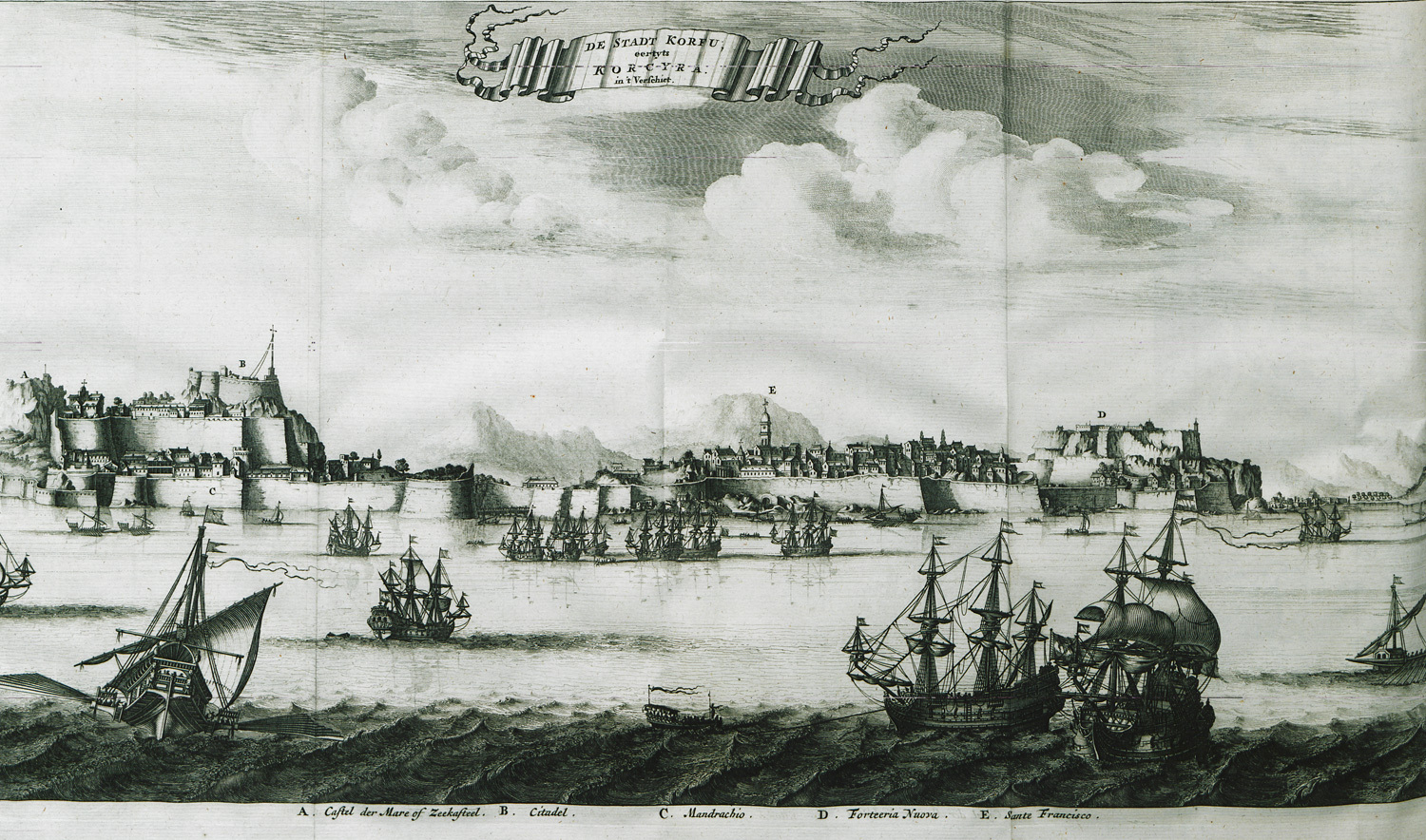
View of the city of Corfu with Palaio and Neo Frourio.
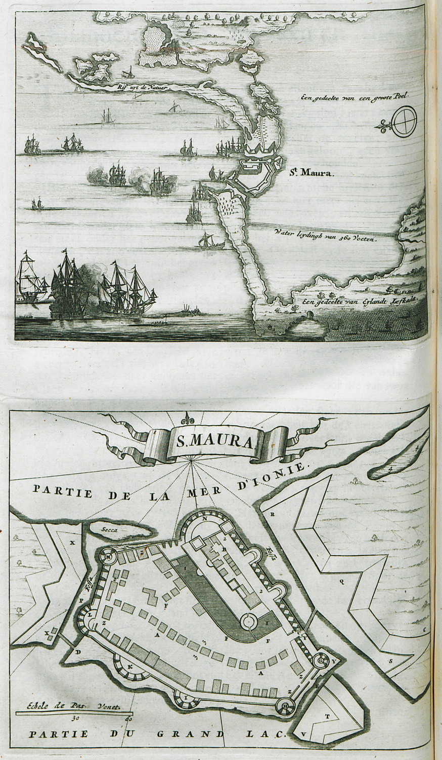
Map of the Strait of Drepano, together with plan of the Castle of Saint Maura on Lefkada.
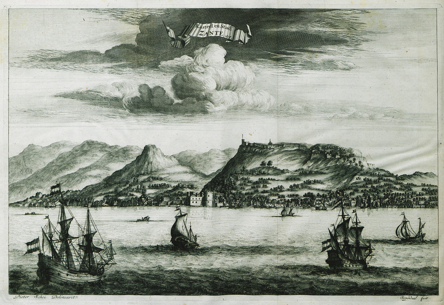
View of the city of Zakynthos and its castle.
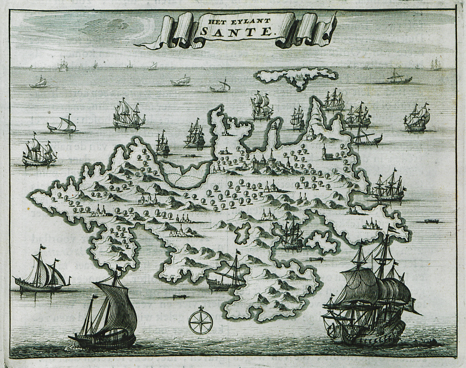
Map of Zakynthos.
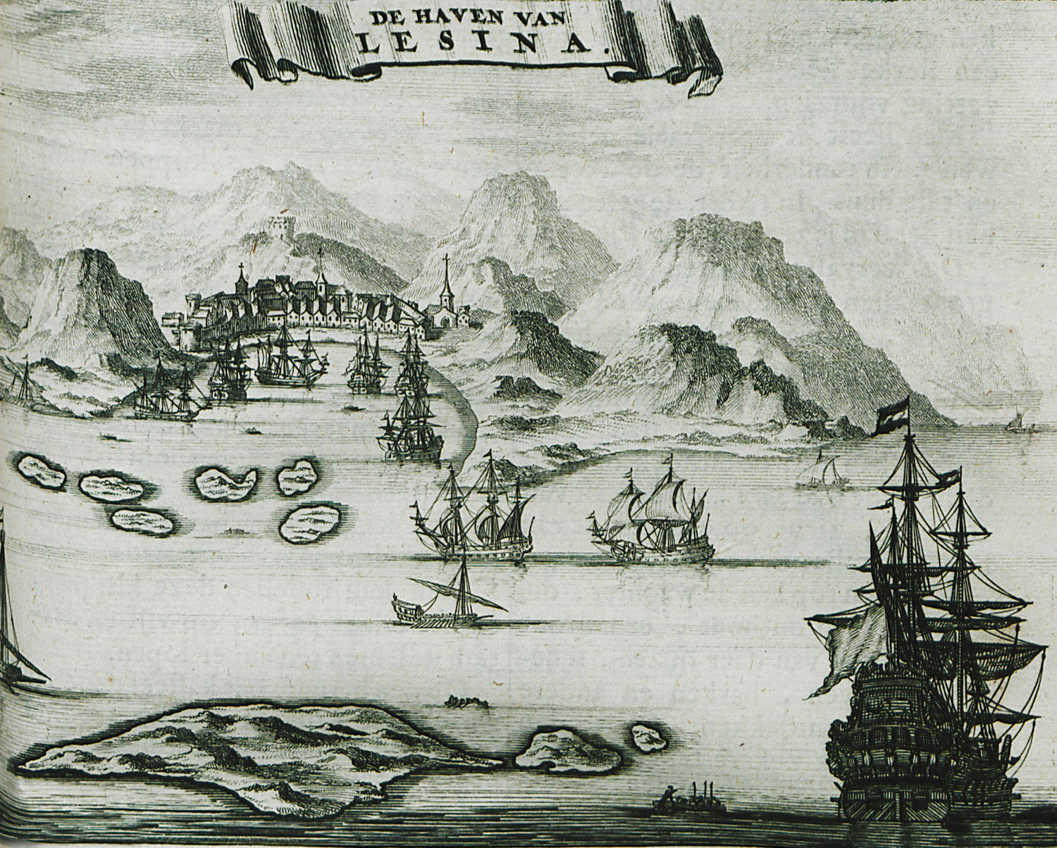
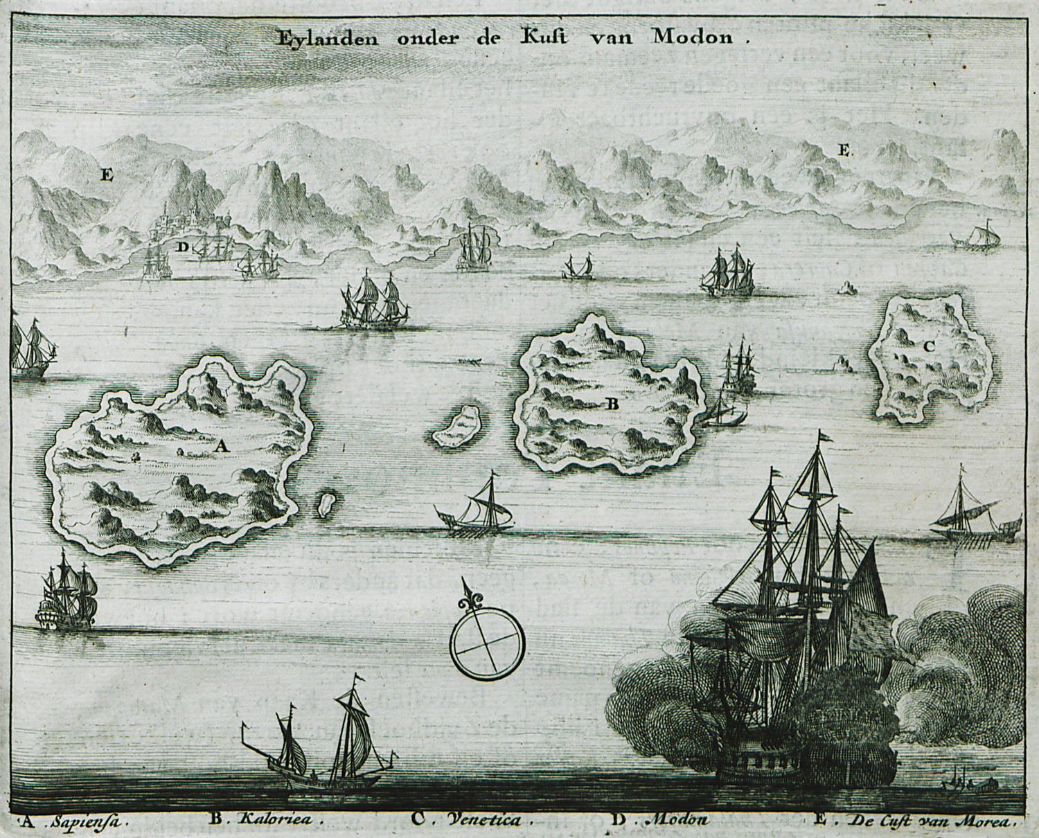
The islands Messenian Oinousses: Sapienza island, Schiza island and Venetico island.
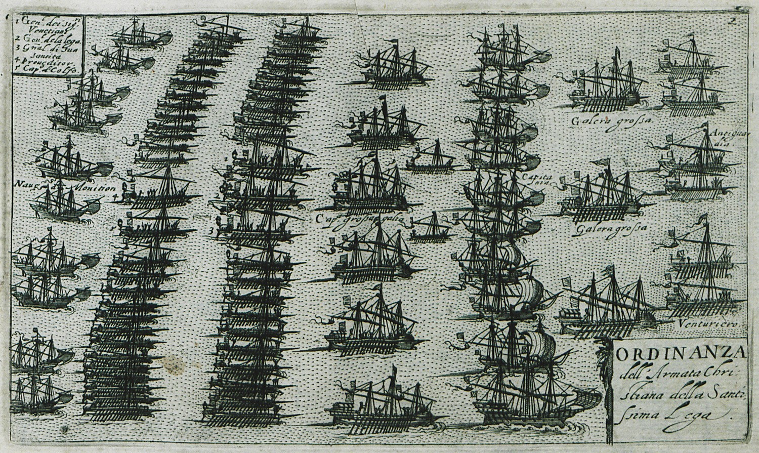
The disposiition of the Holy League fleet during the Battle of Lepanto (1571).
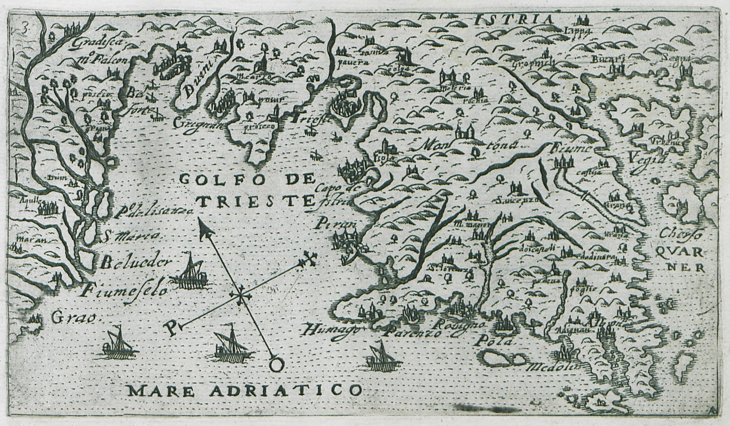
Map of the bay of Trieste.
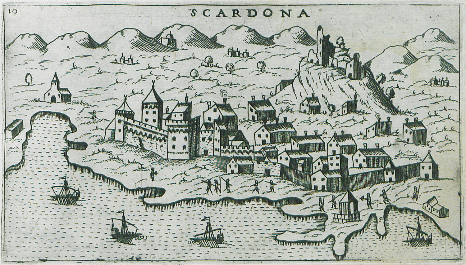
Map of Skradin (Scardona in Italian) in Croatia.
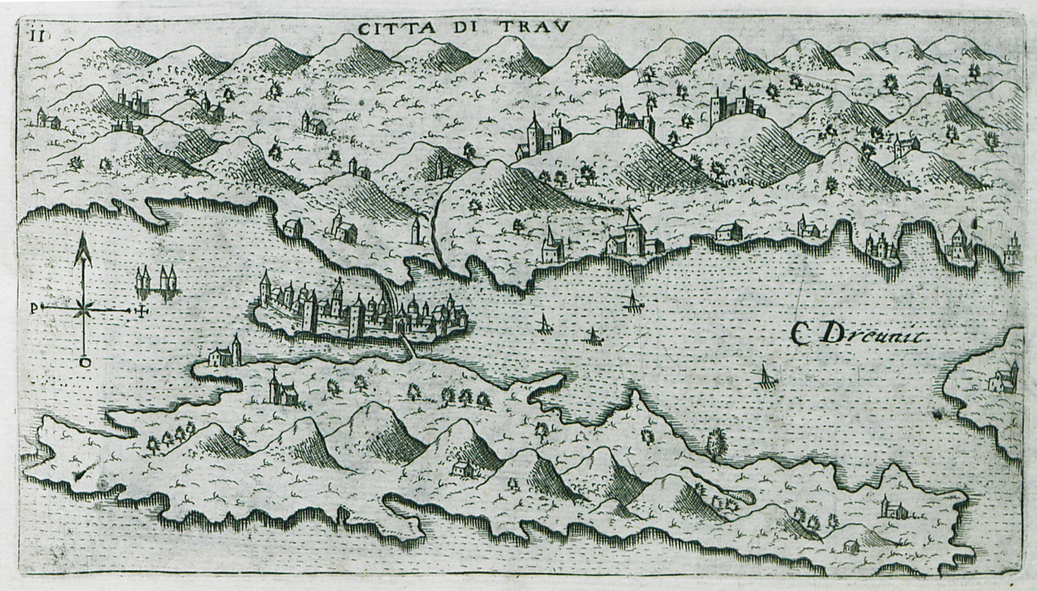
Map of Trogir in Croatia.
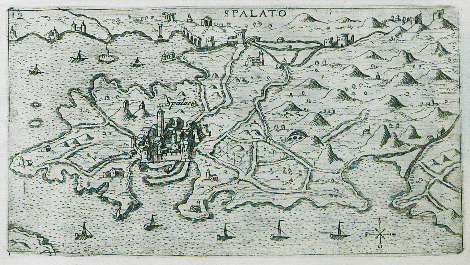
Map of Split in Croatia.
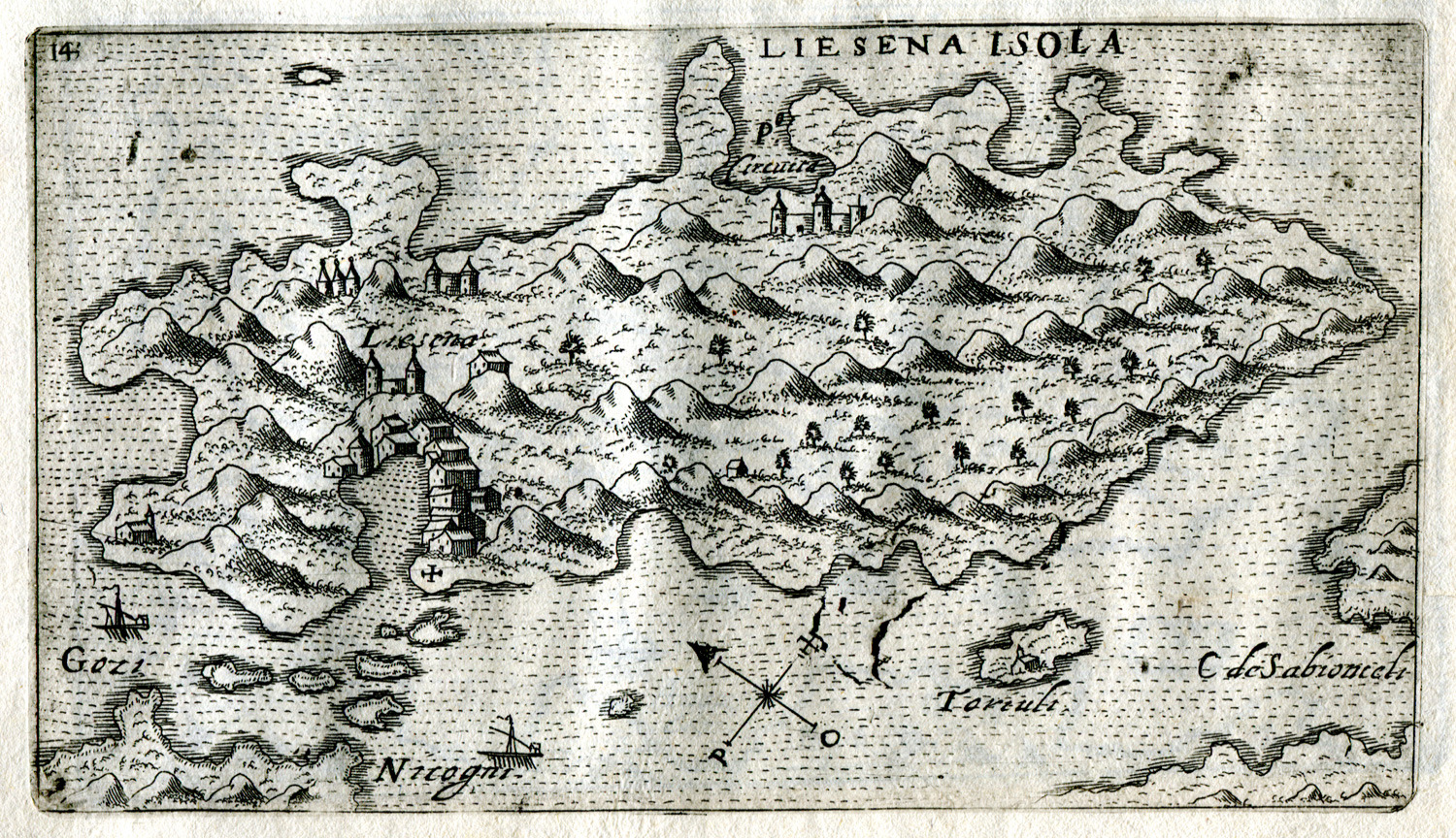
Map of Hvar island in Croatia.
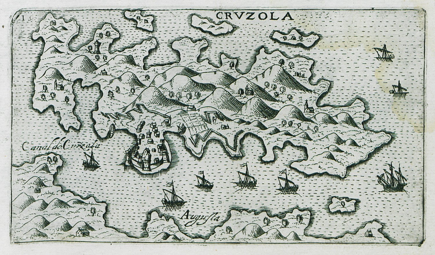
Map of Korcula in Croatia.
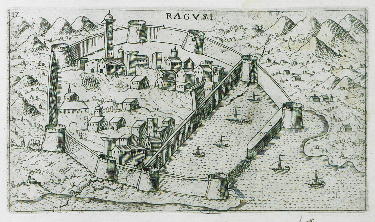
View of Dubrovnik (Ragusa) in Croatia.
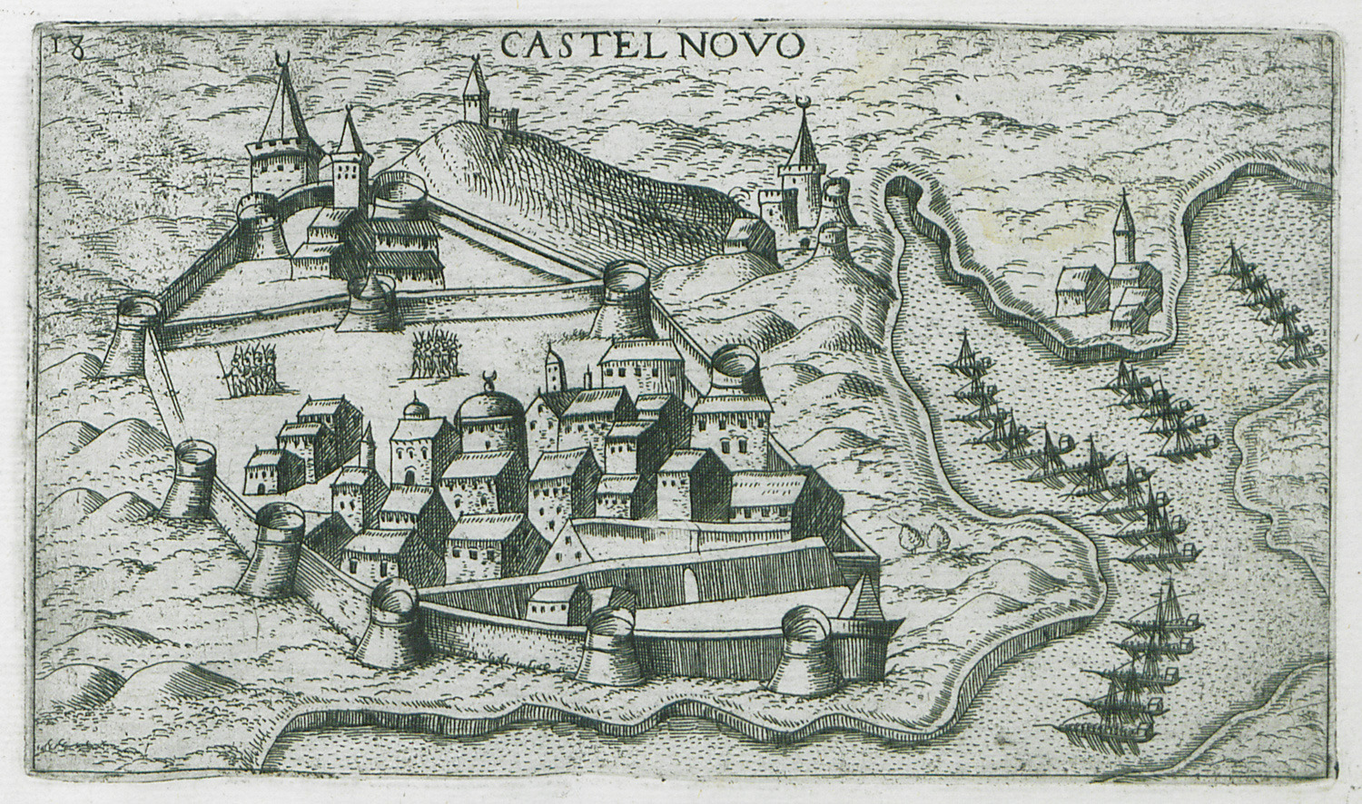
View of Herceg Novi in Montenegro.
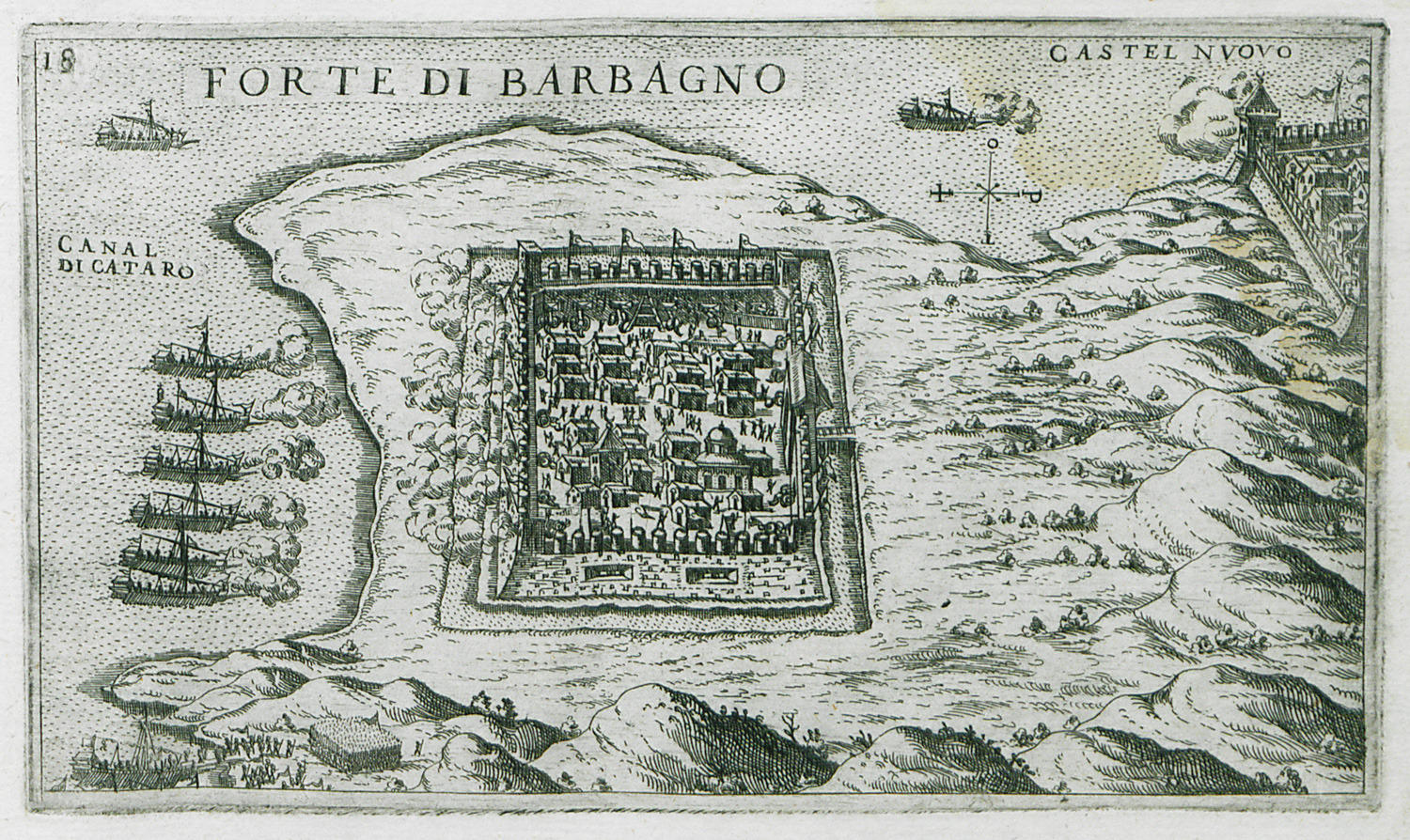
View of the Ottoman fortress of Kanli Kula in Herceg Novi, besieged by the Venetians.
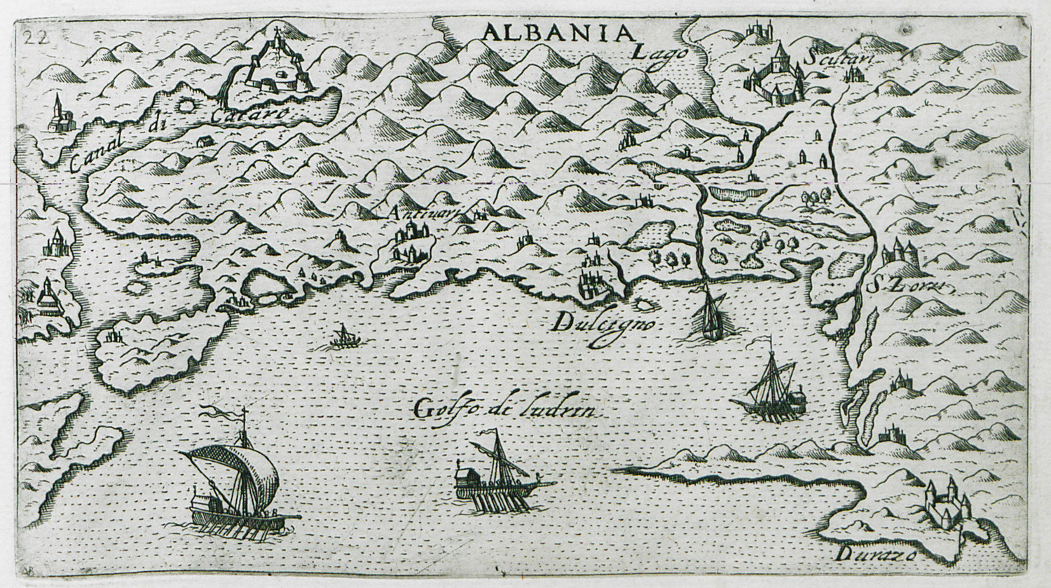
View of the Adriatic coast, from Kotor in Montenegro to Durrës in Albania.
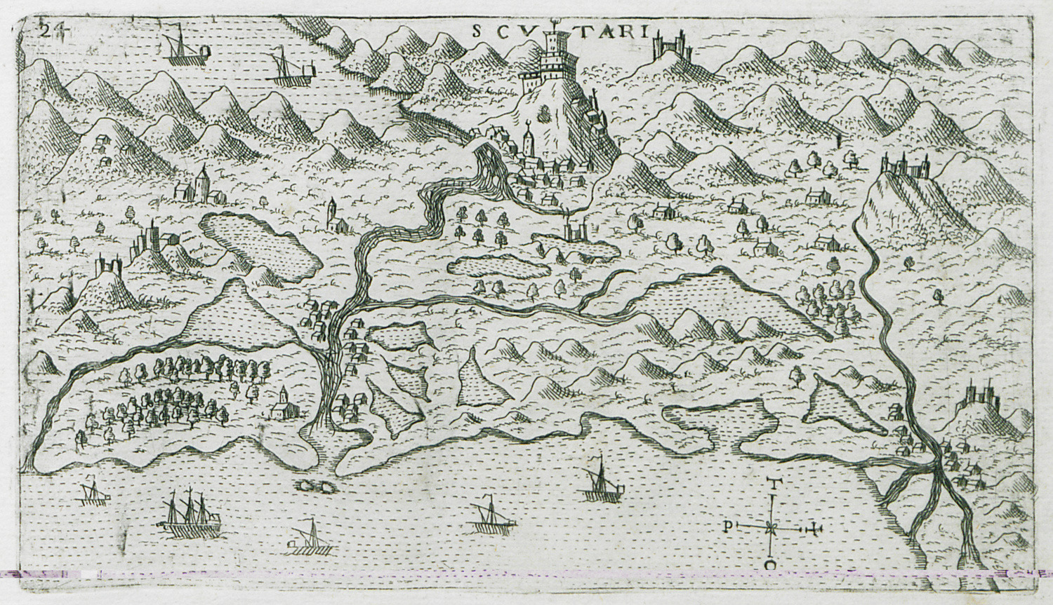
Landscape at of Lake Skadar (known also as Scutari, Shkodër or Shkodra), on the Montenegro – Albania border.
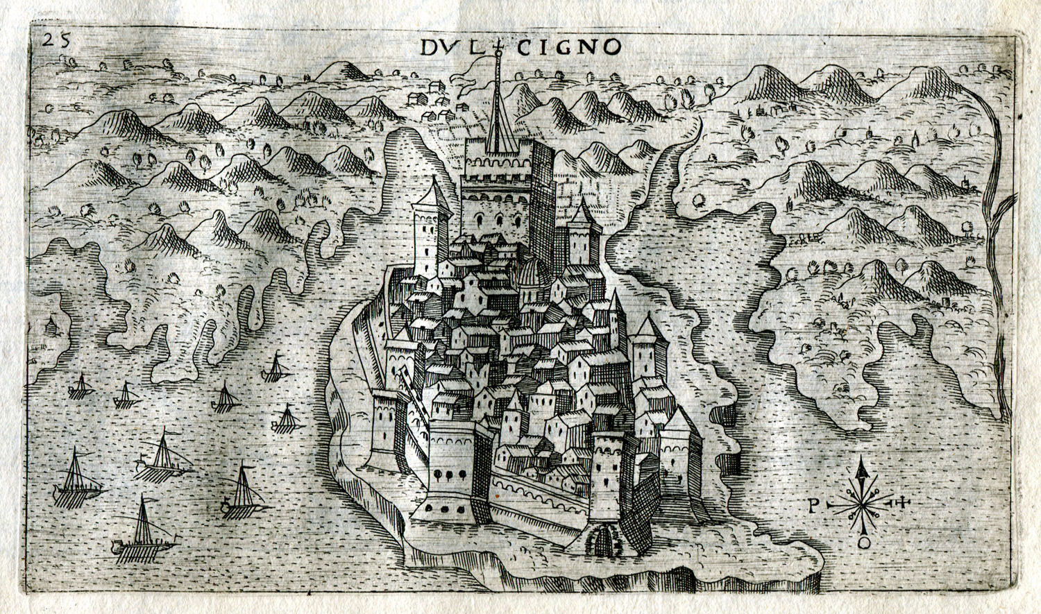
View of Ulcinj in Montenegro.


