Peloponnese (1650 Subjects)
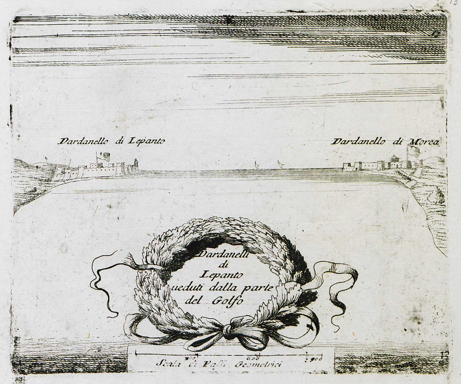
The strait of Rio – Antirrion, with views of Rio and Antirrio fortresses from the bay of Naupactus.
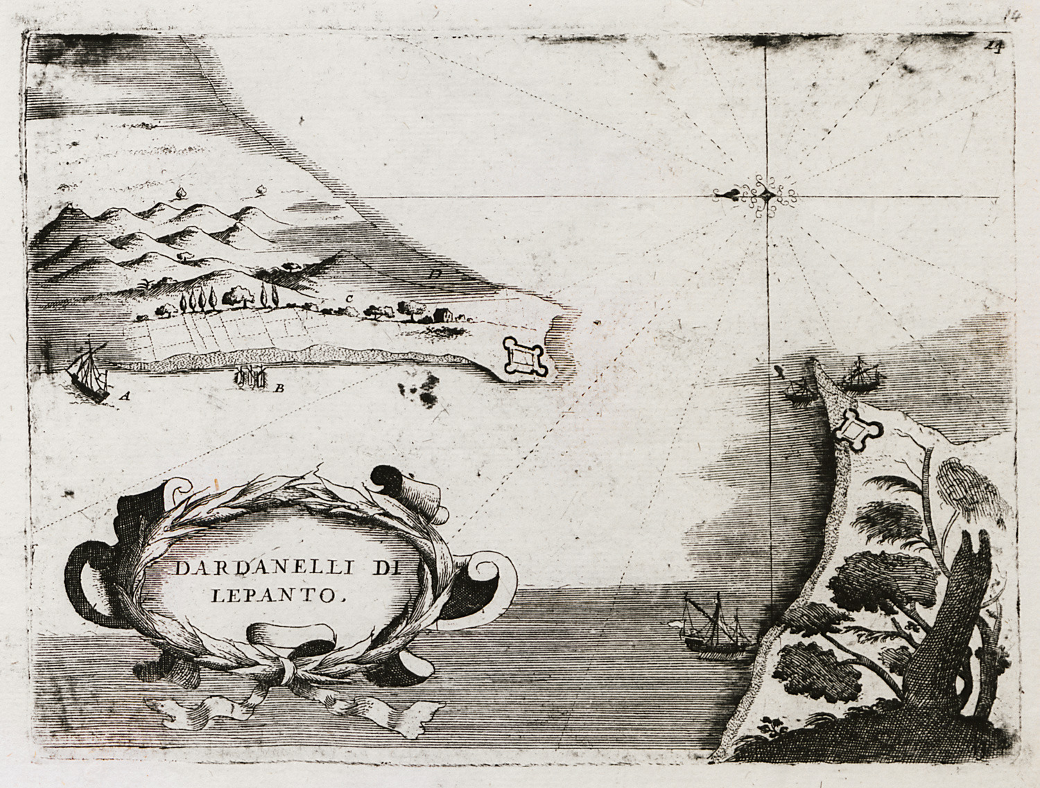
The strait of Rio – Antirrion, with plans of Rio and Antirrio fortresses.
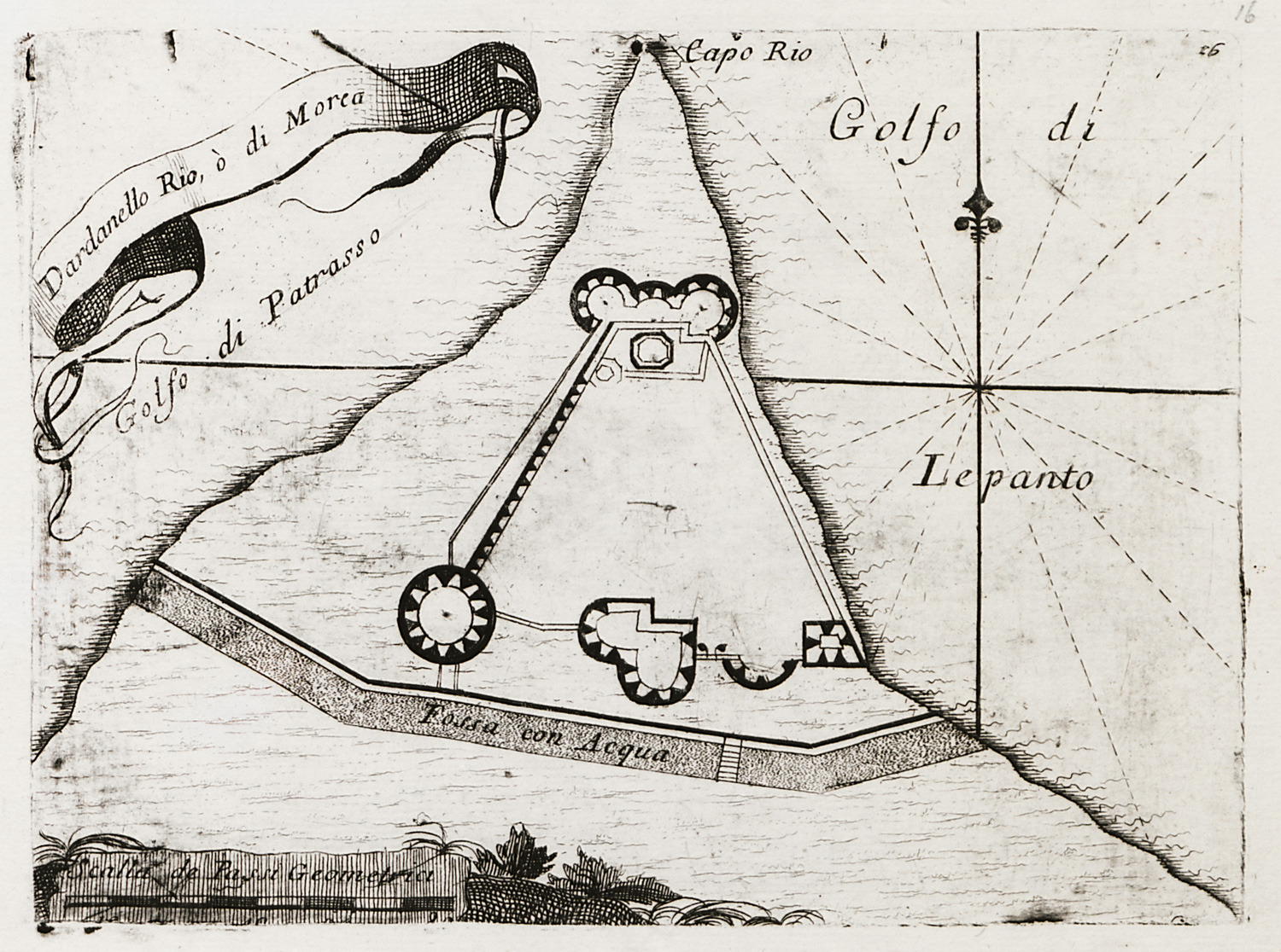
Plan of Rio fortress.
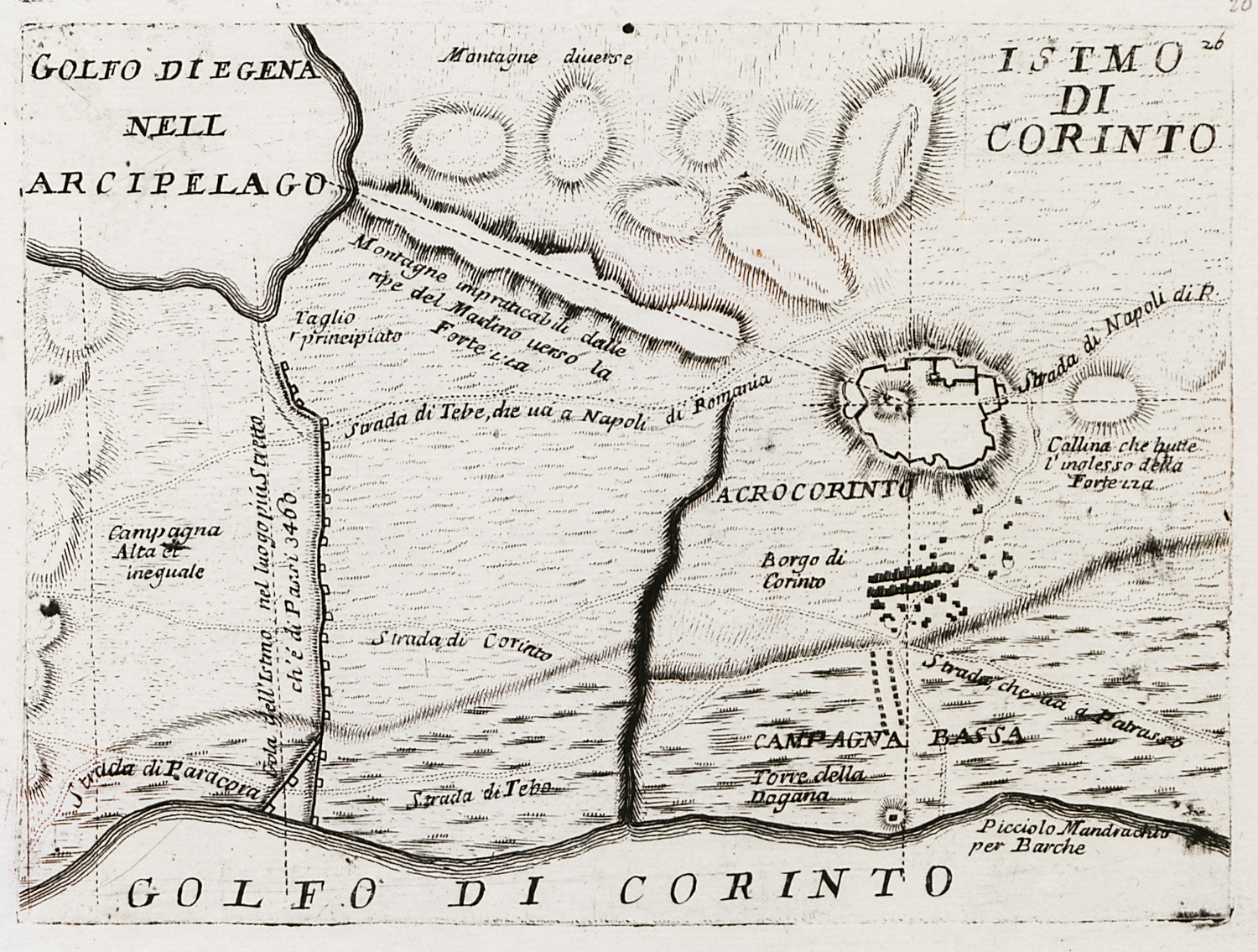
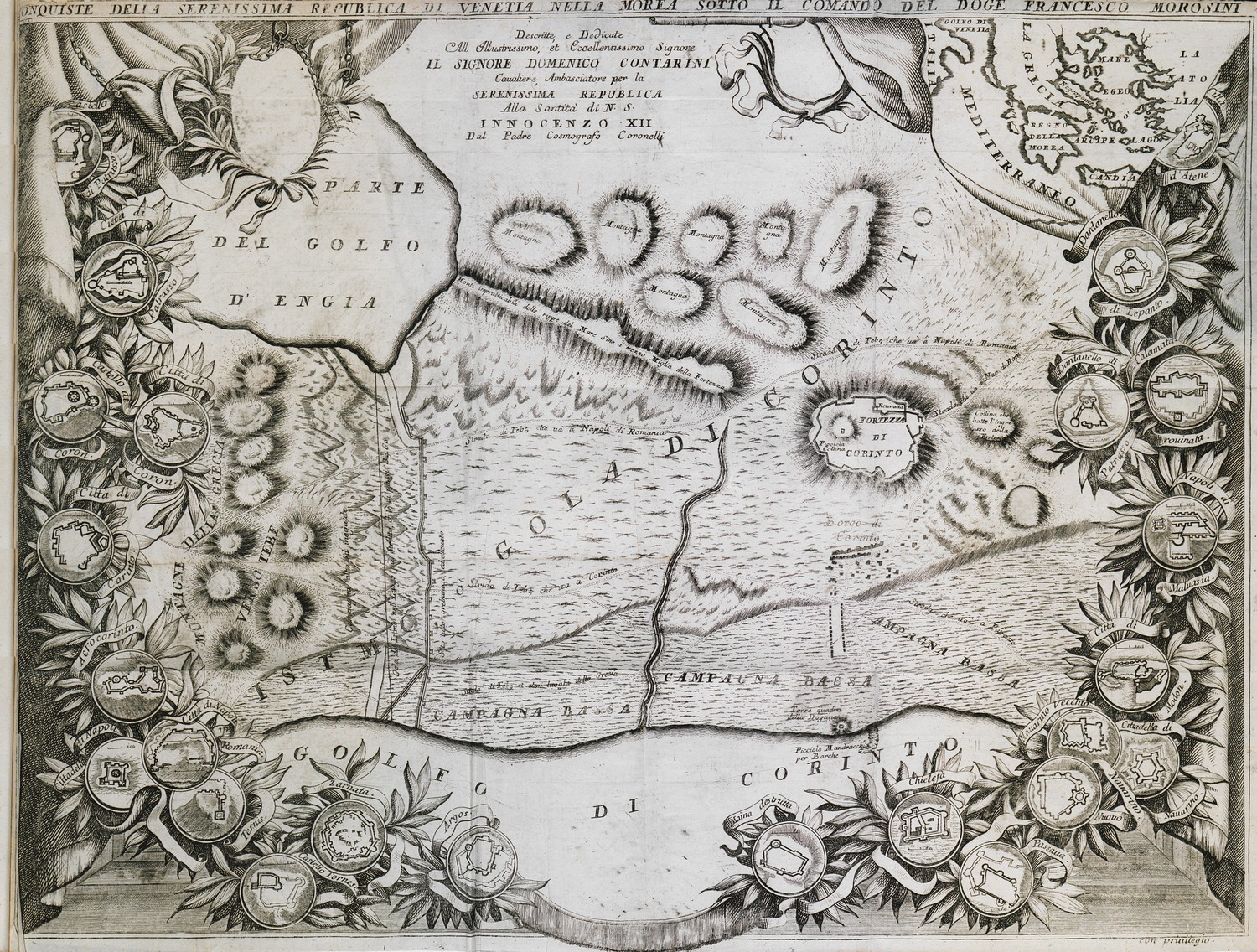
Map of the area of Ancient Corinth. Plan of Acrocorinth castle.
Map of the area around Ancient Corinth and plans of the castle of Acrocorinth, framed by plans of the main fortresess and castles taken by Francesco Morosini during the Sixth Ottoman-Venetian war.
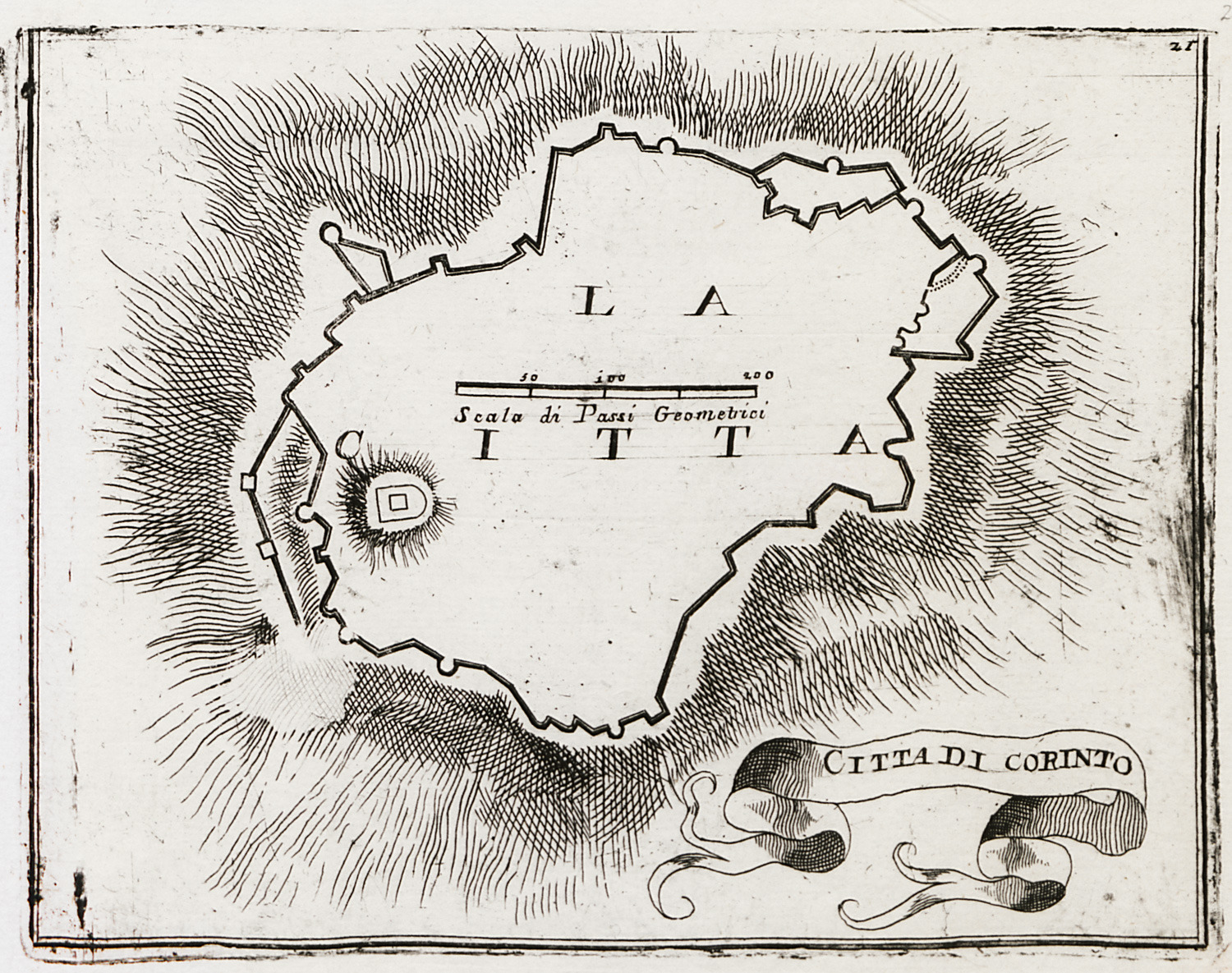
Plan of the walls of Ancient Corinth.
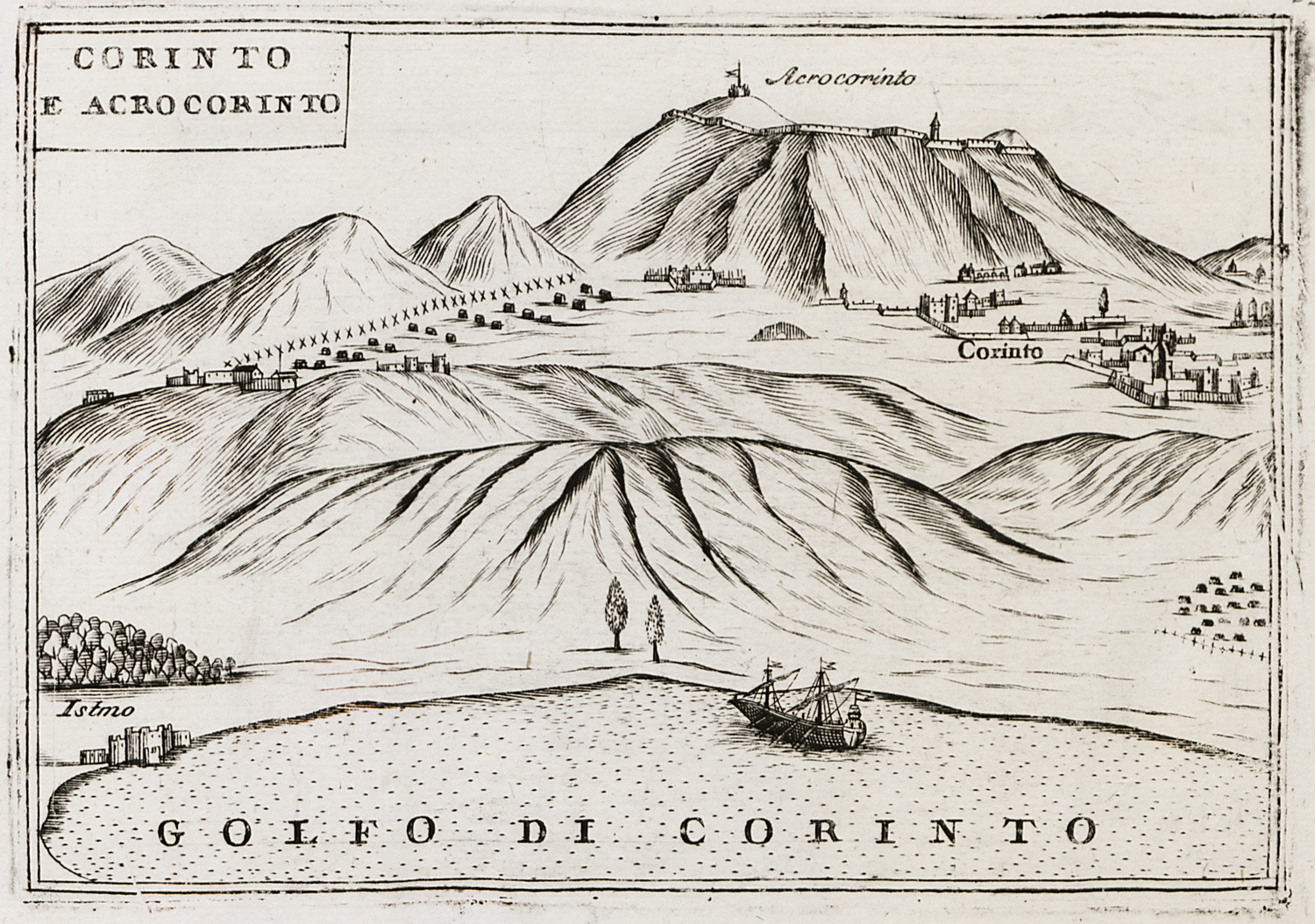
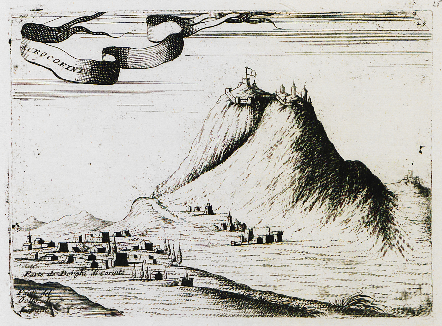
View of Ancient Corinth and Acrocorinth.
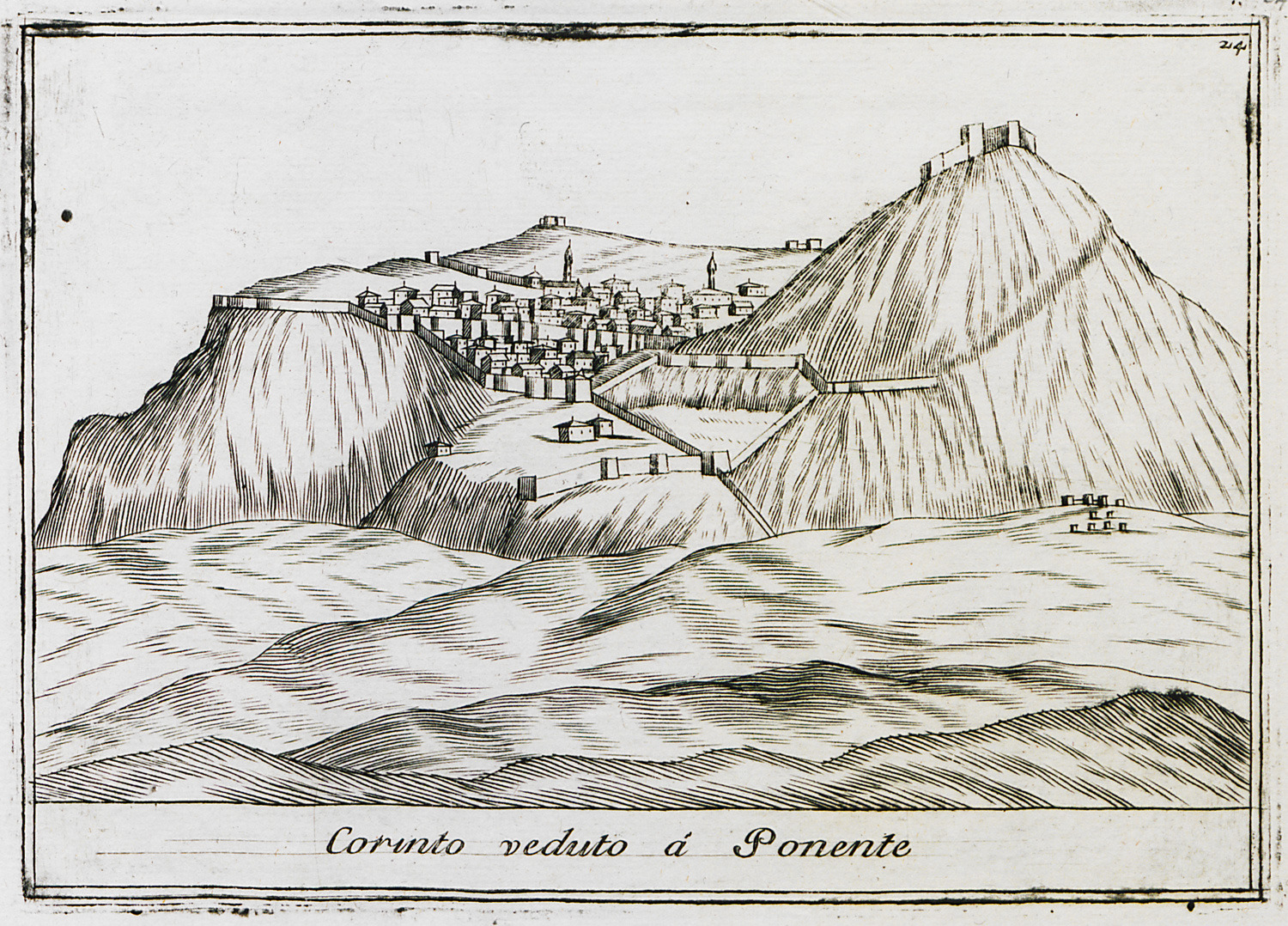
View of Acrocorinth.
View of Acrocorinth.
Ancient Corinth from the south.
View of Acrocorinth.
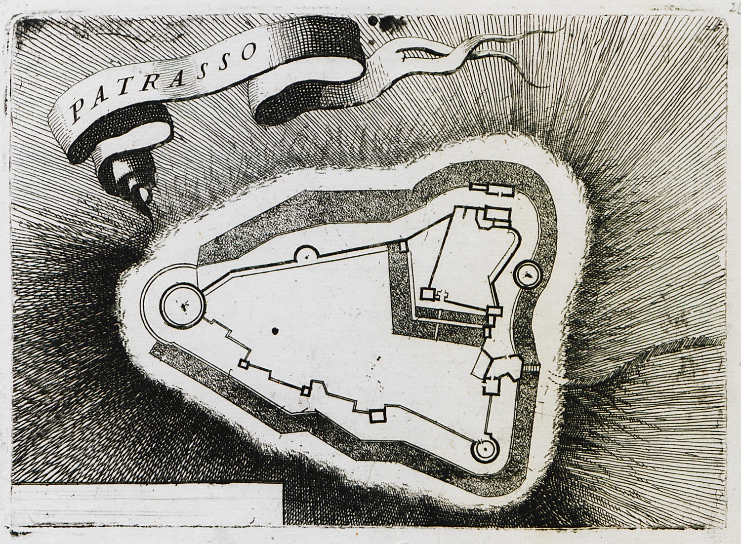
Plan of the fortress of Patras.
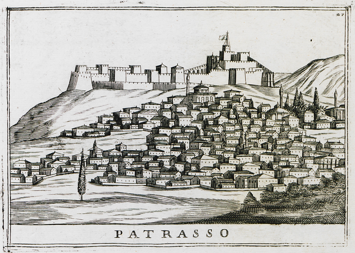
View of Patras.
Chlemoutsi fortress.
Chlemoutsi fortress.
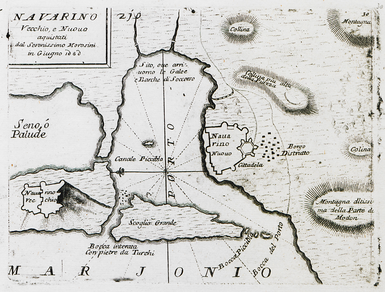
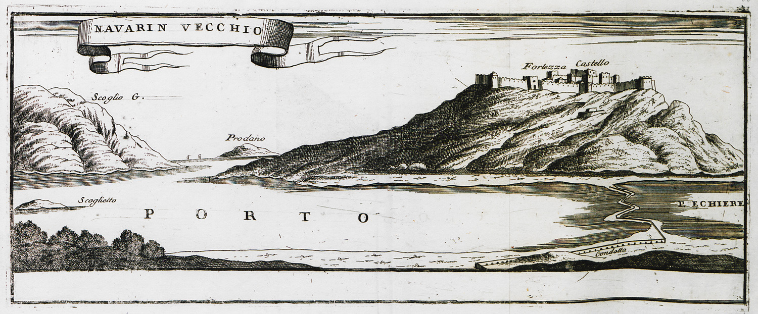
Map of the bay of Pylos. Floor plans of Niokastro and Palaiocastron fortresses.
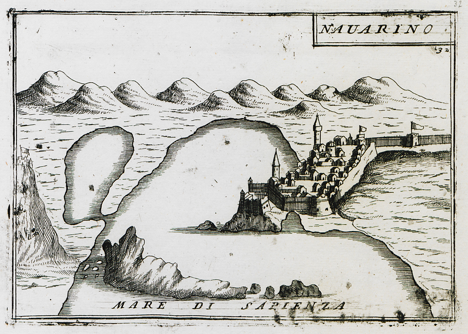
View of the bay of Sphacteria and Niokastro fortress in Pylos.
View of the bay of Sphacteria and Niokastro fortress in Pylos.
View of Palaiocastron, Pylos.
Cape Tainaron.
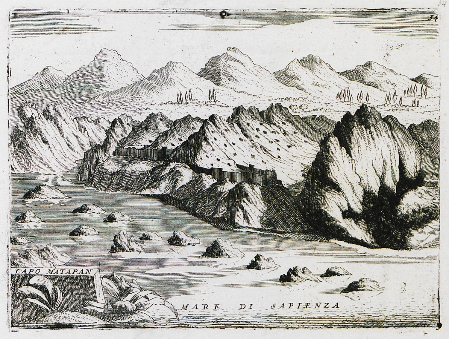
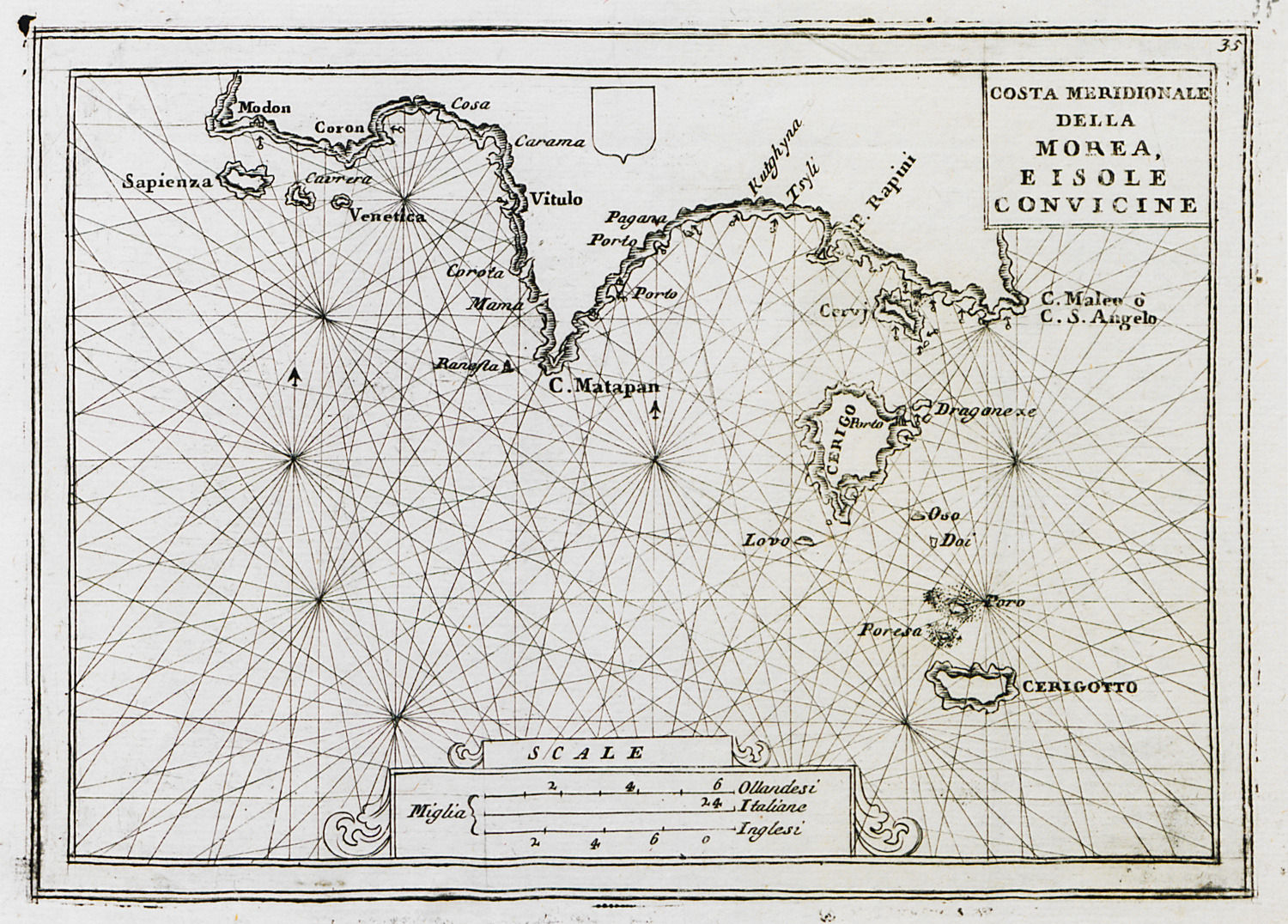
View of the southern coast of Messenia and Laconia, with Cythera and Anticythera islands.
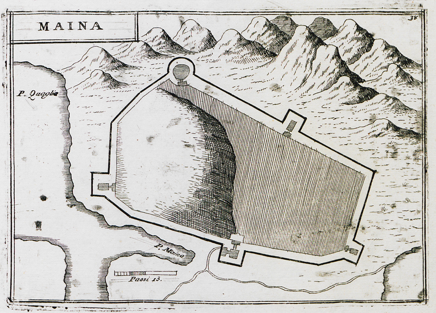
Map of Maini castle on Cape Tainaron.
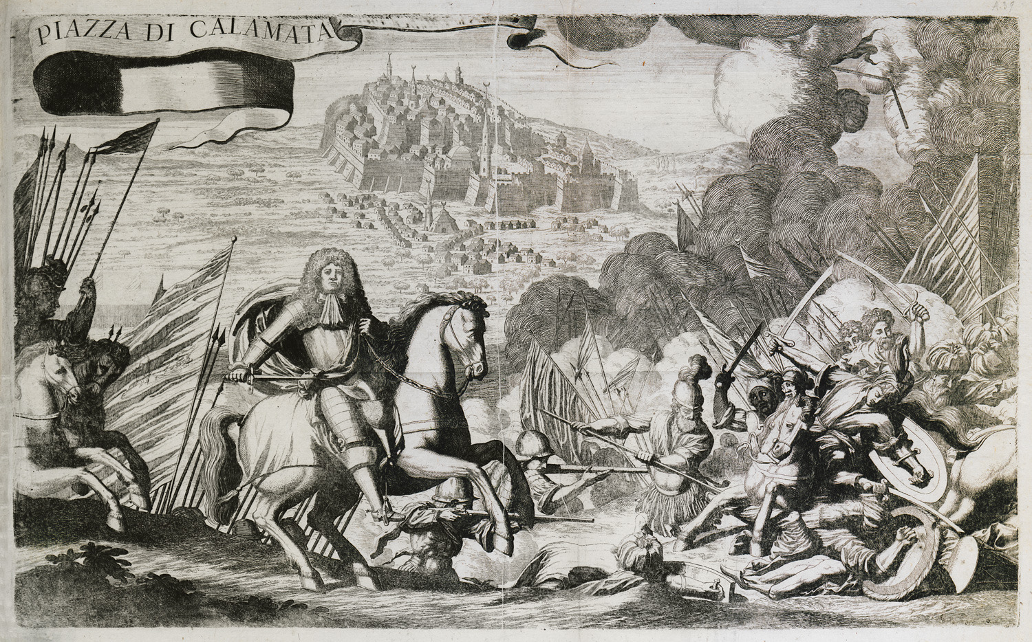
The battle between the Venetian and the Ottoman army on the plain of Kalamata in 1685. The city of Kalamata in the background.
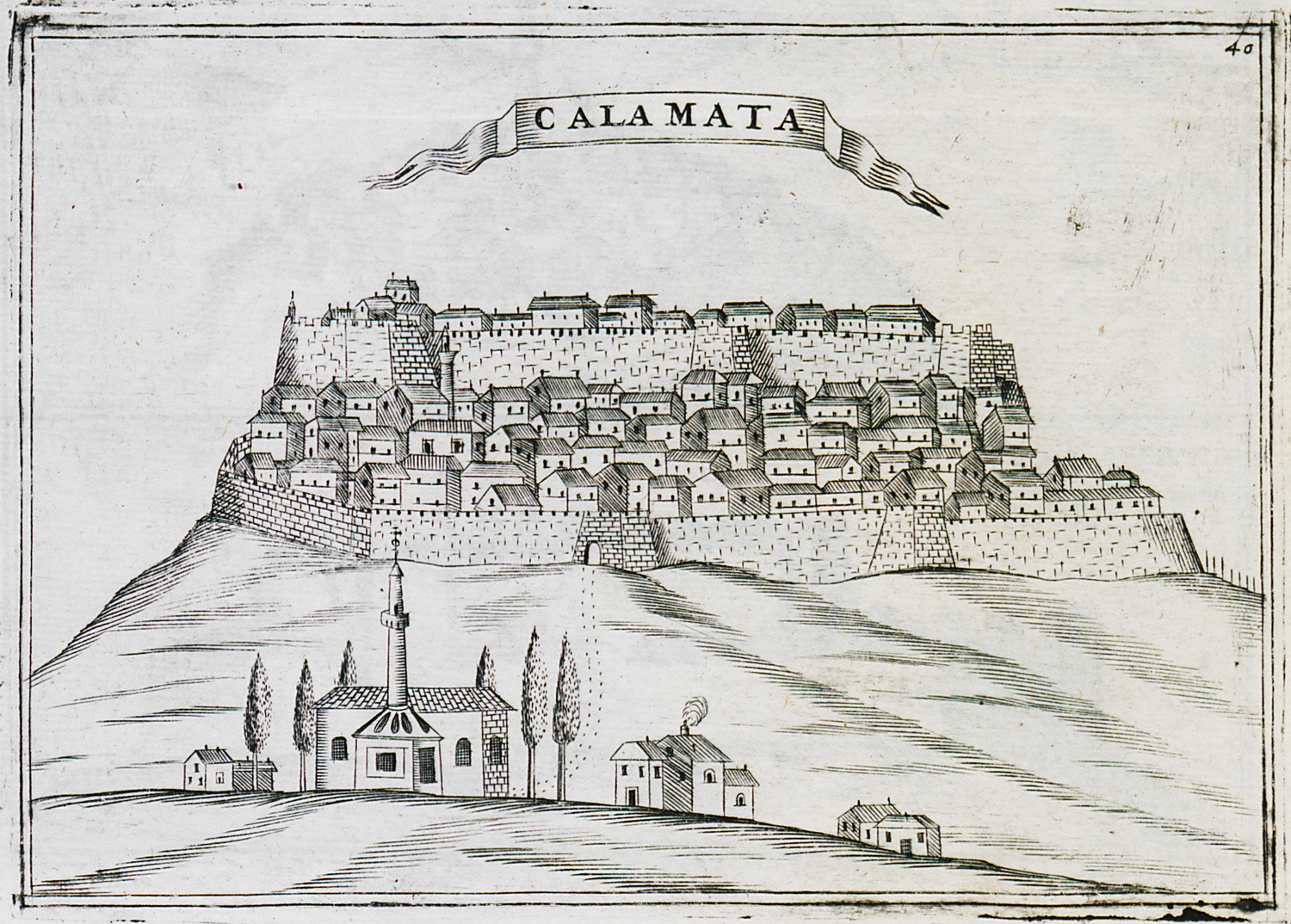
View of Kalamata.
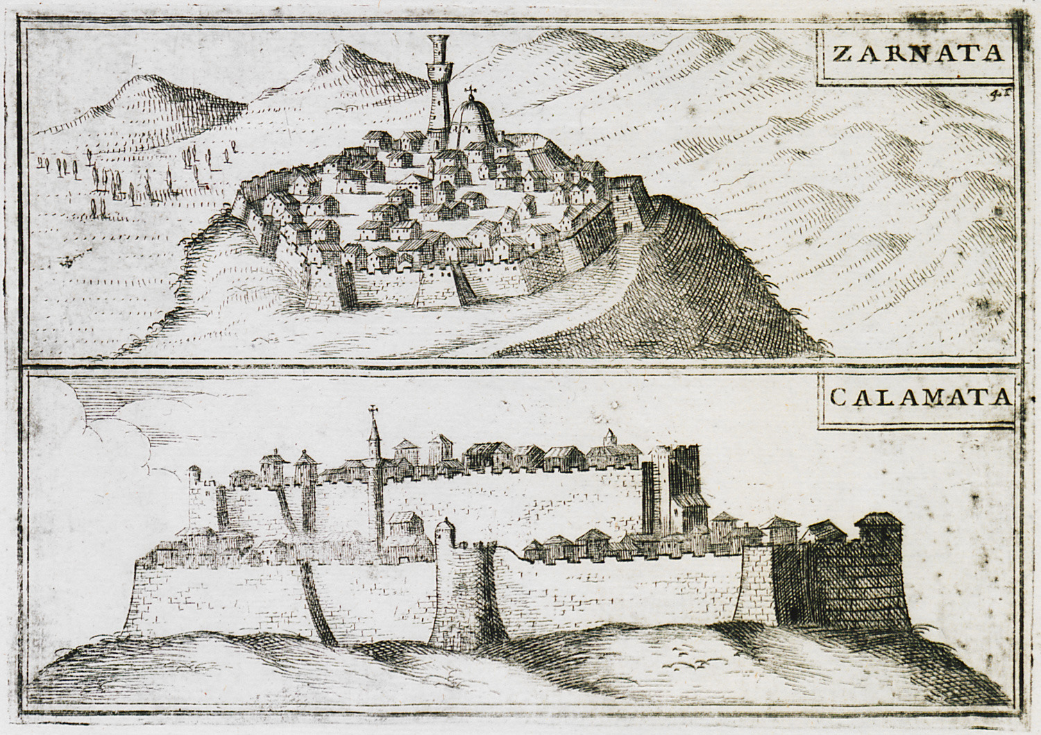
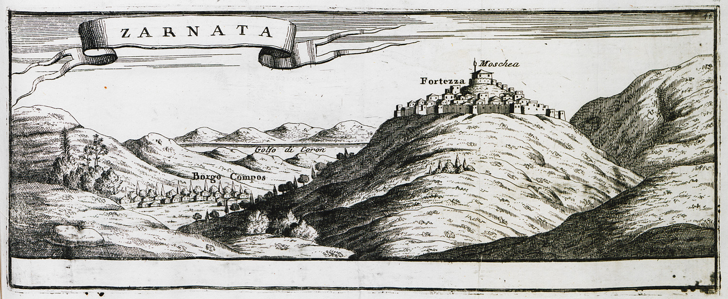
The castle of Zarnata and the castle of Kalamata.
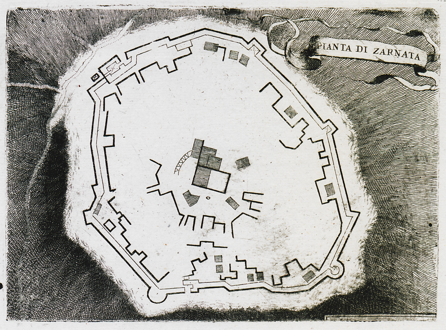
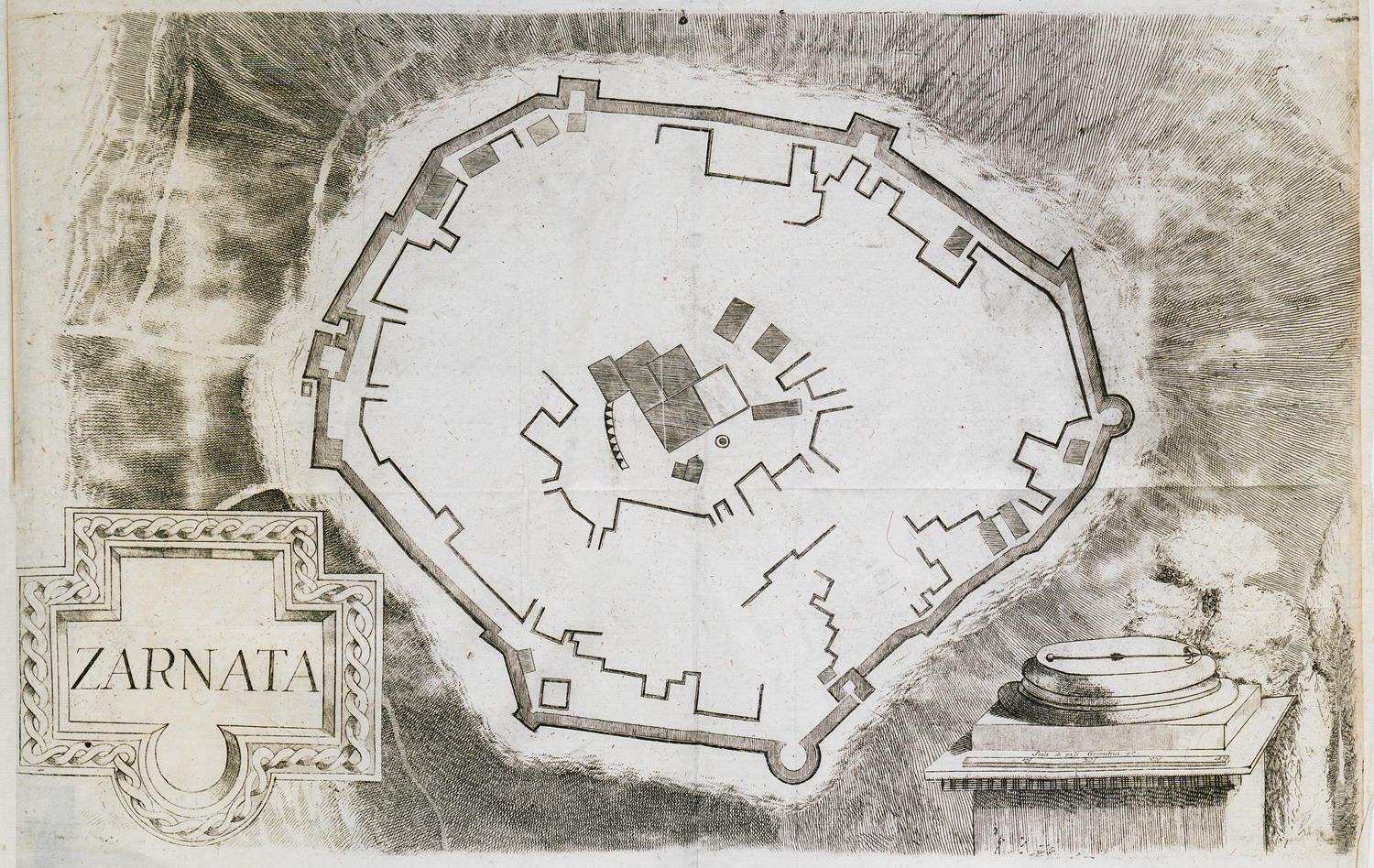
Plan of the castle of Zarnata.
Plan of the castle of Zarnata.
The castle of Zarnata and the village of Kambos, Messenia.
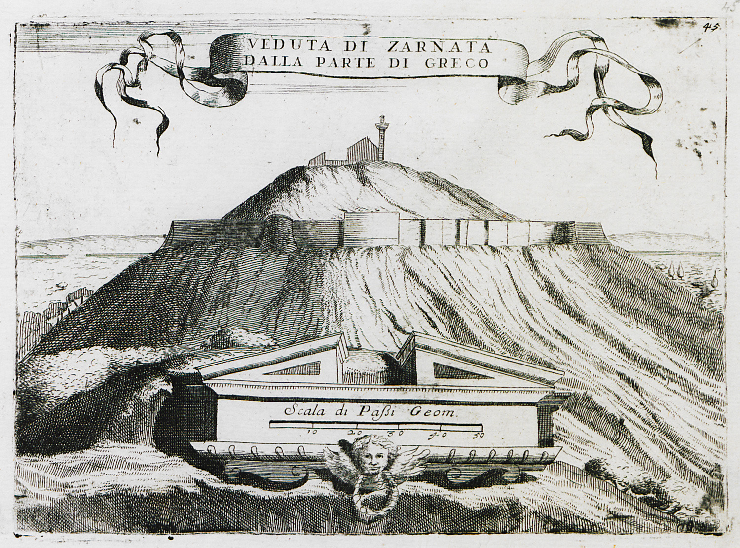
The castle of Zarnata from the northeast.
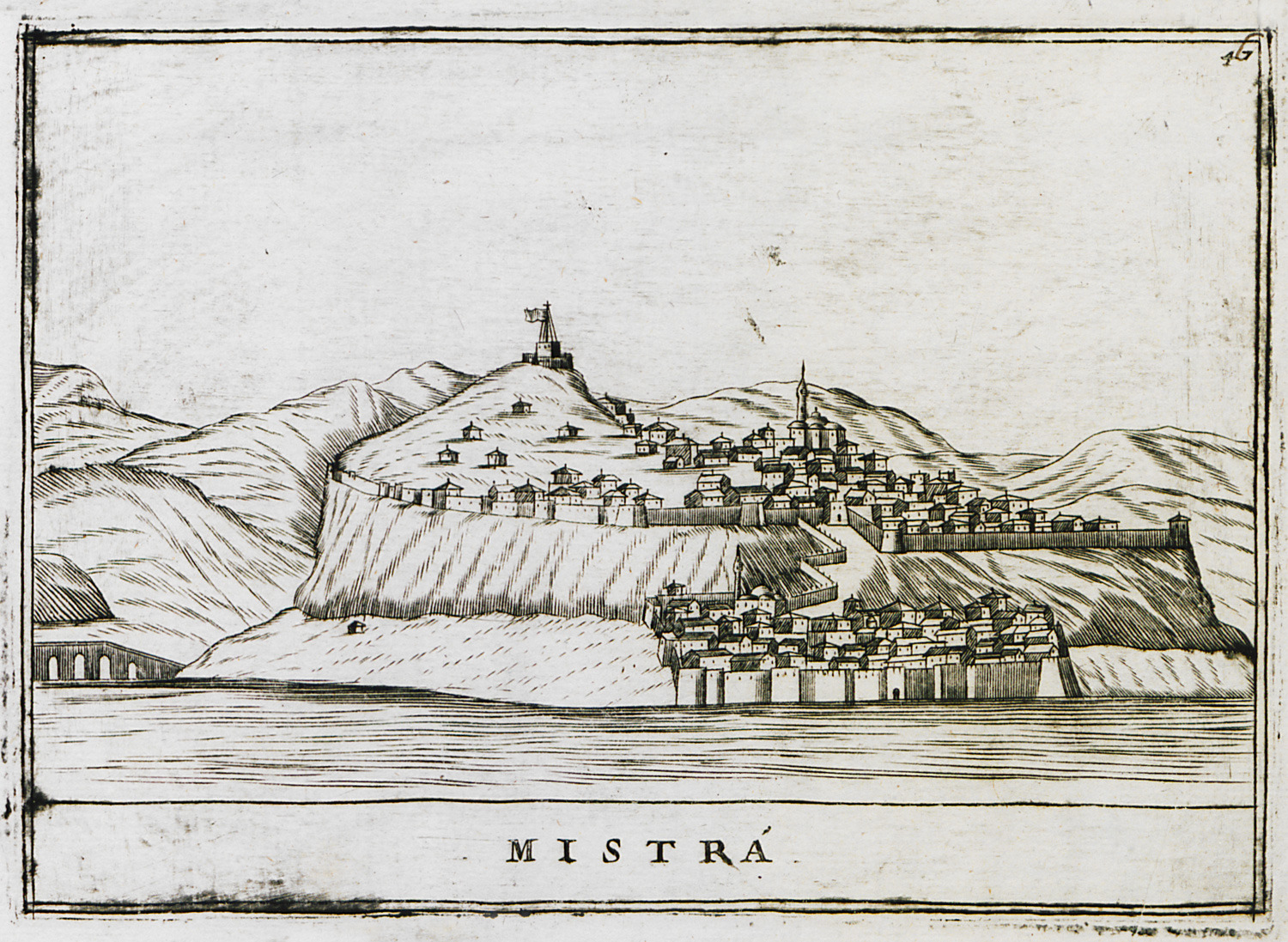
View of Mystras.


