Boats and ships (1778 Subjects)
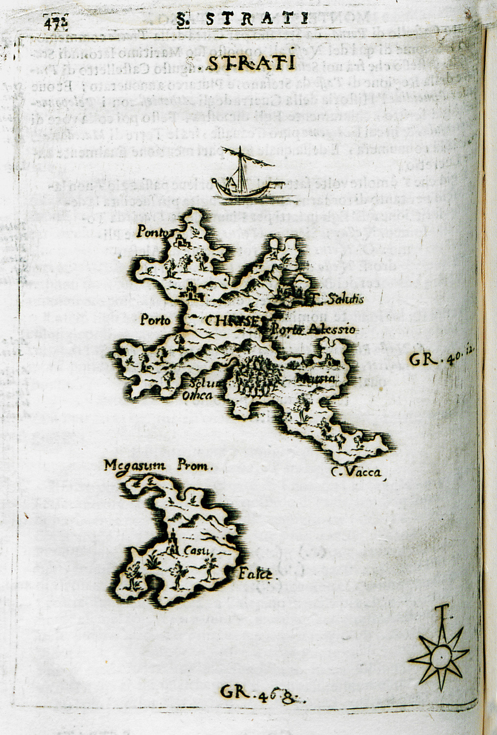
Map of Agios Efstratios island.
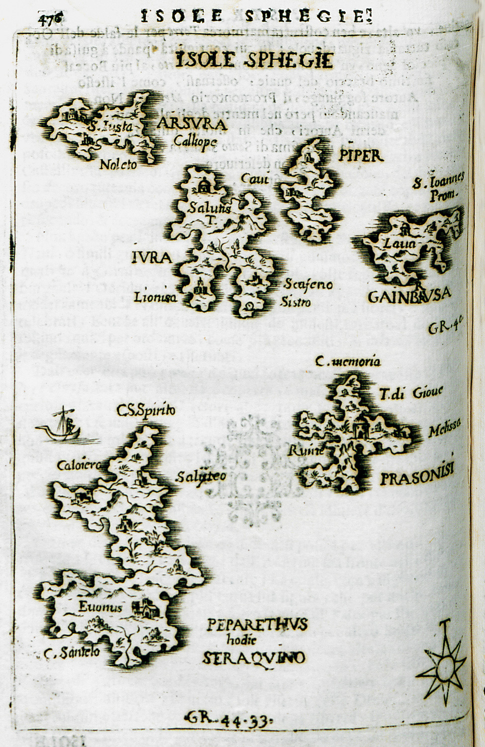
Map of the islets of Sarakino, Gioura, Psathoura, Piperi and Prassoniso in the Northern Sporades.
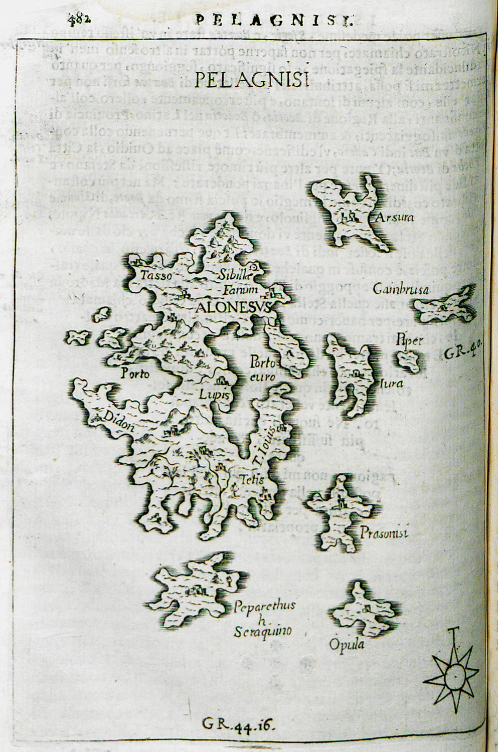
Map of the islets of Kyra Panagia (Pelagonisi), Gioura and nearby islets.
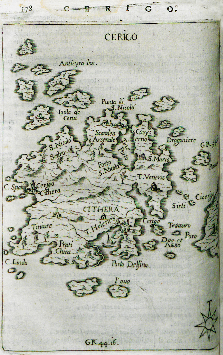
Map of Cythera island.
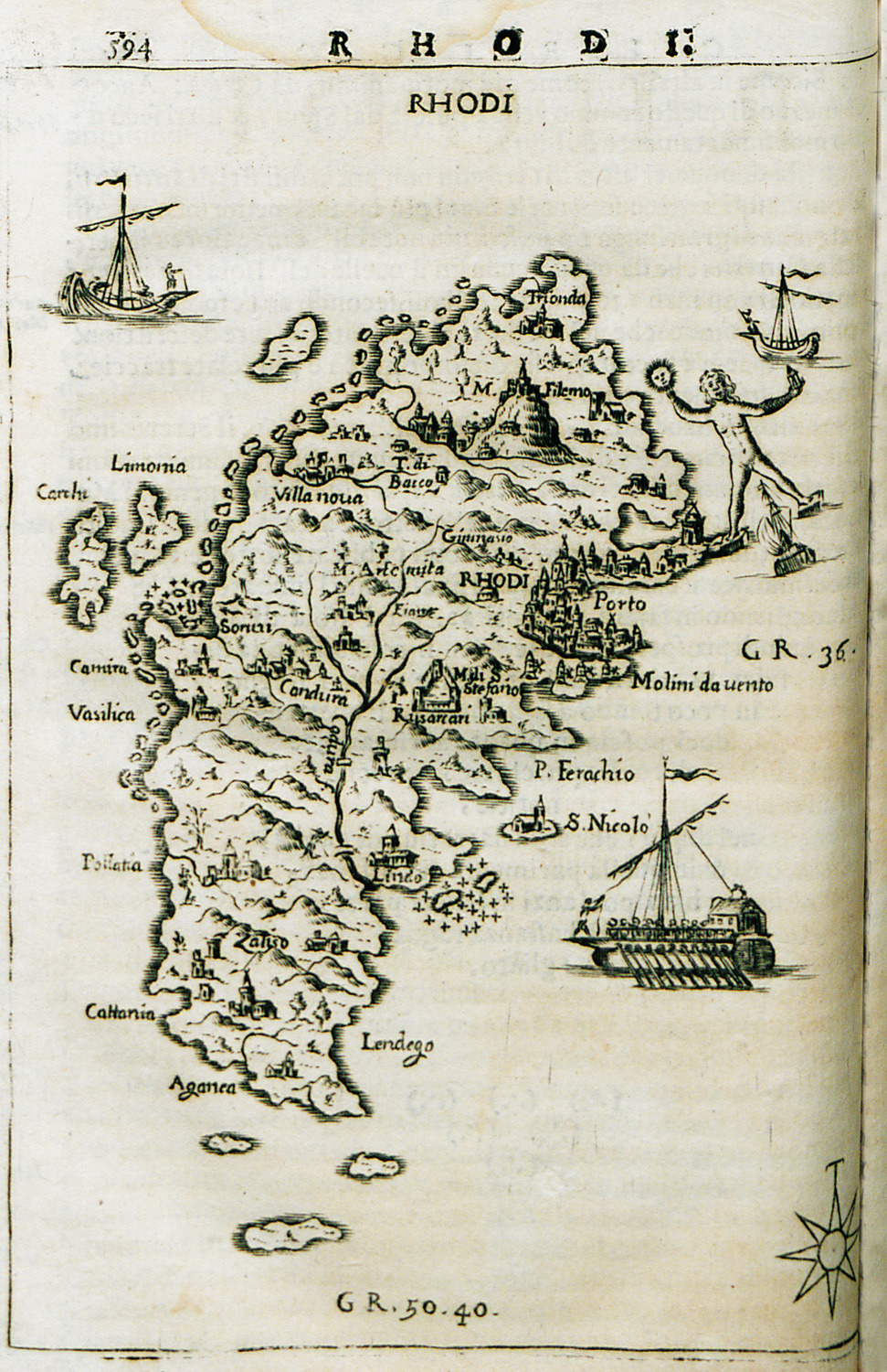
Map of Rhodes island.
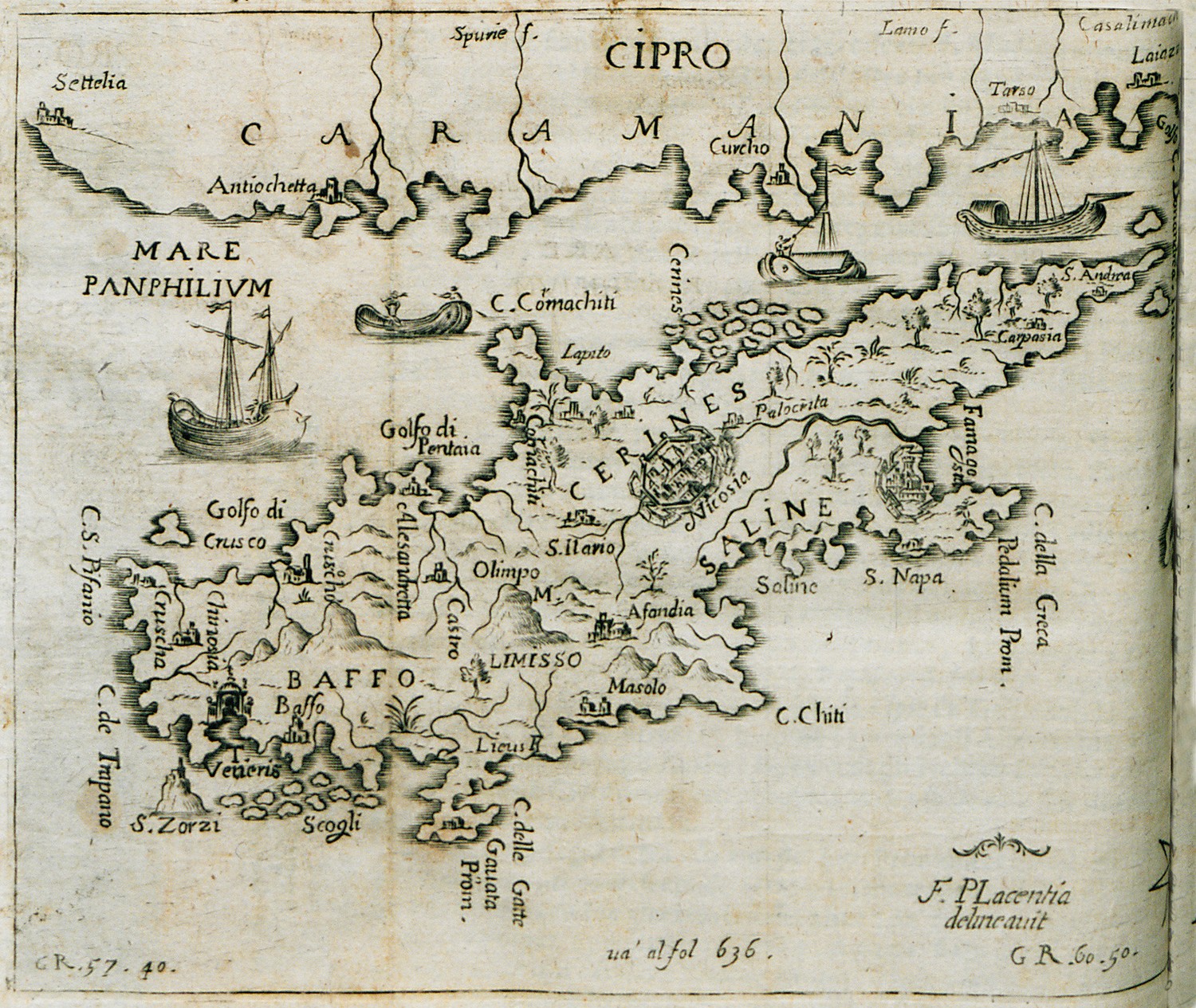
Map of Cyprus.
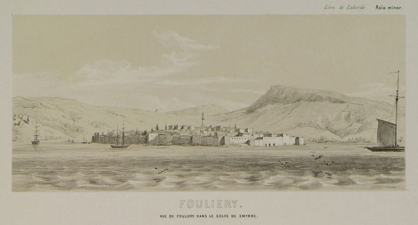
View of settlement in the bay of Izmir, possibly Yenifoça.
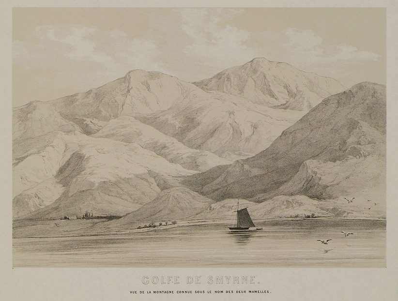
View of a coast in the gulf of Izmir, from the hills of Sancak Burnu promontory.
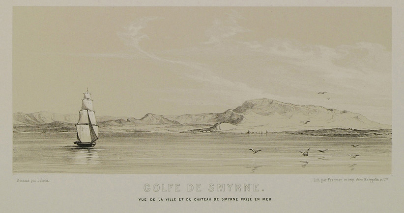
View of the city and castle of Izmir from the sea.
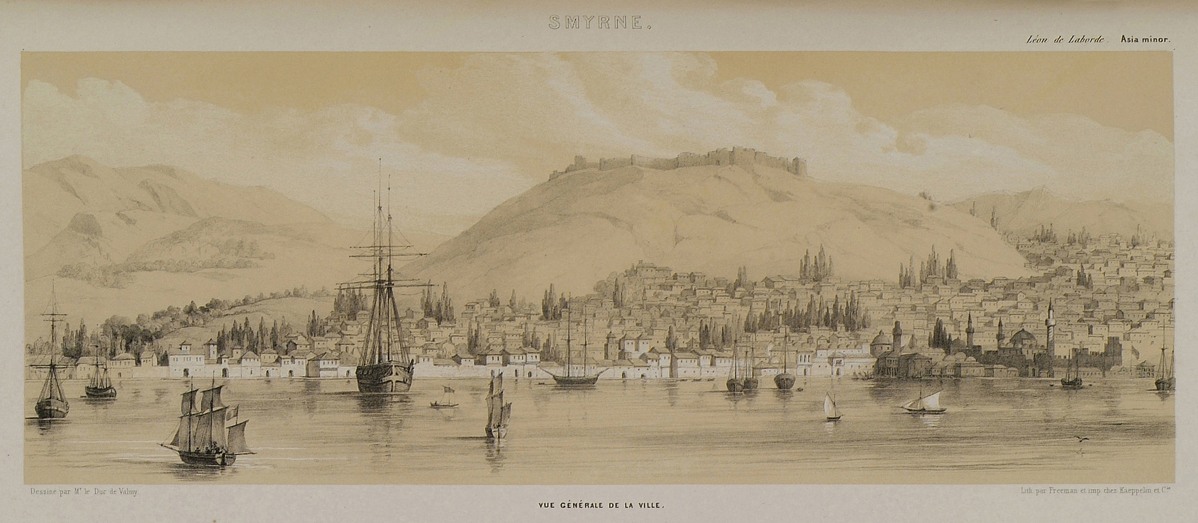
Panoramic view of the city and port of Izmir.
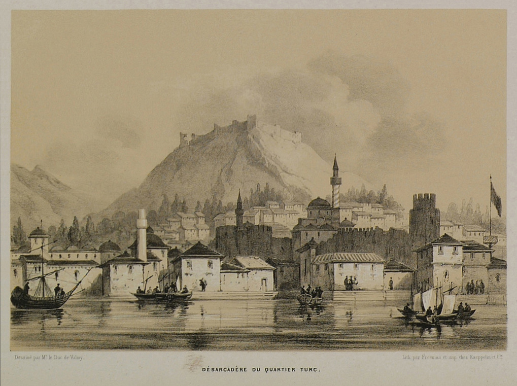
Quays at the Turkish quarter of Izmir.
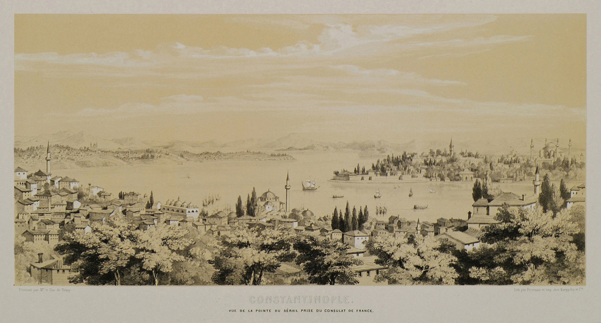
View of Seraglio Point, Istanbul, from the French consulate.
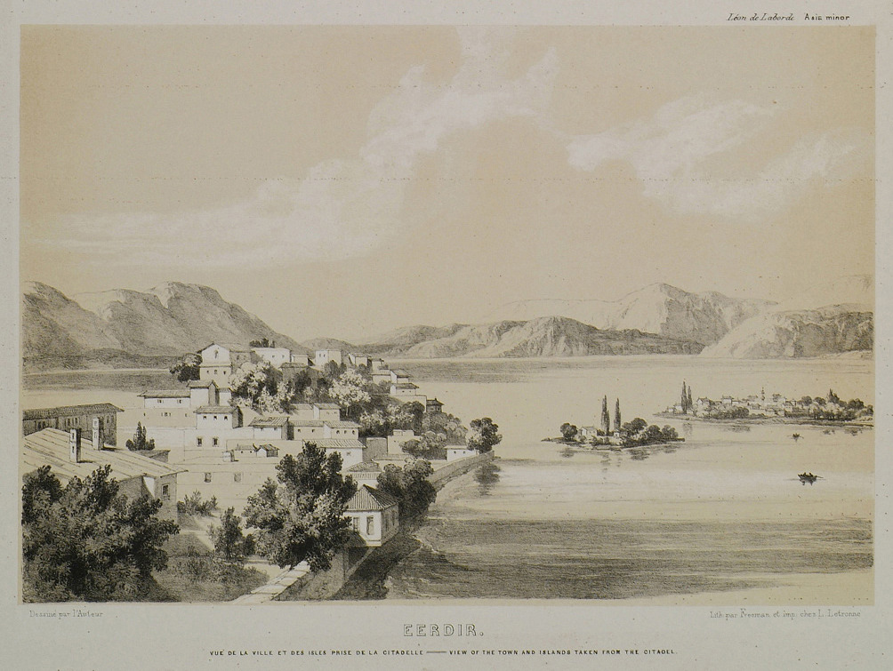
View of the town, the lake and the lake islets of Egirdir from the town castle.
View of the spot where the Bosporus joins the Golden Horn.
Partial view of Seraglio Point (Sarayburnu) with Topkapi Palace.
Partial view of Seraglio Point (Sarayburnu) with Topkapi Palace and Incirli Kiosk.
Partial view of Seraglio Point (Sarayburnu) with Topkapi Palace. The plate shows the Tower of Justice in the second court of the palace and the Harem.
Partial view of Seraglio Point with Gülhane Park and the quarter of Eminönü.
Hagia Sophia, Istanbul.
Mosque of Sultan Ahmed I in Istanbul.
Mosque of Suleiman I in Istanbul.
The mosque of Mehmed II in Istanbul. Valens aqueduct on the right.
Bayazit Tower, Istanbul.
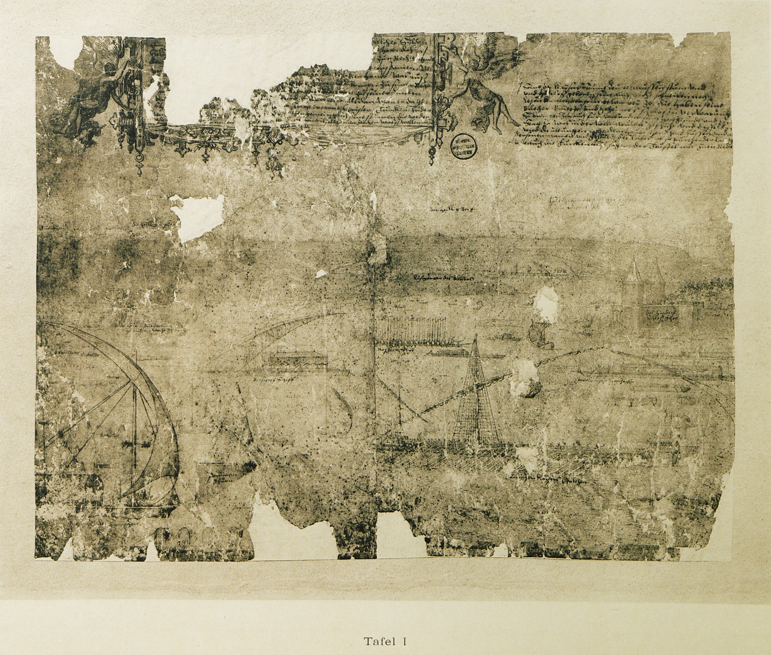
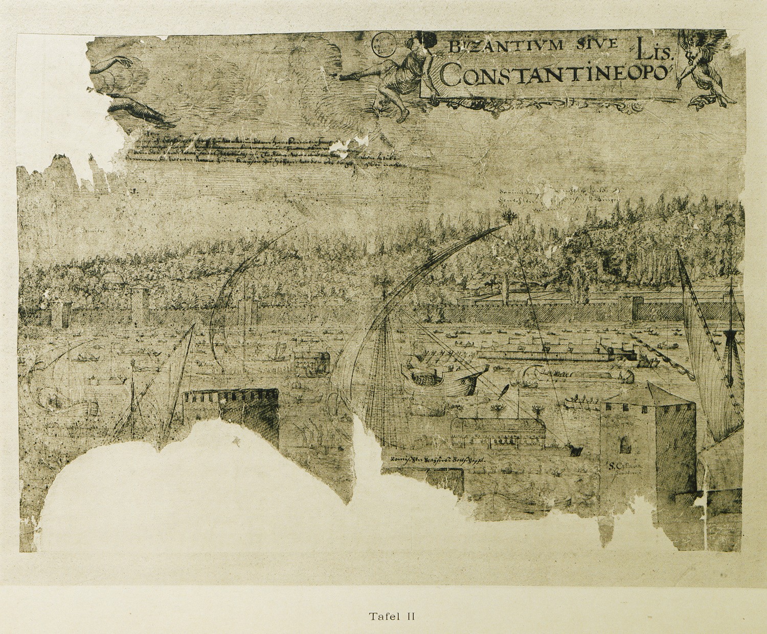
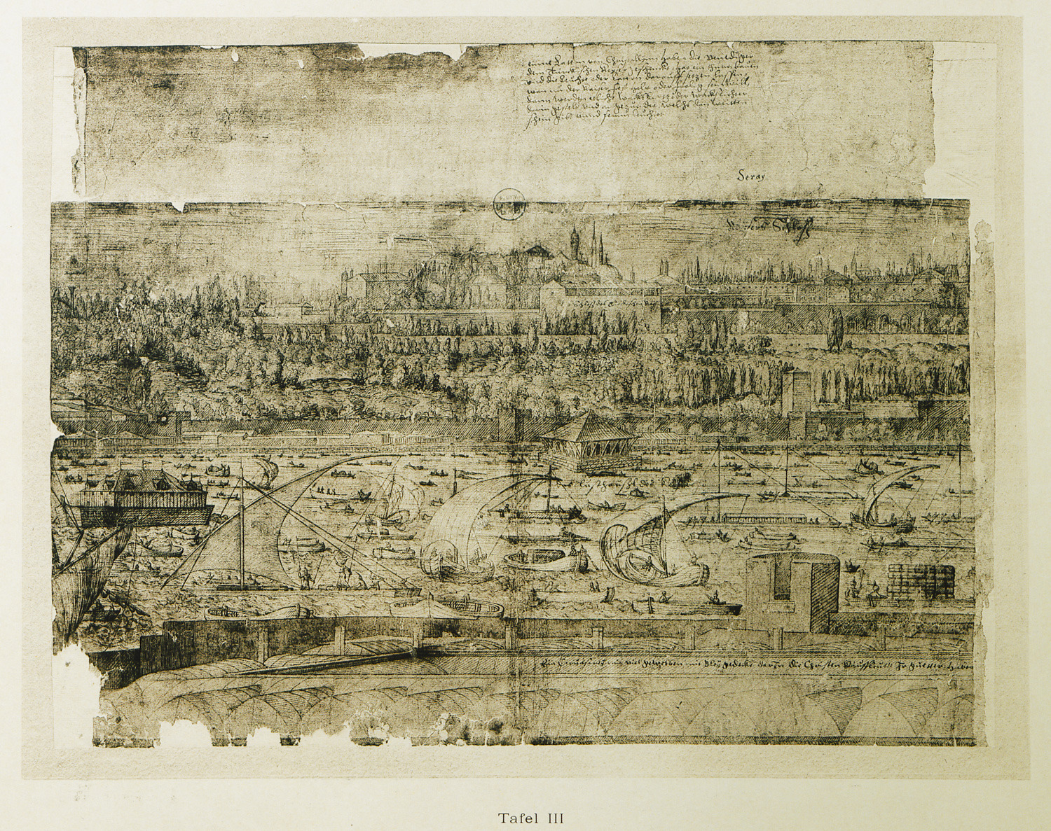
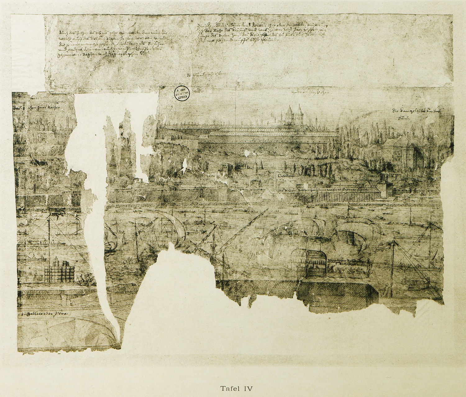
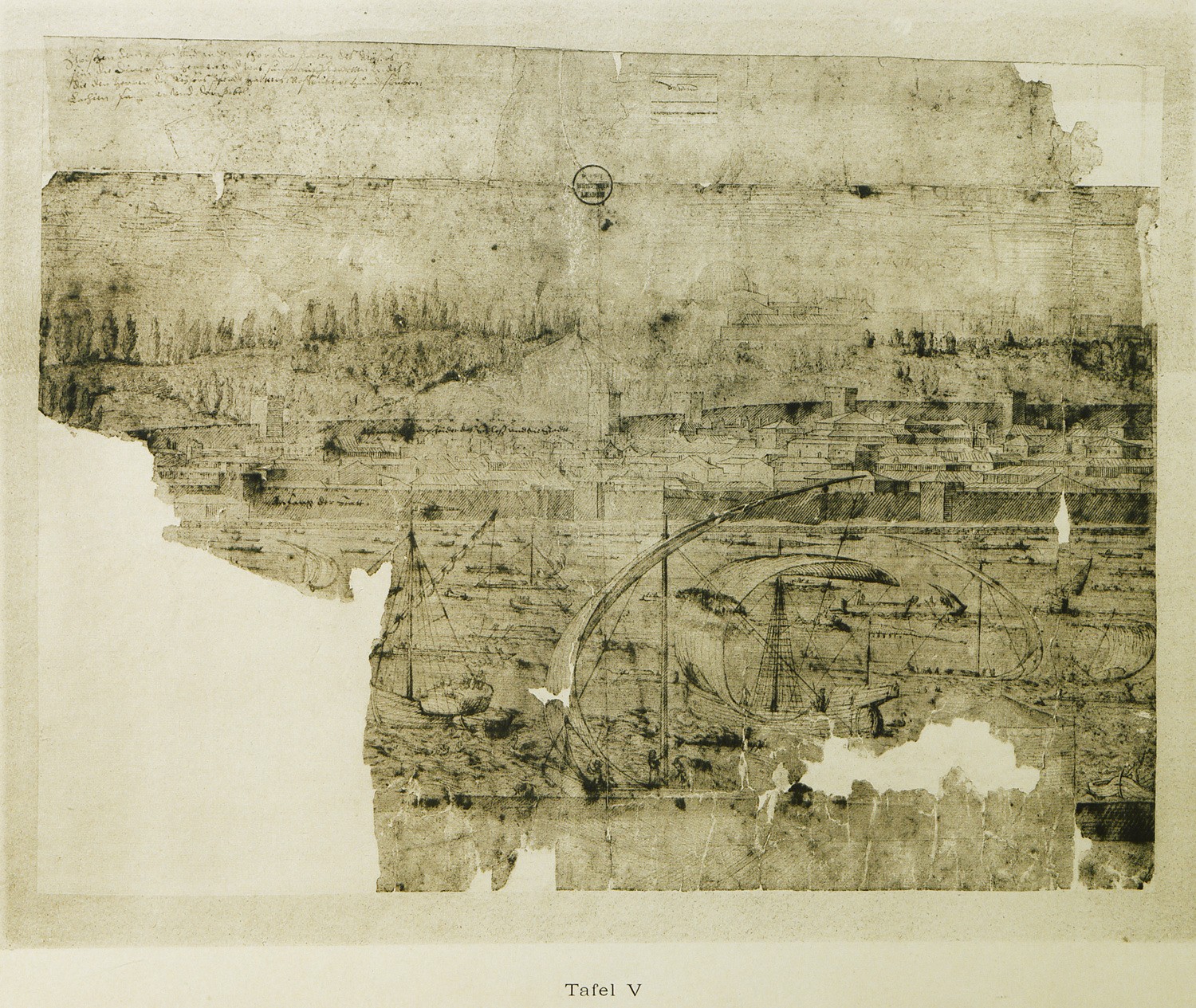
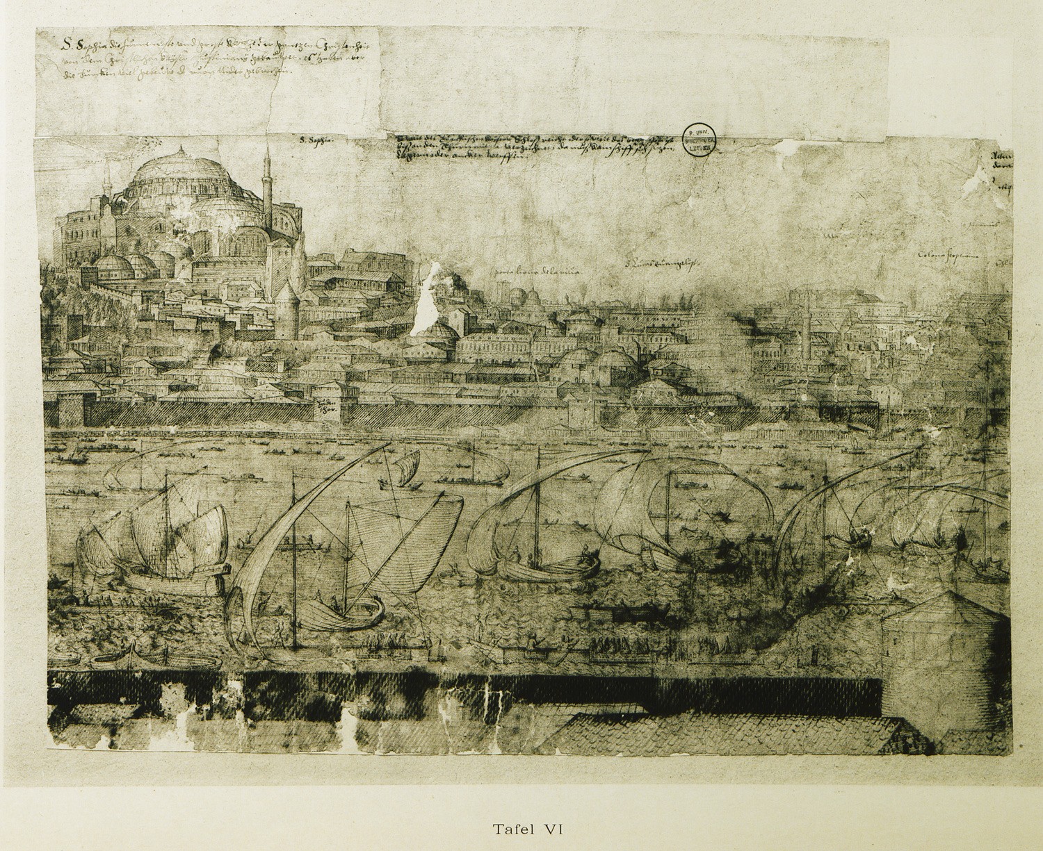
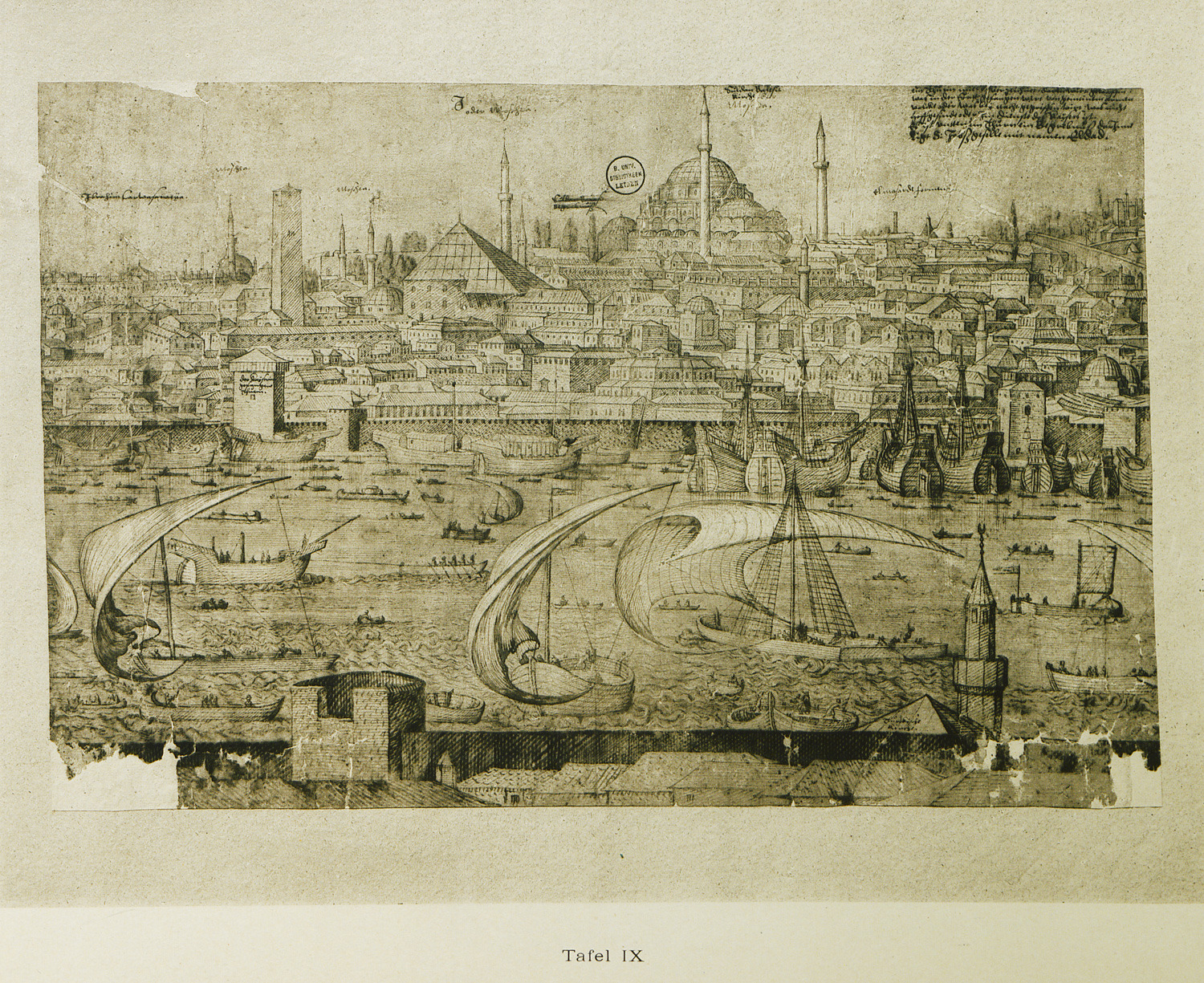
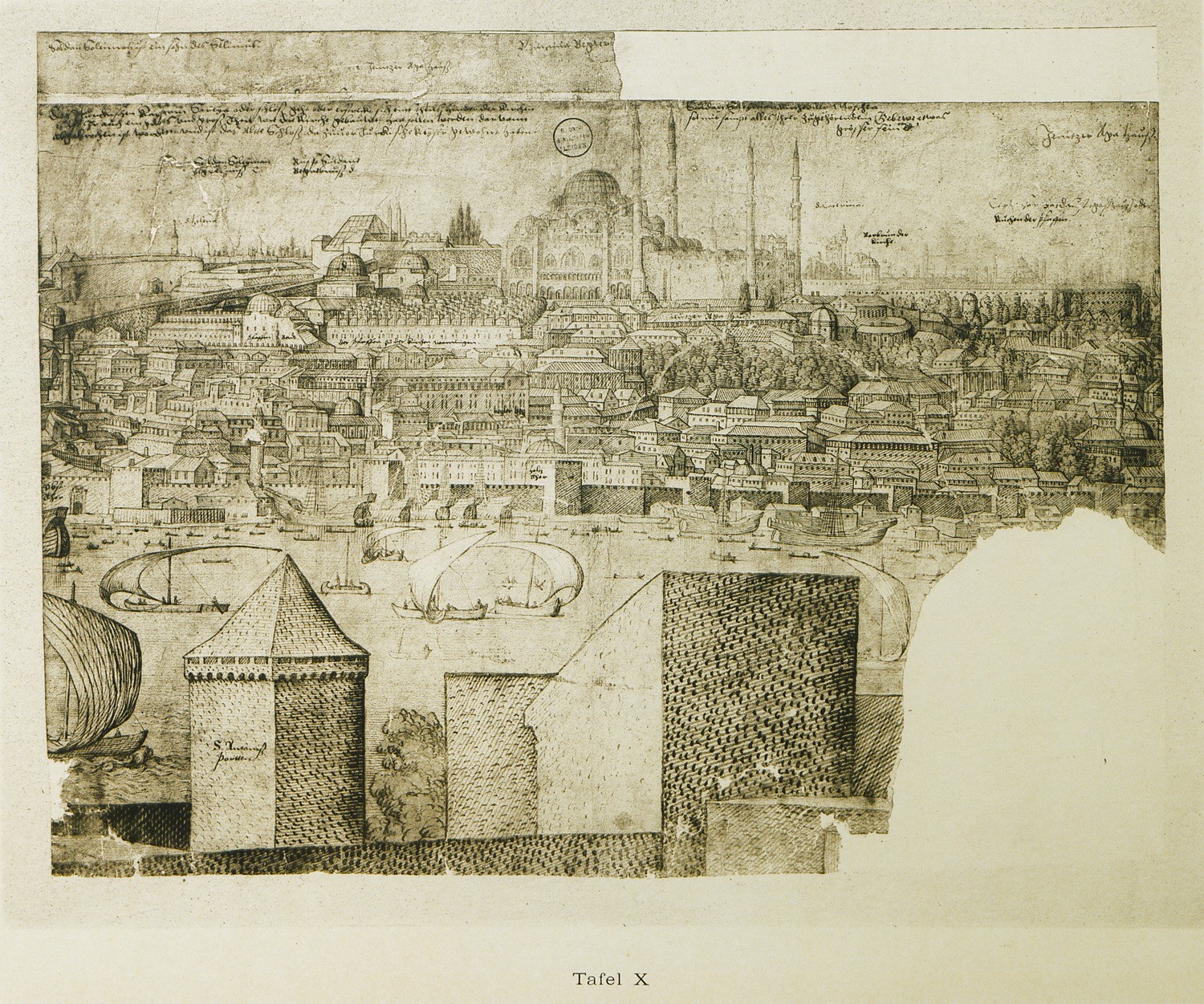
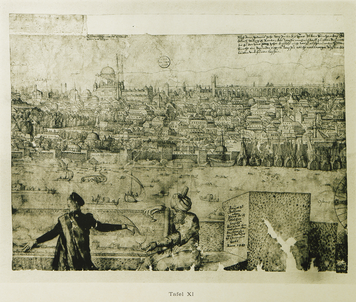
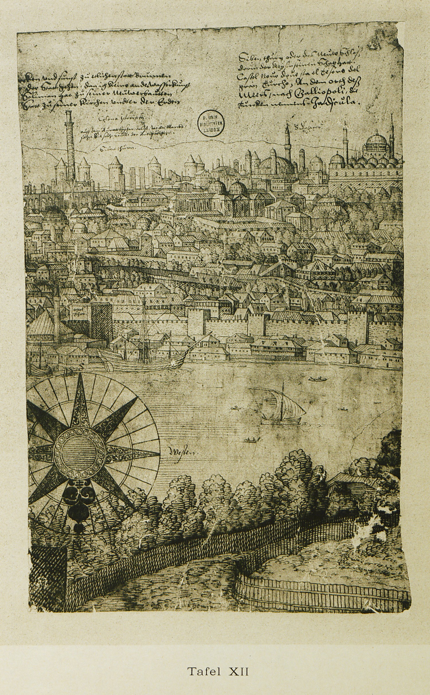
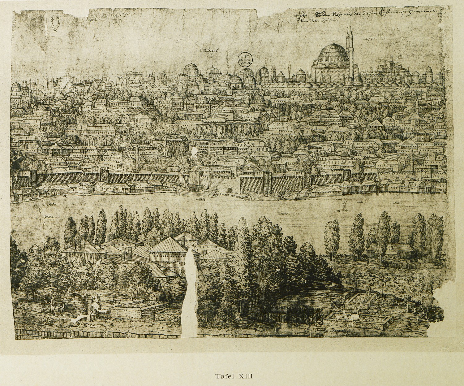
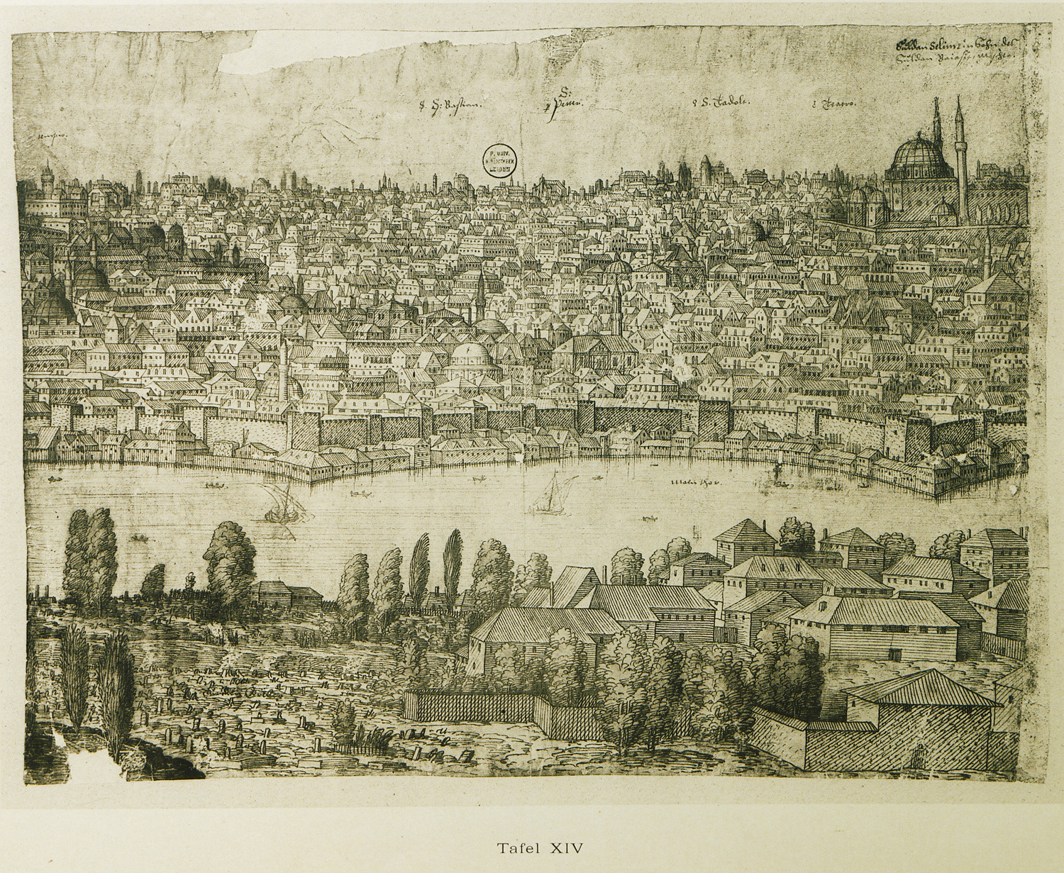
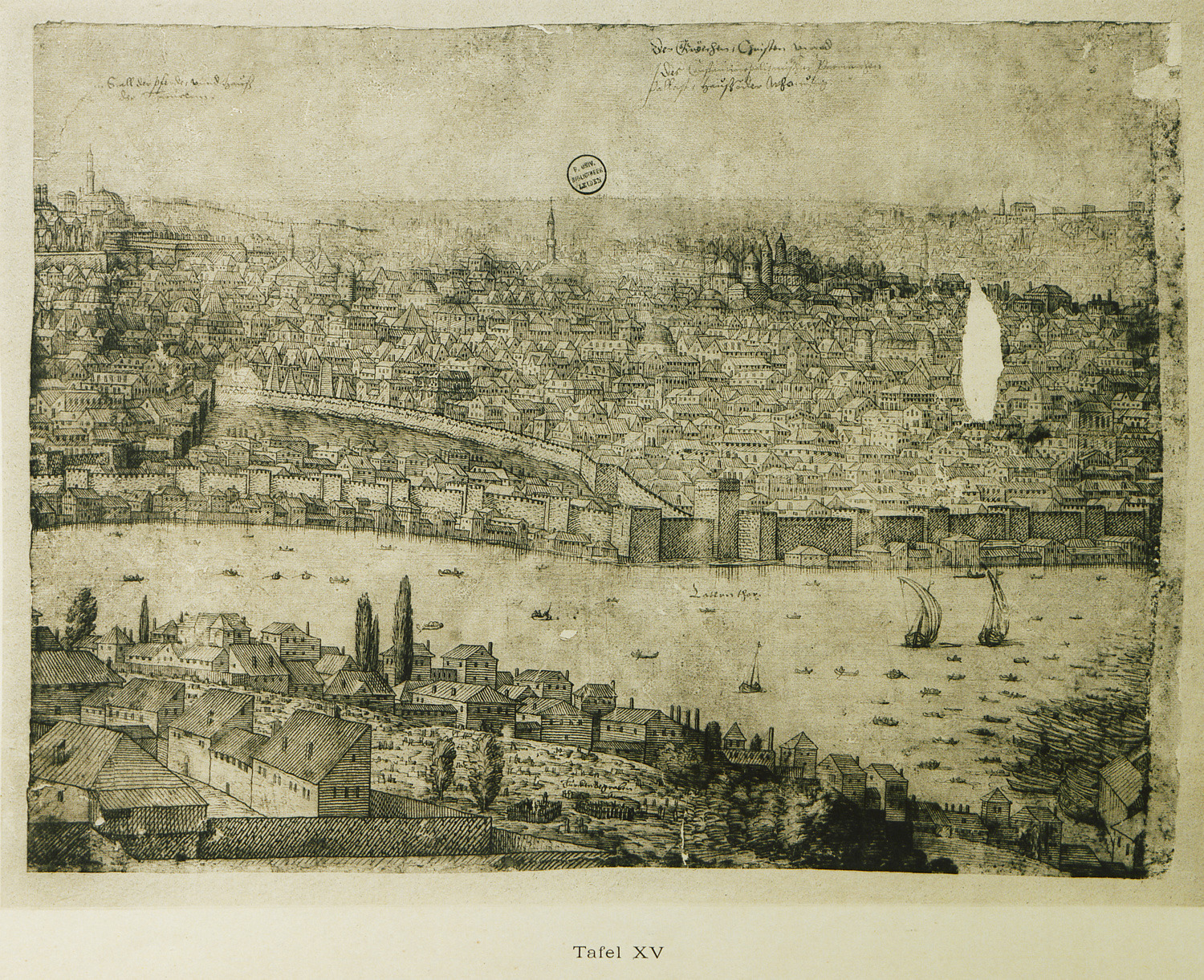
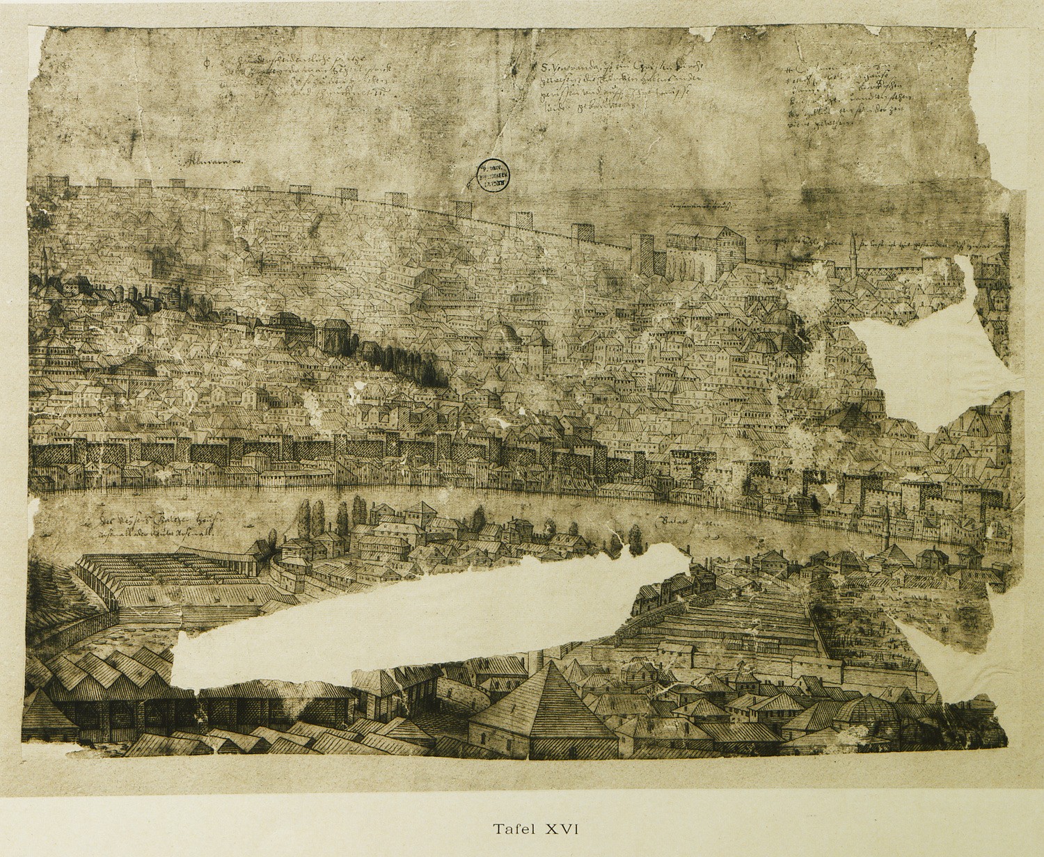
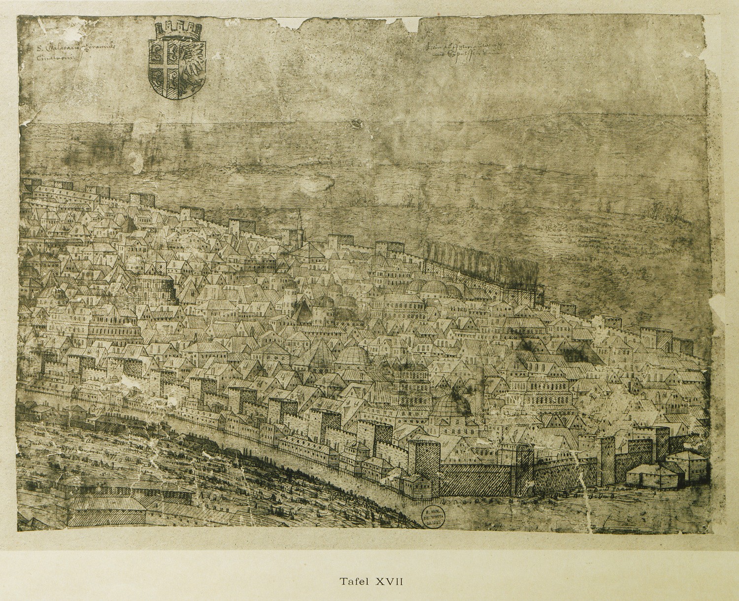
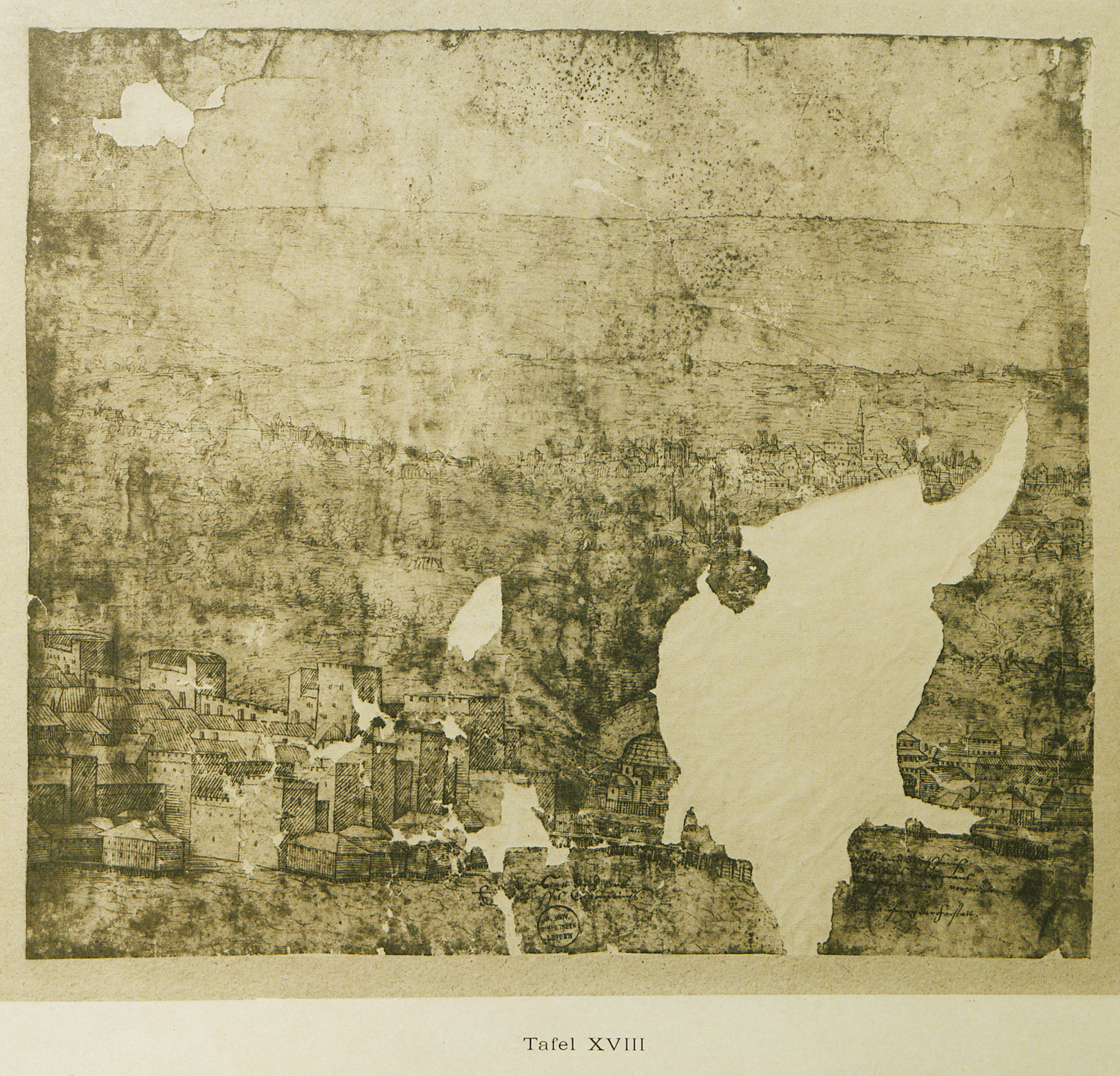
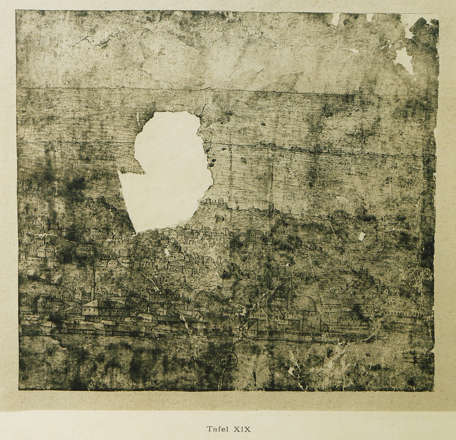
Part of the panoramic view of Istanbul: the western shore of the Golden Horn.
Part of the panoramic view of Istanbul: the western shore of the Golden Horn.
Part of the panoramic view of Istanbul: Kasimpasa shipyard is visible on the right.
Part of the panoramic view of Istanbul: the western shore of the Golden Horn.
Part of the panoramic view of Istanbul: the western shore of the Golden Horn.
Part of the panoramic view of Istanbul: the eastern shore of the Golden Horn, that is, the area surrounding Pera district.
Part of the panoramic view of Istanbul: the eastern shore of the Golden Horn, that is, the area surrounding Pera district.


