Messenia (306 Subjects)
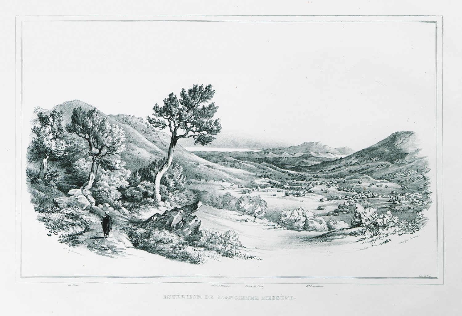
Landscape in ancient Messene.
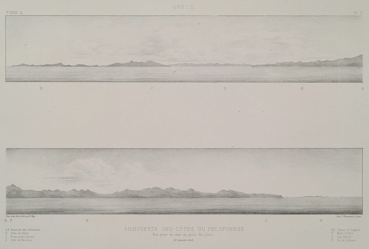
Drawings of the south coast of Peloponnese.
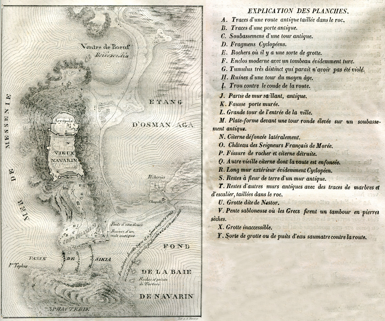
Topographical map of Pylos and surrounding area.
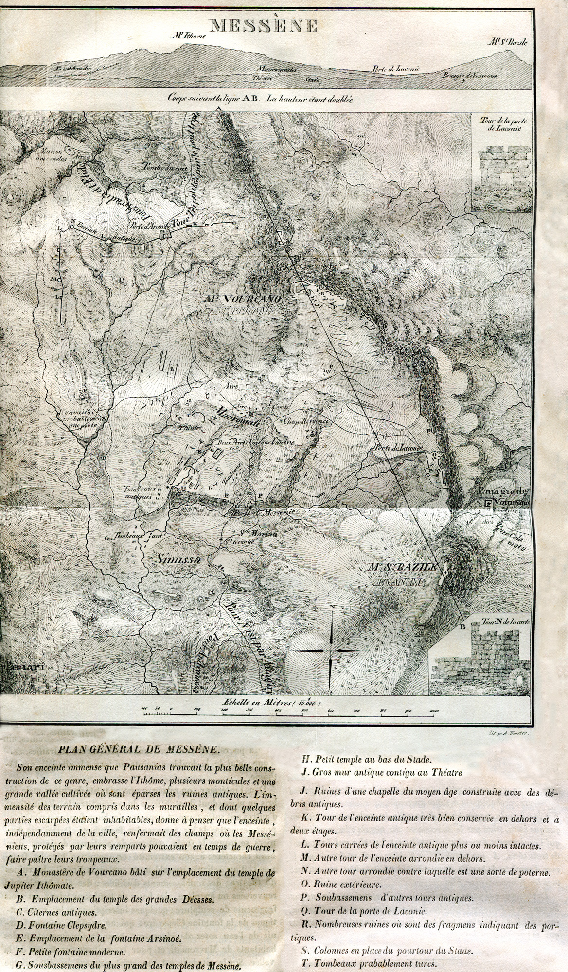
Topographical map of ancient Messene.
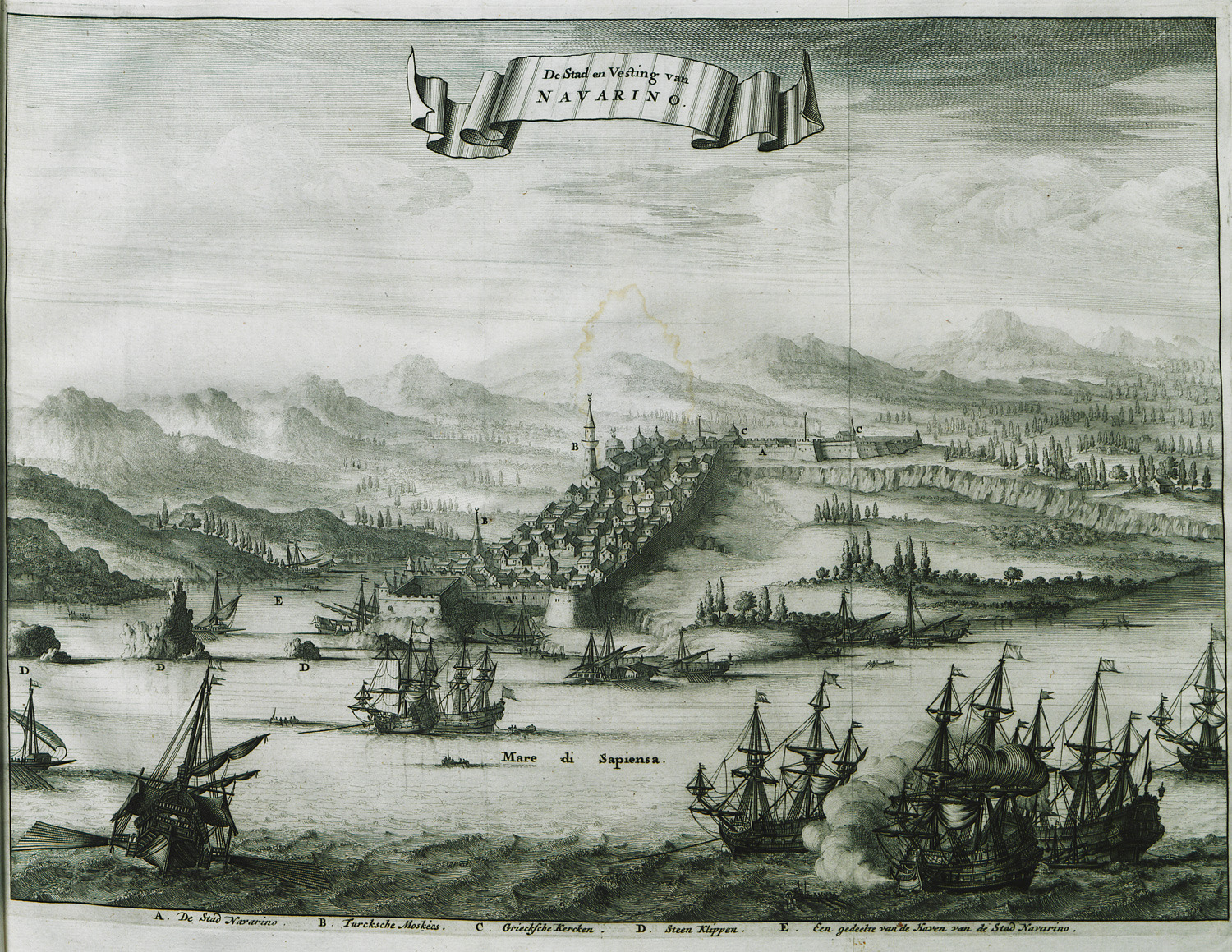
View of the Castle of Pylos (Niokastro) with reference to the sixth Ottoman–Venetian War.
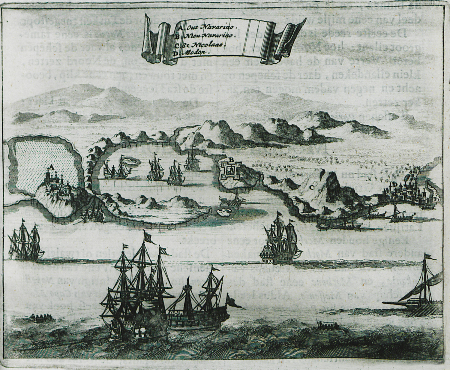
Views of the gulf of Pylos with Palaiokastro (Α), the Castle of Pylos (Niokastro) (Β), Agios Nikolais height (C) and Methoni (D).
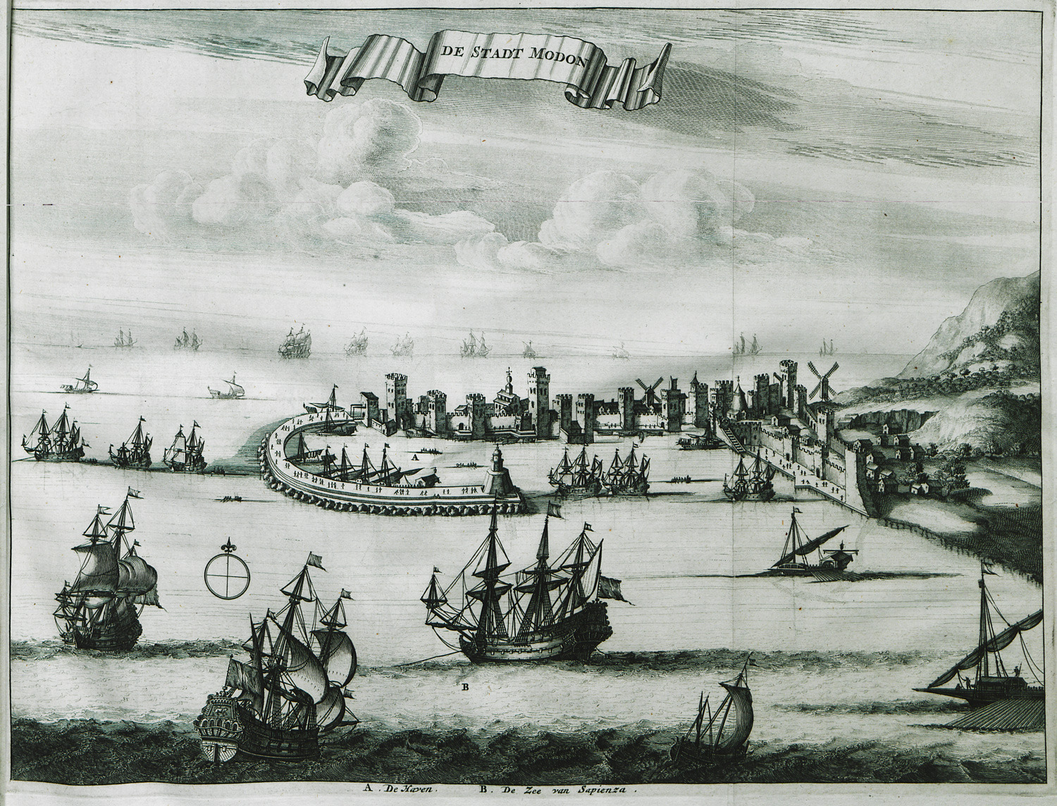
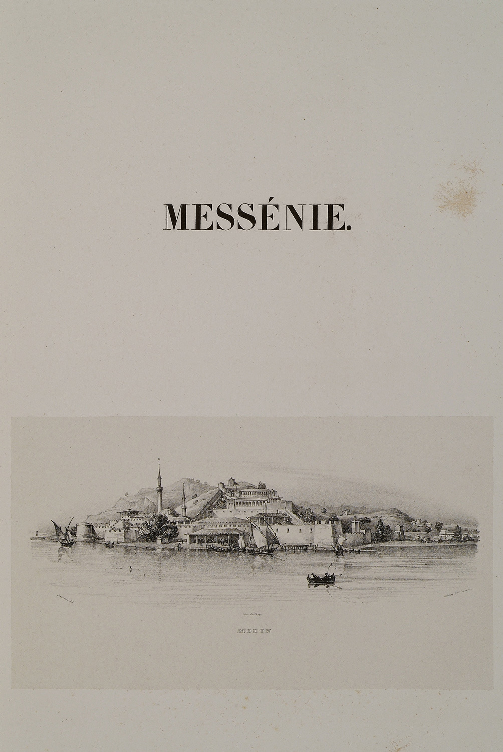
View of Methoni.
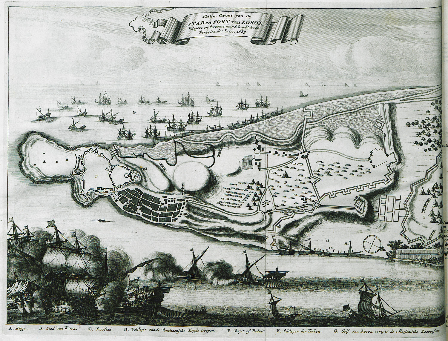
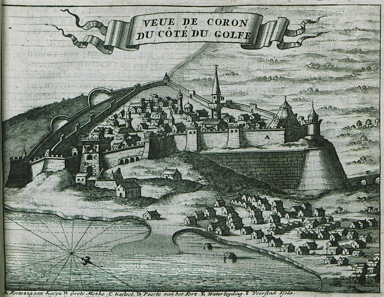
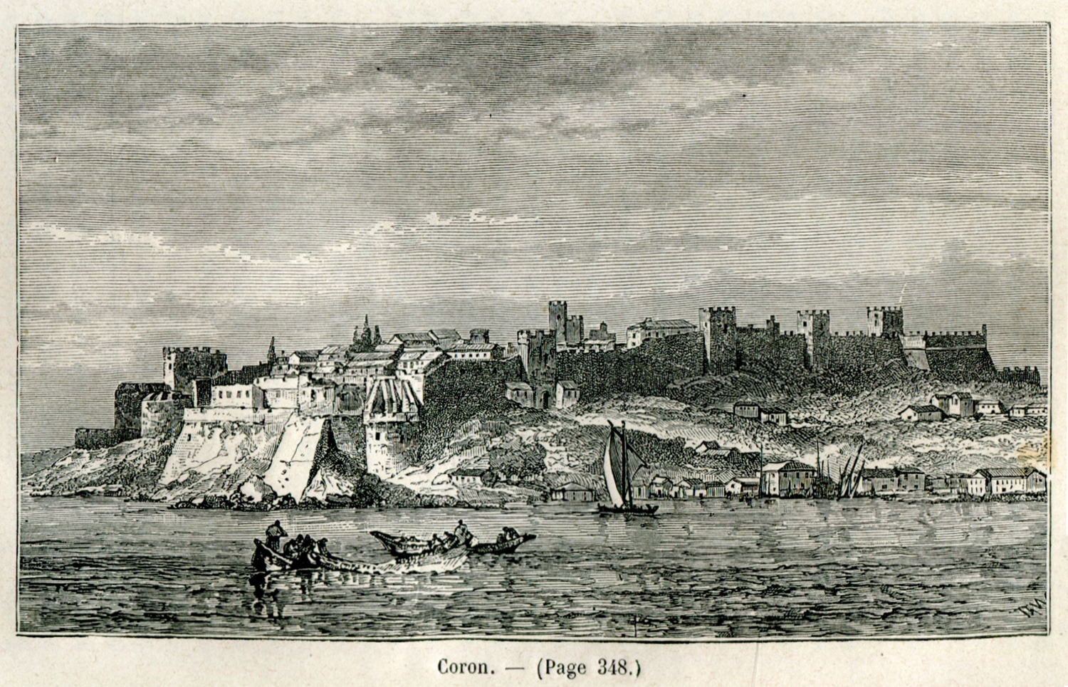
View of the city ans fortress of Koroni, with reference to the conquest of the city by the Venetians during the sixth Ottoman-Venetian War.
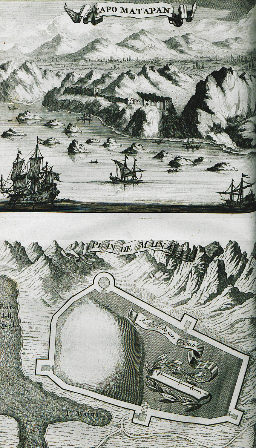
Cape Matapan. Plan of the Castle of Maini.
View of Κoroni from the sea.
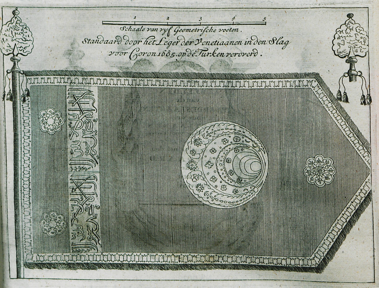
Ottoman banner the Venetian took during the conquest of Κoroni in 1685.
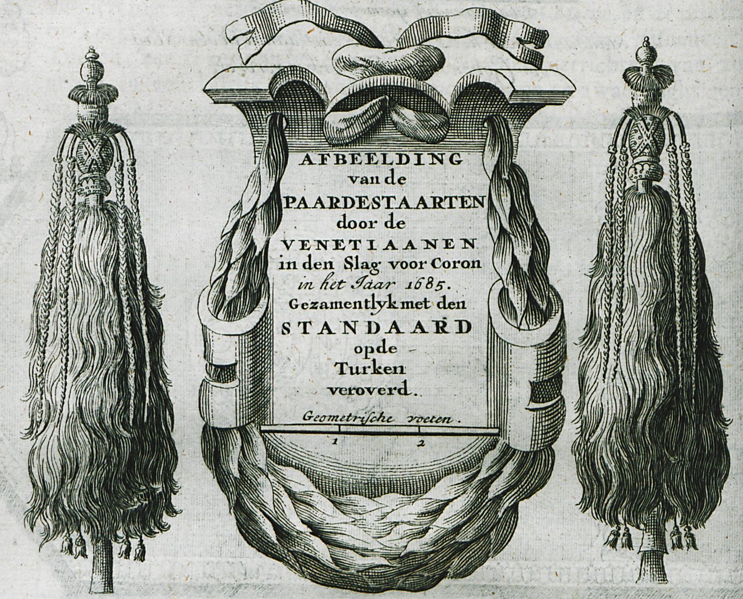
Tuğ (insignia of Ottoman officials)-the Venetians took as trophies after the conquest of Κoroni in 1685.
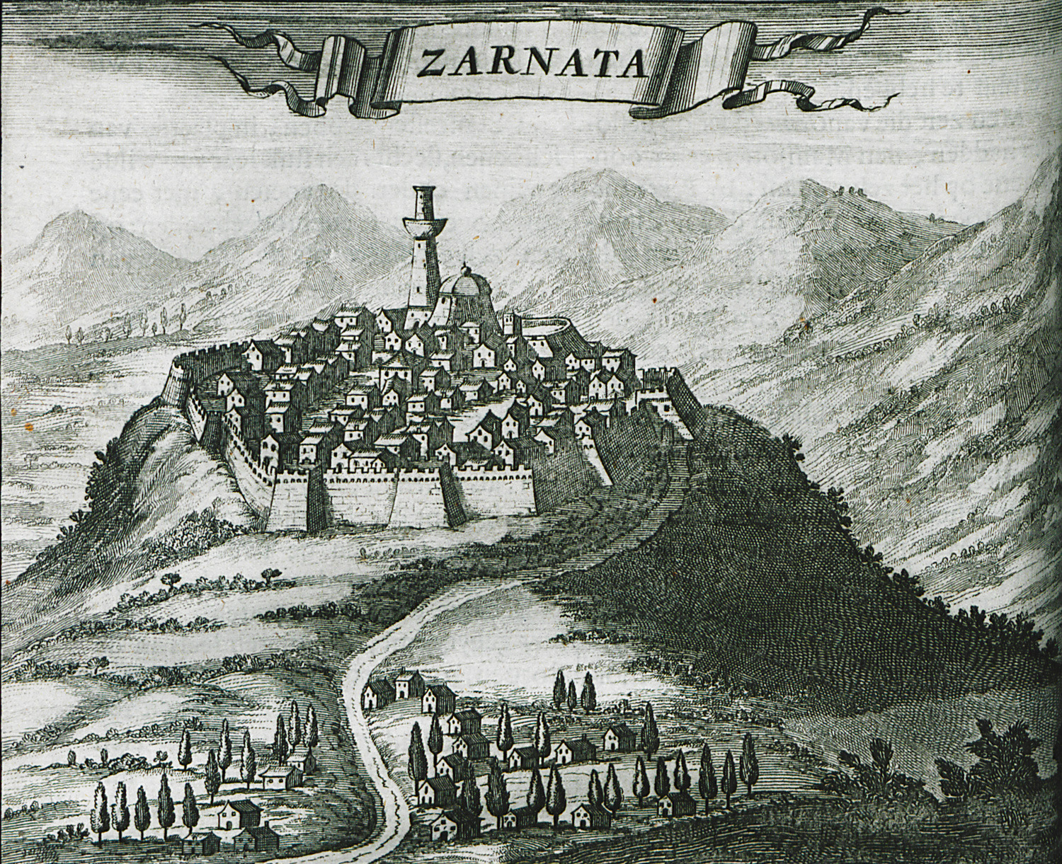
View of the Fortress of Zarnata in Mani.
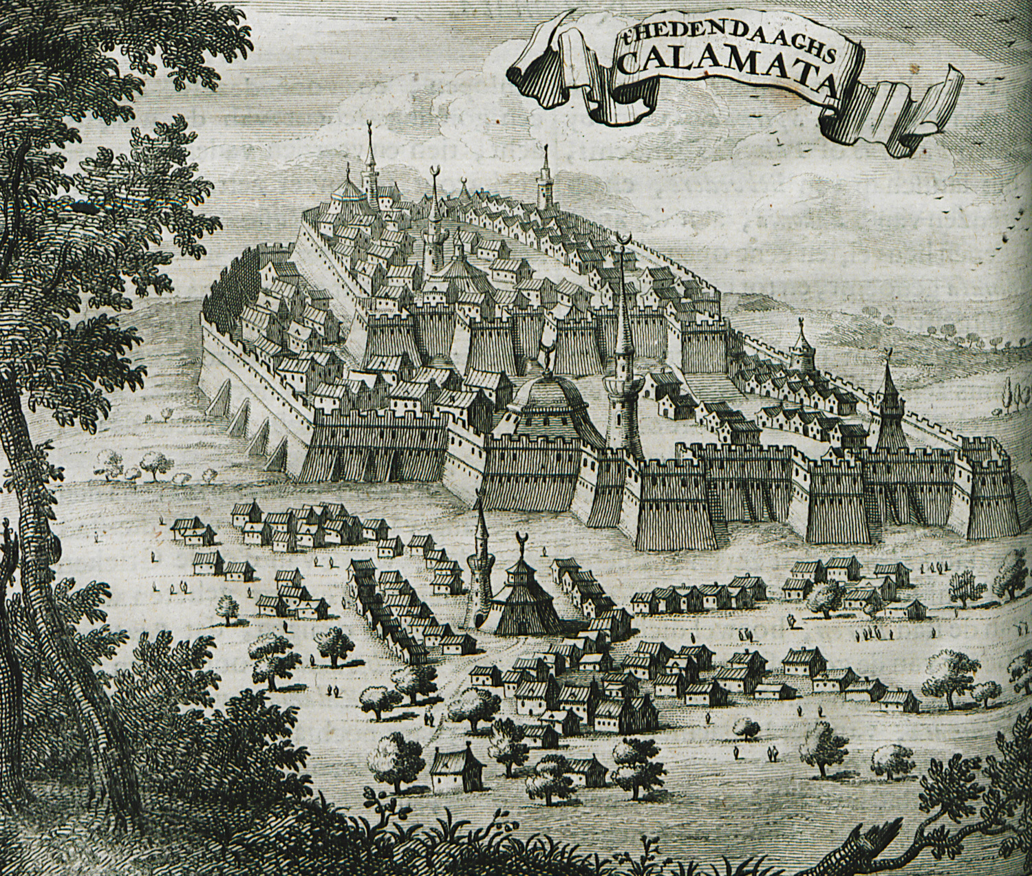
The city and the Castle of Kalamata.
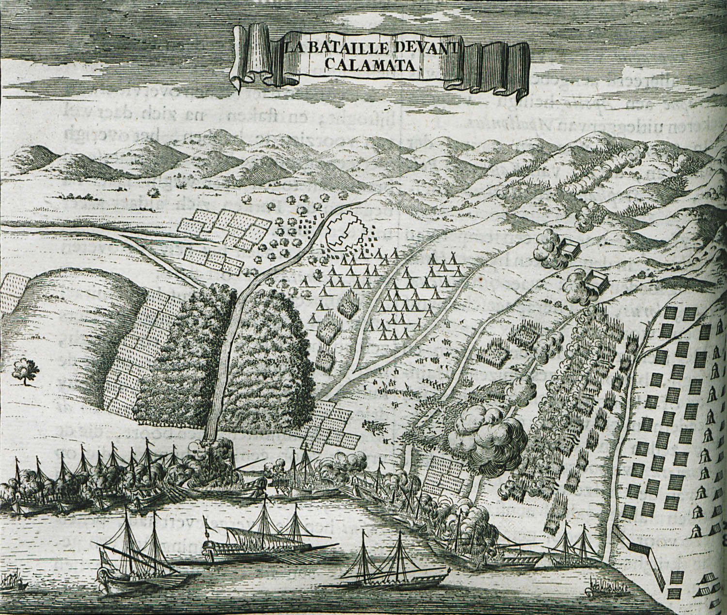
Military plans of the battle of Kalamata (1685), between the Venetians and the Ottomans.
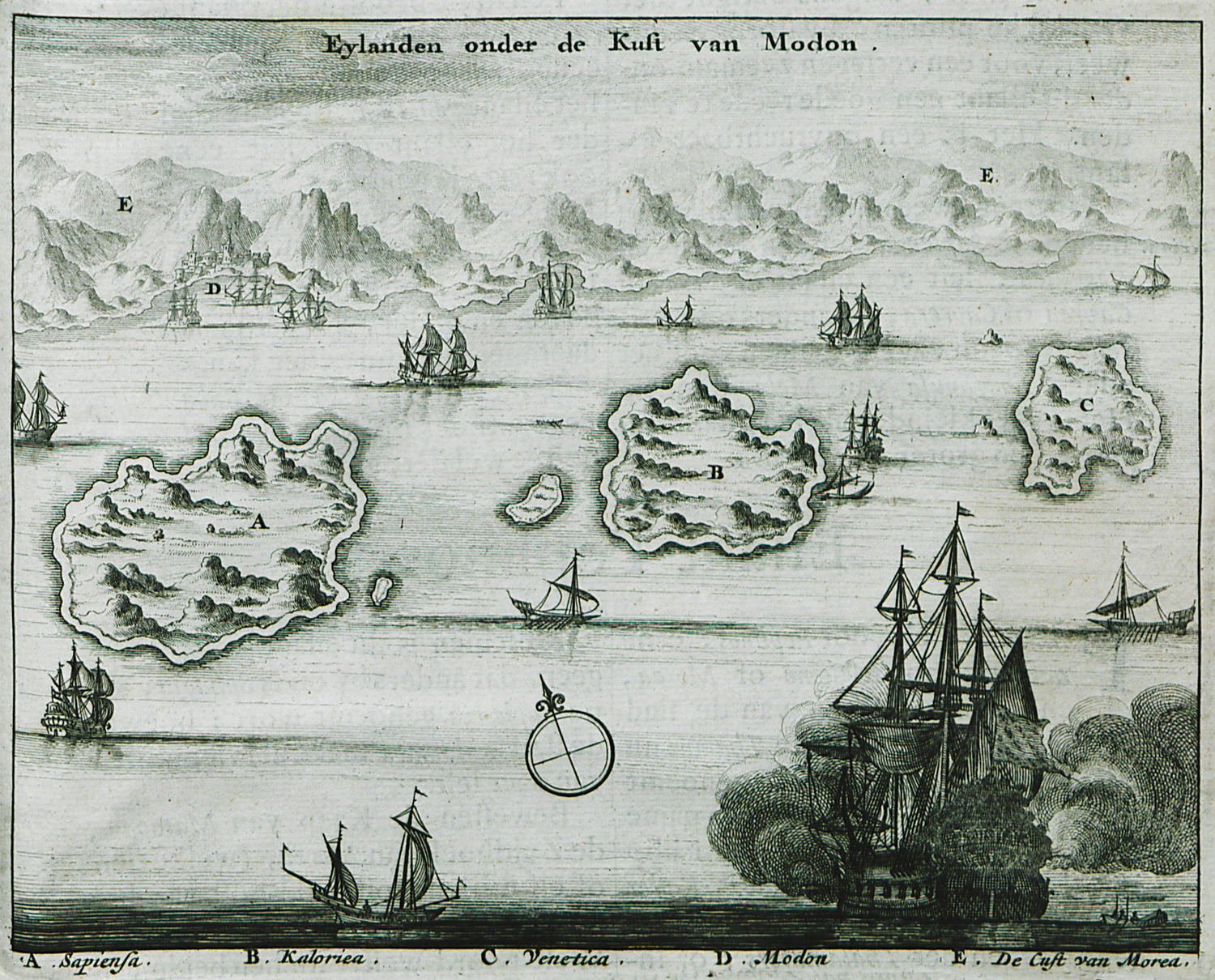
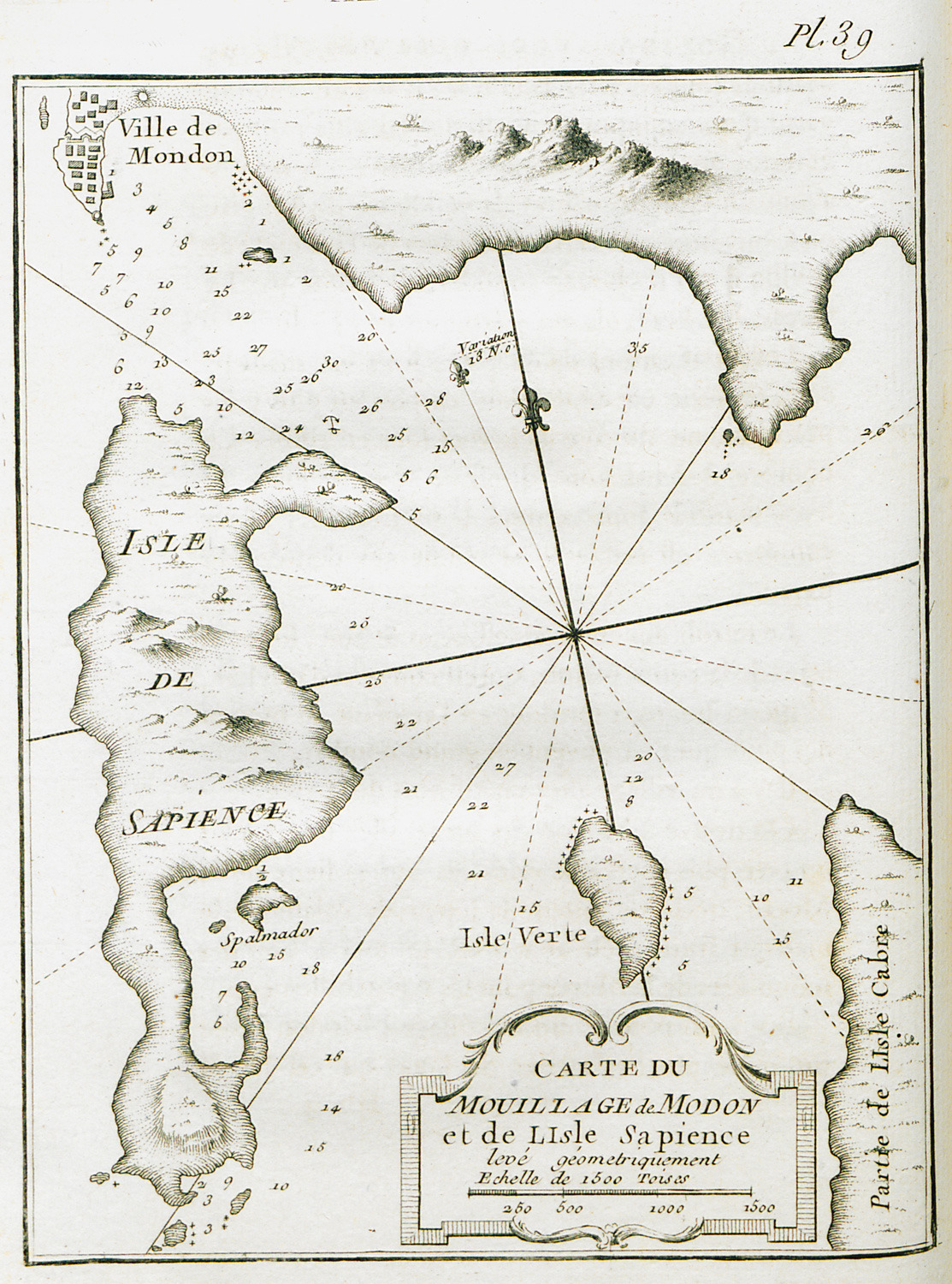
The islands Messenian Oinousses: Sapienza island, Schiza island and Venetico island.
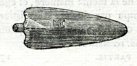
Bronze lance from Ithomi, Peloponnese.
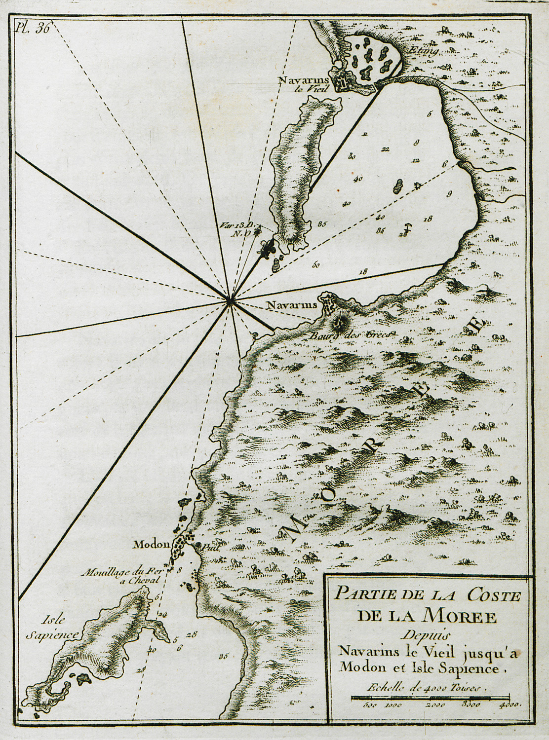
Map of the Peloponnese coastline, from the bay of Navarino to Methoni and Sapienza.
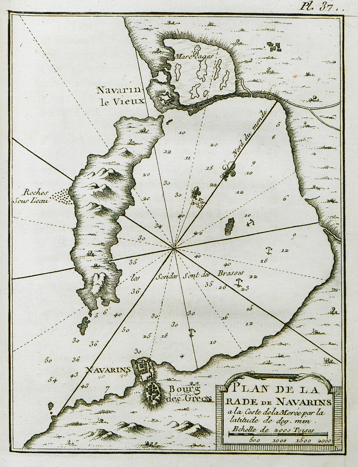
Map of the bay of Navarino.
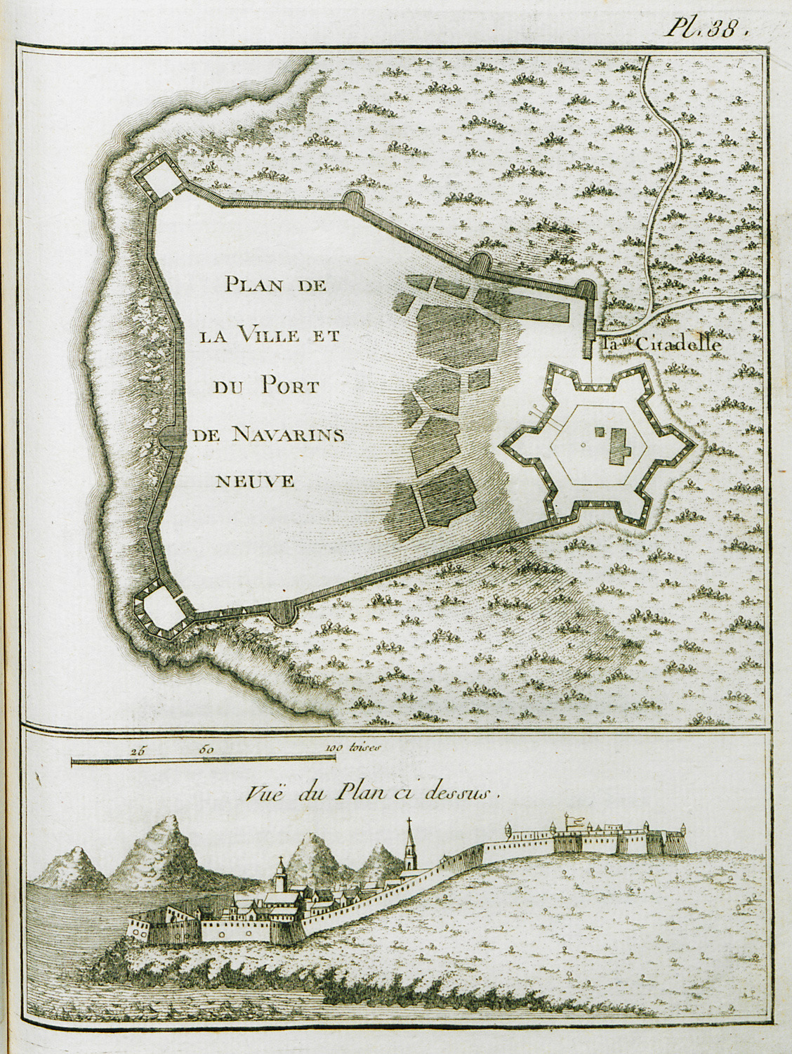
Map of the port and castle of Pylos (Niokastron).
Map of the anchorage in Methoni and Sapienza island.
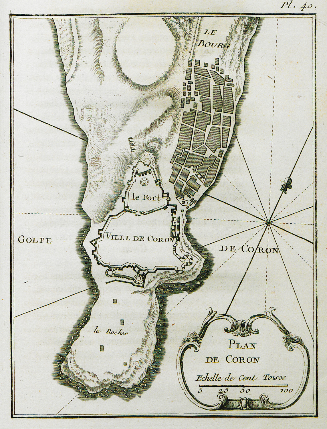
Map of Koroni.
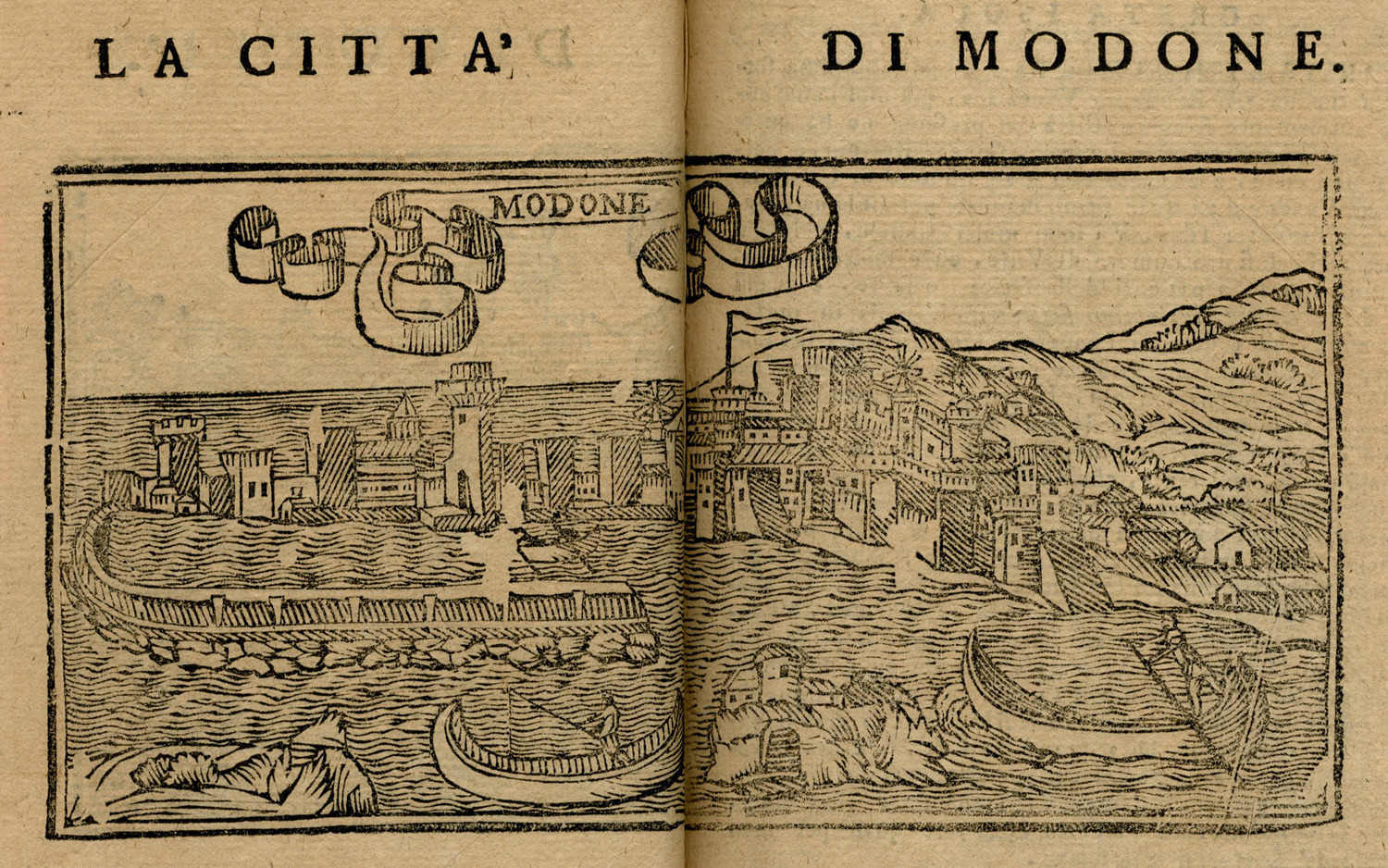
View of Methoni.
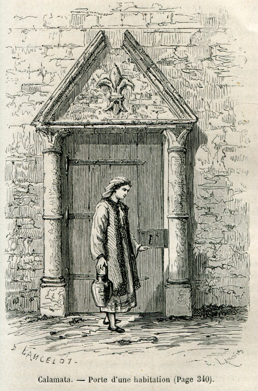
Entrance of a house, Kalamata.
View of Κoroni, Peloponnese
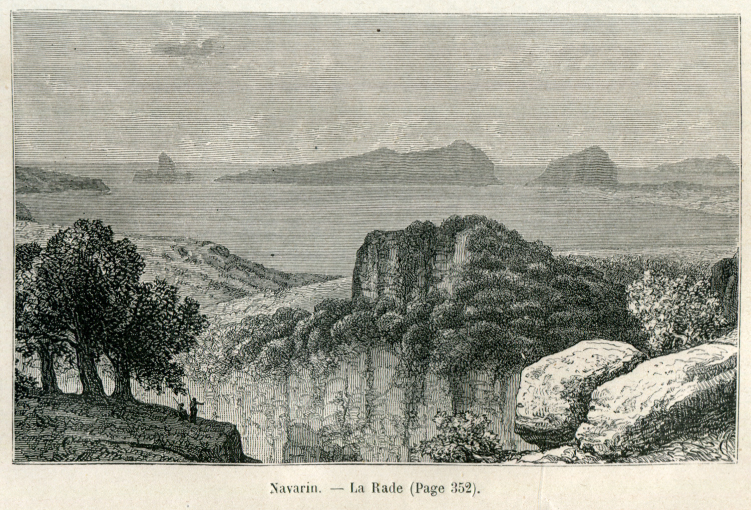
The bay of Navarino.
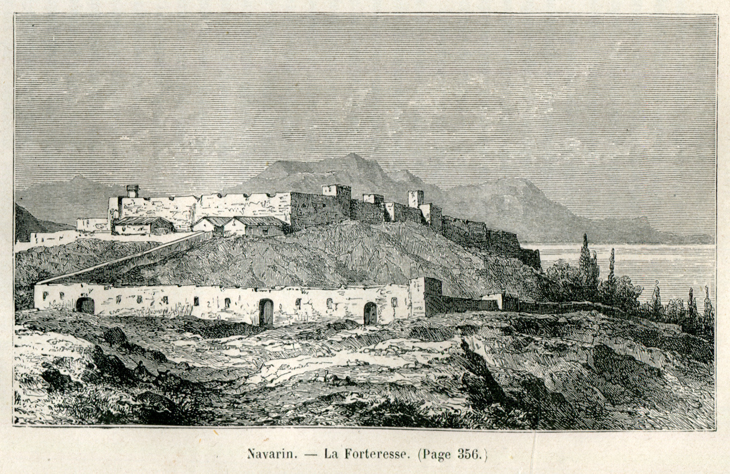
Niokastron, the new fortress of Pylos, which was used as a prison at the time of the author's visit.
Chapter page. View of Methoni.
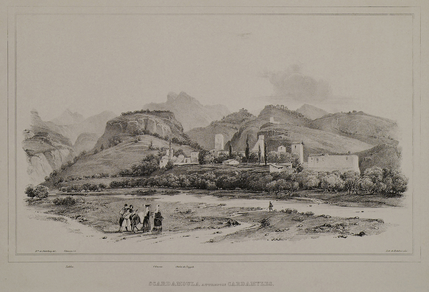
View of Kardamyli, Mani.
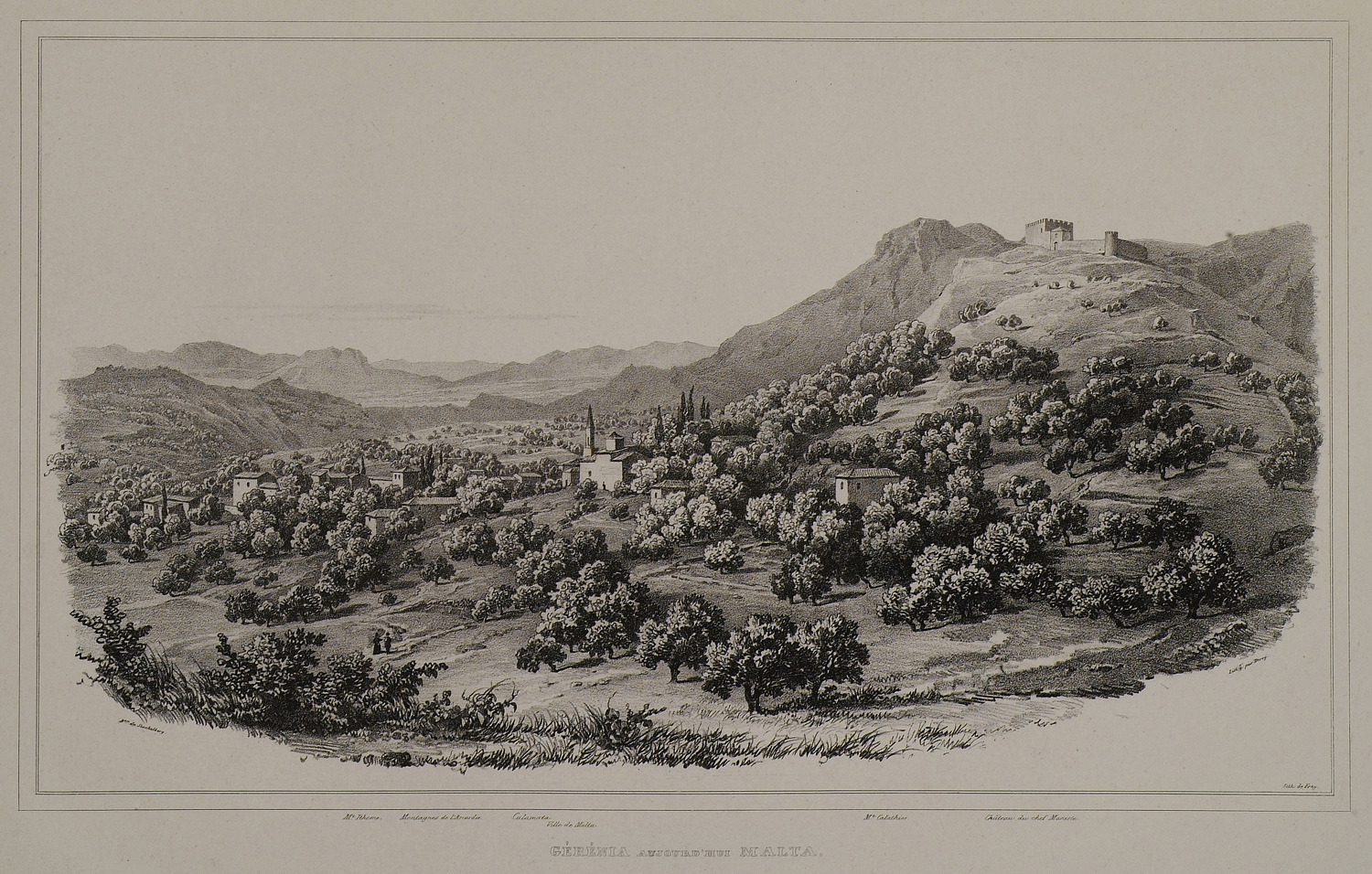
View of Malta in Messenia.


