Islands (323 Subjects)
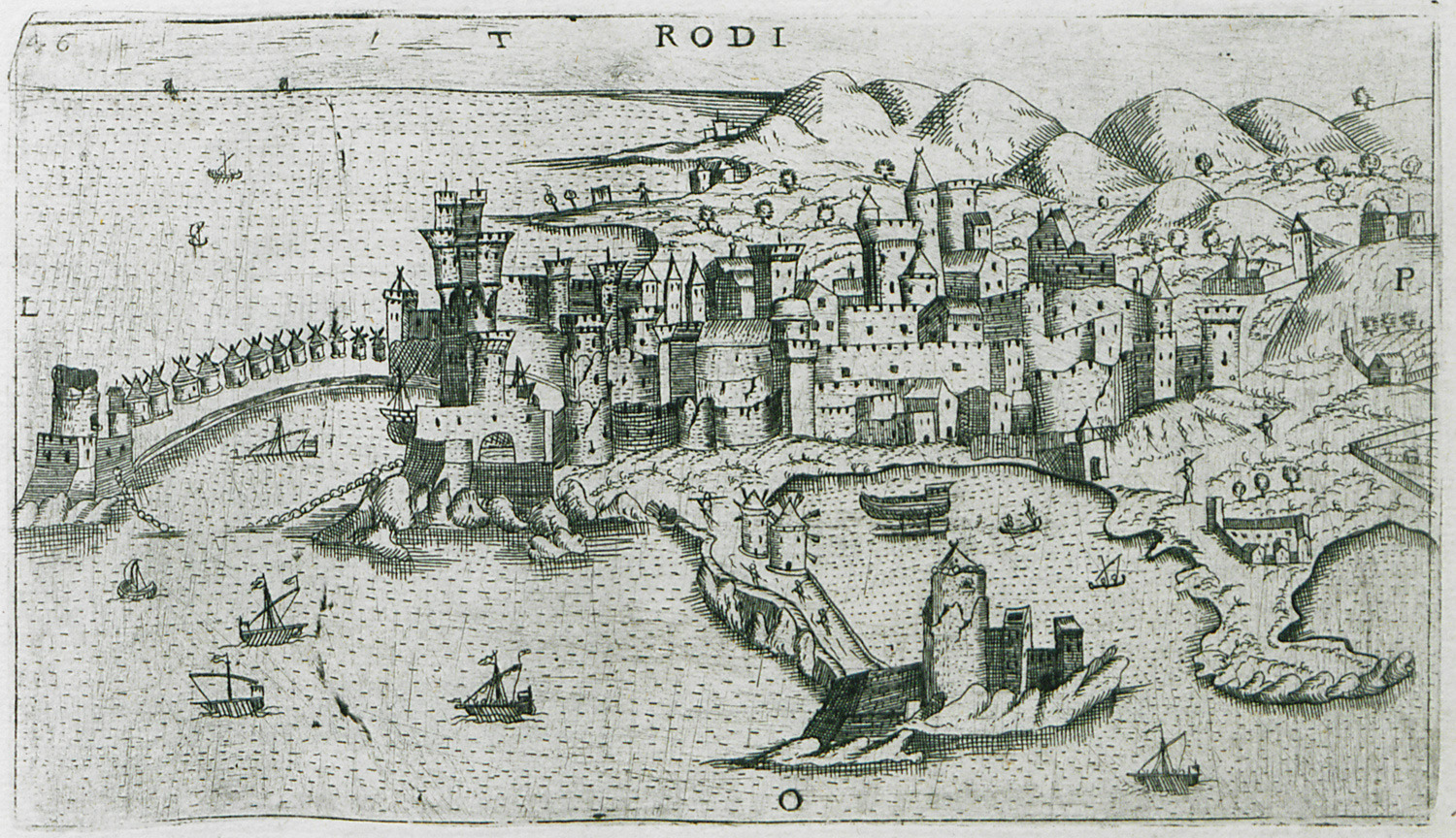
View of the medieval town of Rhodes.
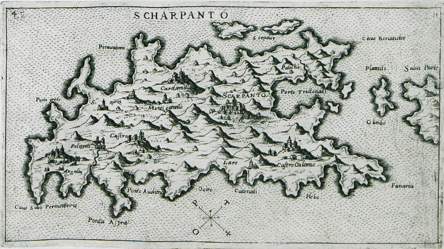
Map of Karpathos.
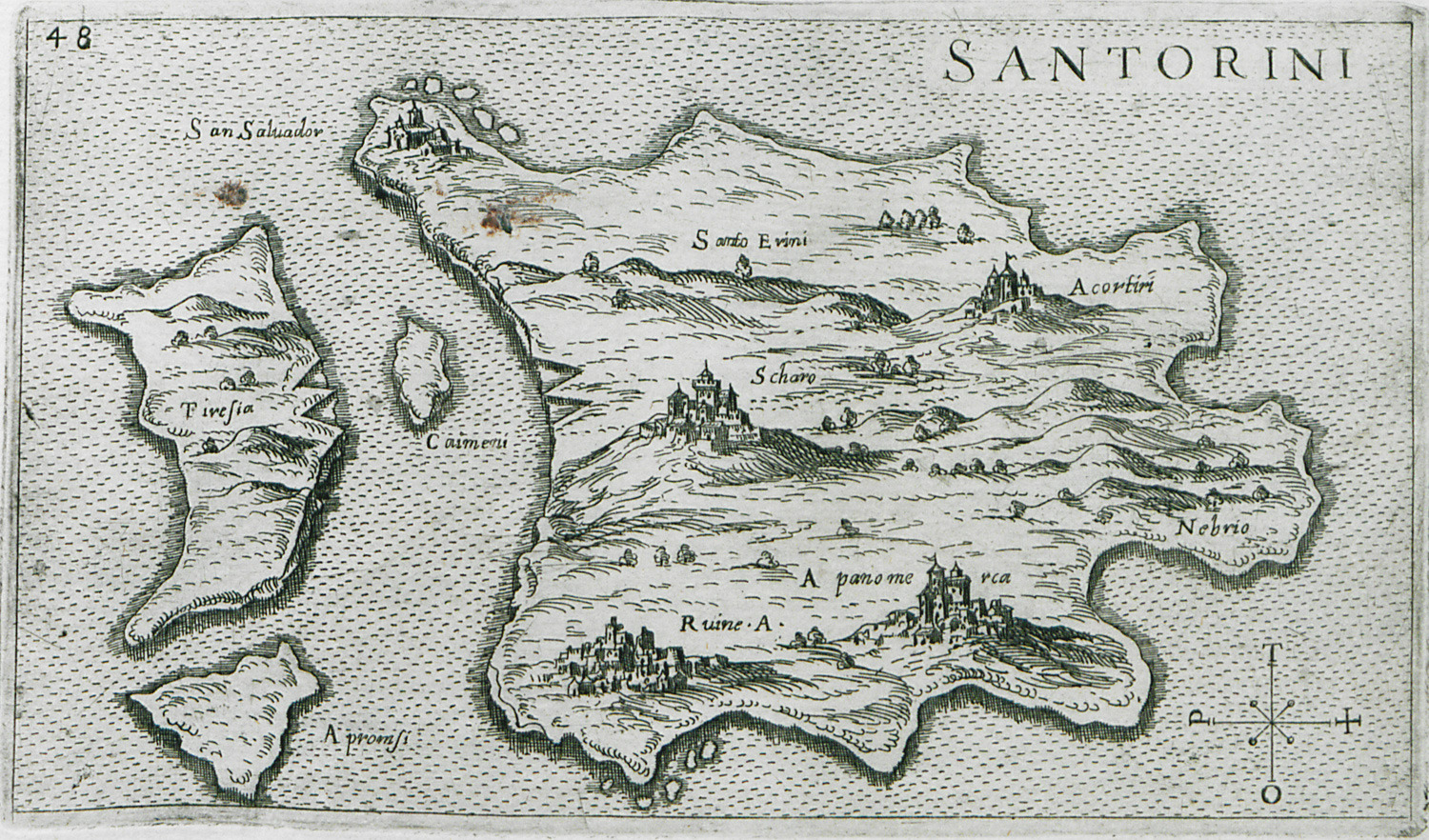
Map of the islands of Santorini, Kammeni, Thirasia and Aspronisi.
View of Anafi.
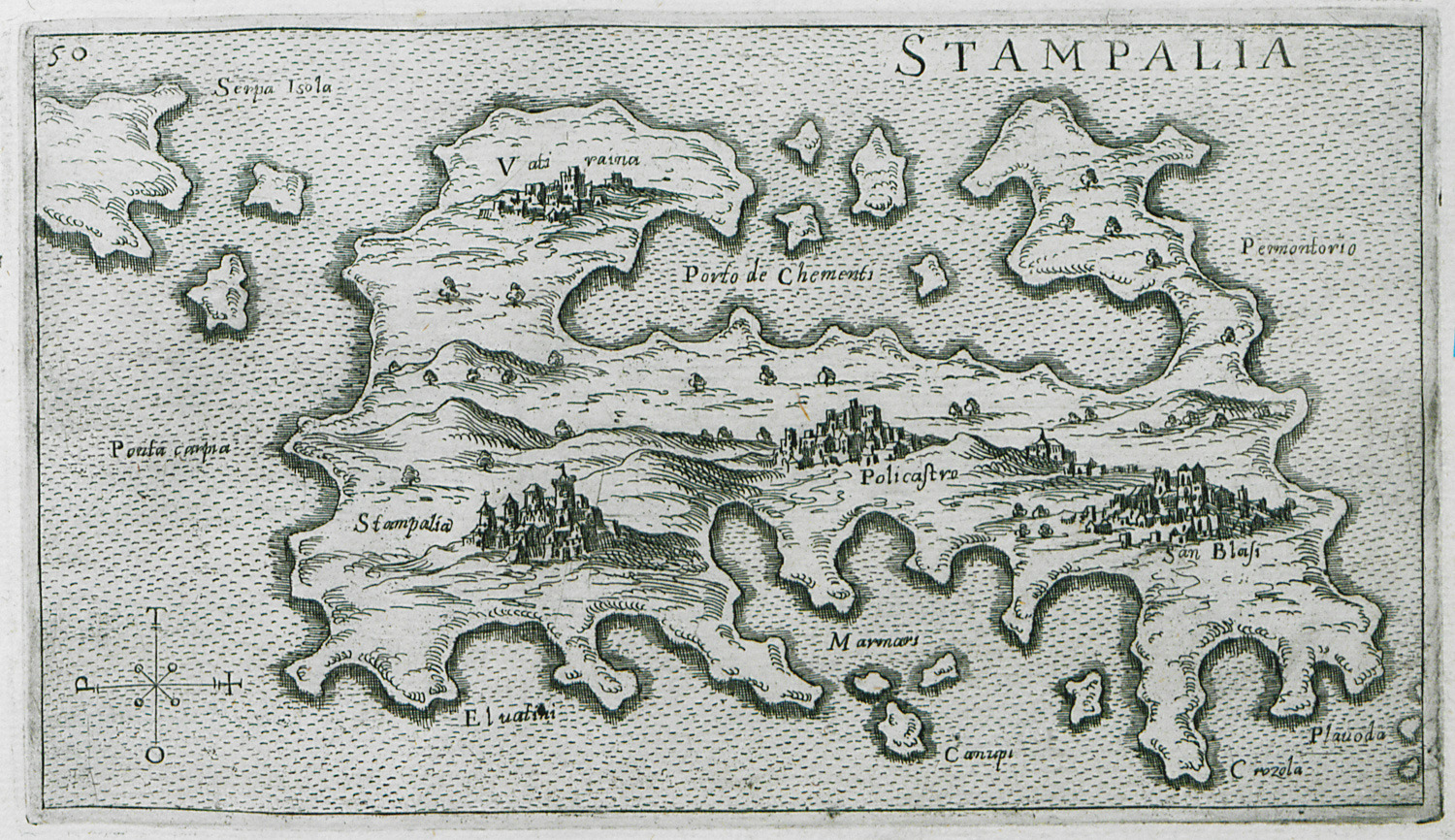
Map of Astypalaia.
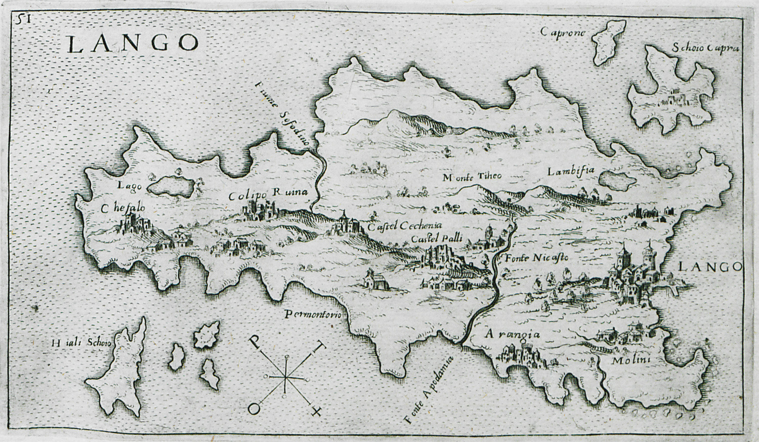
Map of Kos.
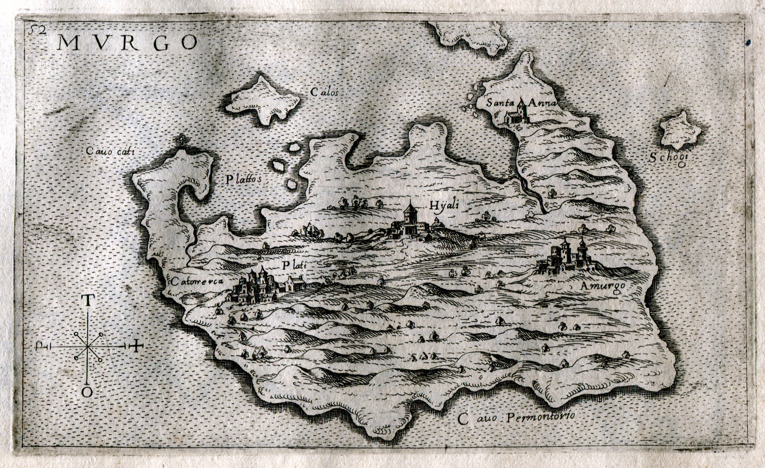
Map of Amorgos.
Map of Naxos.
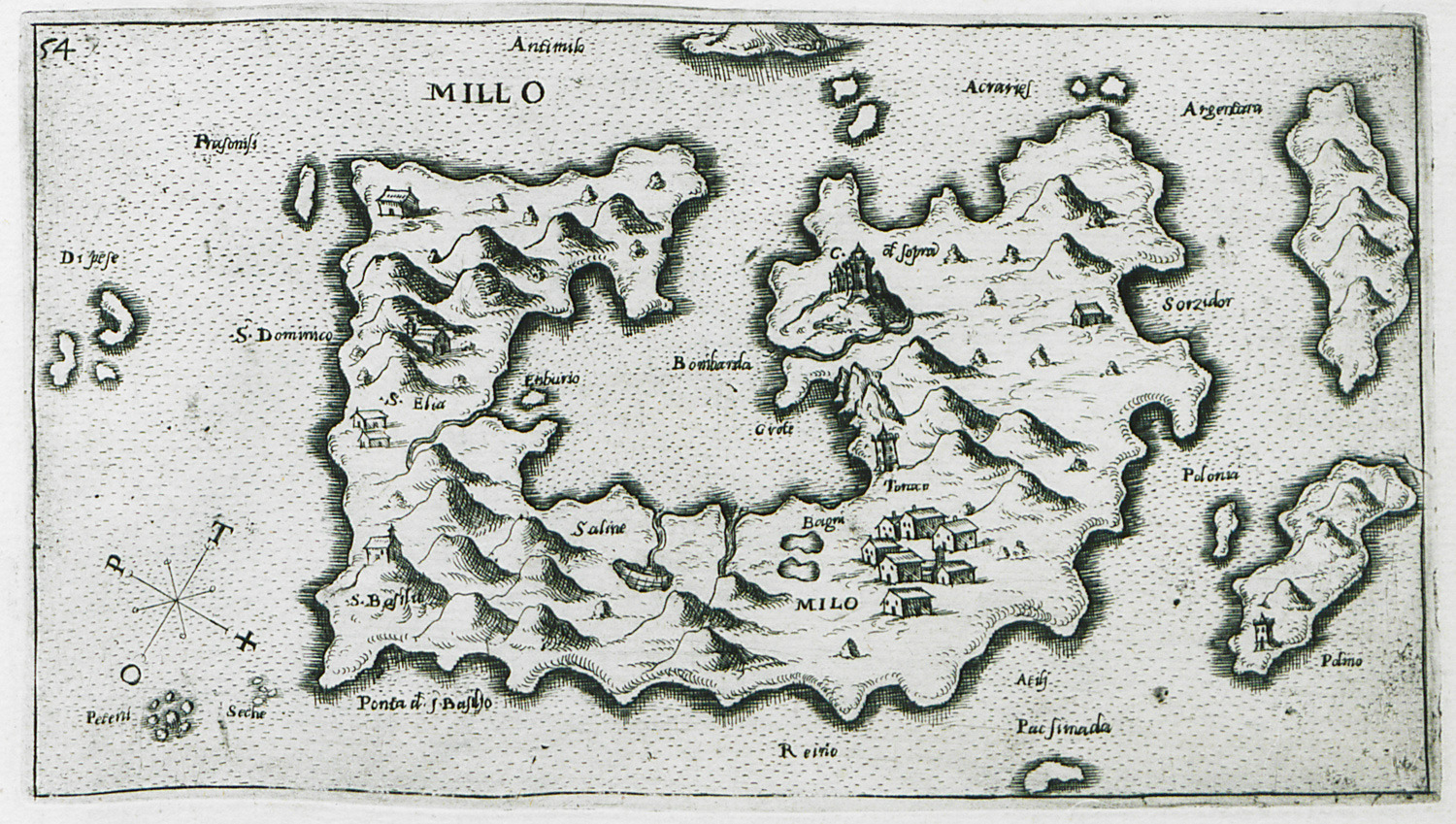
Map of Milos.
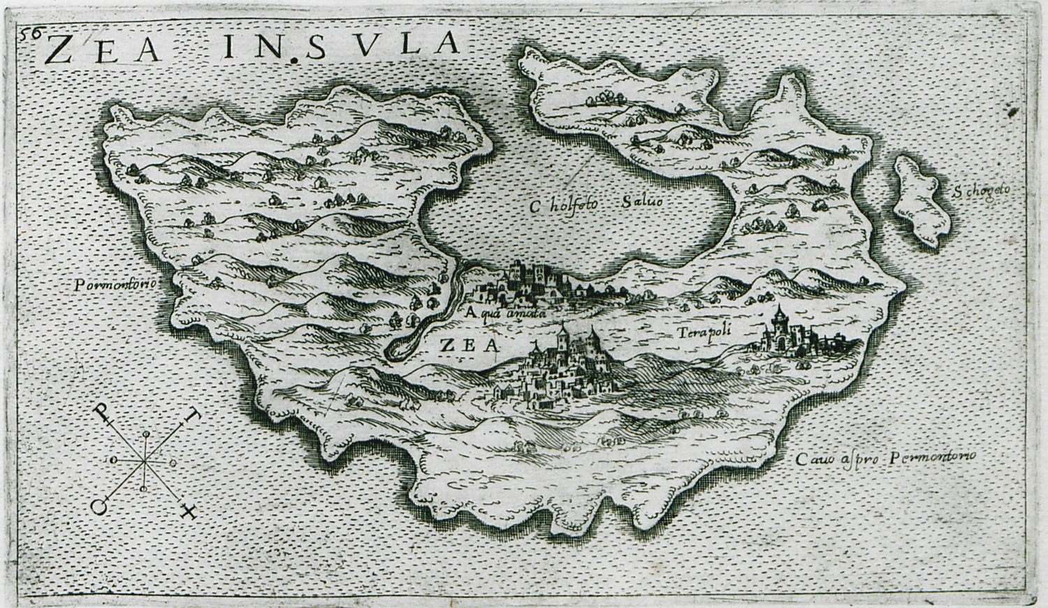
Map of Kea.
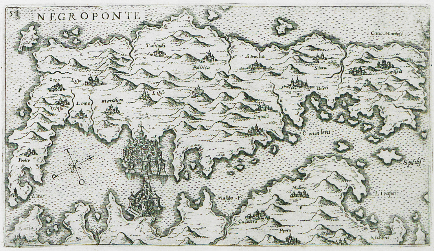
Map of Euboea.
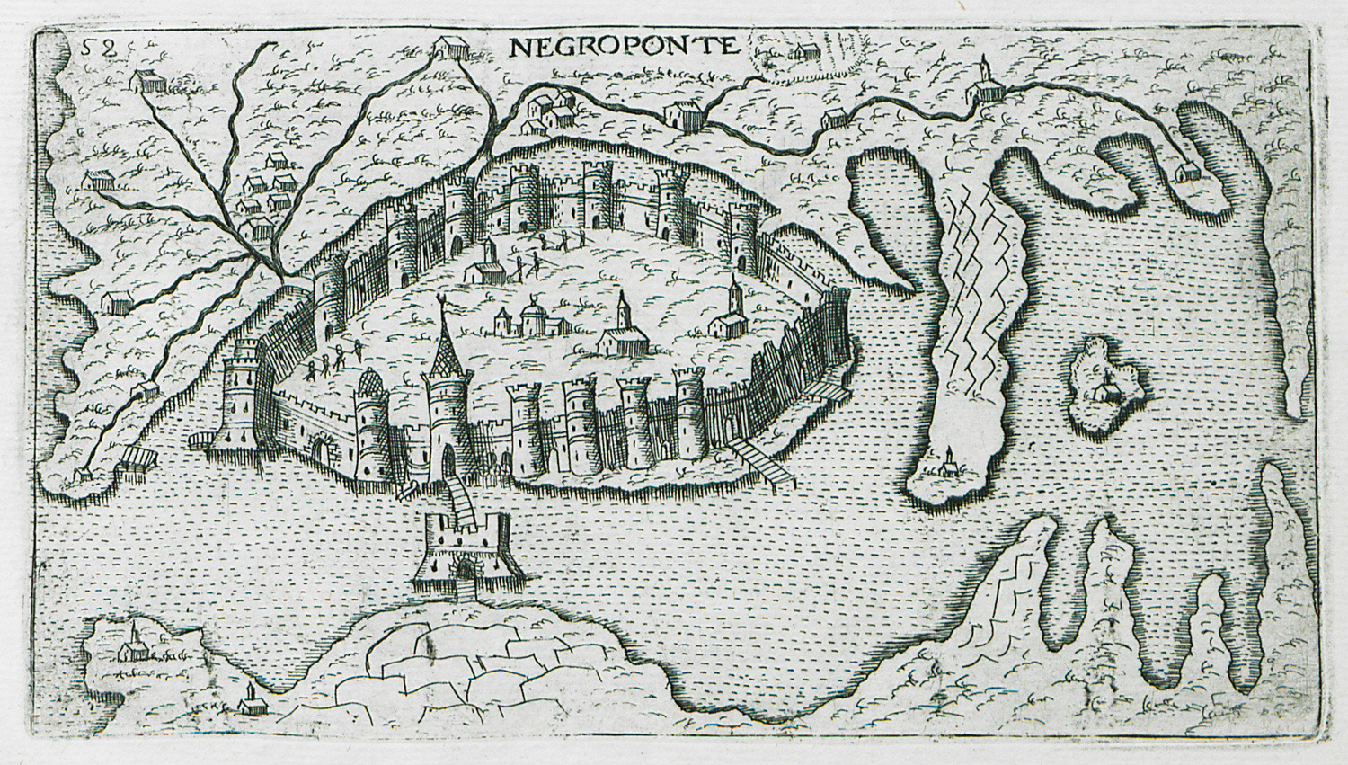
View of Chalkis.
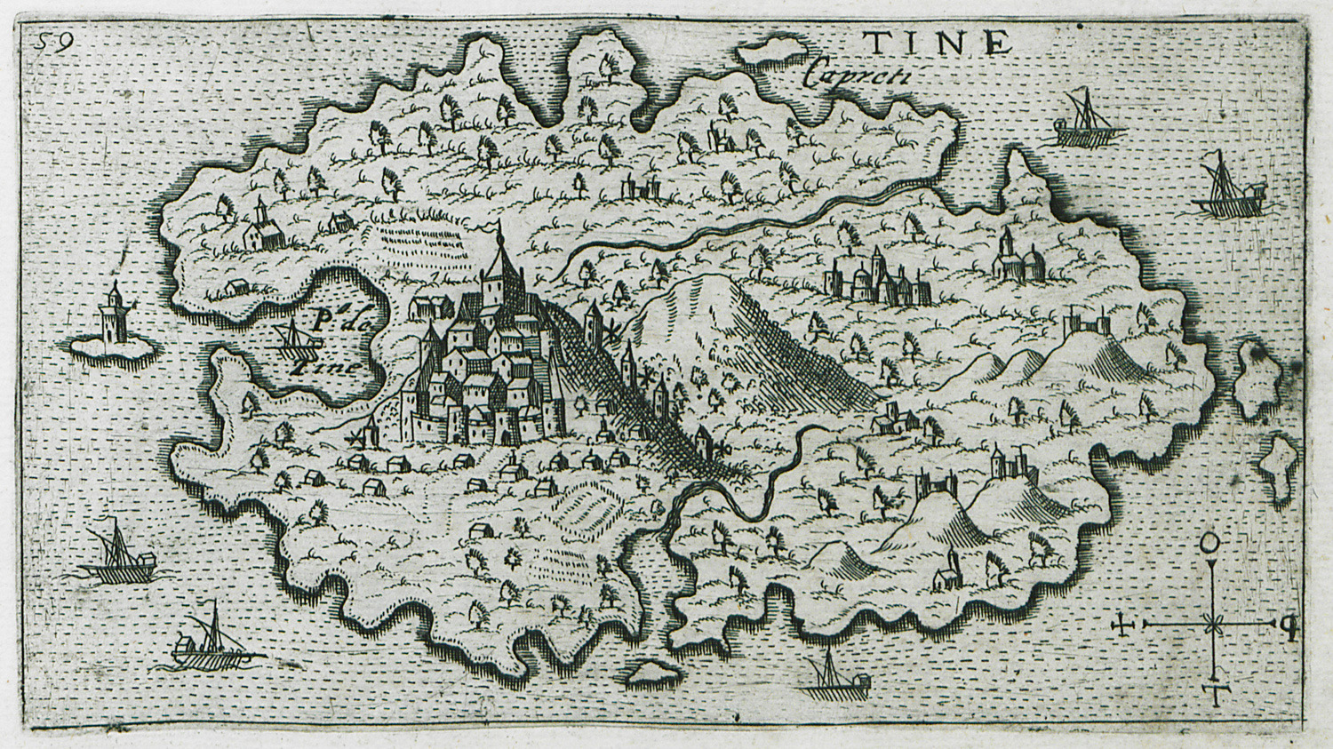
Map of Tinos.
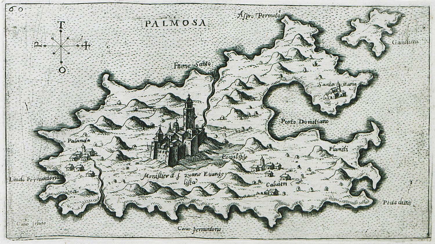
Map of Patmos.
Map of Icaria.
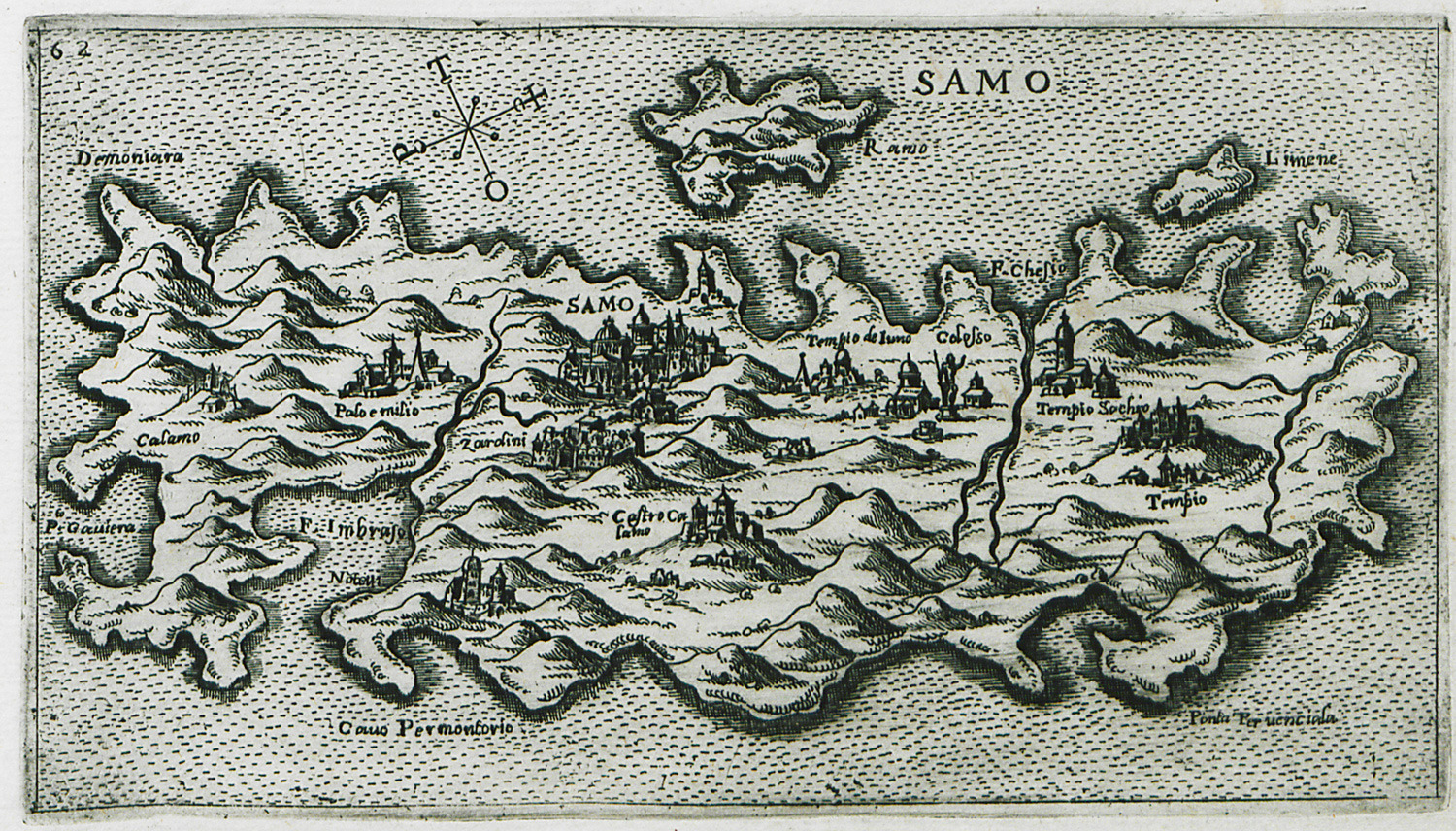
Map of Samos.
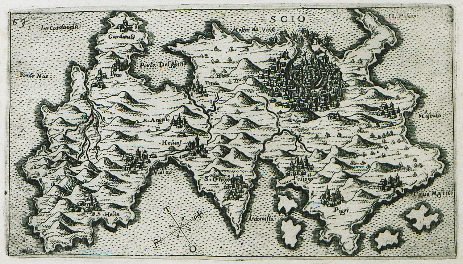
Map of Chios.
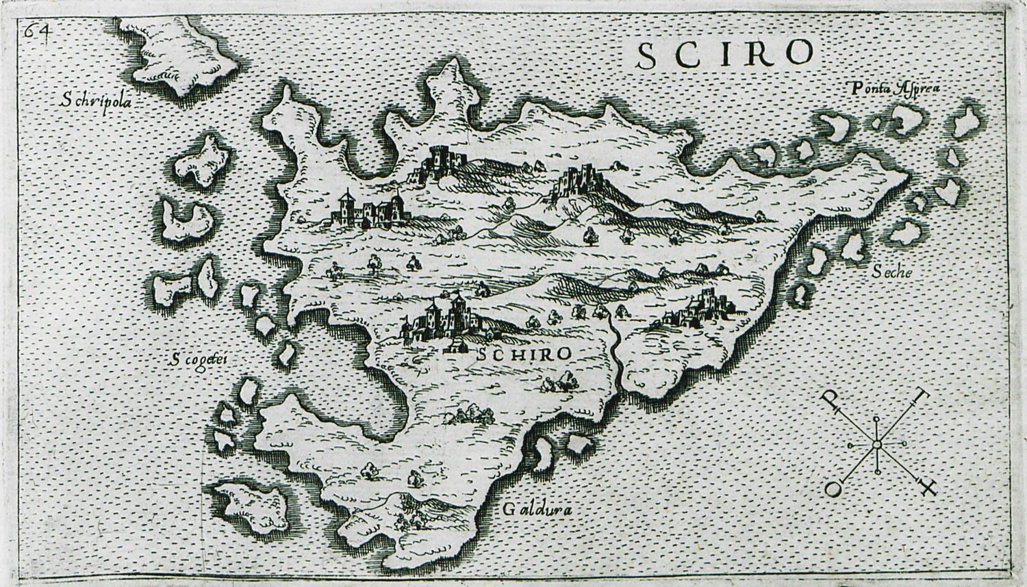
Map of Skyros.
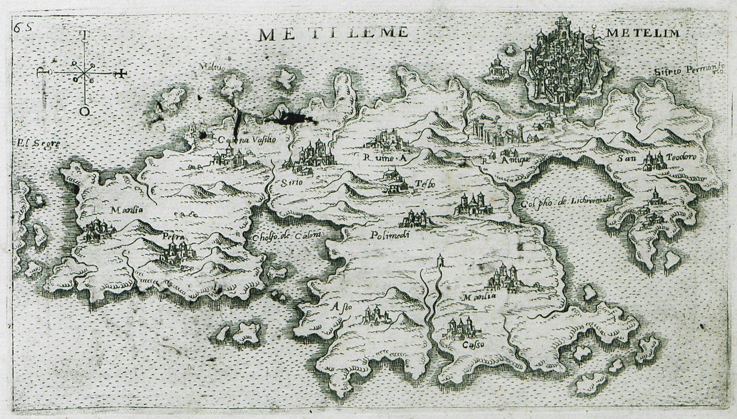
Map of Lesbos.
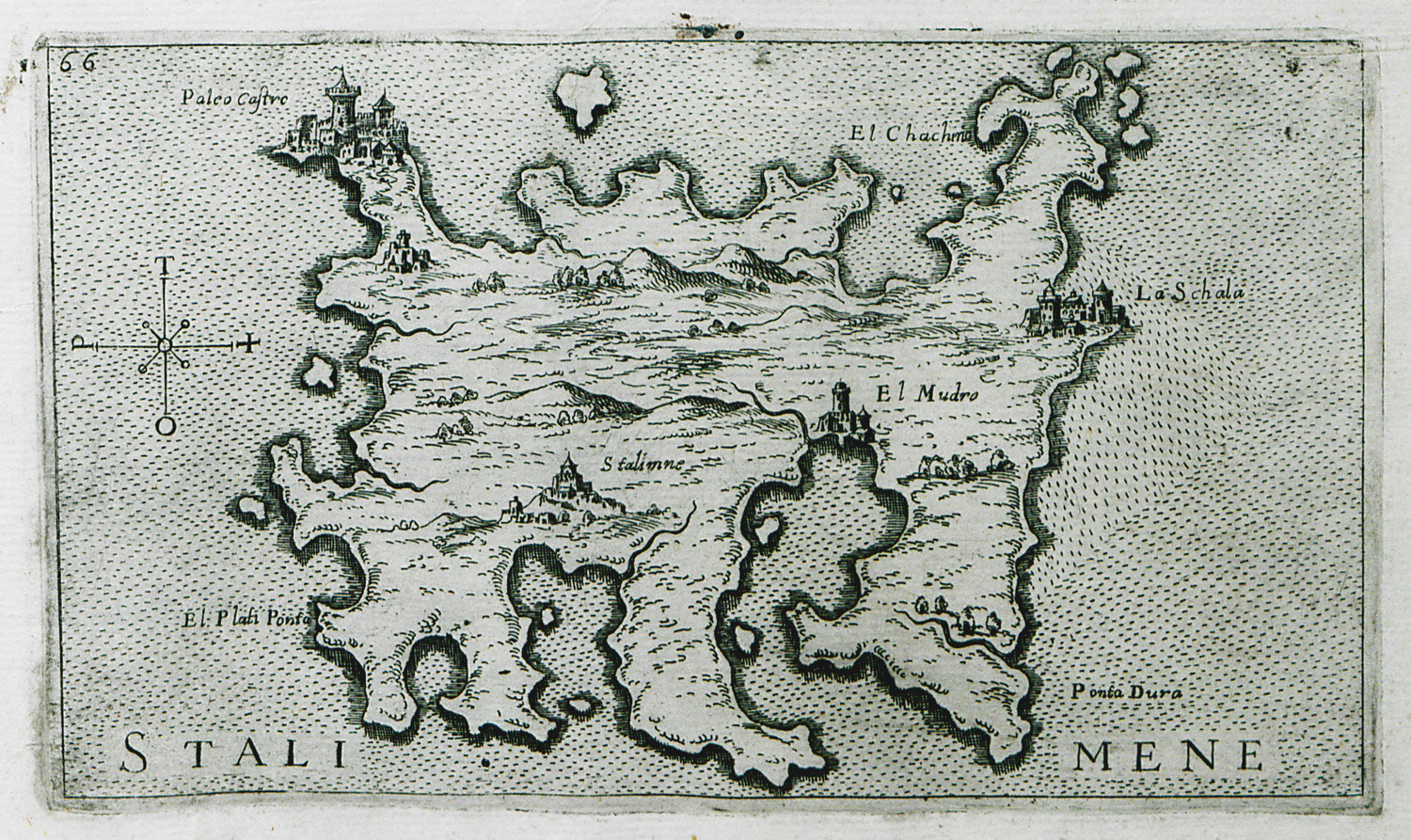
Map of Lemnos.
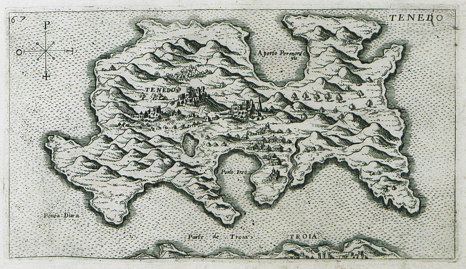
Map of Bozcaada (Tenedos).
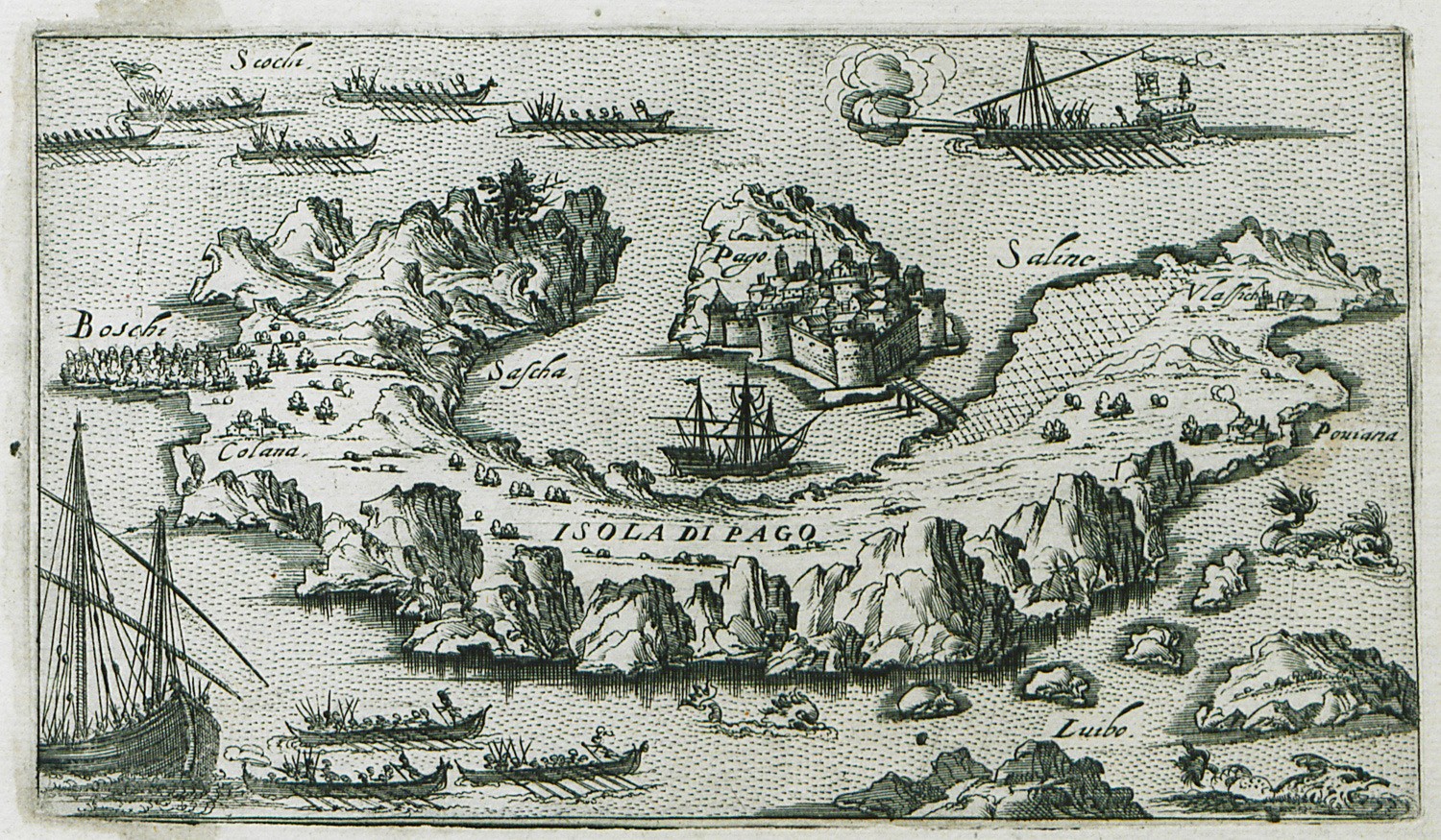
Map of Pag island in Croatia.
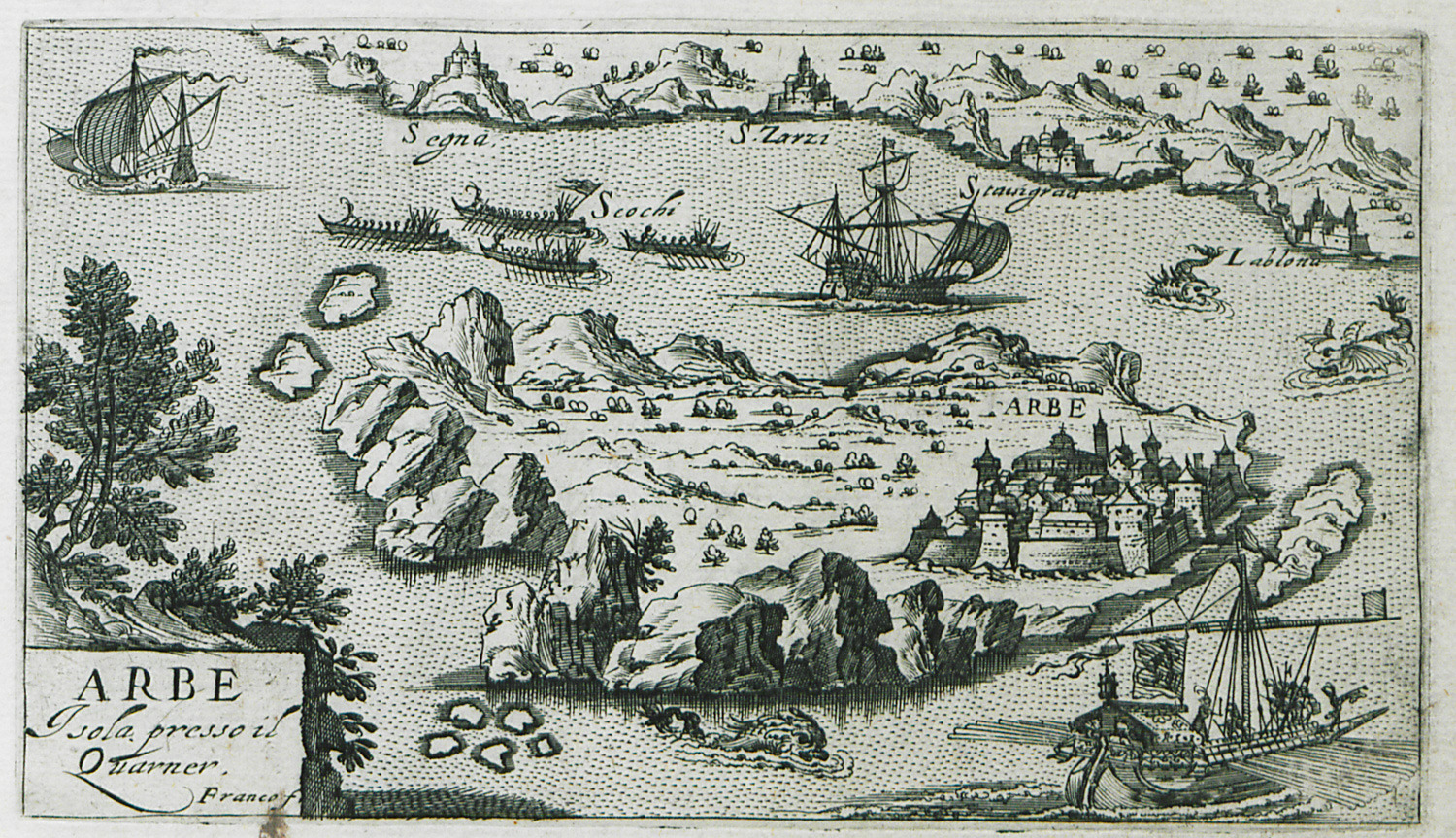
Map of Rab island in Croatia.
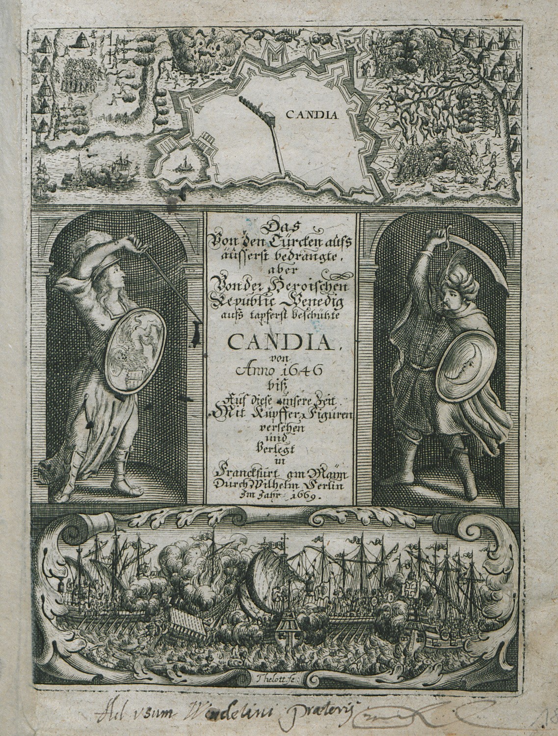
Frontispiece: Map of Heraklion. Allegoric scene: Venice and the Ottoman Empire as warriors. Scene from the Ottoman siege of Candia.
View of the Great Fortress of Chandax (Heraklion) together with the Kules Fortress, also known as Rocca a Mare.
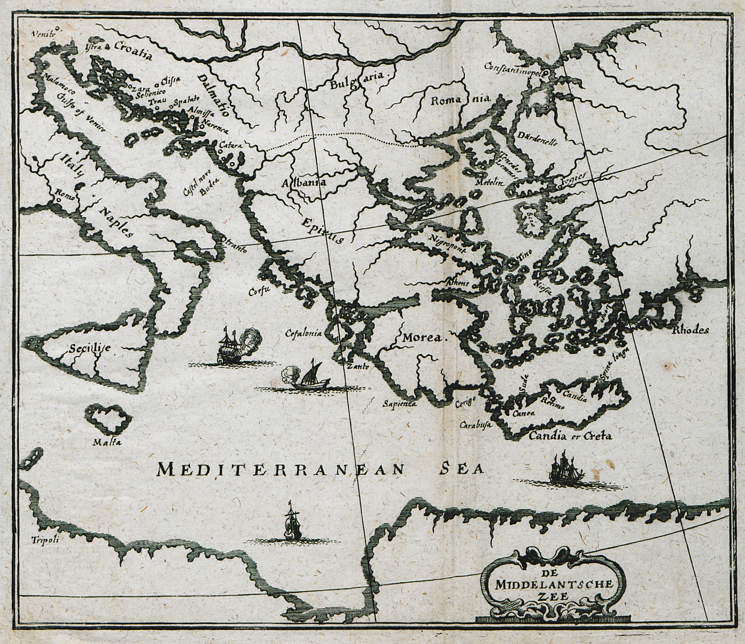
Map of south Italy and the Mediterranean.
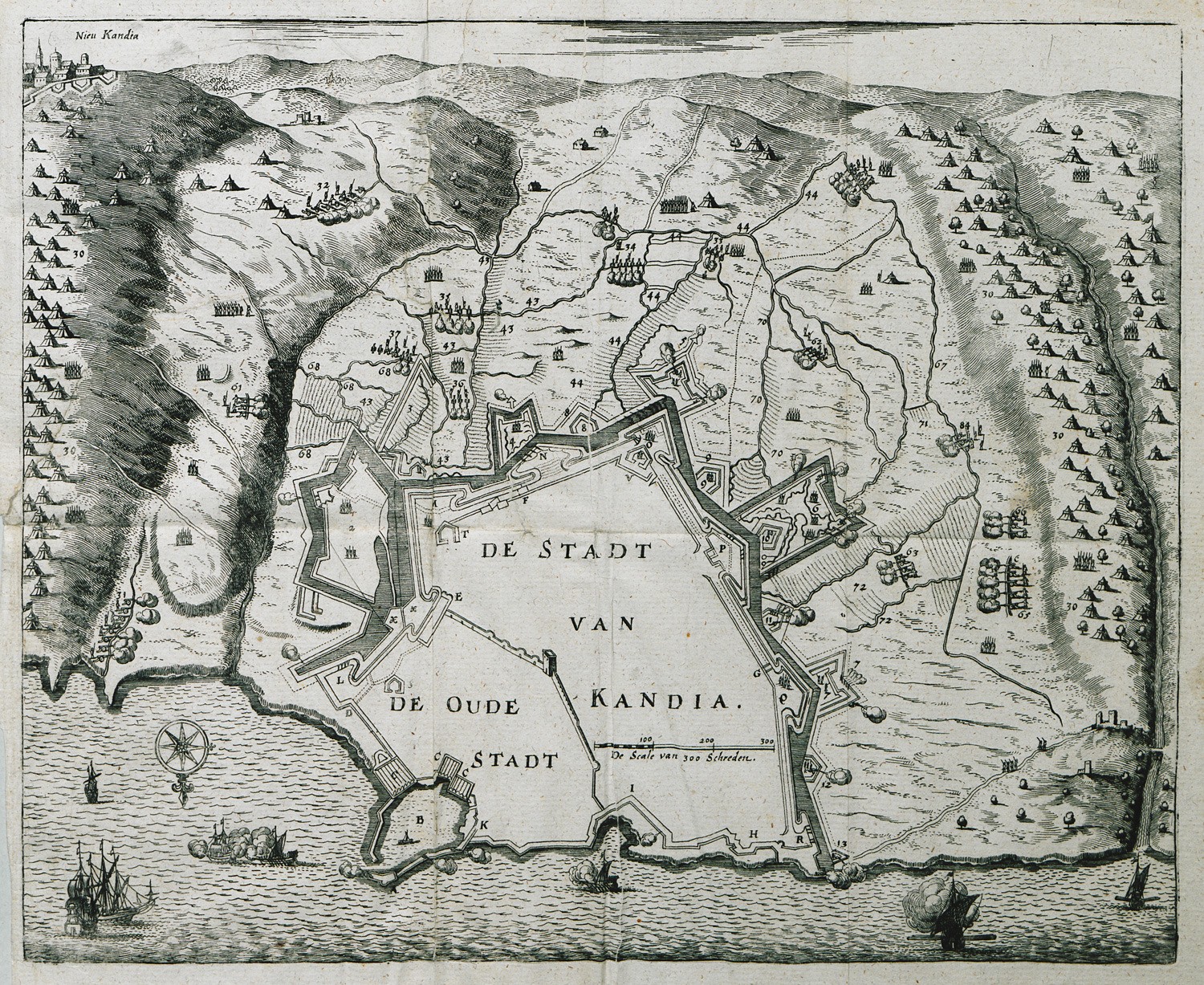
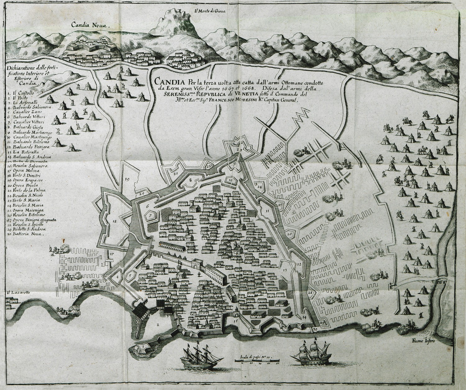
View of Chandax, in 1667-1668, and during it siege by the Ottomans. After being besieged for twenty-four year (1645-1669), Crete became part of the Ottoman Empire (1669).
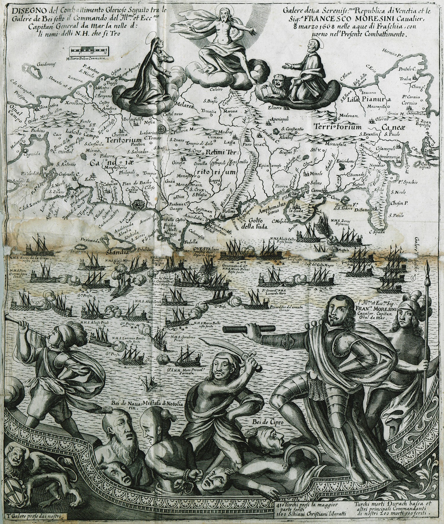
Map of central Crete. After being besieged for twenty-four years, Crete bacame part of the Ottoman realm in 1669. In the foreground, scene from the naval battle of March 1668 between the Ottoman and the Venetian fleet, outside Chandax. General Morosini and Ottoman officials captivated.
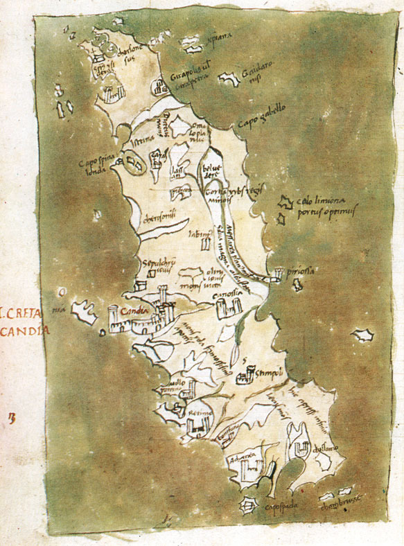
Map of of Crete, (Gennadius Library).
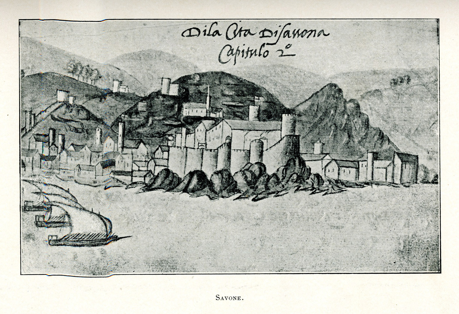
View of Savona in Italy.


