Dodecanese (318 Subjects)
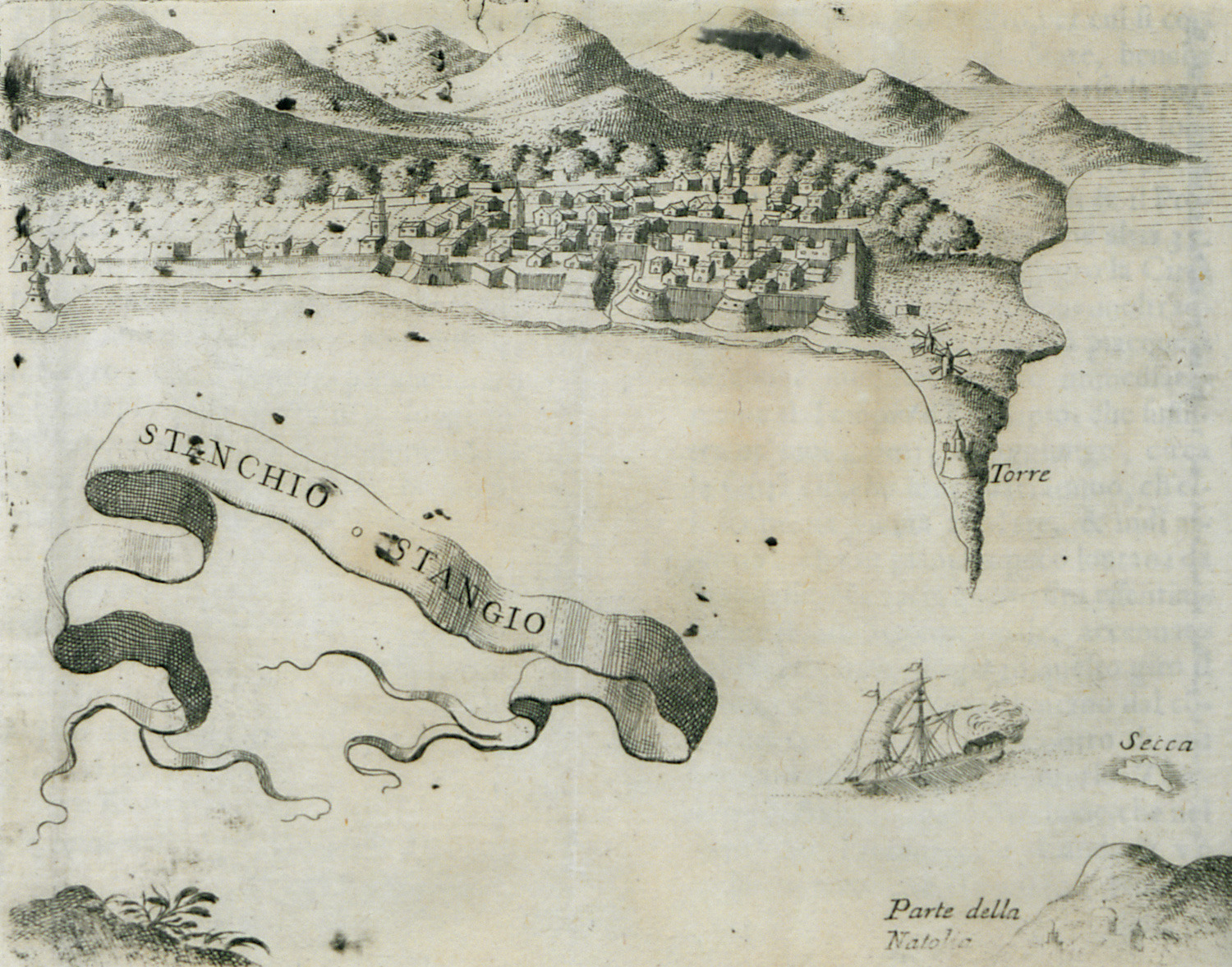
View of Kos.
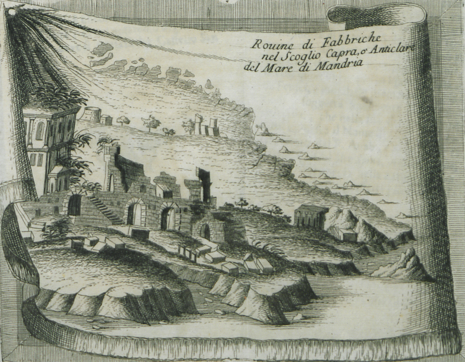
Remains, possibly on the sea stacks of Pergousa, near Nisyros.
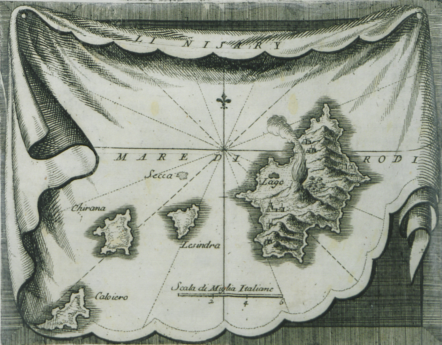
Map of Nisyros.
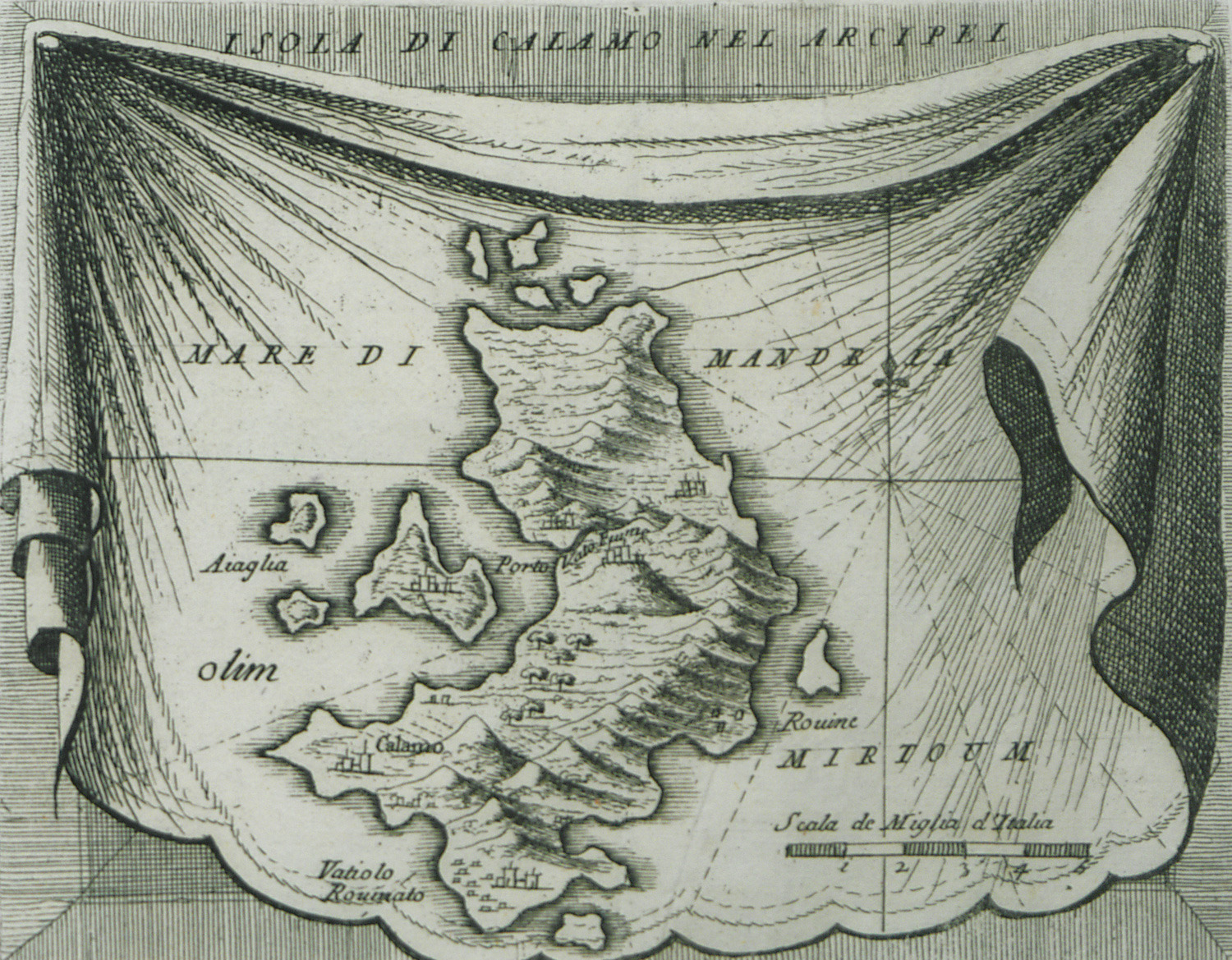
Map of Kalymnos.
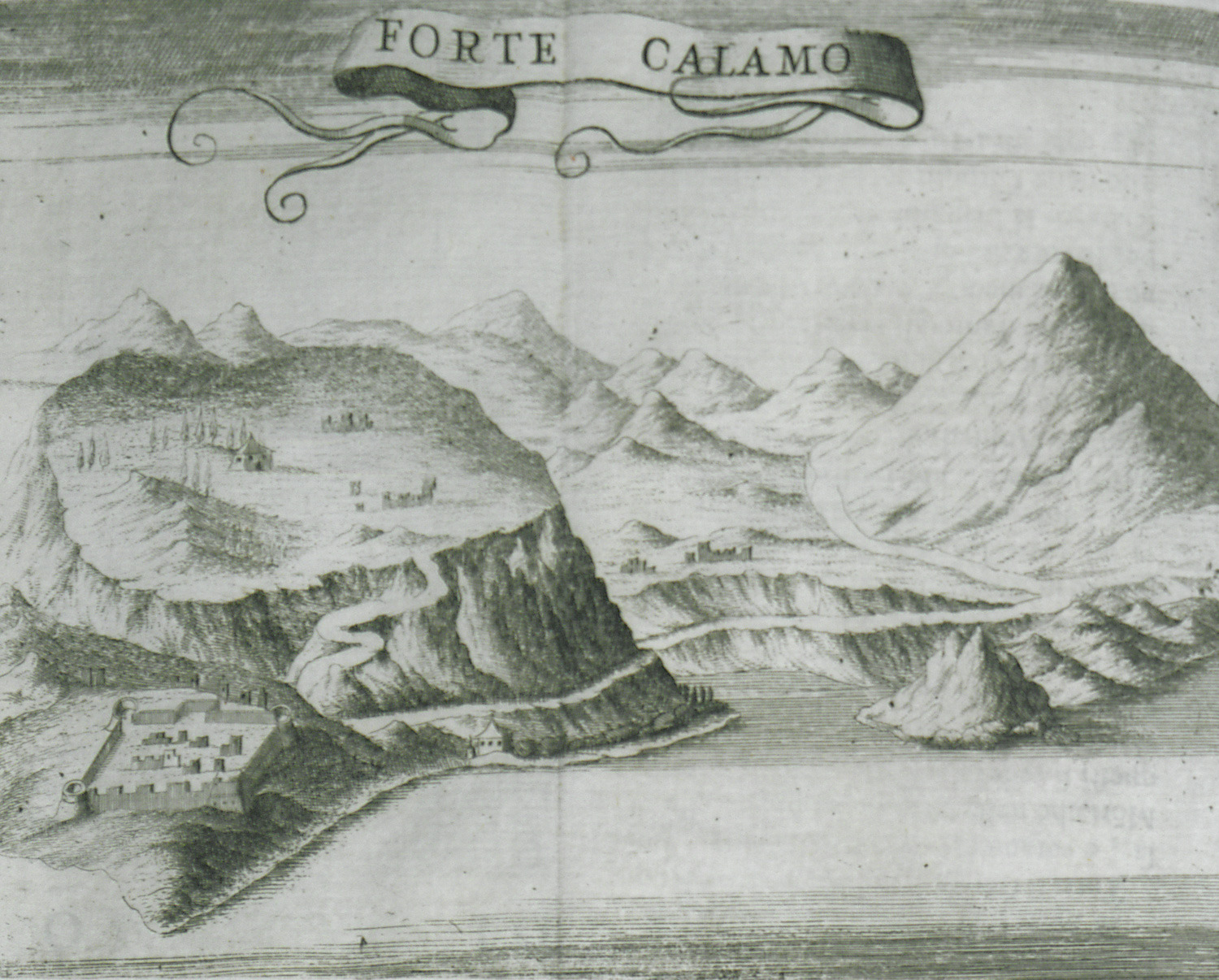
The fortress of Kalymnos.
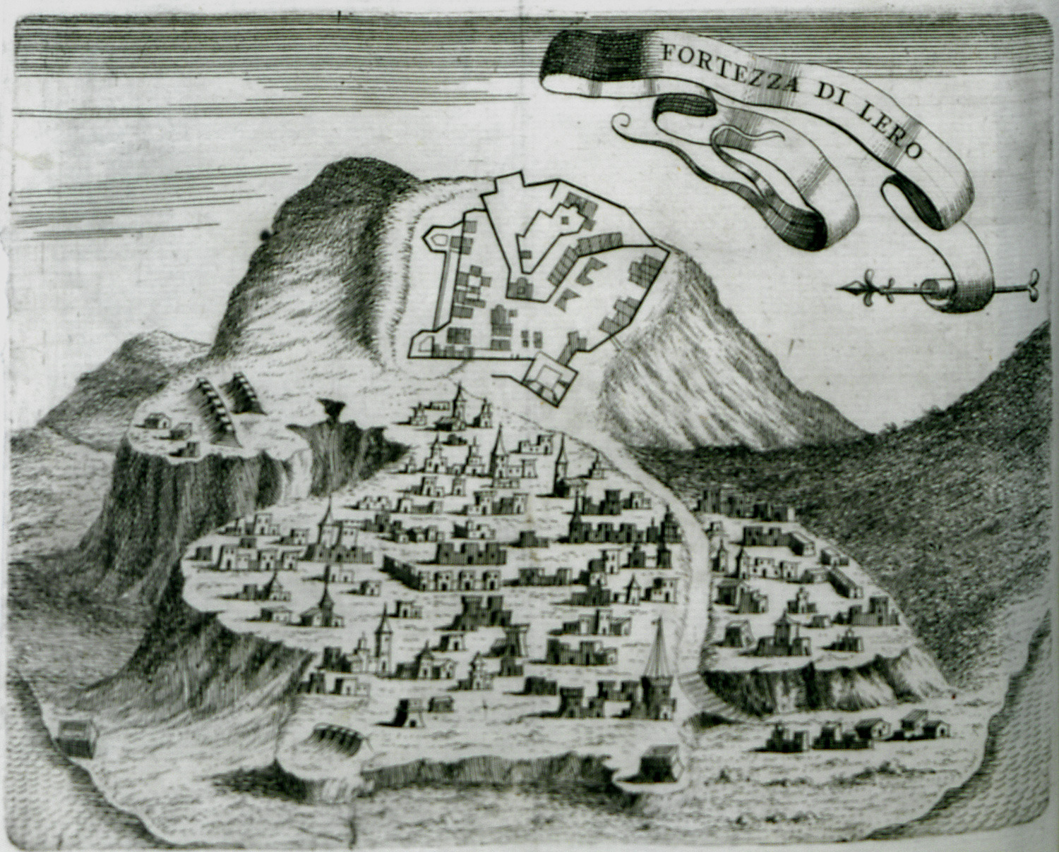
The city and fortress of Lero.
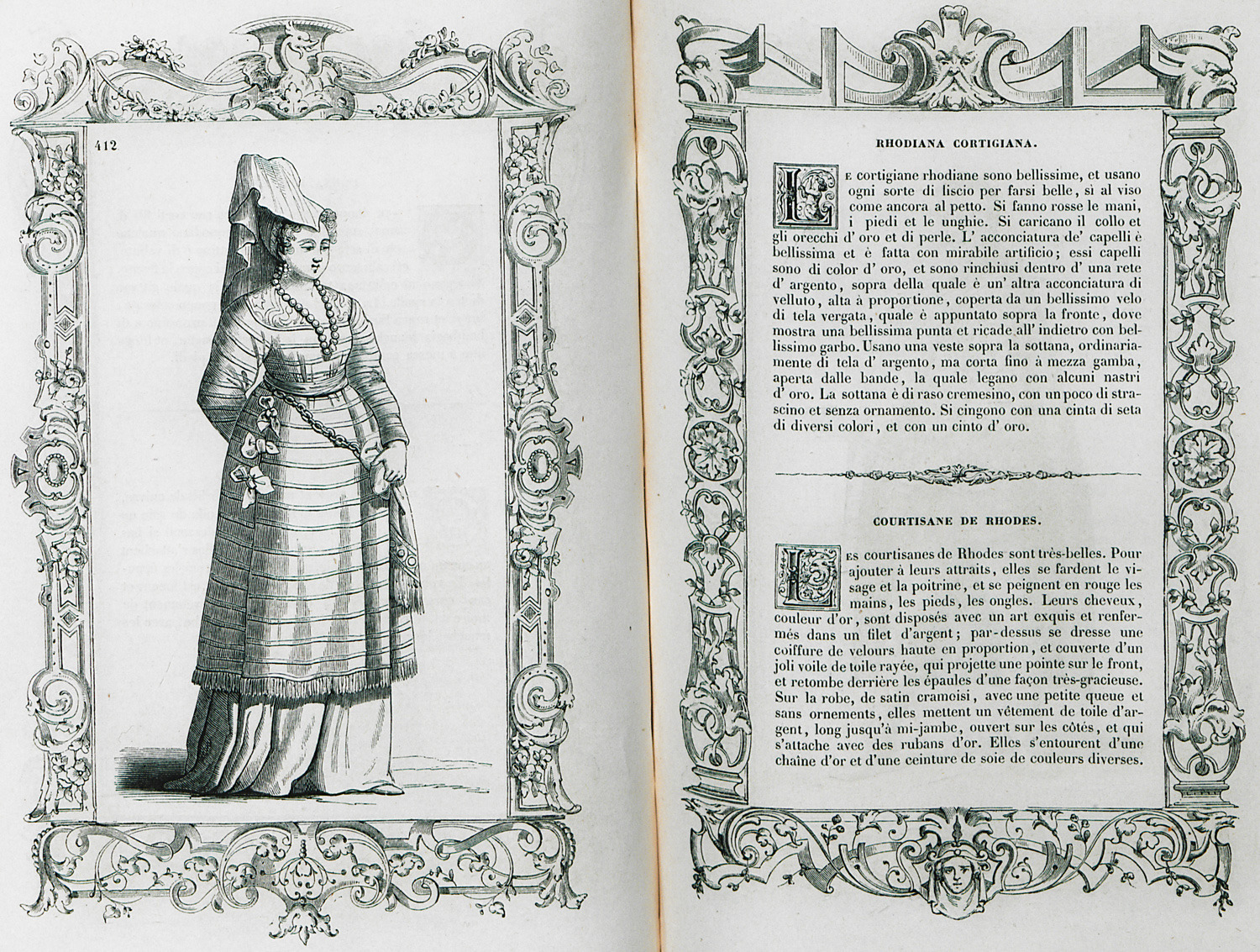
Prostitute from Rhodes.
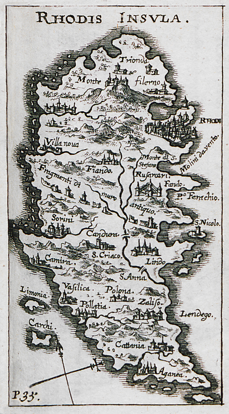
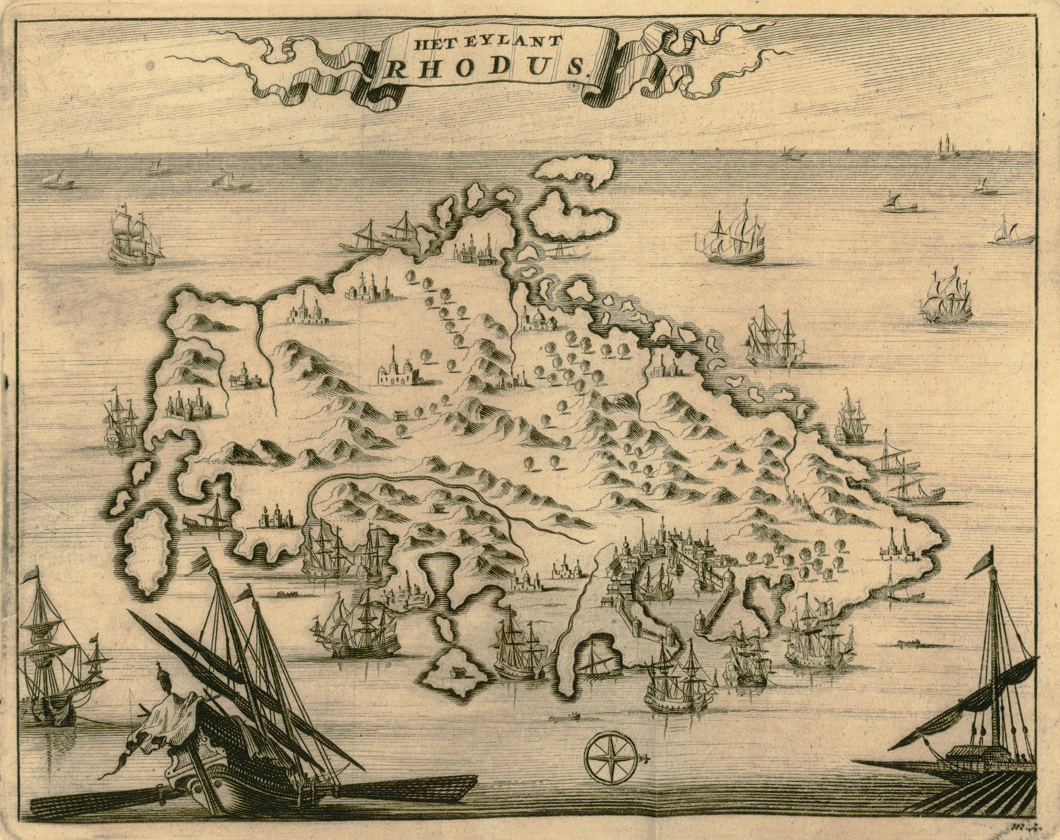
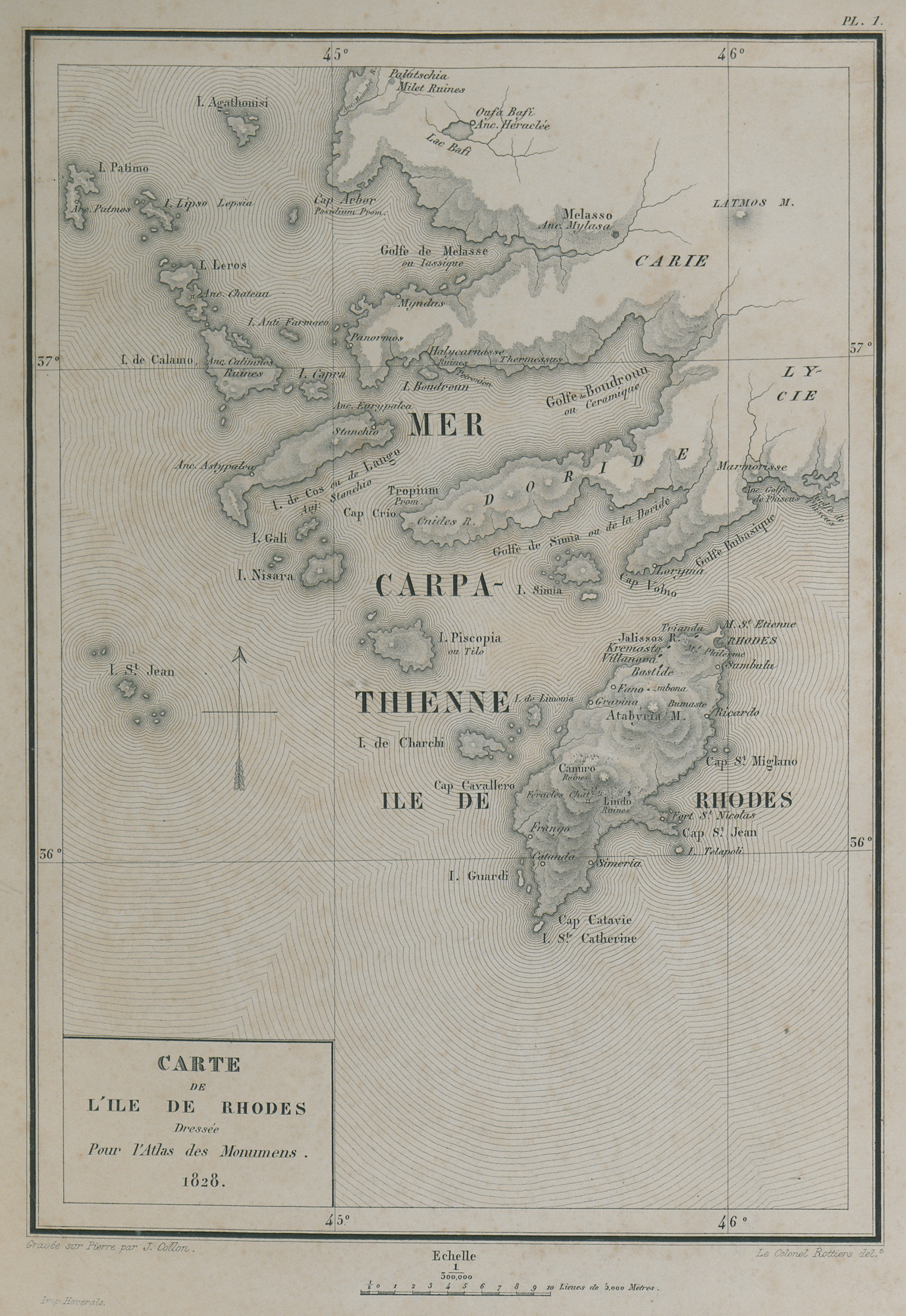
Map of Rhodes.
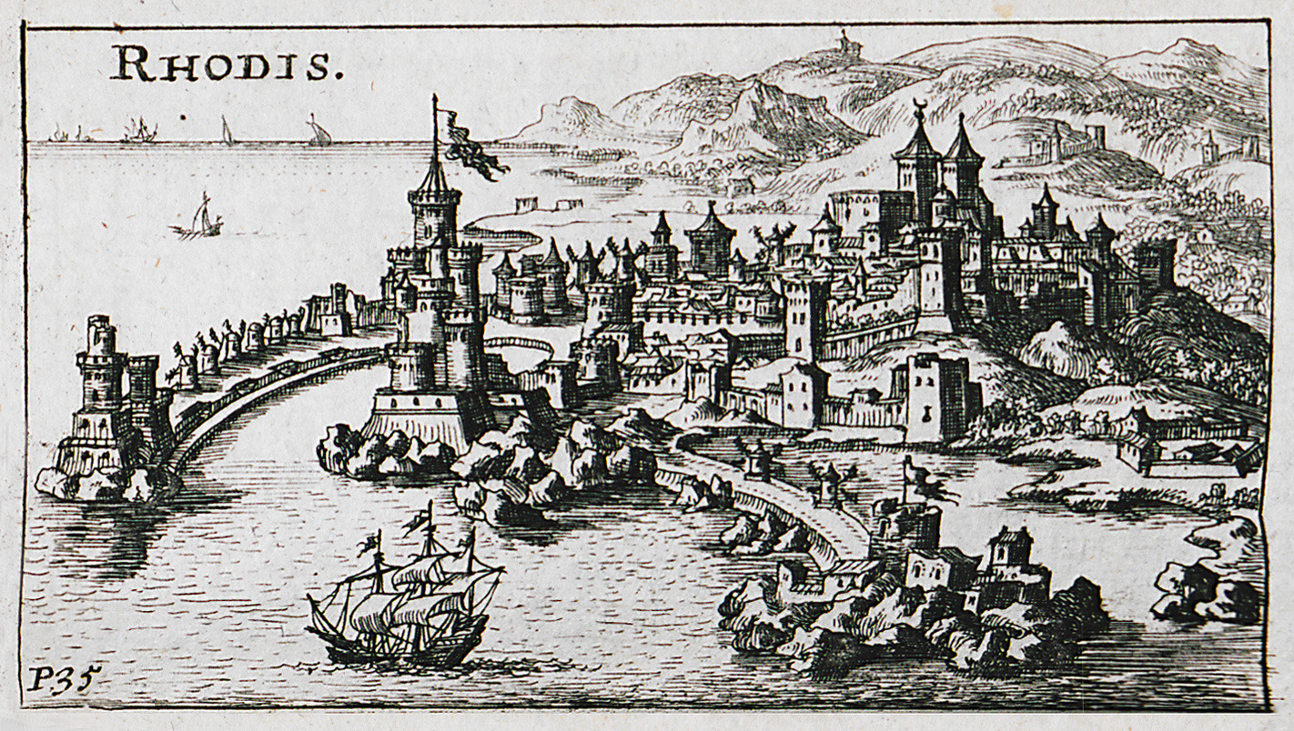
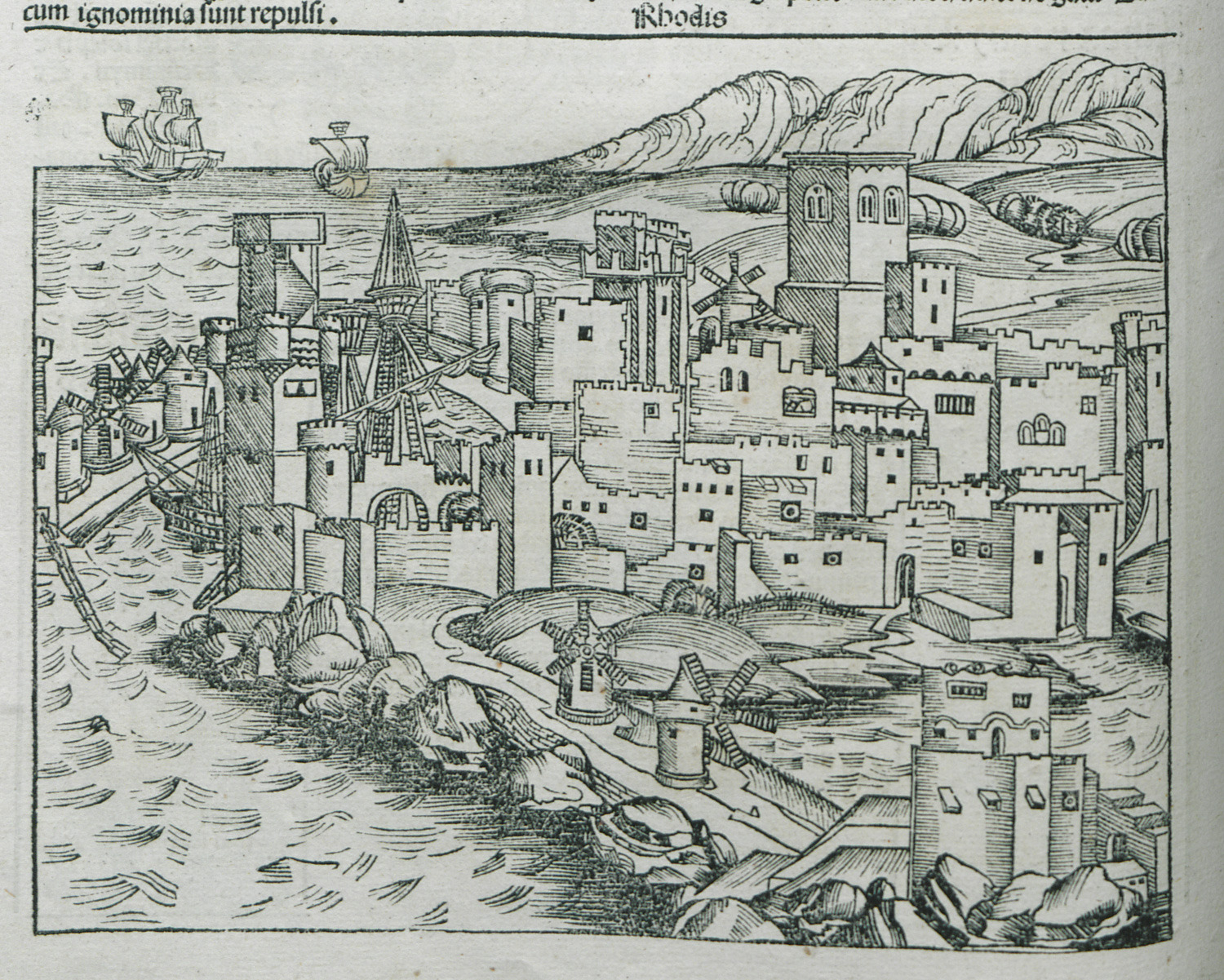
View of the medieval city of Rhodes.
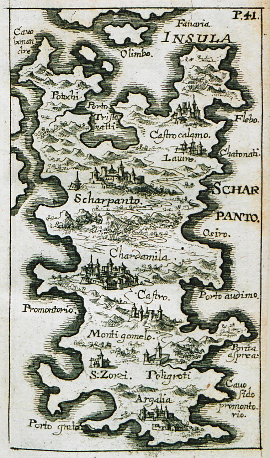
Map of Karpathos.
Map of Rhodes.
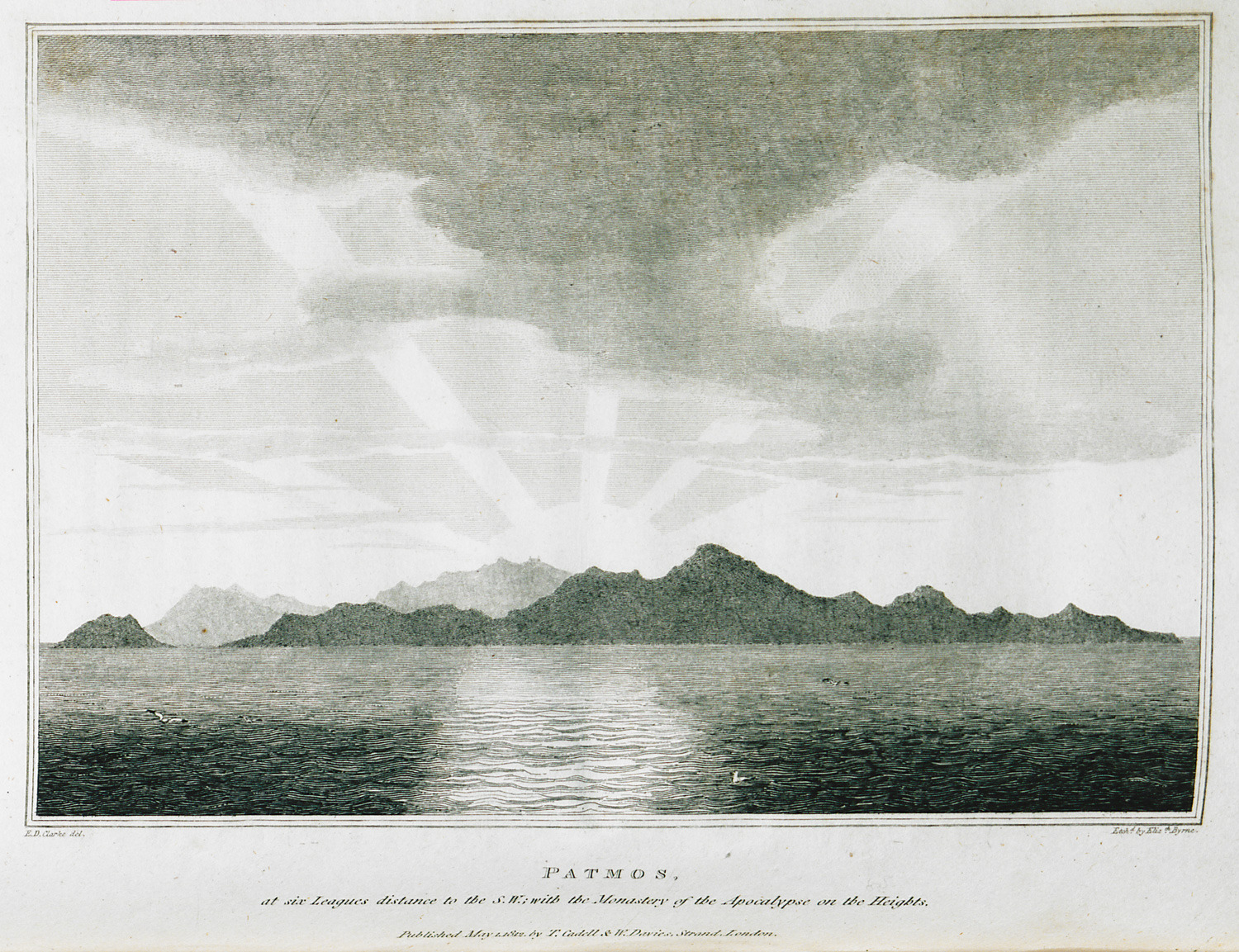
Patmos at six leagues distance to the S.W. with the Monastery of Saint John the Theologian on the Heights.
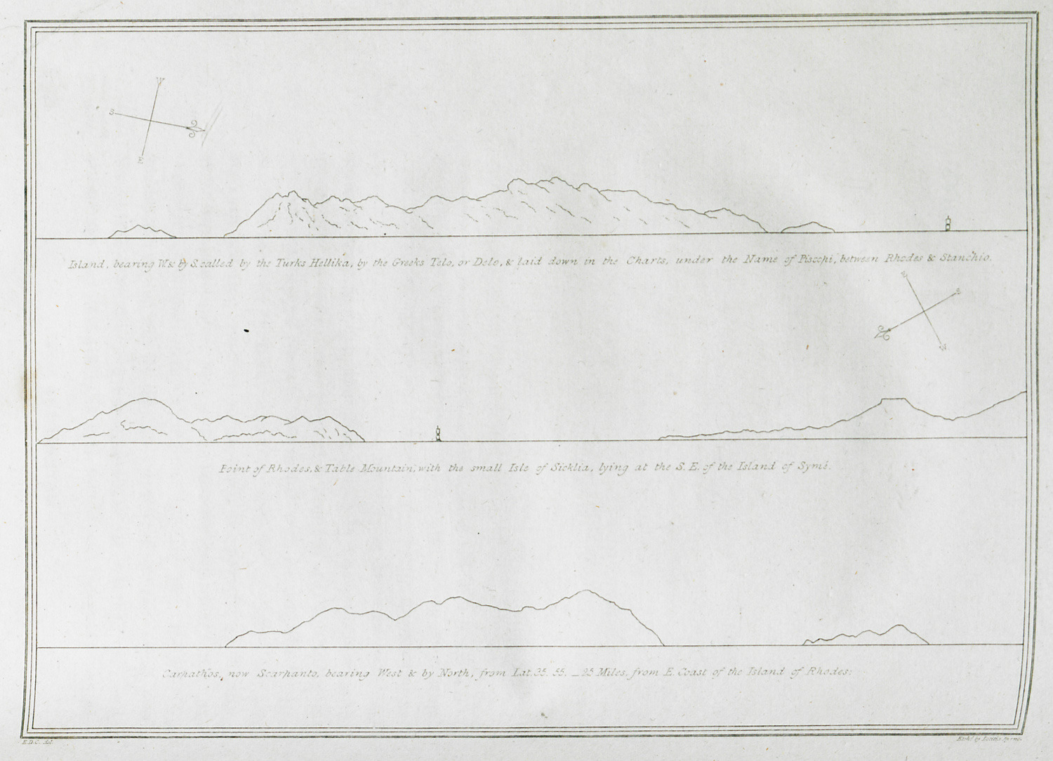
Island, bearing W. & by S. called by the Turks Hellika, by the Greeks Telo, or Delo, & laid down in the Charts under the Name of Piscopi, between Rhodes & Stanchio. Point of Rhodes & Table Mountain with the small Isle of Sicklia, lying at the S.E. of the Island of Symi. Carpathos, now Scarpanto, bearing West & by North, from Lat. 35.55. 25 miles from E. Coast of the island or Rhodes.
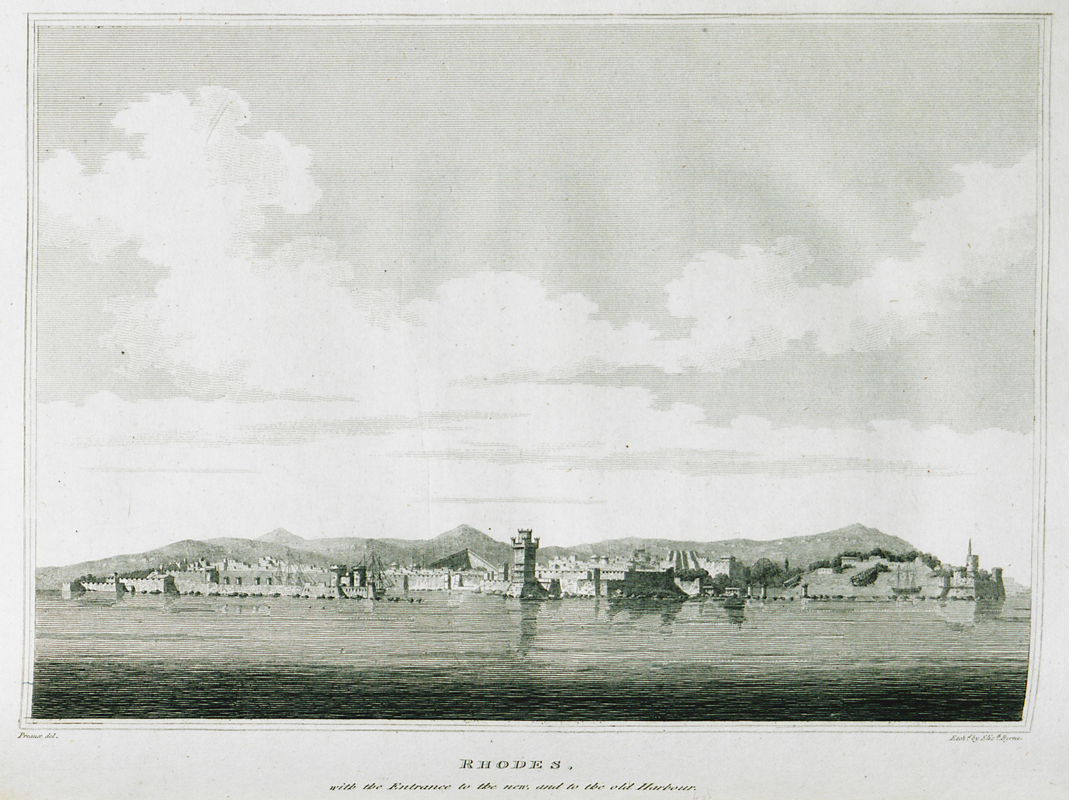
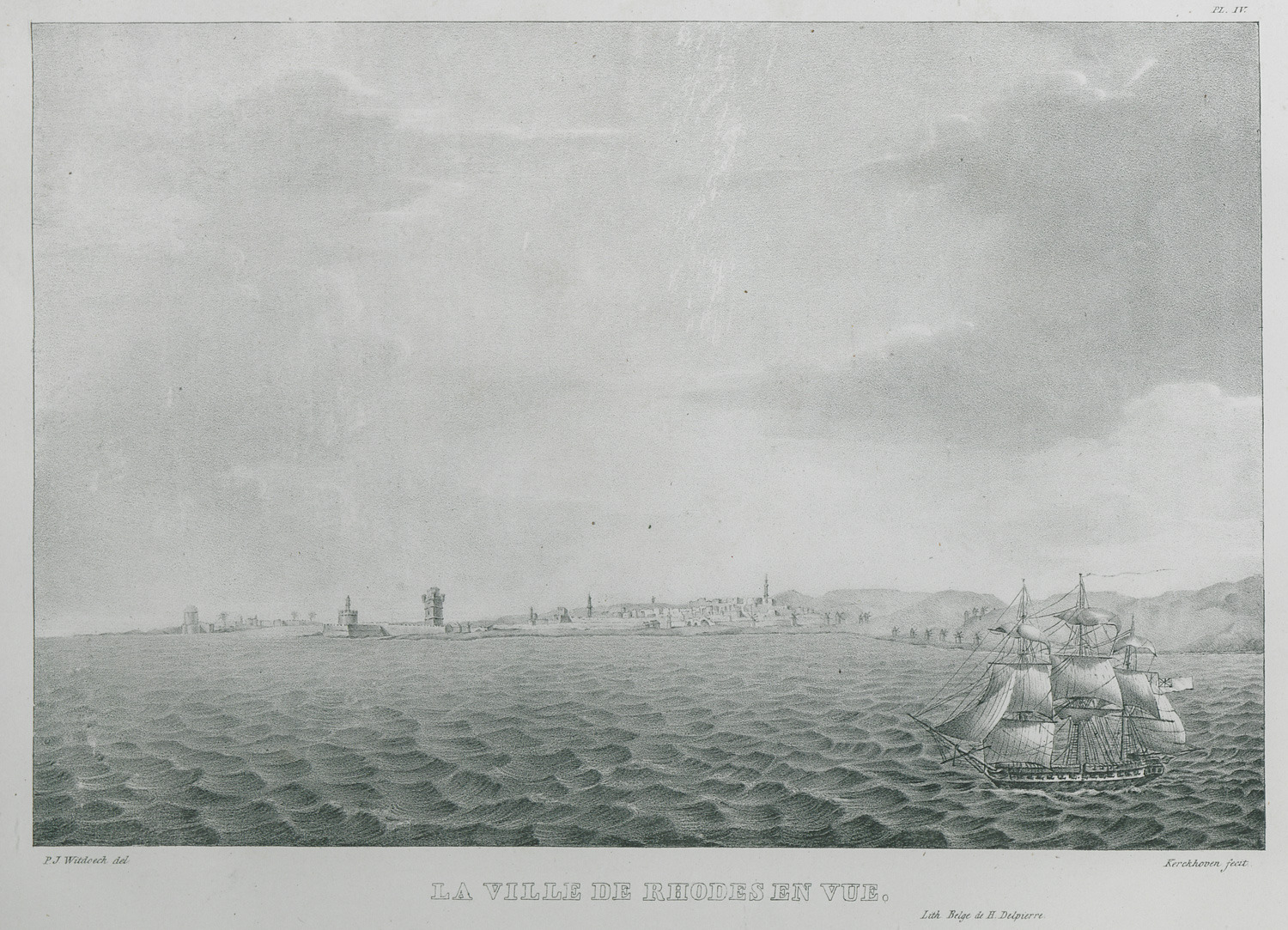
View of the medieval city of Rhodes from the sea.
View of Rhodes.
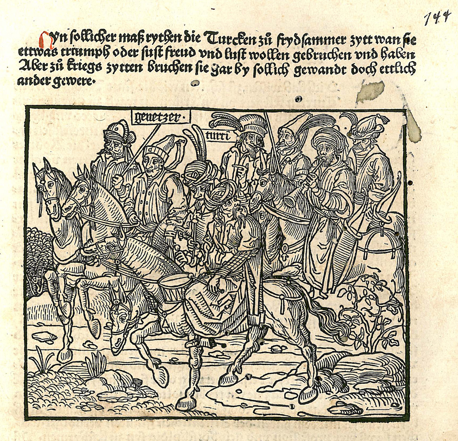
Ottoman cavalry during the Siege of Rhodes.
Map of Astypalaia.
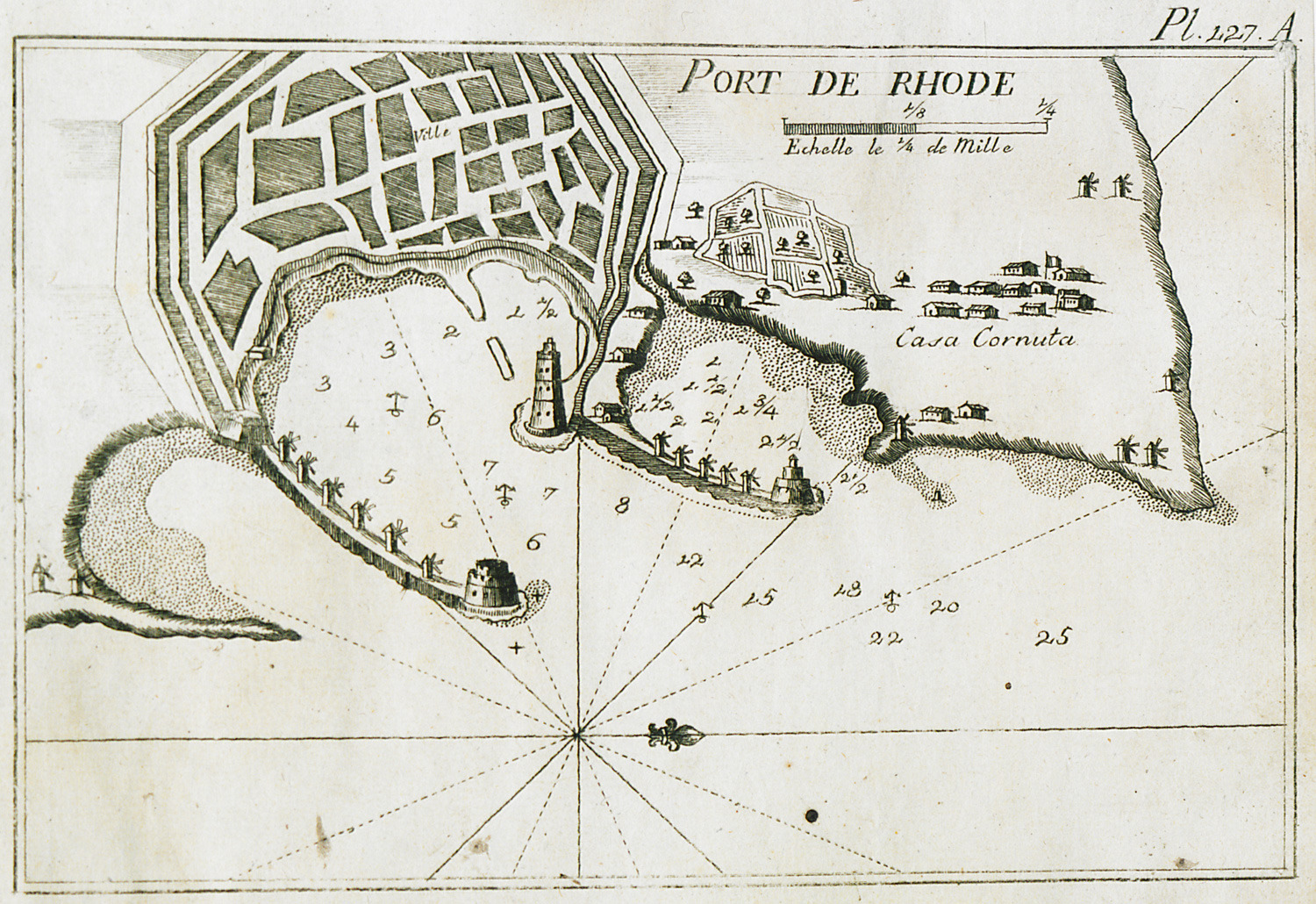
Map of the port of Rhodes. View of the city.
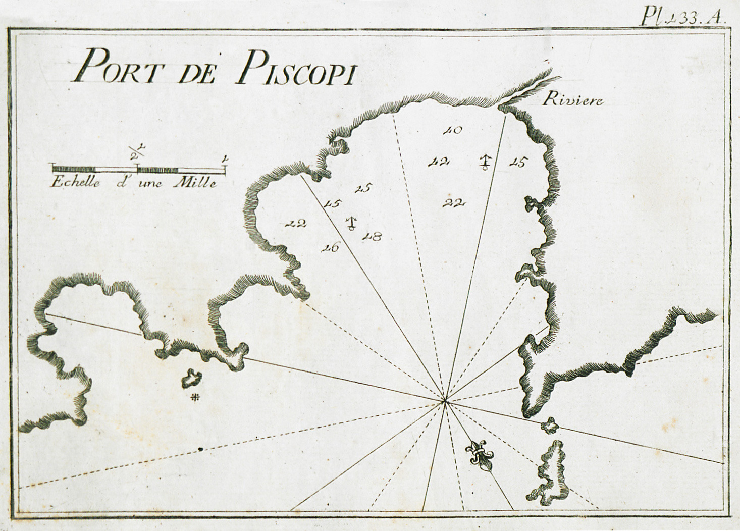
Map of the port of Tilos.
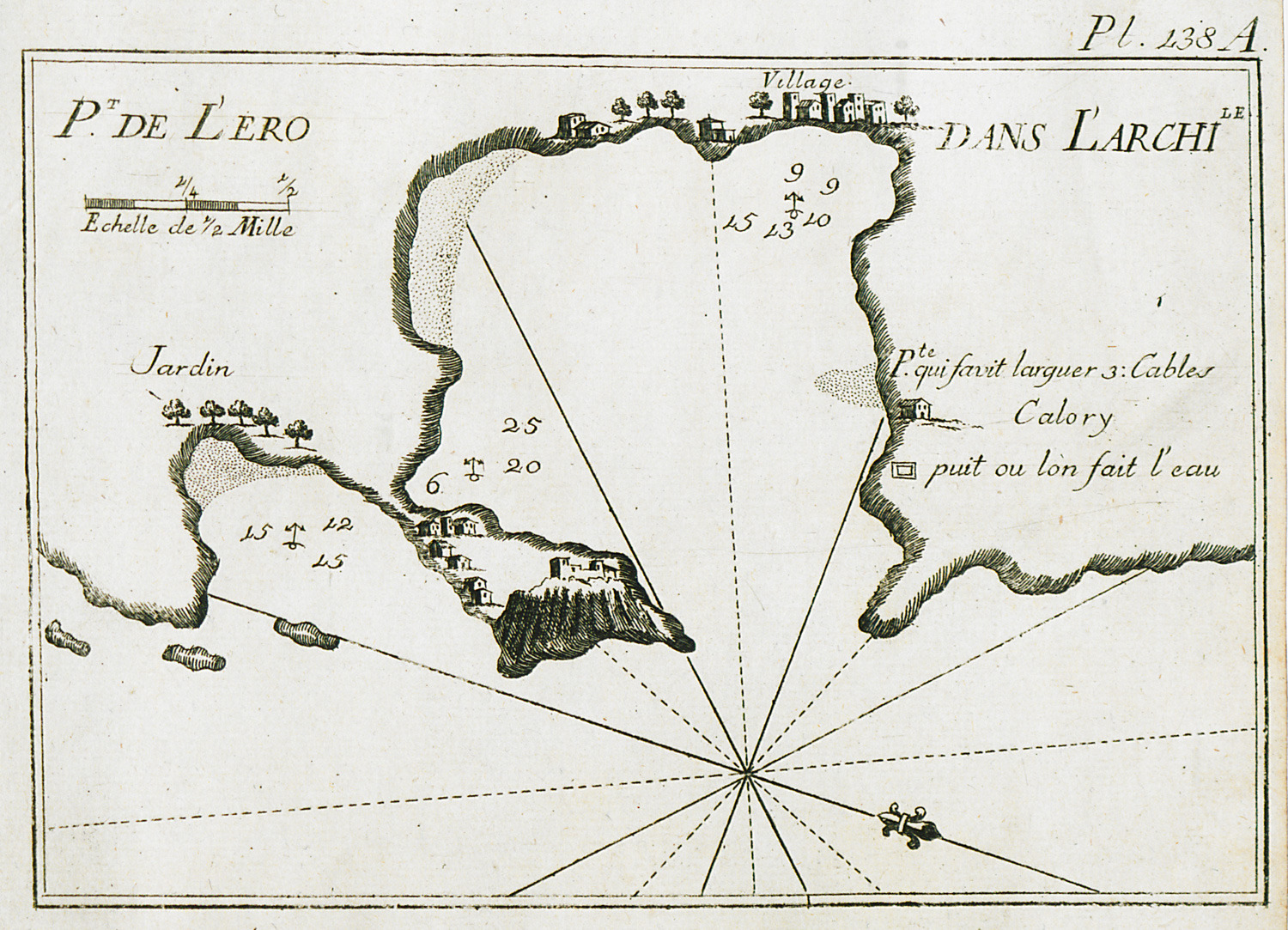
Map of the port of Leros.
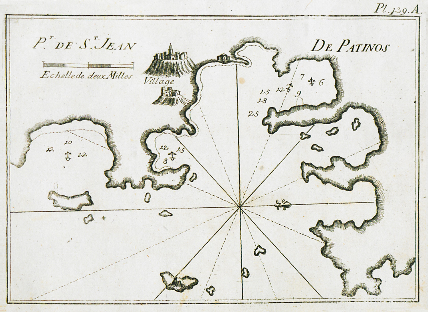
Map of the port of Patmos. View of the city and of the monastery of Agios Ioannis Theologos.
Map of Rhodes.
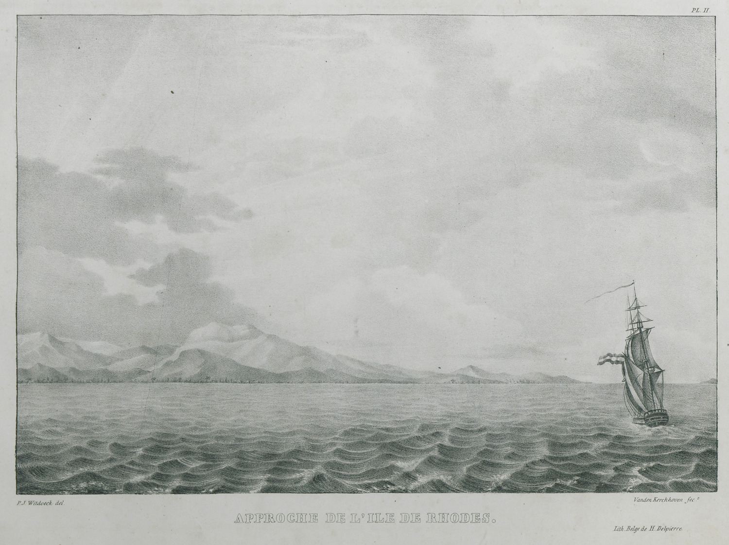
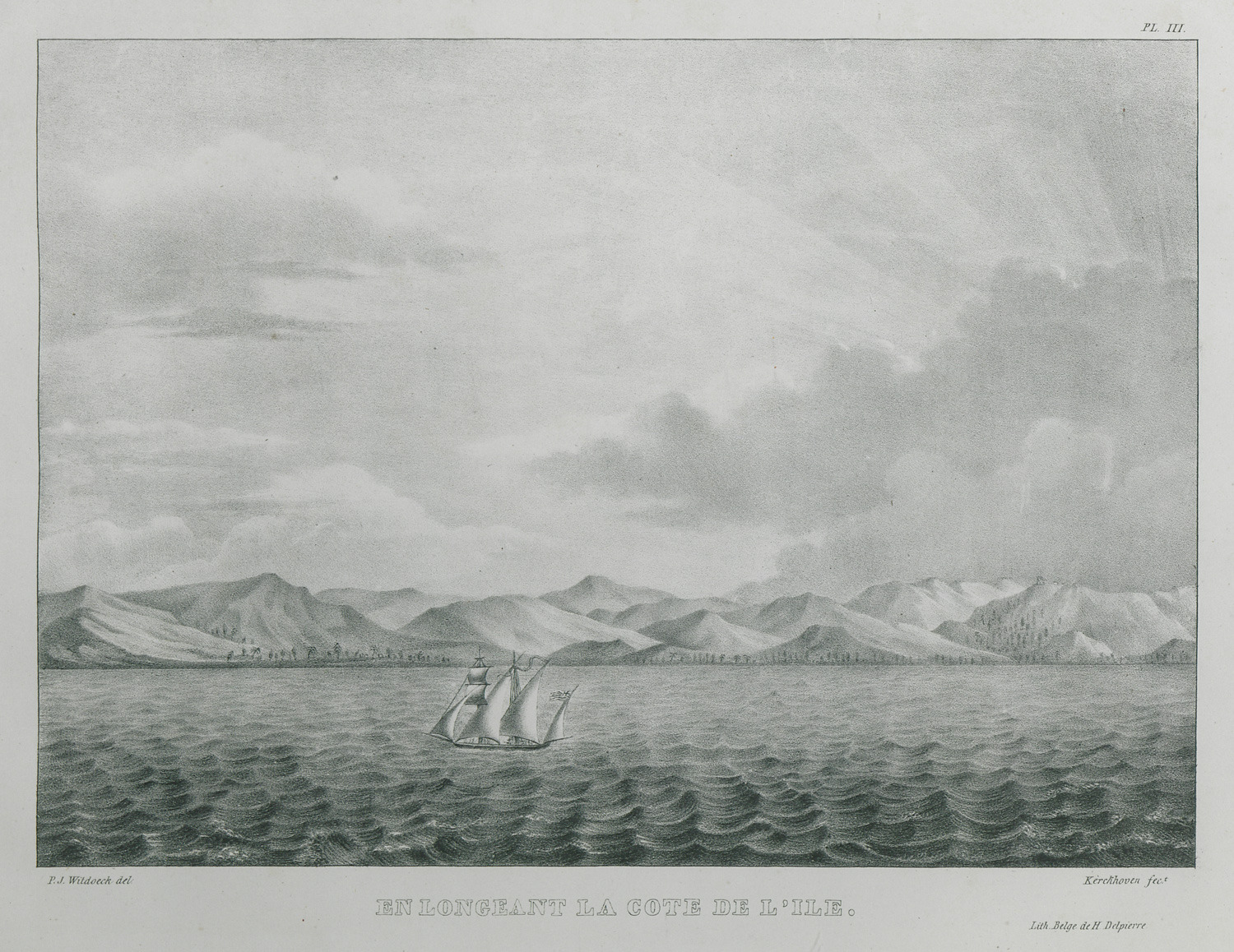
Rhodes seen from the sea.
Rhodes seen from the sea.
The city of Rhodes seen from the sea.
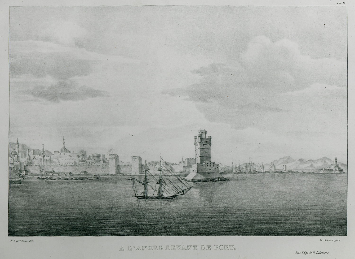
Bernard Eugène Antoine Rottiers' ship anchored at the port of Rhodes.
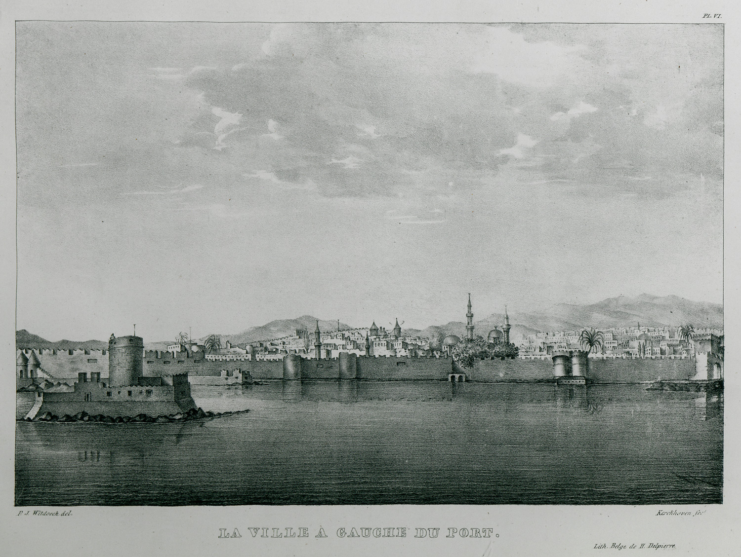
View of the city of Rhodes to the left of the port.
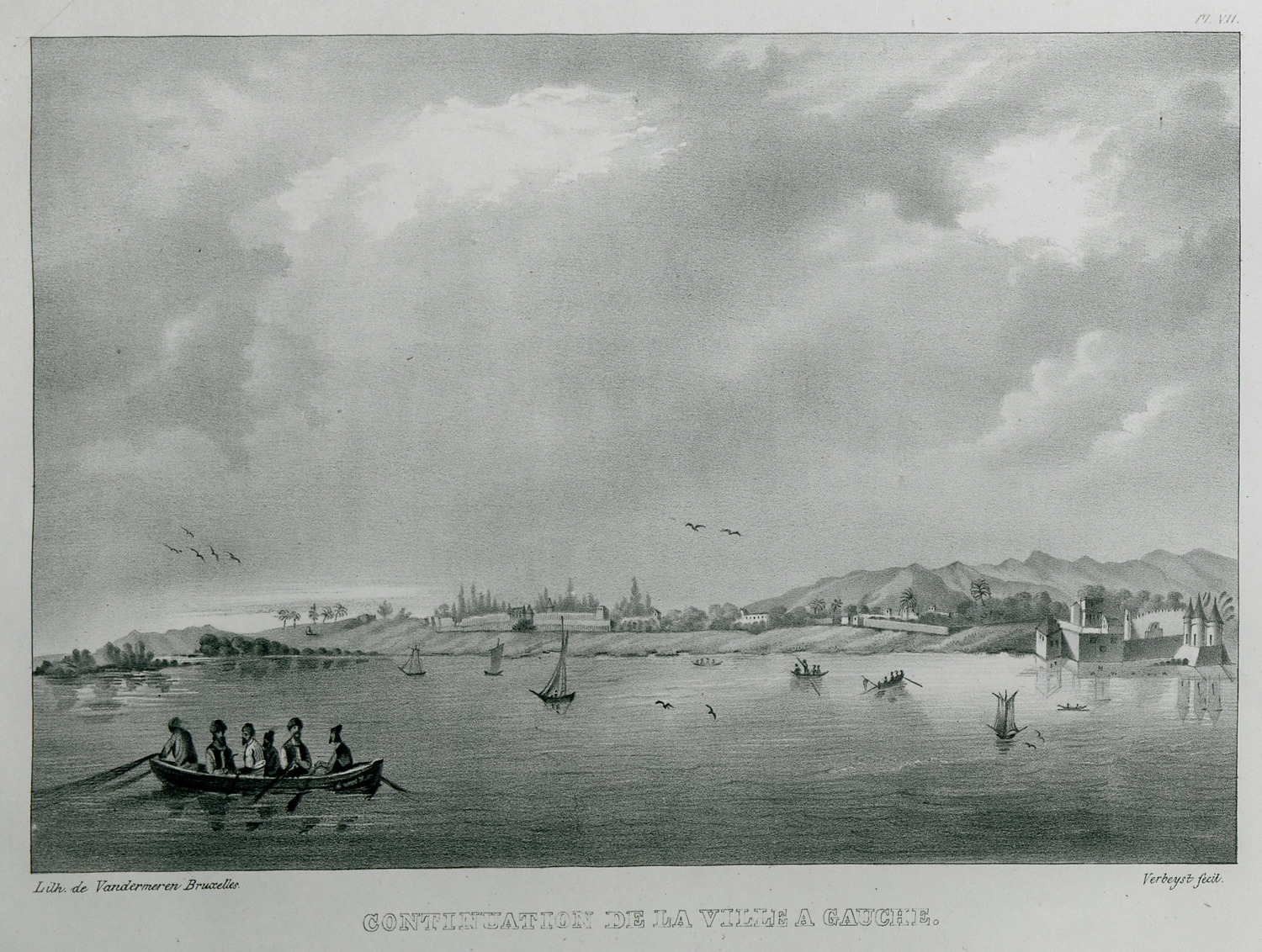
View of the city of Rhodes with the suburbs, to the left of the port.
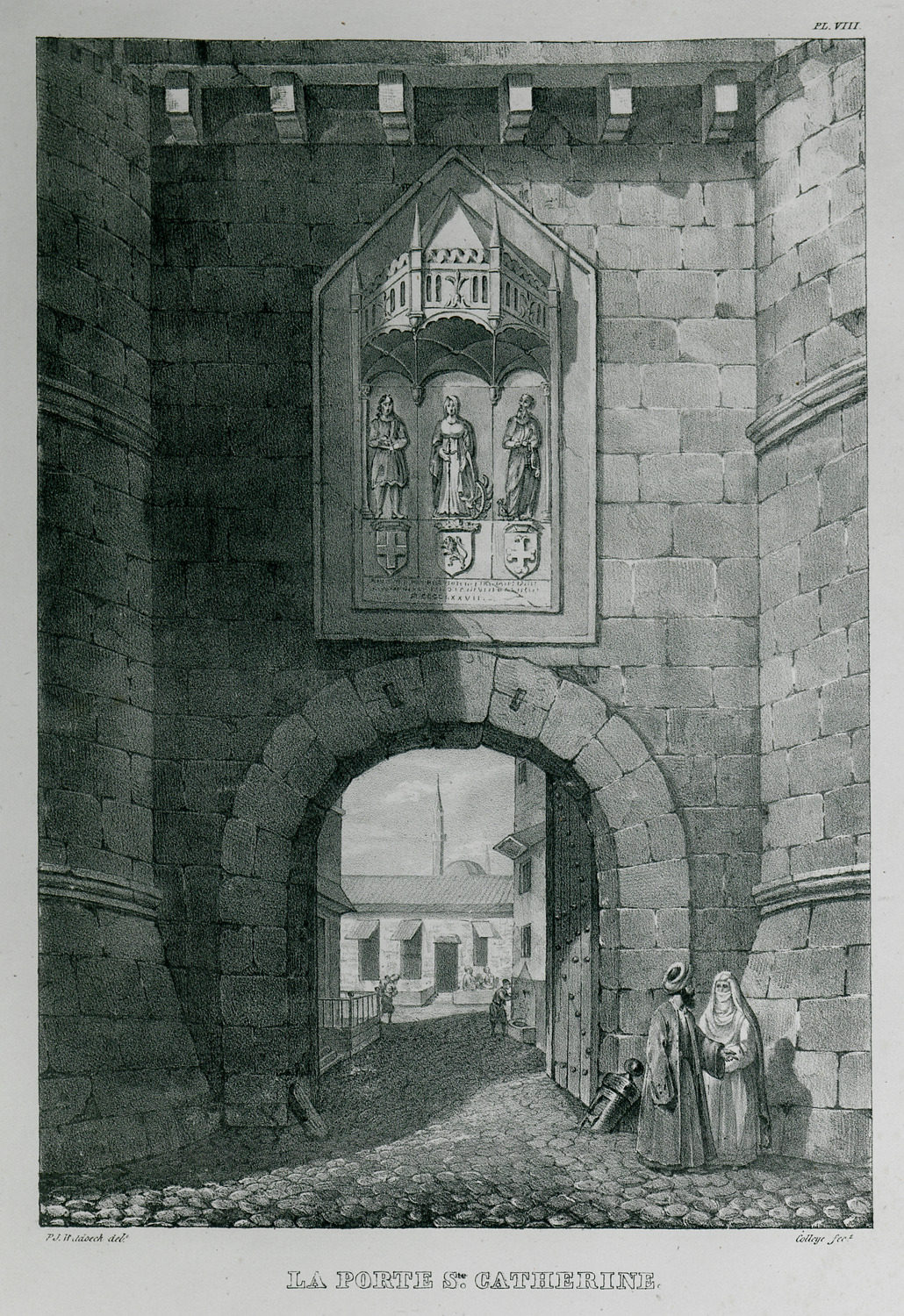
The gate of Saint Catherine at the hospice of Saint Catherine in the medieval town of Rhodes.
The gate of Saint Catherine in the inn of St. Catherine in the medieval town of Rhodes.


