Black Sea (153 Subjects)
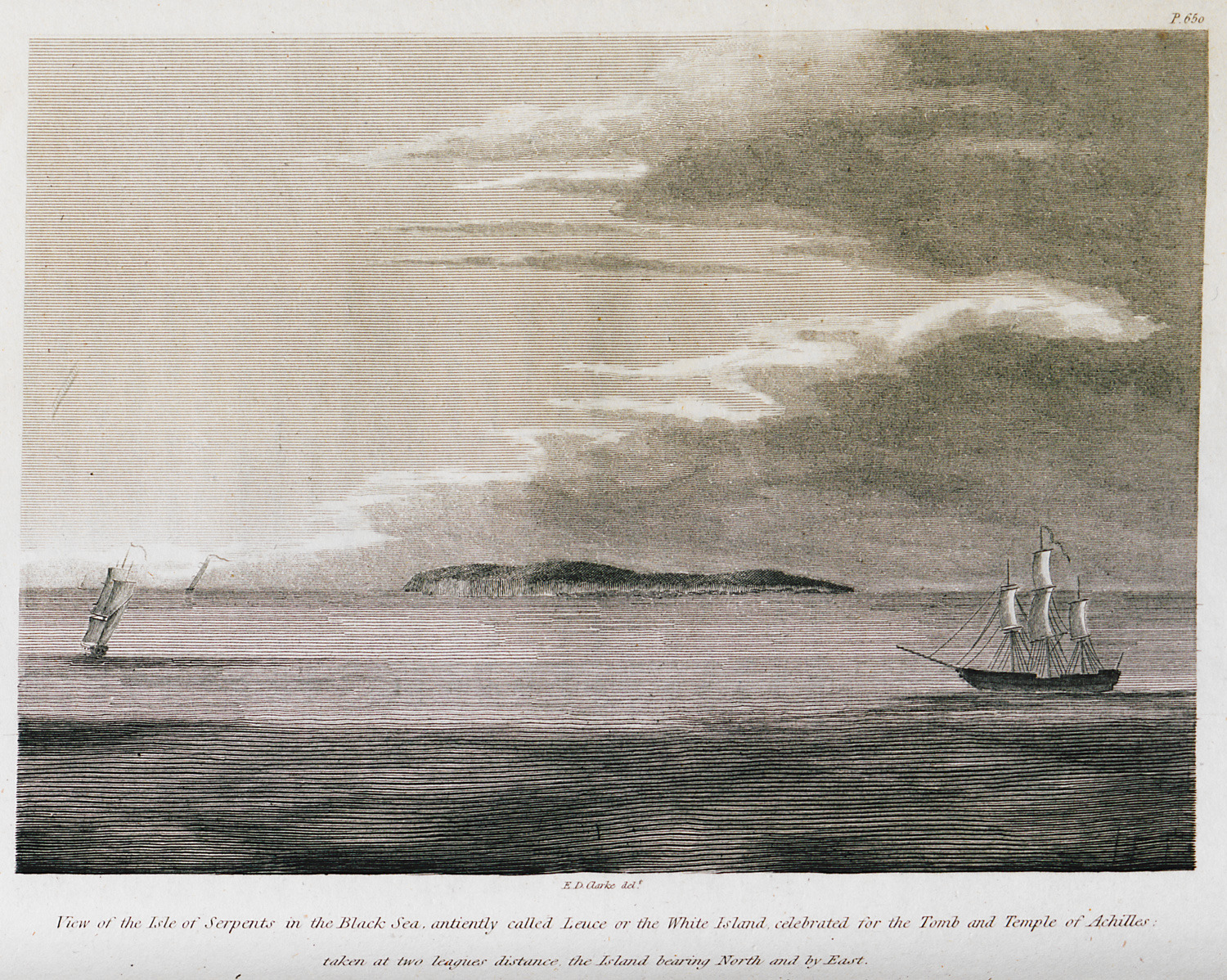
View of Snake Island at the Black Sea. According to the myth, this is were Thetis took the bodies of Achilles and Patroclus.
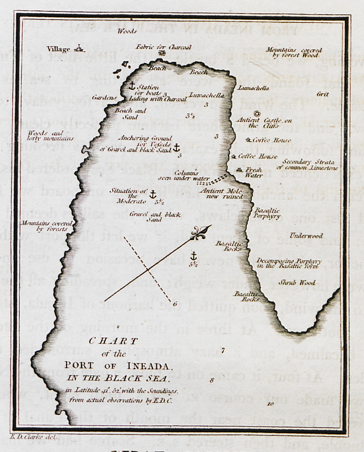
View of the port of İğneada, north of Istanbul, at the Black Sea.
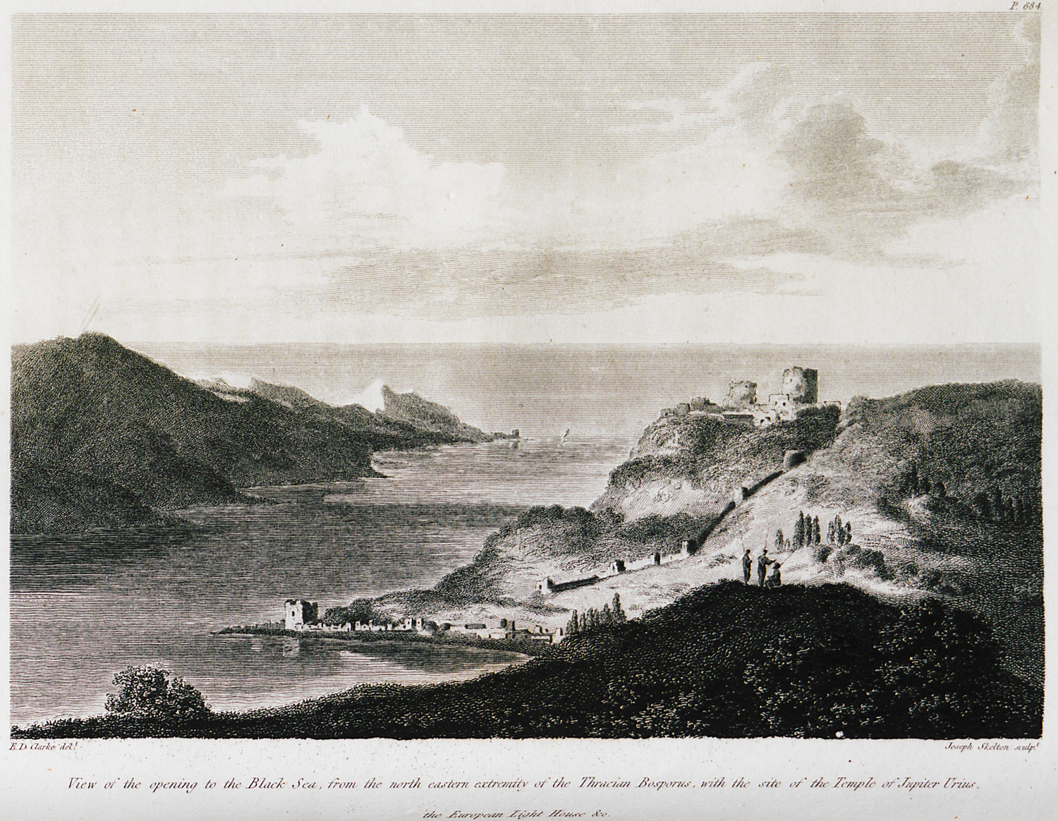
The junction of the Bosporus and Black Sea. On the hill, Yoros castle, also known as Genoese castle, on the Asiatic shore of the Bosporus.
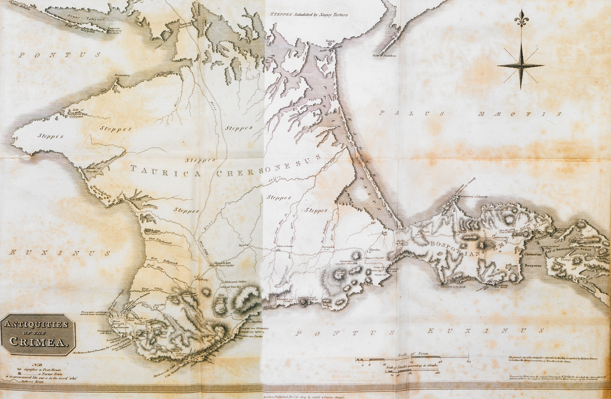
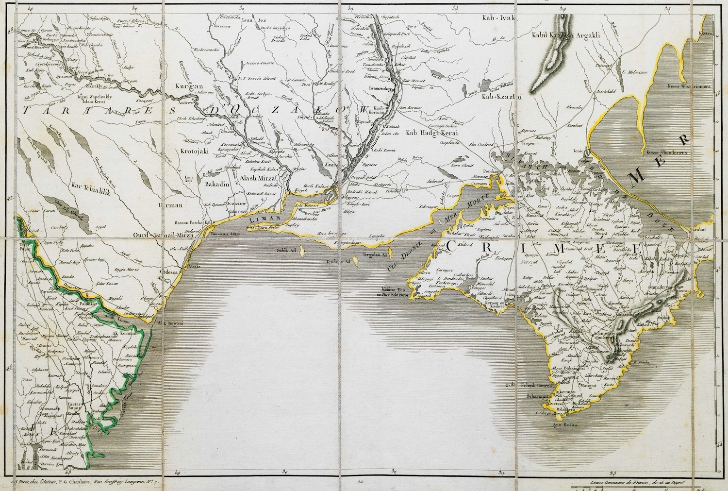
Map of Crimea.
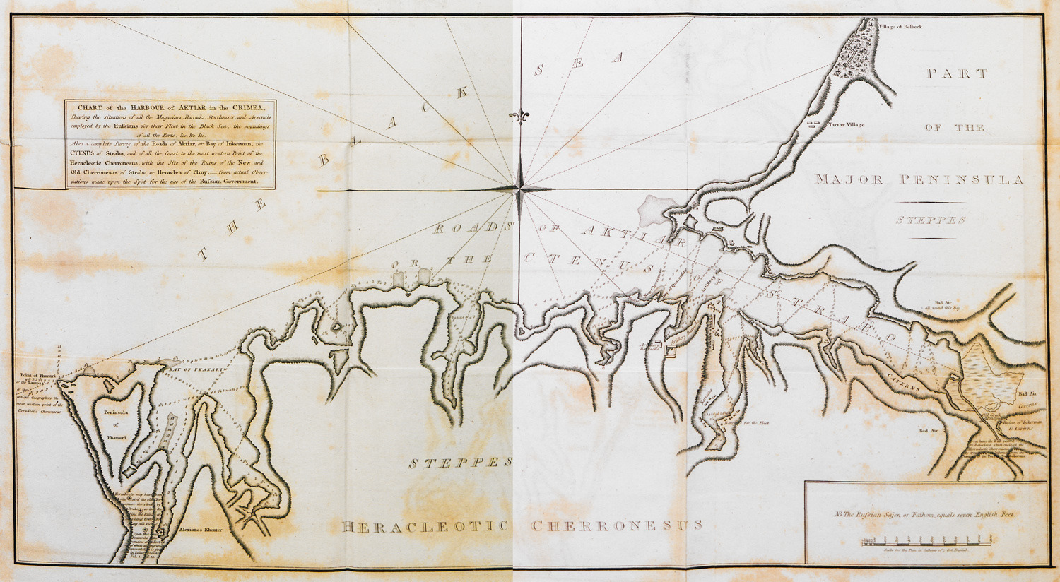
Map of the port of Sebastopol, Crimea.
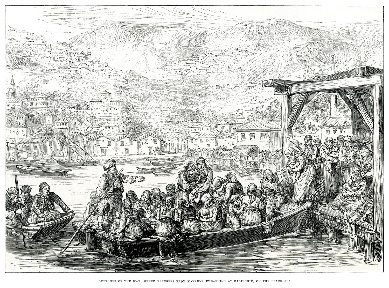
Great Eastern crisis of 1875-78: Greeks leave the city of Kavarna (today in Bulgaria).
Map of Crimea.
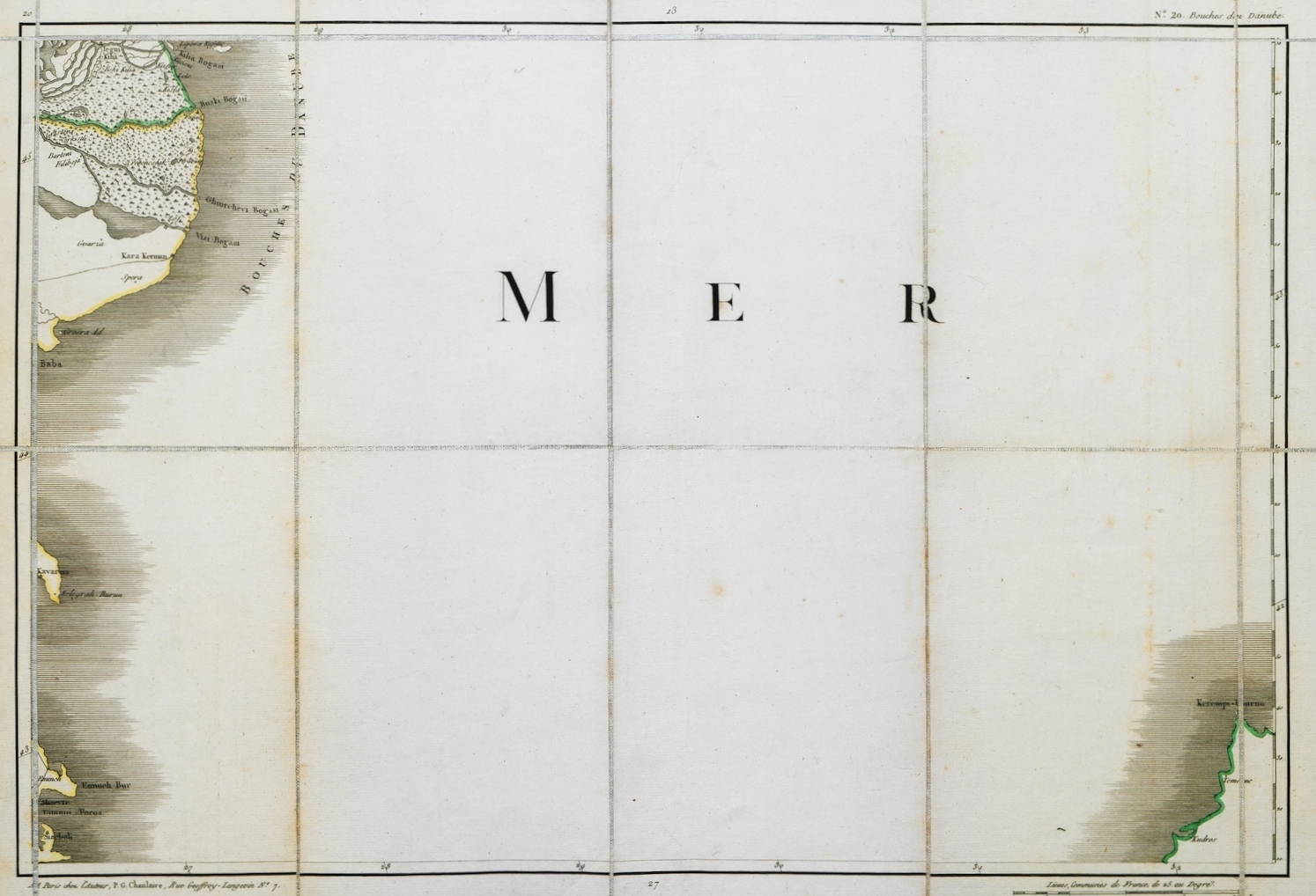
Map of the western part of the Black Sea.
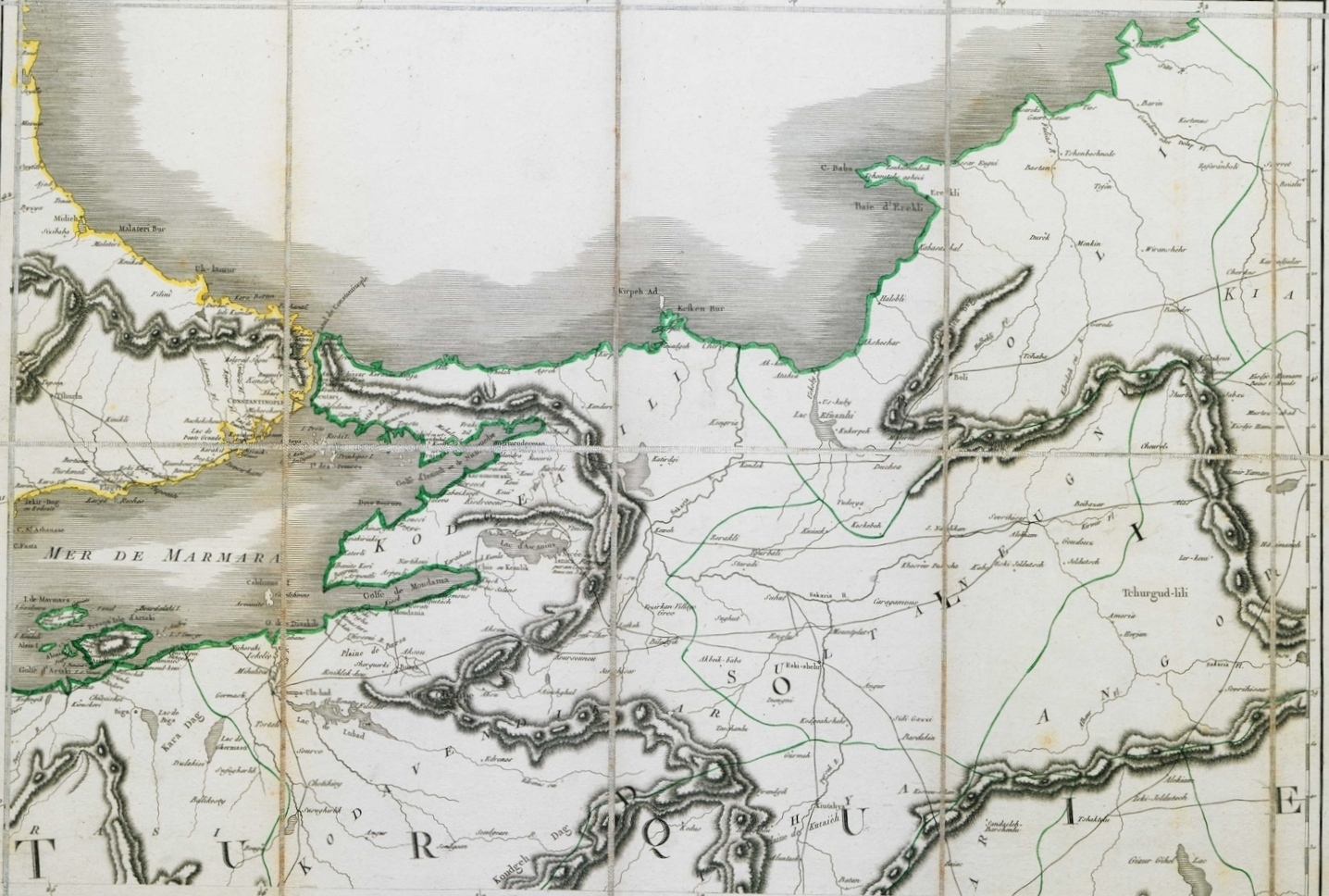
Map of part of eastern Thrace and northwestern Asia Minor, with Istanbul.
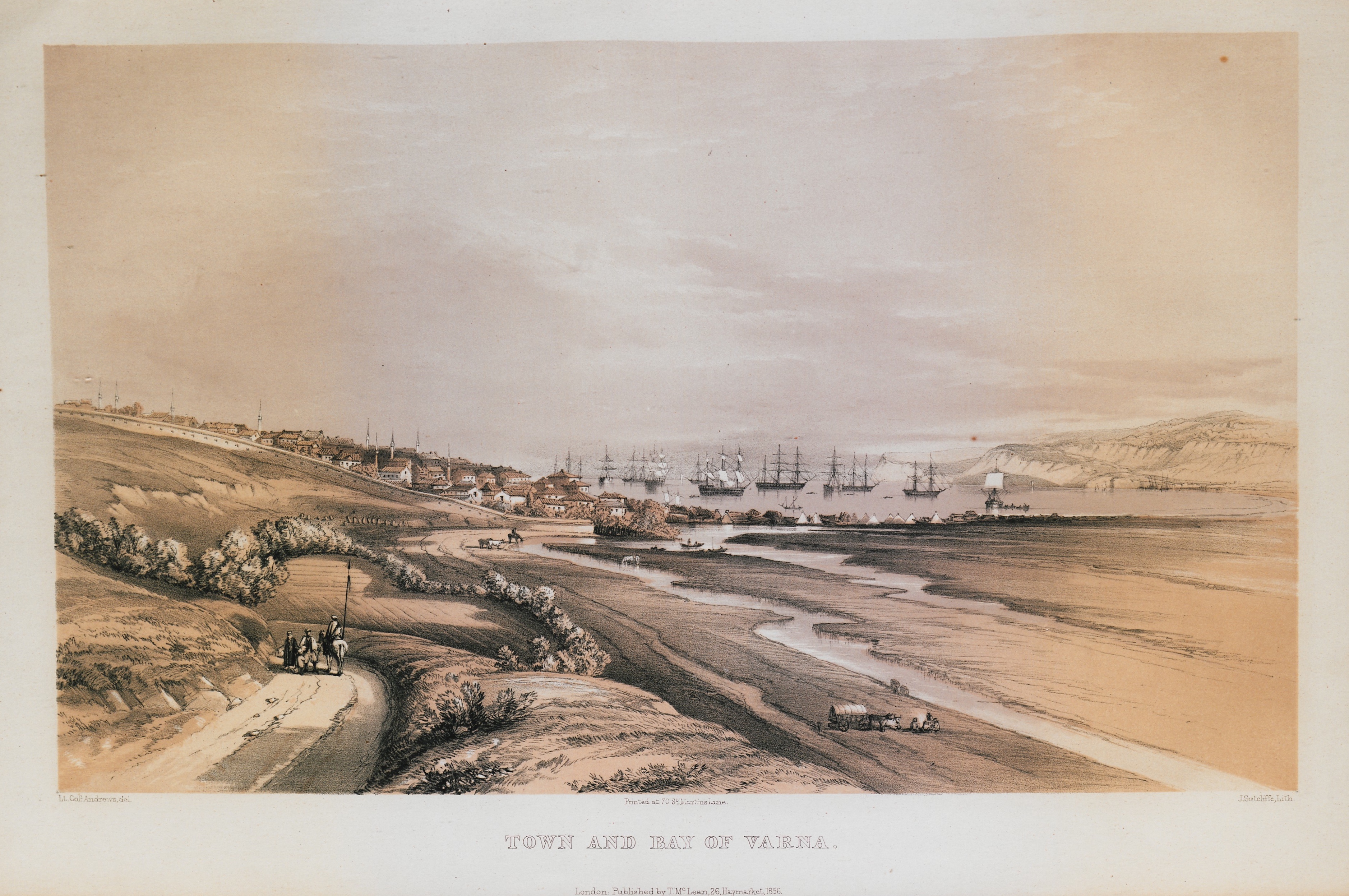
View of Varna in the Crimean War. In the background, the ships of the British fleet.
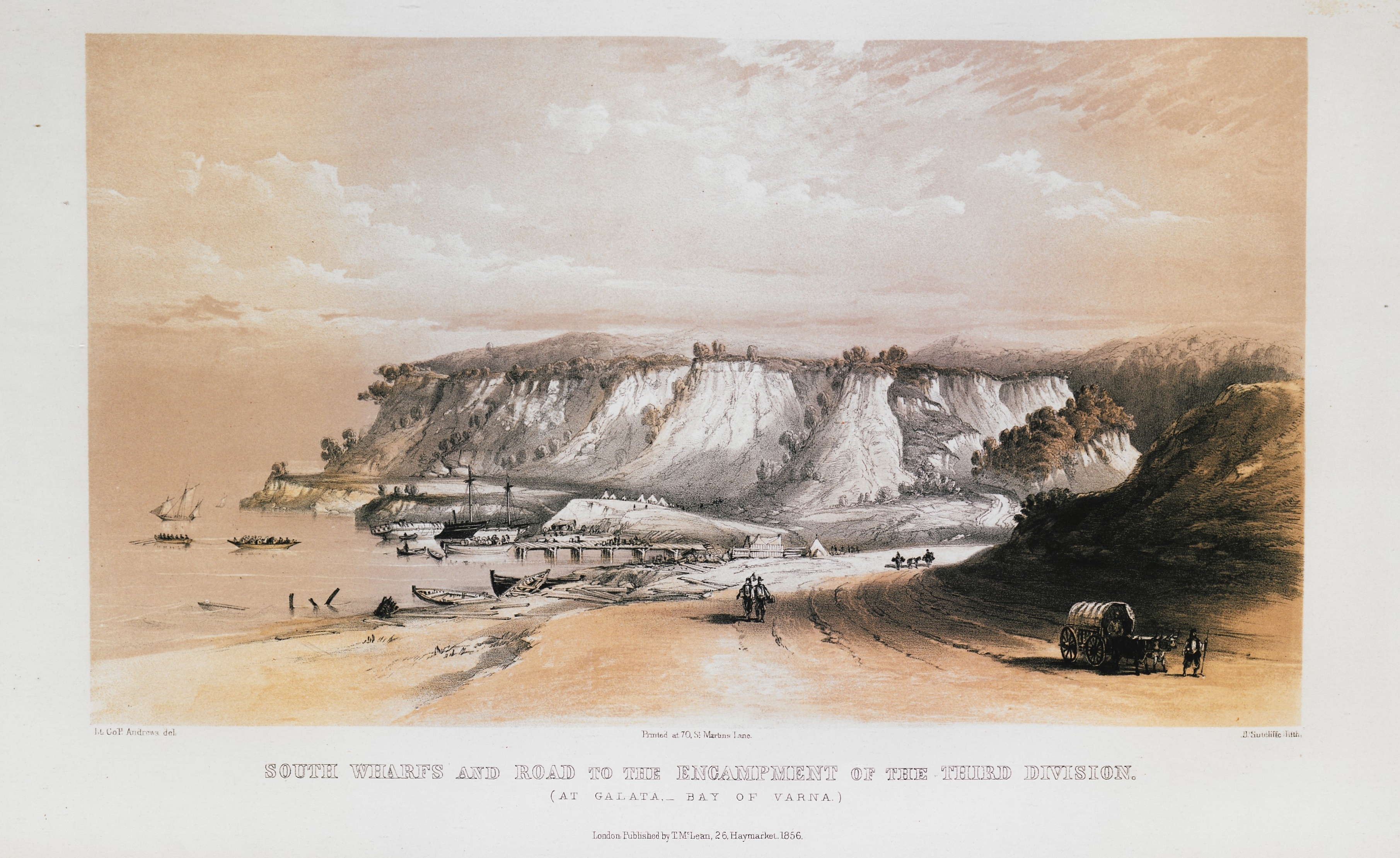
The bay of Galata at Varna, Bulgaria. In the background, the camp of the allies of the Crimean war (England, France and the Ottoman Empire).
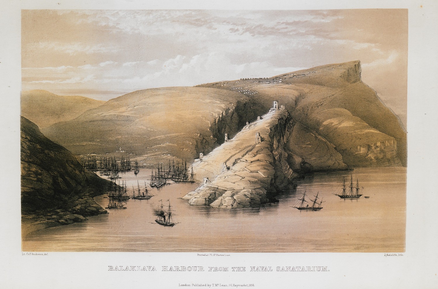
View of the harbour of Balaklava close to Sebastopol, Crimea. In the background, on the right, the ruins of the Genoese castle. On the left, ships of the British fleet.
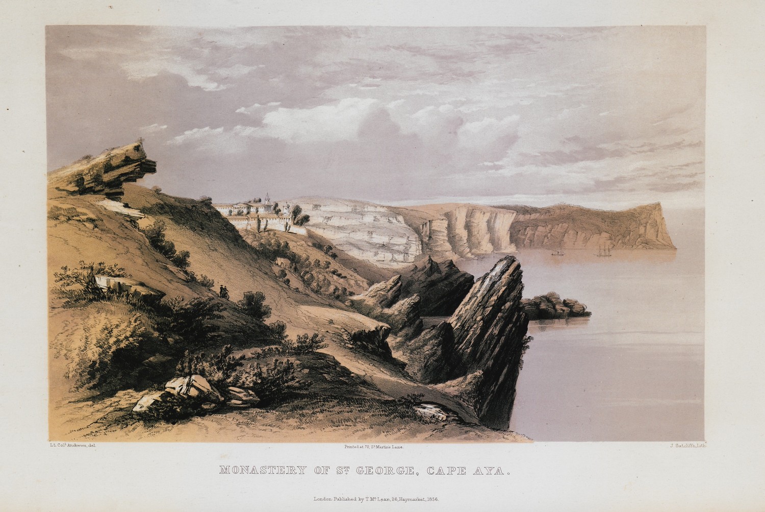
The monastery of Saint George at Balaklava, close to Sebastopol. In the background, cape Aya.
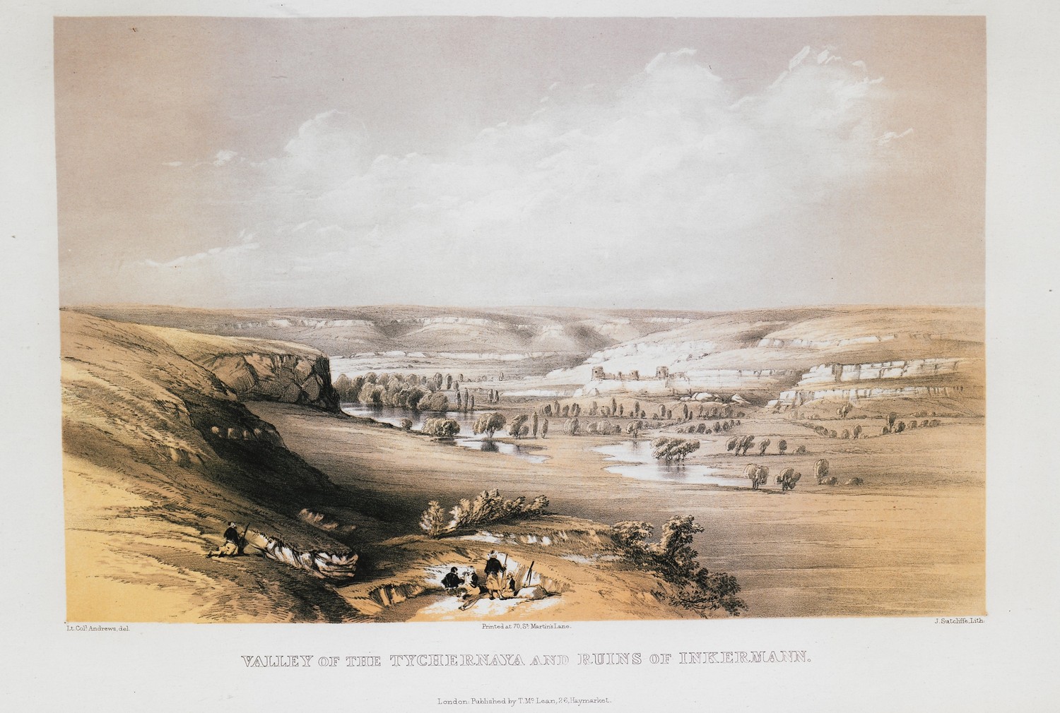
Landscape at Inkerman. In the foreground Chornaya river. In the background, the Byzantine fortress of Kalamita.
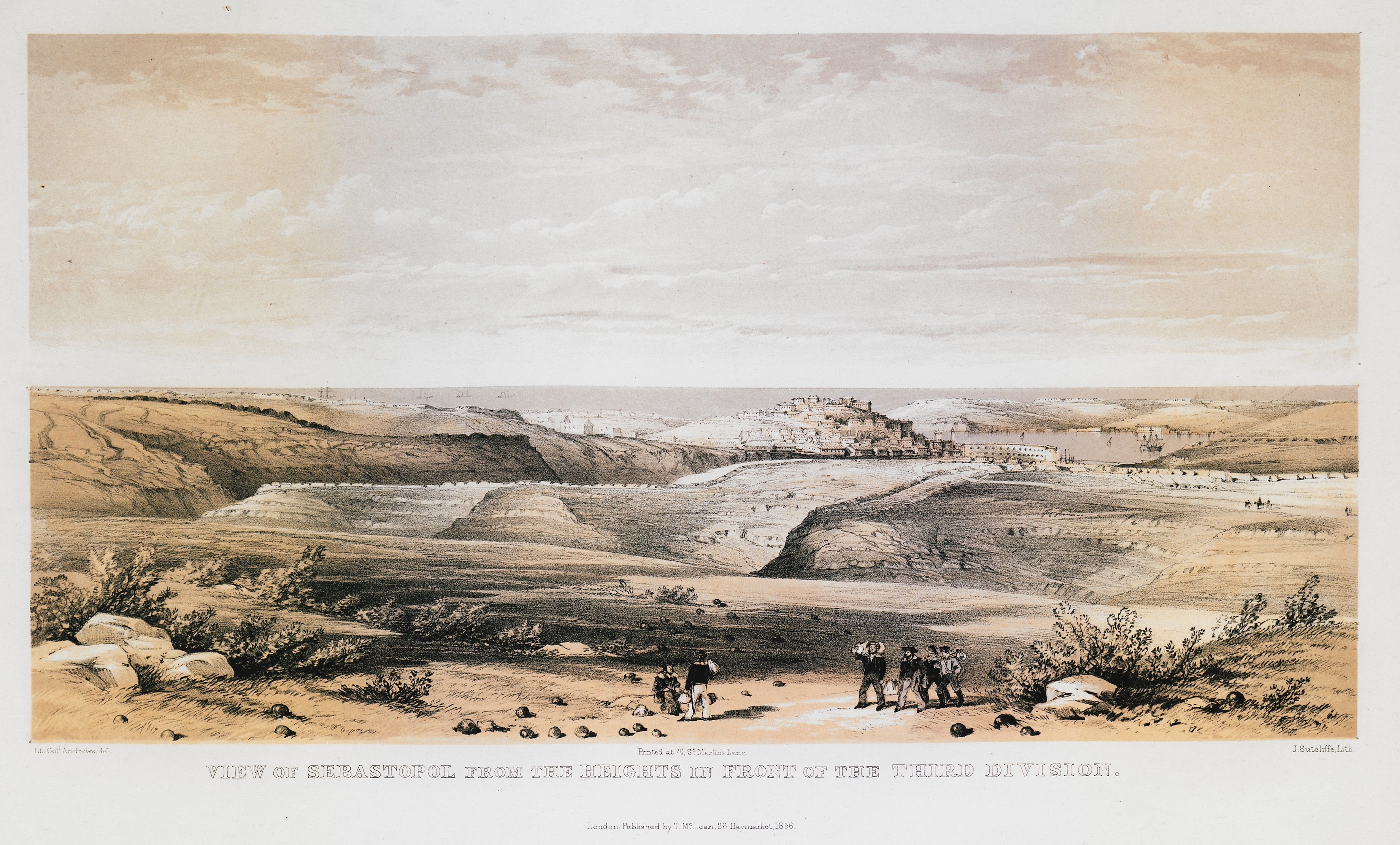
View of Sebastopol from the British camp during the Crimean war.
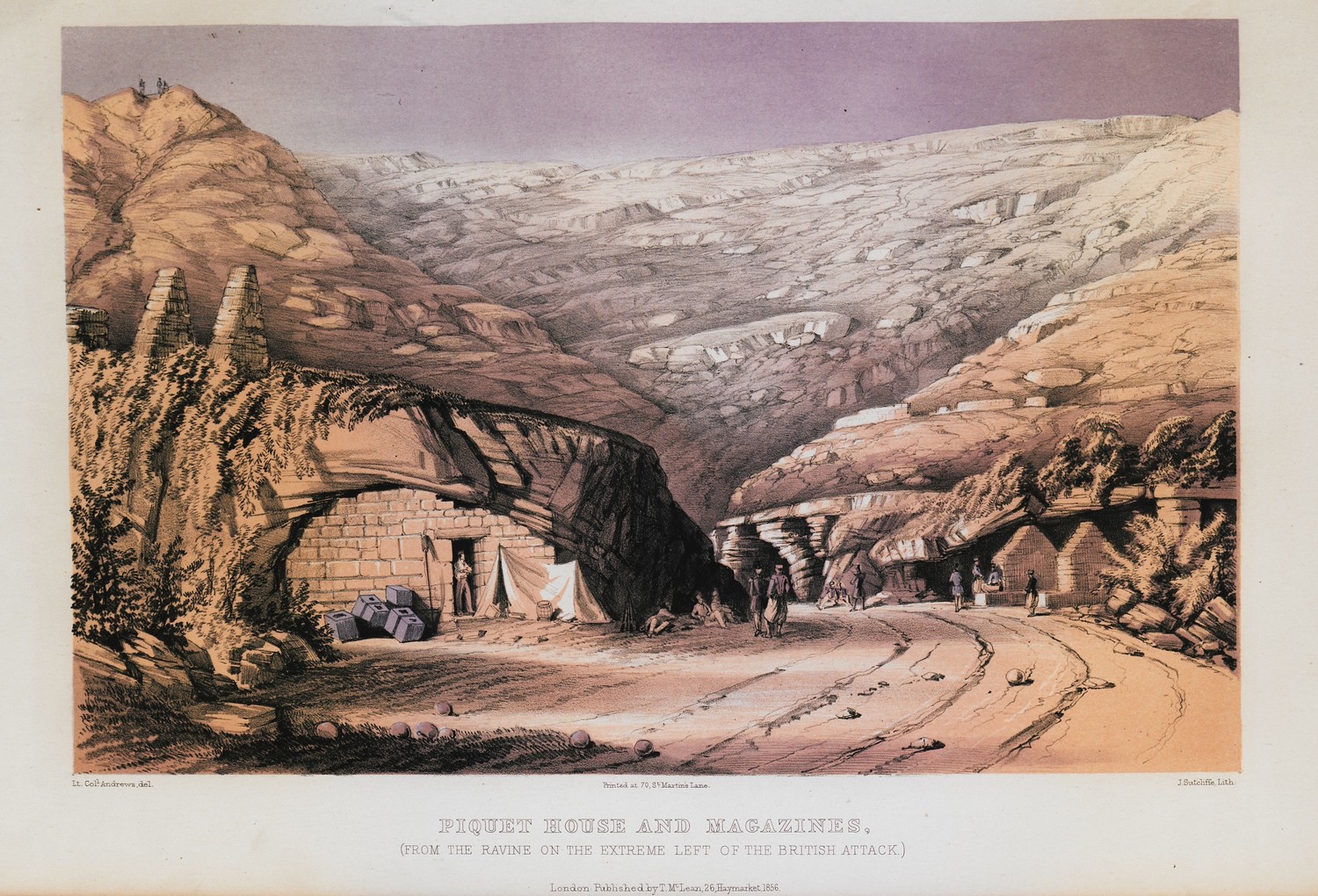
Positions of the British army in the siege of Sebastopol.
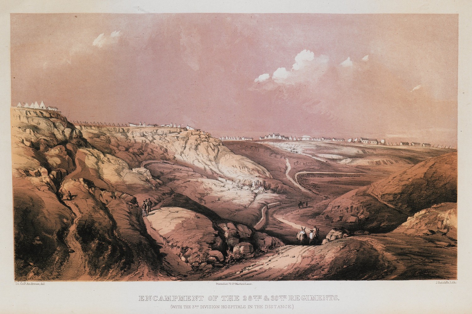
Camp of the allies of the Crimean war (England, France and the Ottoman Empire) at Sebastopol.
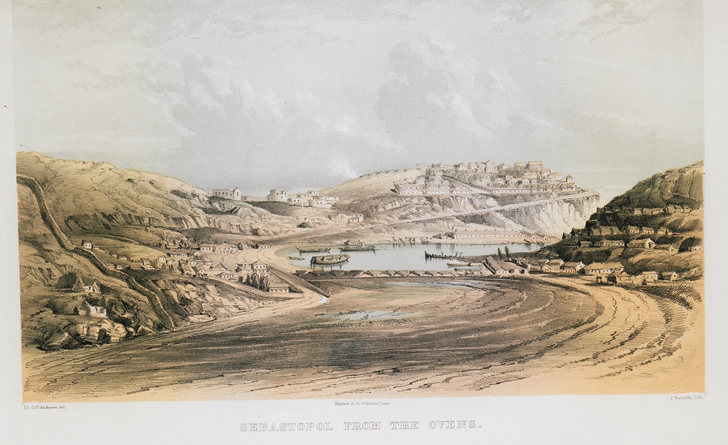
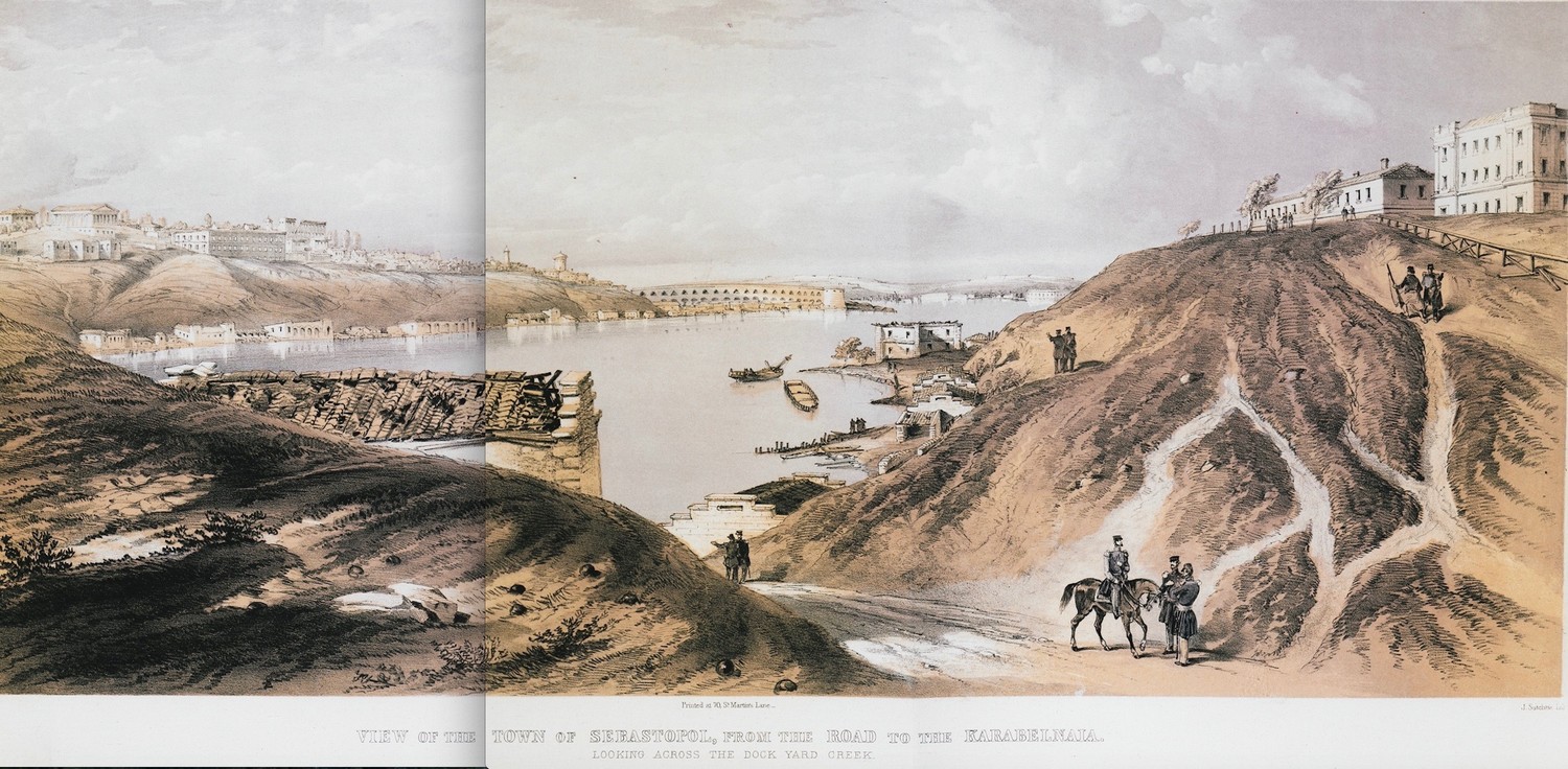
View of Sebastopol.
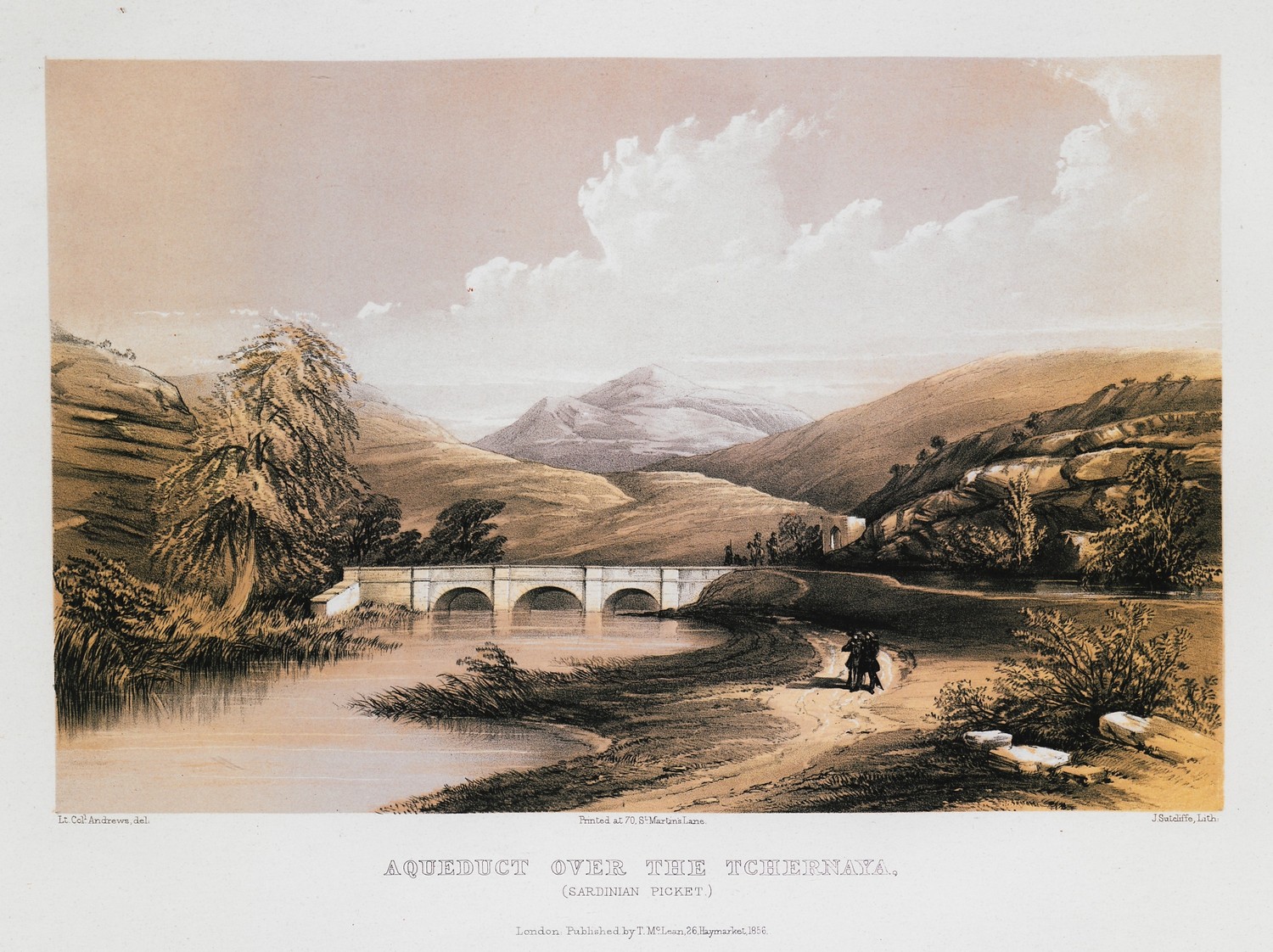
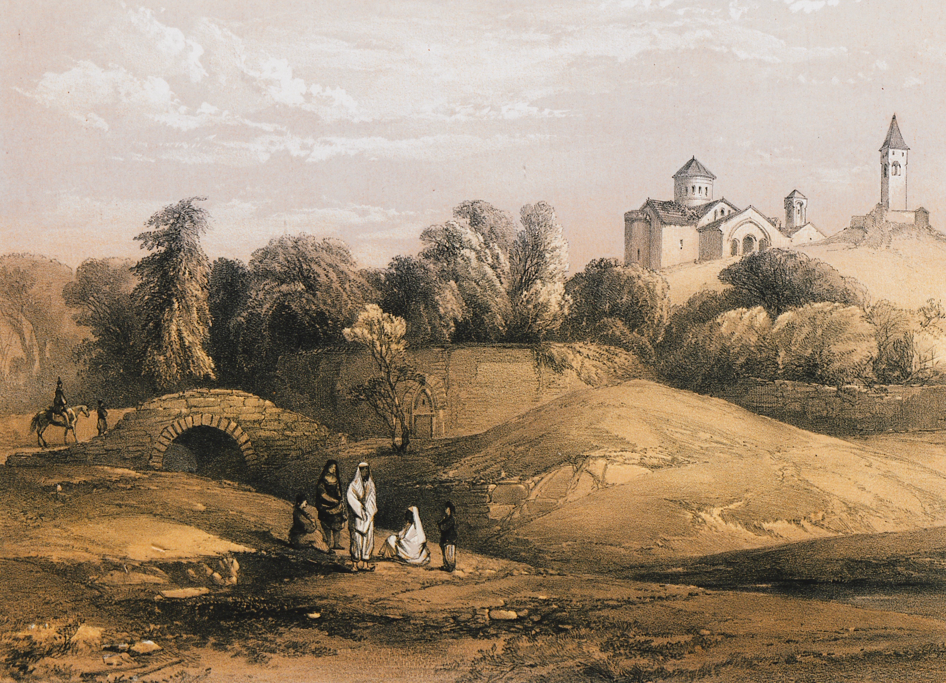
Aqueduct on Chornaya river, position held by the Kingdom of Sardinia in the Crimean war.
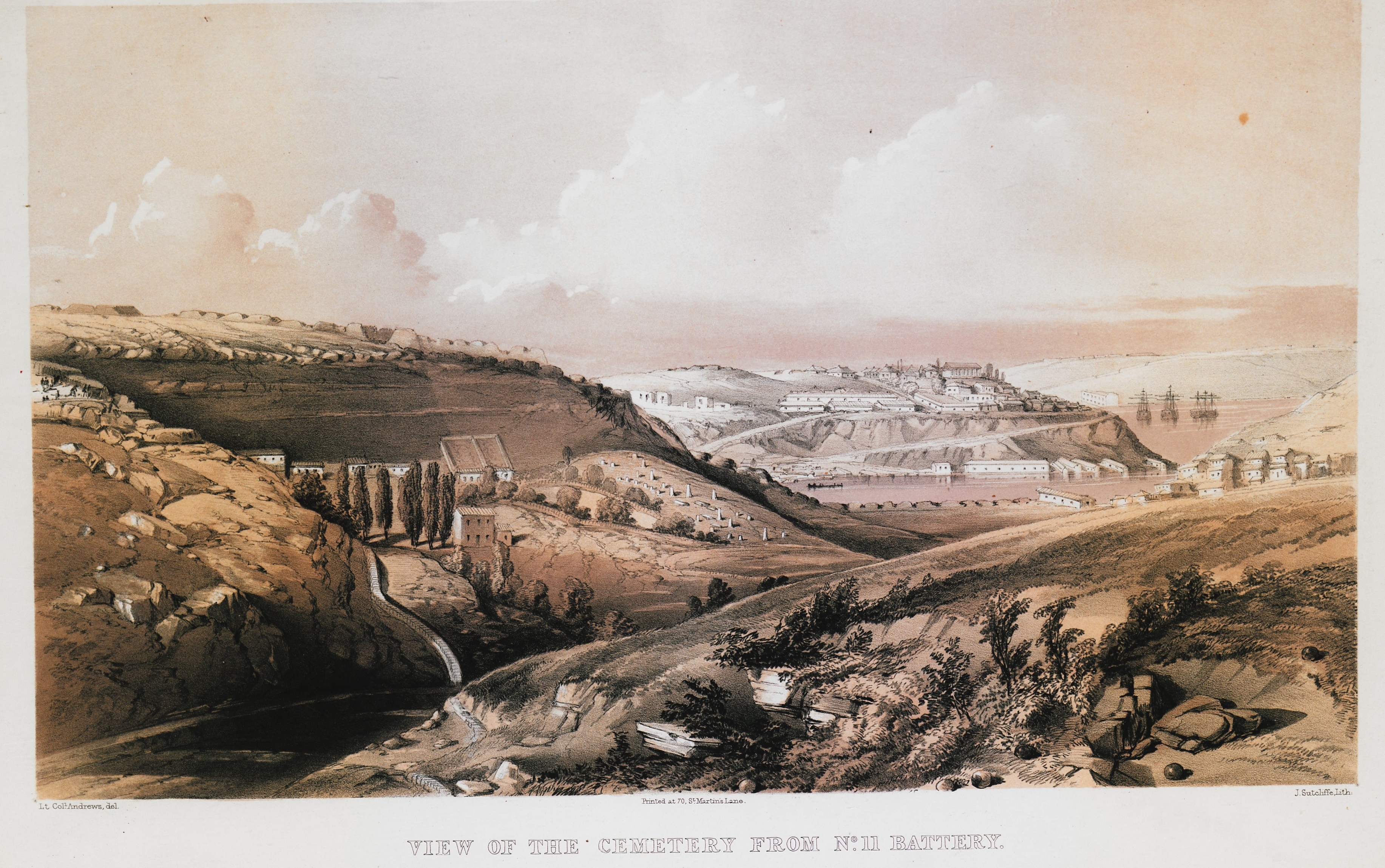
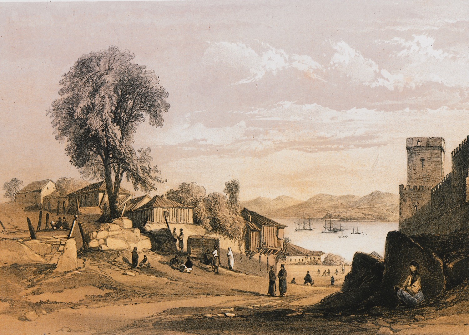
Cemetery at Sebastopol. This spot was highly important to the British forces in the Crimean war.
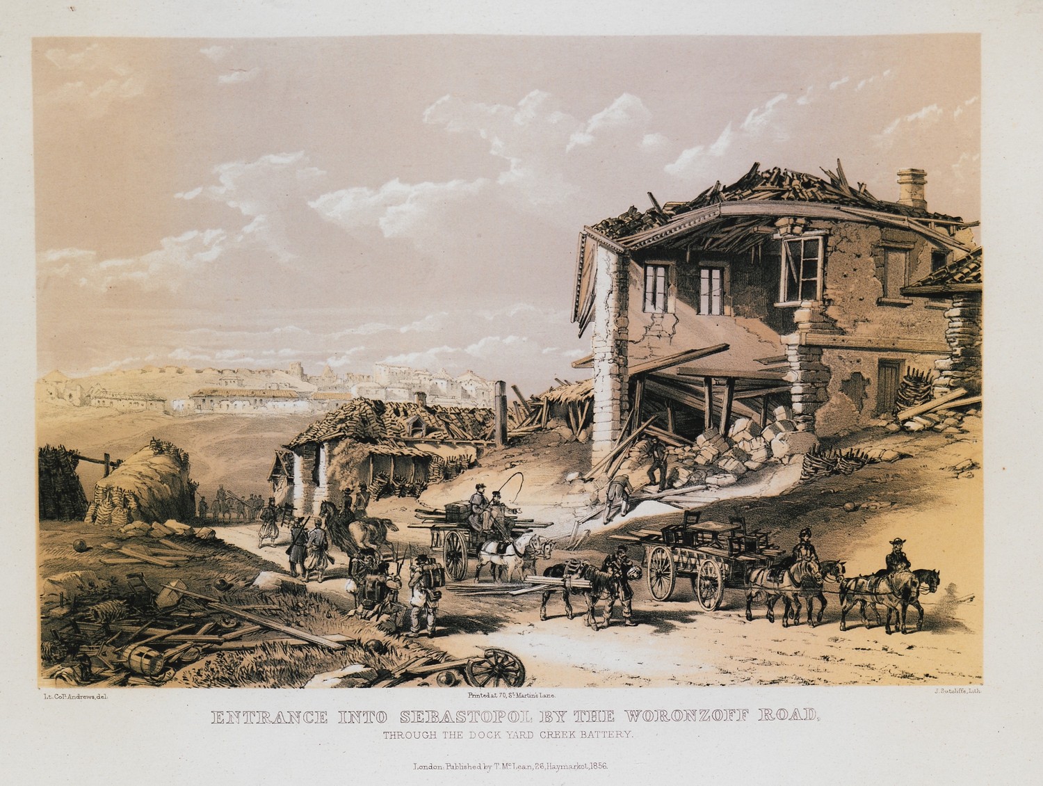
View of Sebastopol in 1855, after its siege by the British army during the Crimean war.
Sebastopol in 1855.
Church of Hagia Sophia, Trebizond.
View of Sinope, Asia Minor. On the right, part of the city castle.
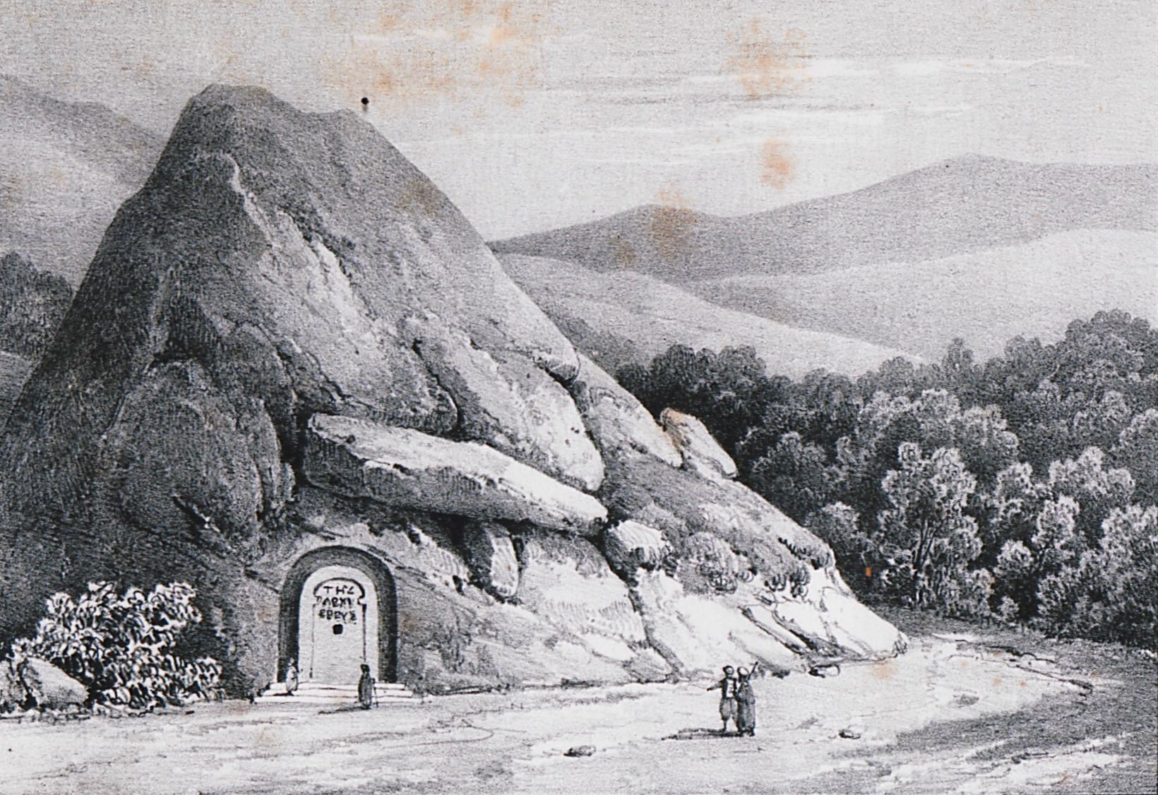
Tombs of the Kings of Pontus at Amasya: the eastern mausoleum, also known as Aynali Magara.
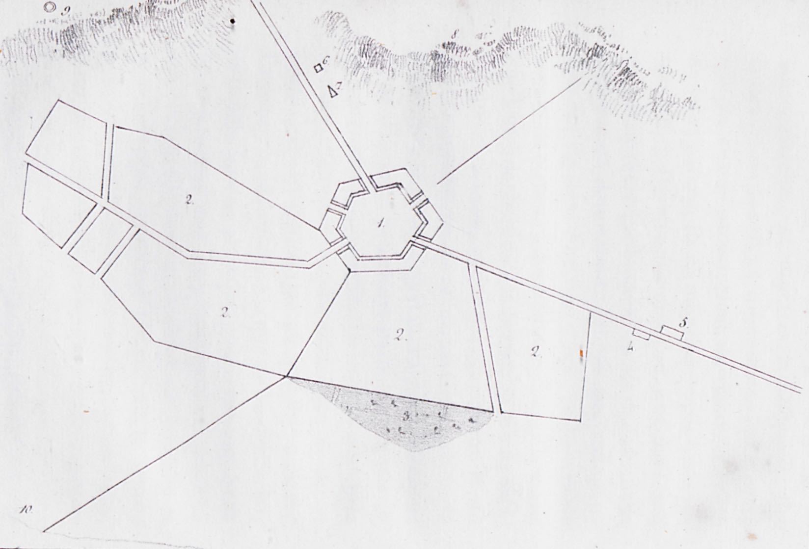
Topographical map of Erzerum. Numbers 1 and 2 show the town castle and the modern settlement respectively. Number 8 shows the position of Taurus mountains.
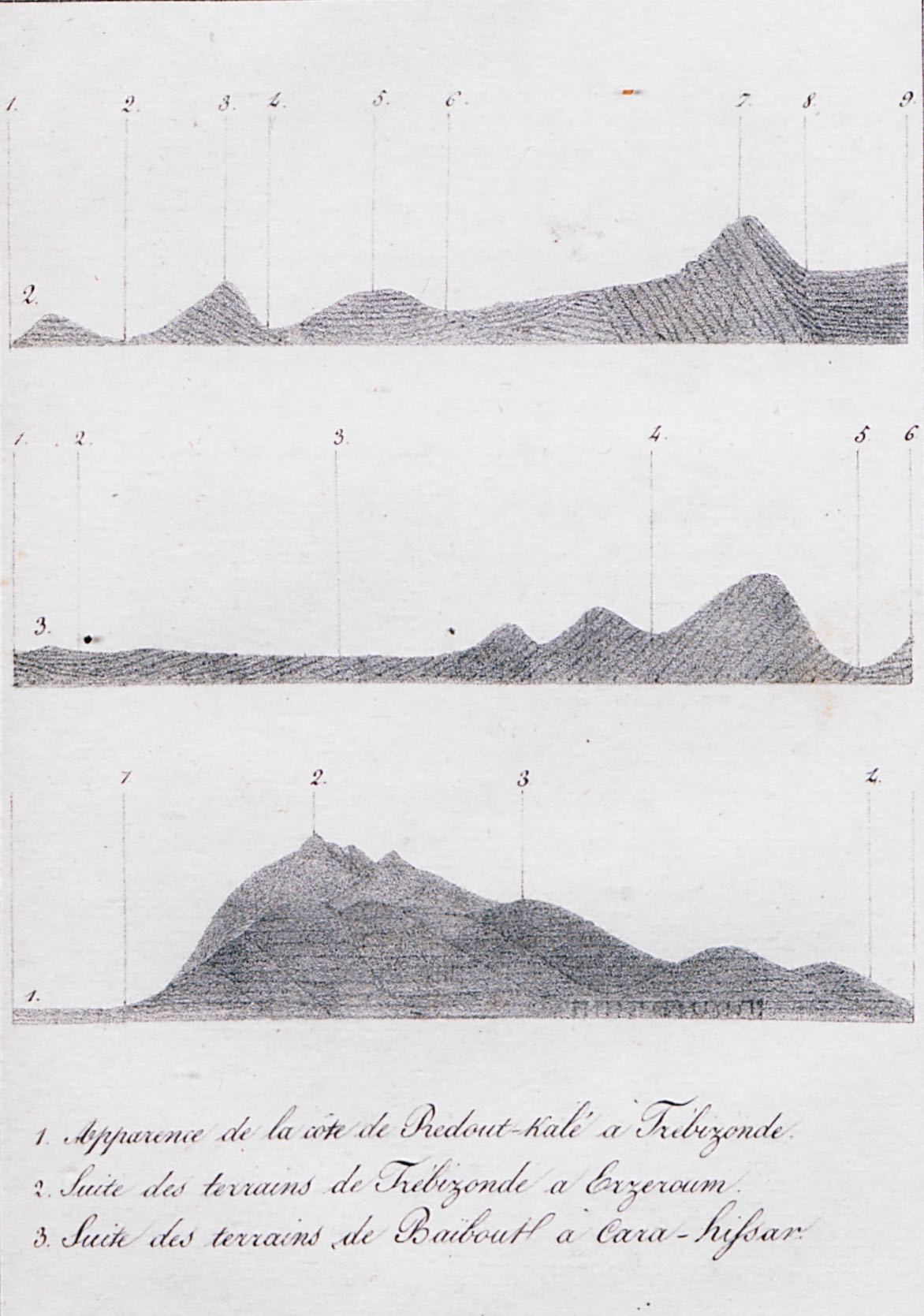
1 (bottom): Geologic cross-section of the region between Redout Kale (today Kuveli) in Georgia, and Trebizond, Turkey. 2 (top): Geologic cross-section of the region between Trebizond and Erzerum. 3 (middle): Geologic cross-section of the region between Bayburt and Şebinkarahisar.
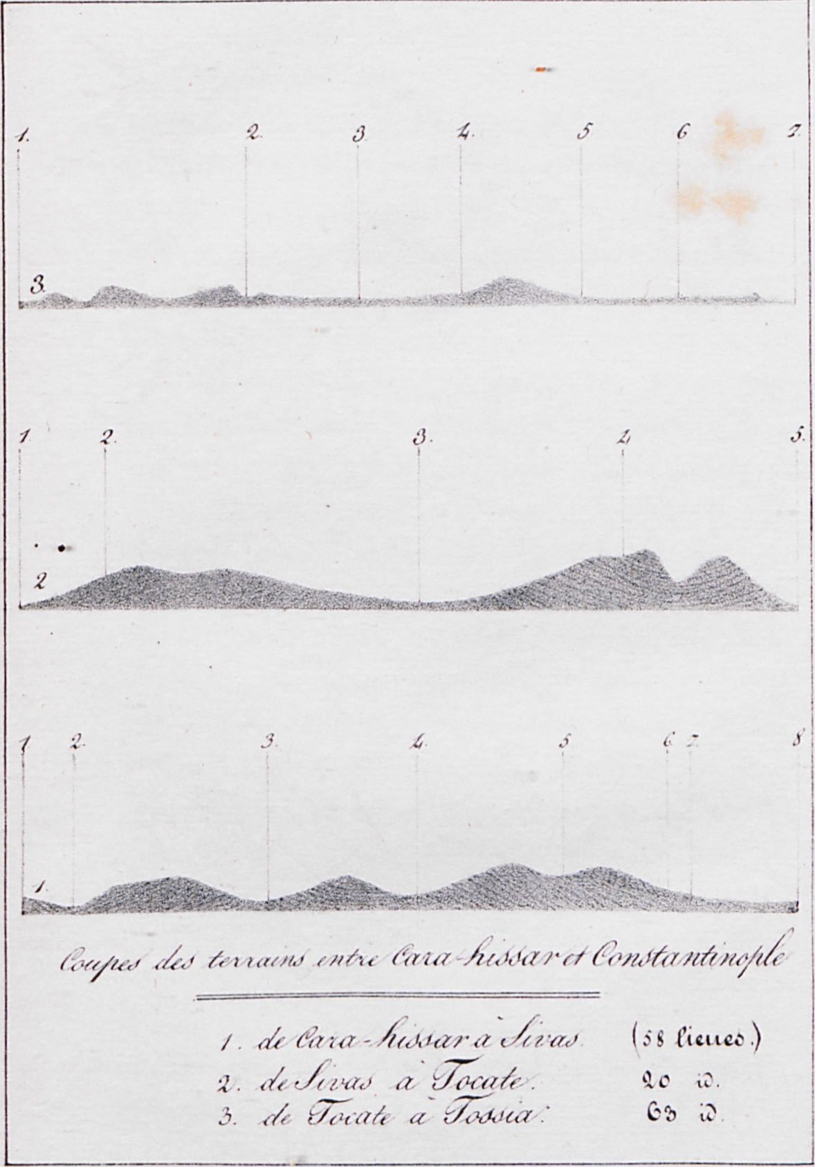
1 (bottom): Geologic cross-section of the region between Şebinkarahisar and Sivas. 2 (middle): Geologic cross-section of the region between Sivas and Tocat. 3 (top): Geologic cross-section of the region between Tocat and Tosya.
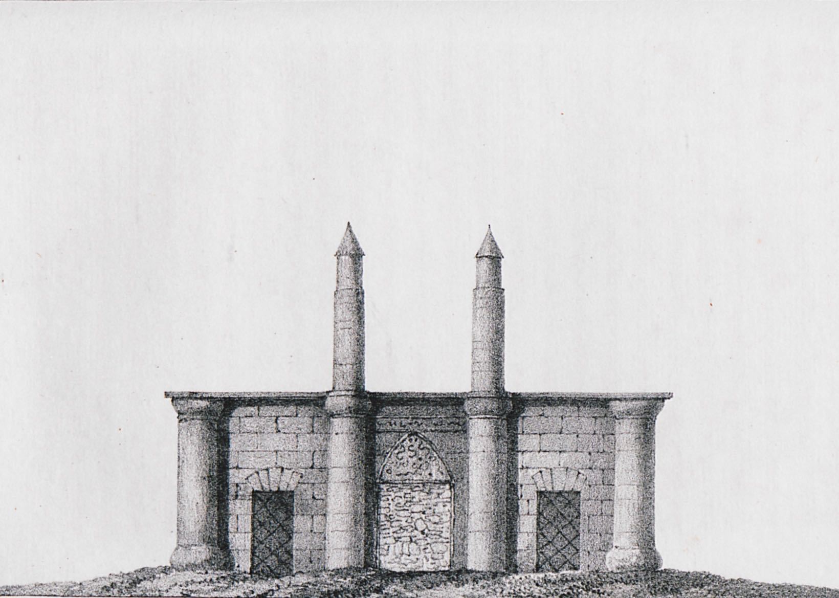
Gökmedrese (Celestial Madrasah) in Sivas.
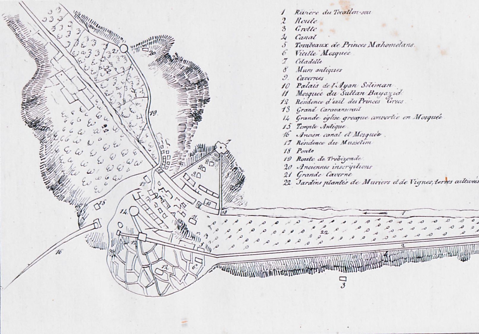
Map of Amasya. Numbers 9 and 20 show the Tombs of the Kings of Pontus.


