Central Greece (1691 Subjects)
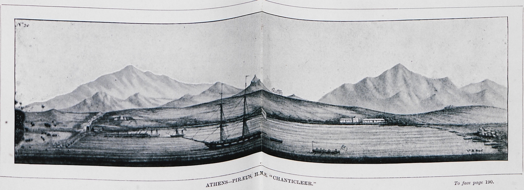
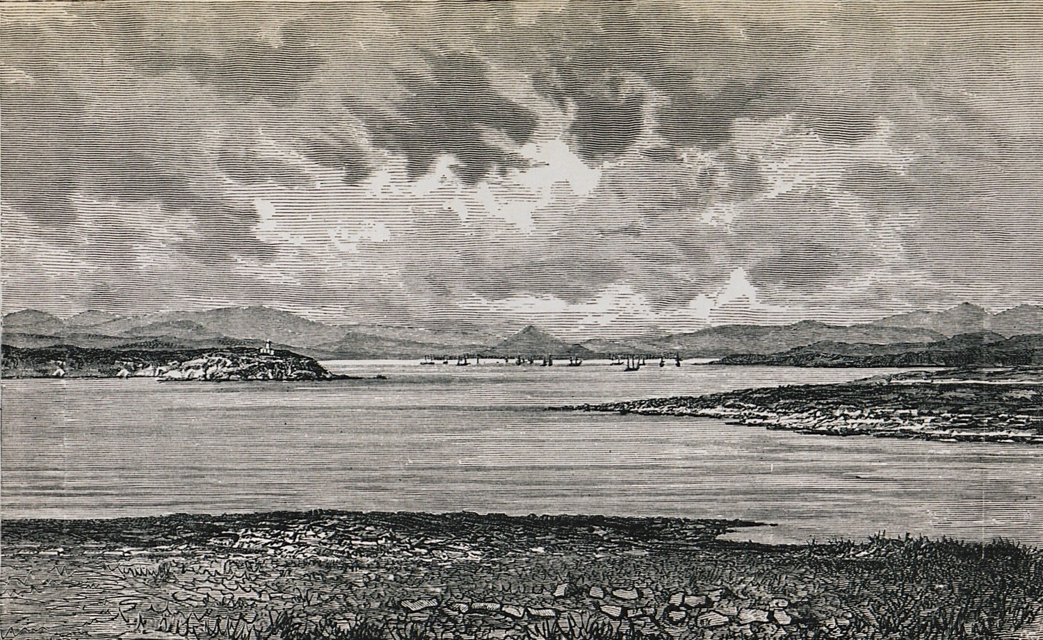
H.M.S “Chanticleer” at Piraeus port.
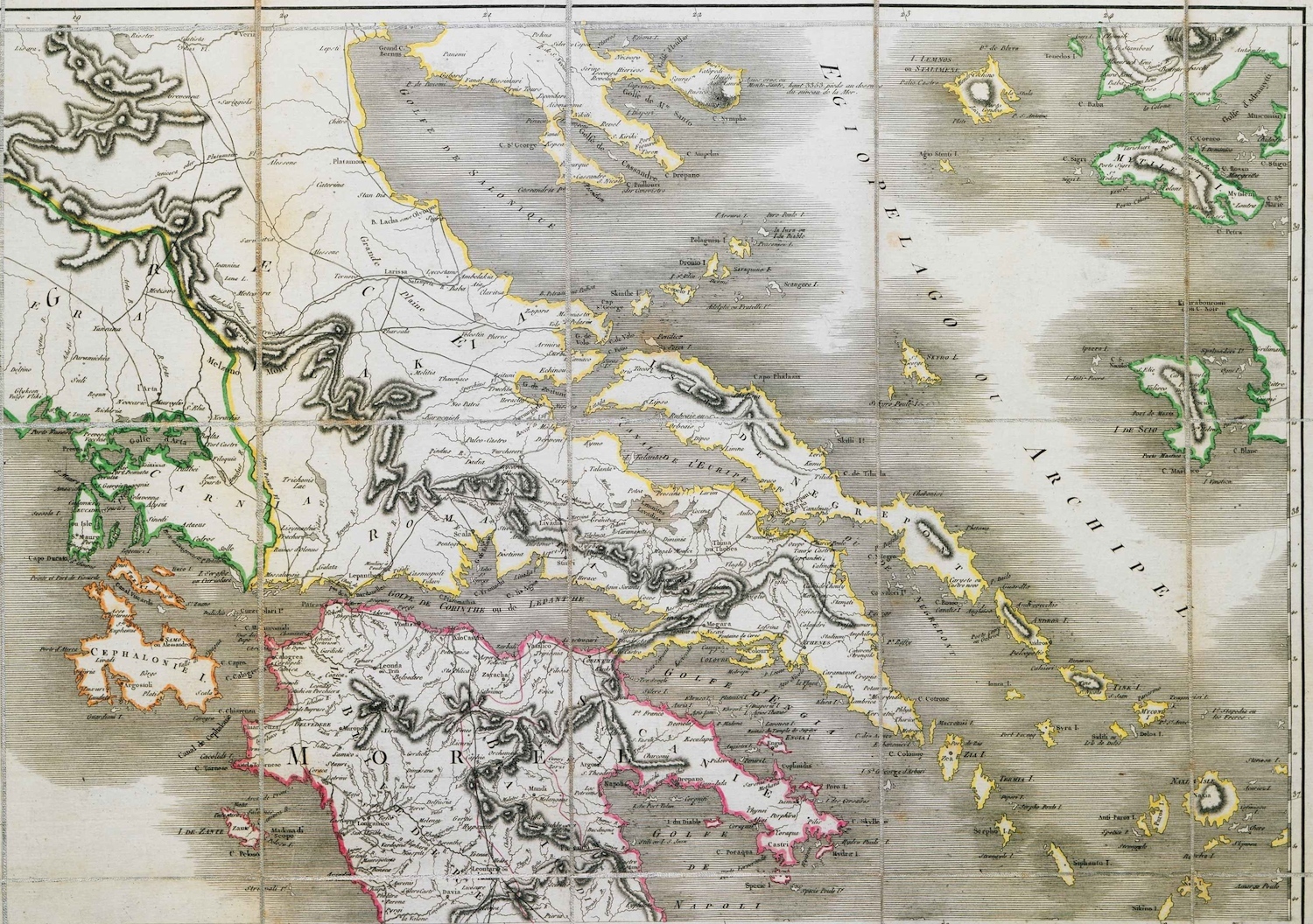
Map of part of Central Greece, the Peloponnese and the Greek islands.
Map of Central Greece, Euboea, Thessaly and Epirus.
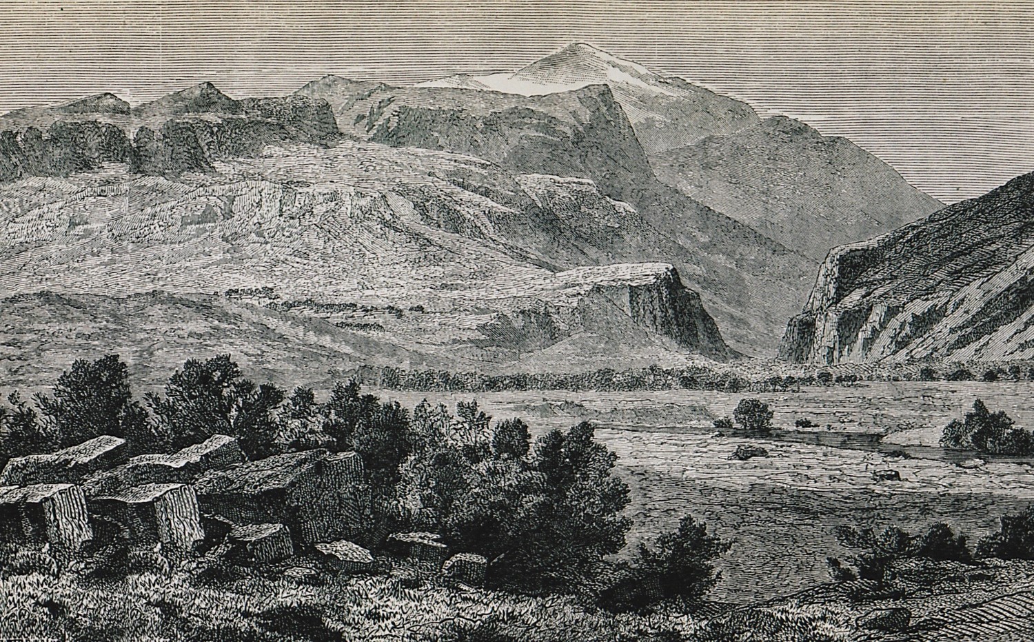
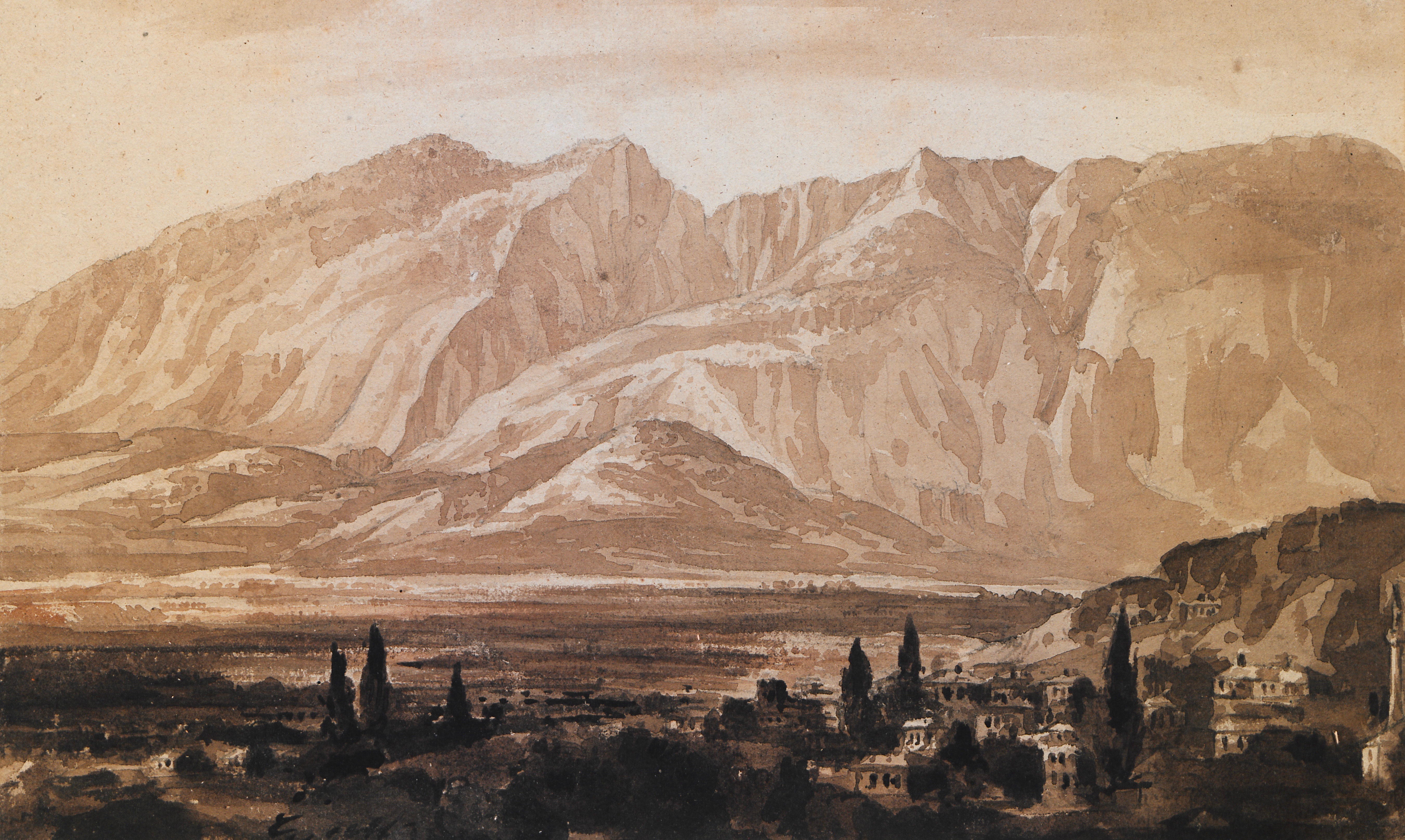
Mount Oete.
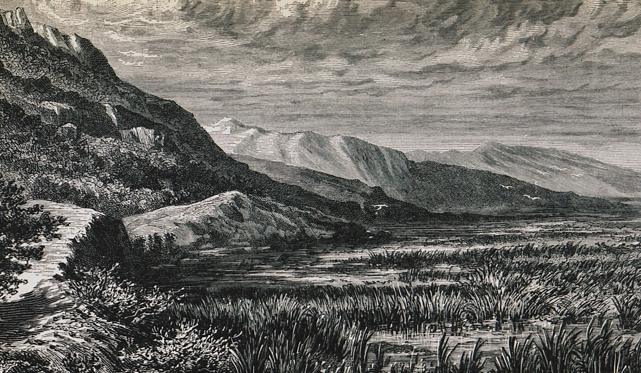
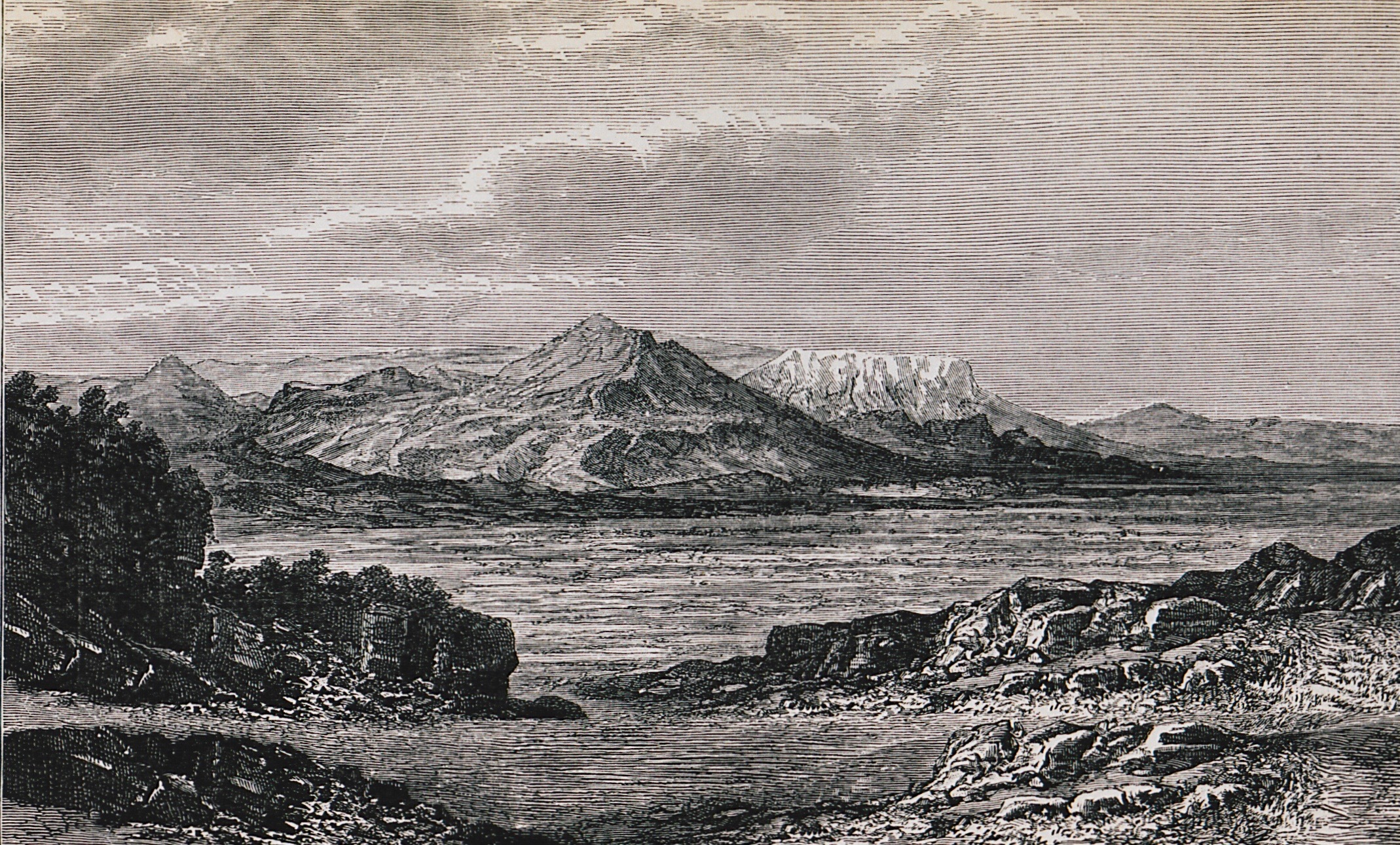
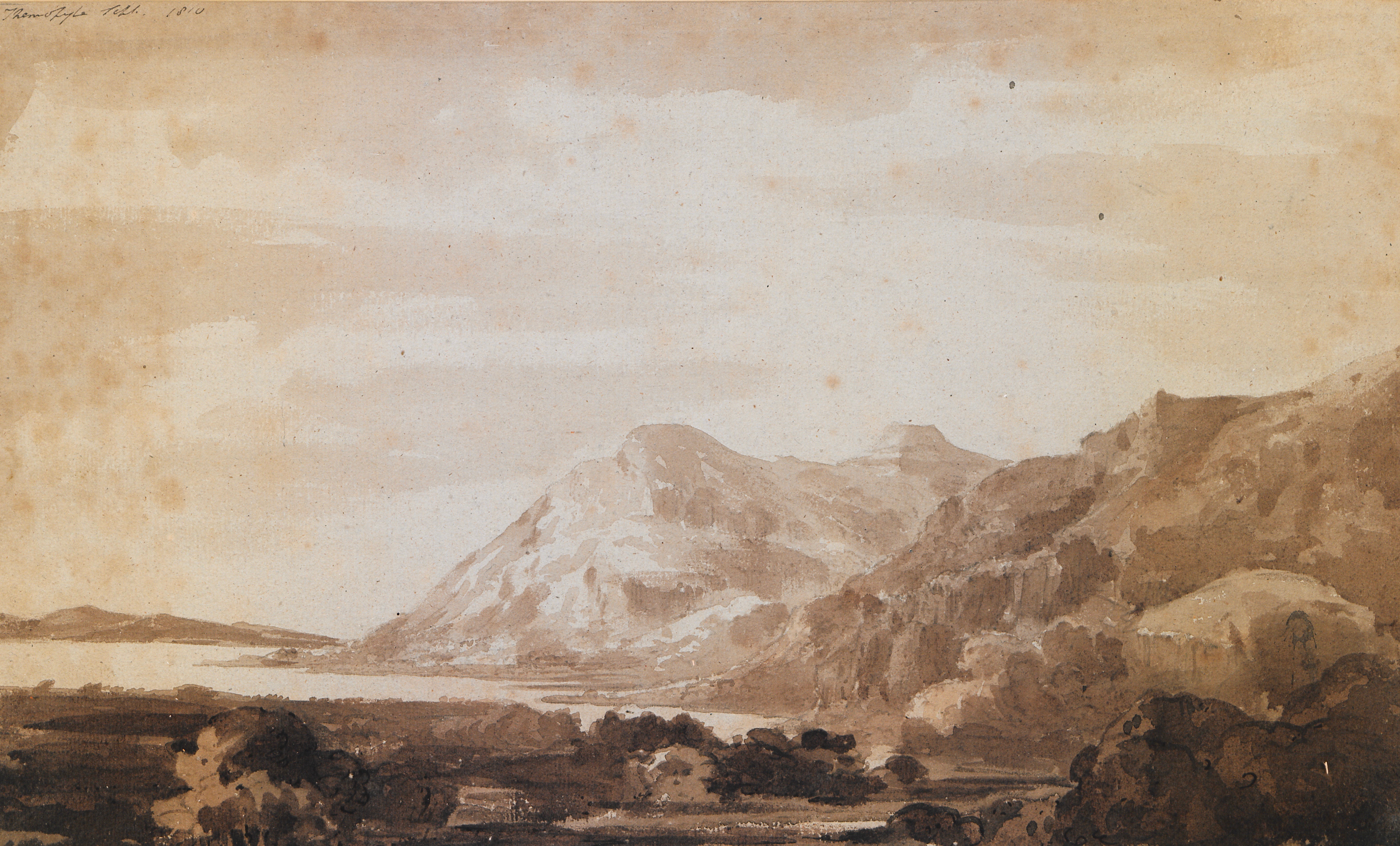
Landscape at Thermopylae.
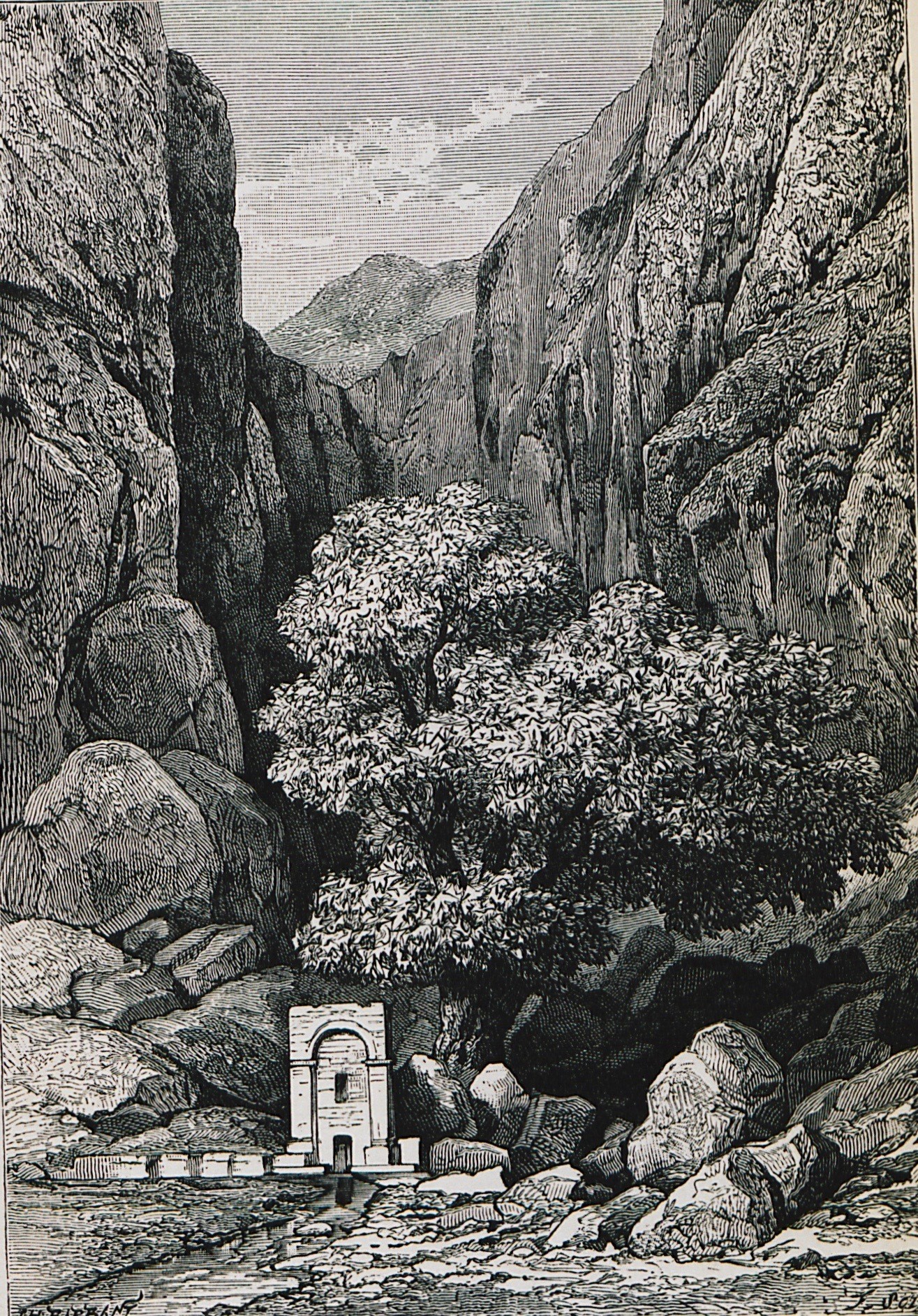
Castalian spring, Delphi.
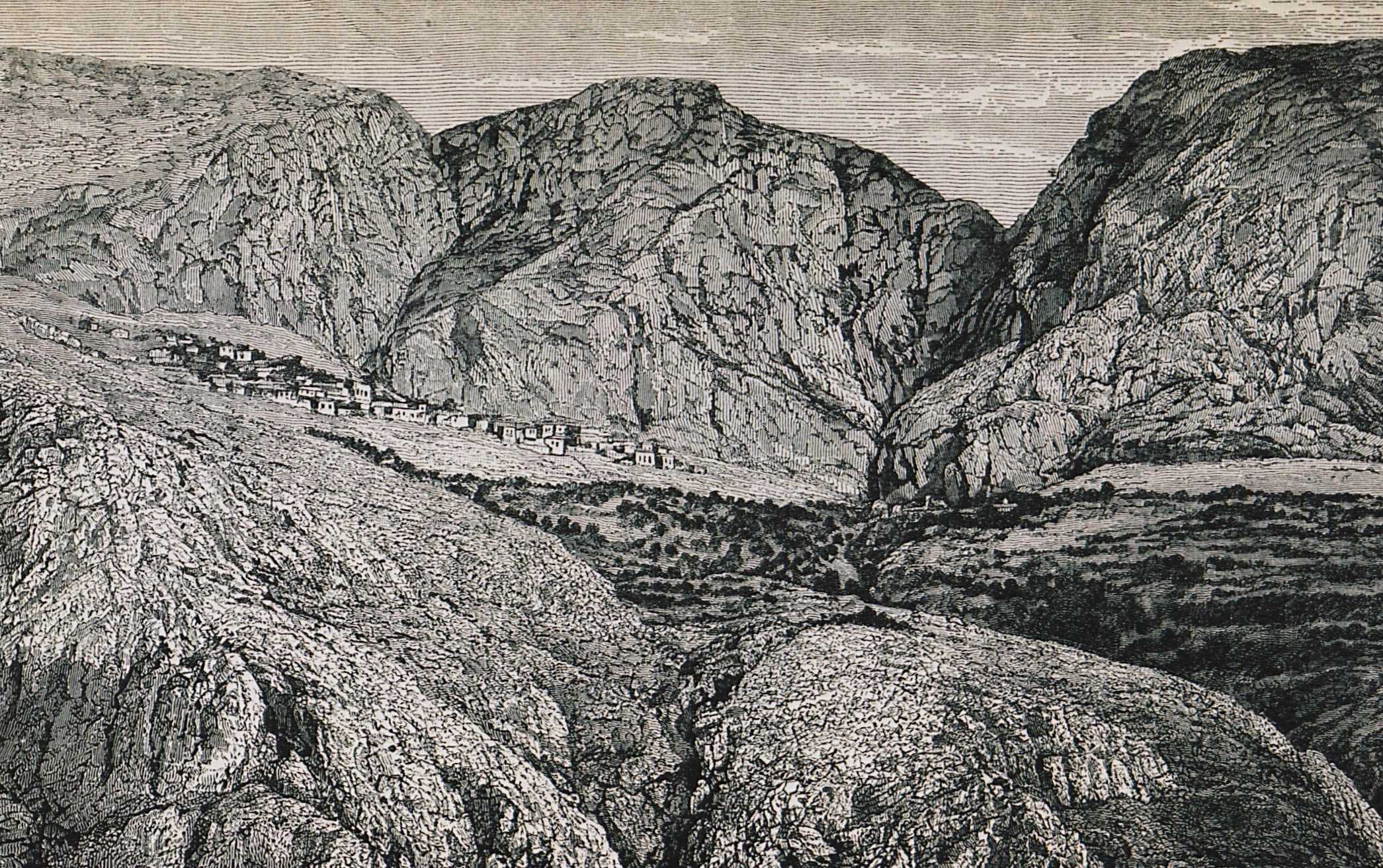
Kastri, Delphi.
Crissaean field, Delphi.
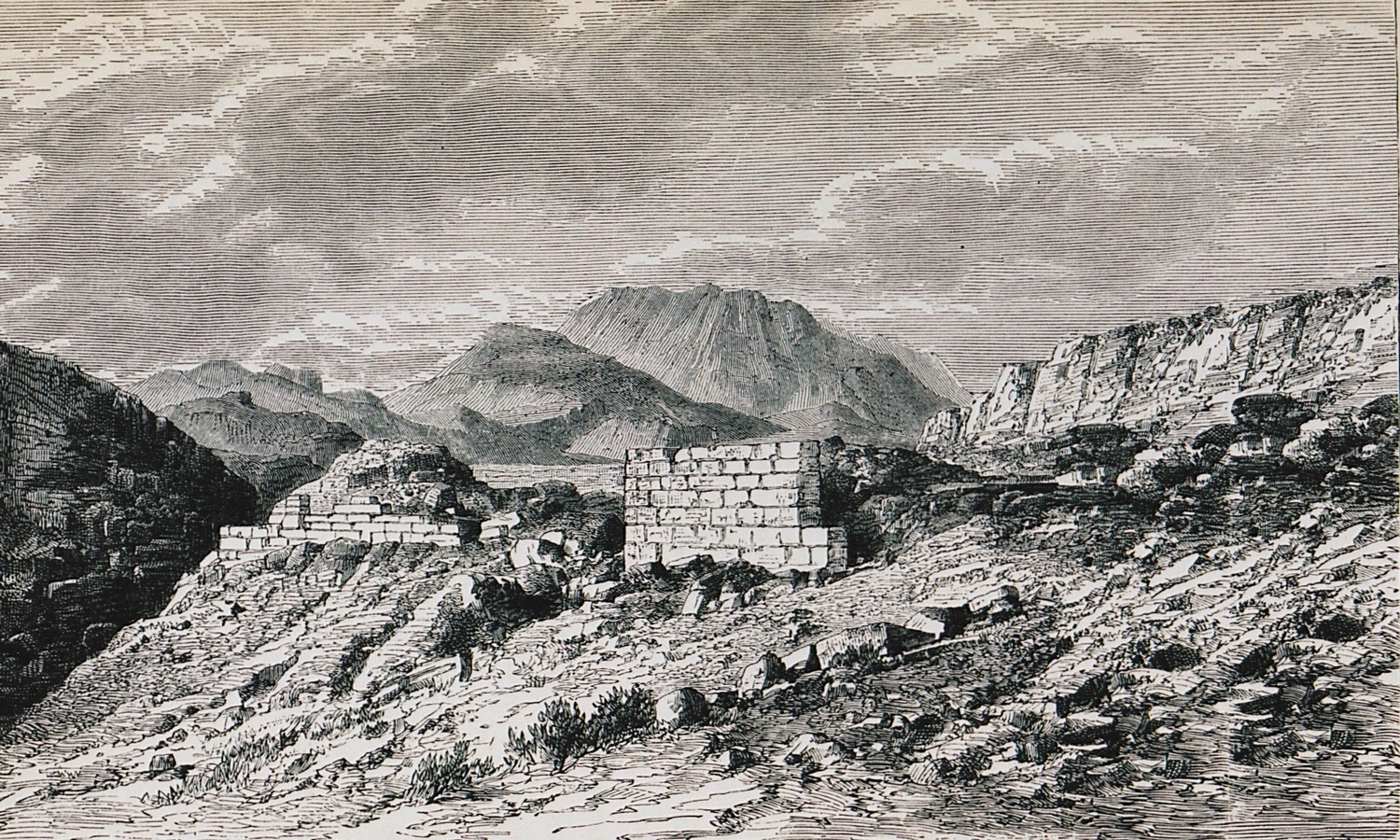
The ruins of ancient Daulis. In the background, the plain of Chaeronea.
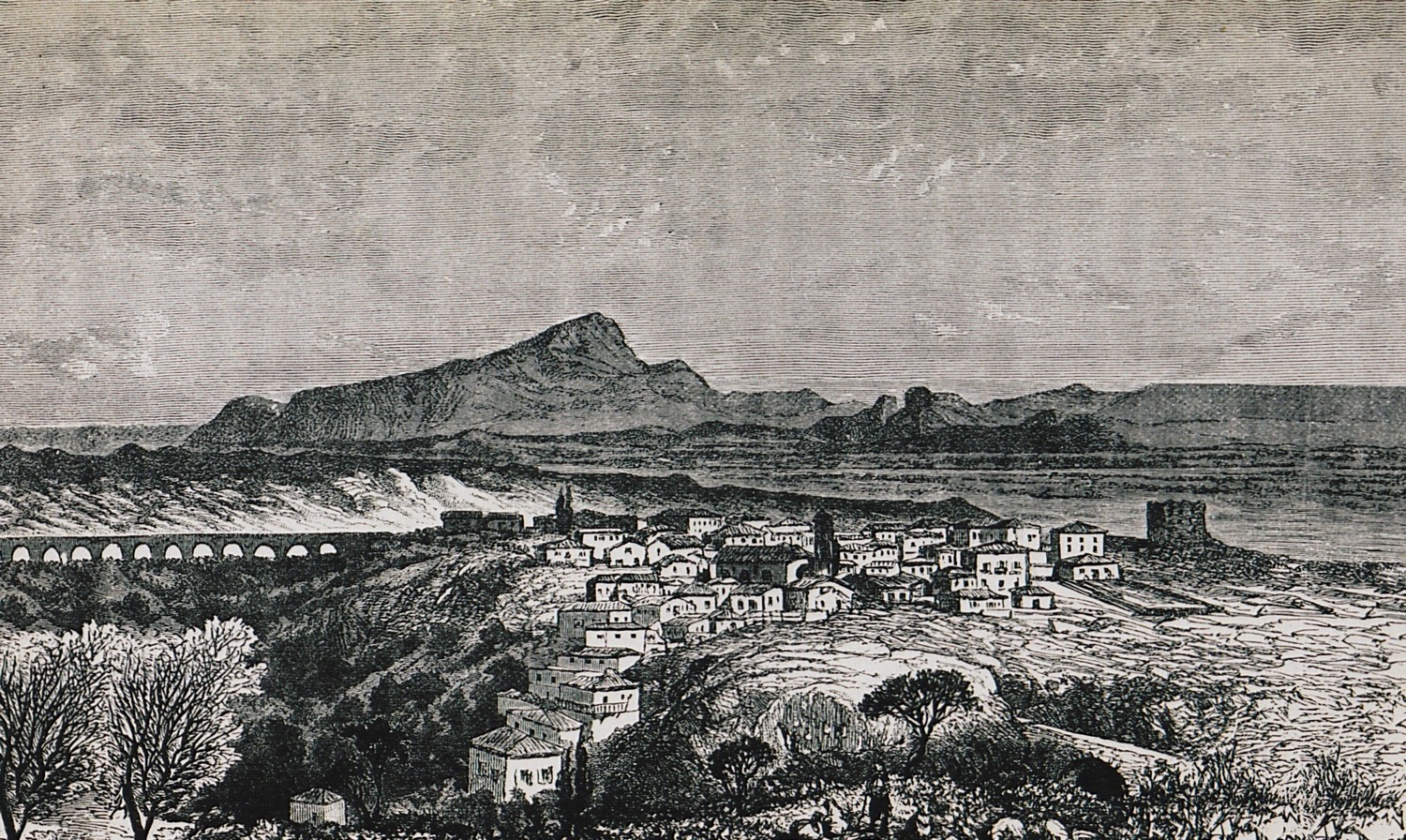
Thebes.
Landscape at Thebes.
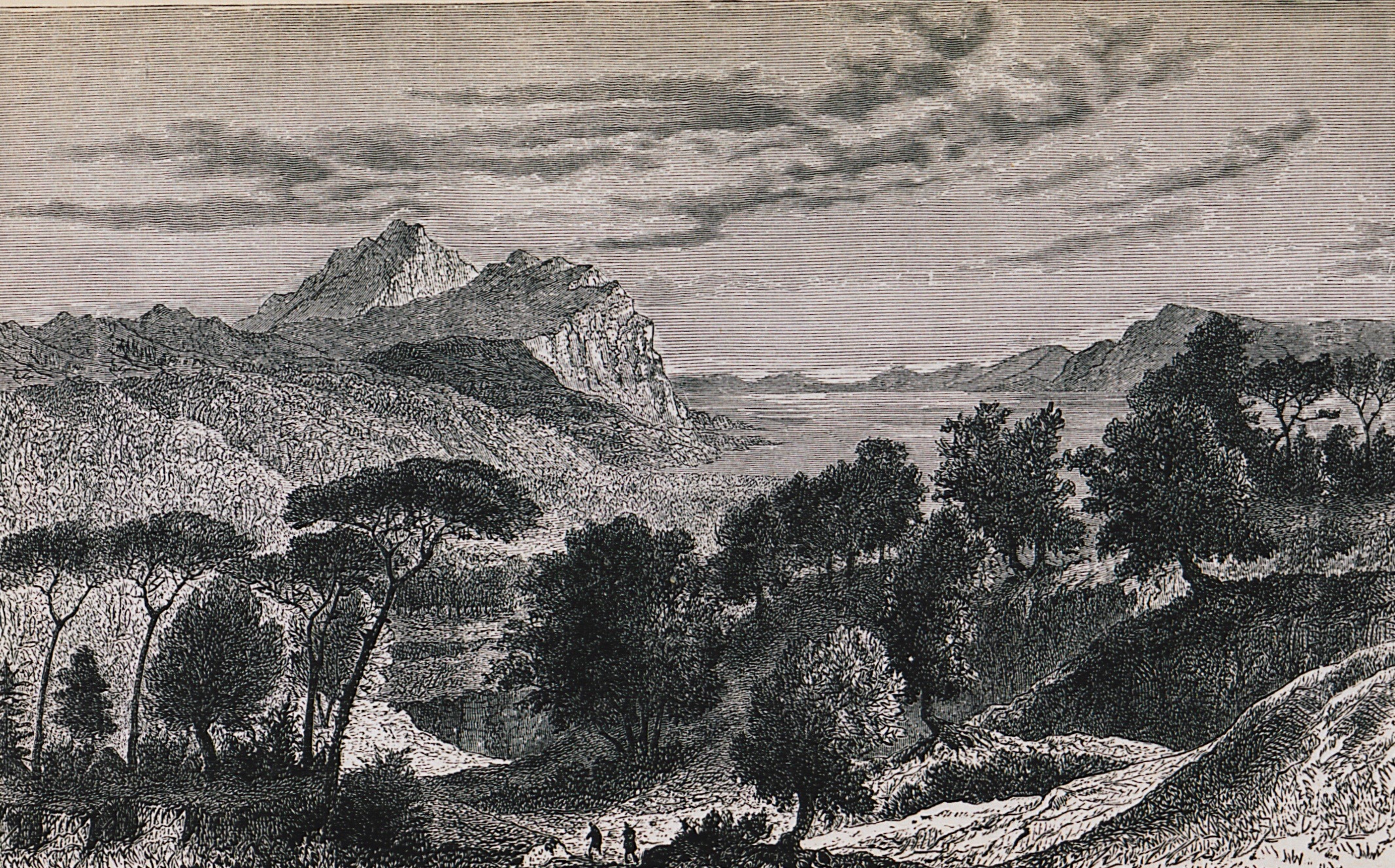
Landscape at Euripus strait.
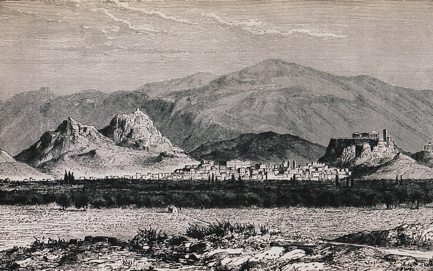
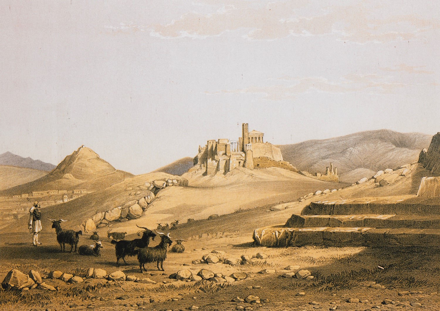
View of Athens. On the left, Lycabettus hill. On the right, the Acropolis.
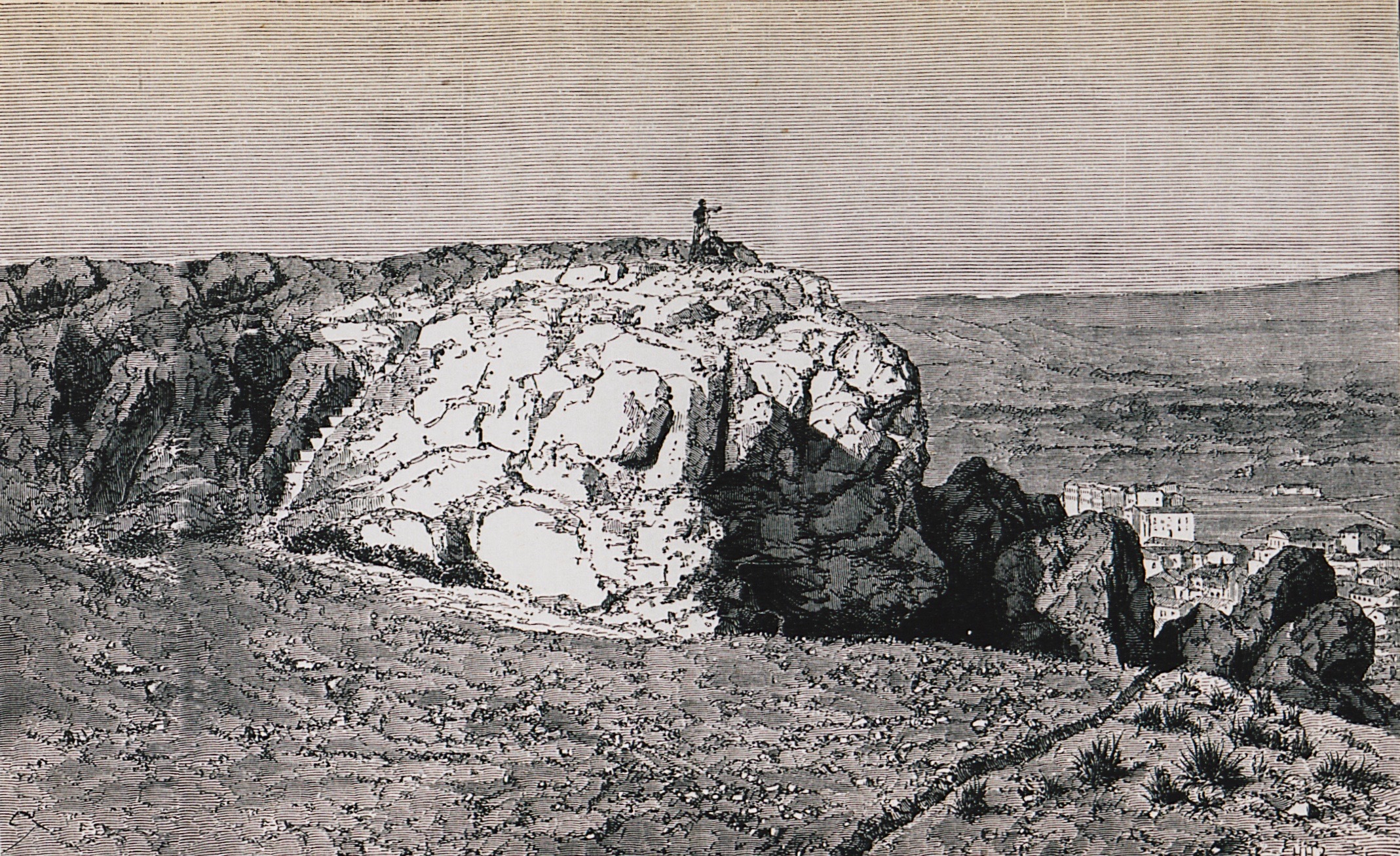
Areopagus, Athens.
The Parthenon (left), the Propylaea (centre) and the Erechtheion (right).
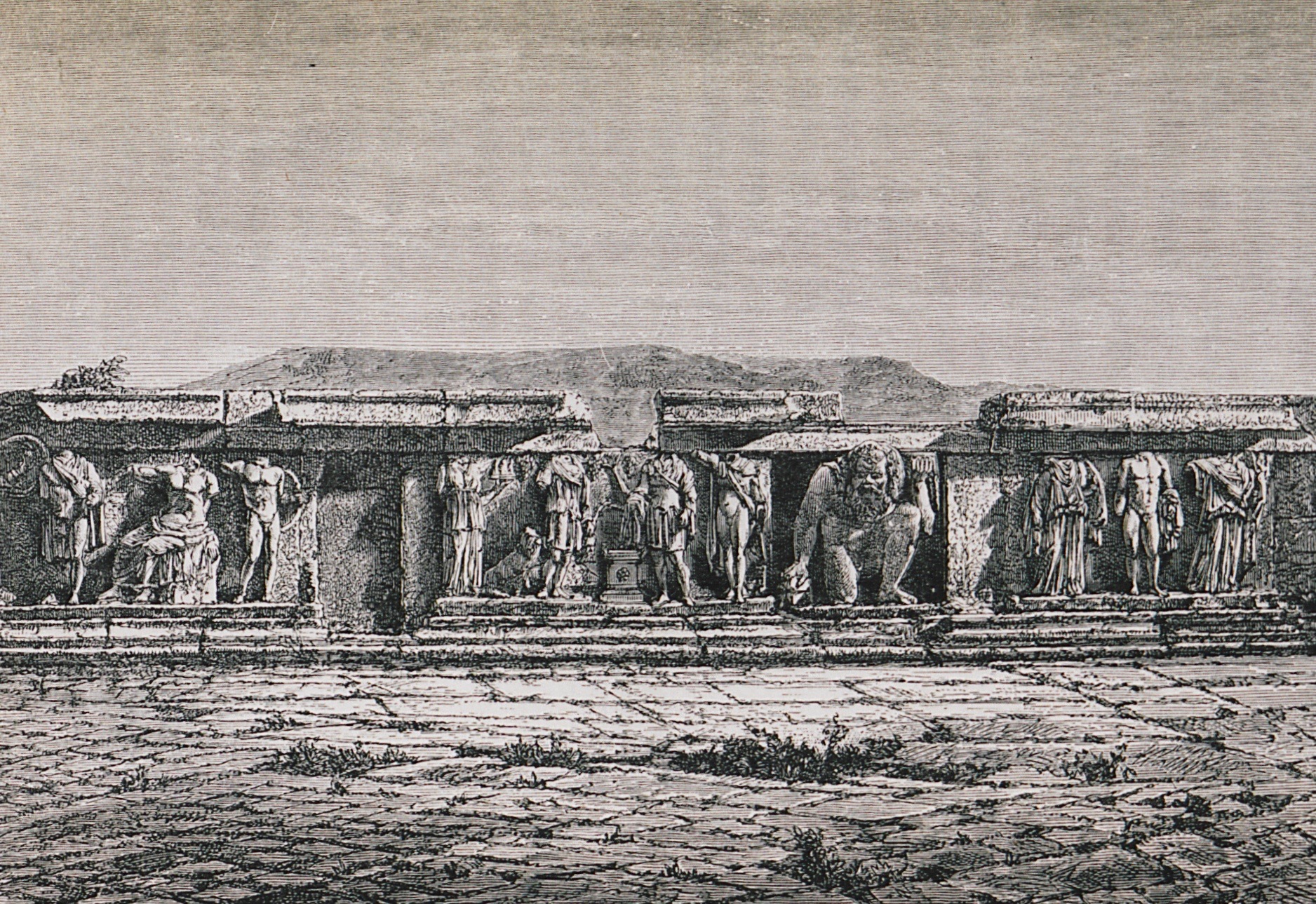
Reliefs from the theatre of Dionysus on the southern slope of the Acropolis.
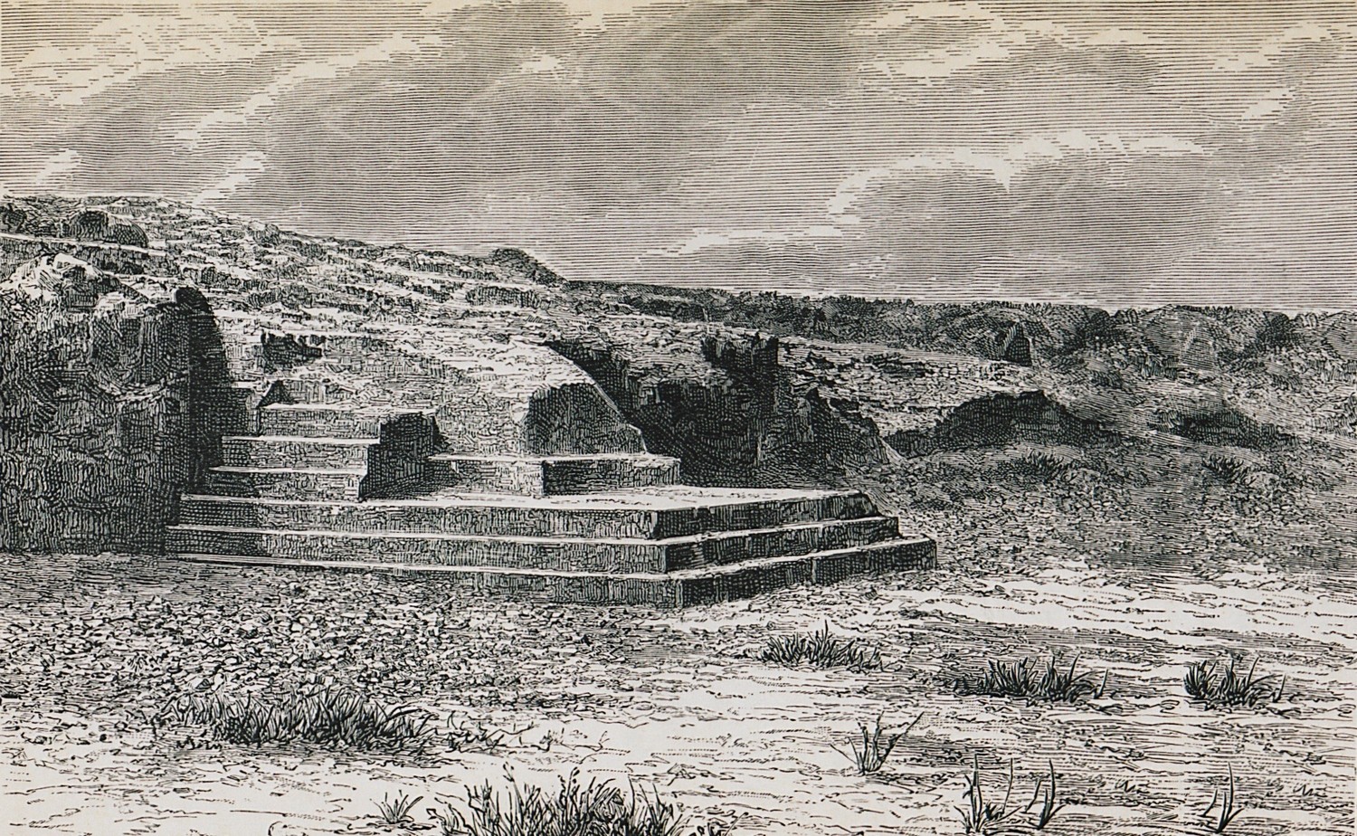
Pnyx hill with the ancient tribune (Bema), Athens.
The library of Hadrian, Athens.
Landscape at Marathon.
Acropolis, Athens.
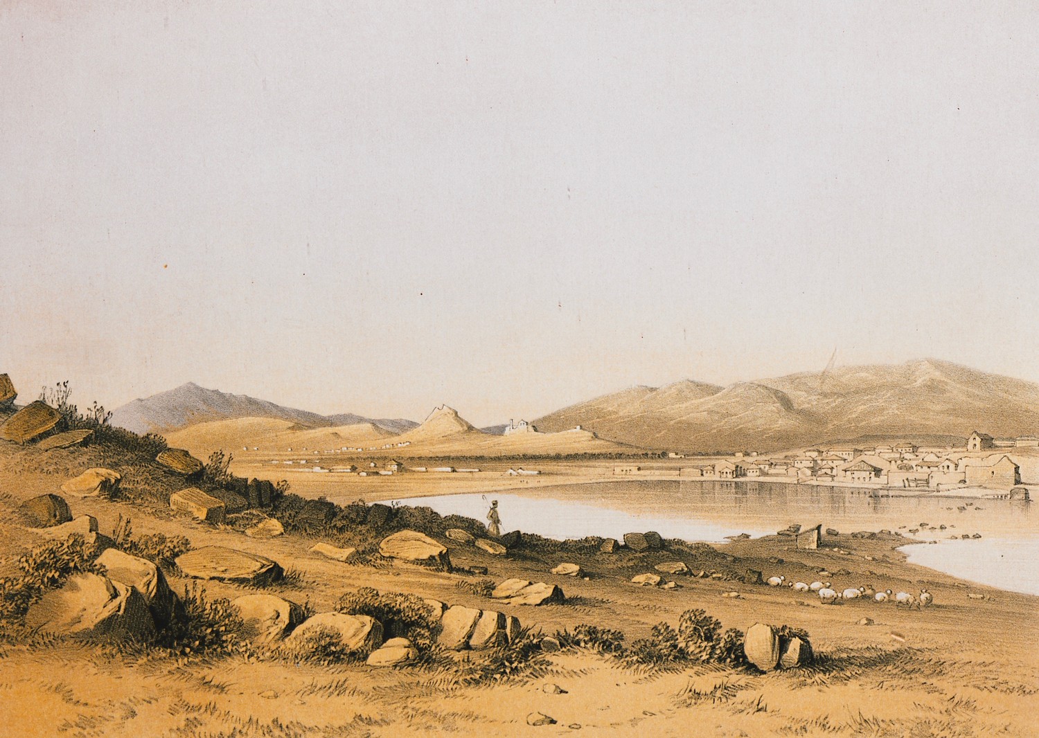
Landscape at Piraeus.
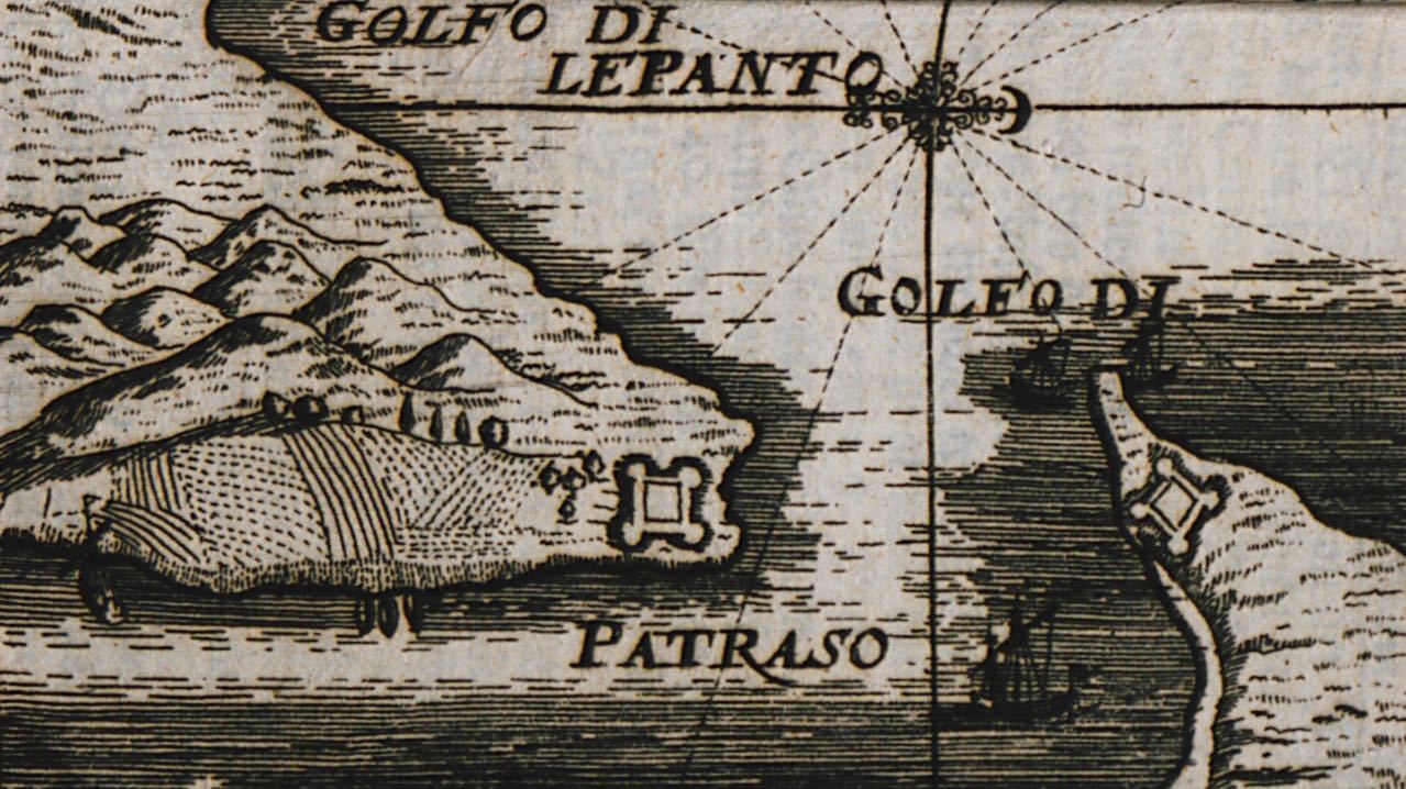
The strait of Rio and Antirrion with plans of the fortresses of Rio and Antirrion.
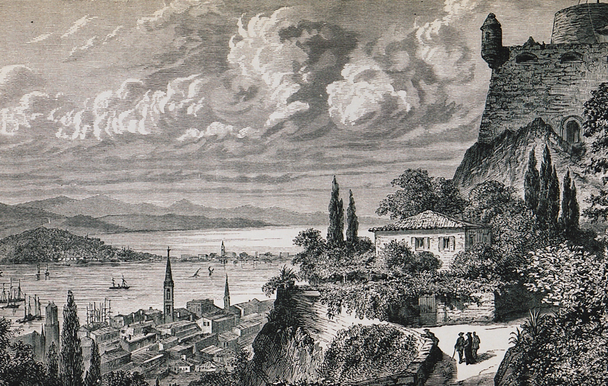
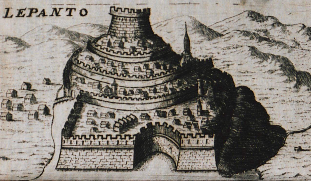
View of the castle of Naupactus.
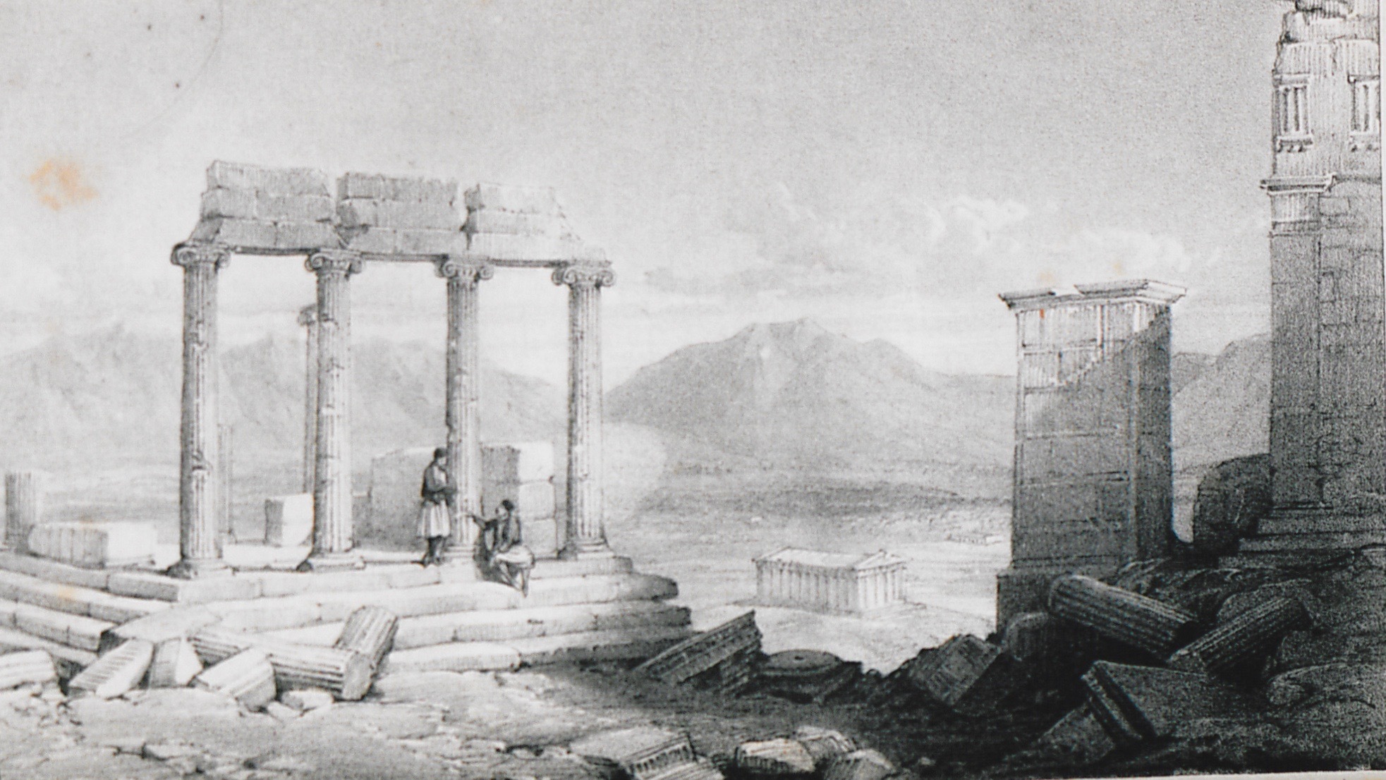
Temple of Athena Nike, Athens Acropolis.
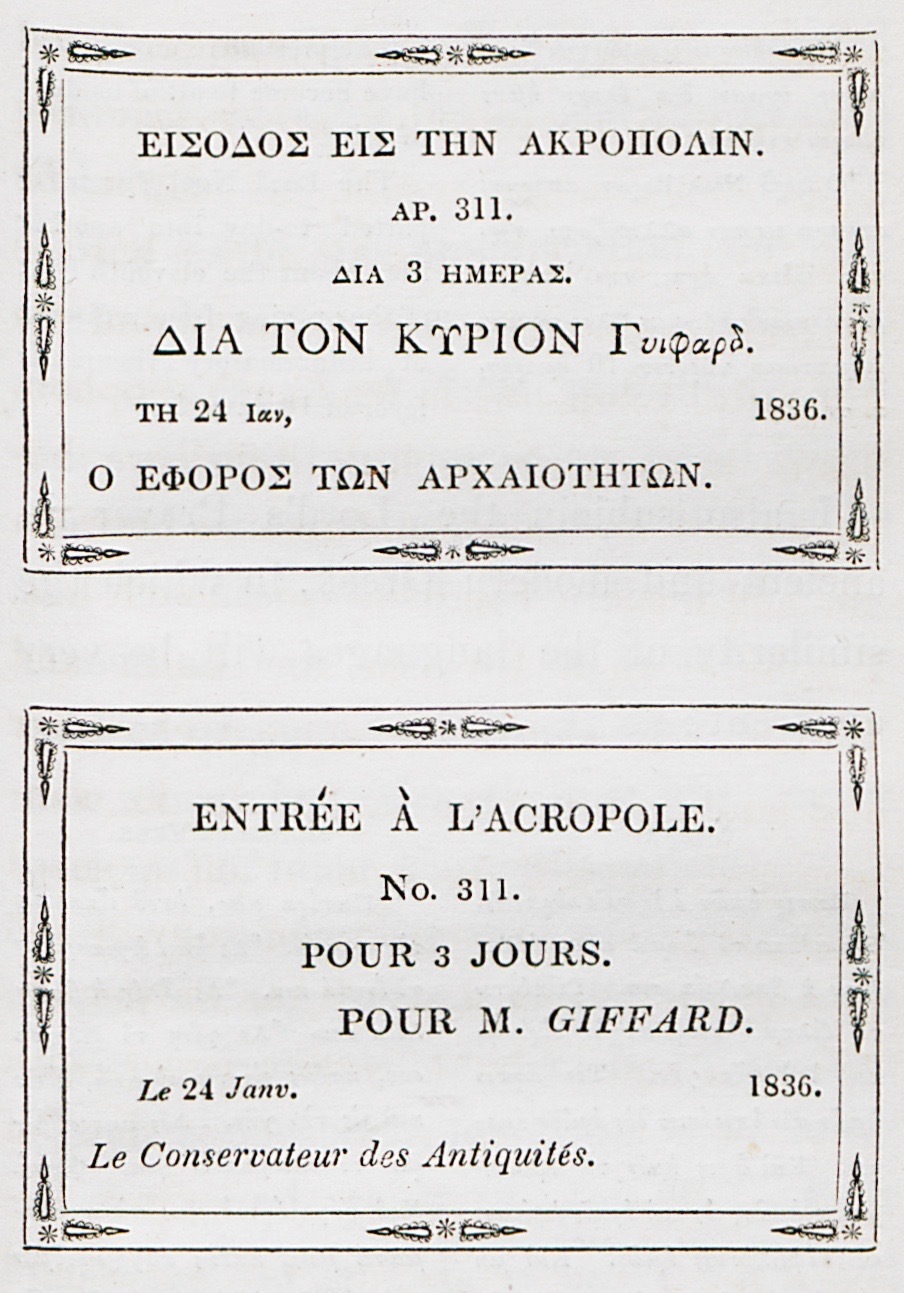
The author's entrance ticket to the Acropolis.
Landscape at Orchomenos.
Entrance to the bazaar of Athens.
Thermopylae. September 1810.
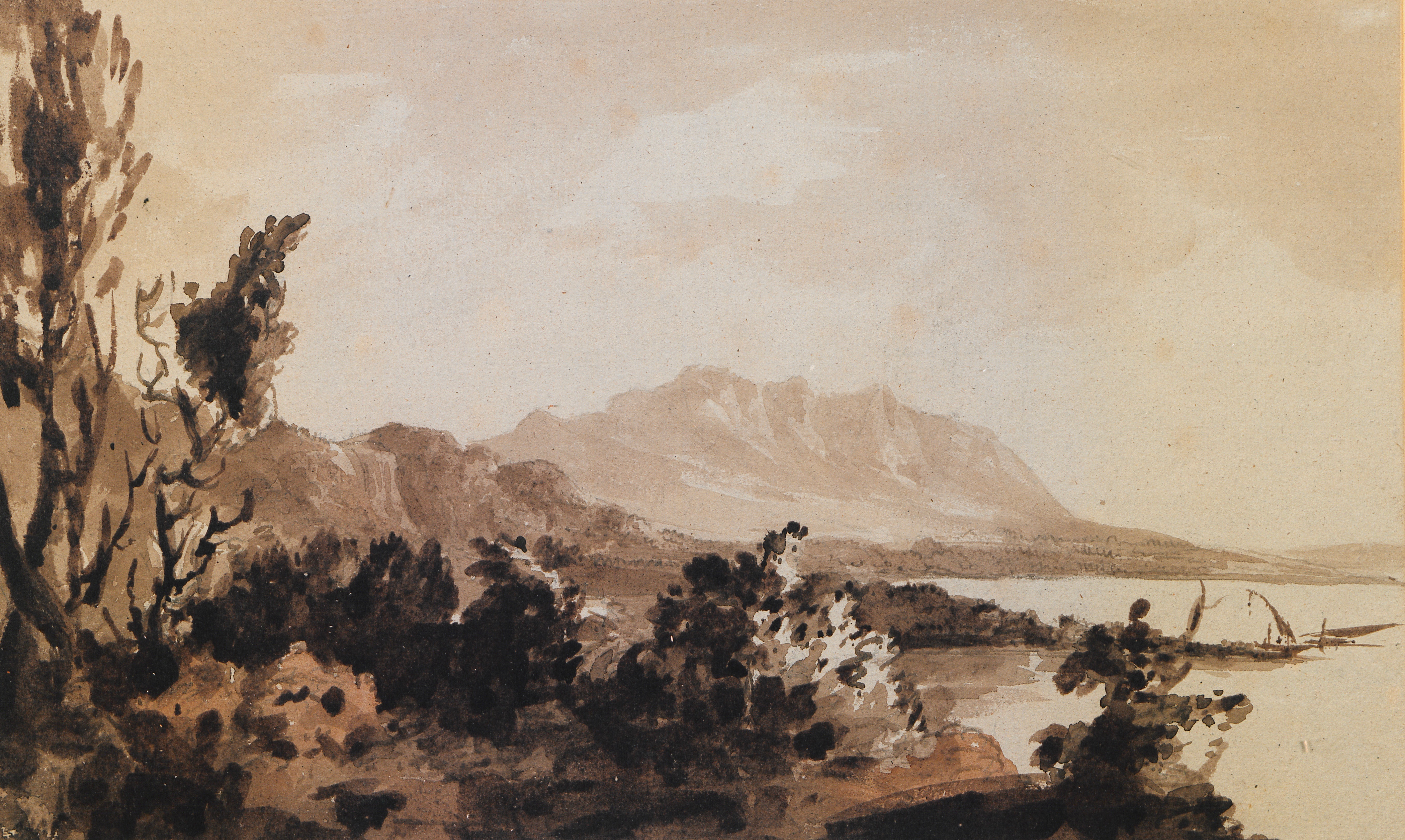
View of Thermopylae. In the background, Mount Oeta. September 1810.
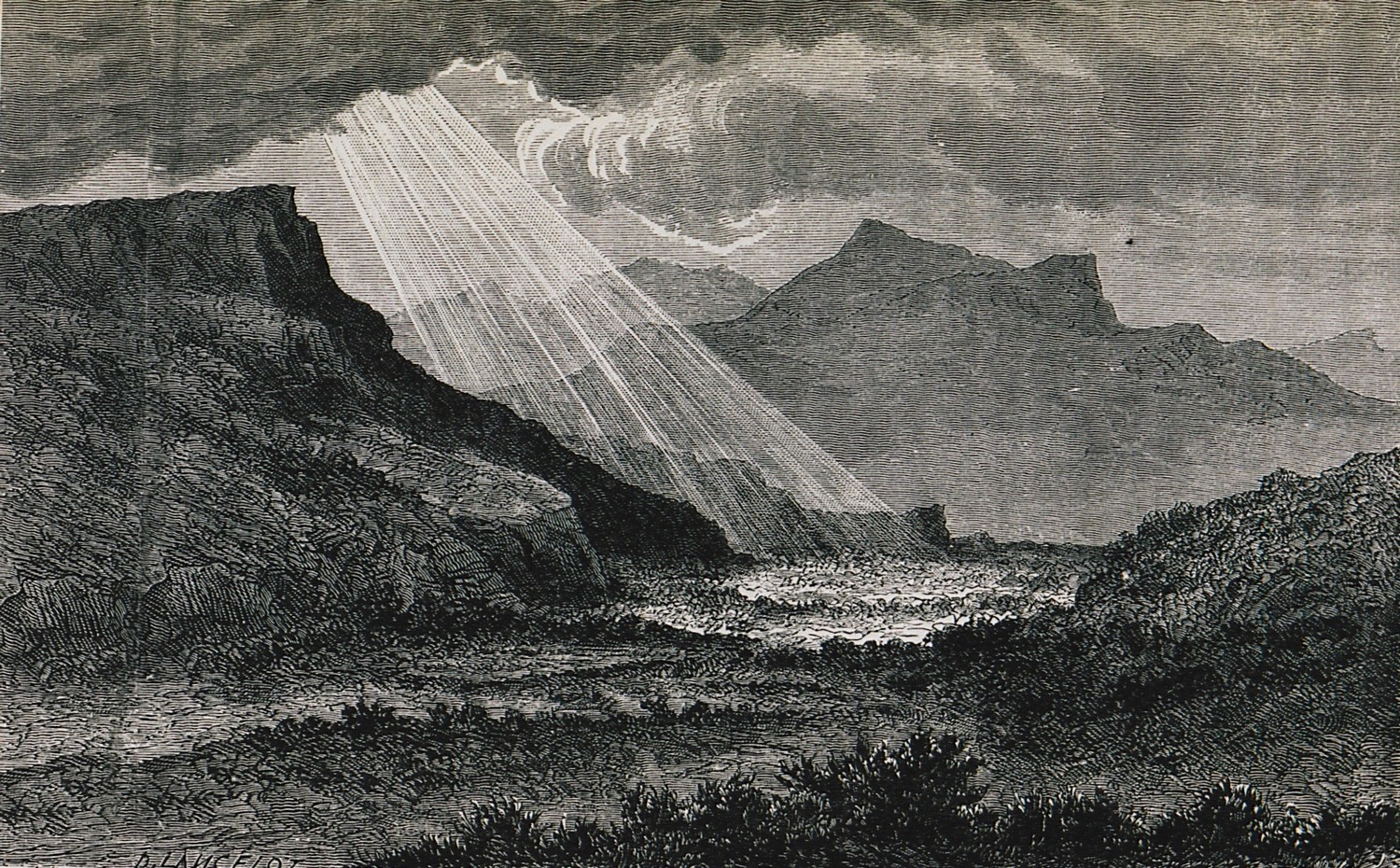
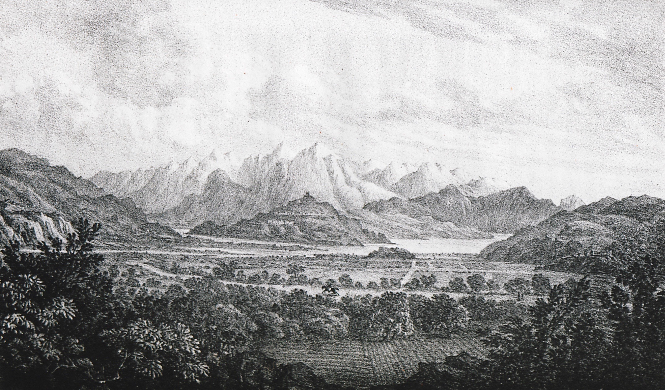
Mount Oeta and the valley of Heraclea in Trachis. September 1810.


