Islands of the Northeastern Aegean sea (242 Subjects)
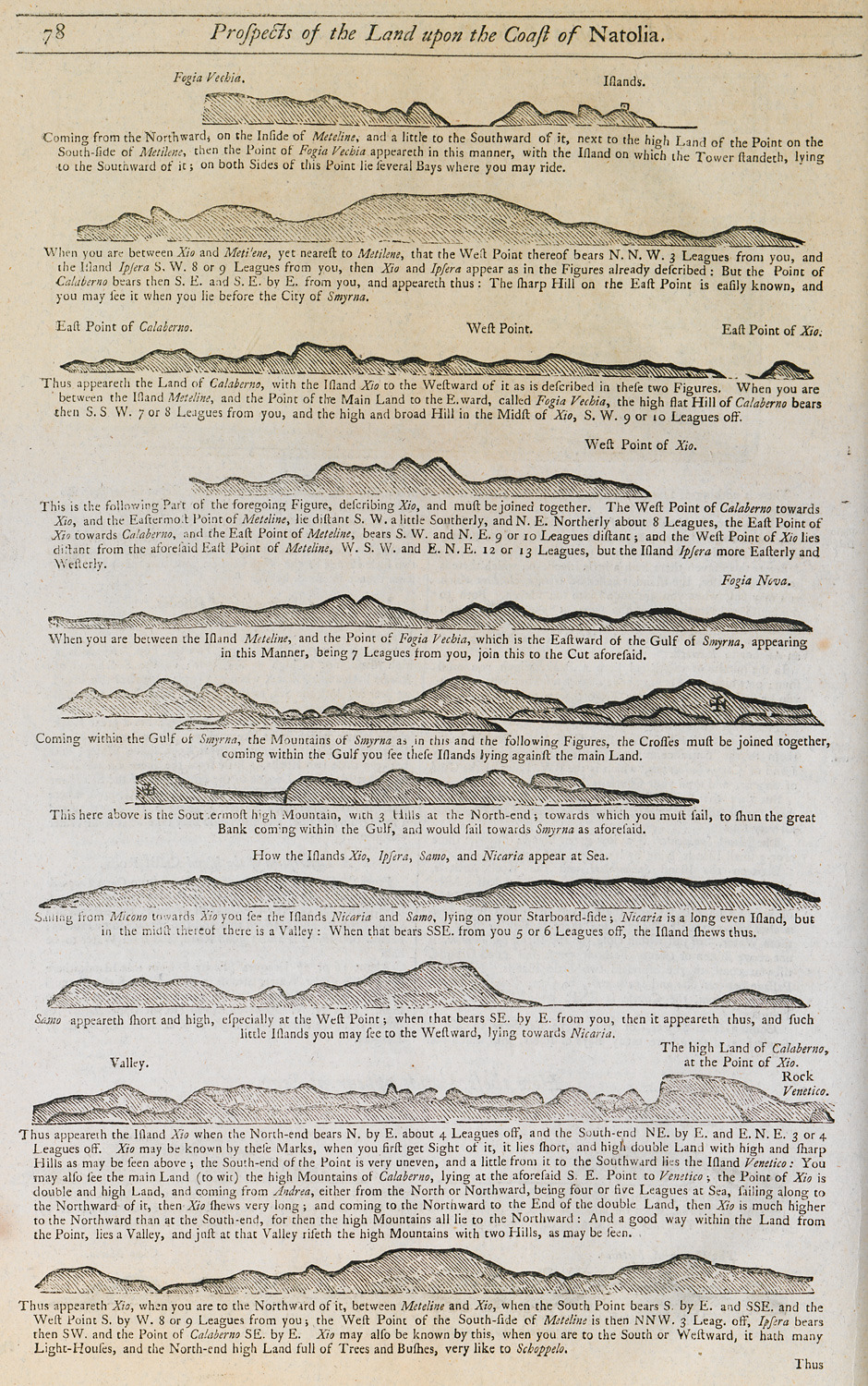
Outline of the coasts of Lesbos, Chios, Samos and Icaria islands as seen from the sea.
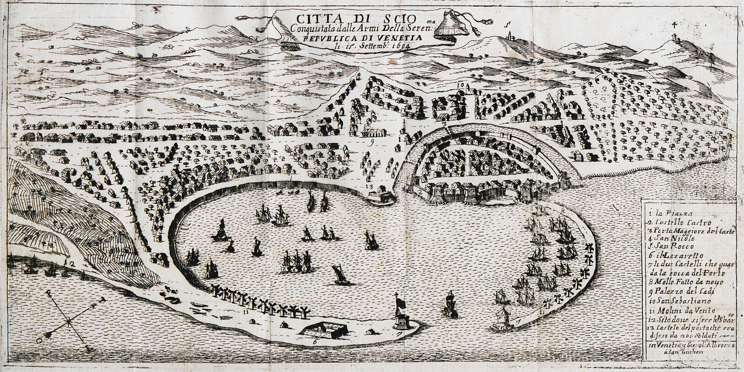
Map of the city and port of Chios.
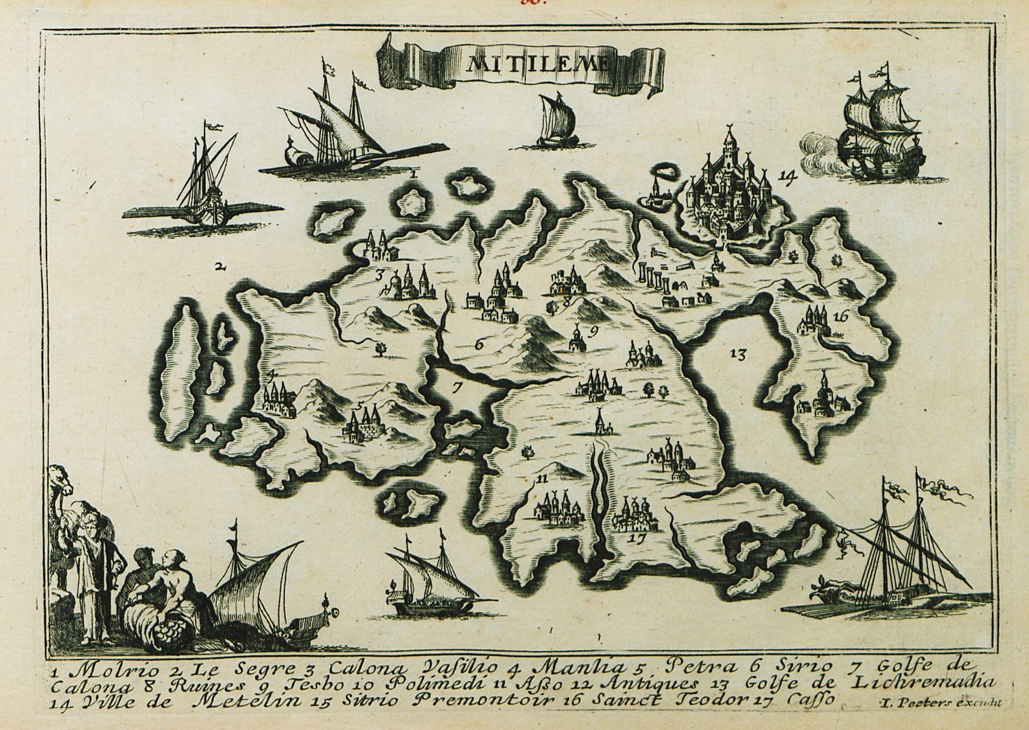
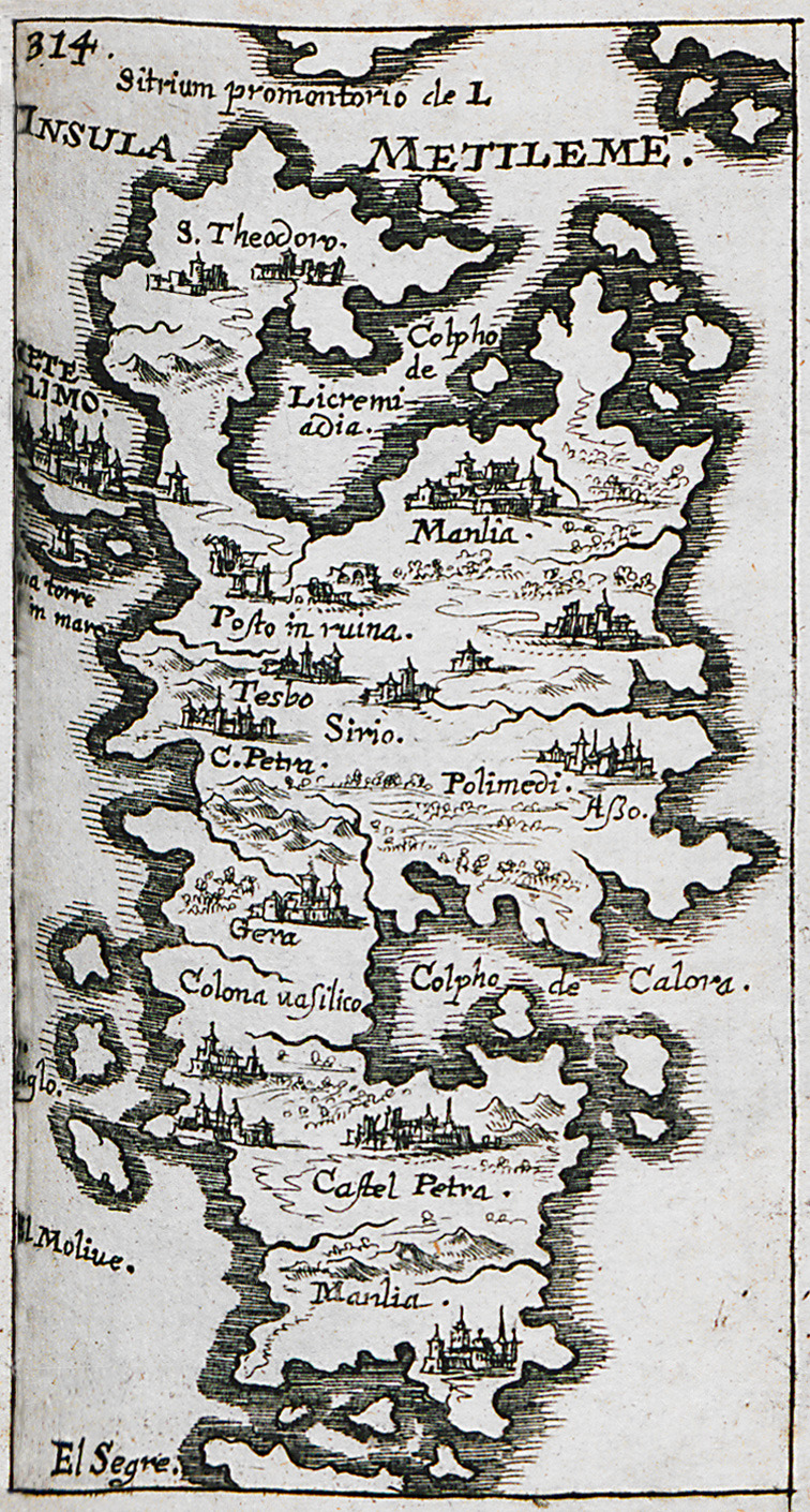
Map of Lesbos island.
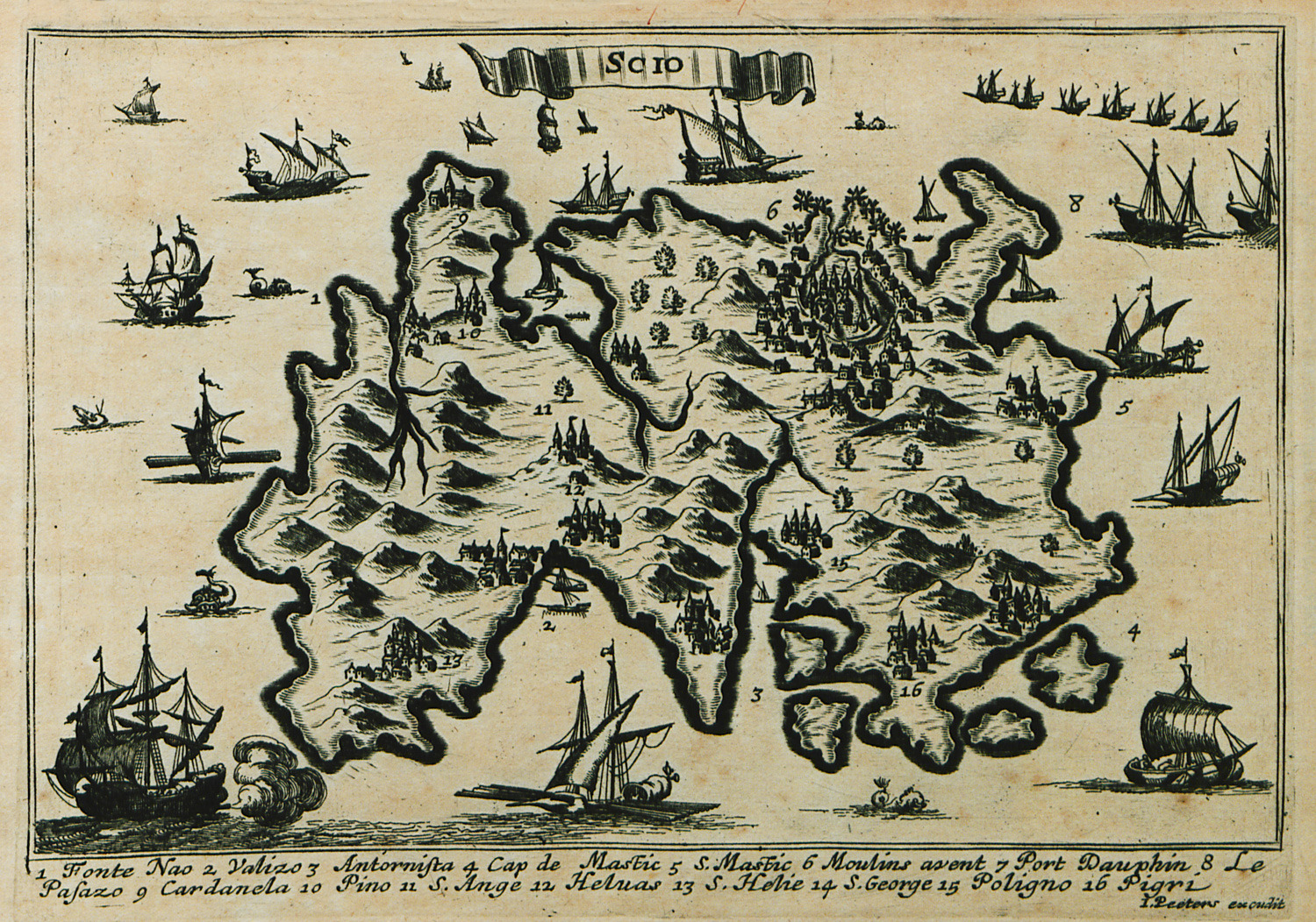
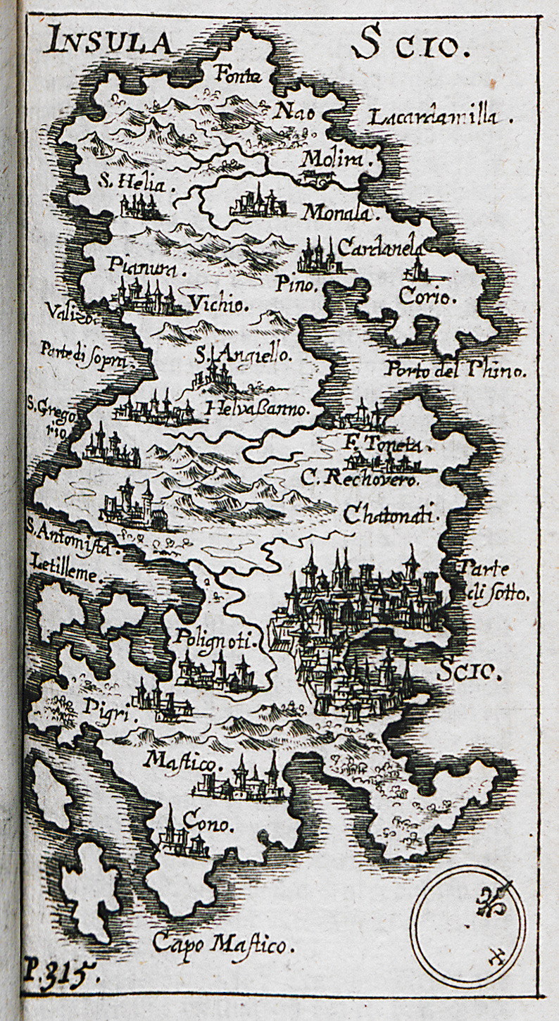
Map of Chios island.
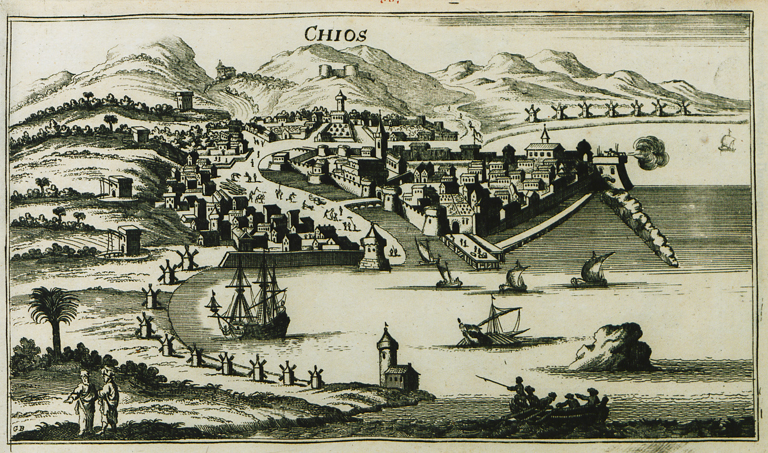
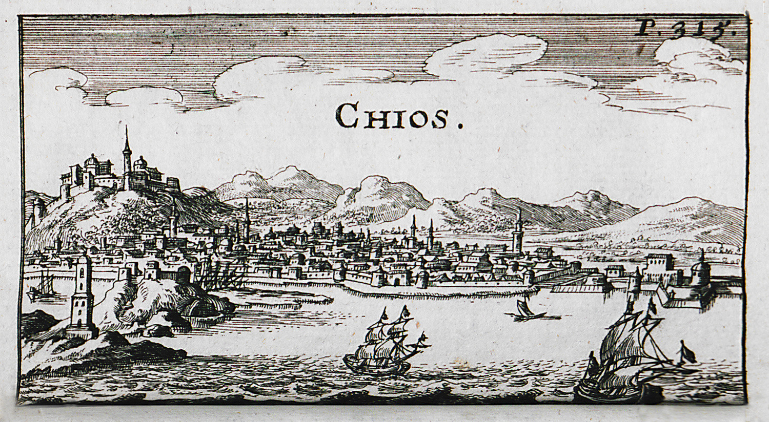
View of the town of Chios.
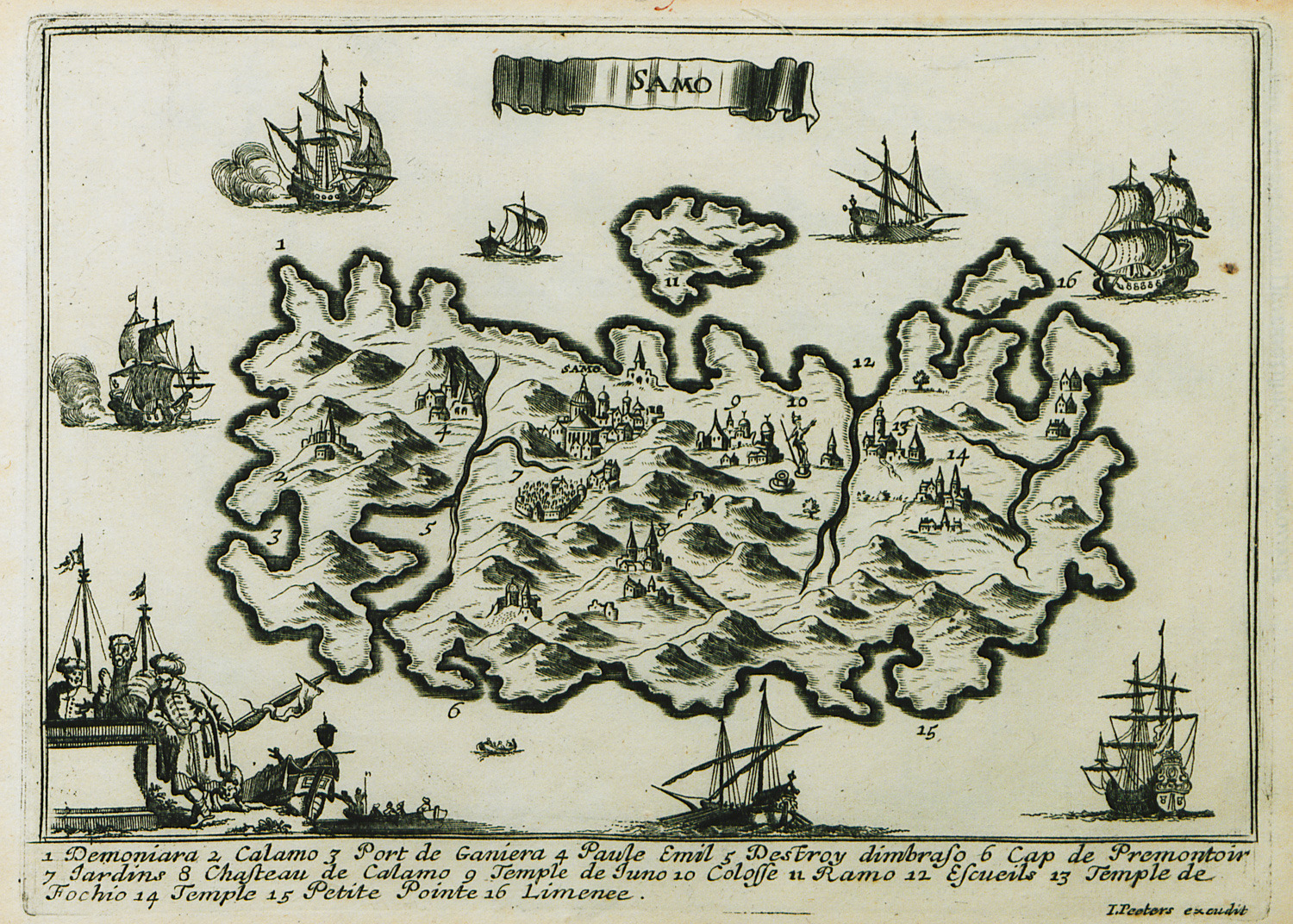
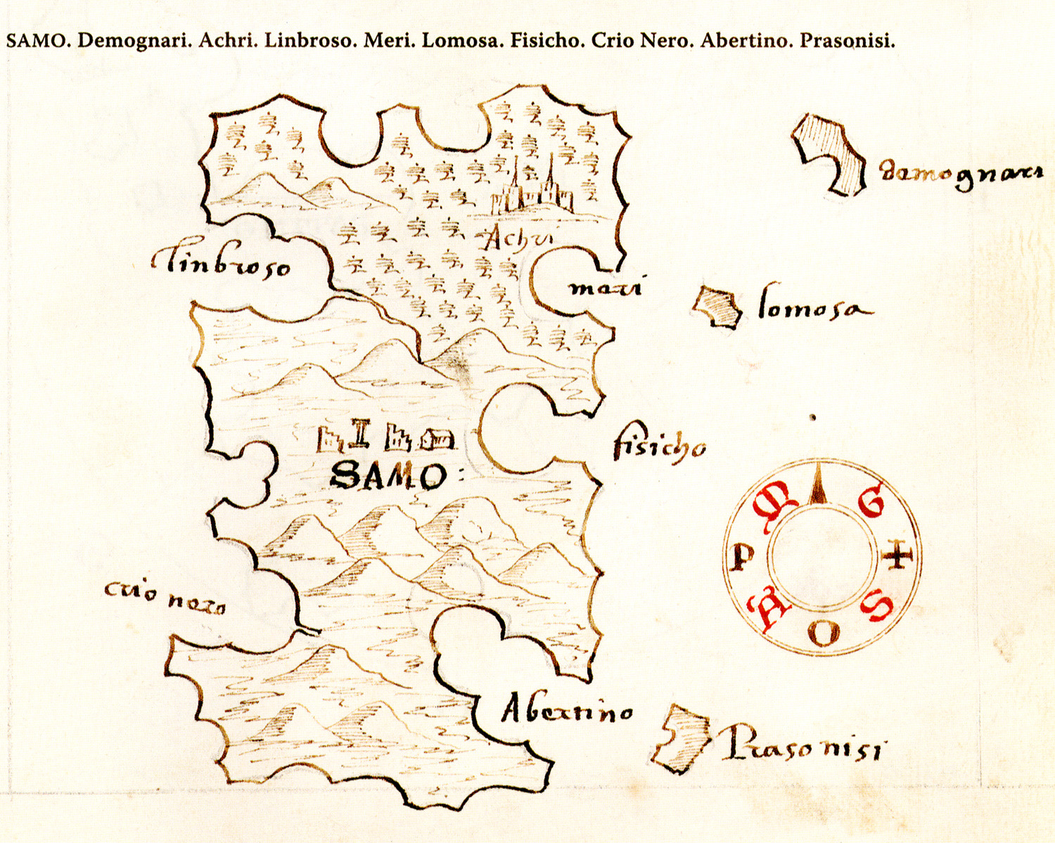
Map of Samos island.
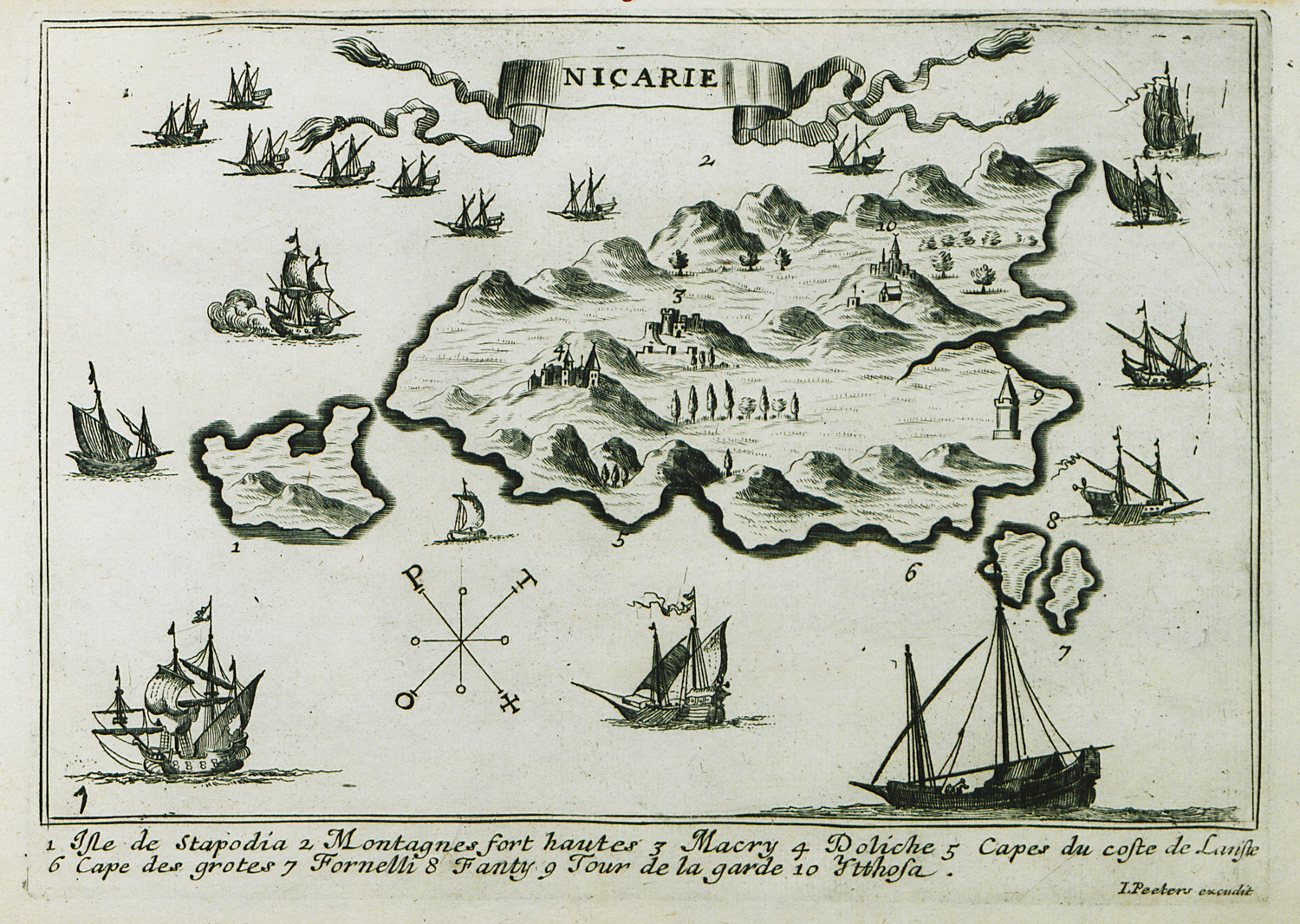
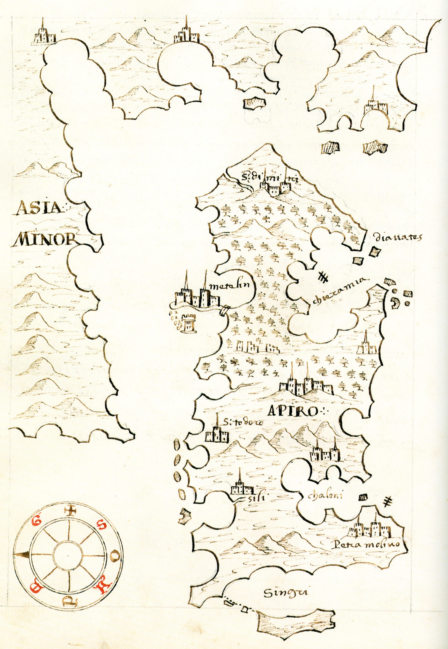
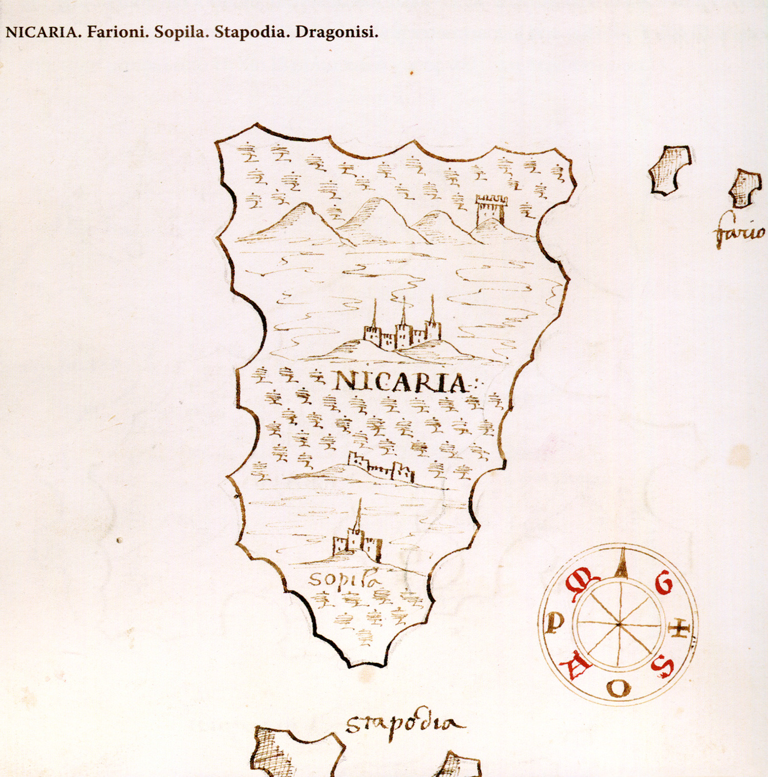
Map of Icaria island.
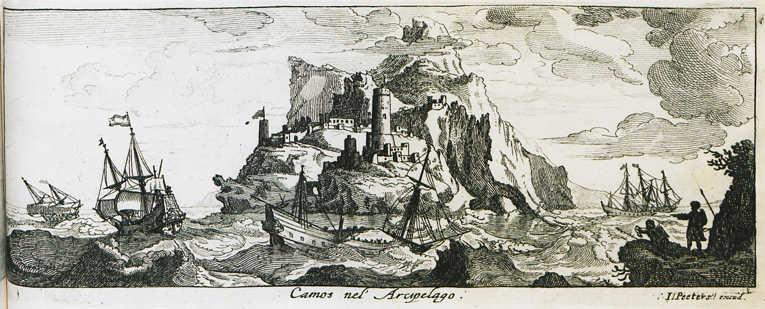
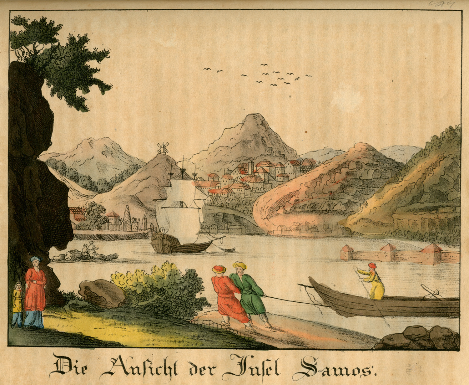
Landscape at Samos island.
Map of Lesbos island.
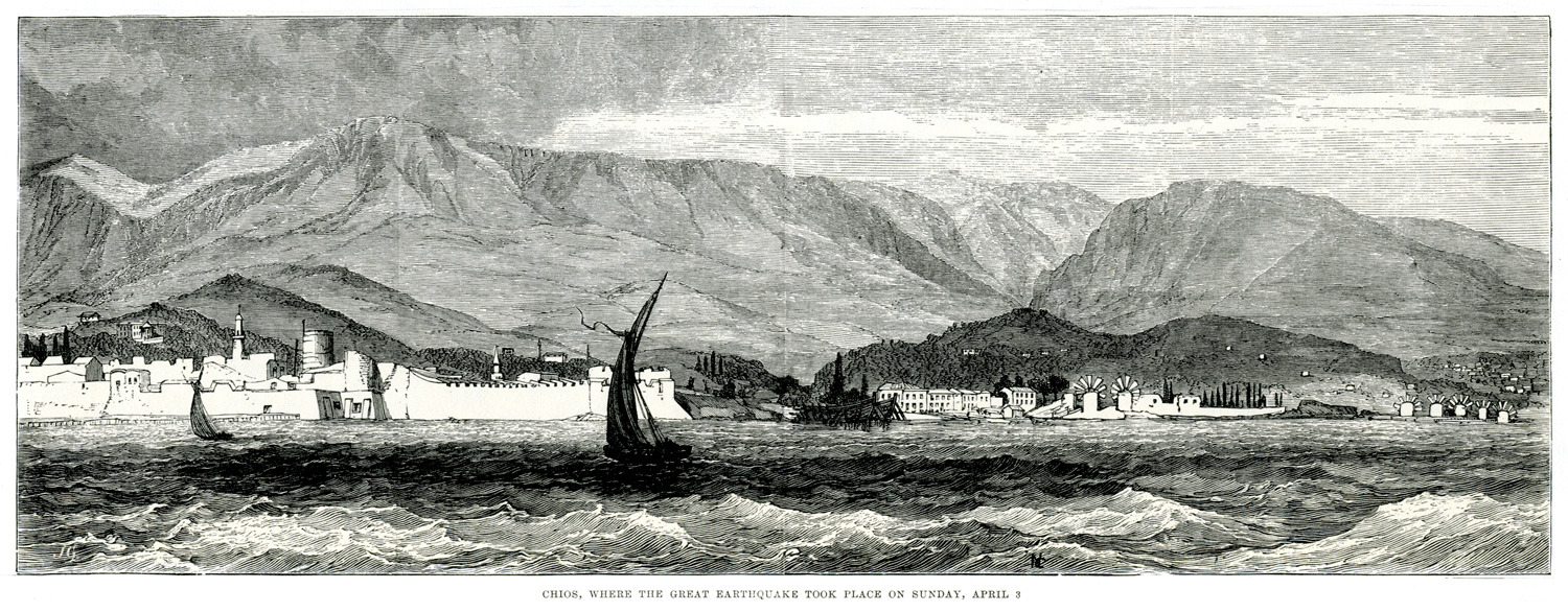
View of Chios.
Map of Chios.
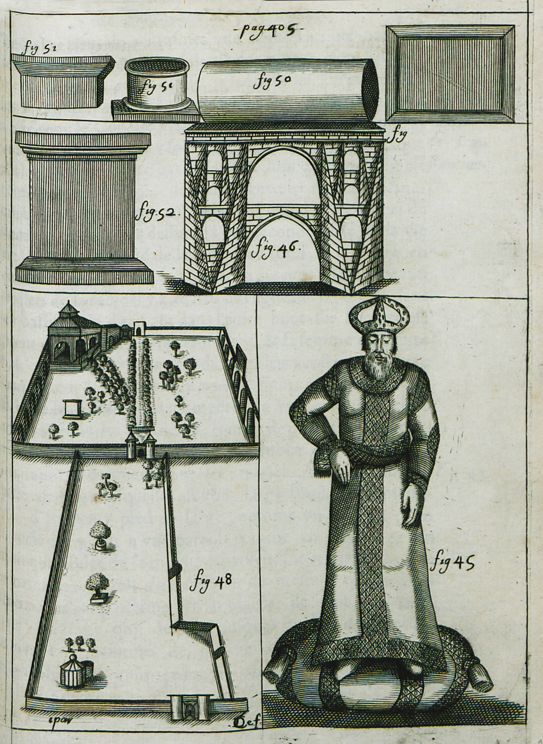
46. Ottoman aqueduct in Belgrade forest, Istanbul. 50, 51 and 52. Architectural features of the aqueduct. 48. Monastery on Chios island. 54. The Sultan.
Port of Pythagoreion, Samos.
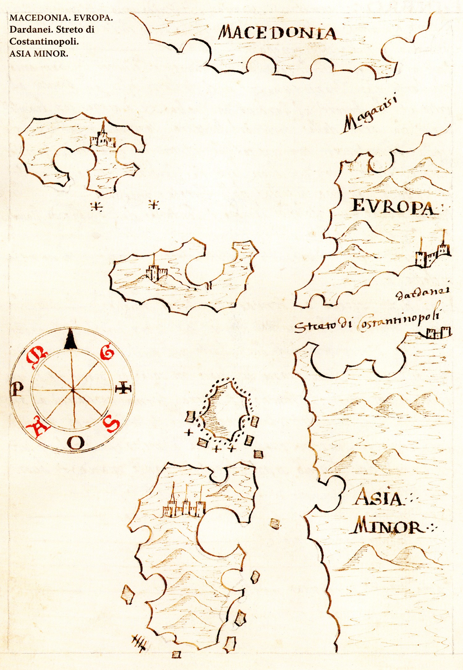
Map of the Dardanelles, together with Lesbos, Tenedos, Imbros and Thasos islands.
Map of Chios island.
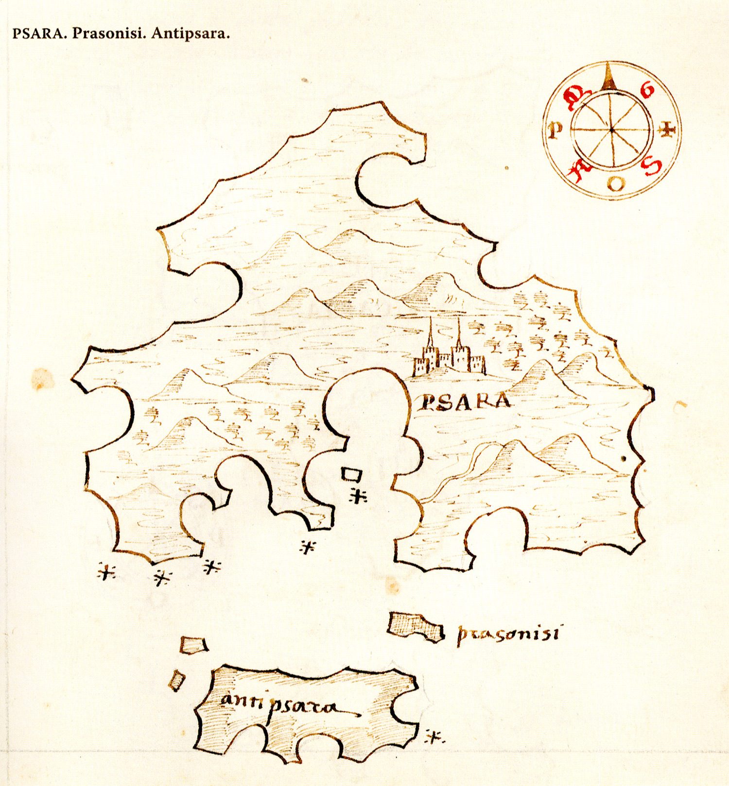
Map of Psara island.
Map of Icaria island.
Map of Samos island.
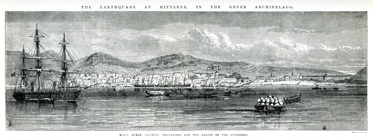
H.M.S. “Ocean” brings provisions to the sufferers of the 1867 earthquake that hit Lesbos island.
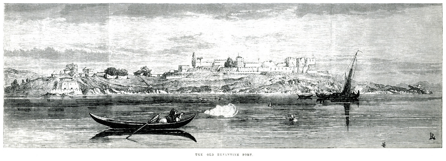
The castle of Mytilene, Lesbos, 1867.
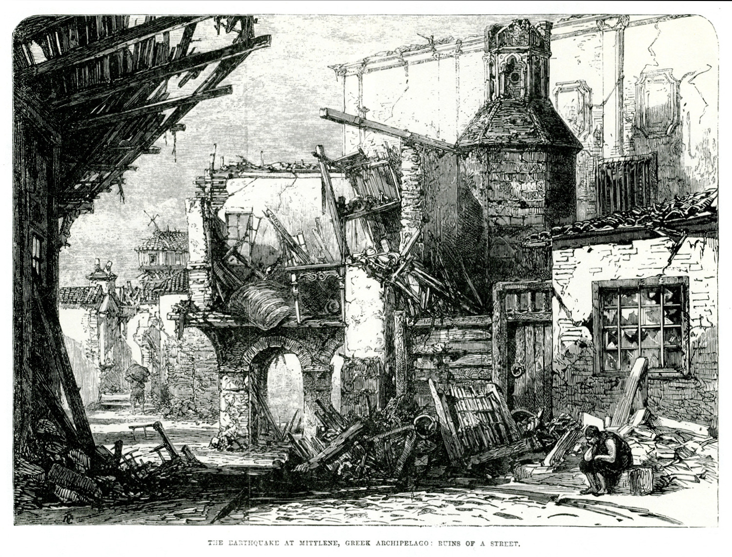
Street at the town of Mytilene after the 1867 earthquake.
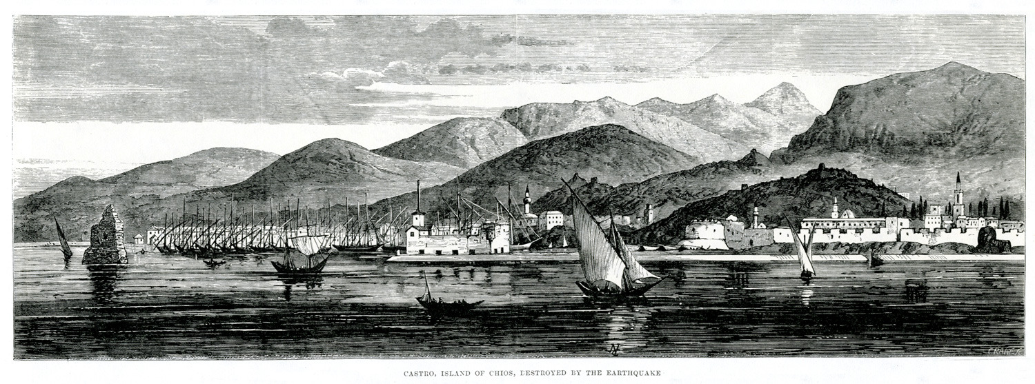
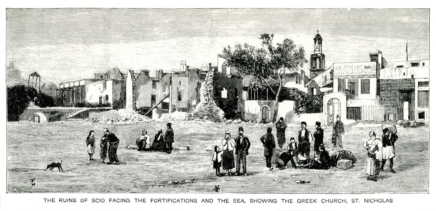
The castle of Chios after the devastating earthquake of 1881.
The castle of Chios after the devastating earthquake of 1881.
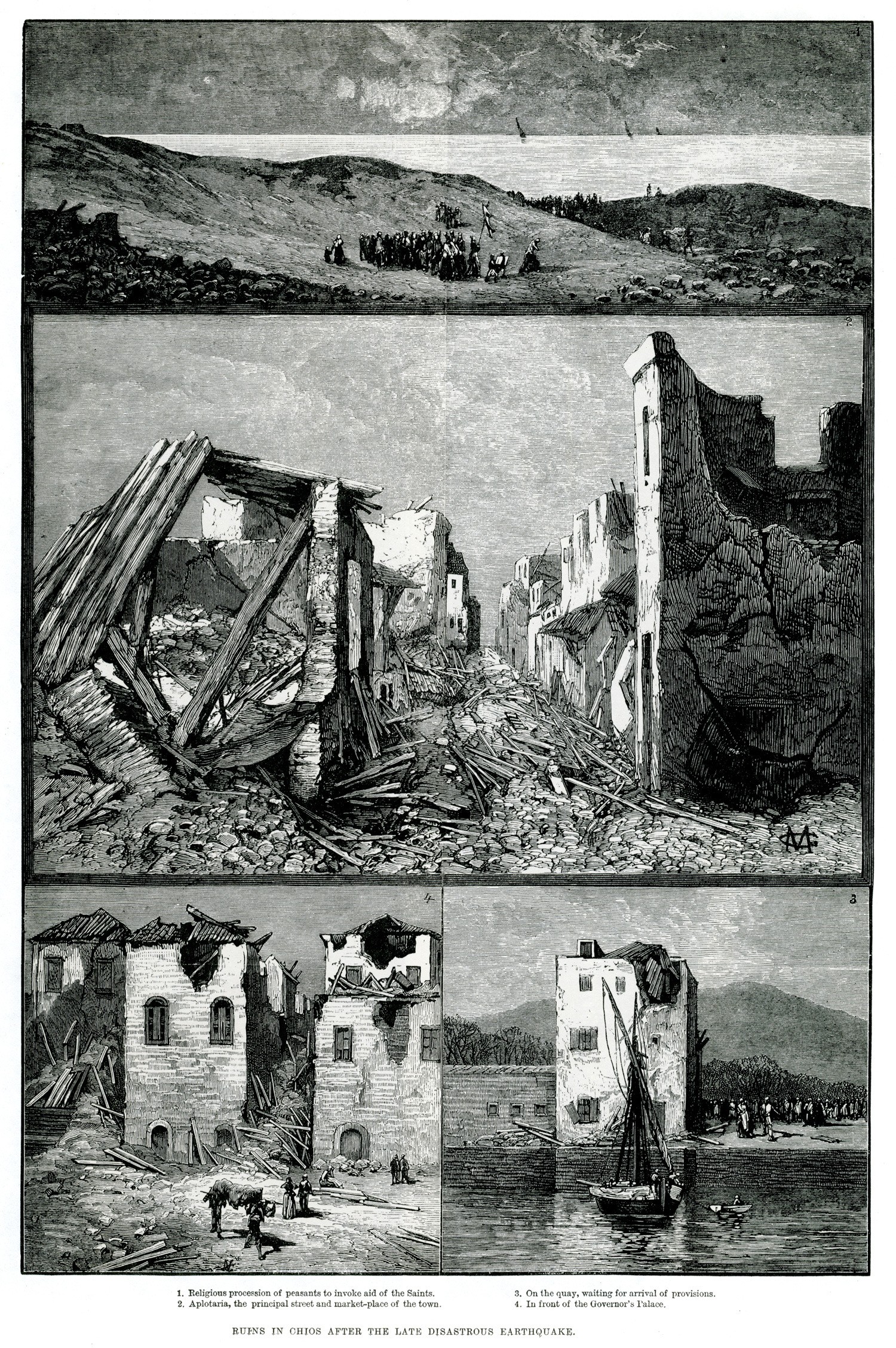
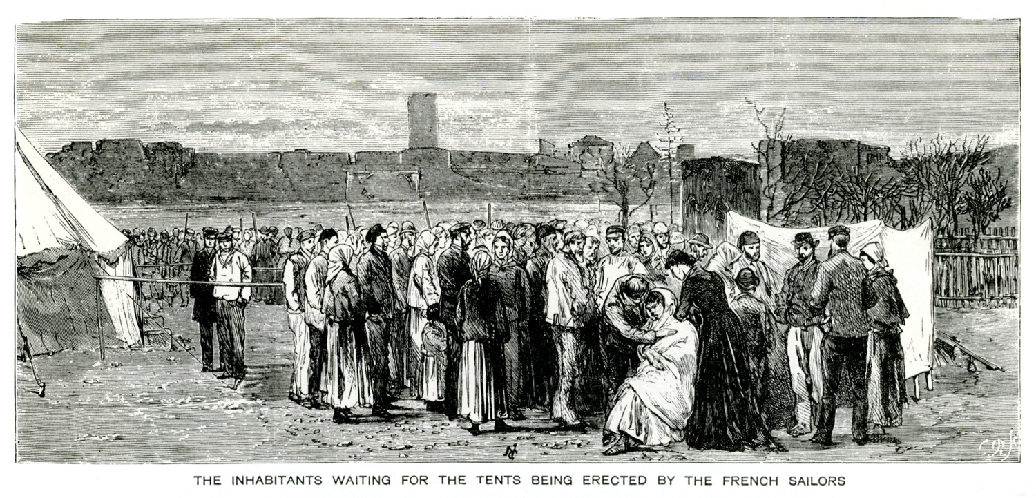
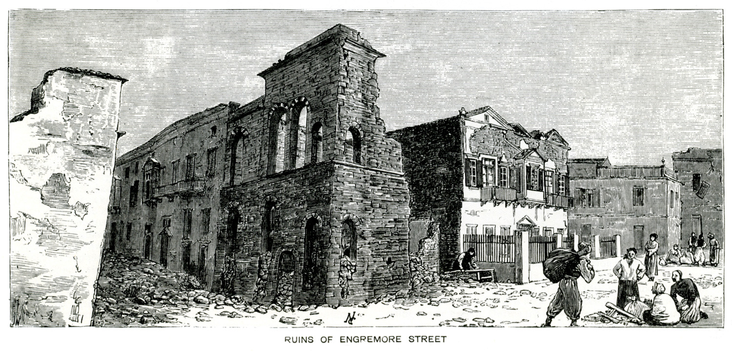
Snapshots of the days after the devastating earthquake of Chios in April 1881: 1. Procession 2. Ruins of houses at Aplotaria, main street of the town of Chios. 3. Residents of Chios awaiting the arrival of provisions. 4. Ruins before the Governor's palace.
The British fleet entering the harbour of Gera, Lesbos.
The church of Hagios Therapon at Mytilene, before it took its definitive form.
Residents of the town of Chios watch as members of the French Navy set up tents for the population after the devastating earthquake of 1881.
The castle of Chios with the church of Saint Nicholas (at Molos) after the devastating earthquake of 1881.
Panoramic view of the castle and city of Chios.
Ruins at the castle of Chios after the devastating earthquake of 1881.


