Corinthian gulf (25 Subjects)
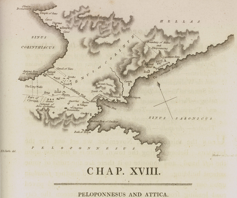
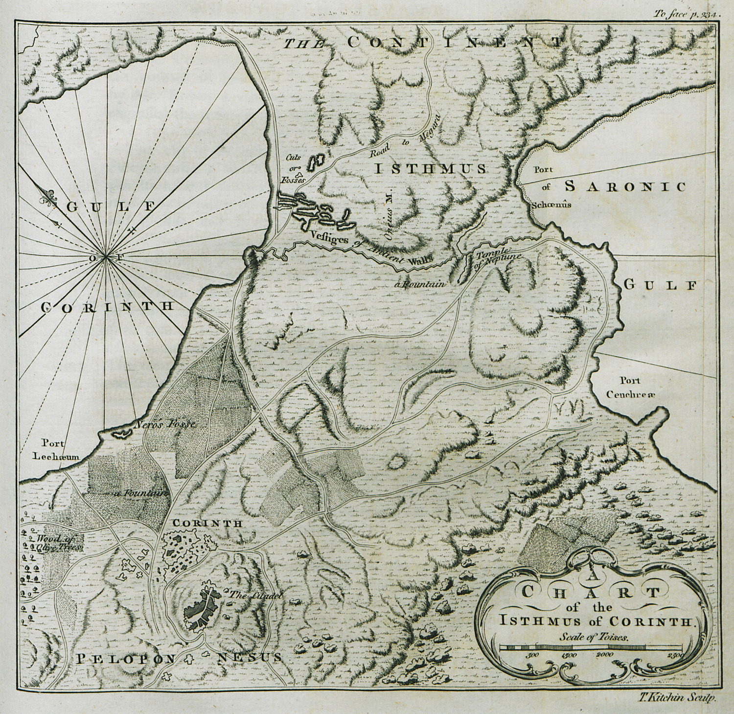
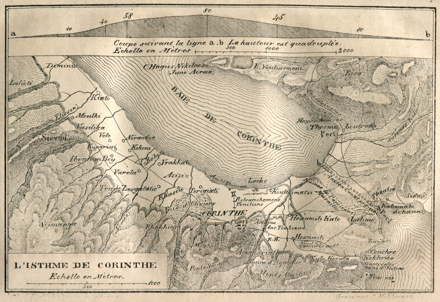
Map of the Isthmus of Corinth.
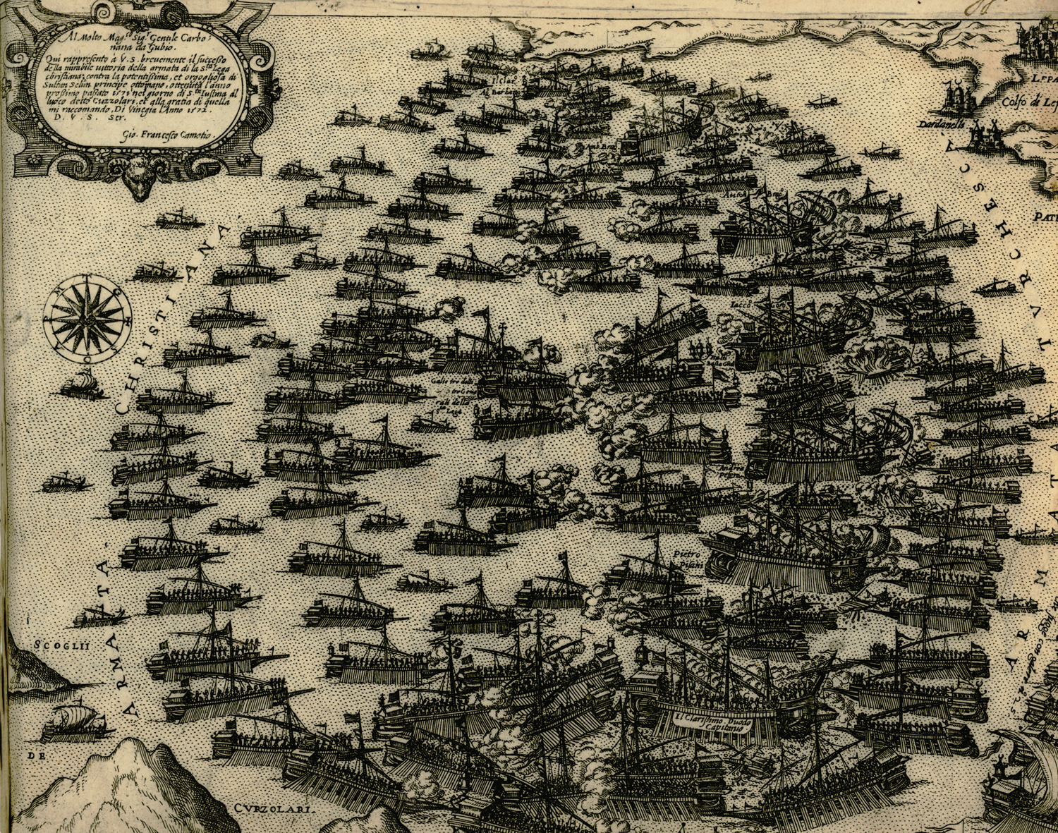
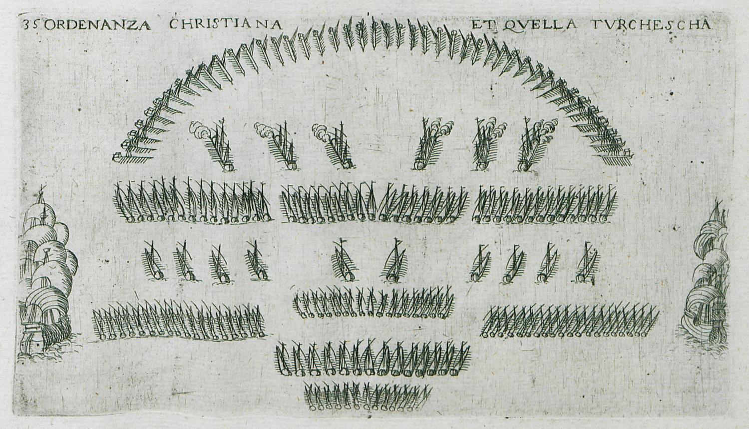
The Ottoman and the Venetian fleet during the Battle of Lepanto in 1571.
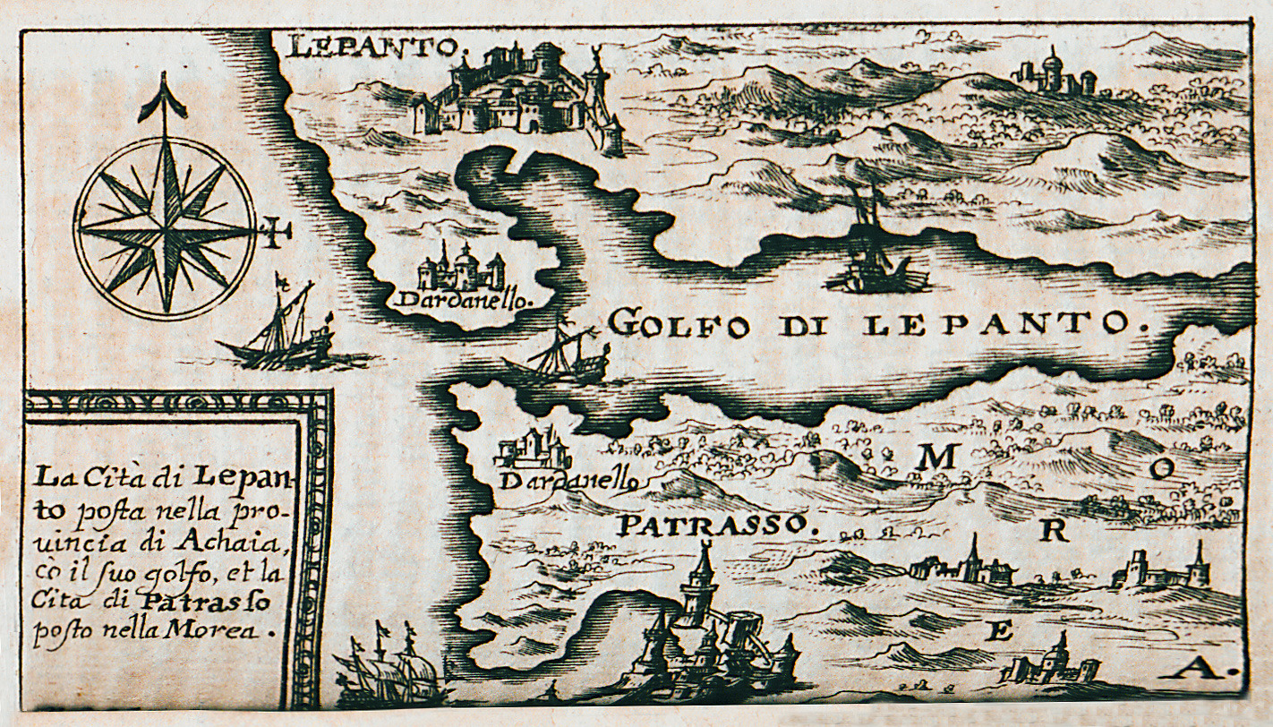
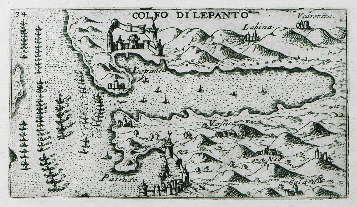
Map of the western part of the Corinthian Gulf and the Gulf of Patras.
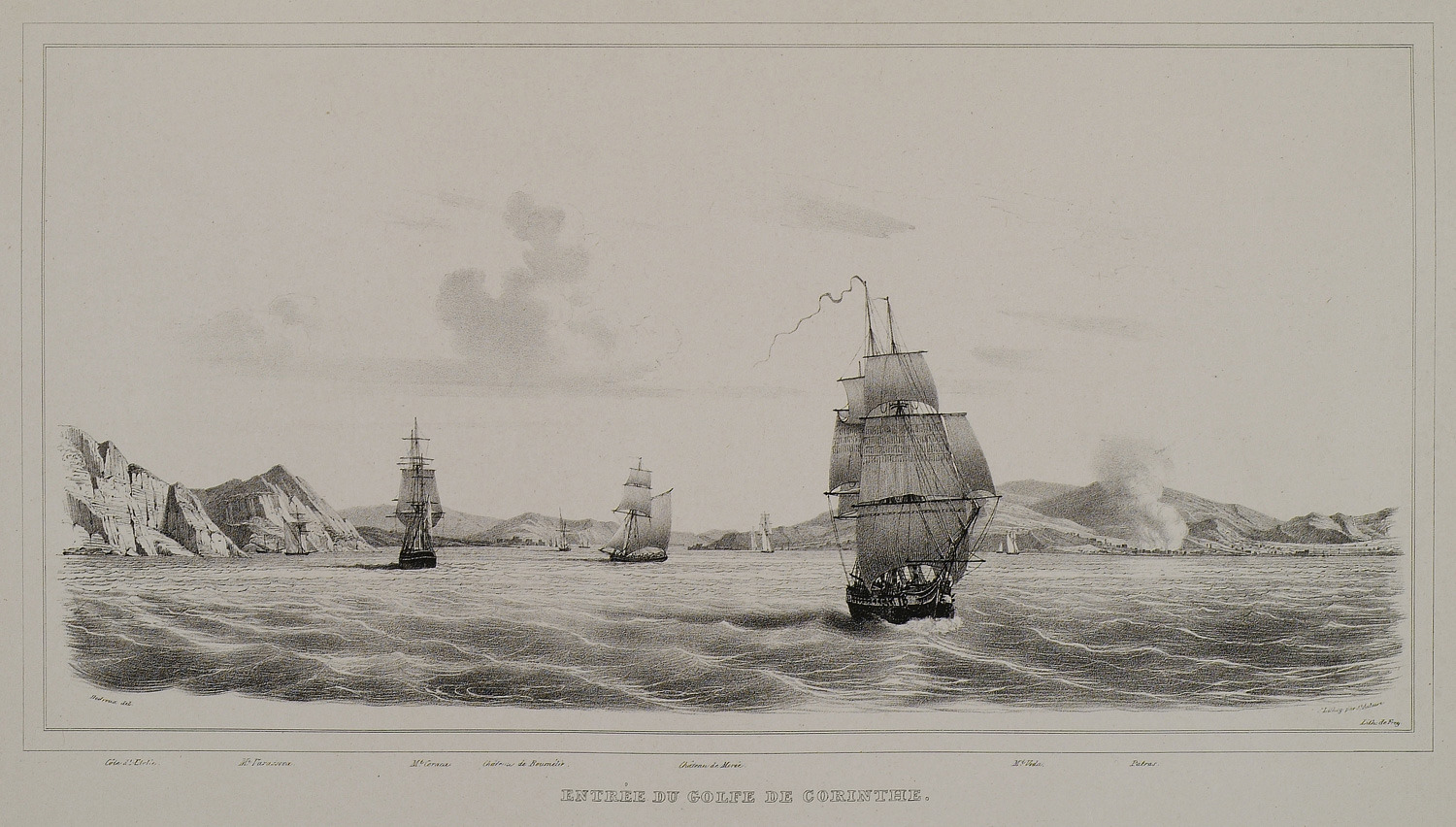
The entrance to the Corinthian gulf.
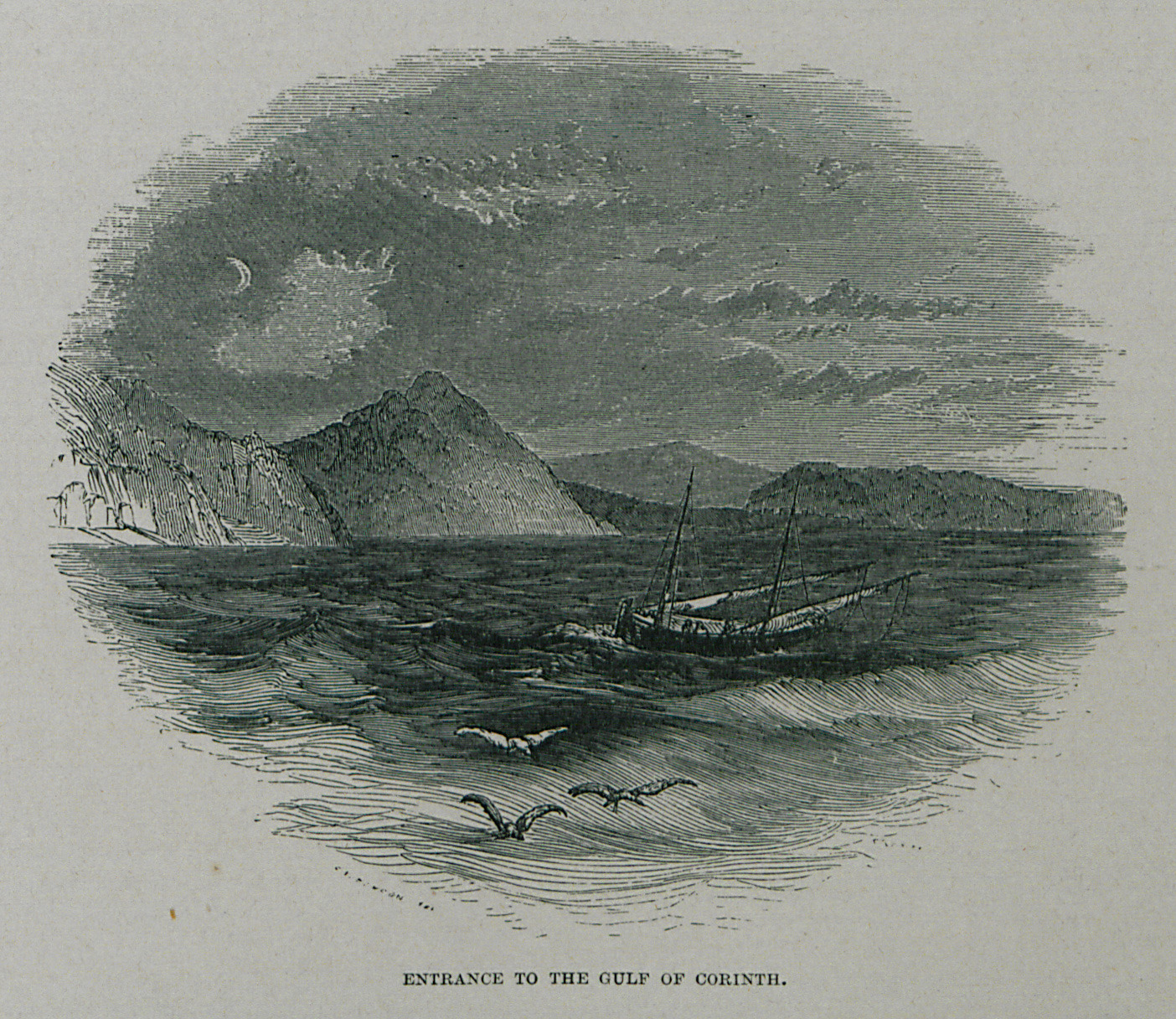
Entrance to the Gulf of Corinth.
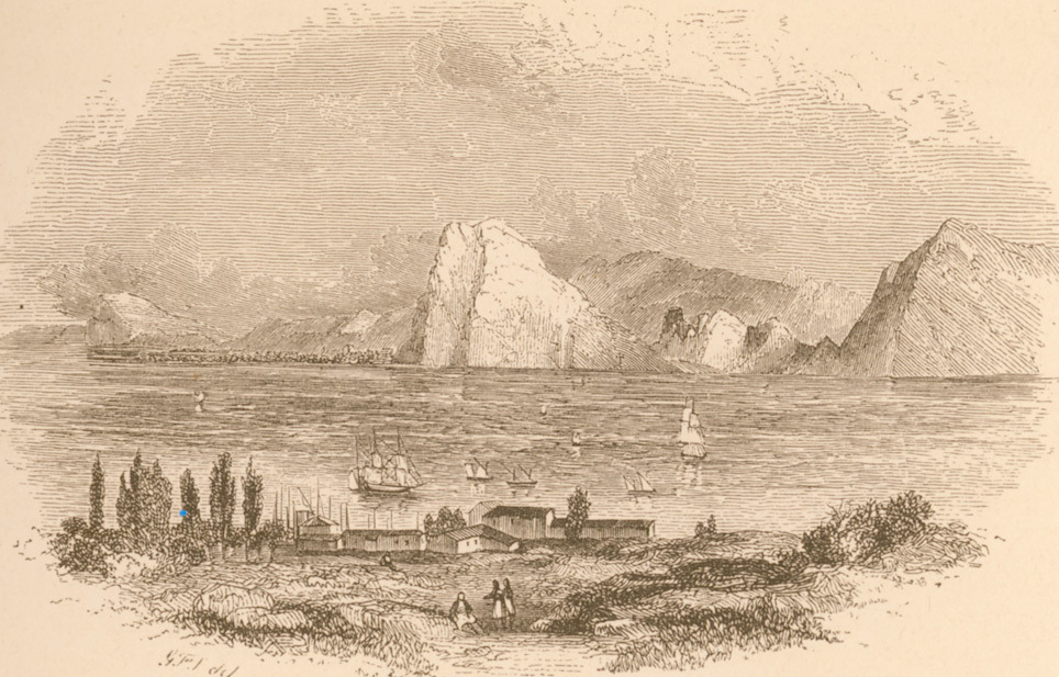
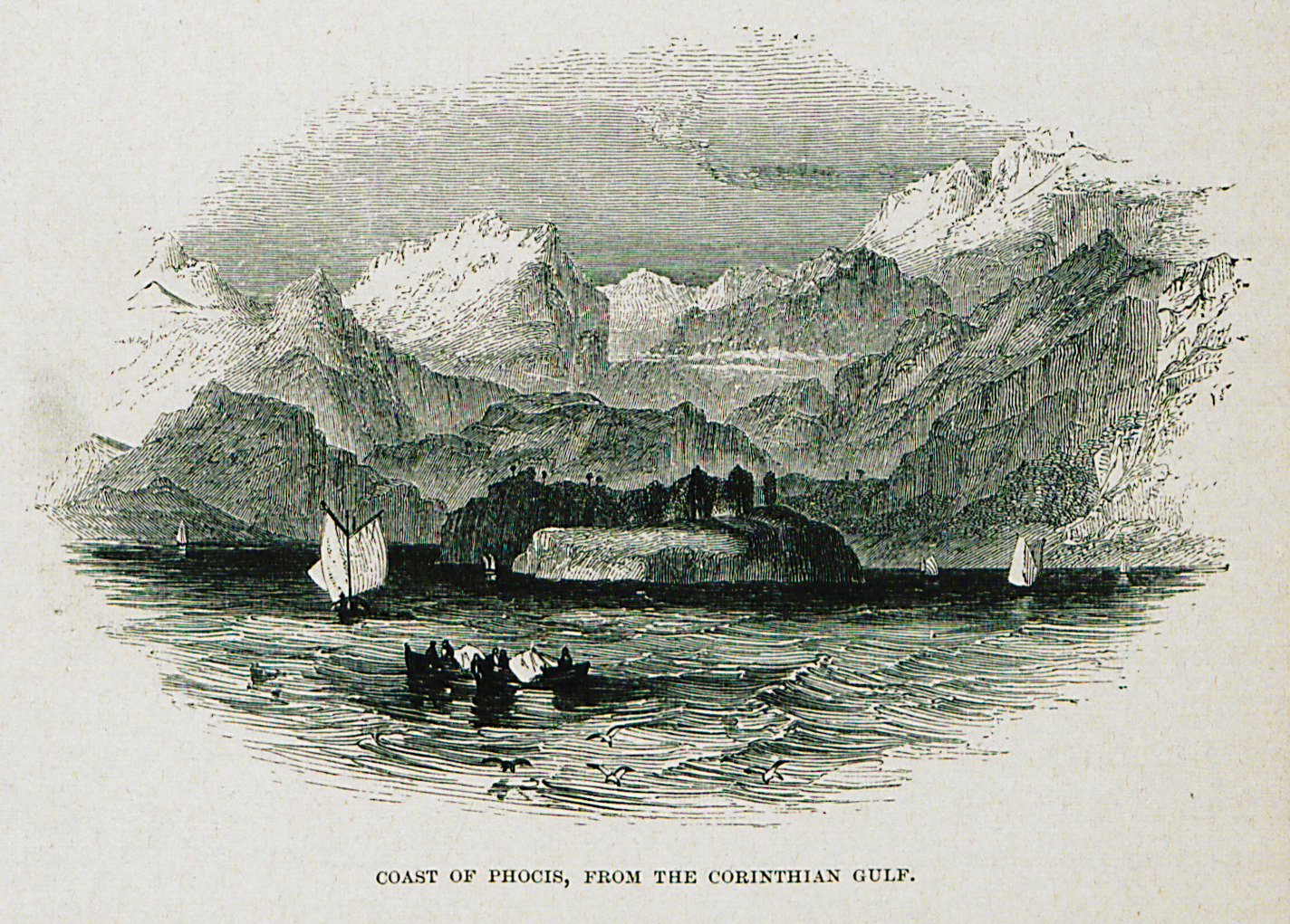
Coast of Phocis, from the Corinthian Gulf.
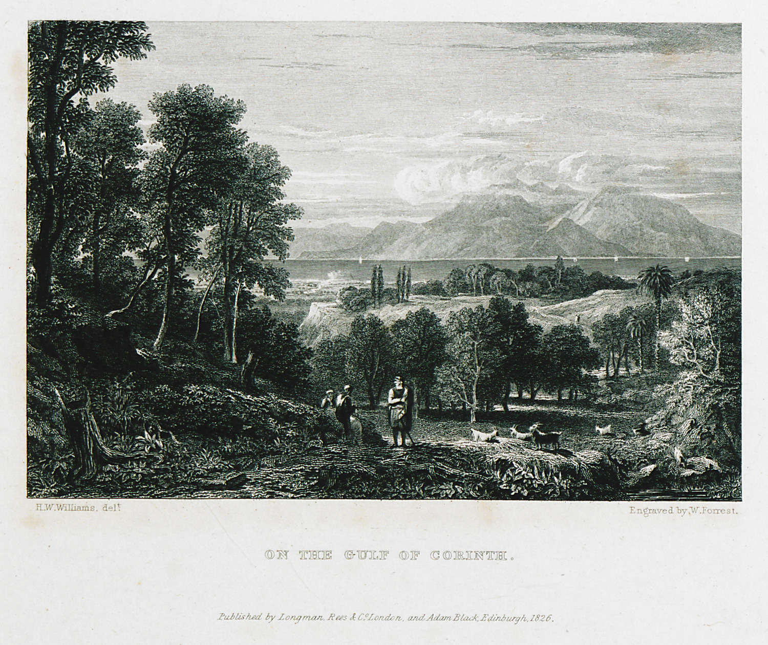
On the Gulf of Corinth.
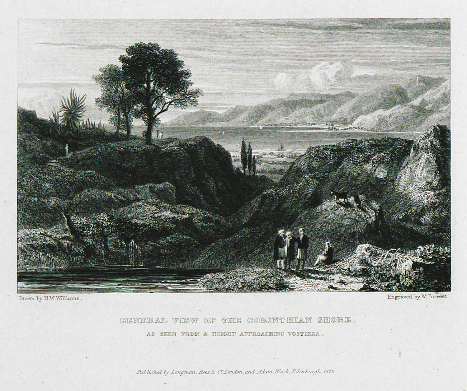
General view of the Corinthian shore. As seen from a height approaching Vostizza.
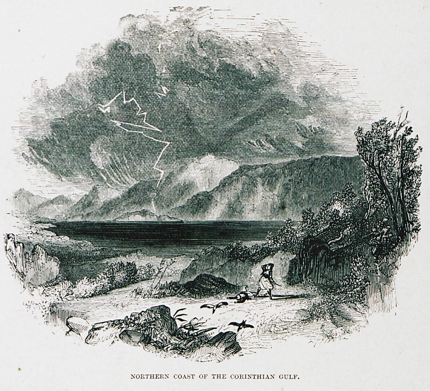
Landscape on the northern coast of the Corinthian gulf.
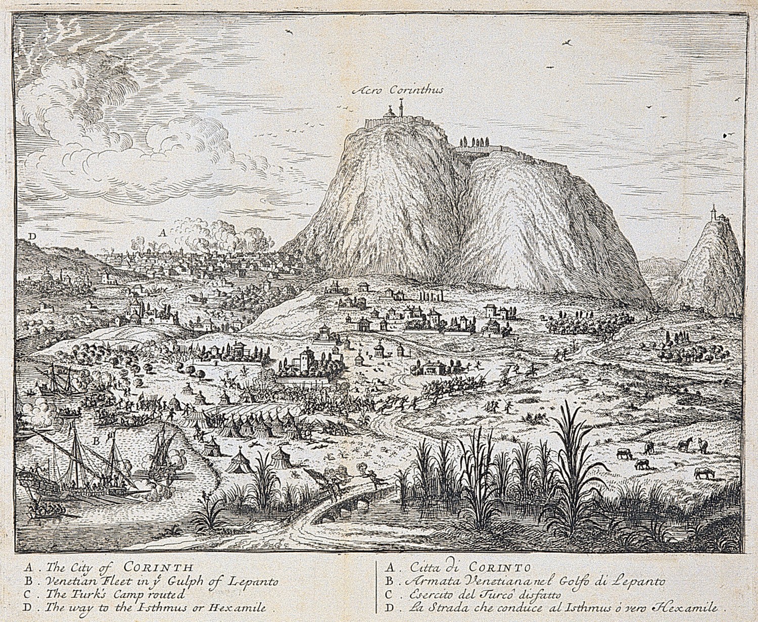
View of Corinth, the Isthmus of Corinth and Acrocorinth. In the foreground the Venetian fleet sailing the Corinthian Gulf.
Map of the Isthmus of Corinth.
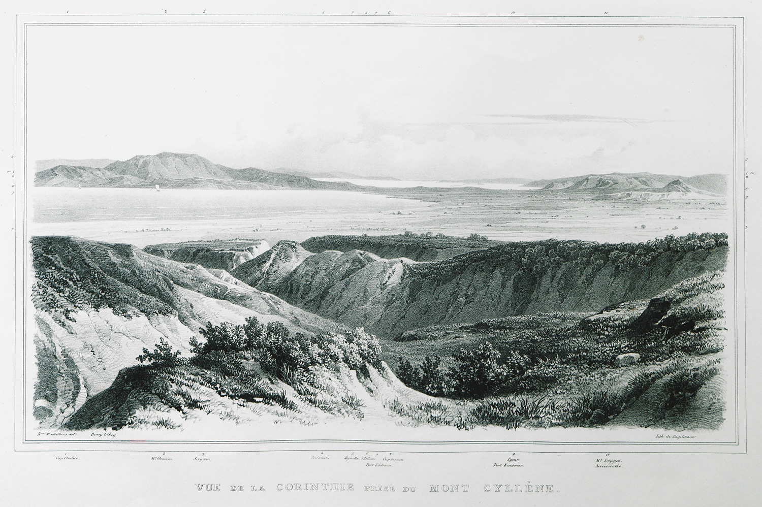
View of the Gulf of Corinth from Mount Cyllene.
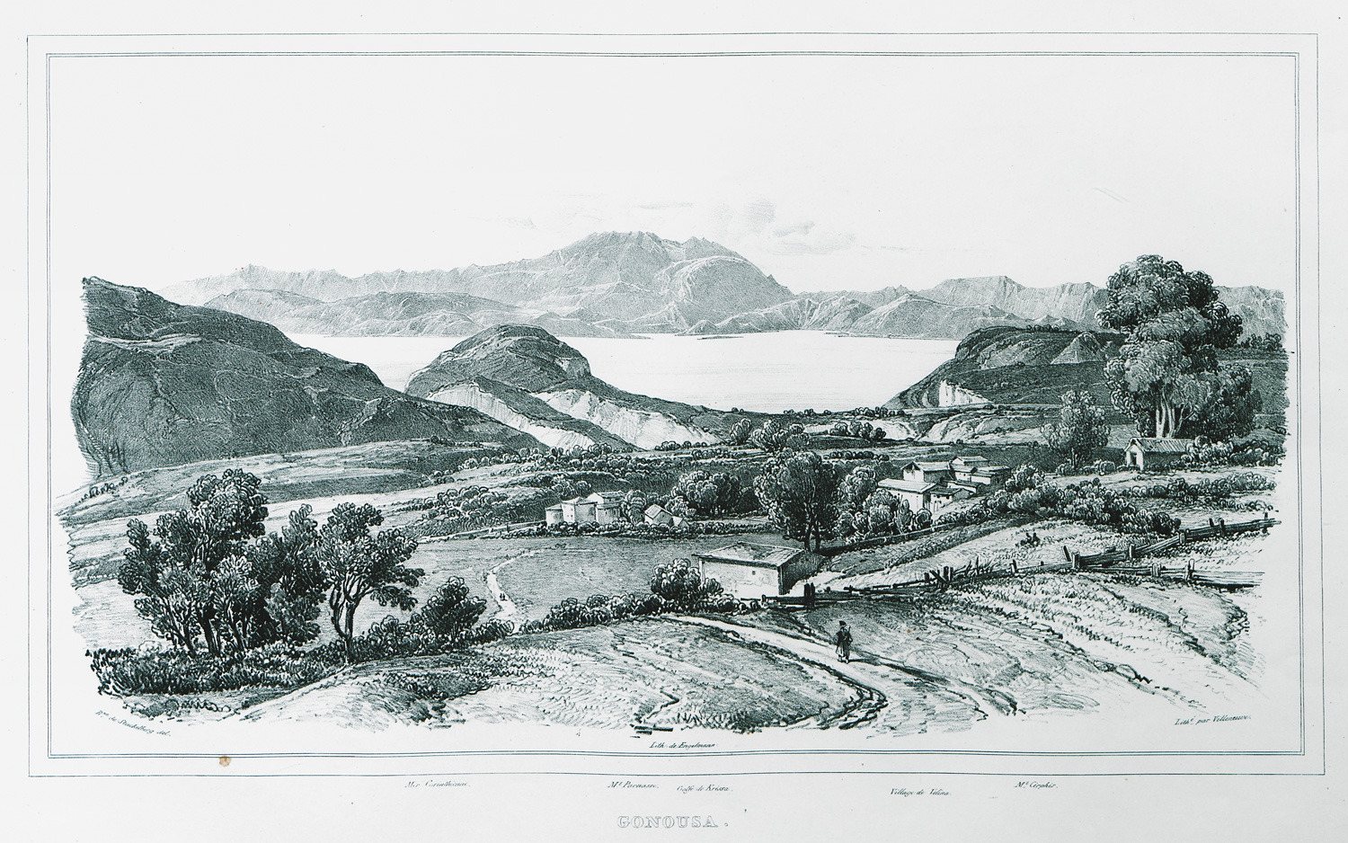
View of Gonousa, village of Corinthian prefecture, on Mount Cyllene.
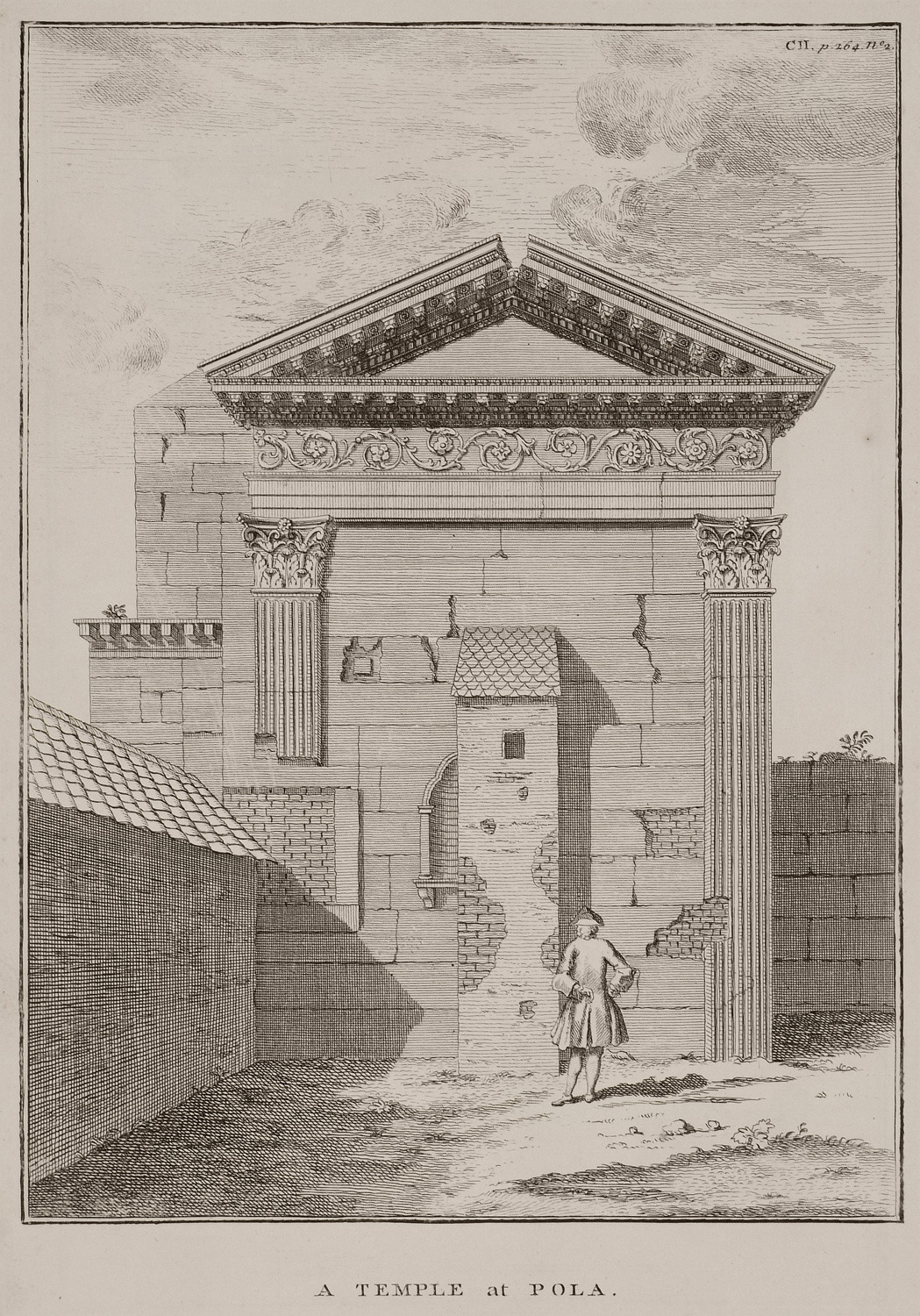
View of the remaining part of the Temple of Diana in Pula, Croatia, which is today part of the City Hall.
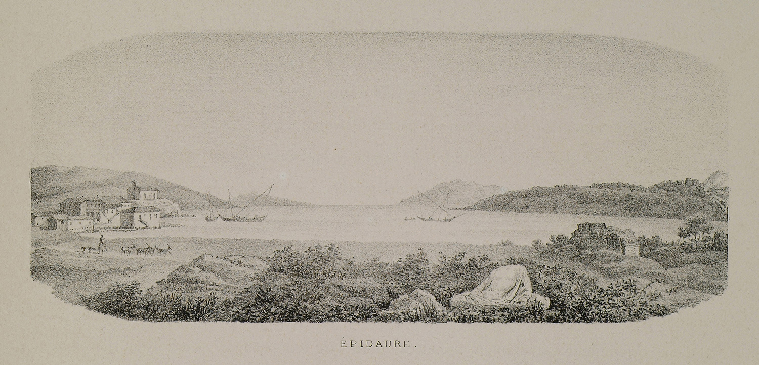
View of Epidaurus.
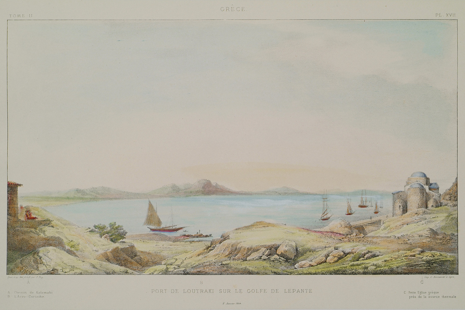
View of Loutraki on the gulf of Corinth.
Topographical map of the Ishtmus of Corinth.
Map of the bay of Naupactus. Patras on the foreground. On the right, the disposition of the Holy League fleet during the Battle of Lepanto (1571).
The disposition of the Holy League fleet and that of the Ottoman Army (semicircle) during the Battle of Lepanto (1571).
Ships entering the Gulf of Corinth. The city of Patras in the background, on the right.
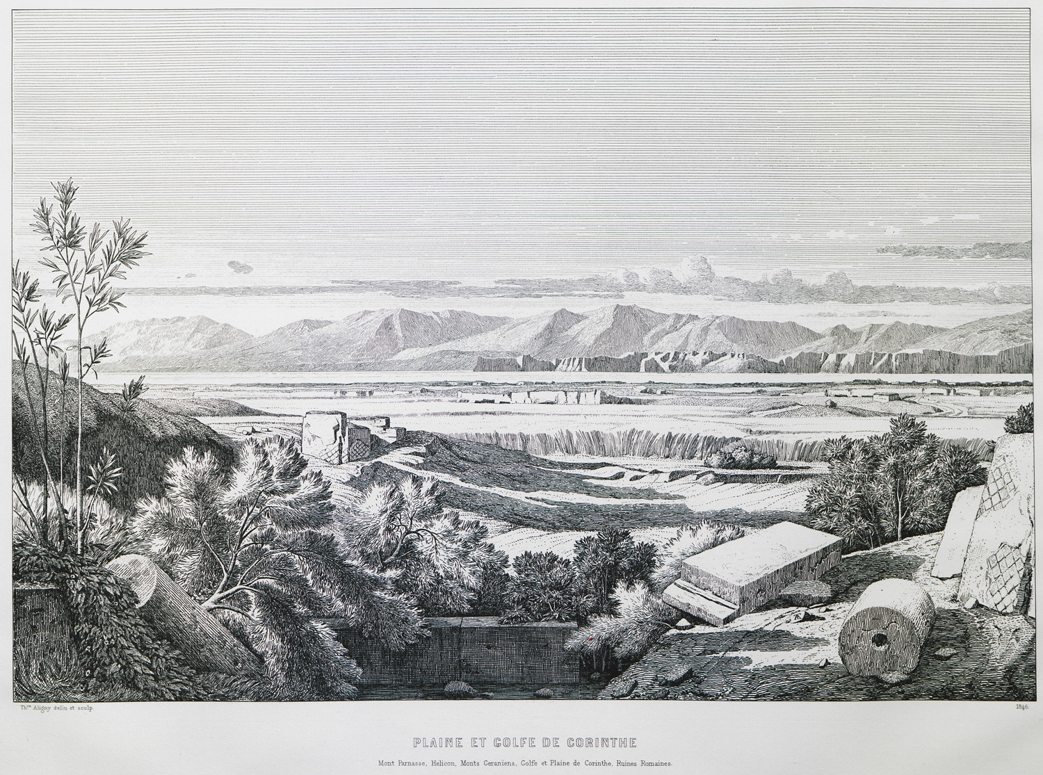
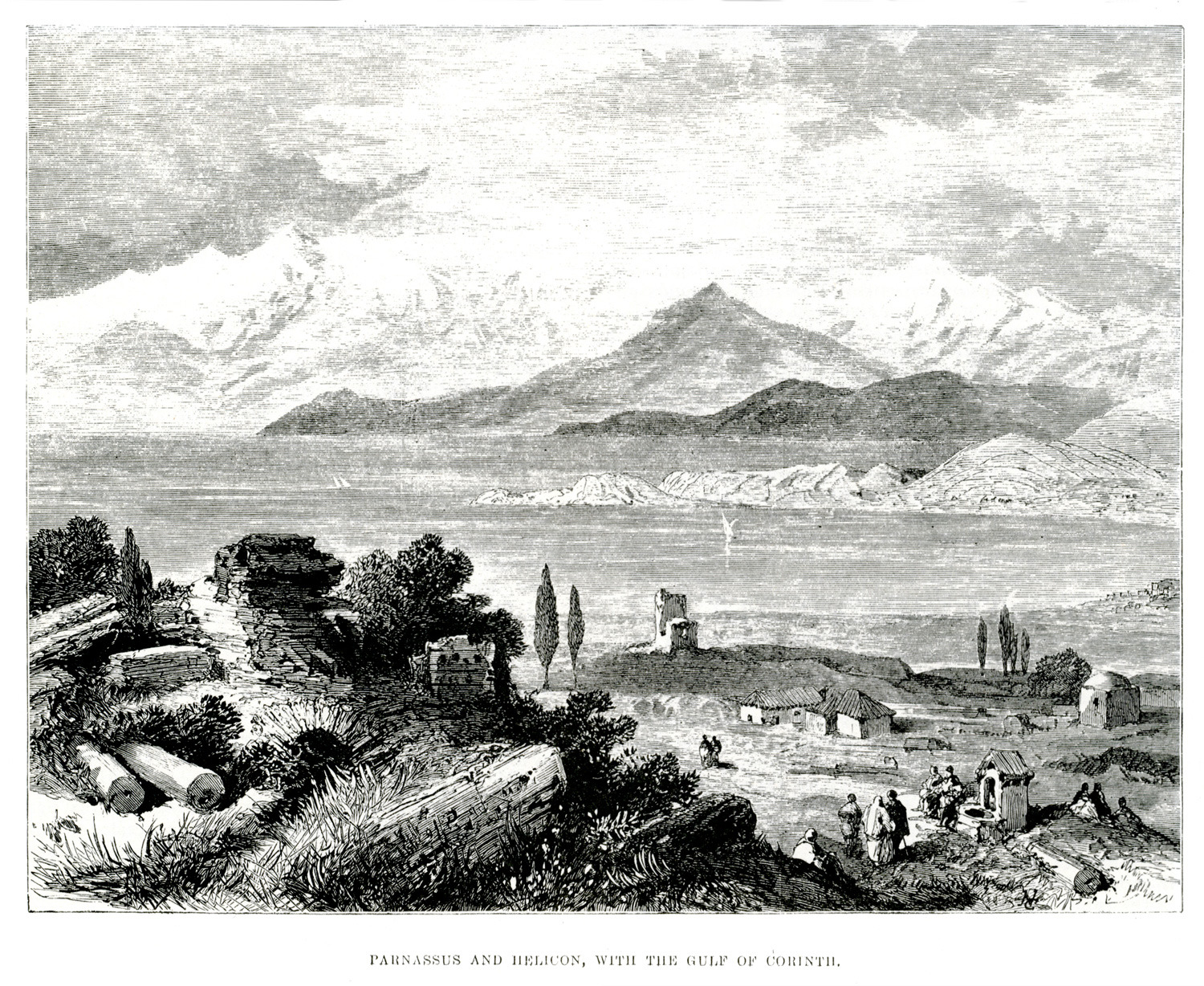
Landscape at the Corinthian Gulf. In the distance, Mount Parnassus and Mount Helicon.
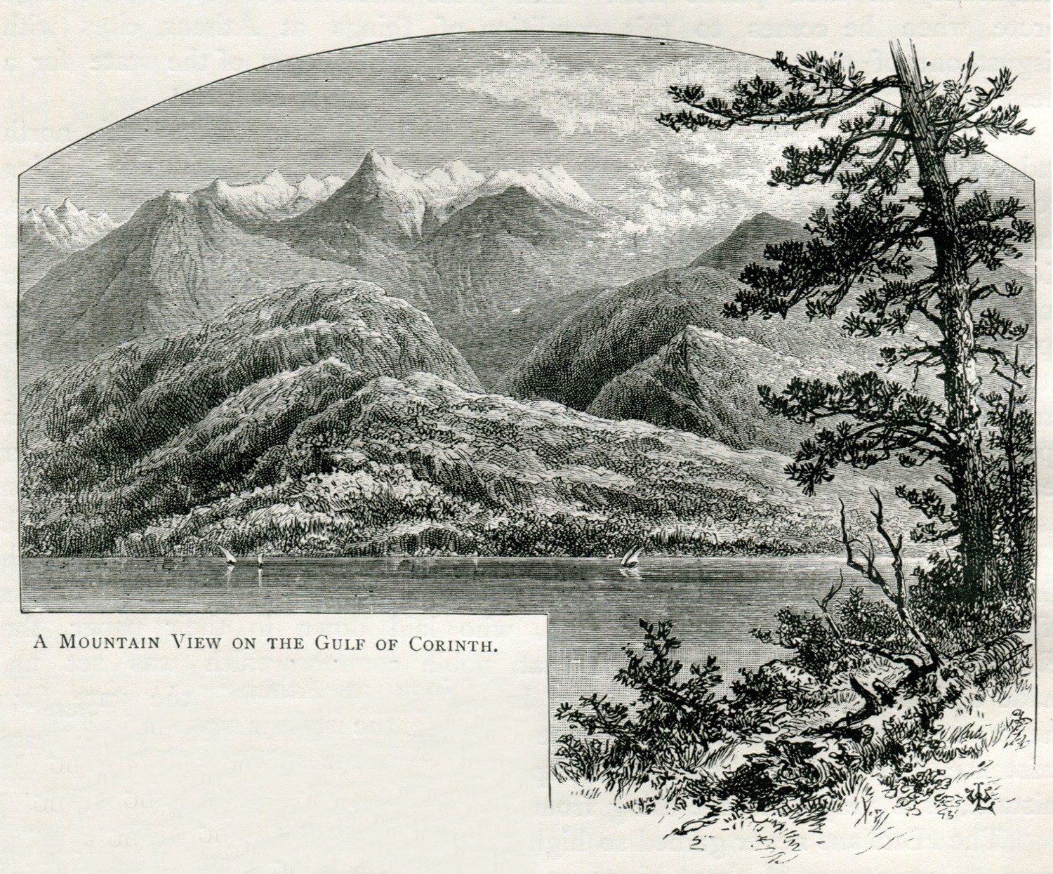
A mountain view on the Gulf of Corinth. In the background, Mount Helicon.
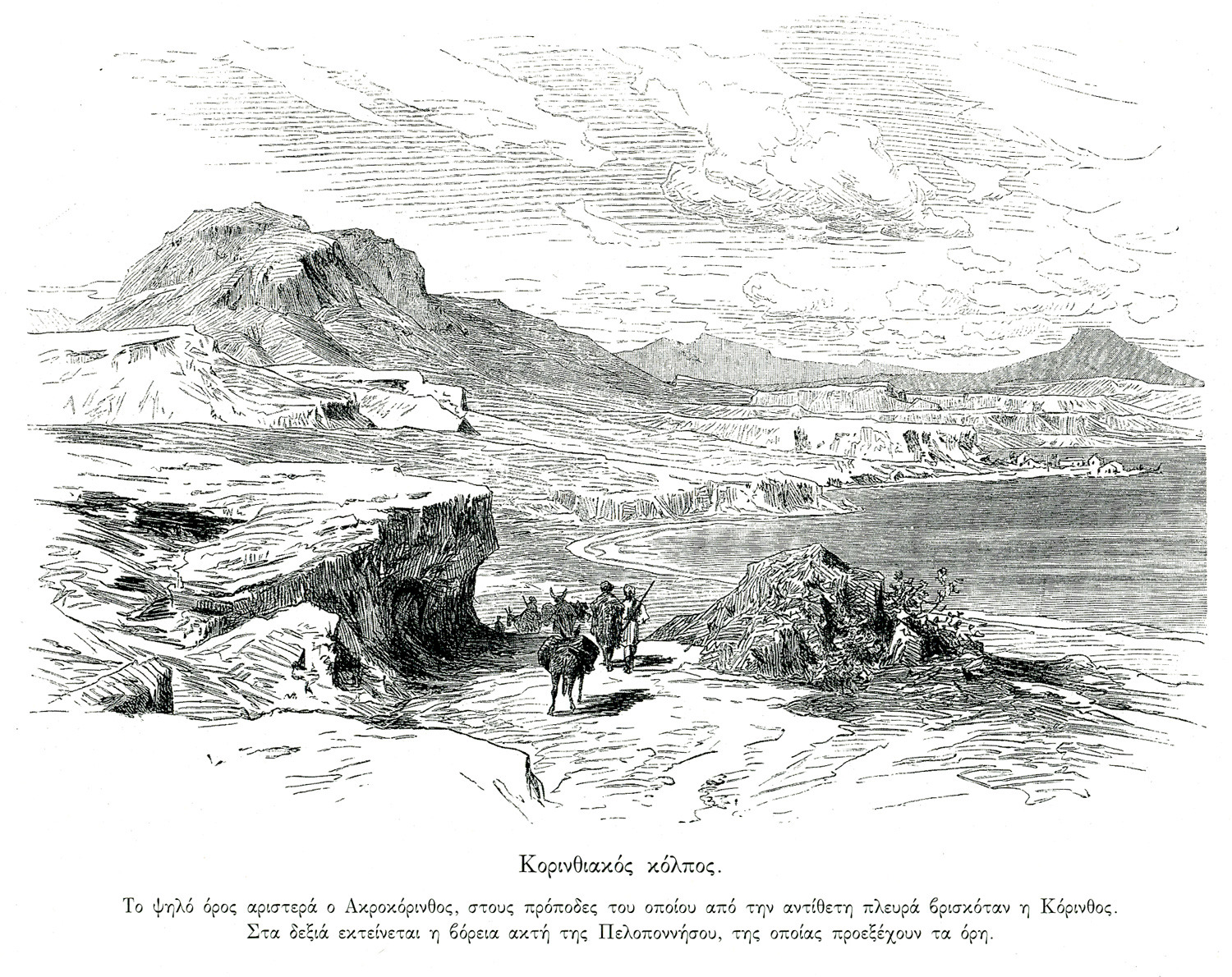
The Corinthian gulf. On the left, Acrocorinth. On the right, the northern coast of the Peloponnese.
Landscape at the gulf of Corinth. In the distance, Mounts Parnassus and Helicon.
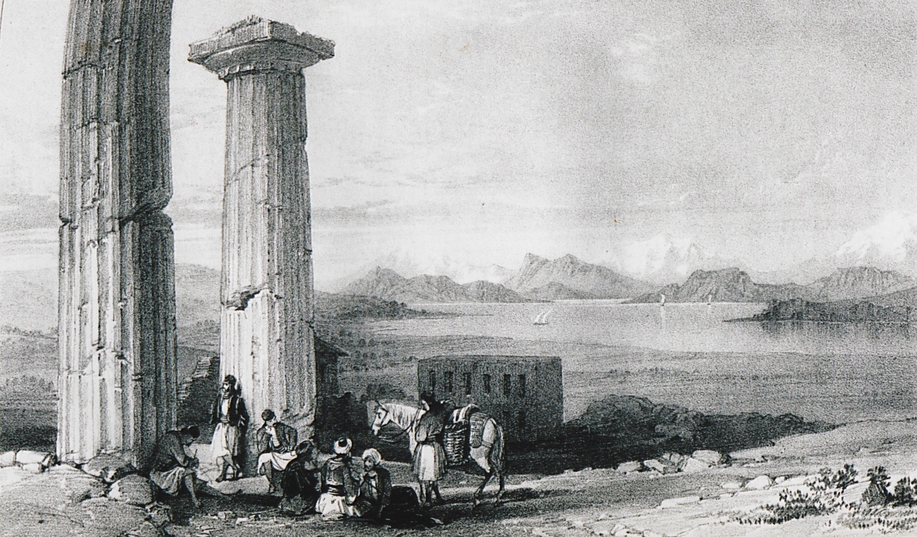
The Corinthian gulf seen from Ancient Corinth. On the left, columns of the temple of Apollo.


