Bays and gulfs (19 Subjects)
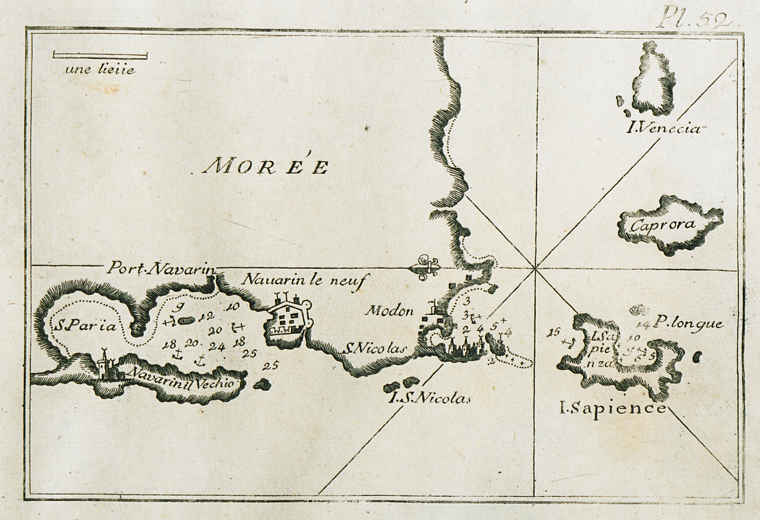
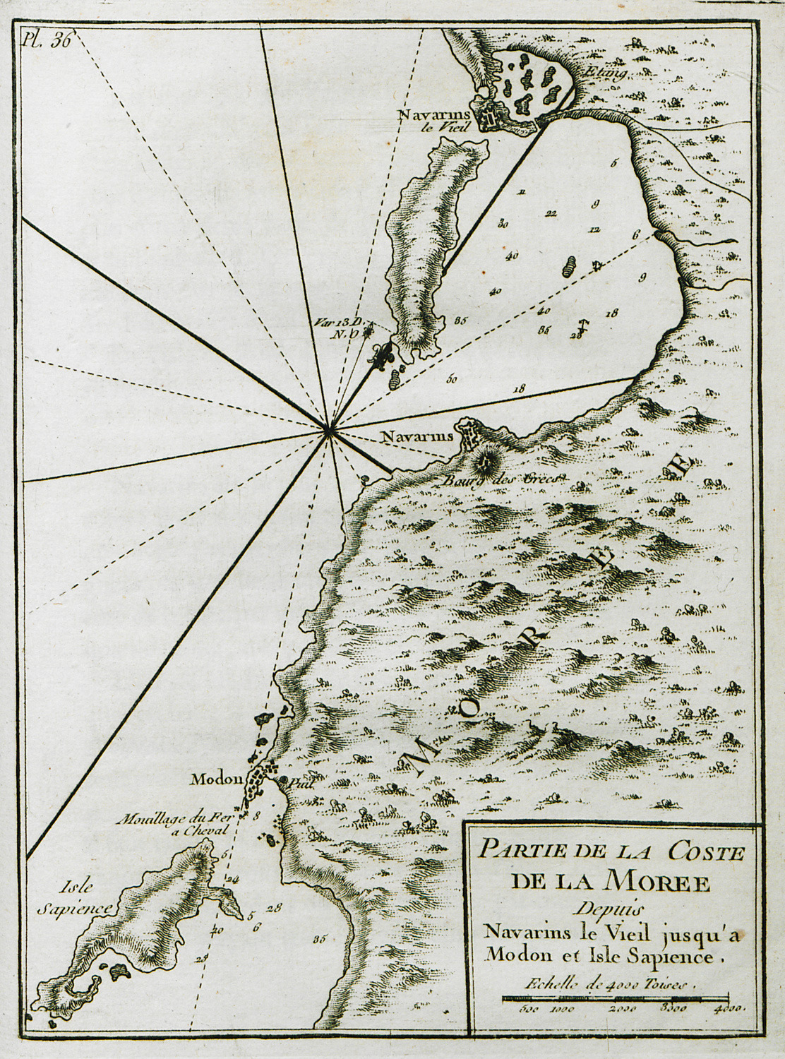
Map of the bay and port of Pylos, of the bay of Methoni and of Sapienza island.
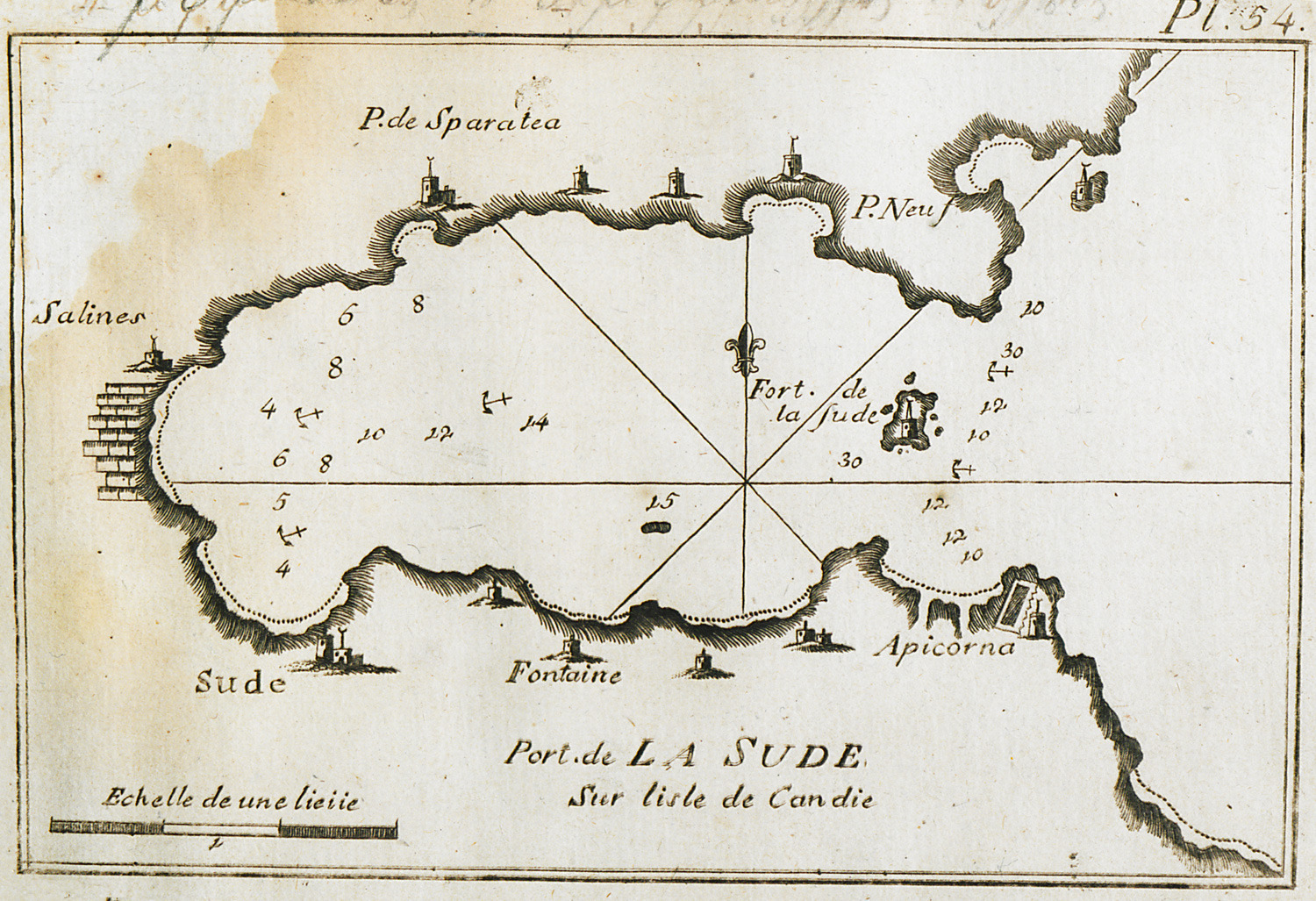
Map of the bay and port of Souda in Crete.
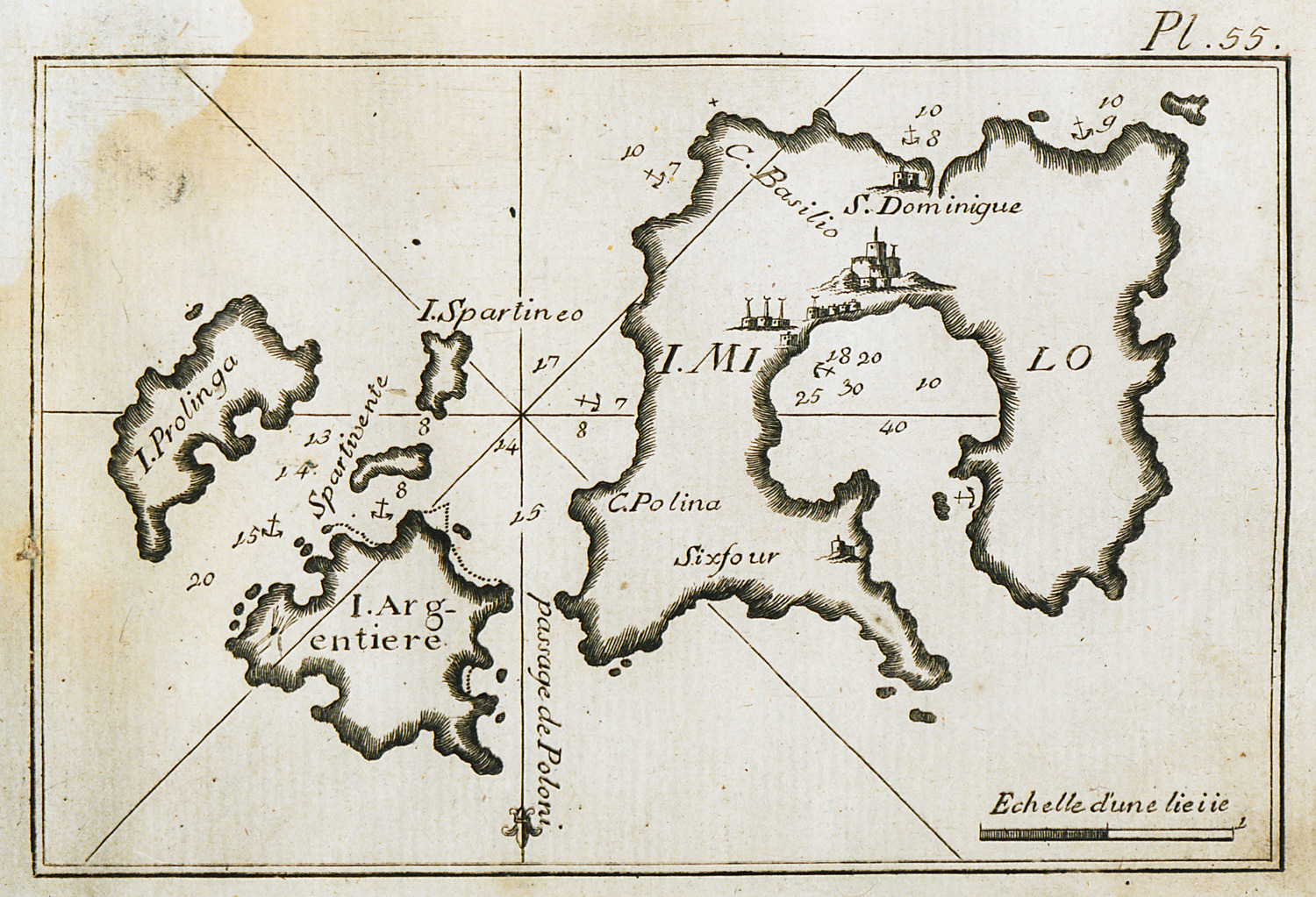
Map of Milos and surrounding islands, charting the port of Milos and the port waters.
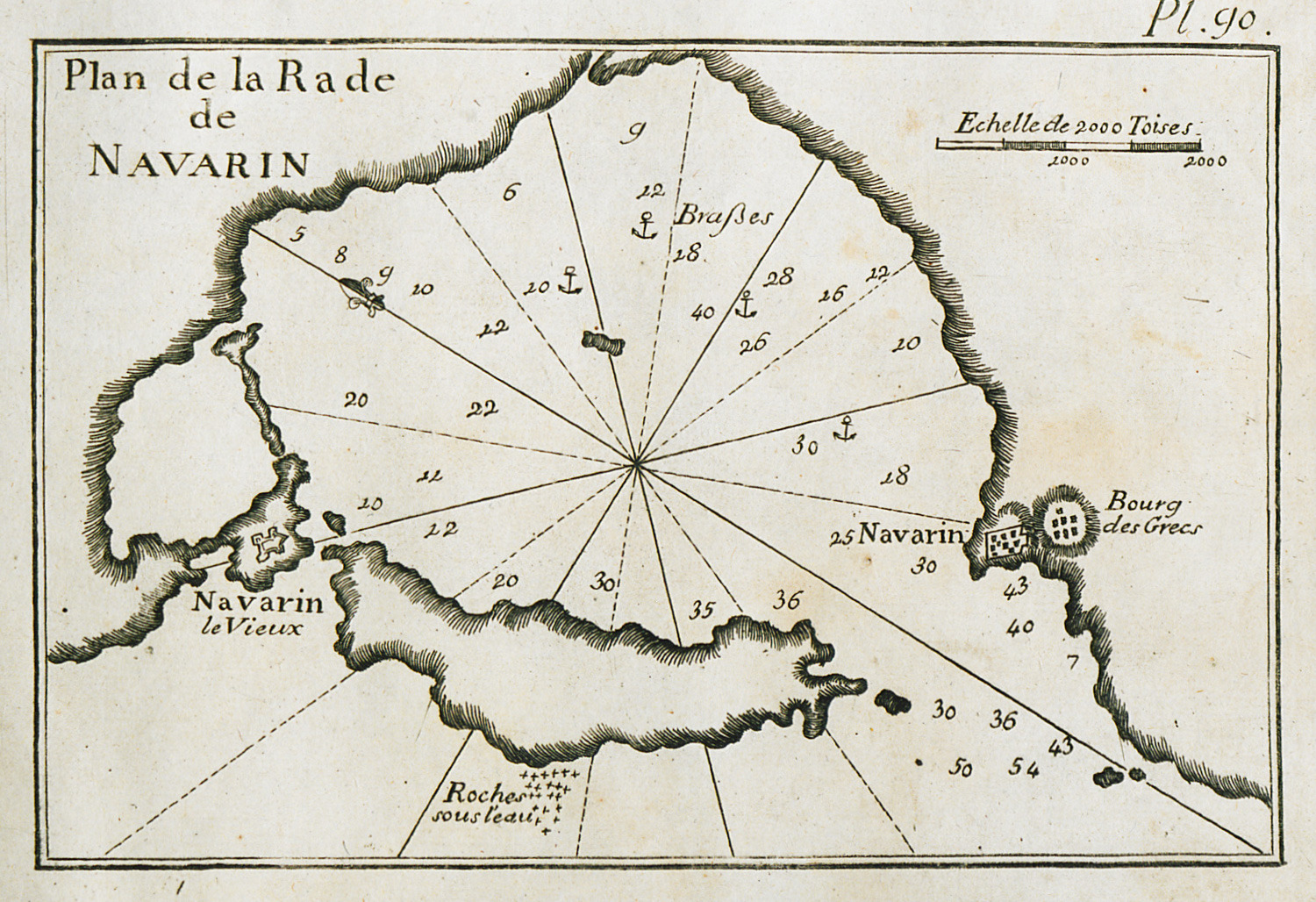
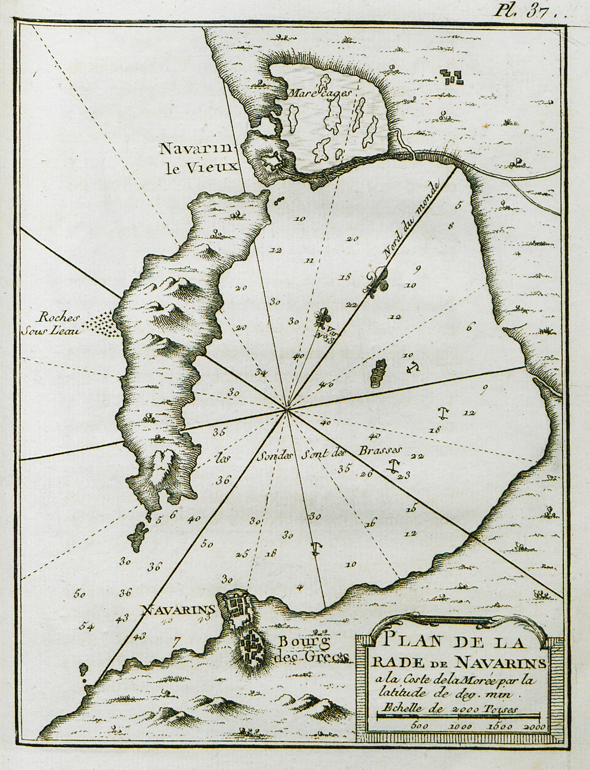
Map of the bay of Pylos (Navarino).
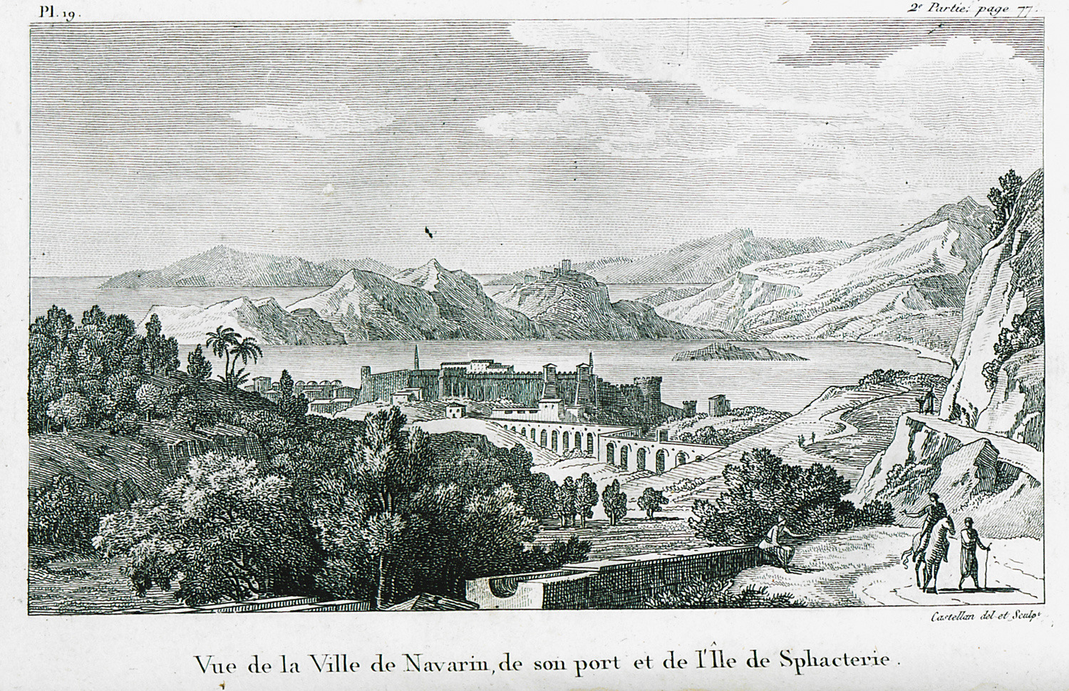
View of the Castle of Pylos (Niokastro) and Bay of Navarino with Sphacteria island.
Map of the Peloponnese coastline, from the bay of Navarino to Methoni and Sapienza.
Map of the bay of Navarino.
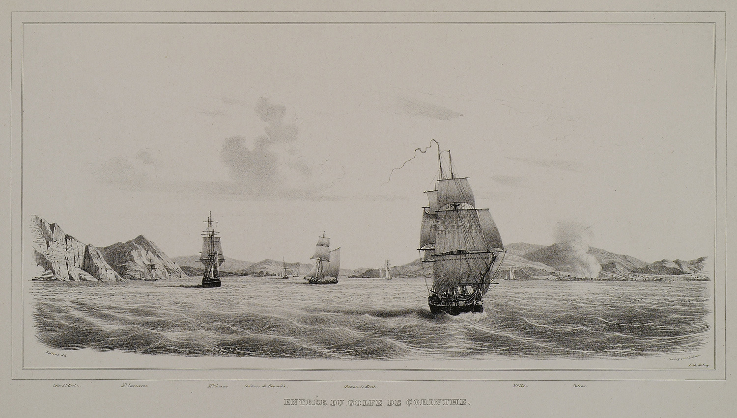
Ships entering the Gulf of Corinth. The city of Patras in the background, on the right.
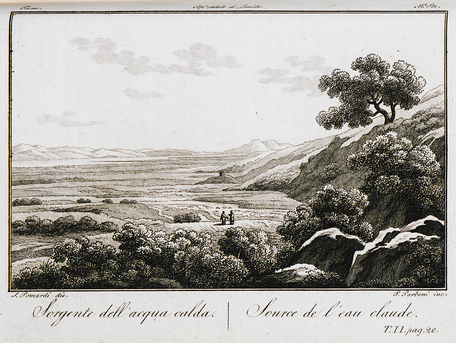
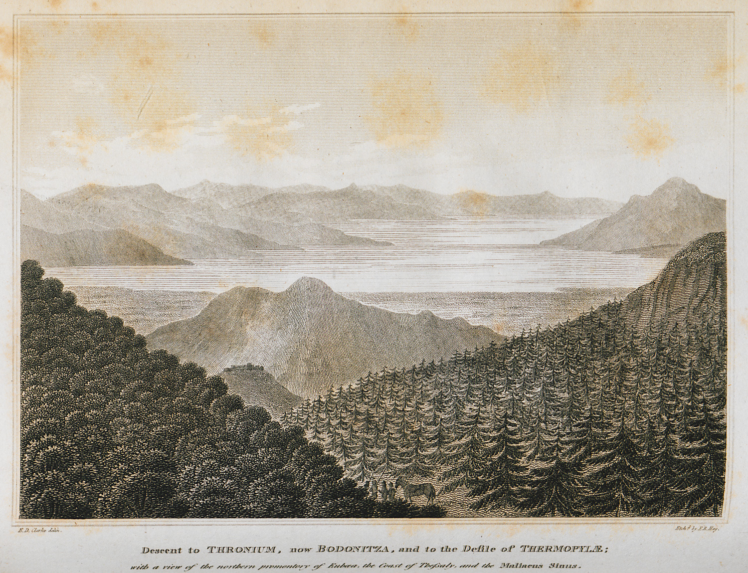
The thermal springs of Thermopylae, at the outfall of Spercheios river into the Malian gulf.
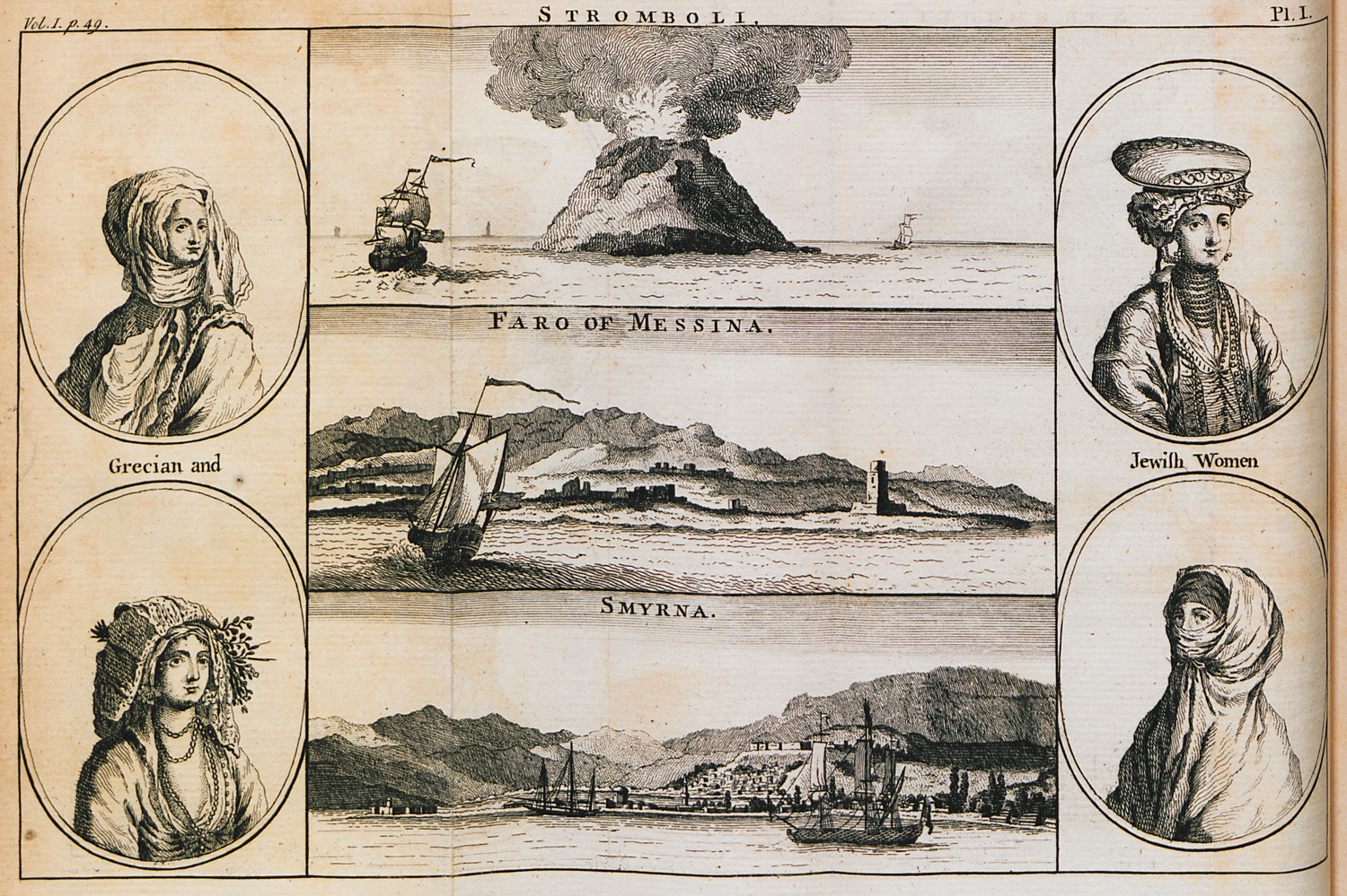
Greek and Jewish women in traditional costume. View of Stroboli volcano. Lighthouse at the bay of Messina, Sicily. View of Izmir.
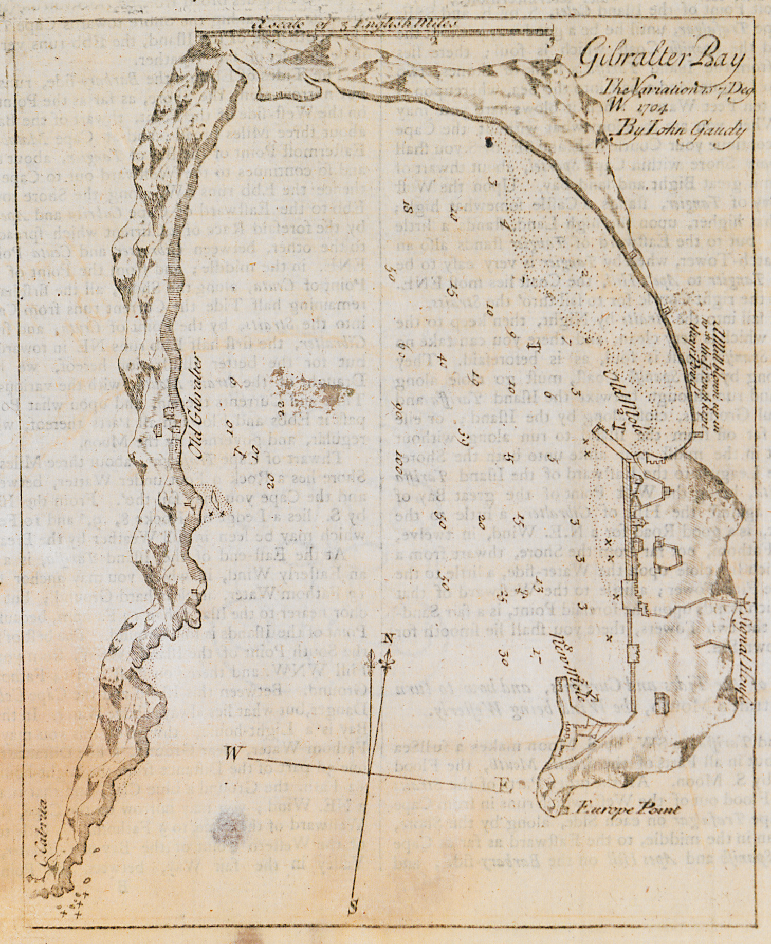
Nautical chart of the bay and anchorage of Gibraltar.
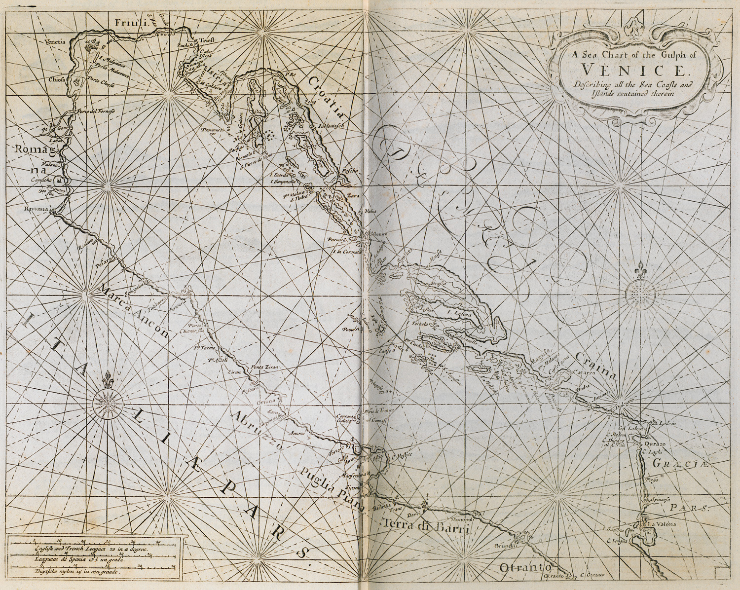
Nautical chart of the gulf of Venice.
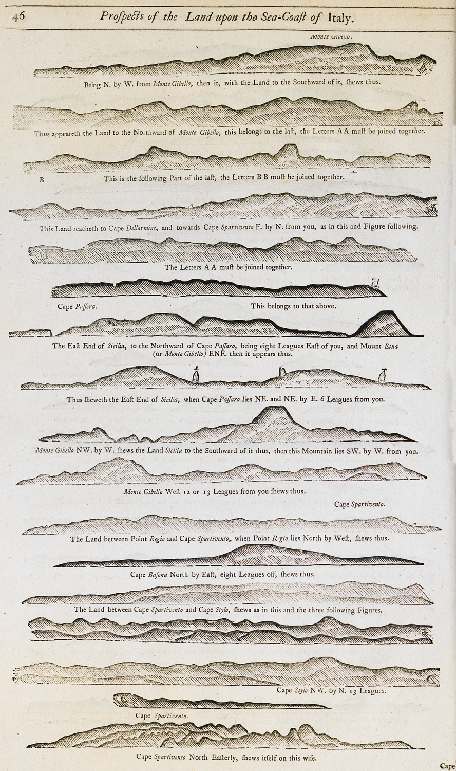
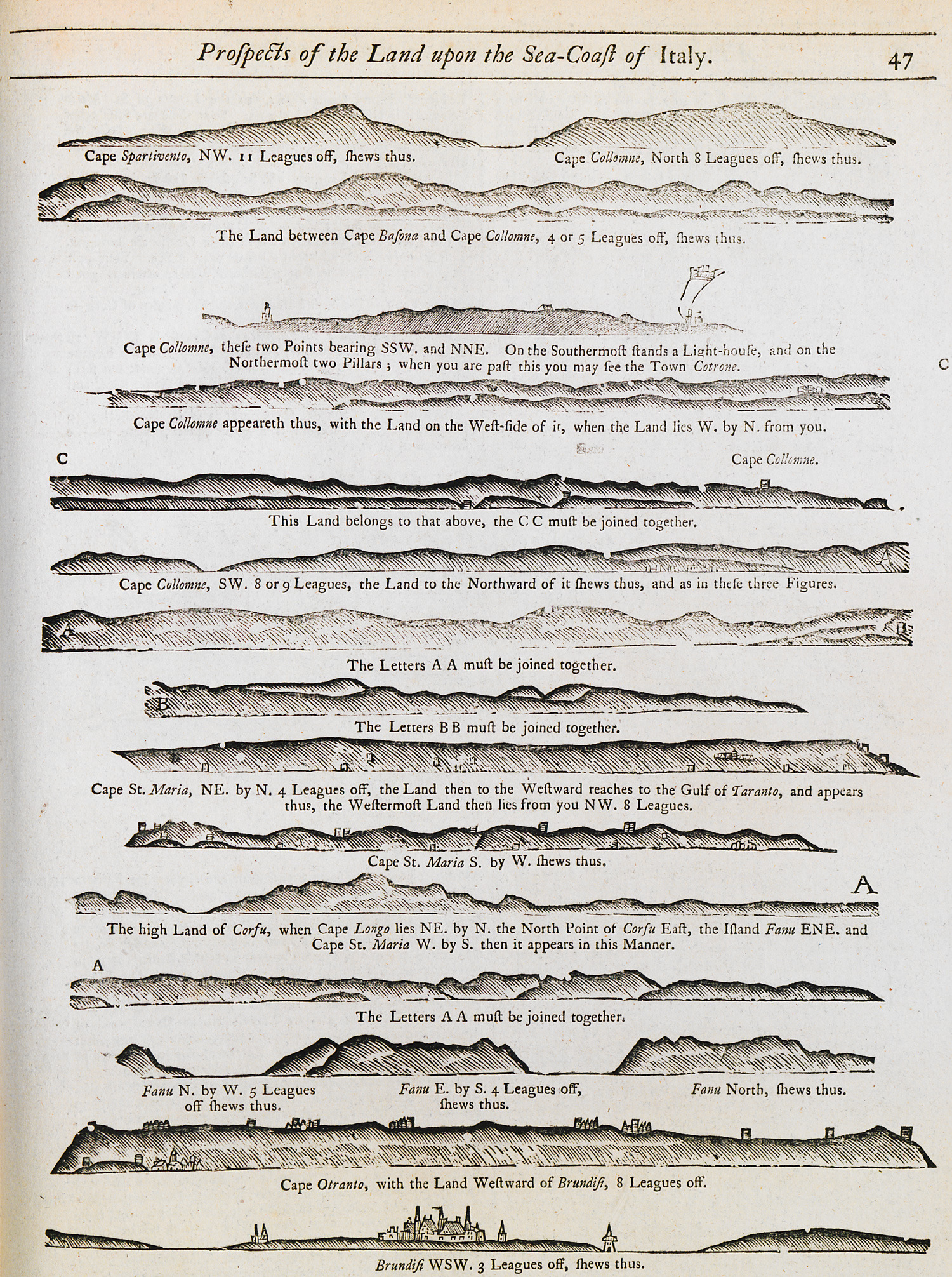
Outline of the coasts at the gulf of Venice as seen from the sea.
Outline of the coasts at the gulf of Venice as seen from the sea.
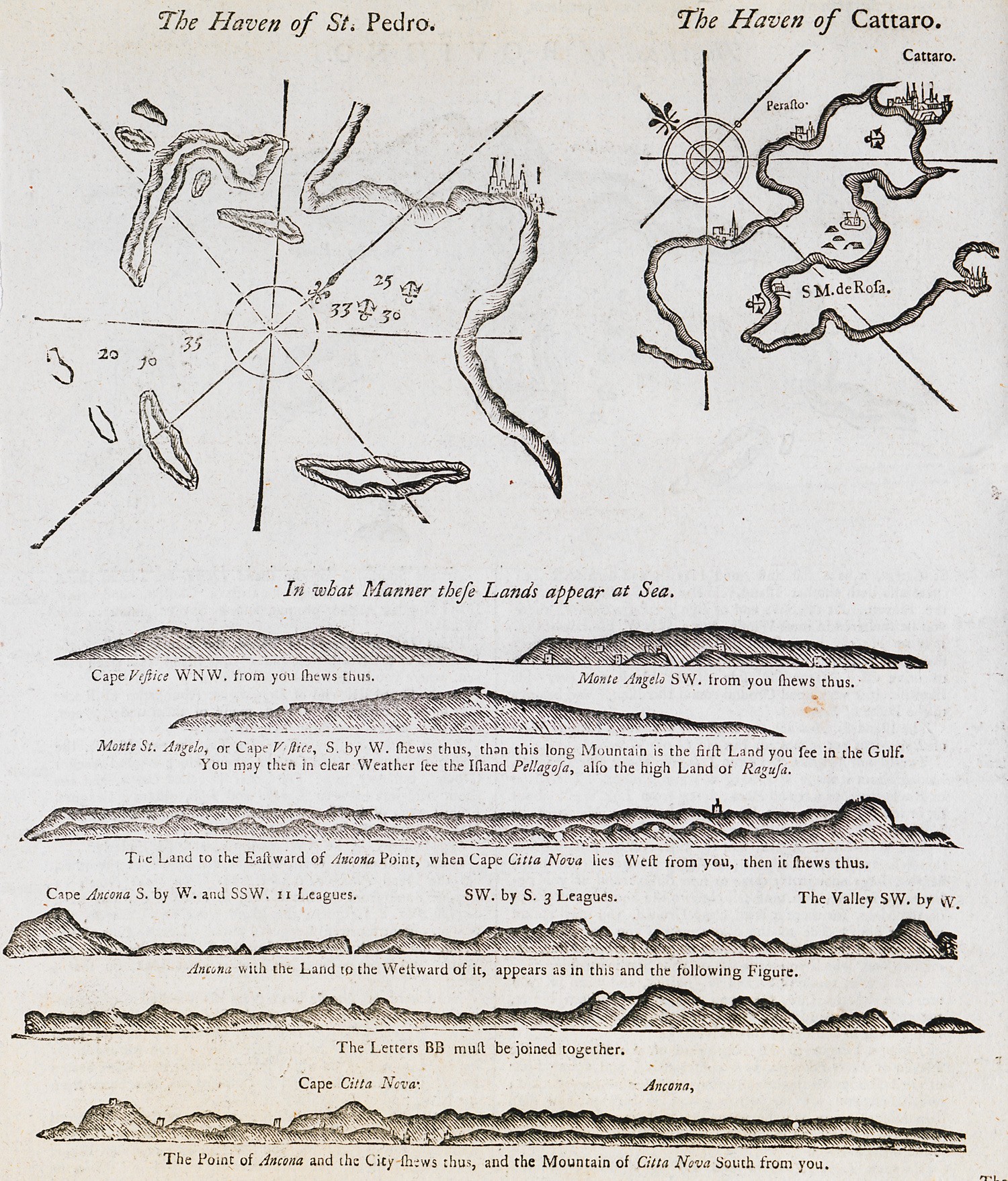
Nautical chart of the bay of Molat in Croatia. Nautical chart of the bay of Kotor in Croatia. Outline of the coast of Dalmatia.
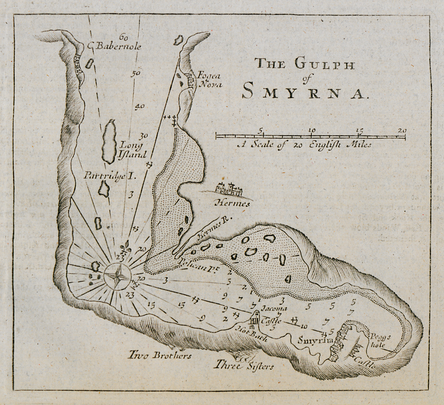
Nautical chart of the gulf of Izmir.
View of Thermopylae from Mendenitsa. In the background, the Malian gulf.
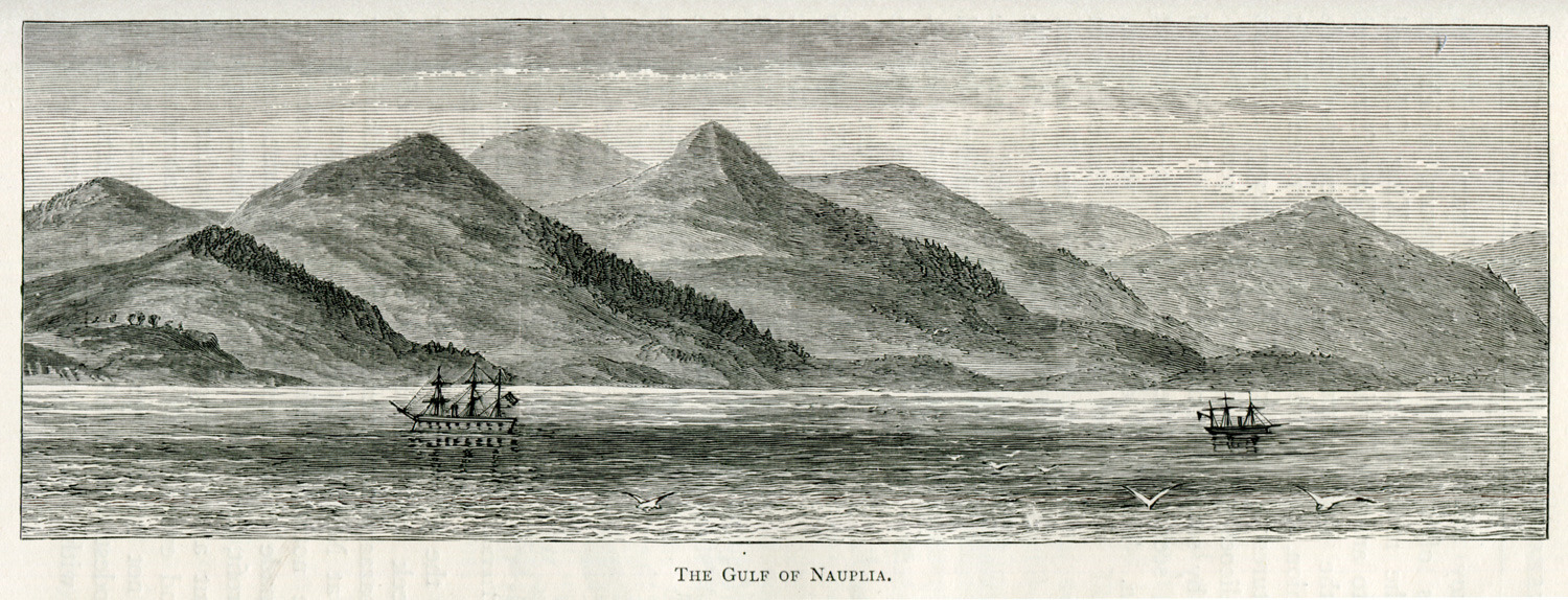
The gulf of Nafplion.
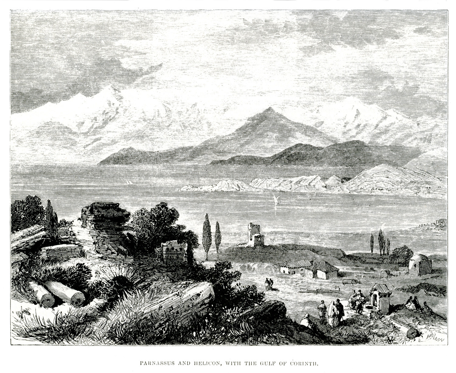
Landscape at the gulf of Corinth. In the distance, Mounts Parnassus and Helicon.


