Ukraine (65 Subjects)
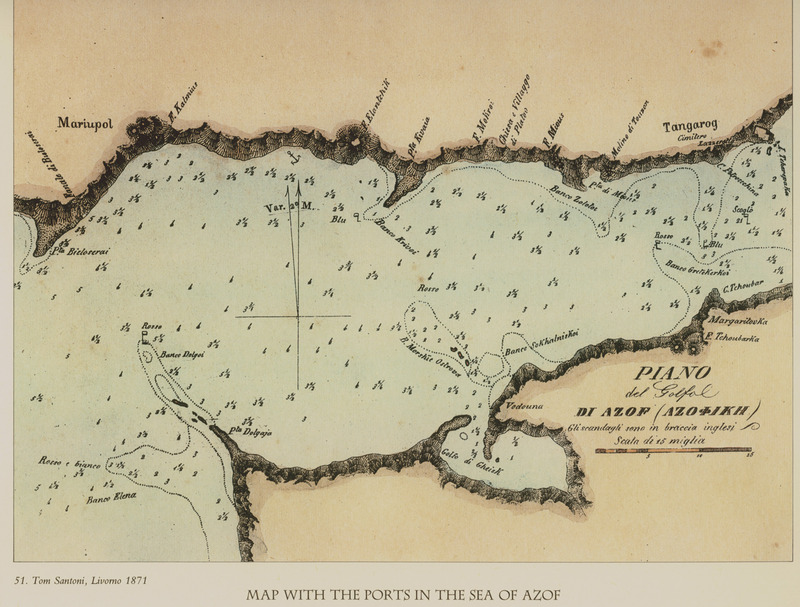
Map of the Sea of Azov.
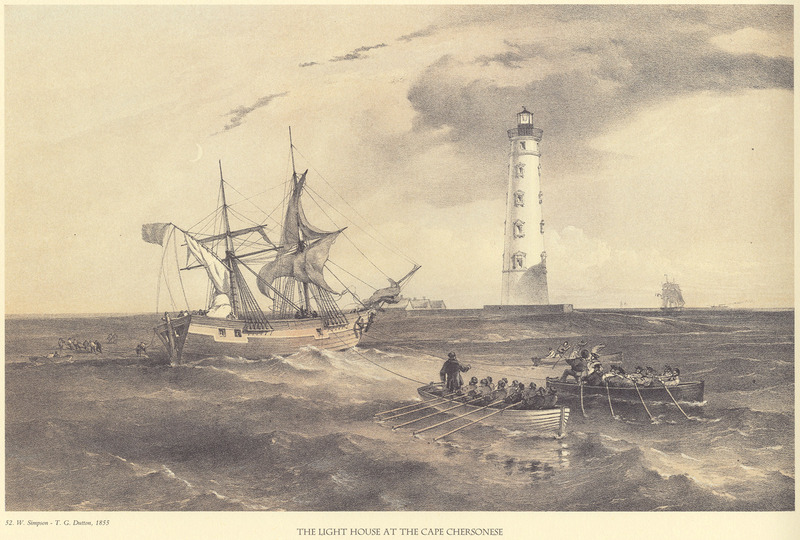
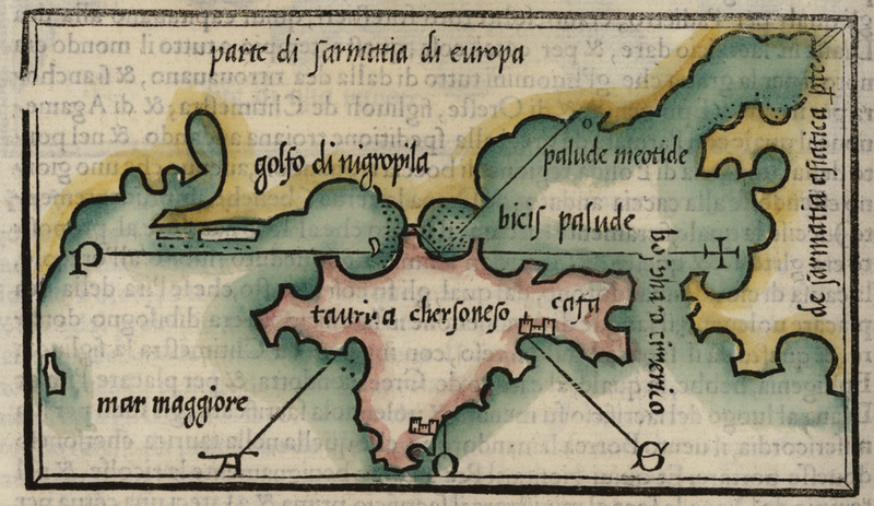
The Lighhouse on the Tauric Chersonese (Crimean Peninsula).
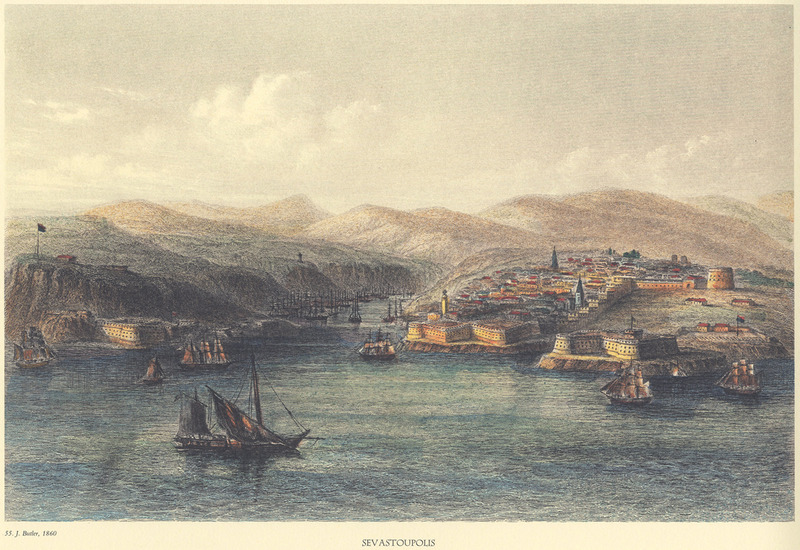
Sebastopol in 1860.
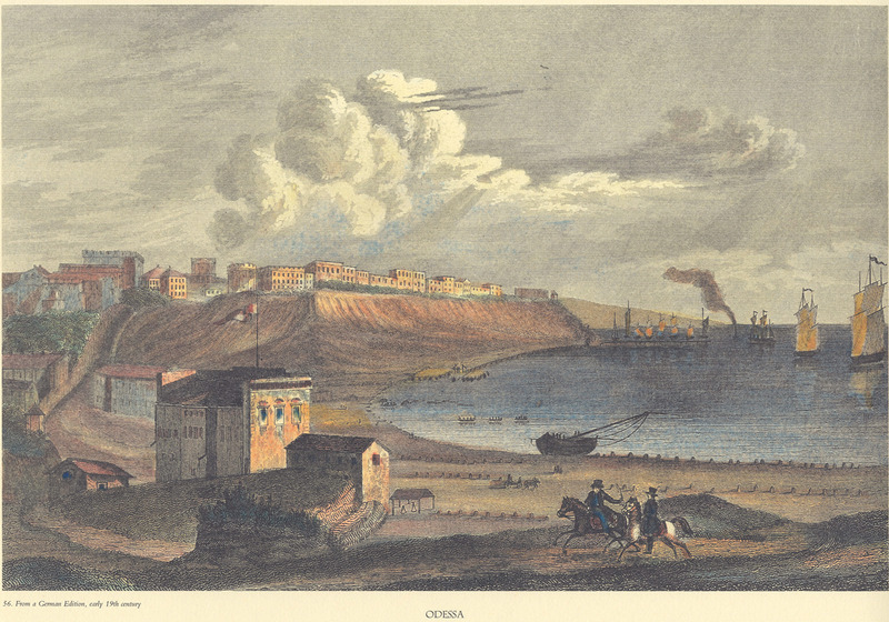
Odessa in the 19th century. German engraving of the 19th century.
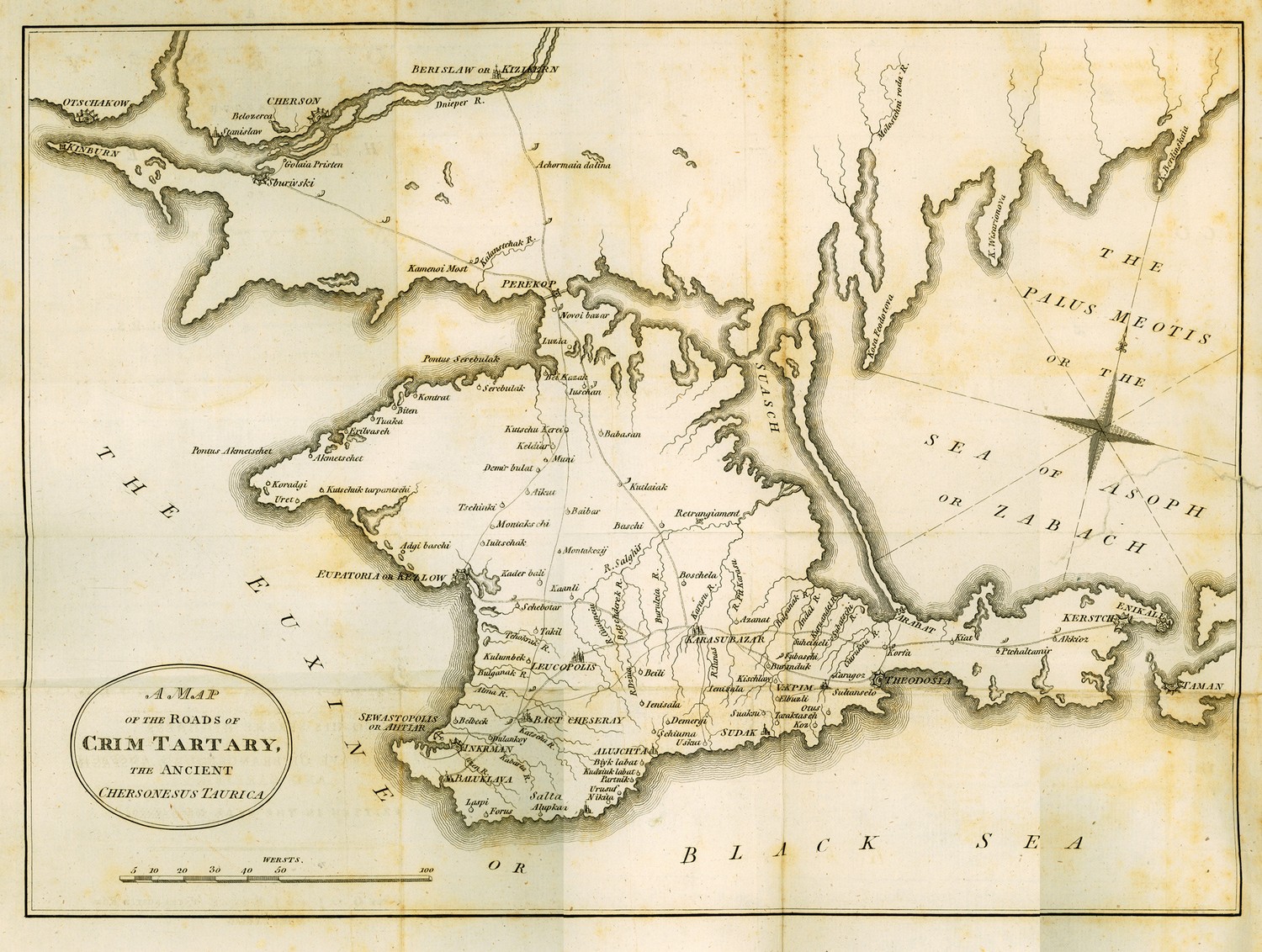
Map of the Crimaean peninsula.
Map of Crimea.
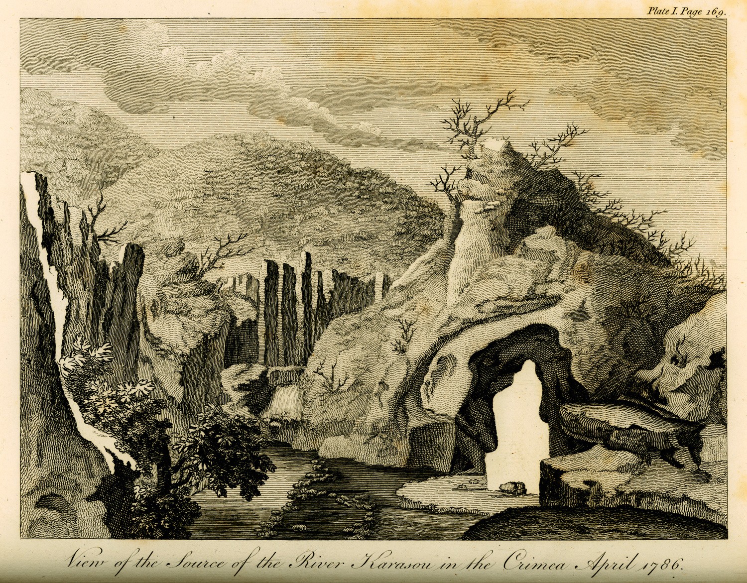
Origin of Buyuk Karasu river in Crimea.
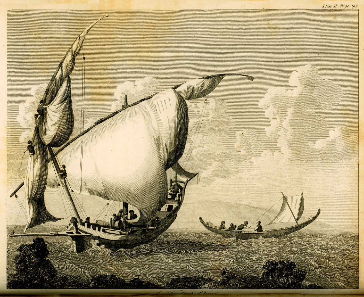
Boat.
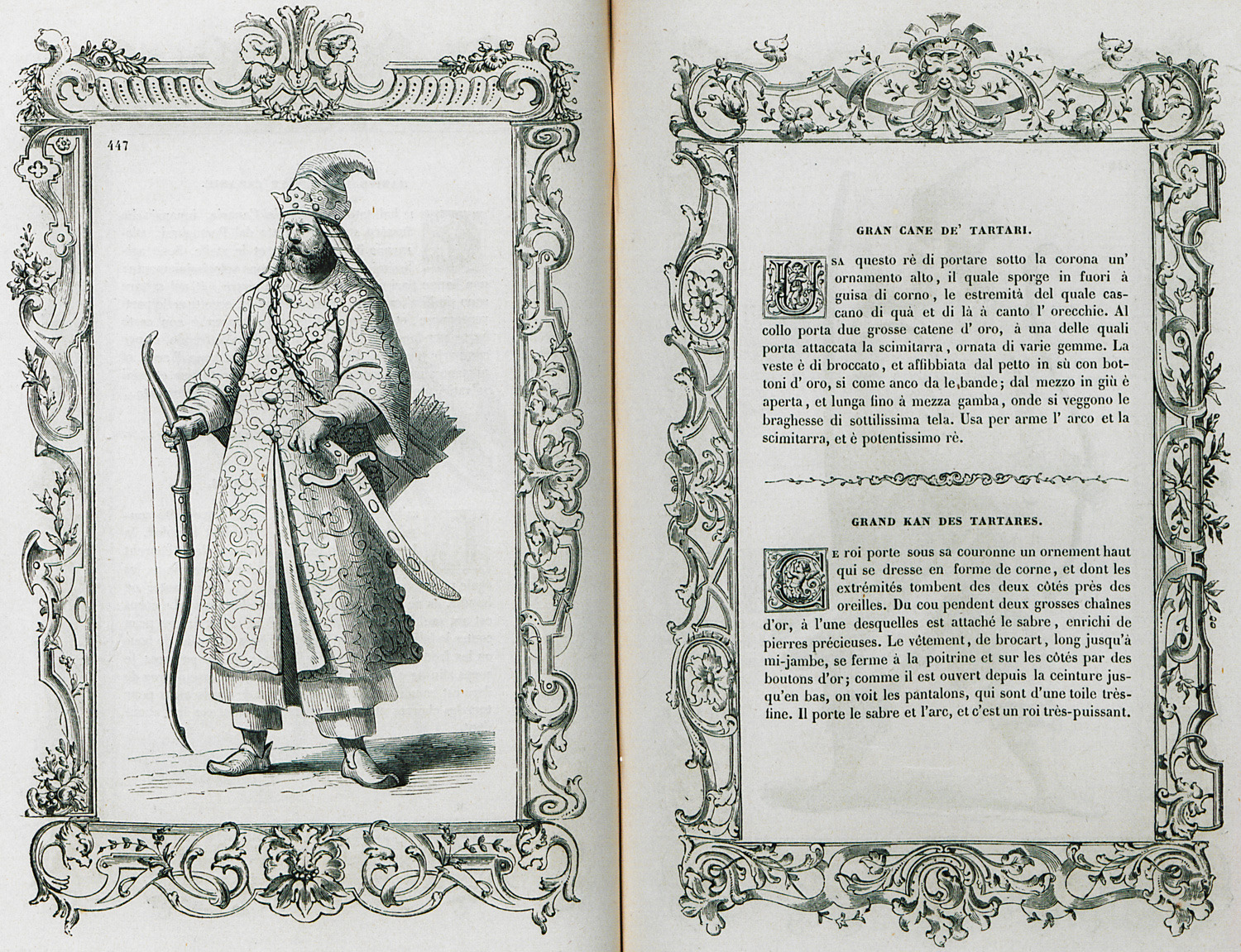
The Great Han of Crimean Tatars.
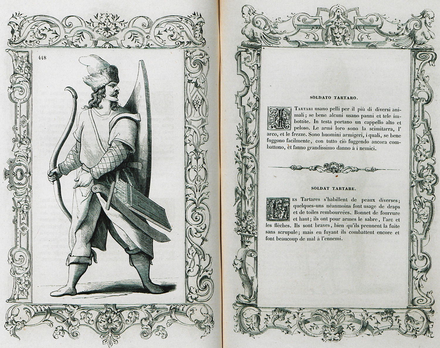
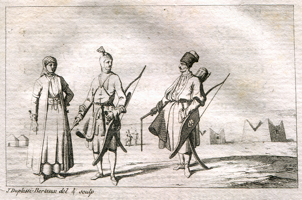
Tatar archer.
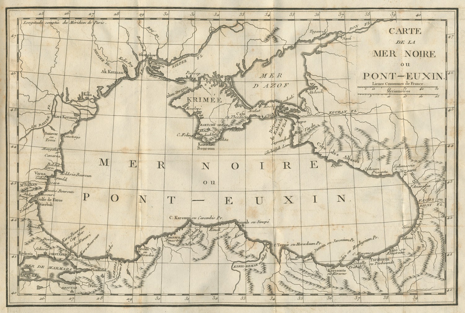
Map of the Black Sea.
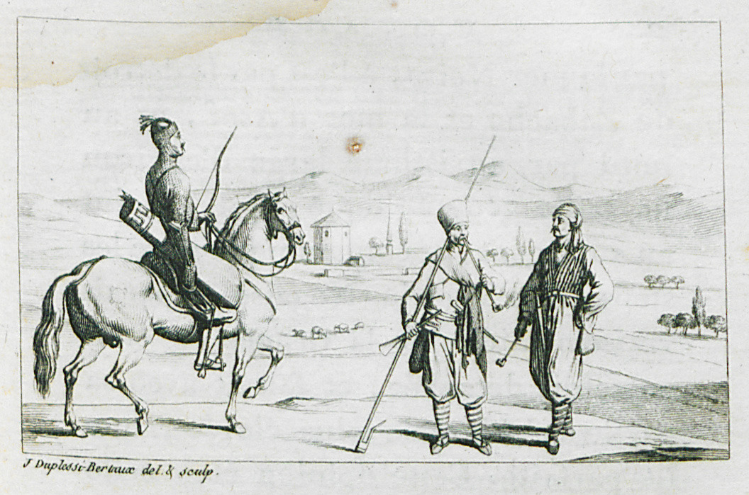
Tatars of Crimea.
Inhabitants of Crimea.
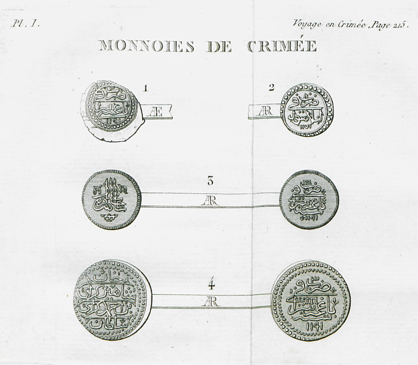
Coins from Crimea, Ottoman era.
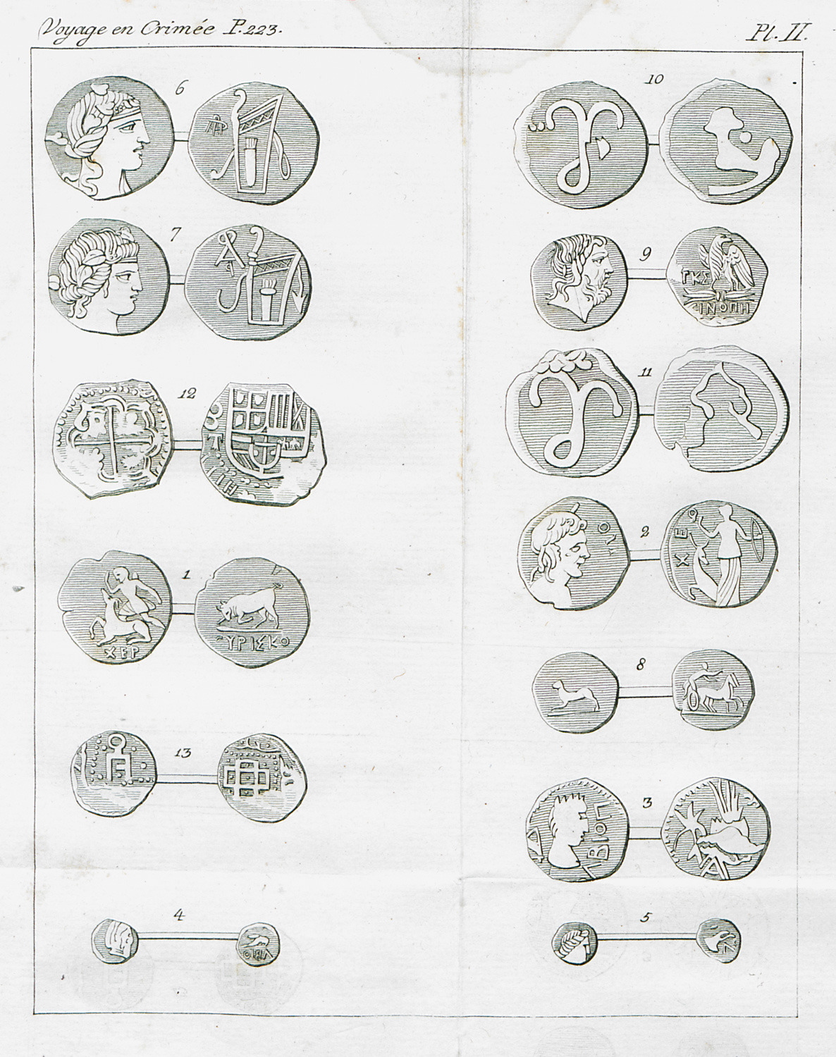
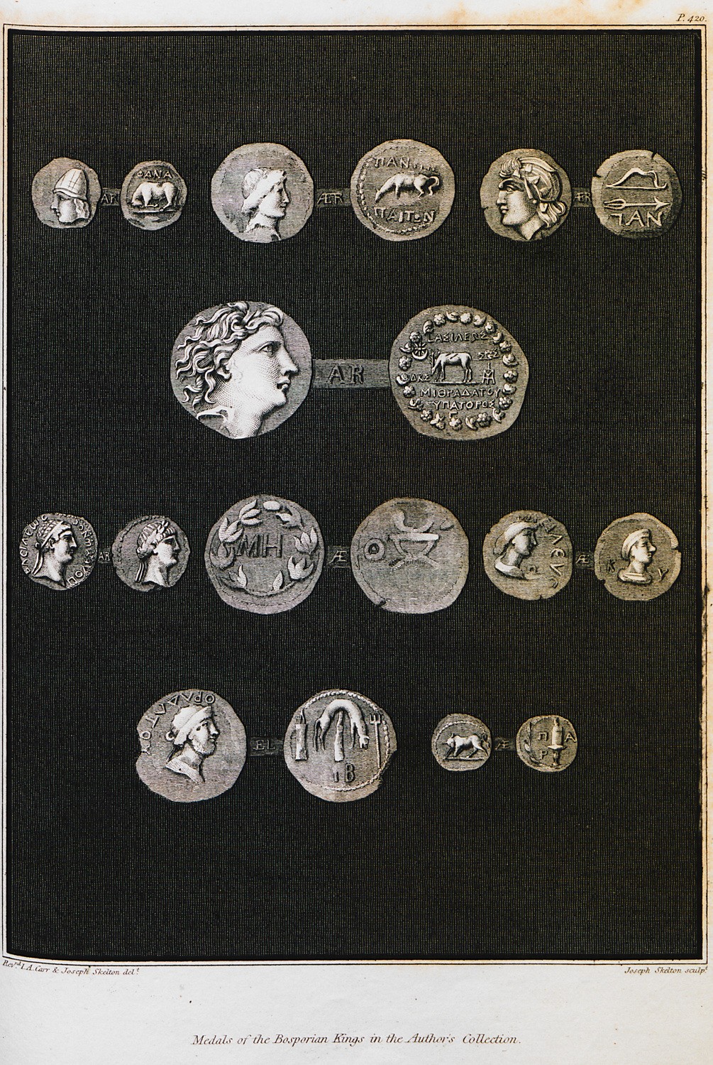
Ancient coins from Crimea.
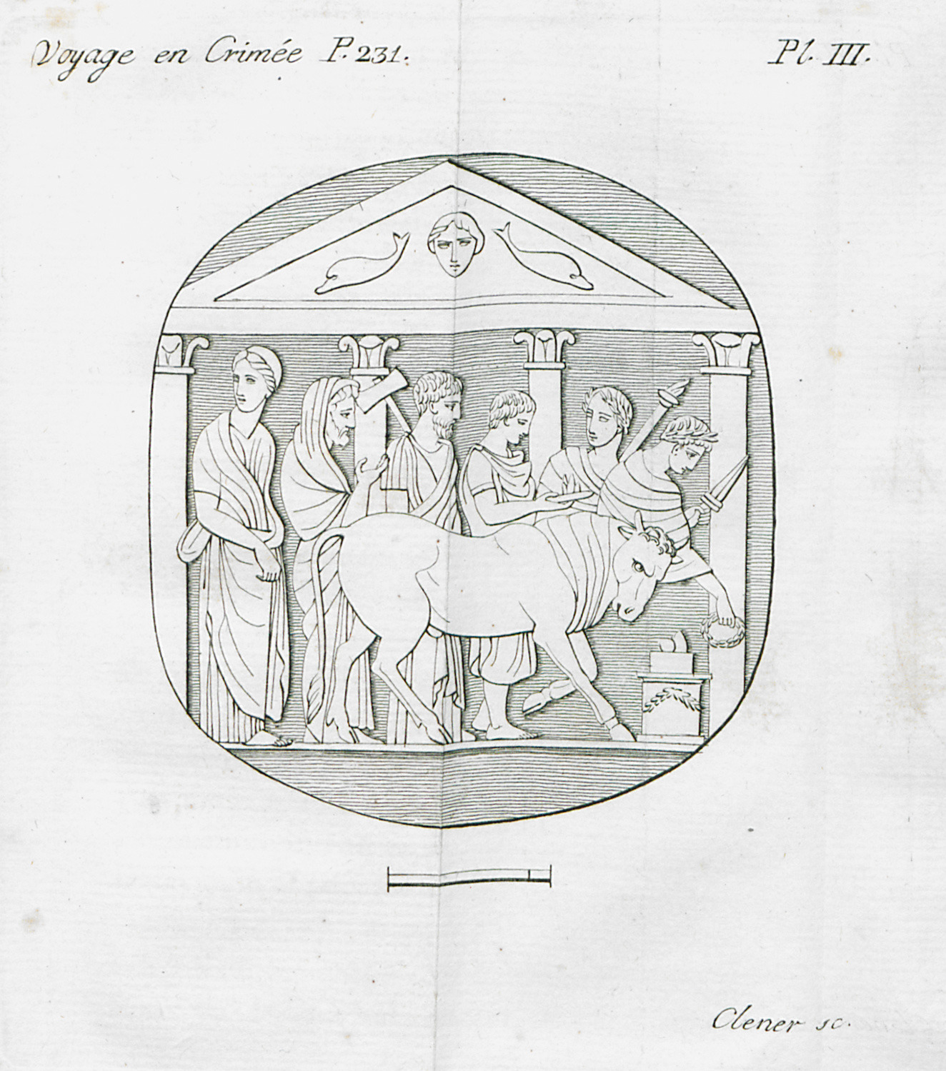
Signet with sacrifiial scene from Kerch, Crimea.
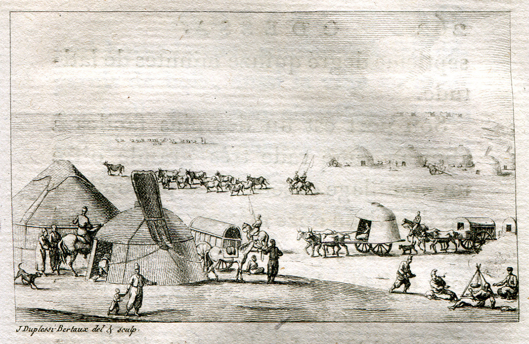
Nomad merchants of Crimea.
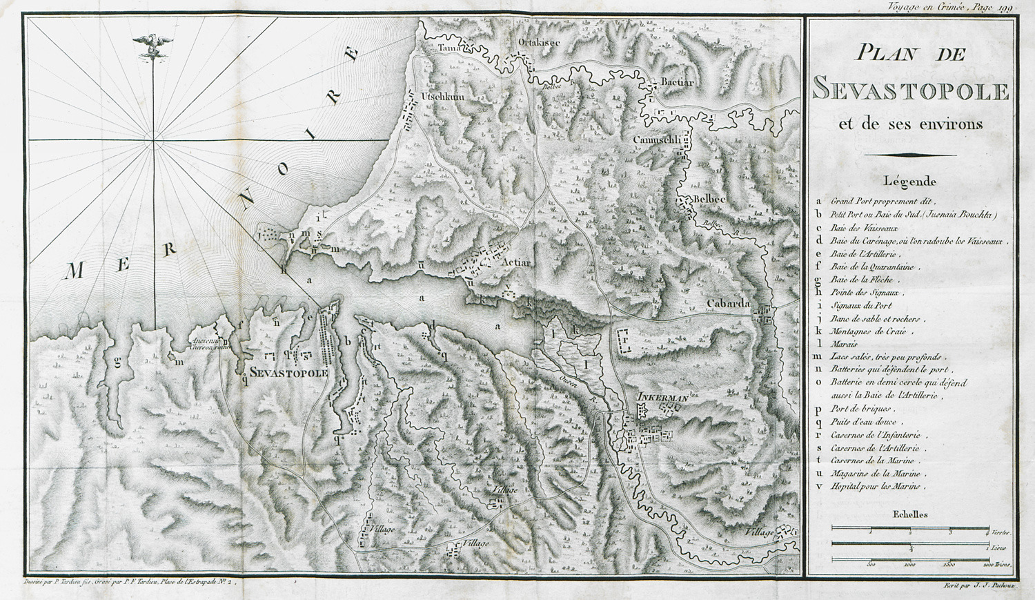
Map of Sebastopol and surrounding area.
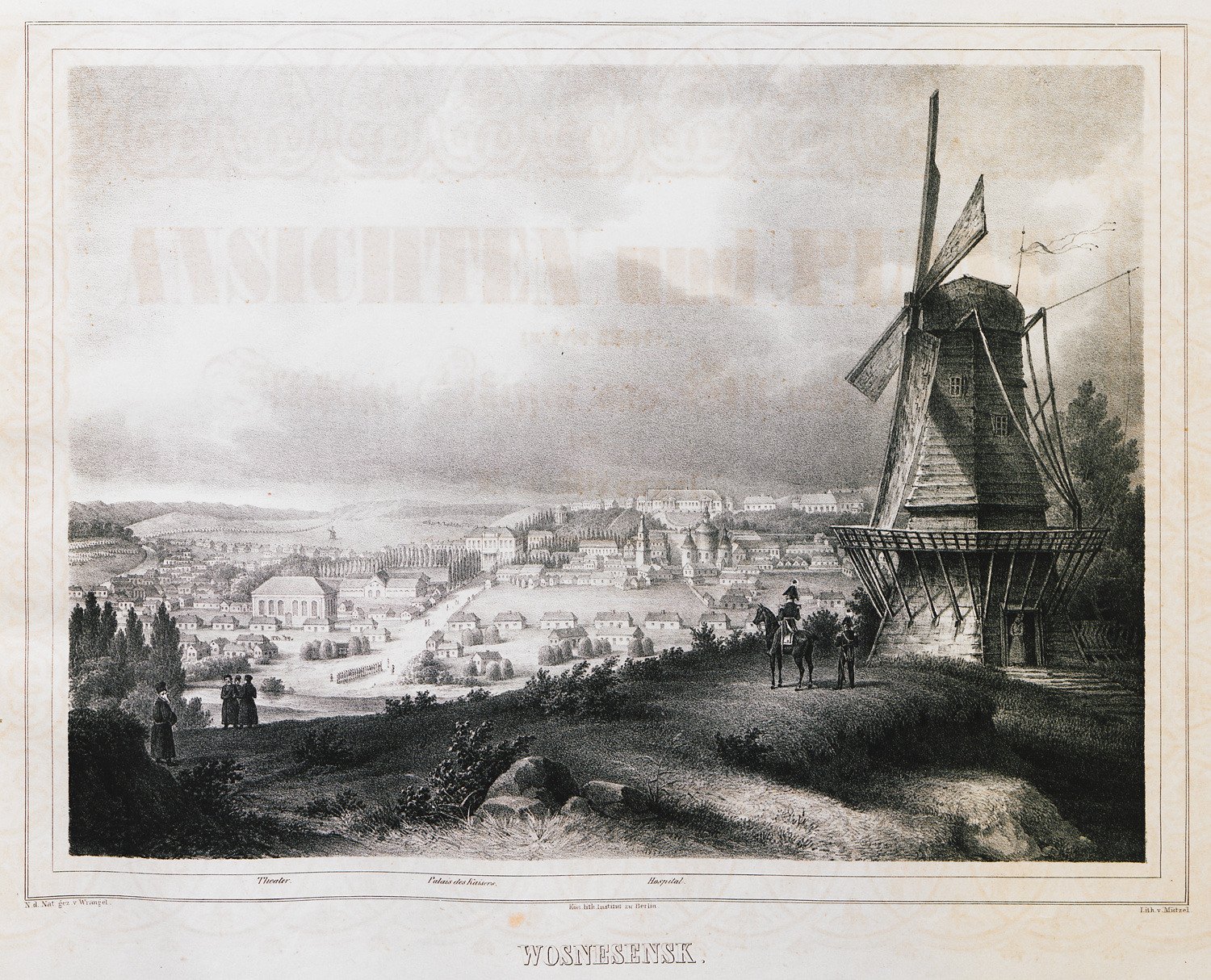
View of Voznesensk, Ukraine. In order to better control the territories of “New Russia”, Czar Alexander I had placed an important cavalry division at Voznesensk.
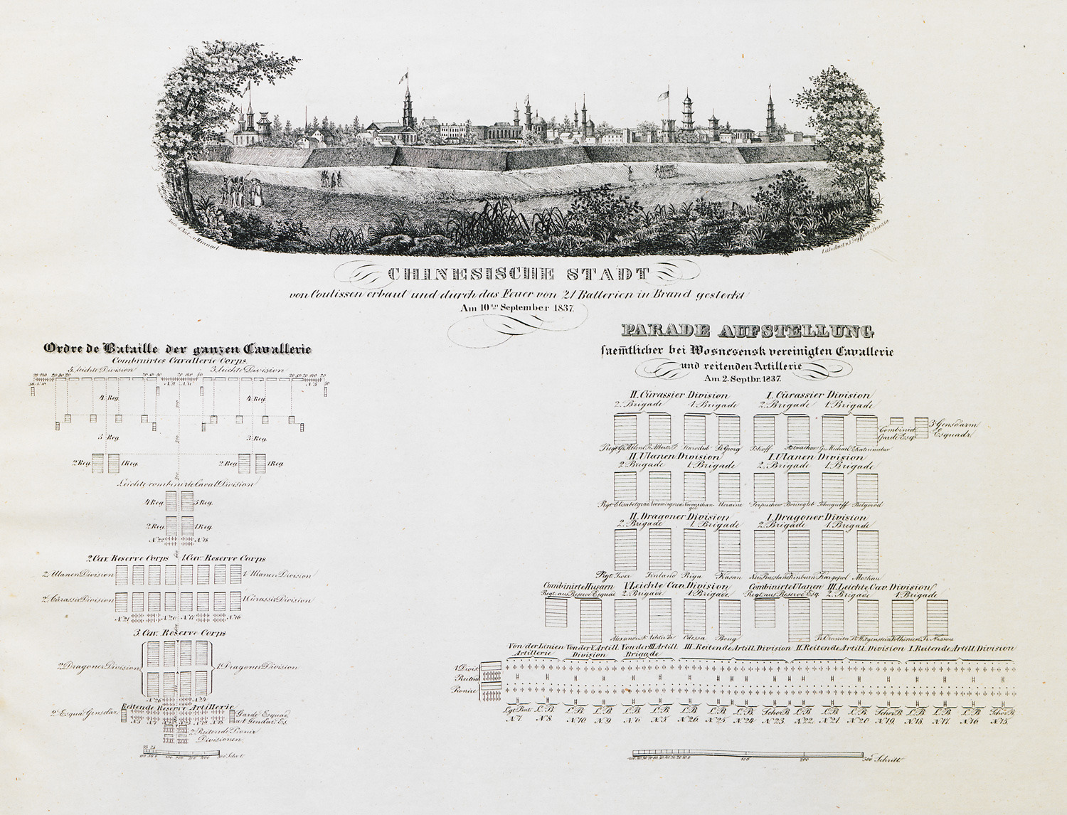
Disposition of the Russian cavalry division at Voznesensk, Uκraine, as it is being inspected by Czar Alexander I. View of Voznesensk, Ukraine. In order to better control the territories of “New Russia”, Czar Alexander I had placed an important cavalry division at Voznesensk.
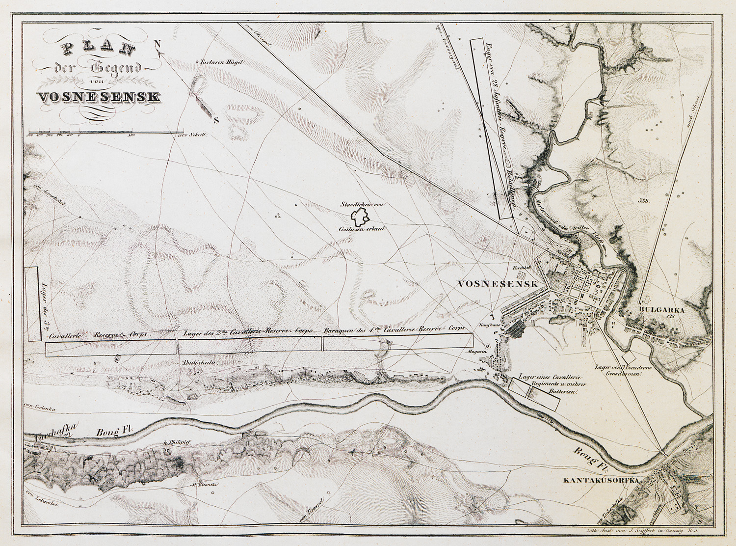
Topographical map of Voznesensk and adjacent area.
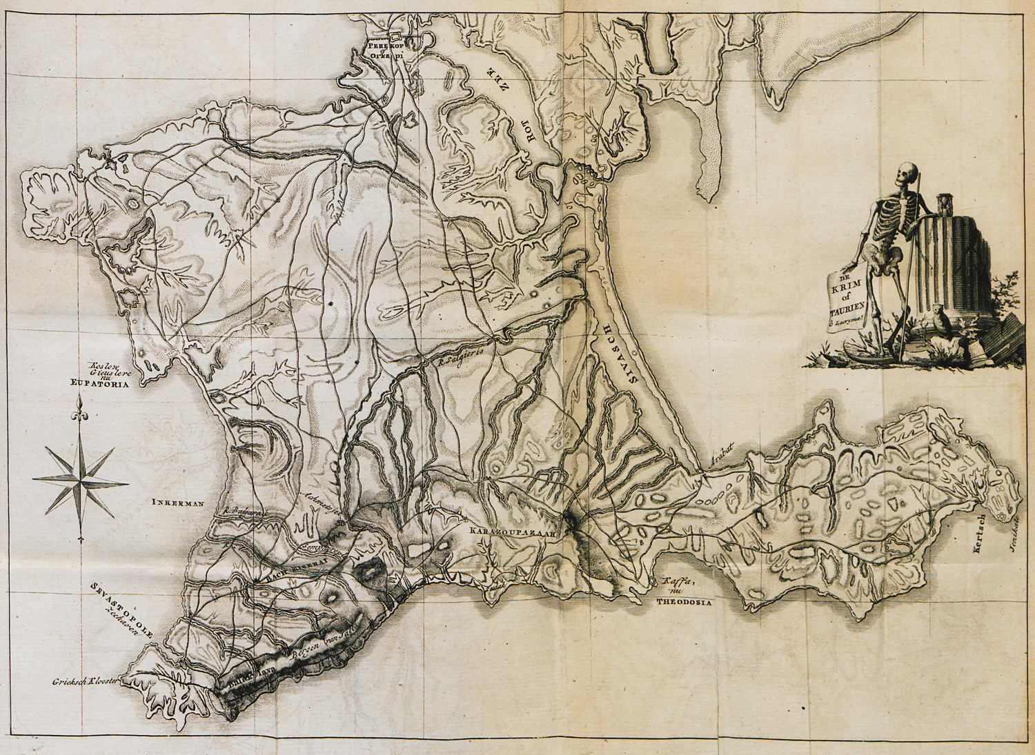
Map of Crimea.
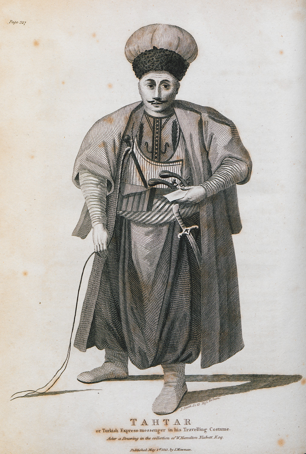
Crimean Tatar in traditional dress.
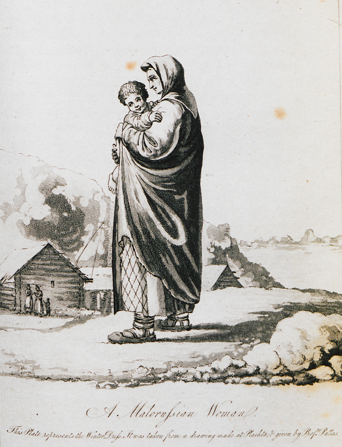
Woman from Little Russia, a historical geographic region, today part of Ukraine.
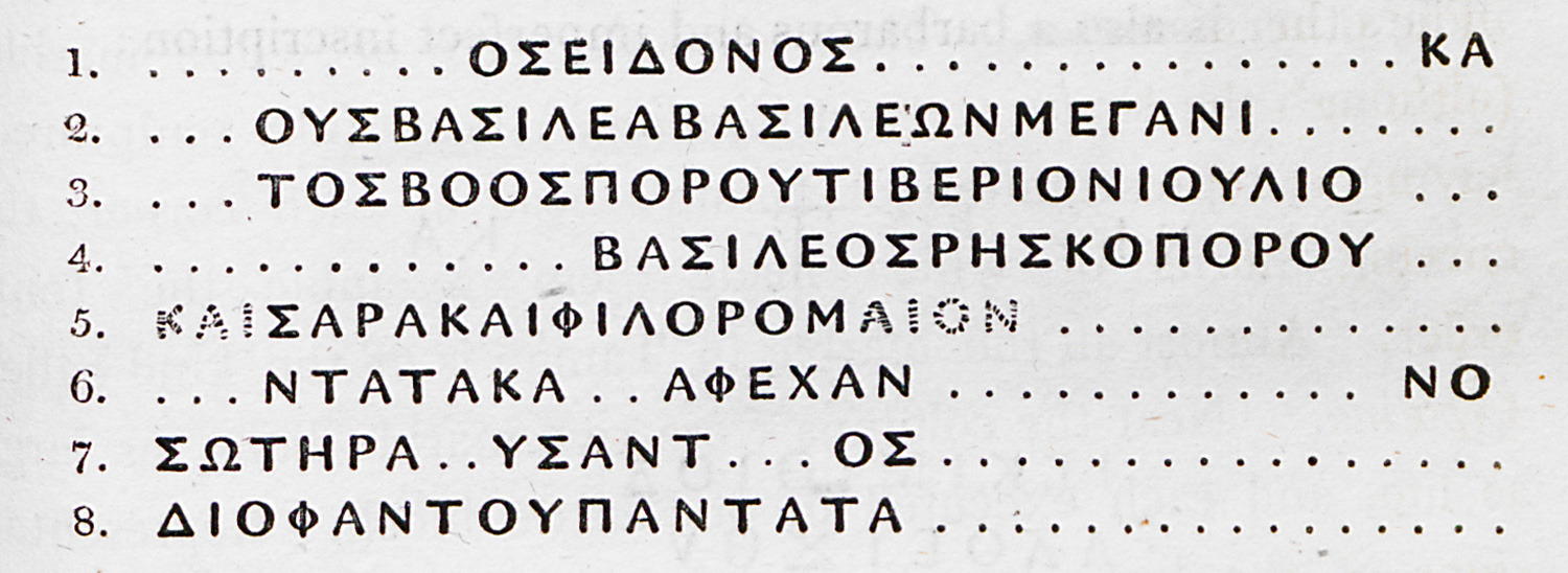
Greek inscription from Crimea peninsula.
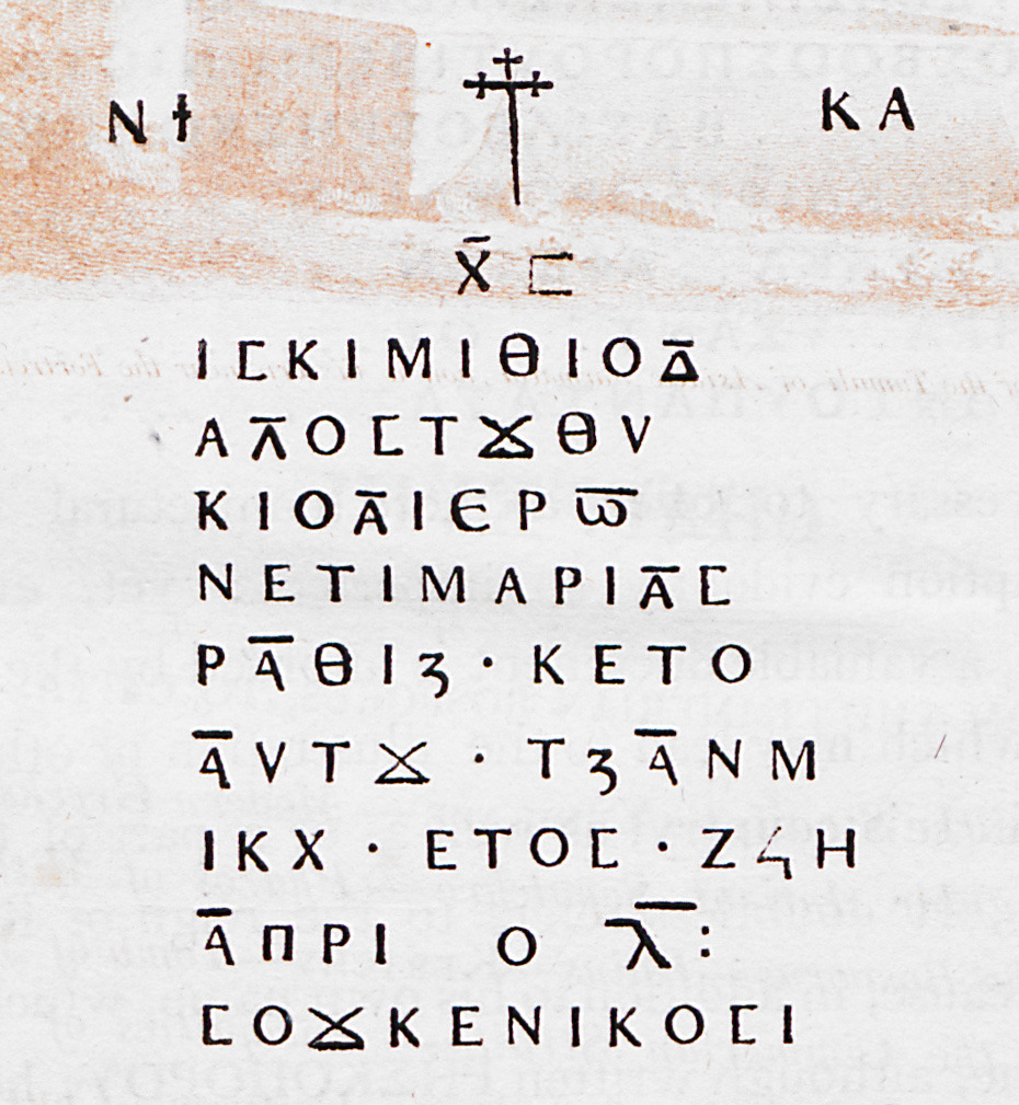
Incription of the Byzantine period from Crimea.
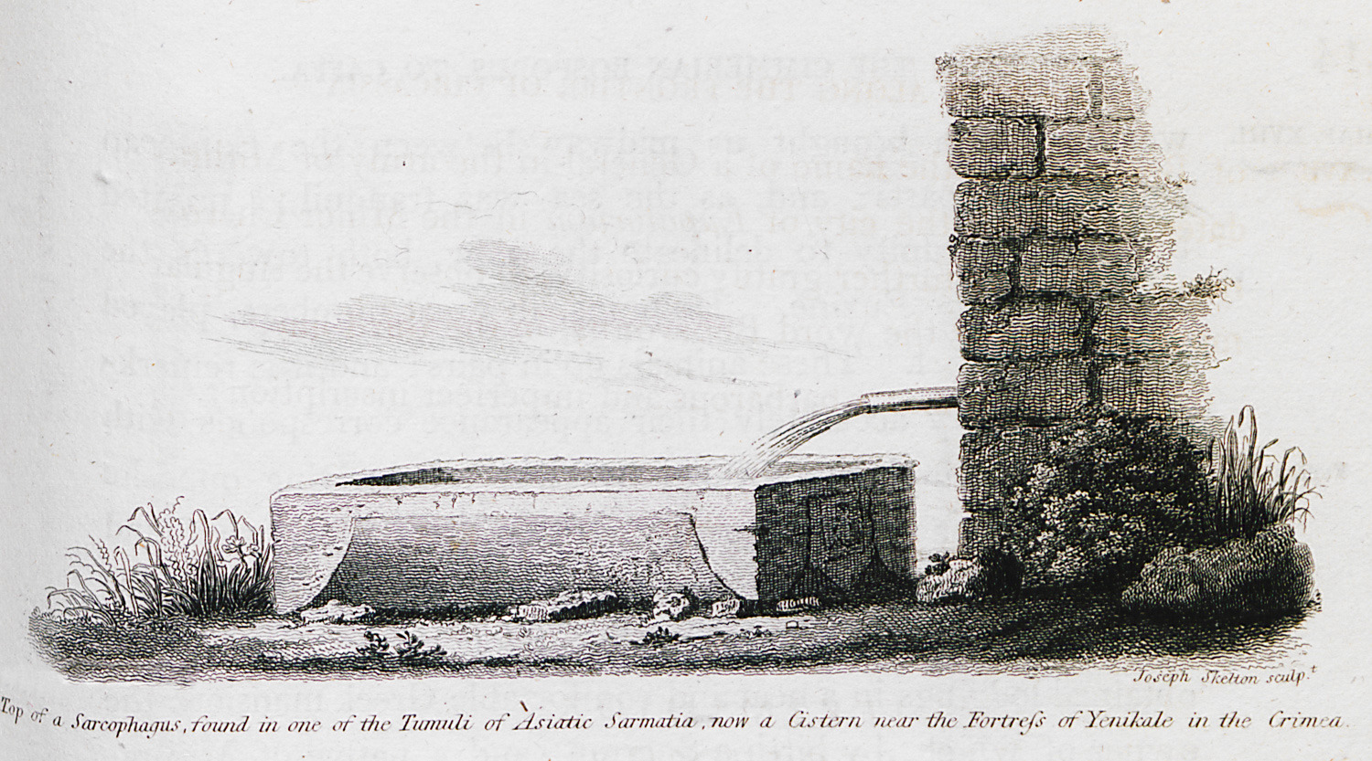
Sarcophagus from Asiatic Sarmatia (historical region west of the Caspian sea), used as a cistern, at the surroundings of Yeni Kale fortress in Crimea.
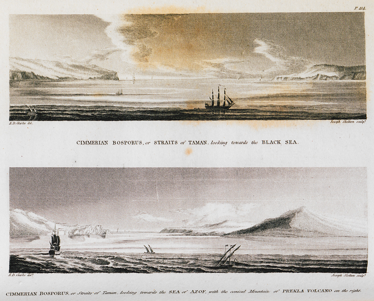
View of the Cimmerian Bosporus or Strait of Kerch (where the Black Sea joins the Sea of Azov). On the bottom right, Taman volcano, surnamed Prekla (hell) by the locals.
Coins of the kingdom of Cimmerian Bosporus (southern and eastern shores of the Sea of Azov), in the author's collection.
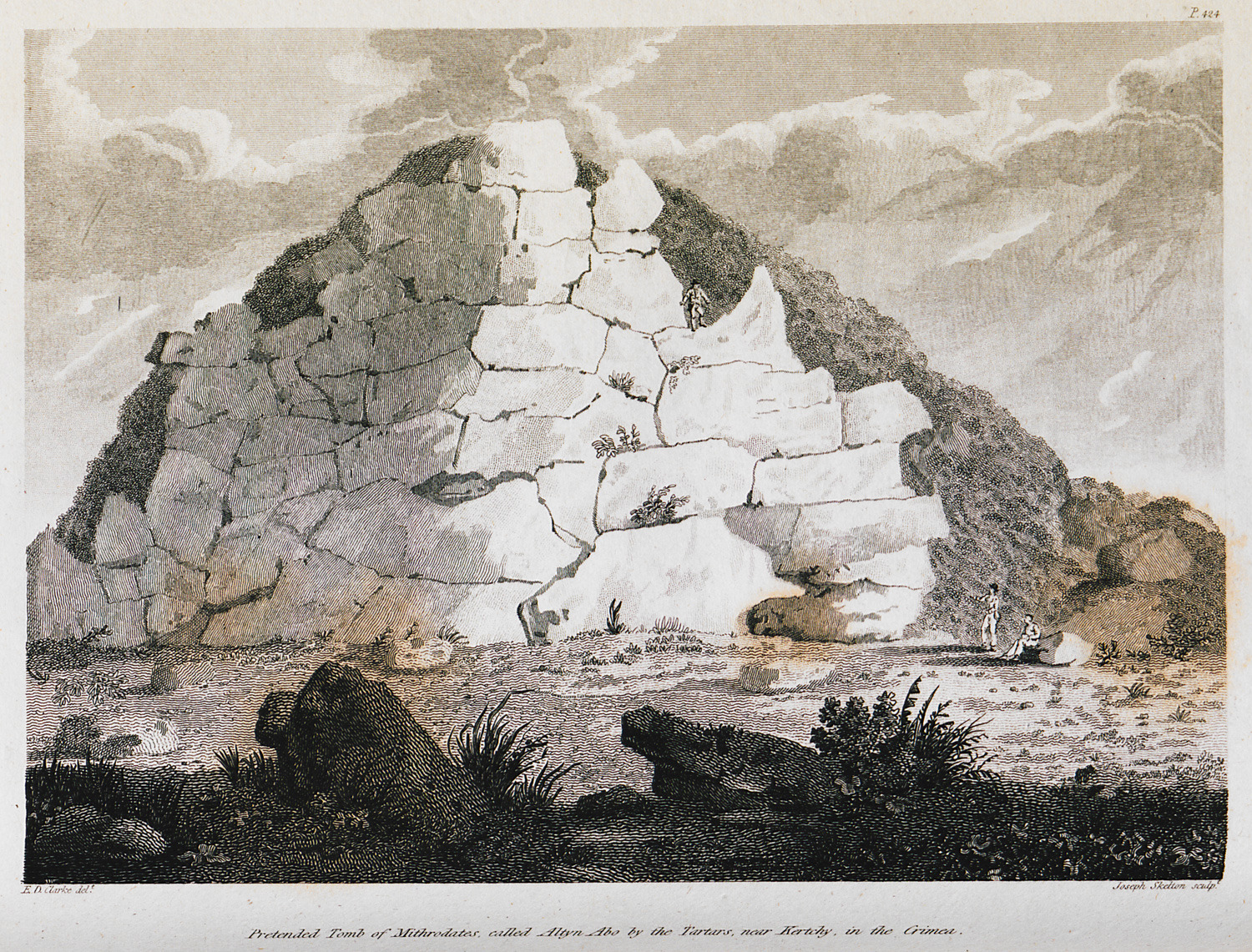
The putative tomb of Mithridates at Kerch, Crimea.


