Bozcaada / Tenedos (26 Subjects)
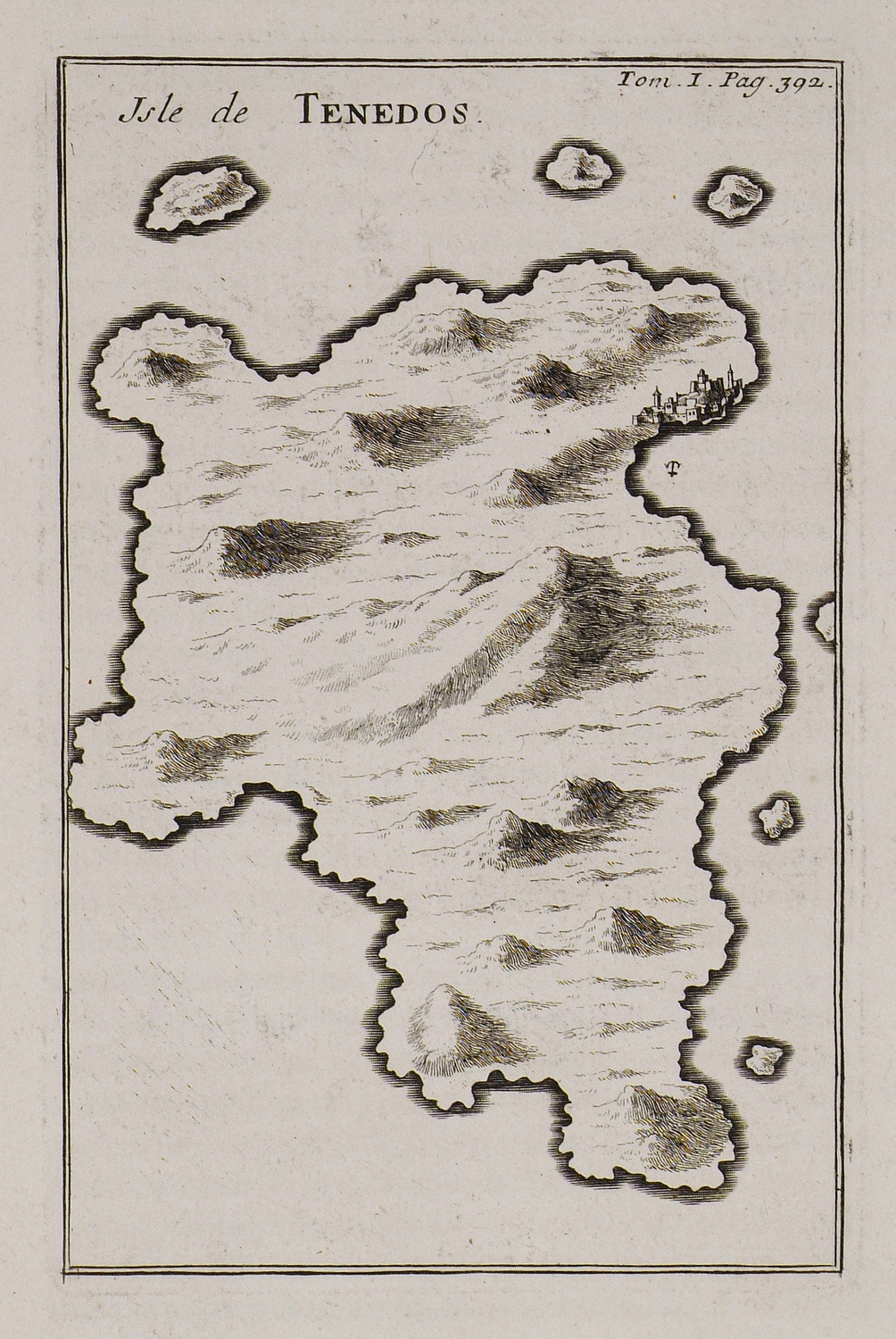
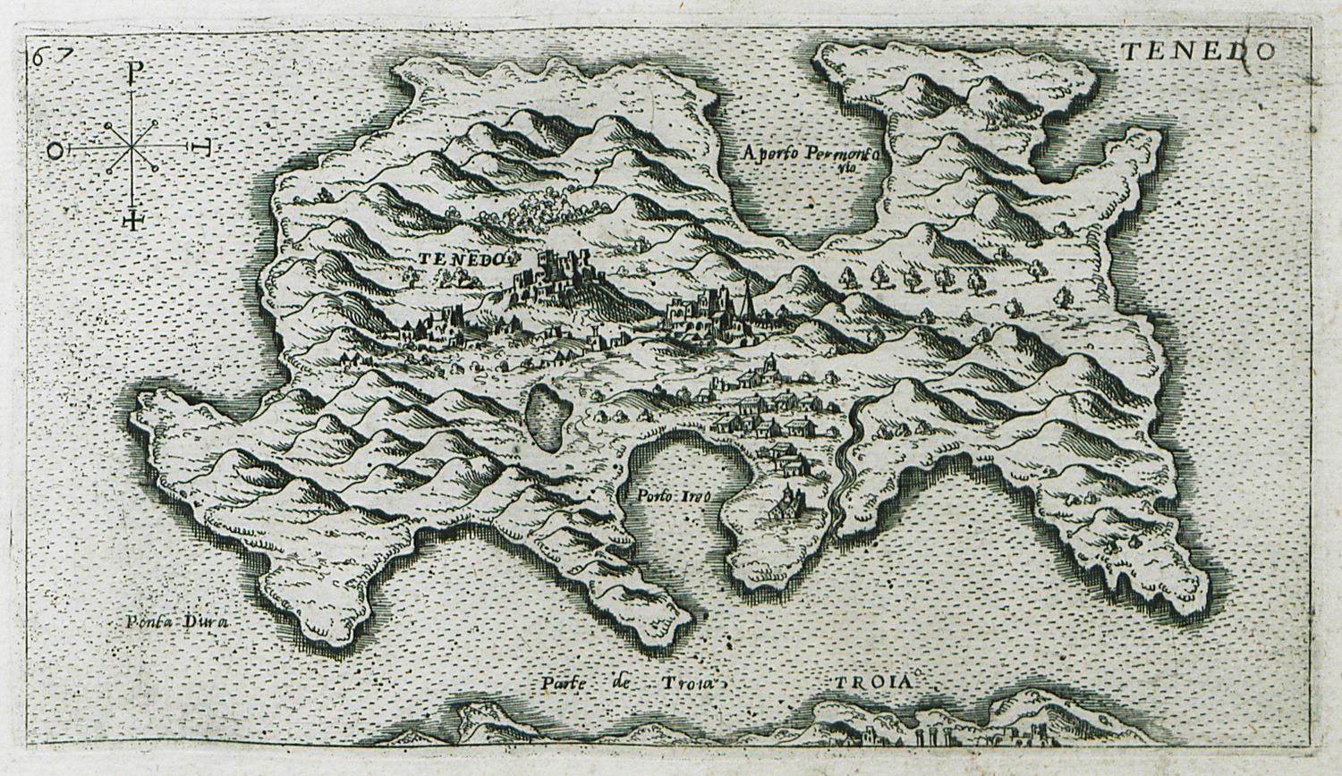
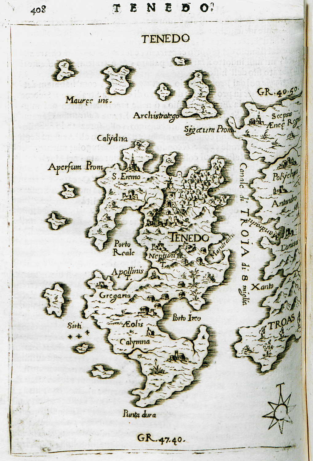
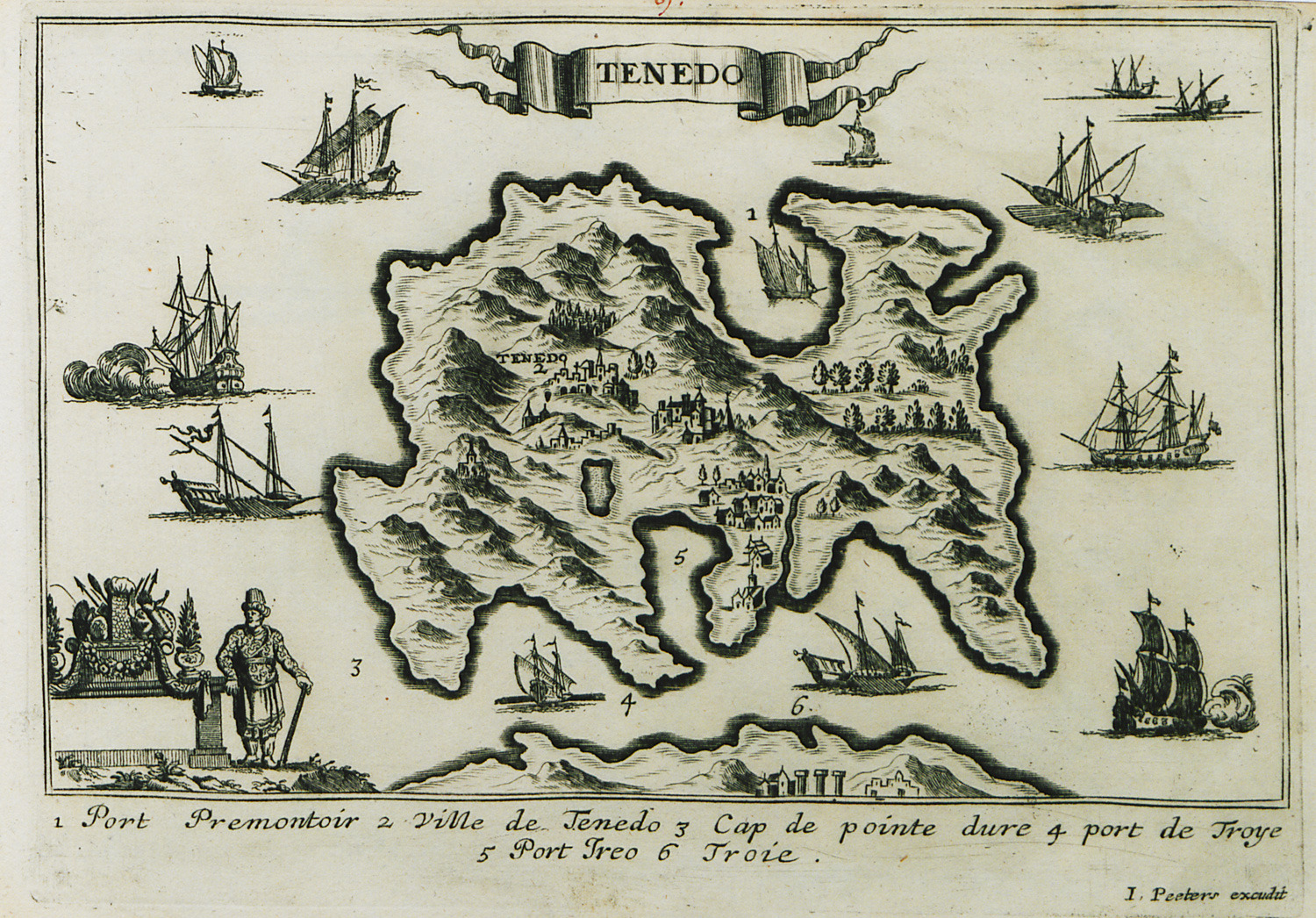
Map of Tenedos.
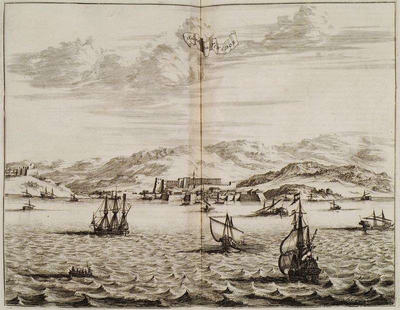
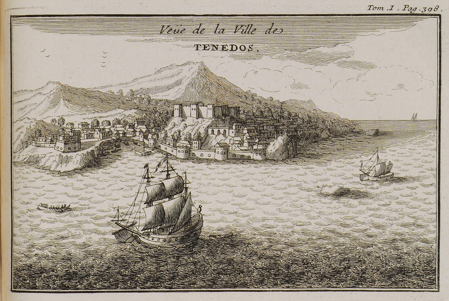
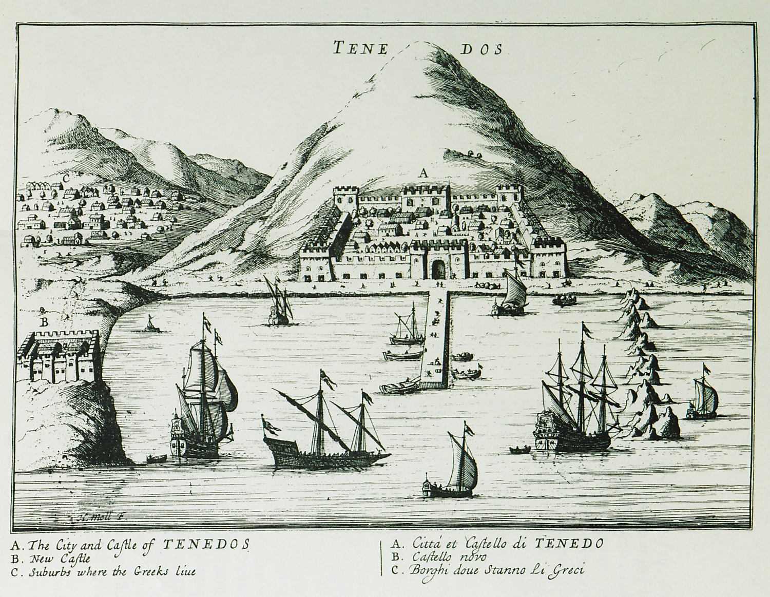
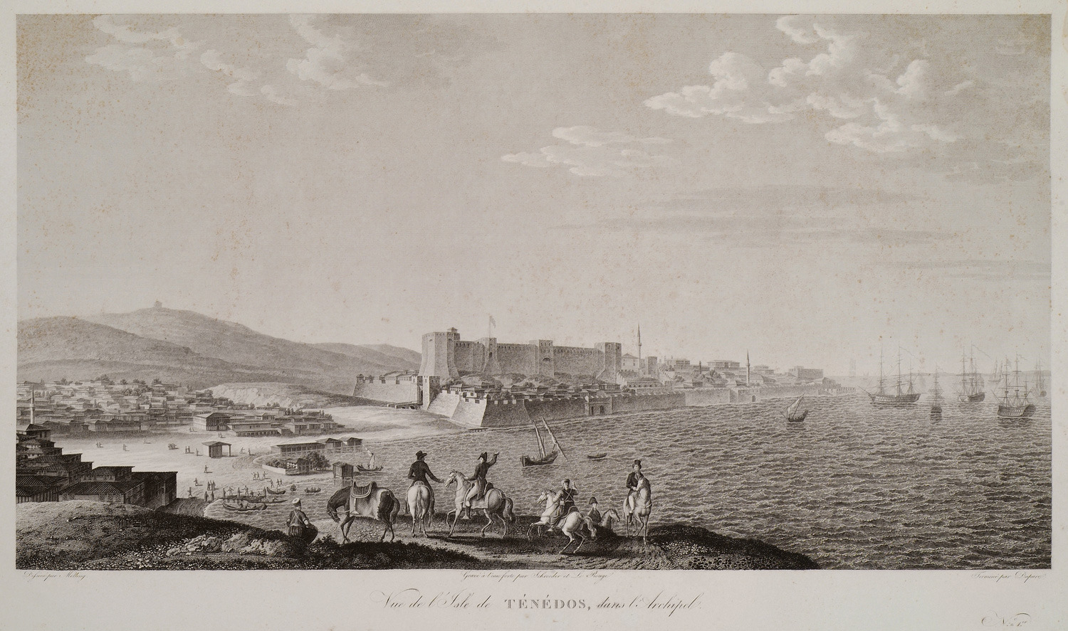
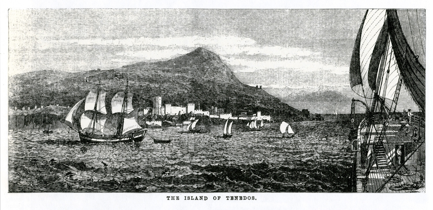
View of the port of Tenedos.
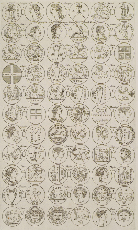
Ancient coins of the Aegean islands.
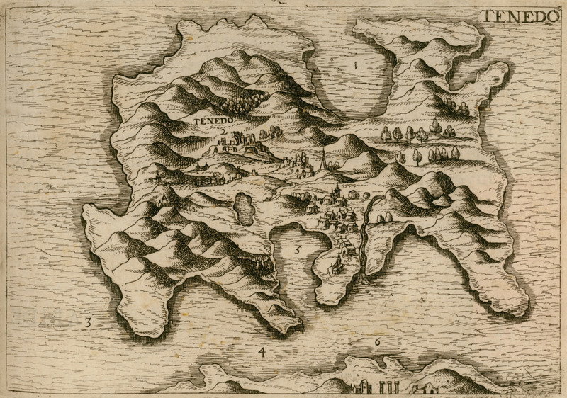
Map of Tenedos.
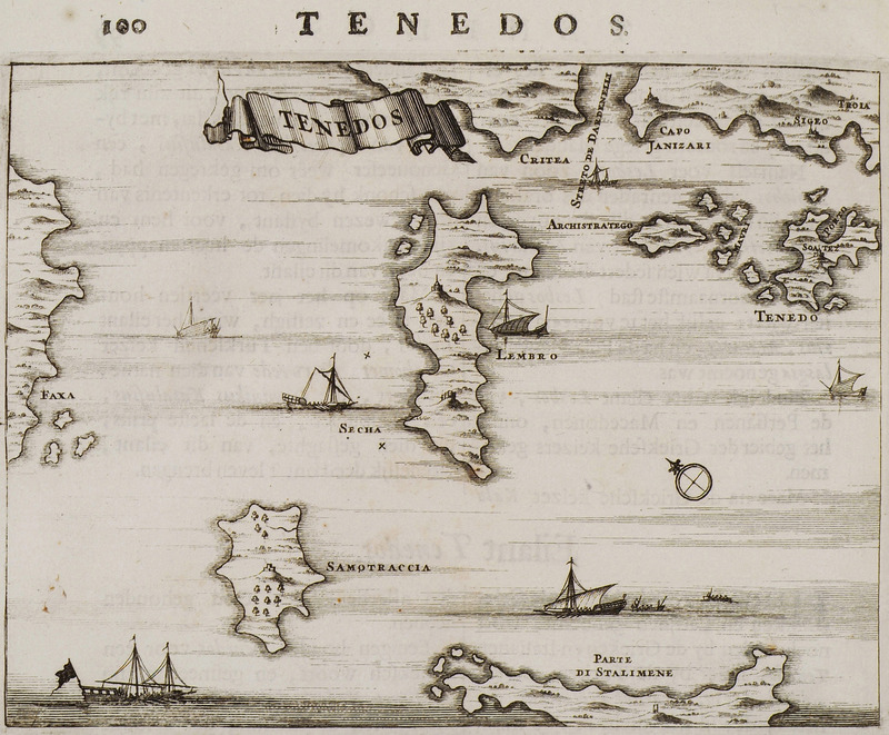
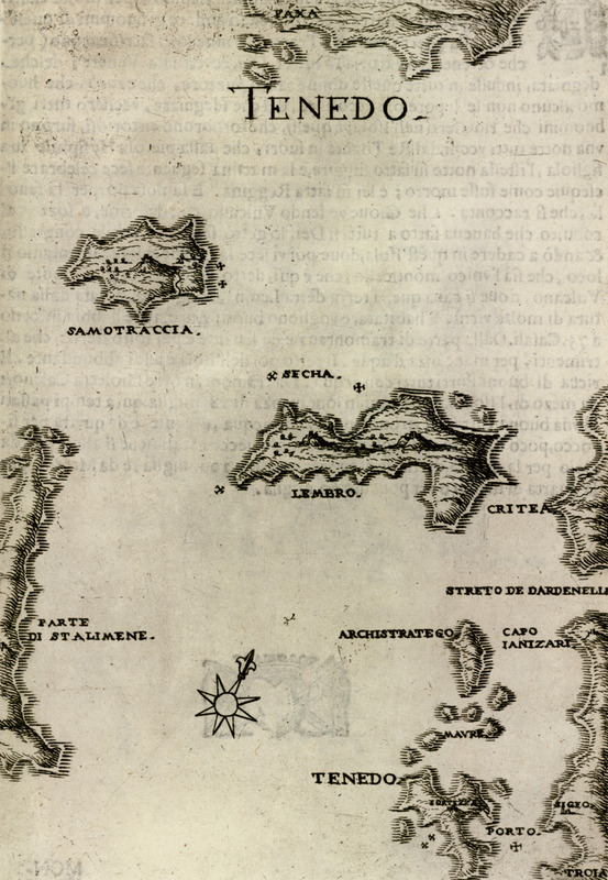
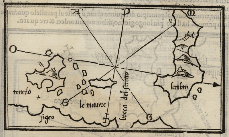
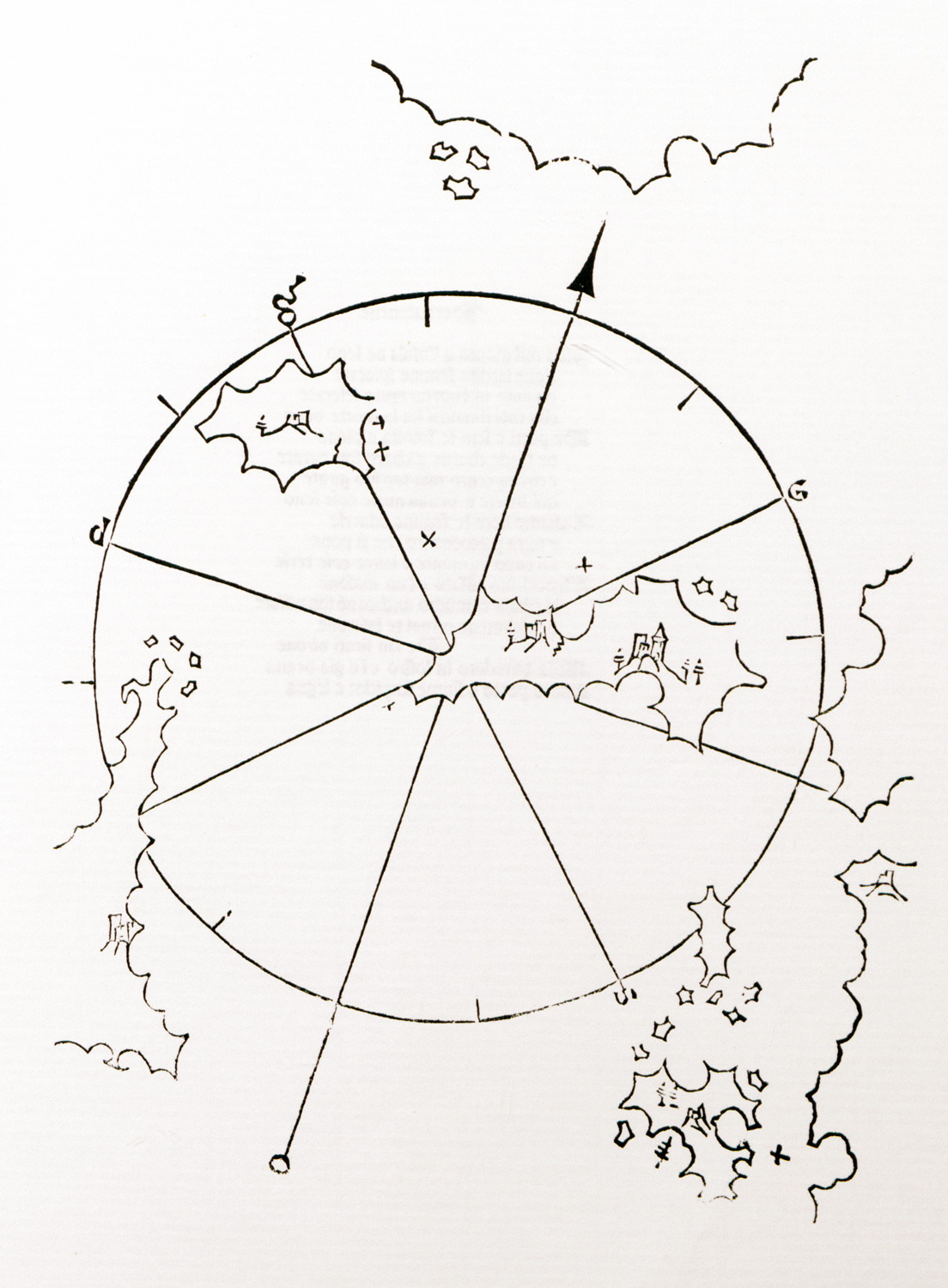
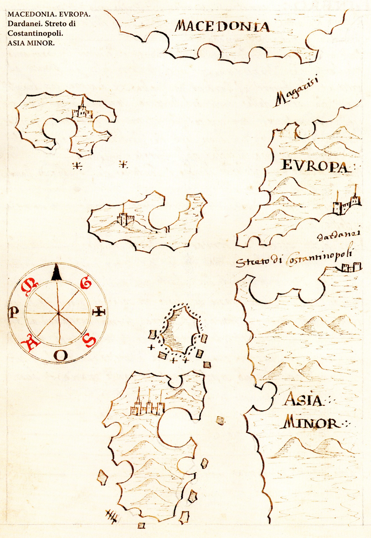
Map of Bozcaada (Tenedos) Gökçeada (Imbros) and Samothrace.
Map of Gökçeada (Imbros) and Bozcaada (Tenedos) islands.
Map of Bozcaada (Tenedos).
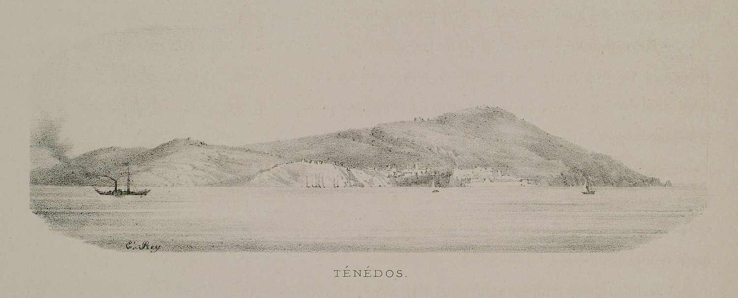
View of Bozcaada (Tenedos).
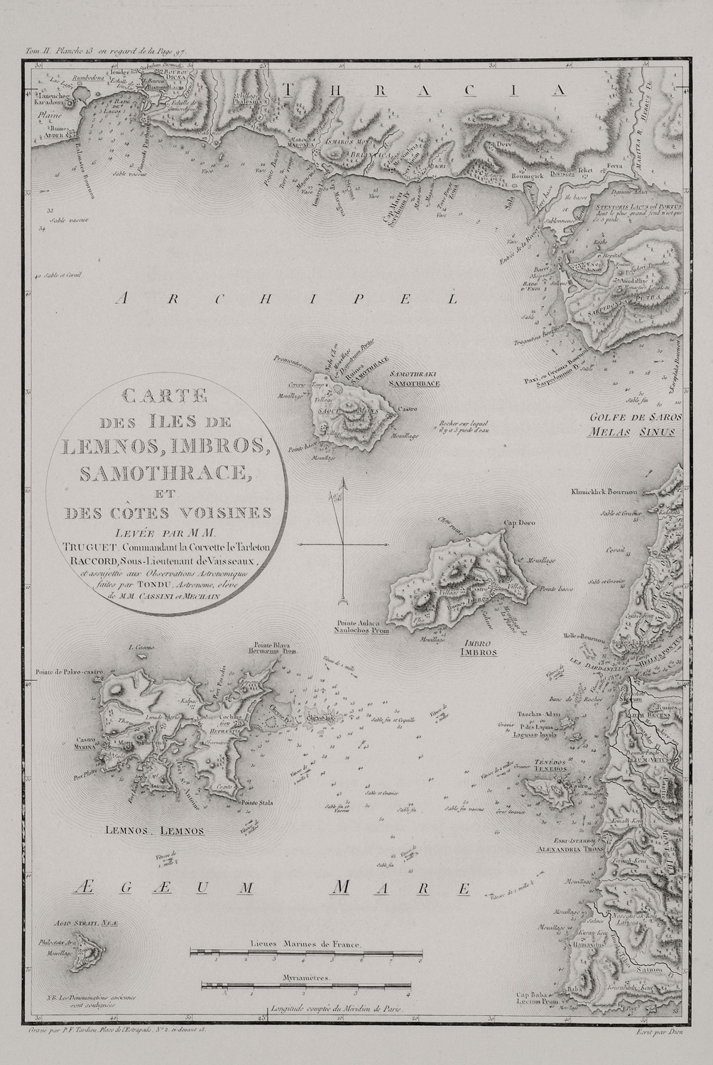
Map of Lemnos, Imbros, Samothrace, Tenedos and Agios Efstratios, together with the adjacent coasts of Thrace and Asia Minor, accordingly.
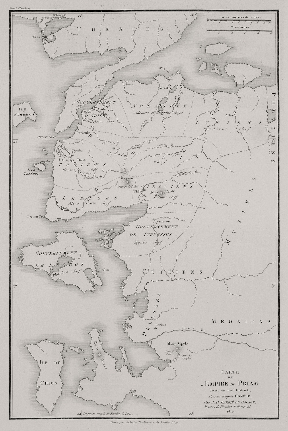
Map of the Kingdom of Priam, king of Troy.
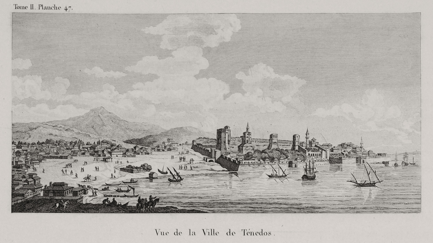
View of Tenedos (Bozcaada).
View of Tenedos (Bozcaada).
View of Tenedos (Bozcaada).
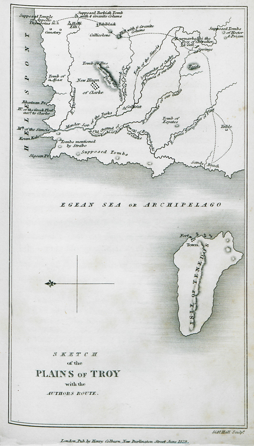
Map of Troad with the author's route.
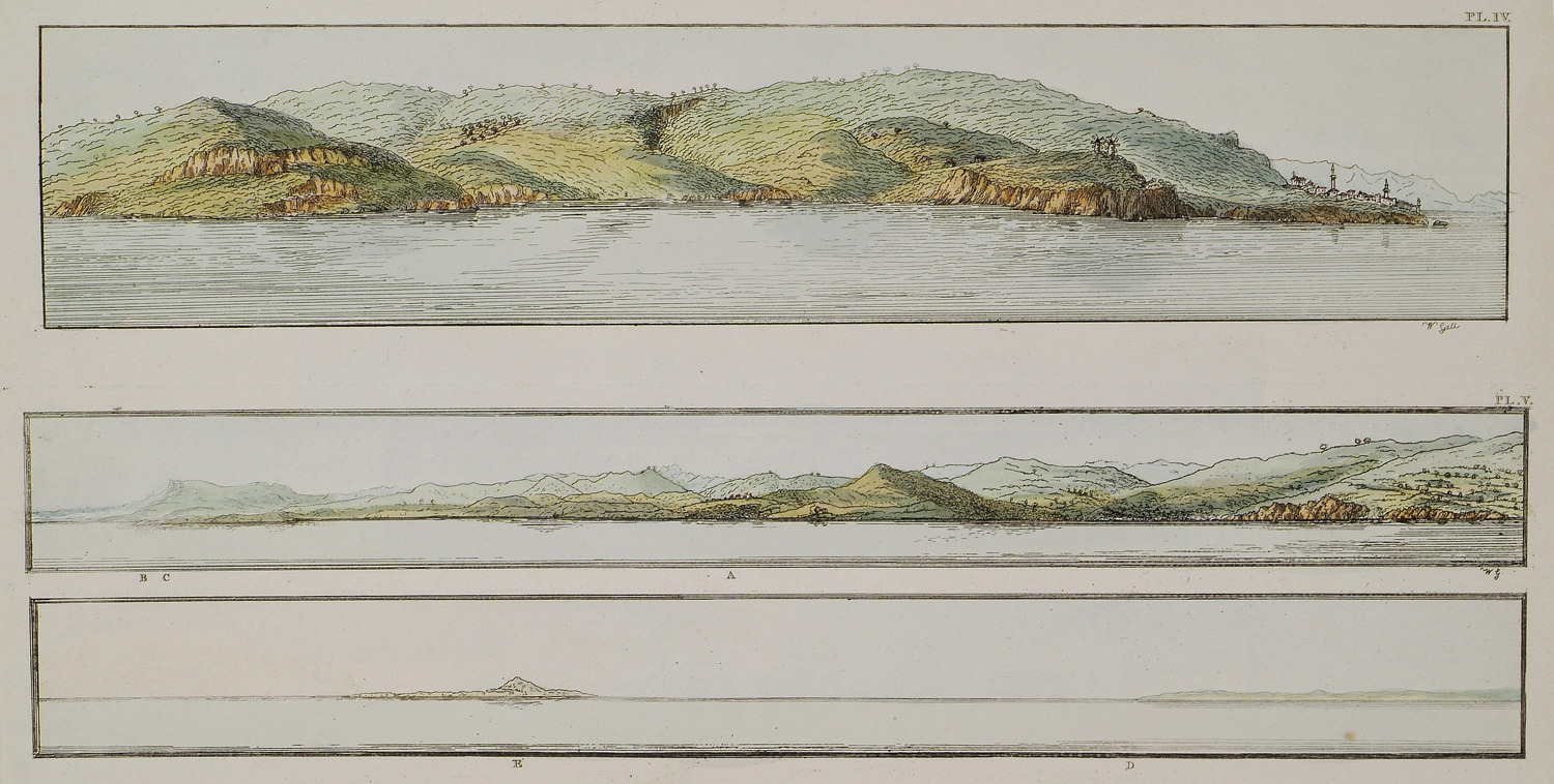
4.View of the village Babakale at Cape Baba, in the Troad. 5. Landscape near the Cape Eski Stambul in the Troad. The author notes the sites of Alexandria Troad (C) και Tenedos island (E).
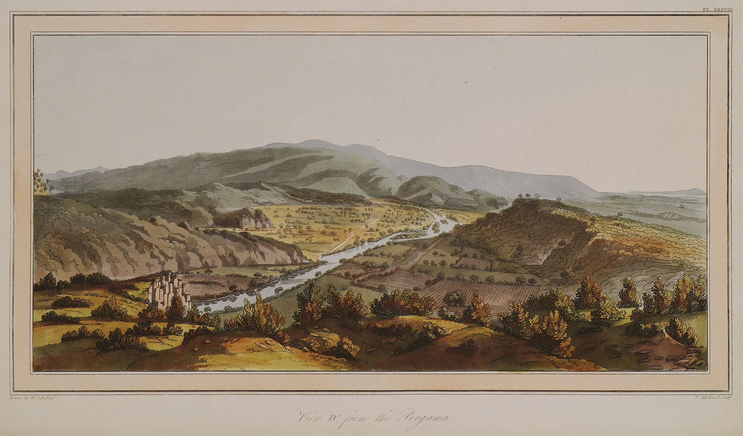
West view of Bunarbaşı, village, erroneously identified in the nineteenth-century with Troy. In the background the island of Tenedos.
View of Tenedos (Bozcaada).
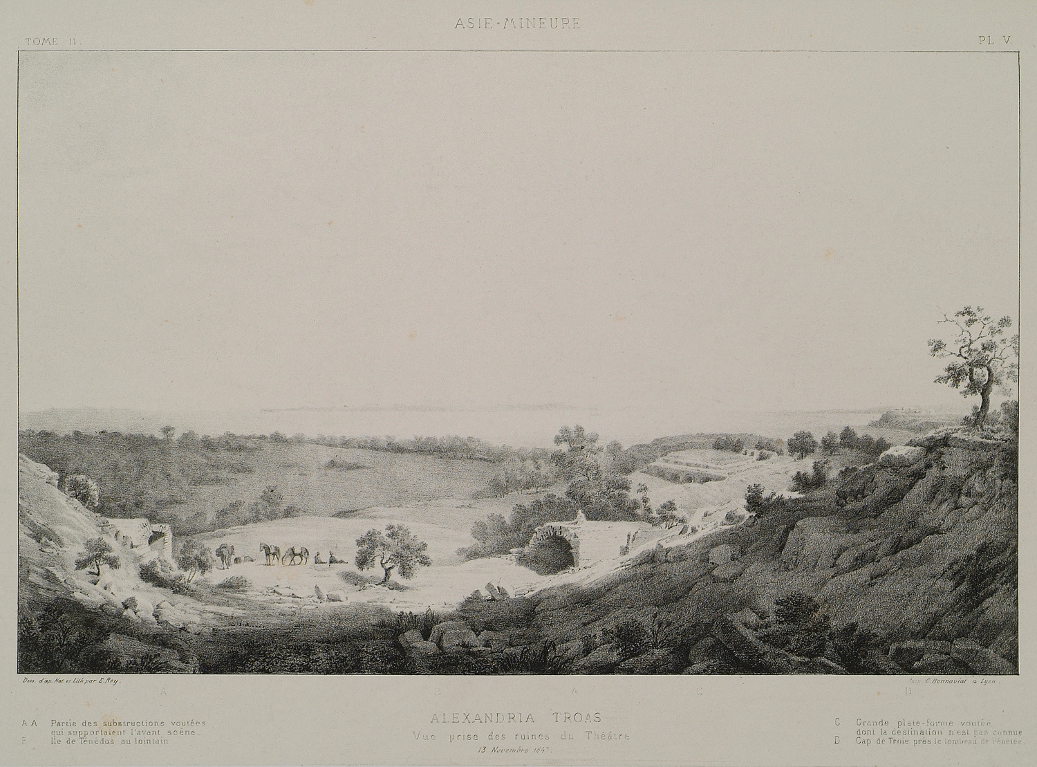
View of the ruins of Alexandria Troas (today Eski Stambul). In the background Tenedos (Bozcaada) island.
Map of Bozcaada (Tenedos).
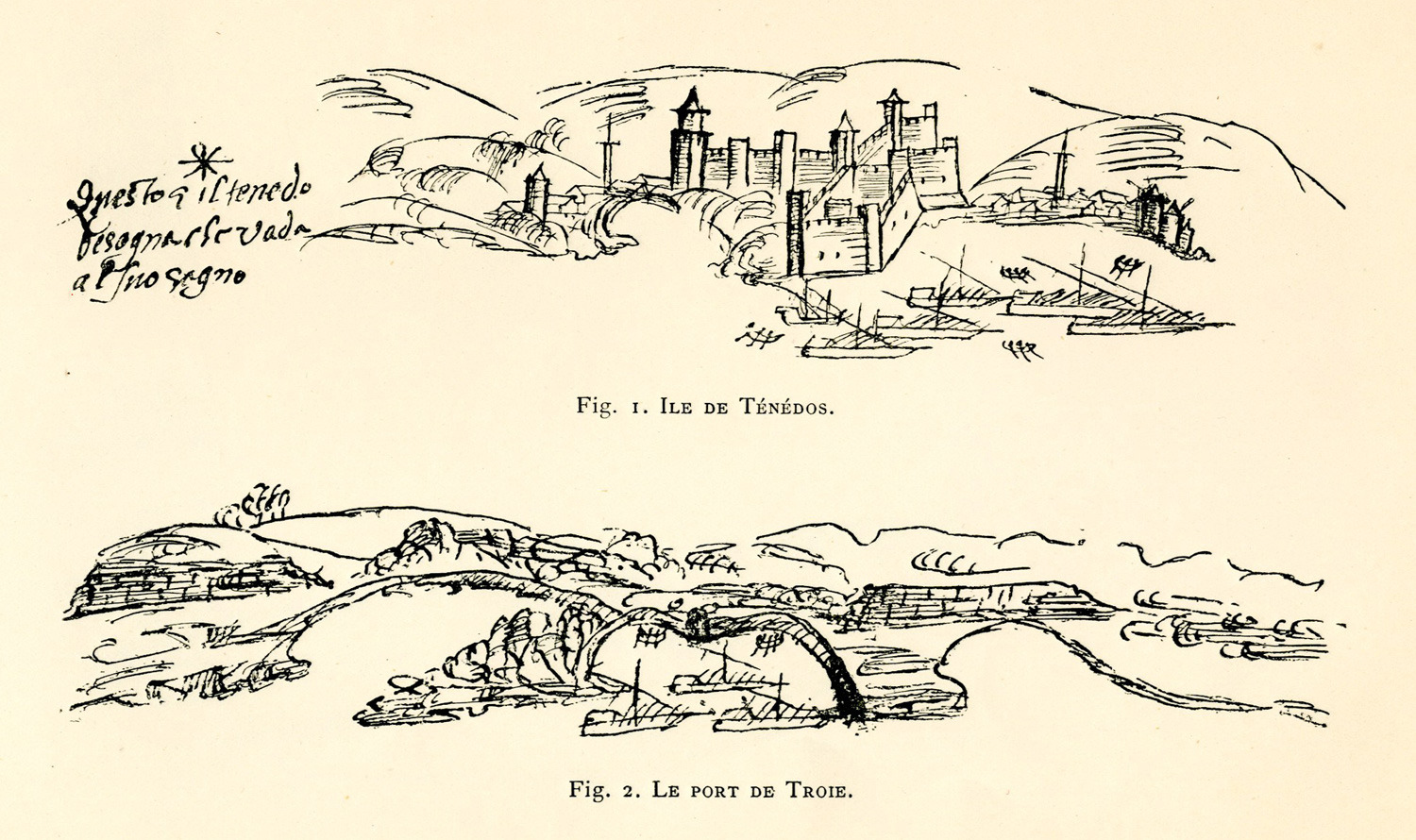
Fig. 1. View of Tenedos (Bozcaada). Fig. 2. View of the Dardanelles.
Map of Bozcaada (Tenedos).
Map of Bozcaada (Tenedos) island.
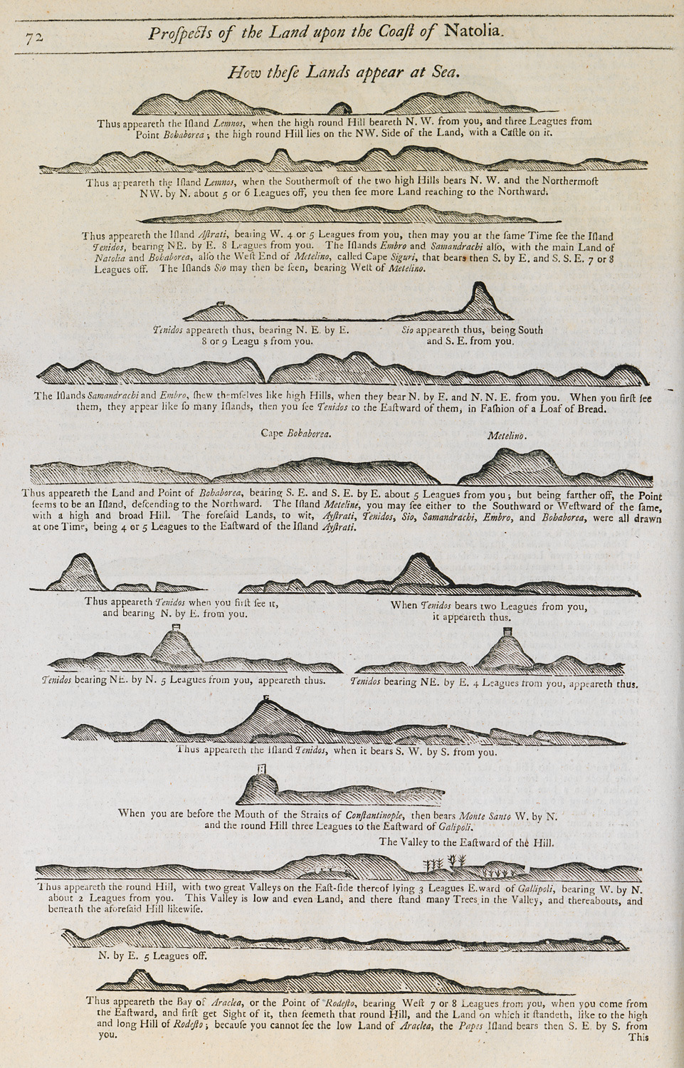
Outline of the coasts of Lemnos, Lesbos and Bozcaada (Tenedos) islands and the coast of eastern Thrace as seen from the sea.
Map of Tenedos island.
Map of the Dardanelles, together with Lesbos, Tenedos, Imbros and Thasos islands.
Tenedos island, 1863.


