ROUX, Joseph
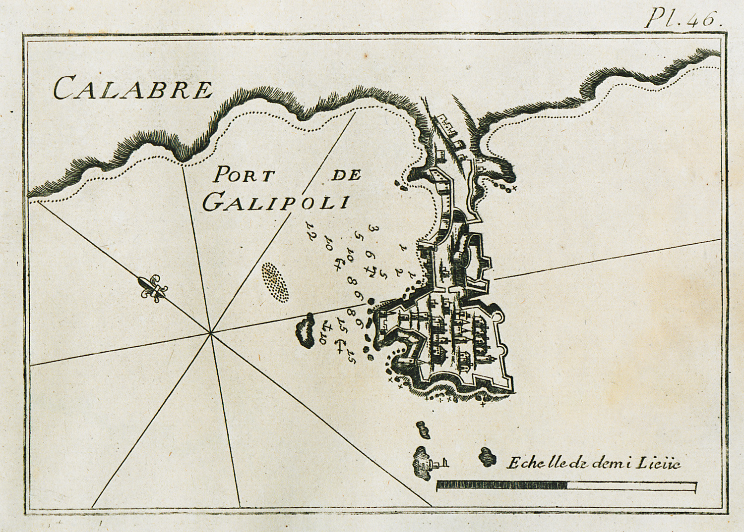
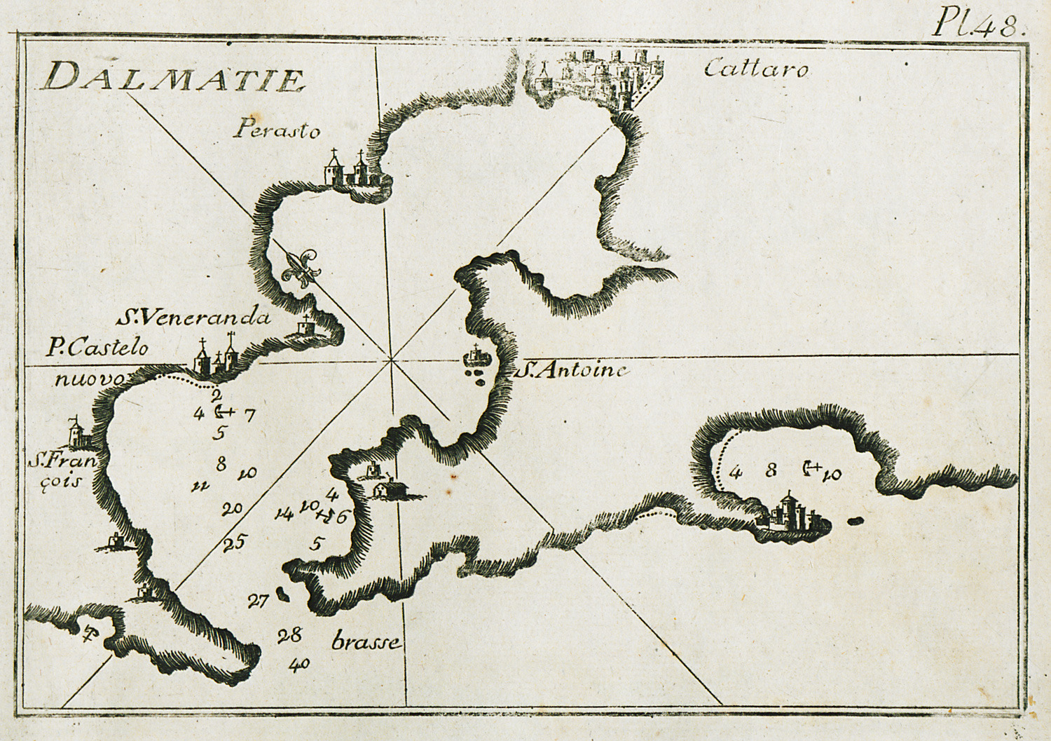
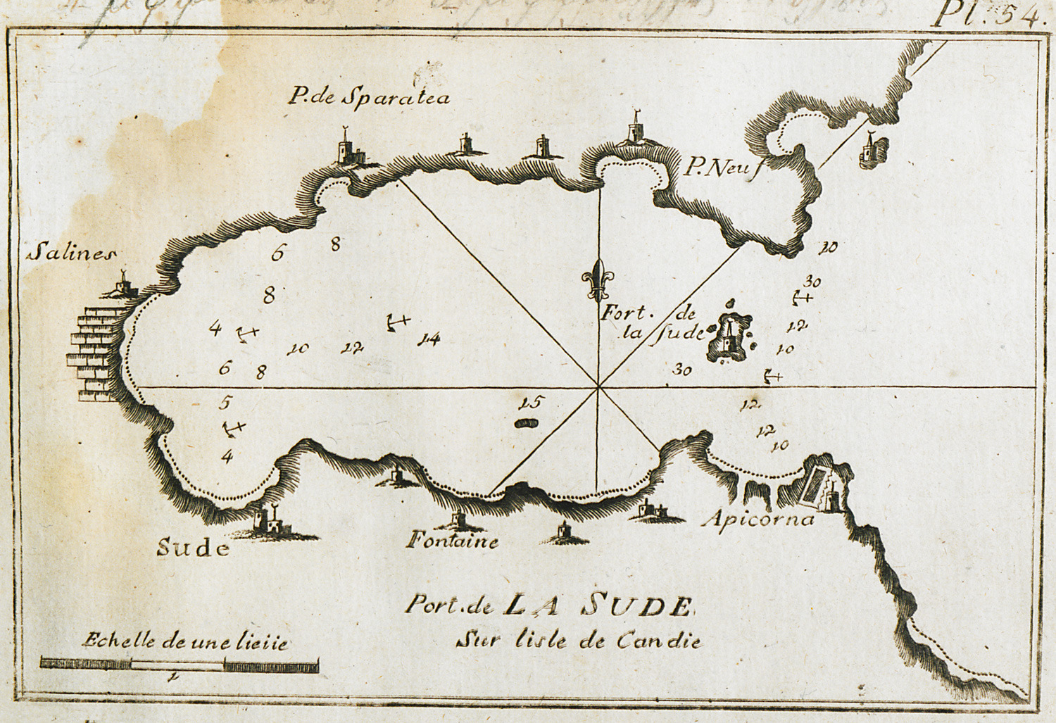
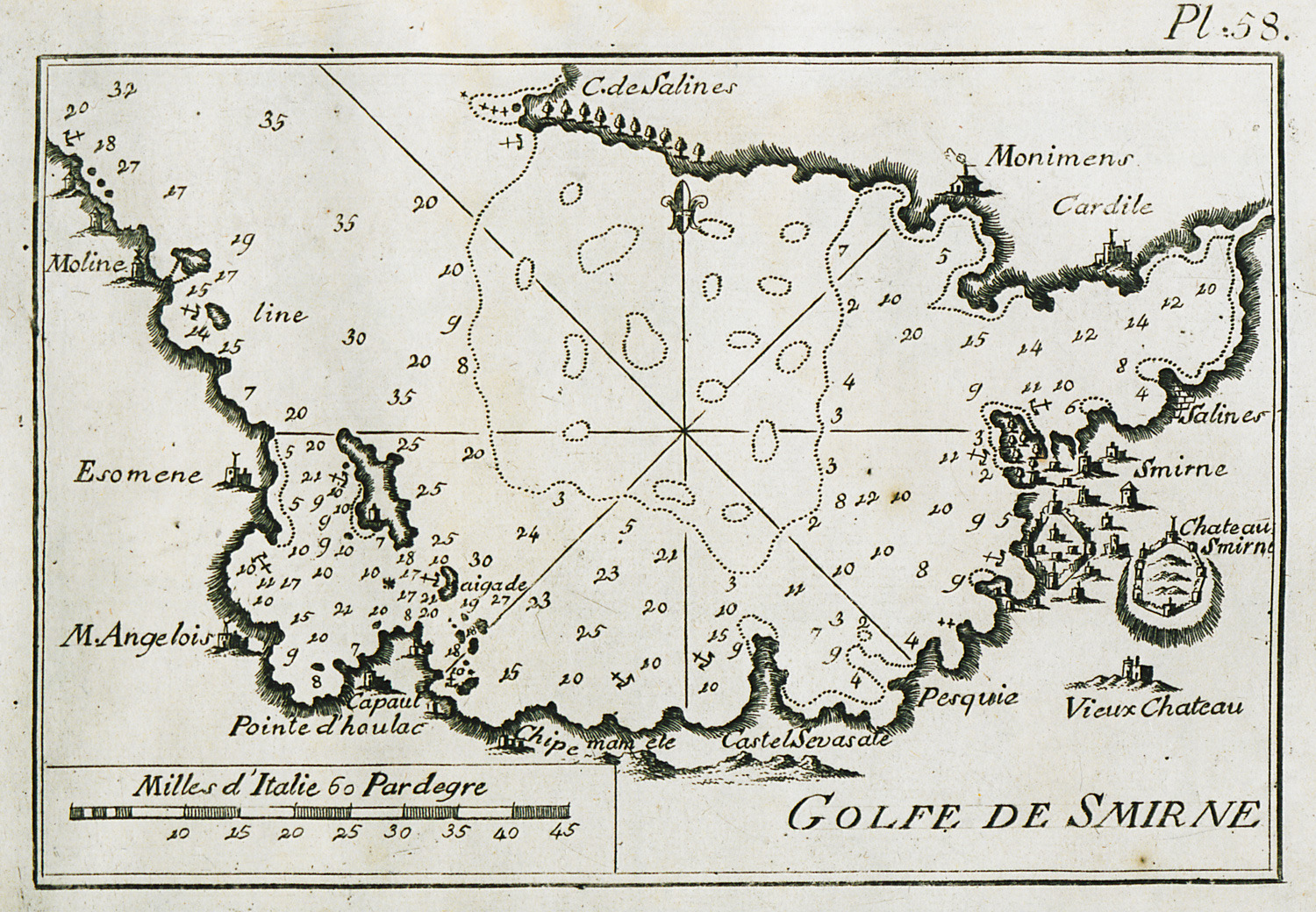
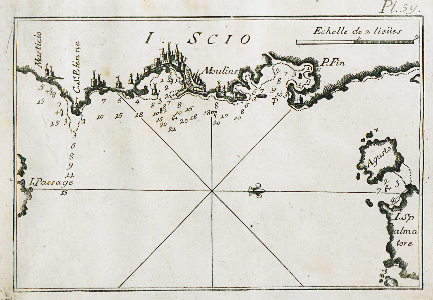
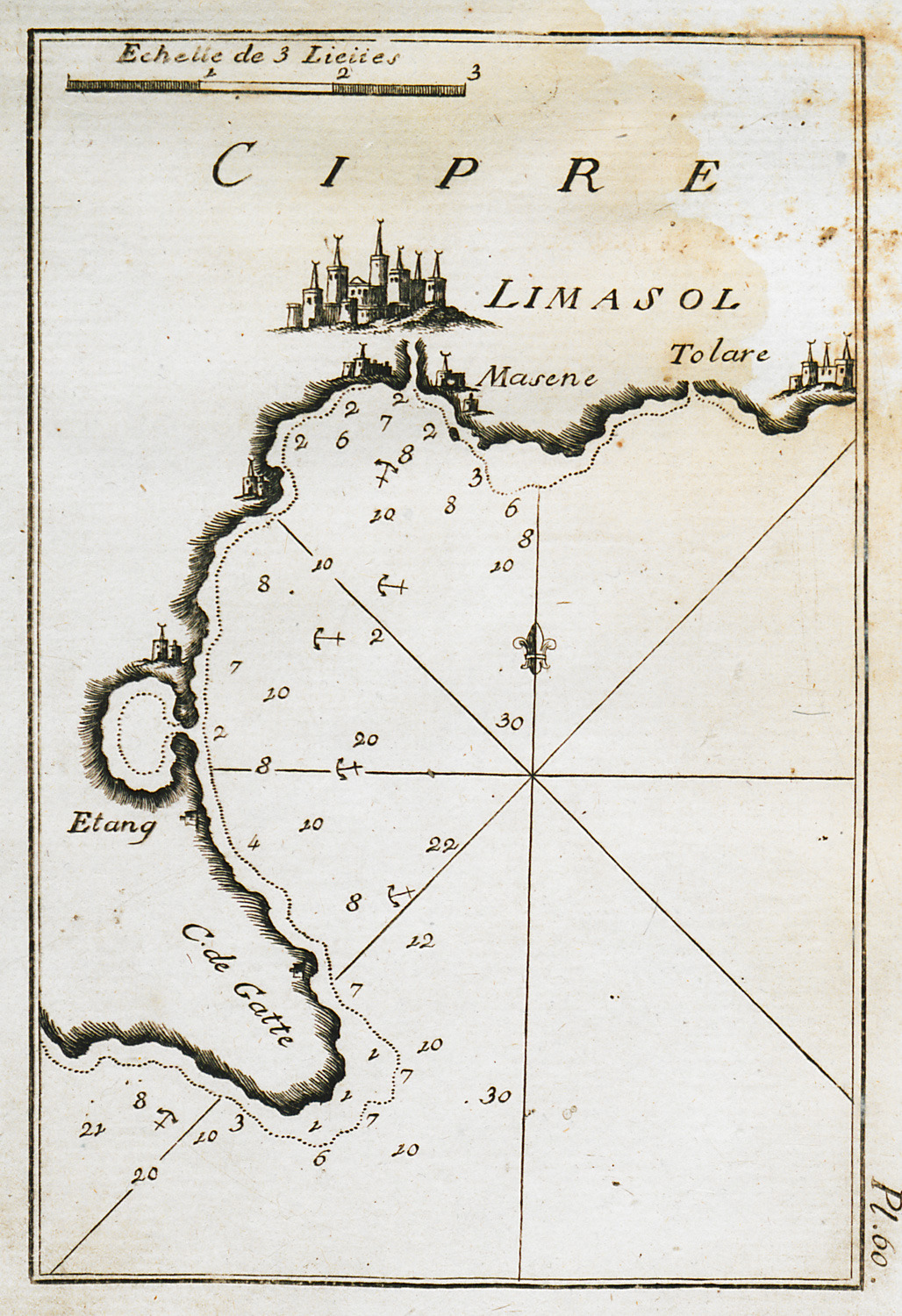
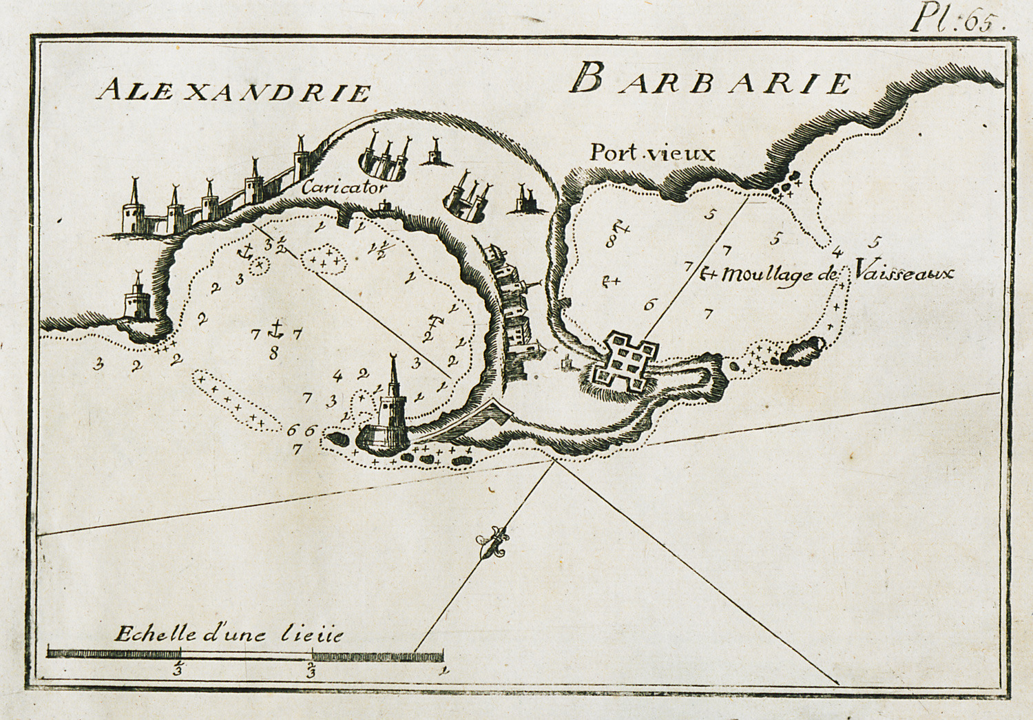
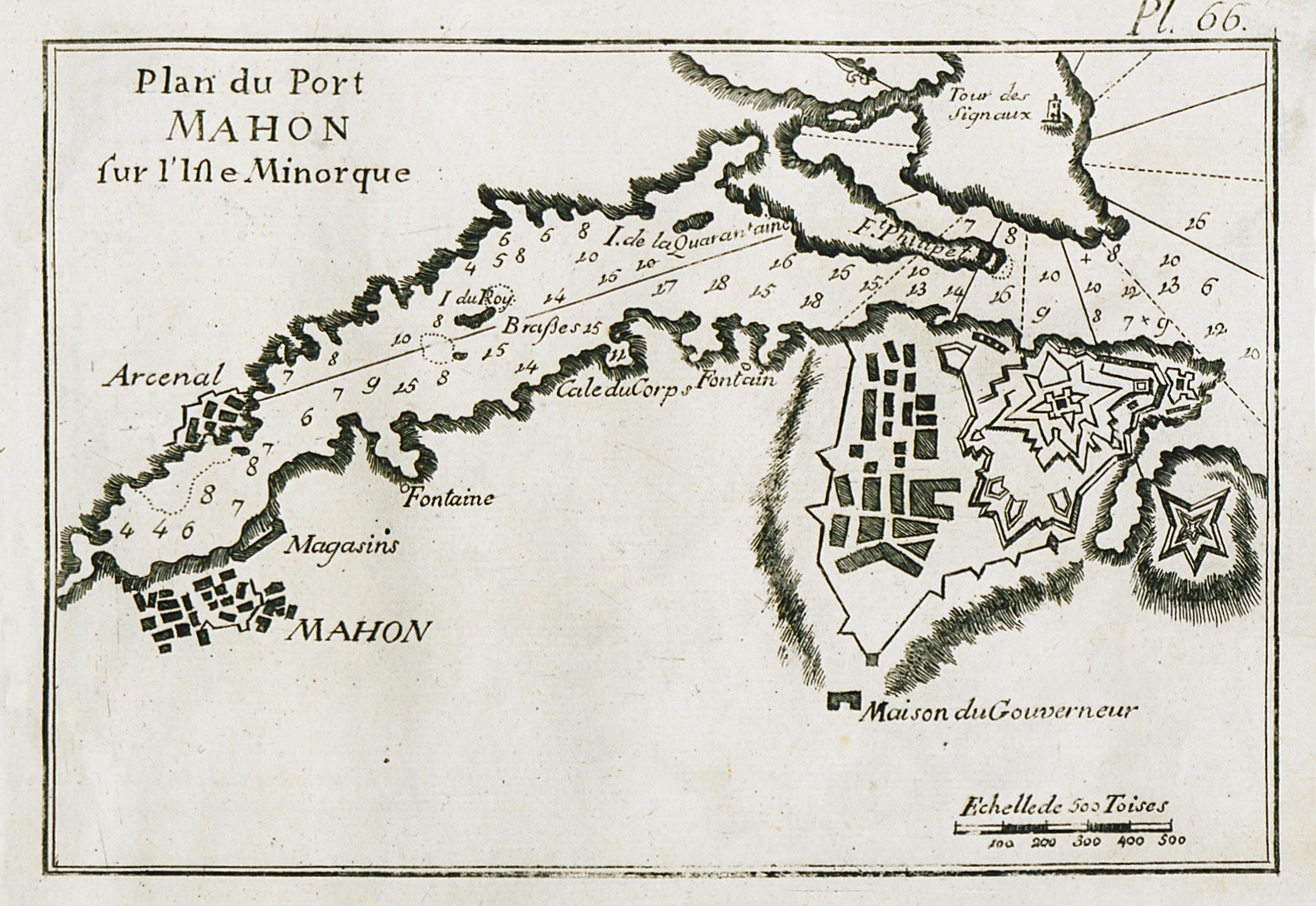
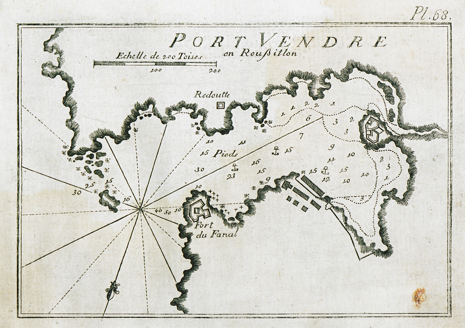
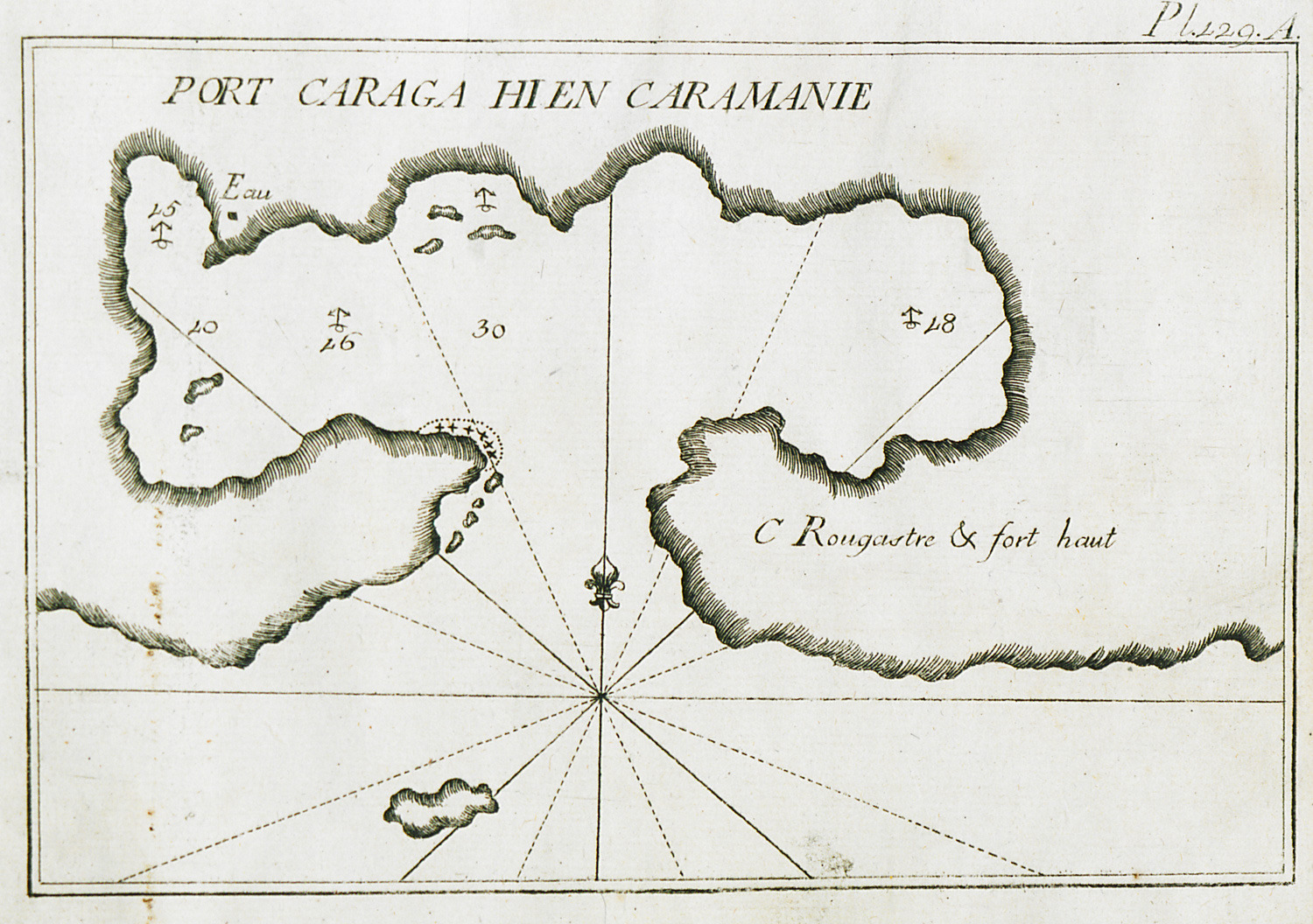
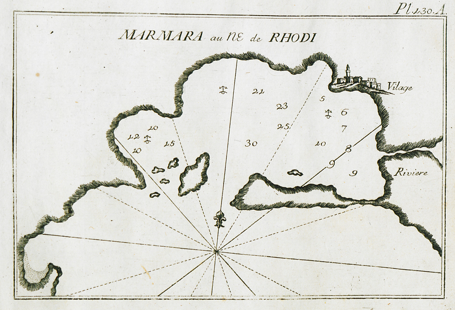
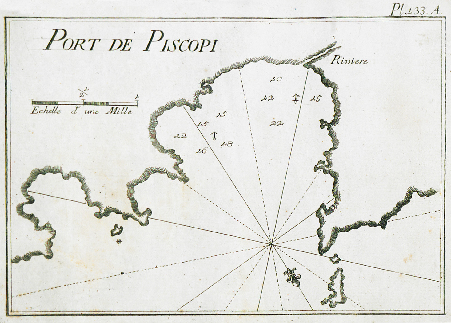
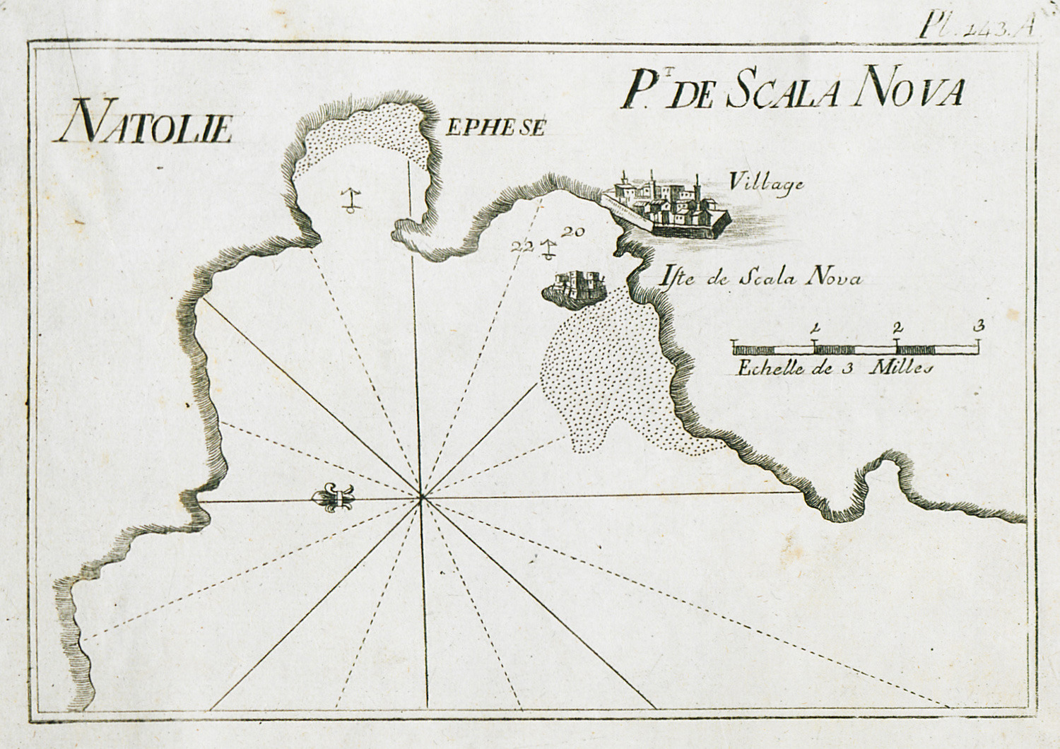
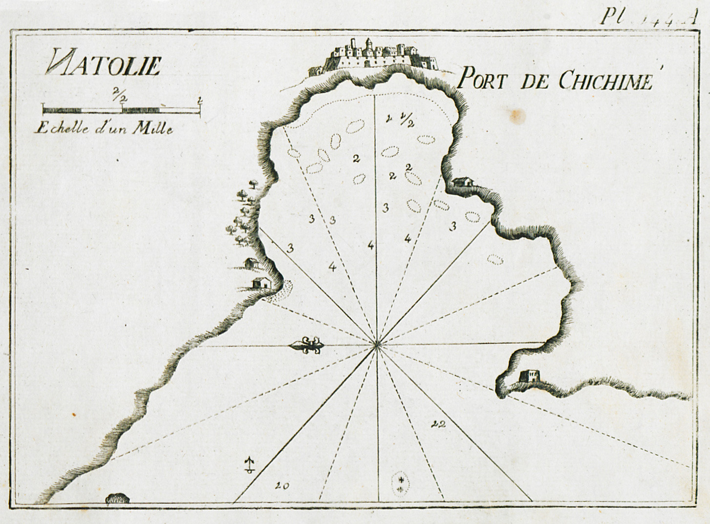
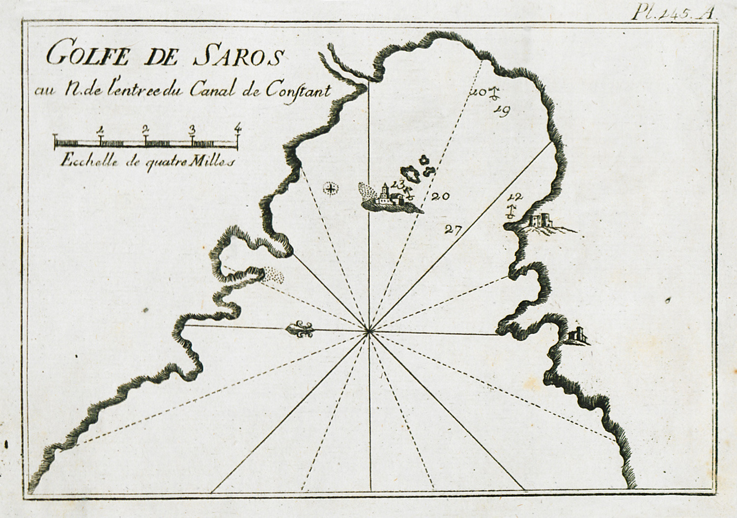
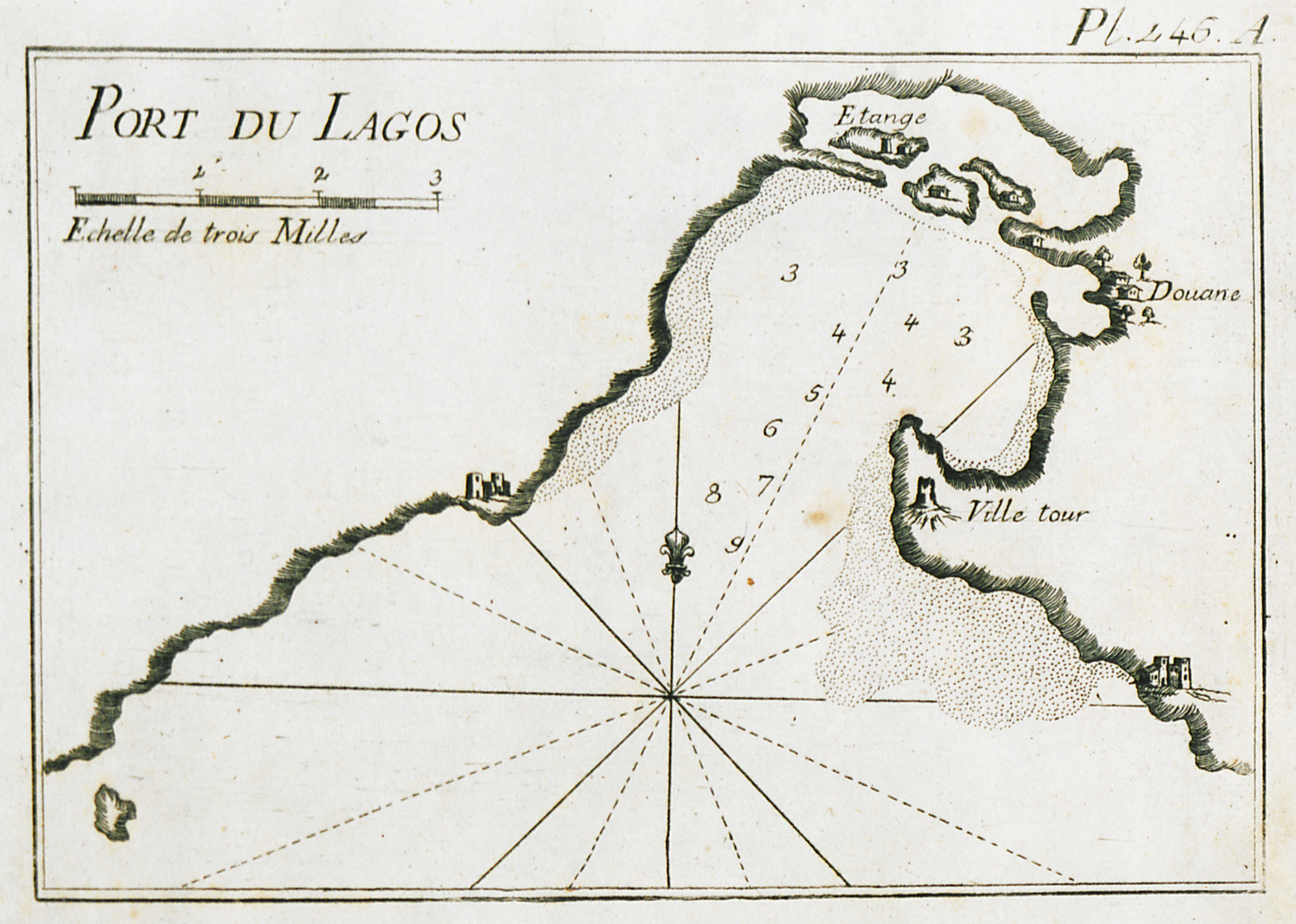
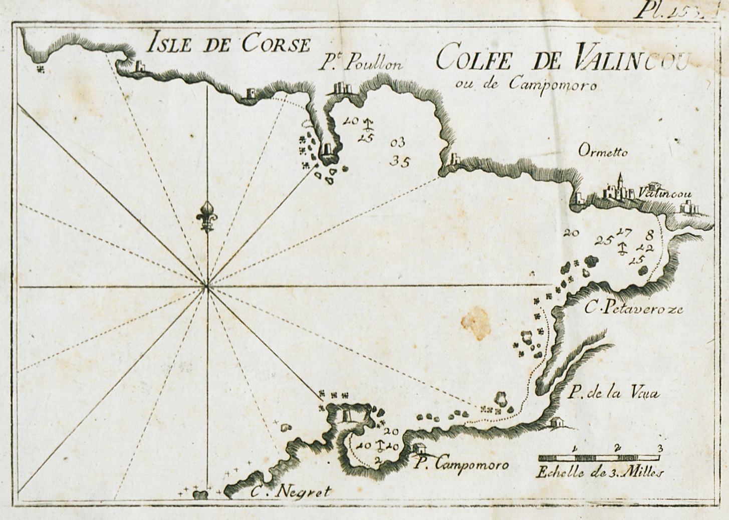
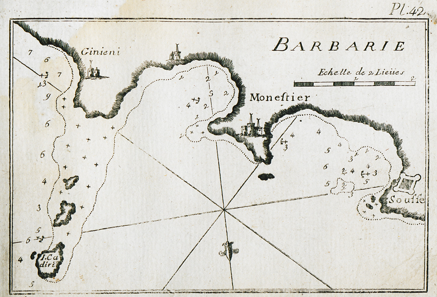
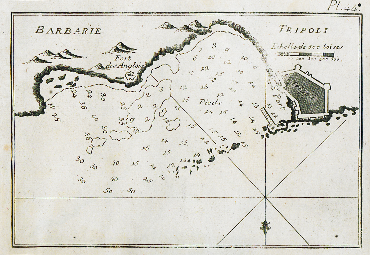
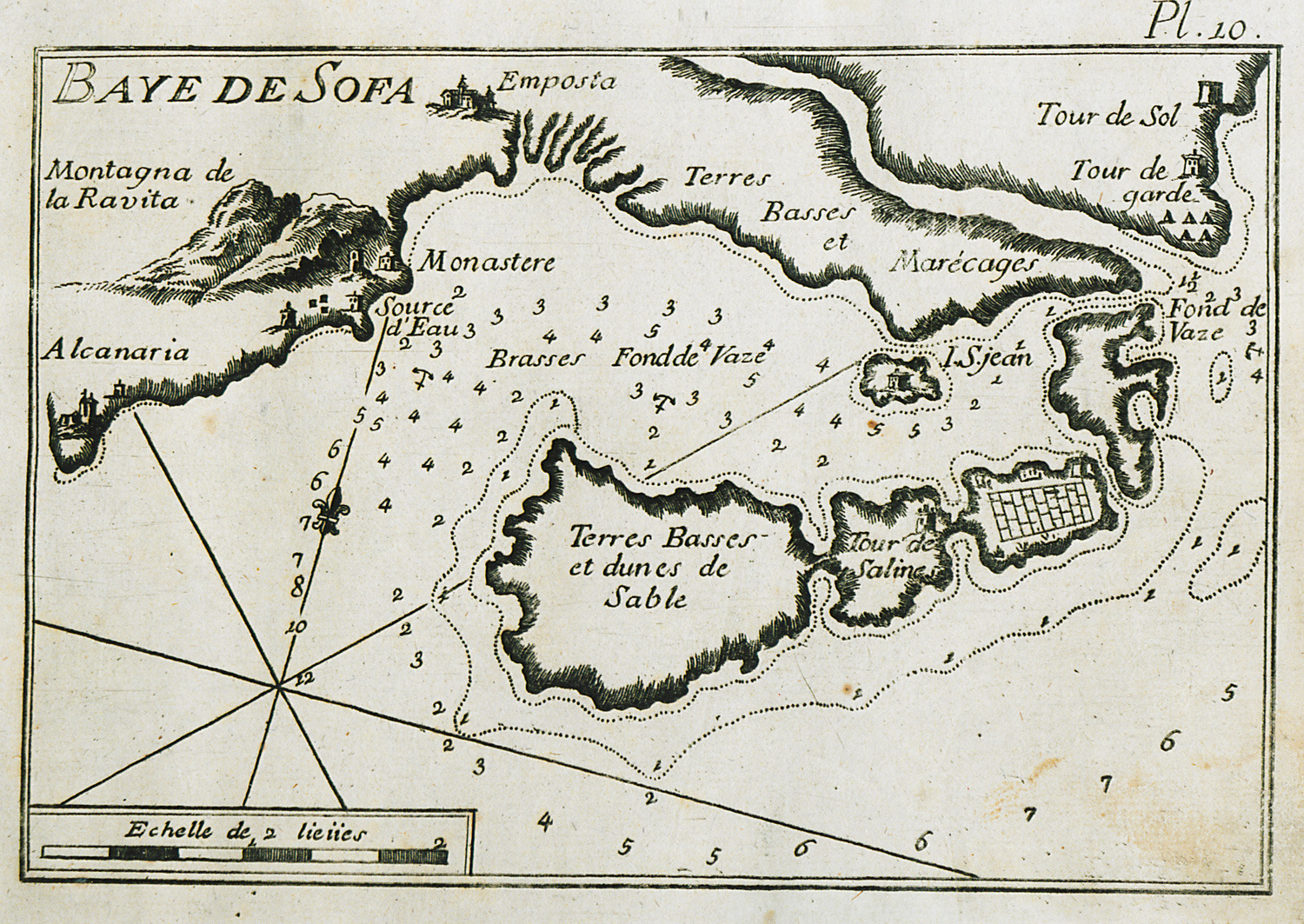
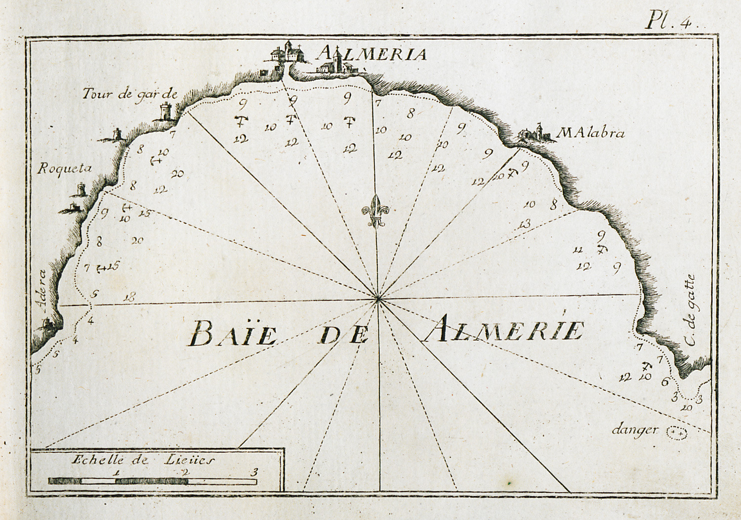
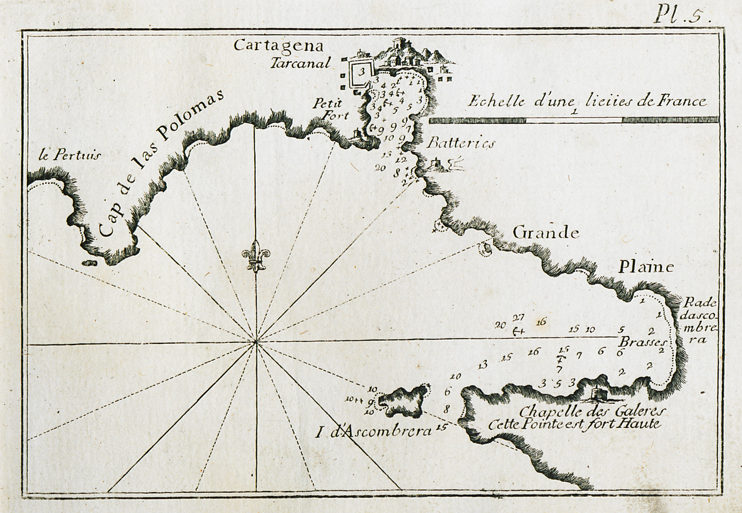
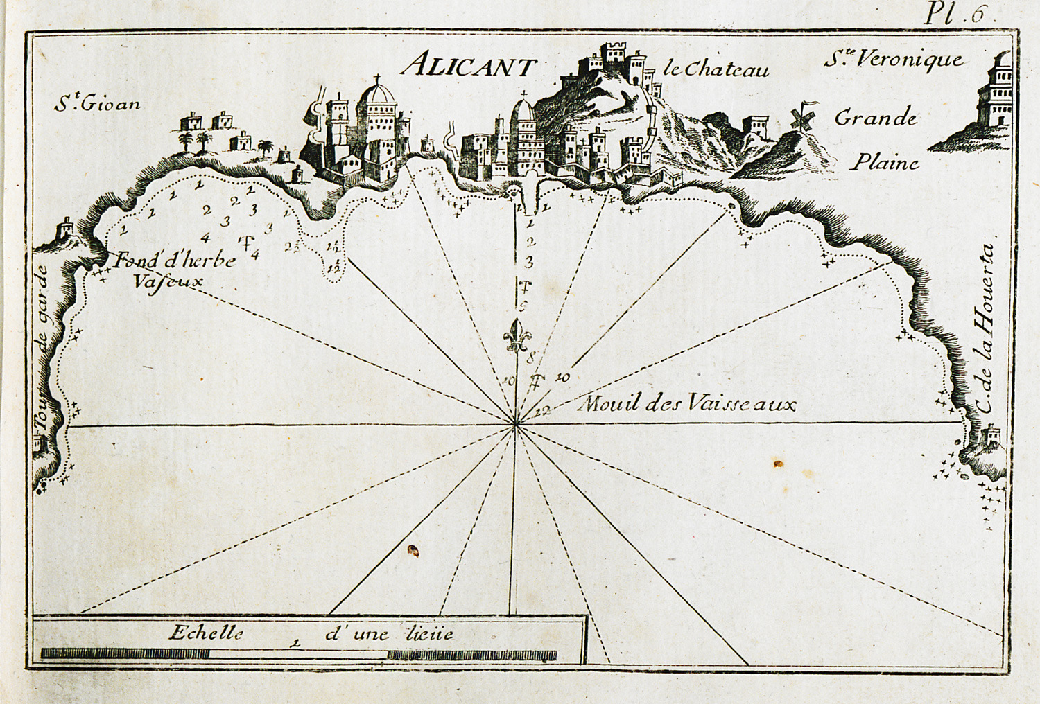
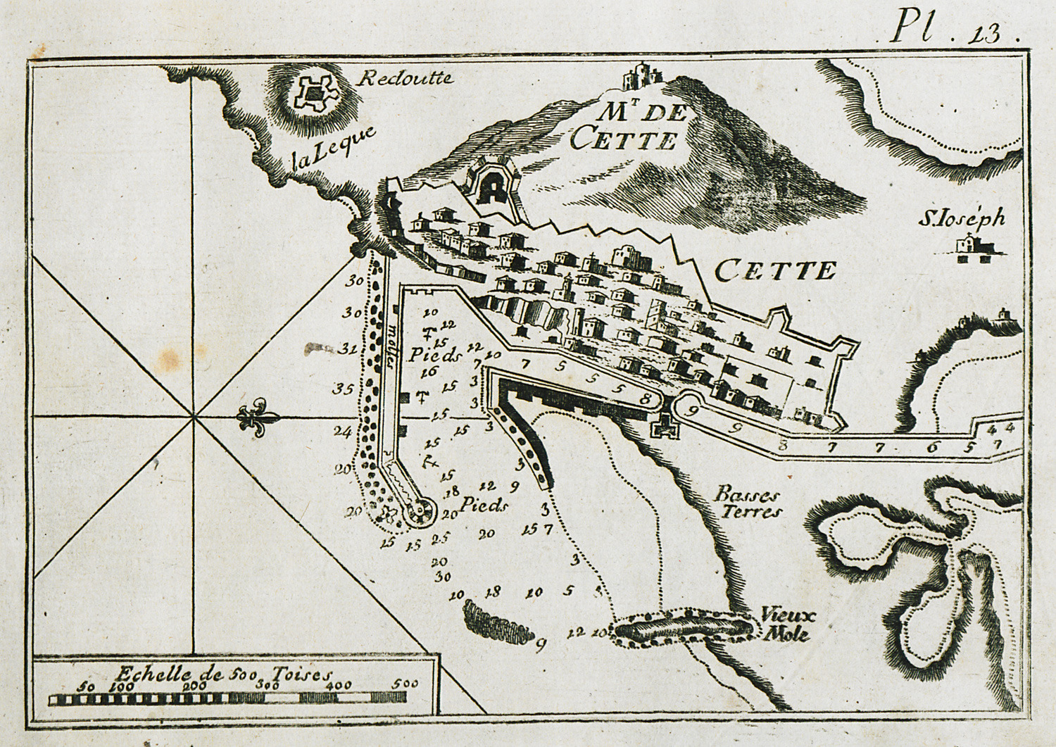
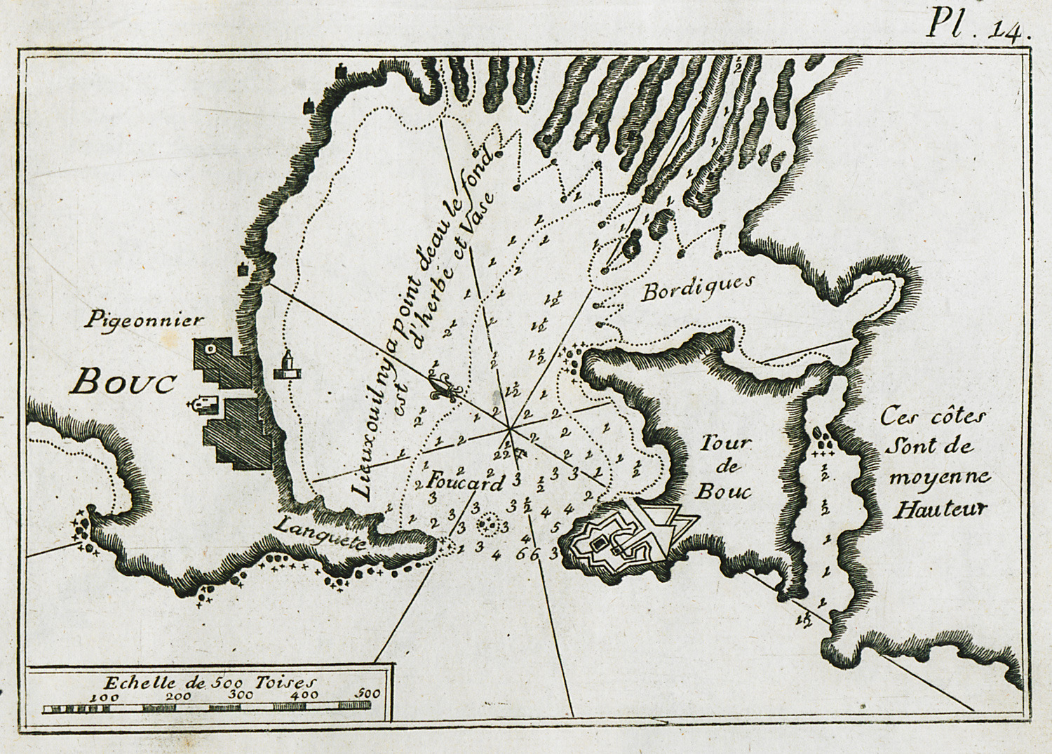
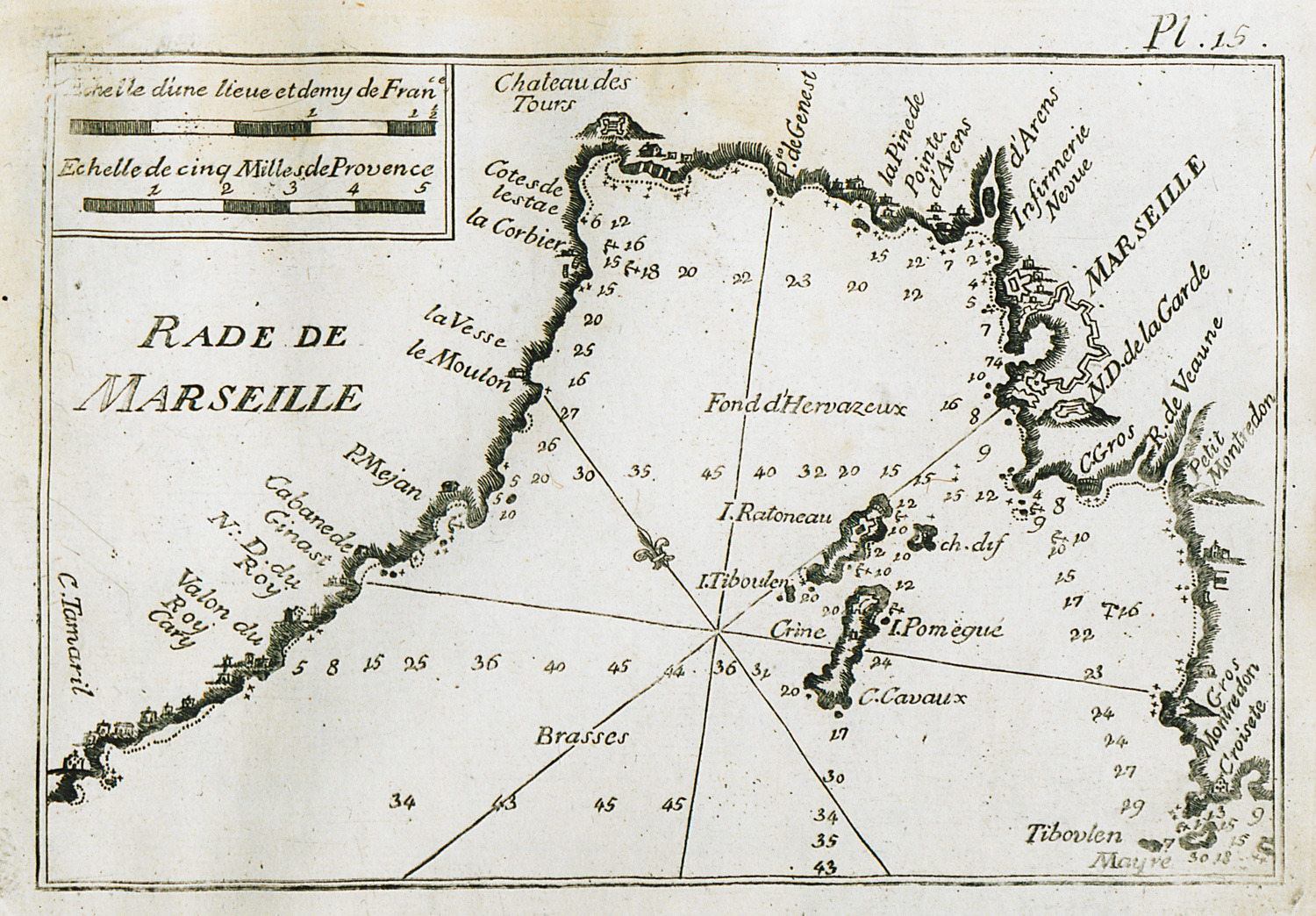
Fransız asıllı hidrograf Joseph Roux 1764 yılında Marsilya'da ayrıntılı bir Akdeniz haritası (Carte de la Mediterrannée…) yayınlar. On iki yaprak üzerinde yayınlanan bu haritada bütün körfez, liman, demirleme yerleri ve sahil boyu derinlikleri işaretlenmiştir. Aynı yıl içinde Roux sahil ve limanları gösteren bir portolan haritası da yayınlar. Nitekim bu da önceki haritaya dayanan bir rehber olup Akdeniz sahillerinin belirli noktalarını ayrı ayrı gösterir ve Cenova ile Livorno gibi başka şehirlerde de basılır. Roux'nun portolan haritaları liman, körfez ve koyları, ve denizin sığ ve derin noktalarını ayrıntılı çizimlerle göstermekteydi. Bunlara benzer eserler 18. yüzyılın ikinci yarısından itibaren J. N. Bellin ve daha sonra Allezard tarafından da yayınlanır. Limanlara girebilmek için gerekli olan bilgilerden başka bu haritalarda sık sık şehir binalarından ayrıntılar, değirmenler, kuşbakışı kale görünümleri vs. yer almaktadır.
Yazan: İoli Vingopoulou
ROUX, Joseph - Cyclades
ROUX, Joseph - Rest Images
-
-
-
-
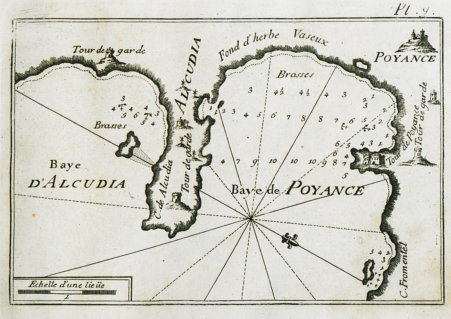
Map of the bay of Pollença and of the bay north of Alcúdia, in Mallorca.
-
-
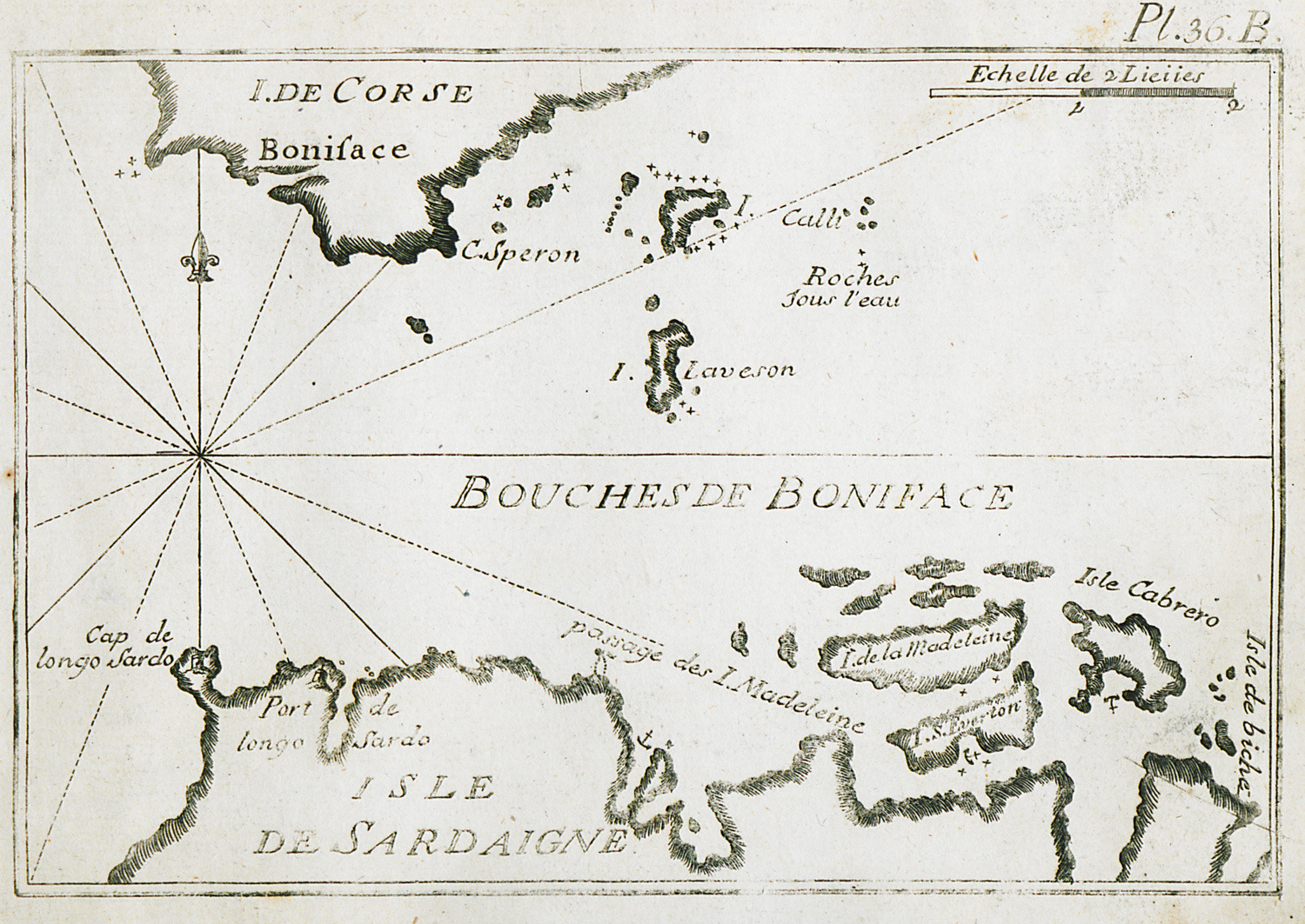
Map of the Strait of Bonifacio between Corsica and Sardinia.
-
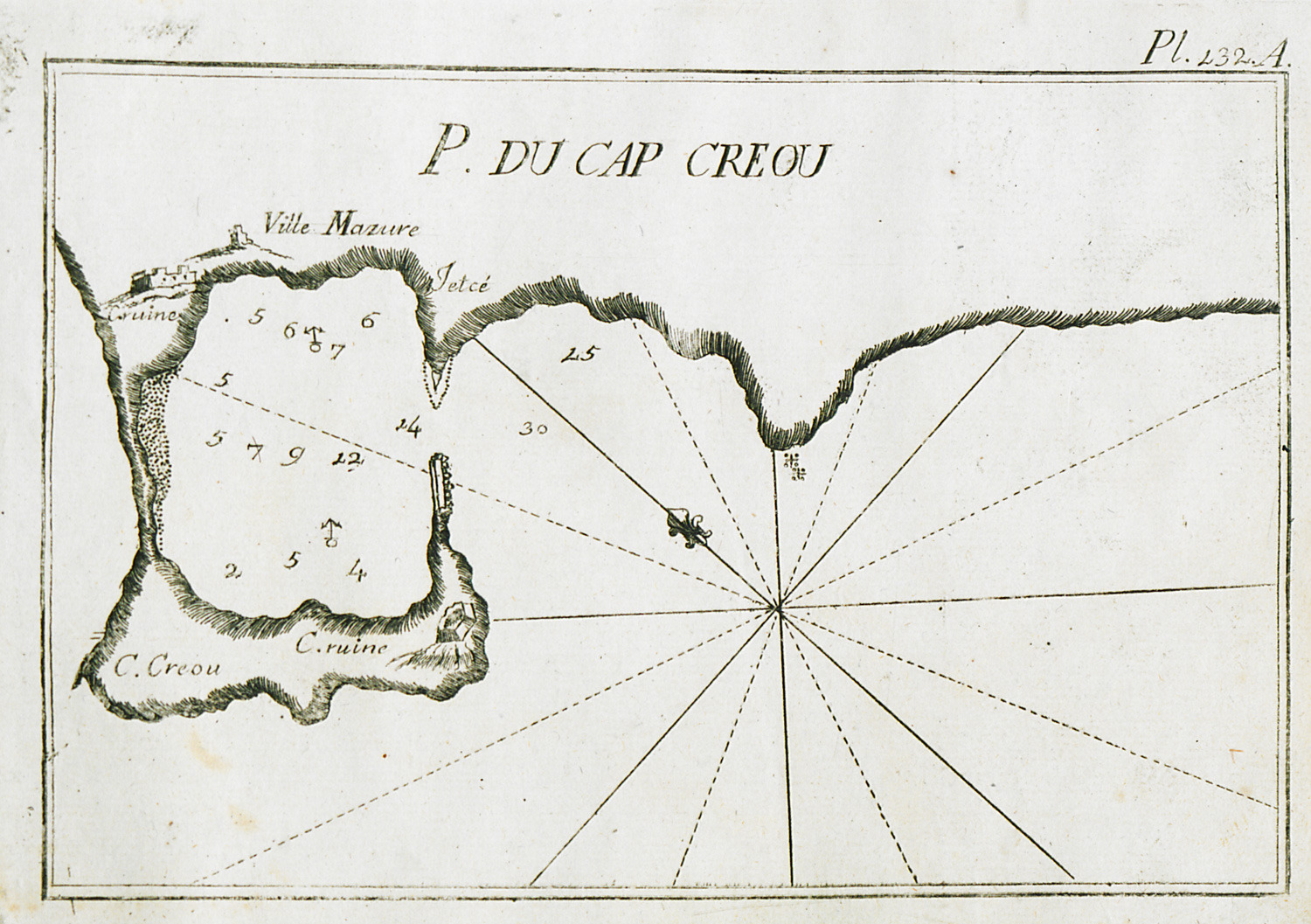
Map of the port of ancient Knidos on cape Triopion or Cavo Crios, on Datça penisula, Turkey.
-
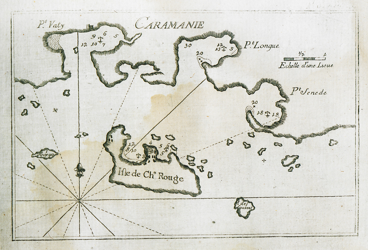
Map of Castellorizo and of the coastline between Kaş and Kalkan.
-
-
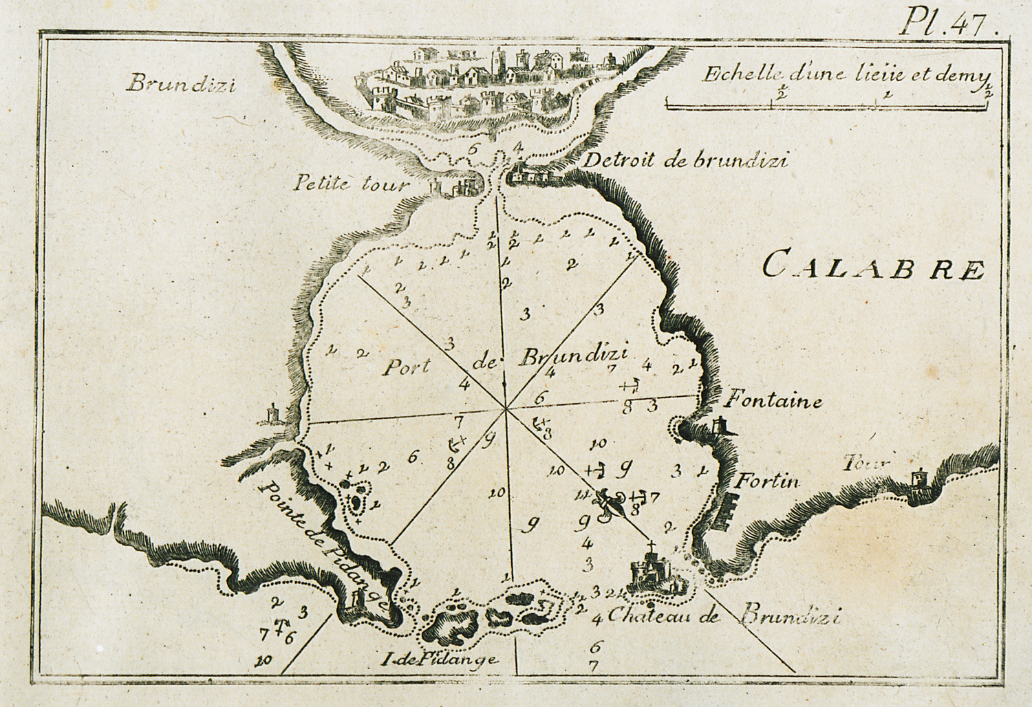
Map of the bay and port of Brindisi in Italy. View of the city.
-
-
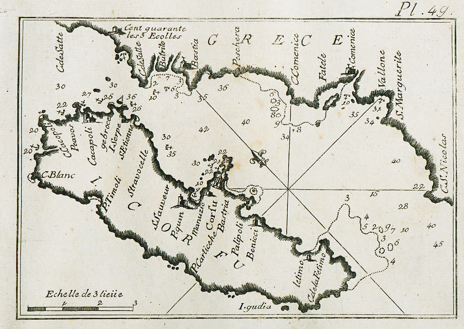
Map of Corfu, charting its eastern coastline and part of Epirus coastline.
-
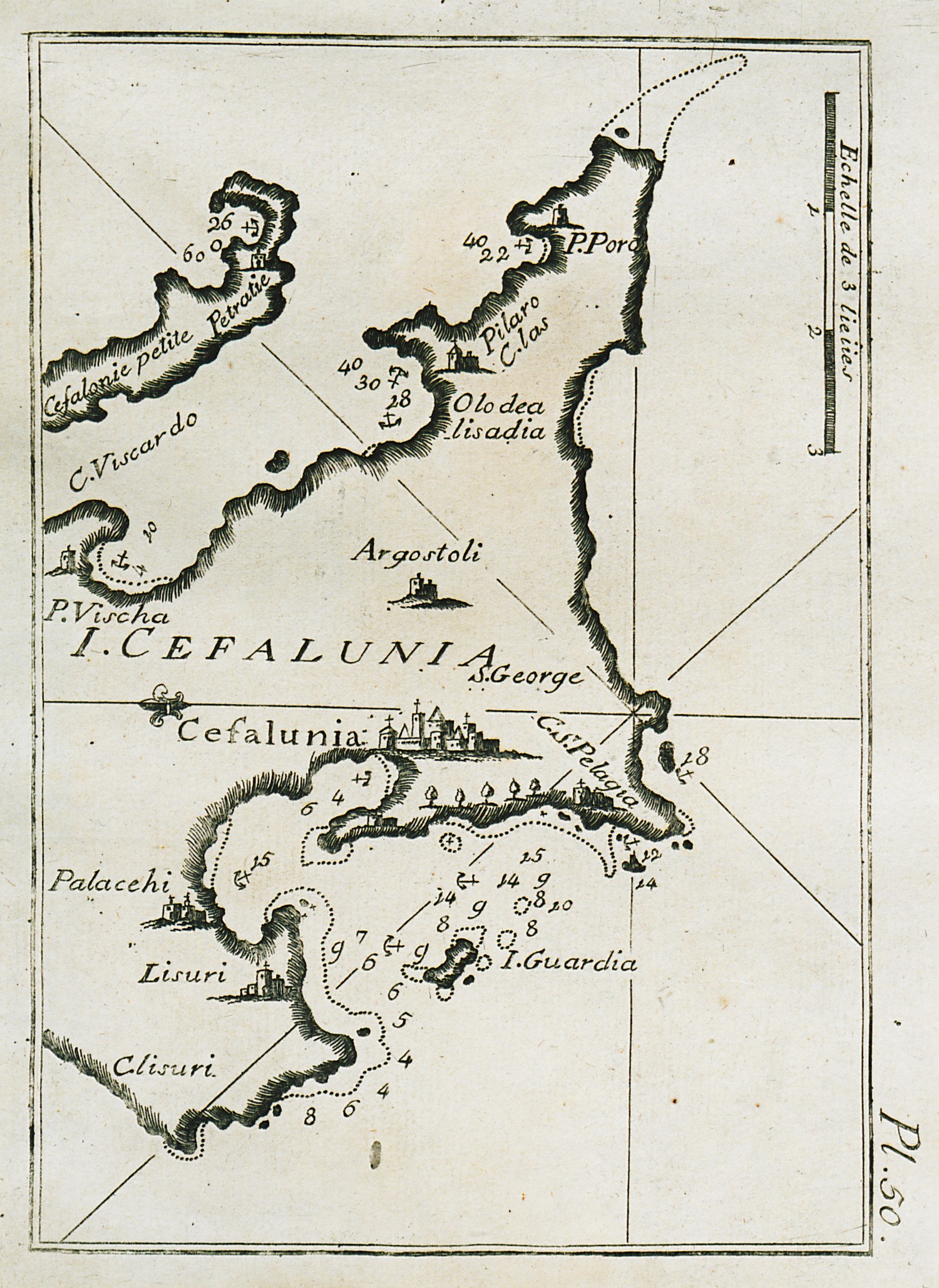
Map of part of Cephalonia, charting the bay and port of Argostoli and surrounding inlets.
-
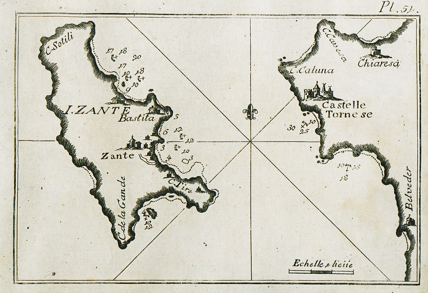
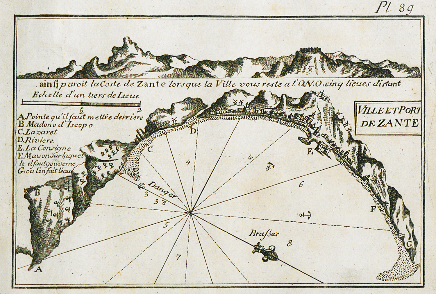
Map of Zakynthos, charting the port waters and eastern inlets of the island.
-
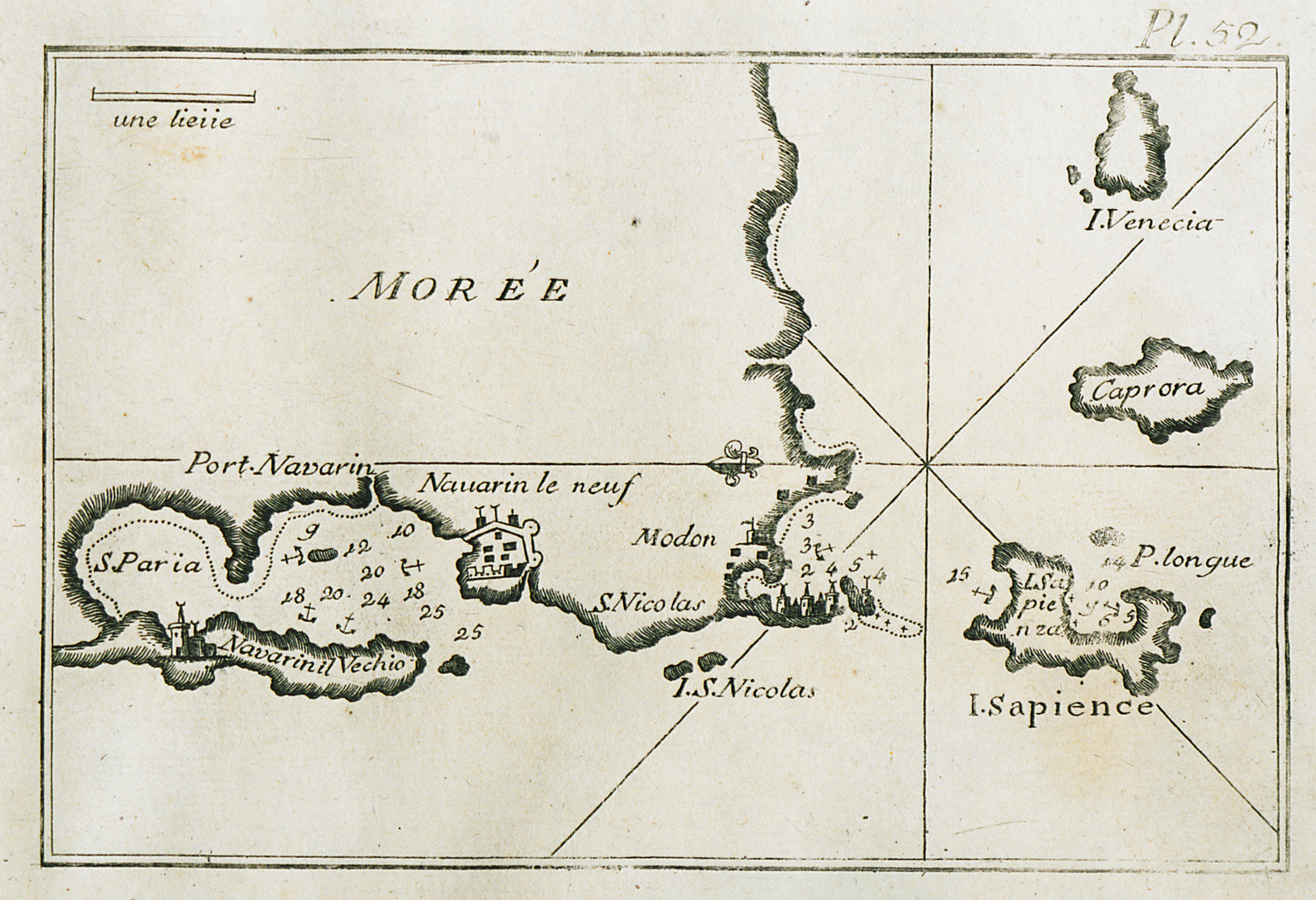
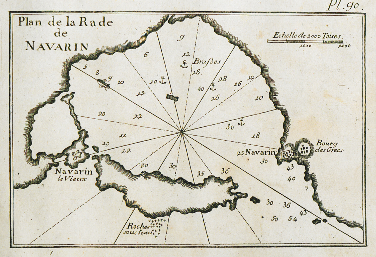
Map of the bay and port of Pylos, of the bay of Methoni and of Sapienza island.
-
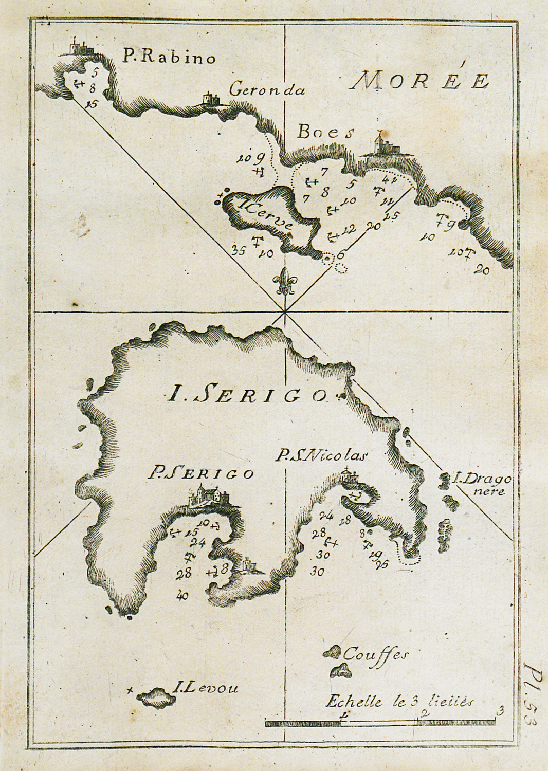
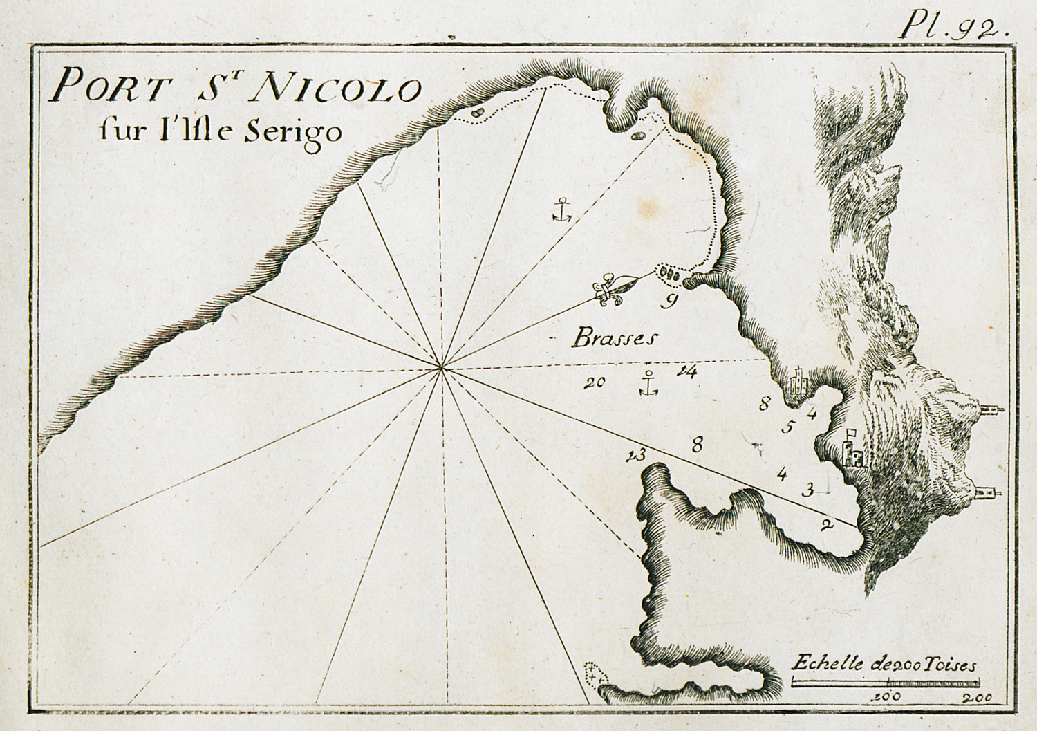
Map of Cythera charting the port waters and the beach of Agios Nicolaos.
-
-
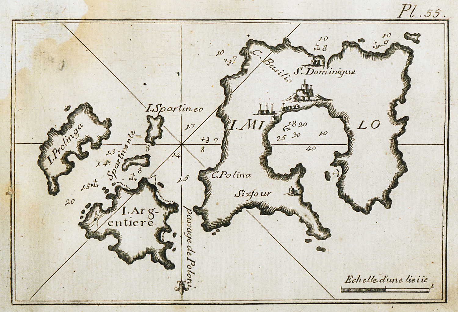
Map of Milos and surrounding islands, charting the port of Milos and the port waters.
-
-
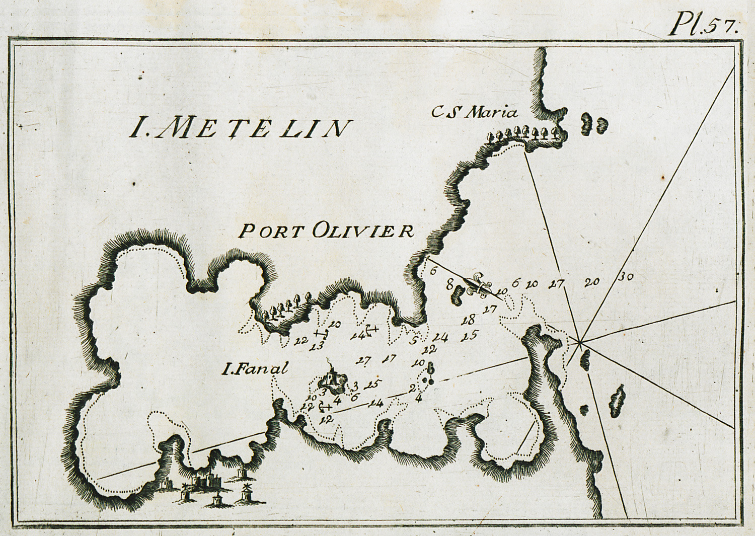
Map of the bay of Geras near Mytilene in Lesbos, partly charting the waters at the gulf entrance.
-
-
-
-
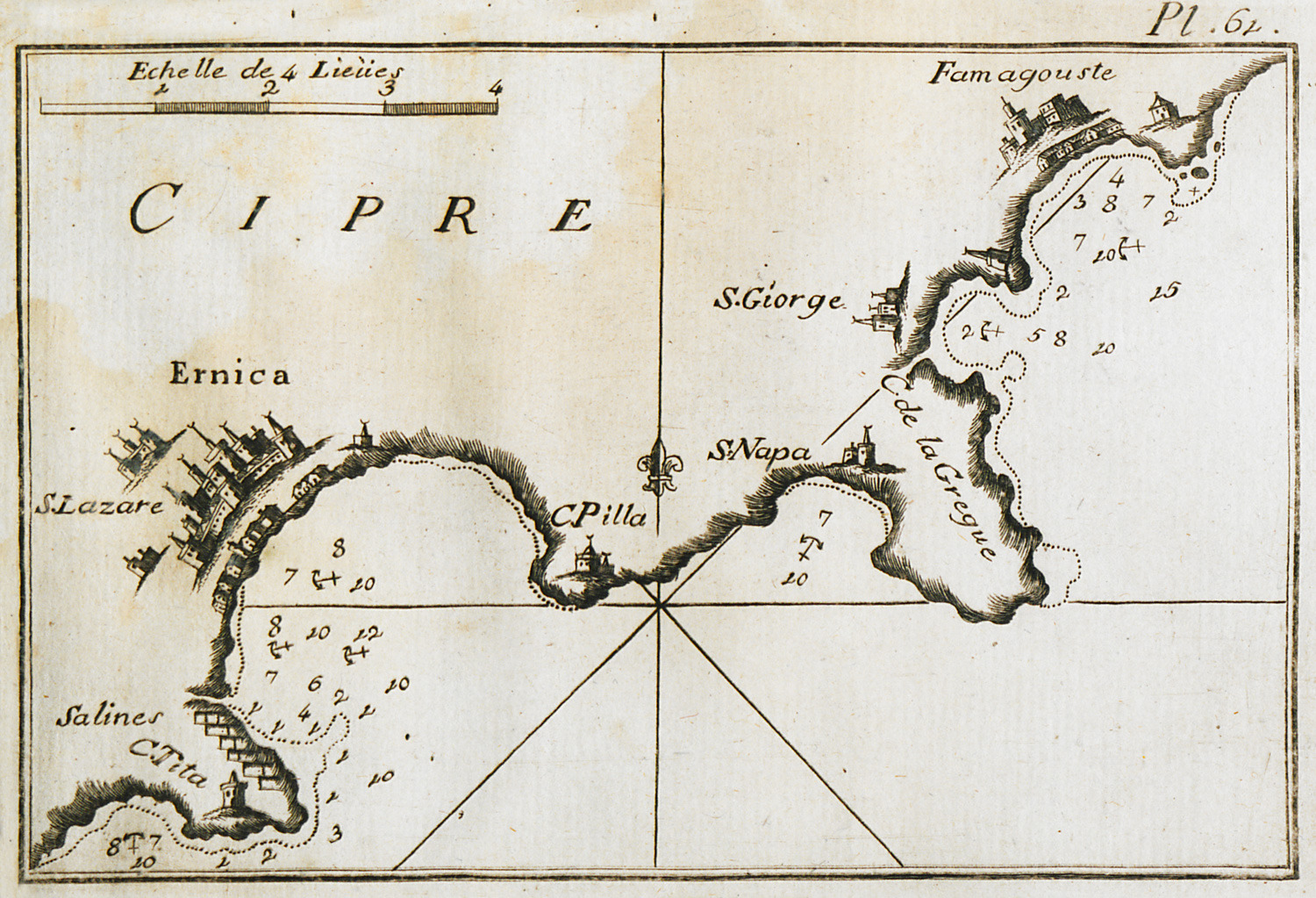
Map of the bay and port of Larnaca and of part of the bay of Famagusta.
-
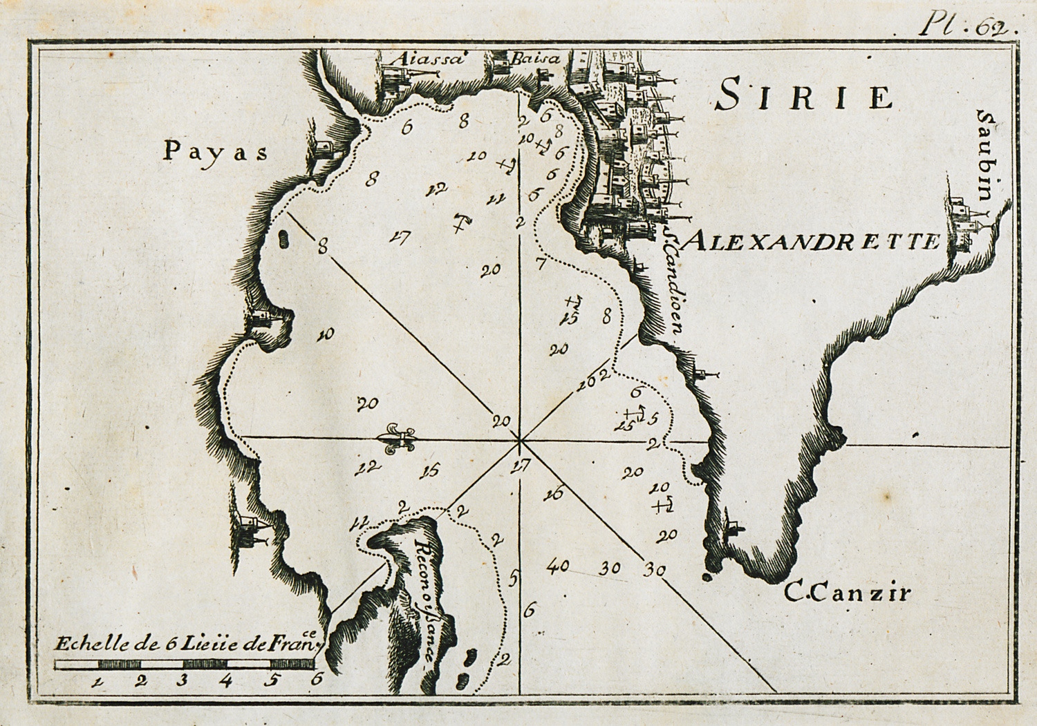
Map of the bay and port of Alexandretta (Iskenderun) in Turkey.
-
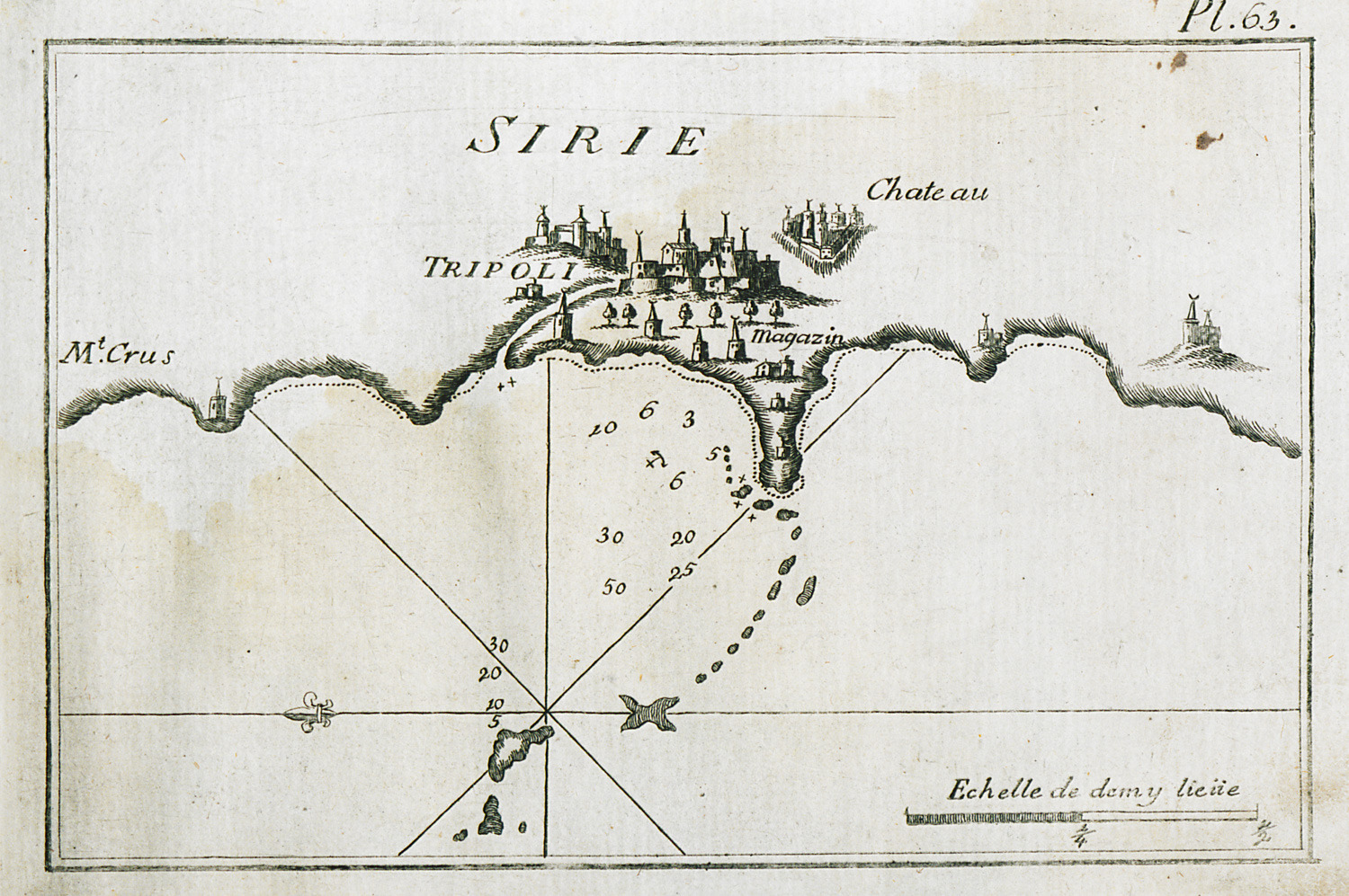
Map of the port of Tripoli in Lebanon and surrounding coastline.
-
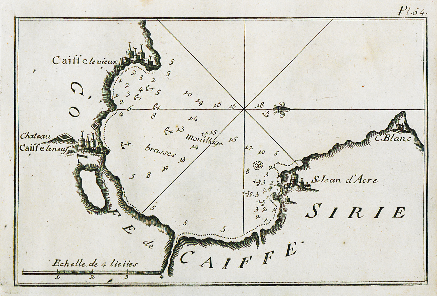
-
-
-
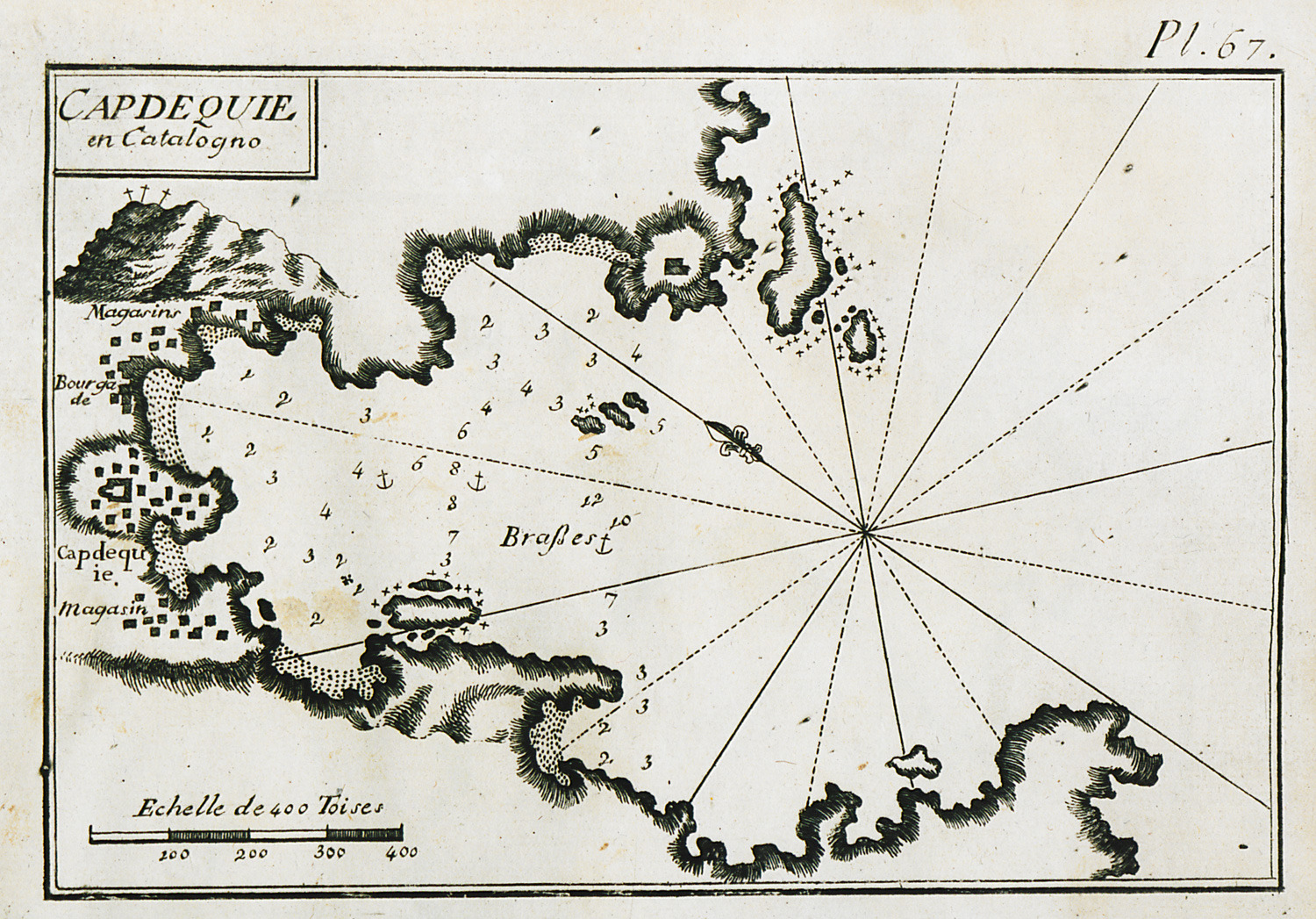
Map of the bay and port of Cadaqués in the northern part of Costa Brava, Spain.
-
-
-
-
-
-
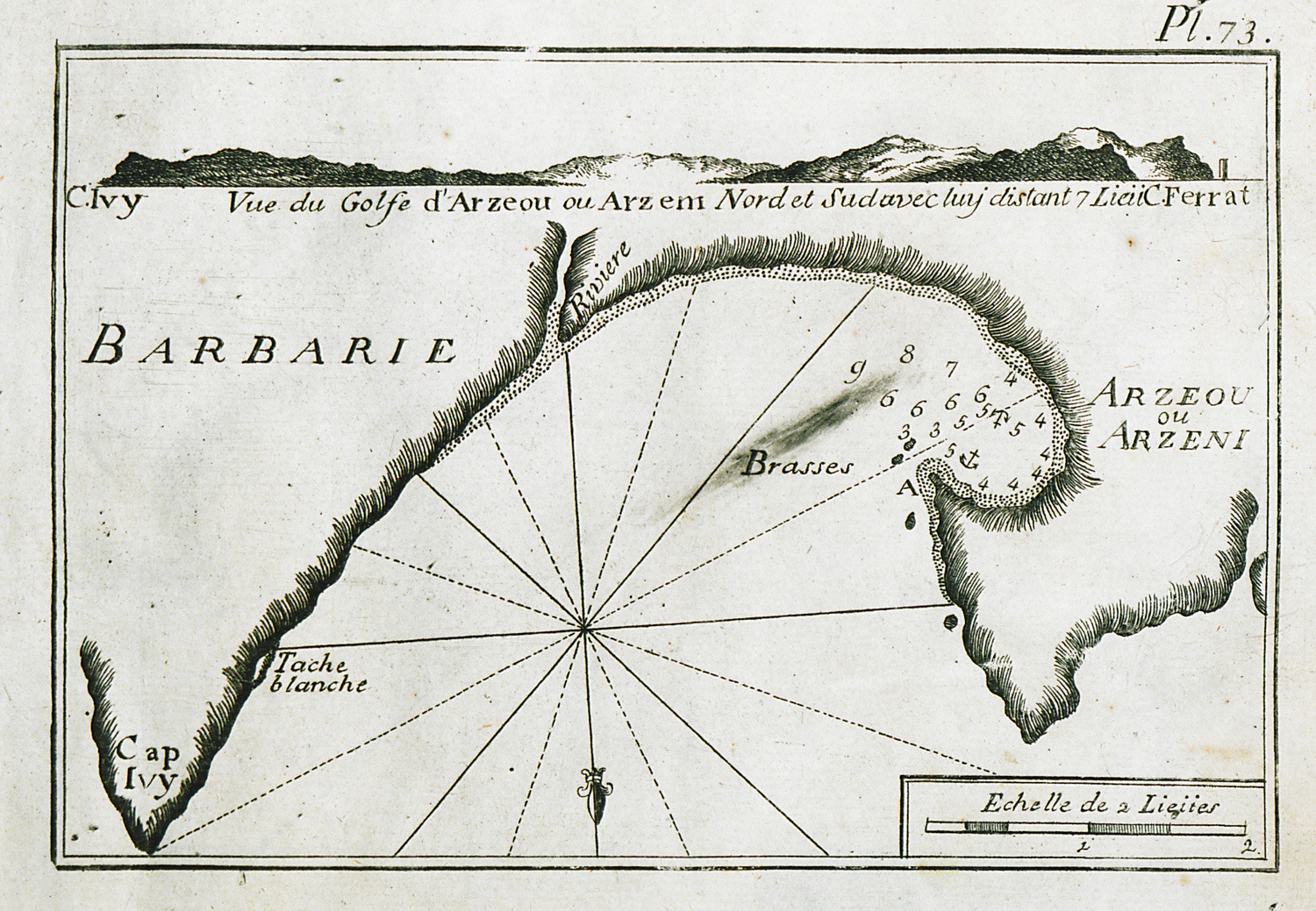
Map of the coastline from the Cape of Good Hope to the gulf of Kutch in India.
-
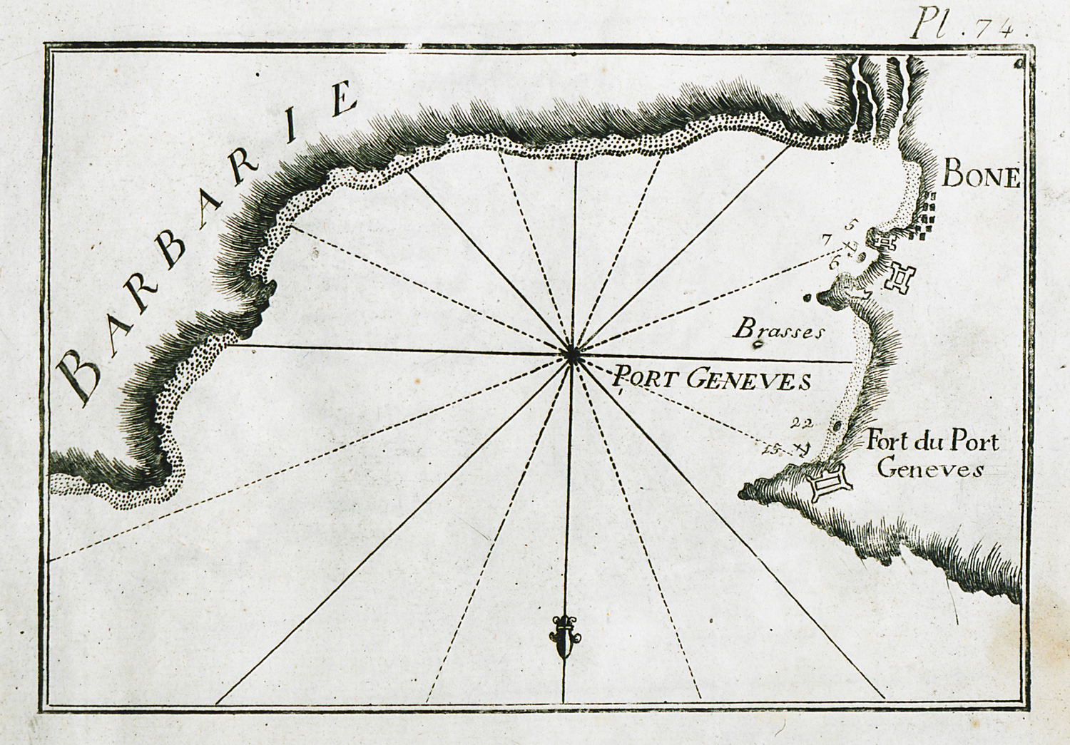
-
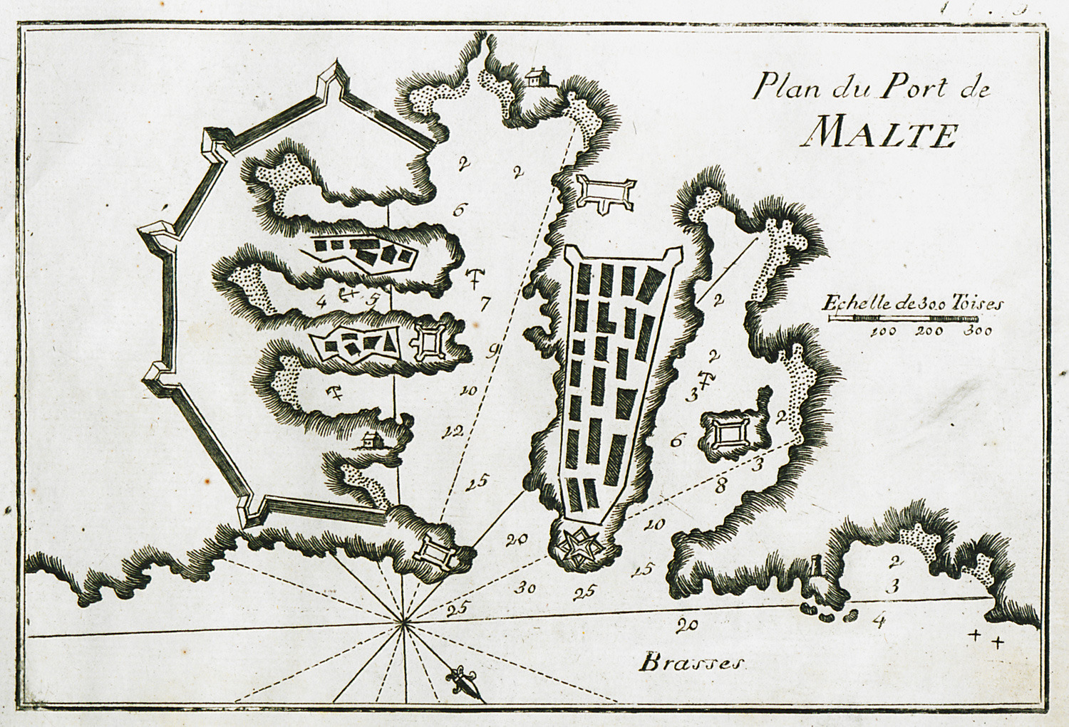
-
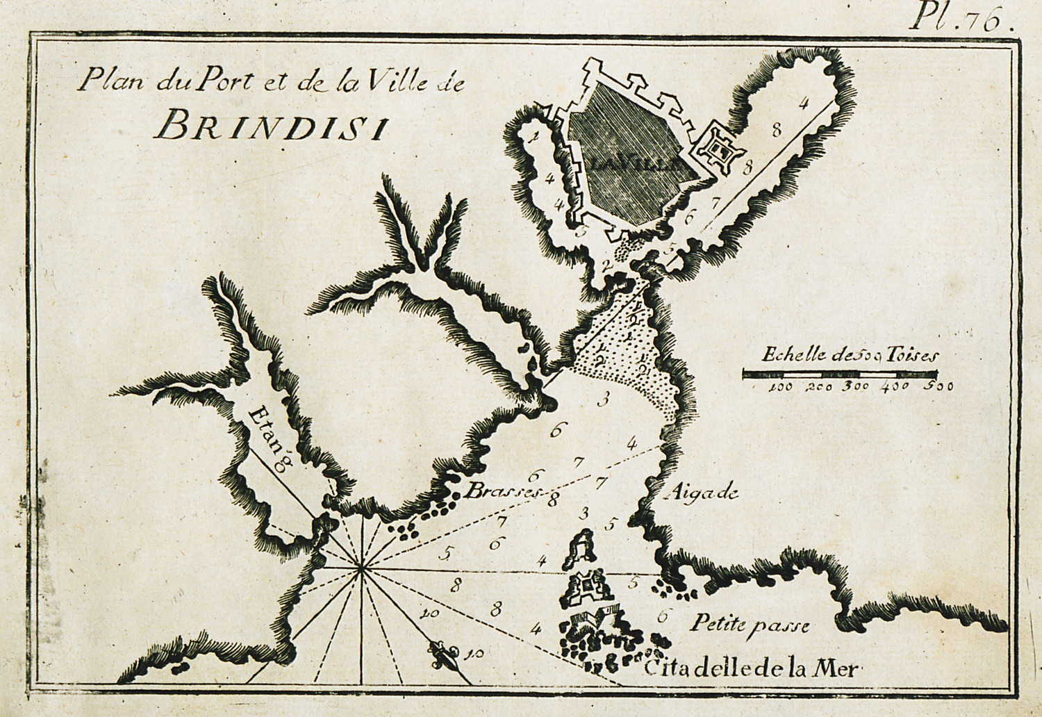
-
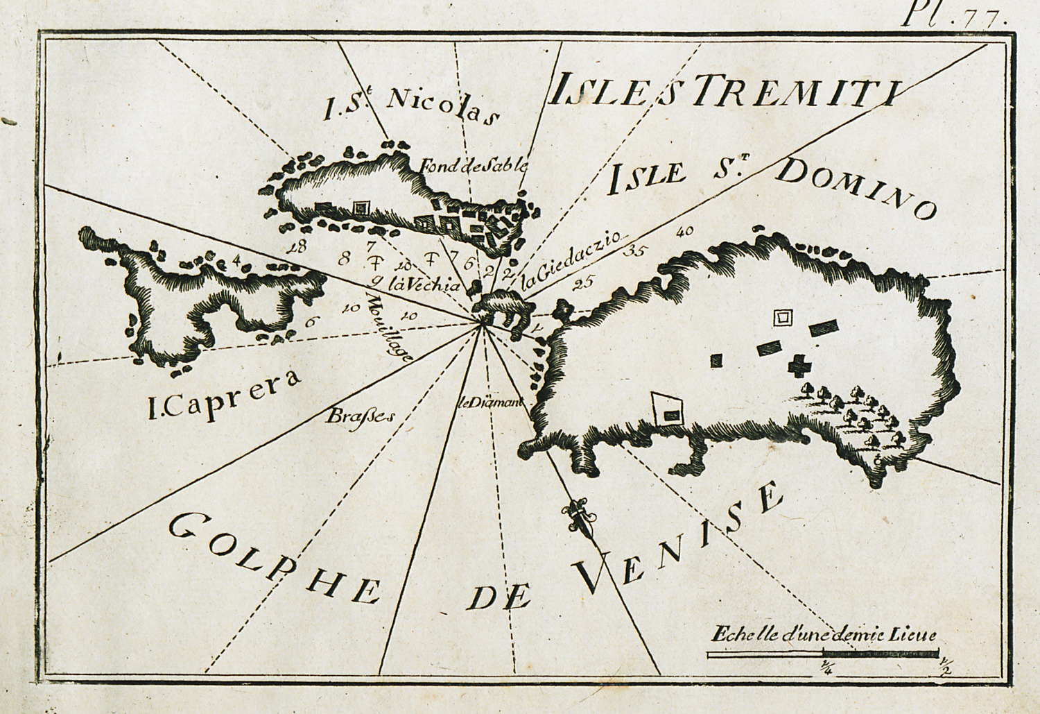
-
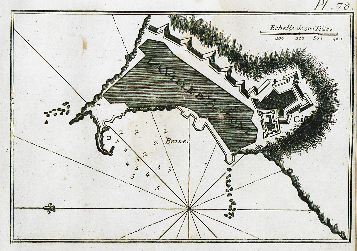
-
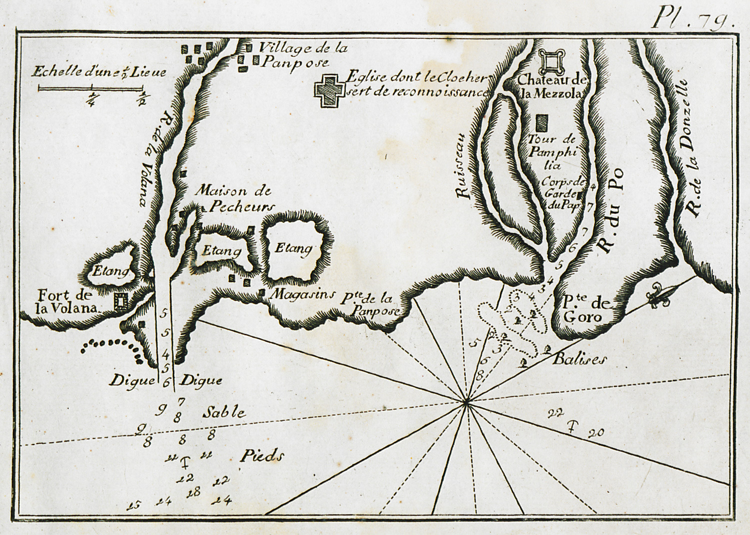
Map of the Straits of Volana and Po rivers, at the border of Ferrara with Veneto.
-
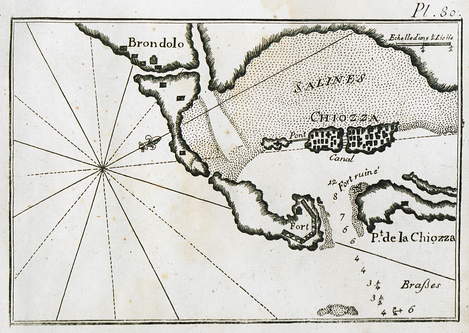
-
-
-
-
-
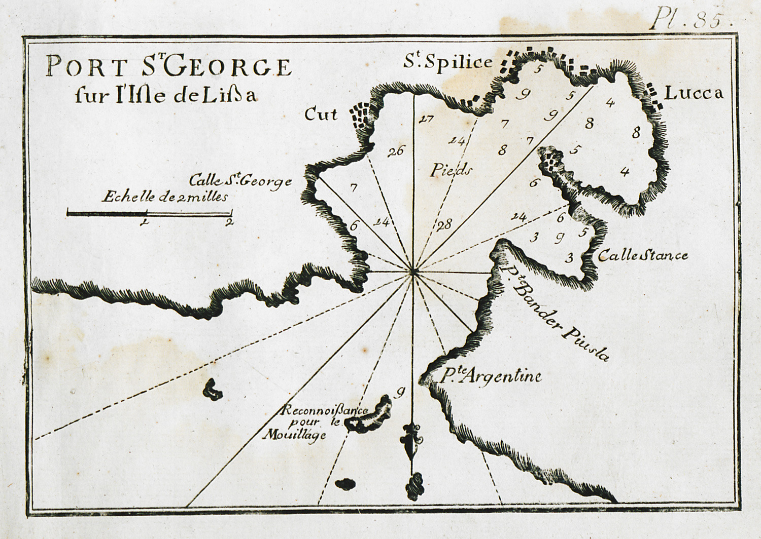
Map of the port of Vis (Lissa in Italian) on Vis island near Split, Croatia.
-
-
-
-
-
-
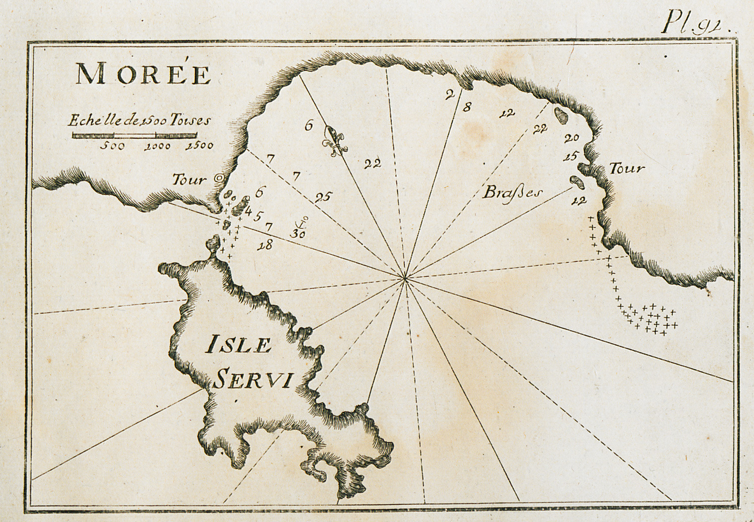
Map of Vatika Bay in the Peloponnese, and of Elaphonisos island.
-
-
-
-
-
-
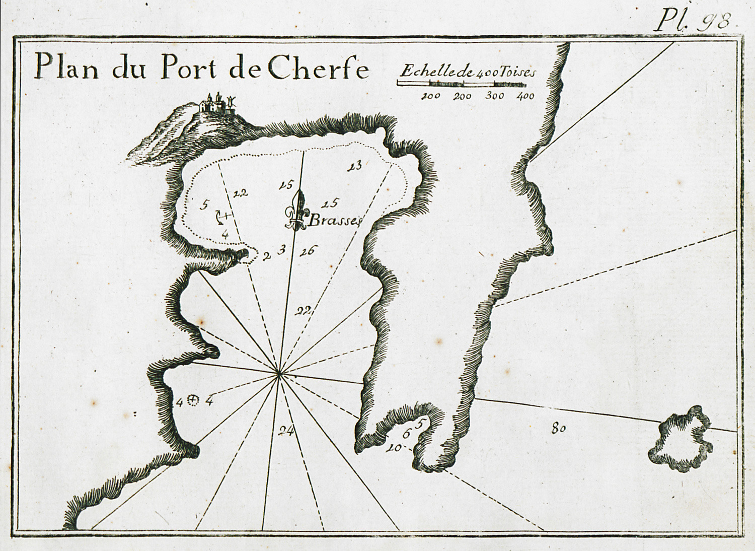
-
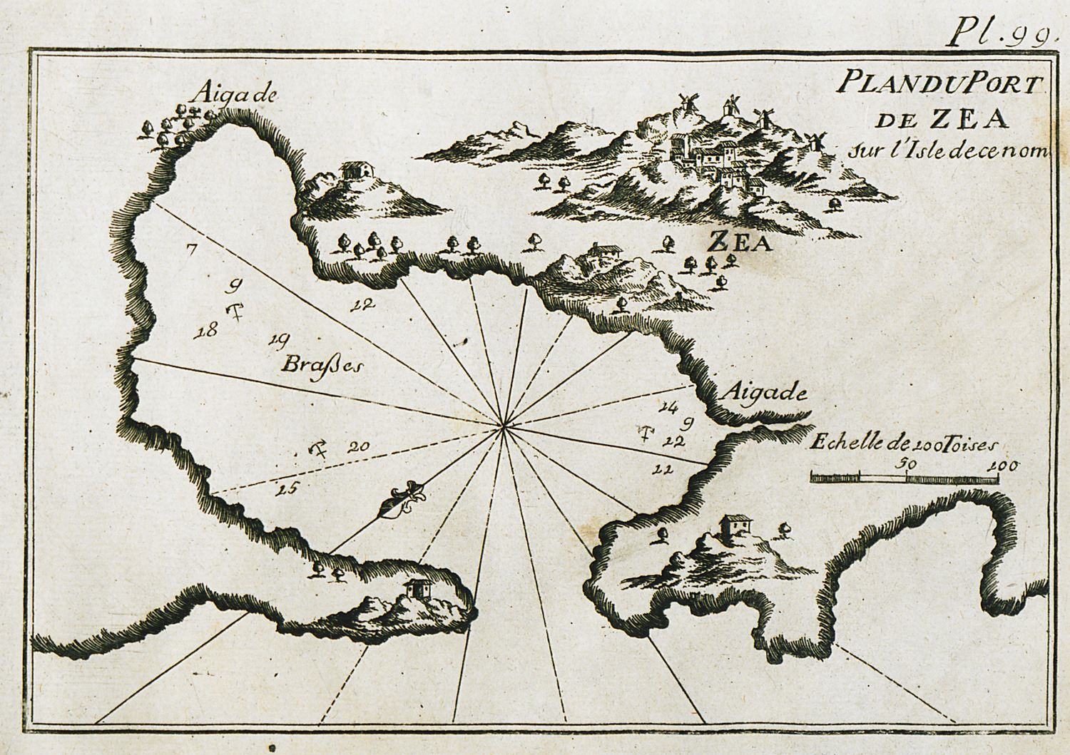
-
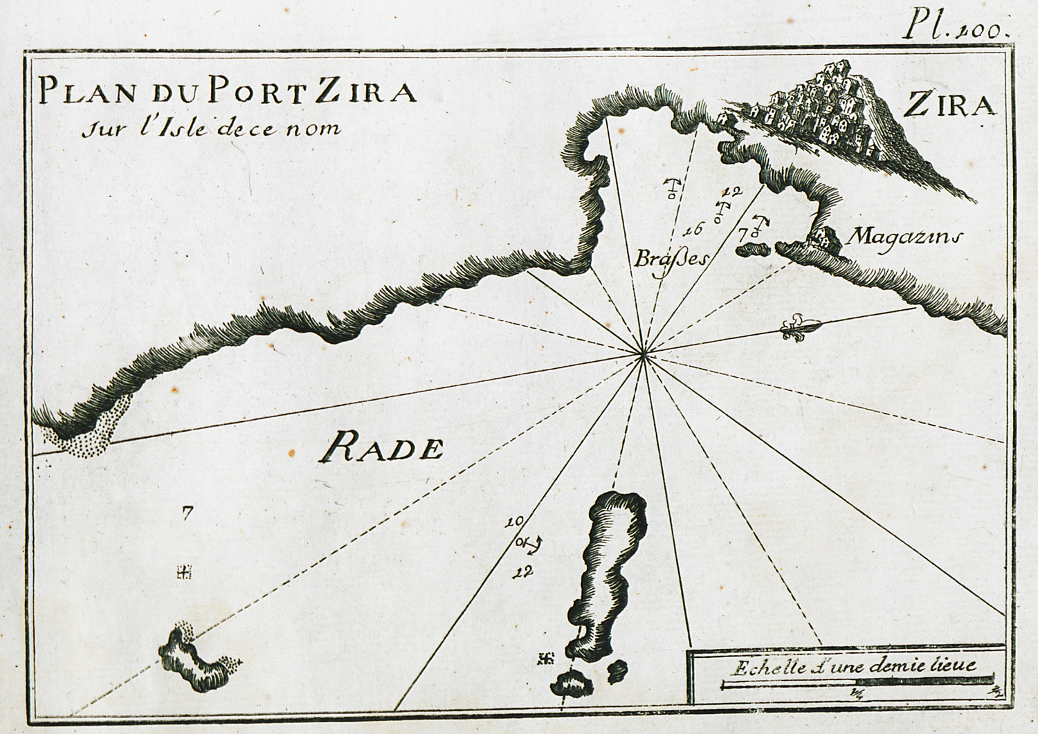
-
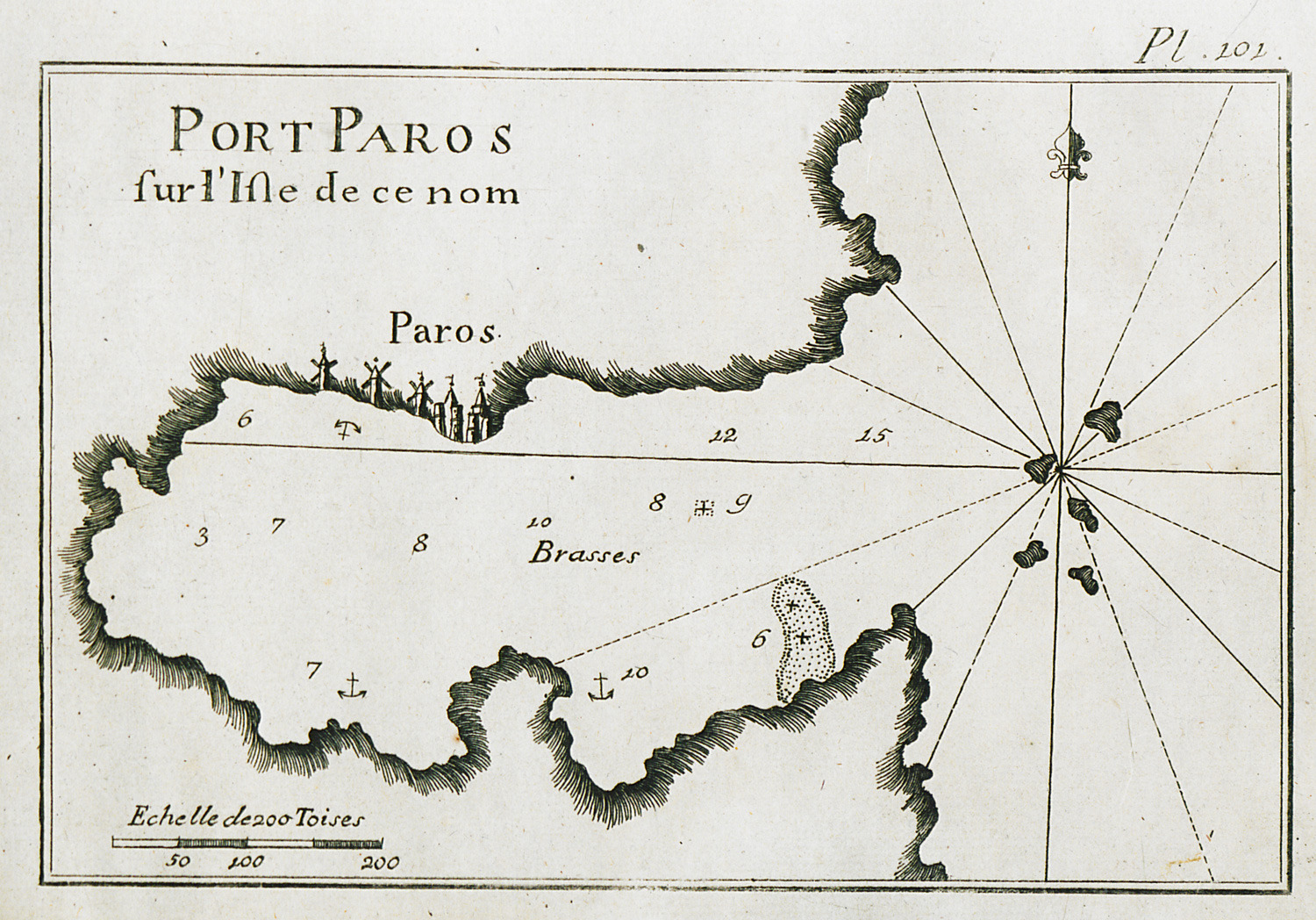
-
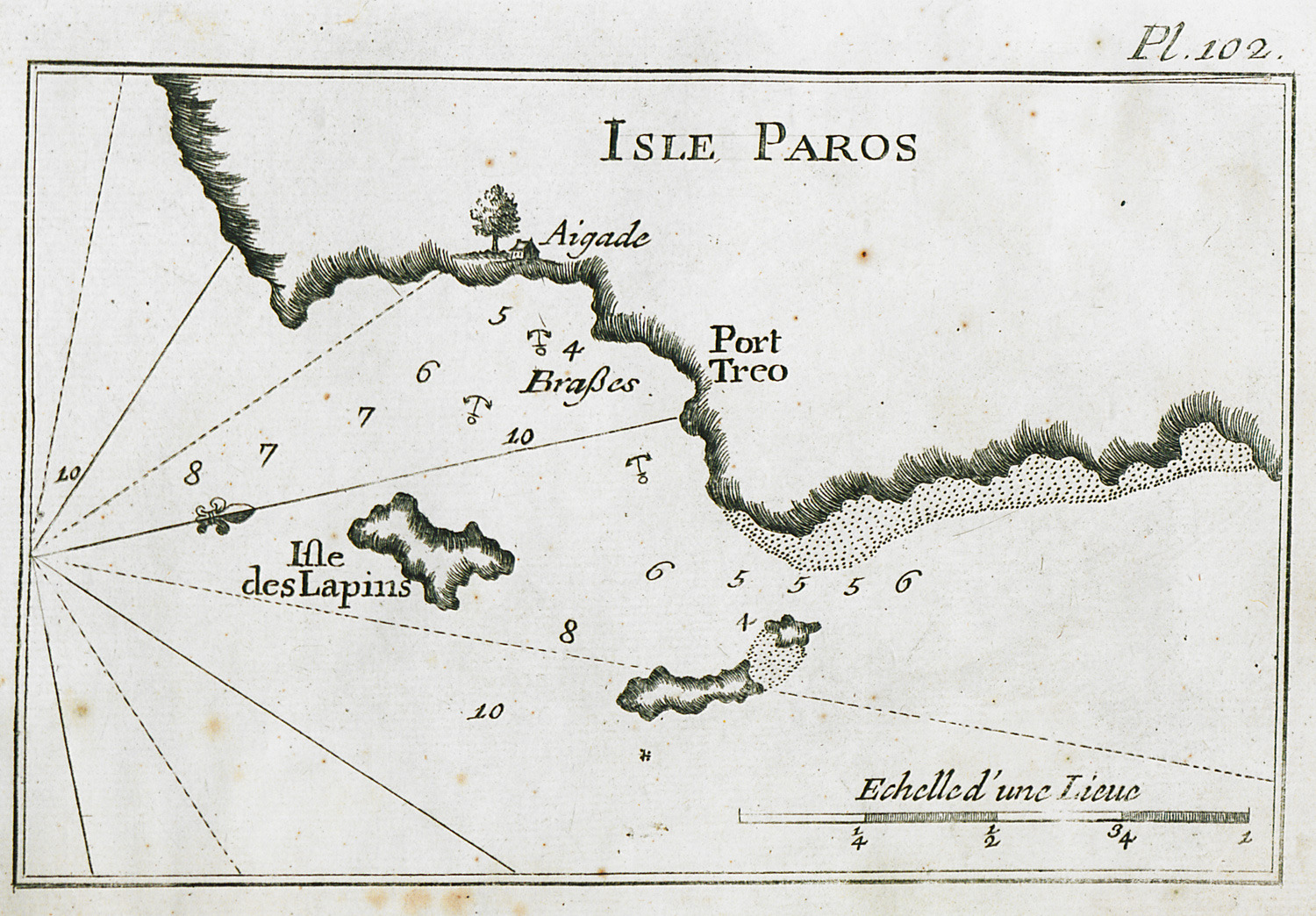
-
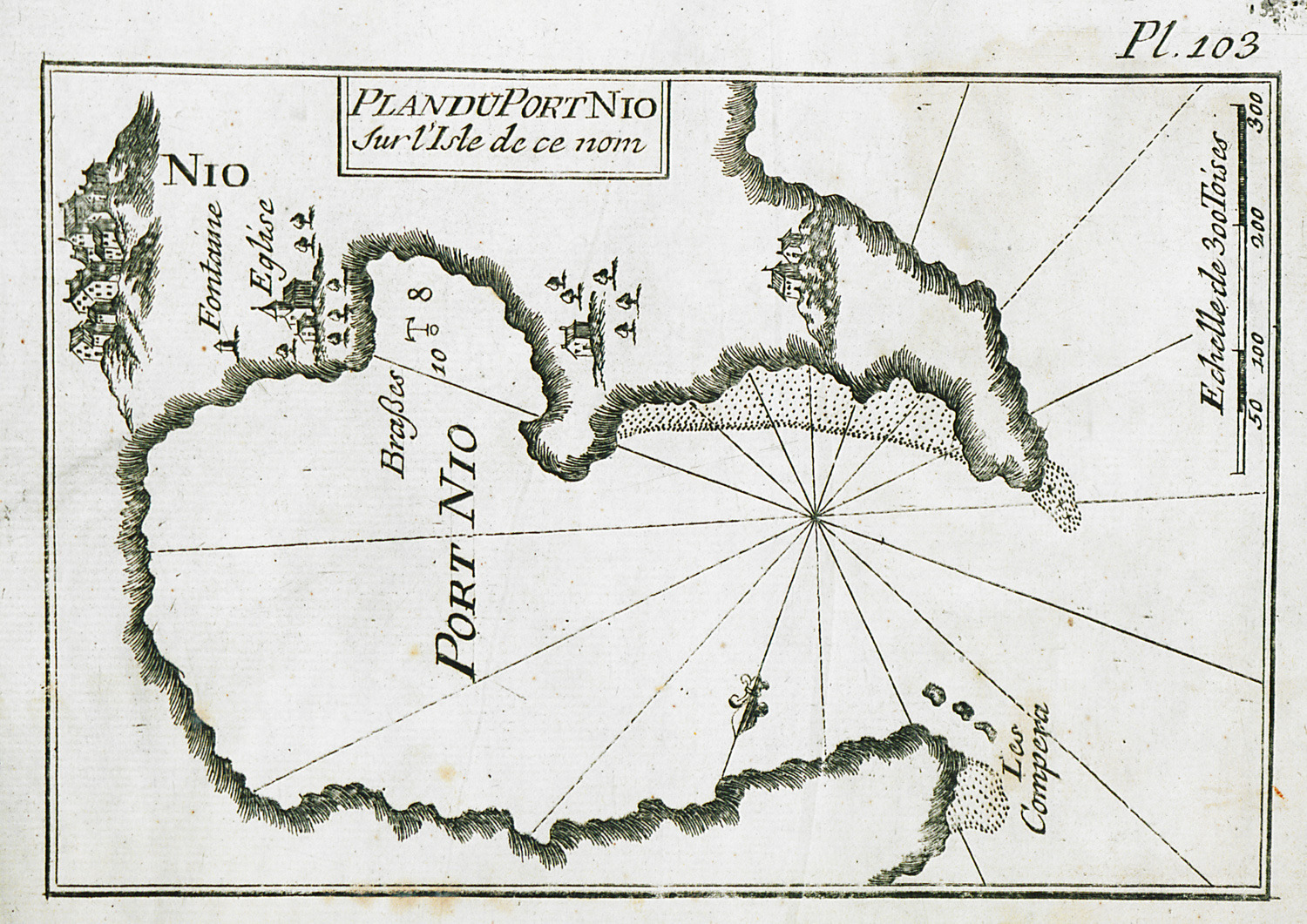
-
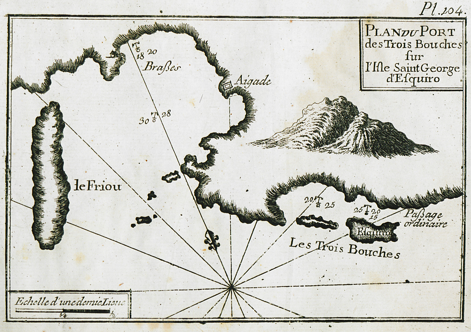
-
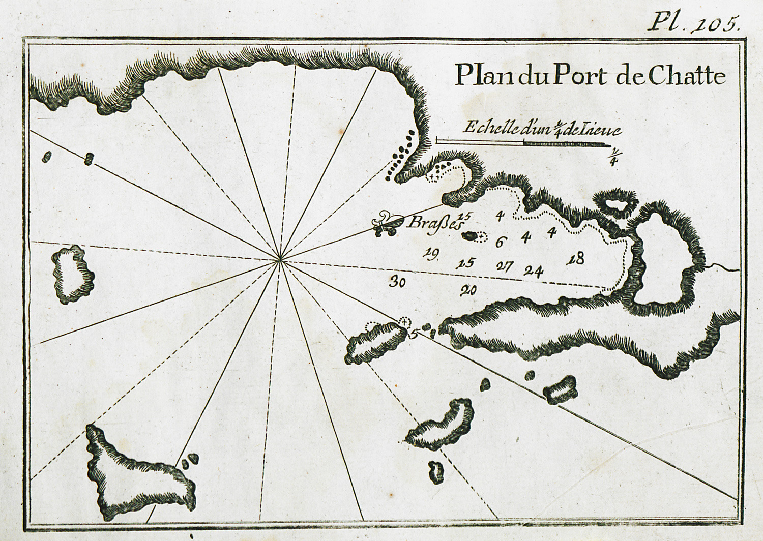
-
-
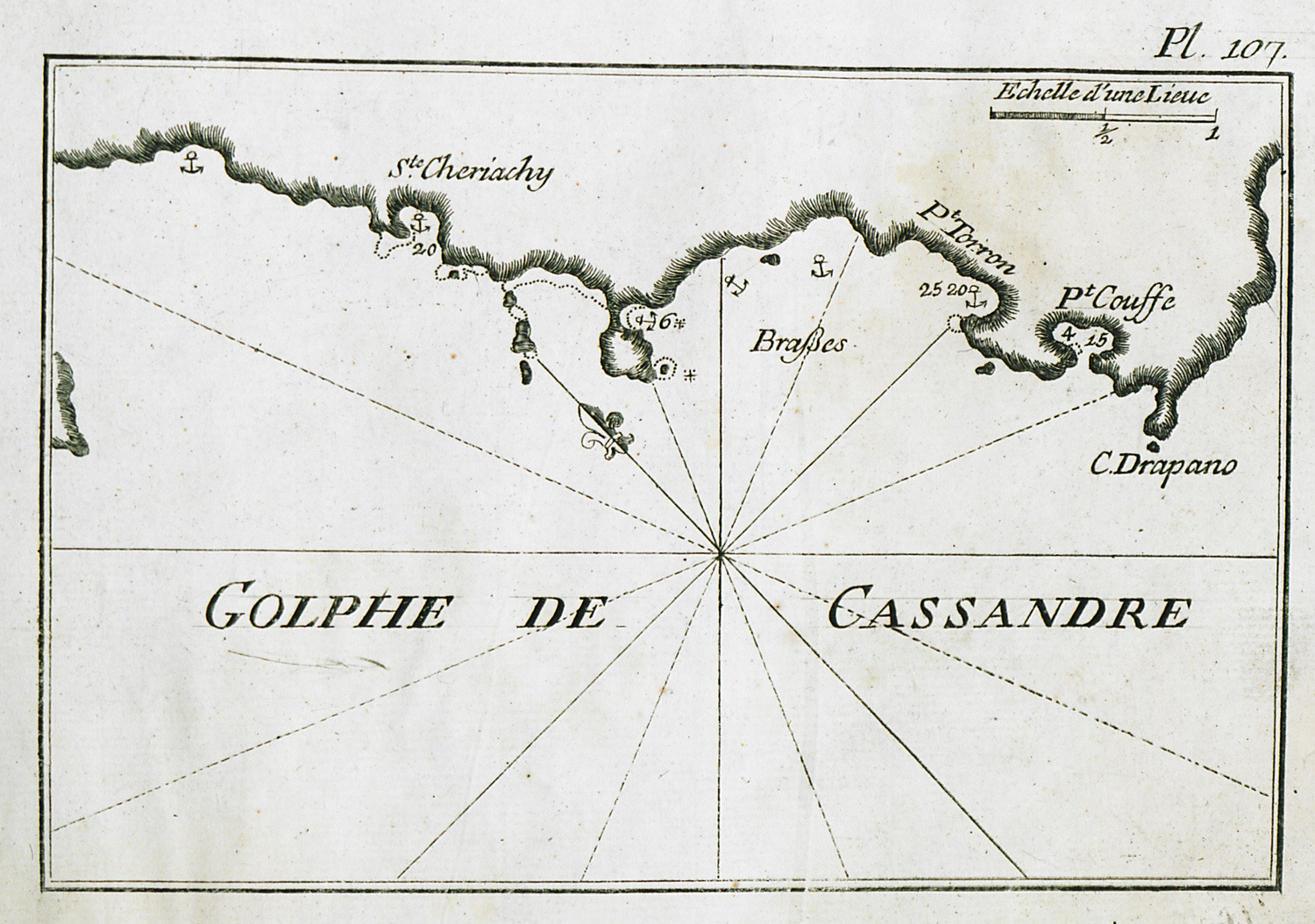
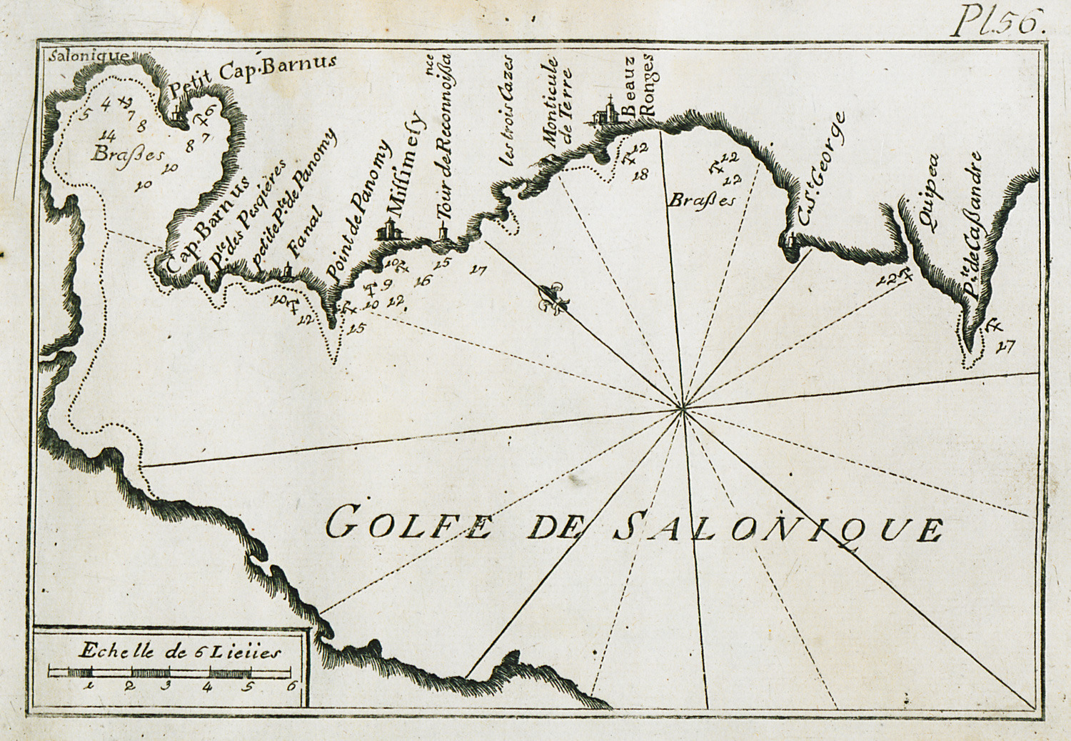
Map of the bay of Toroneos and of Cassandra peninsula in Chalkidiki.
-
-
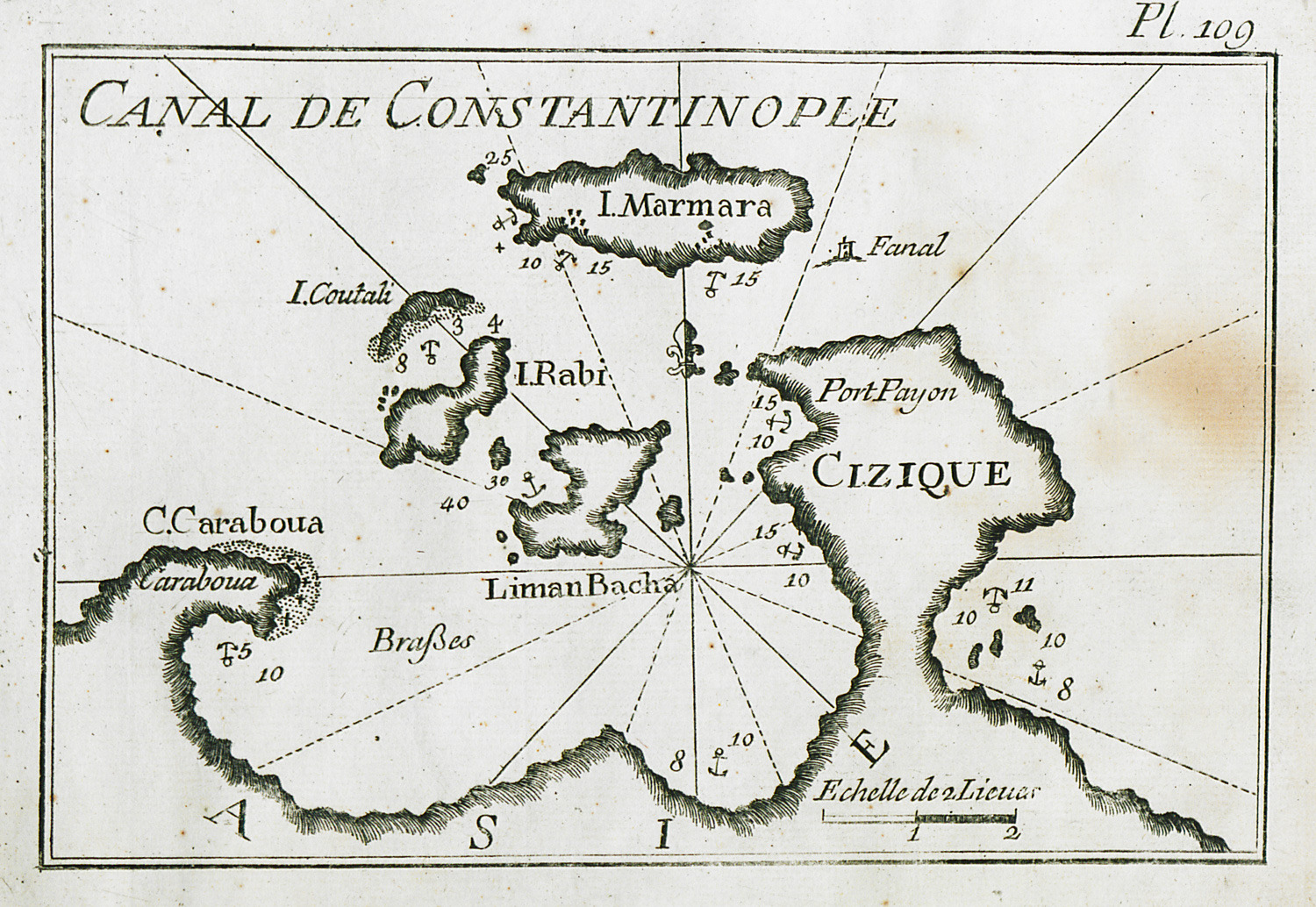
Map of the area of Bandirma (Panormos) and Marmara islands in Marmara Sea.
-
-
-
-
-
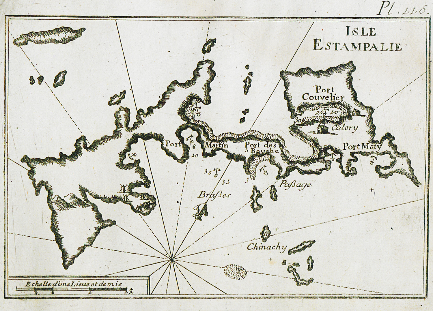
-
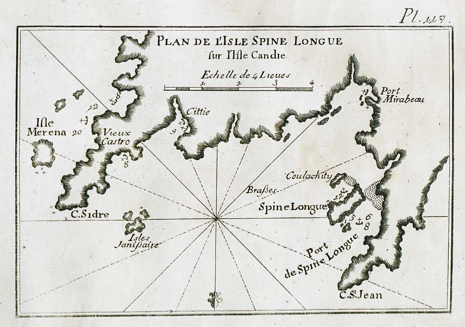
-
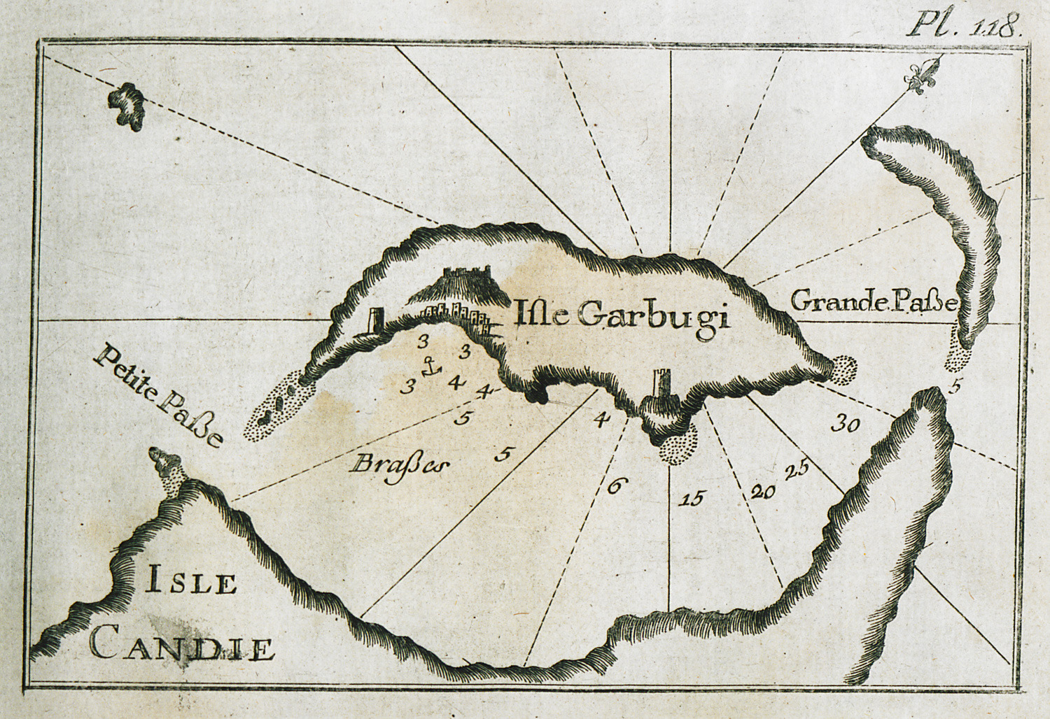
-
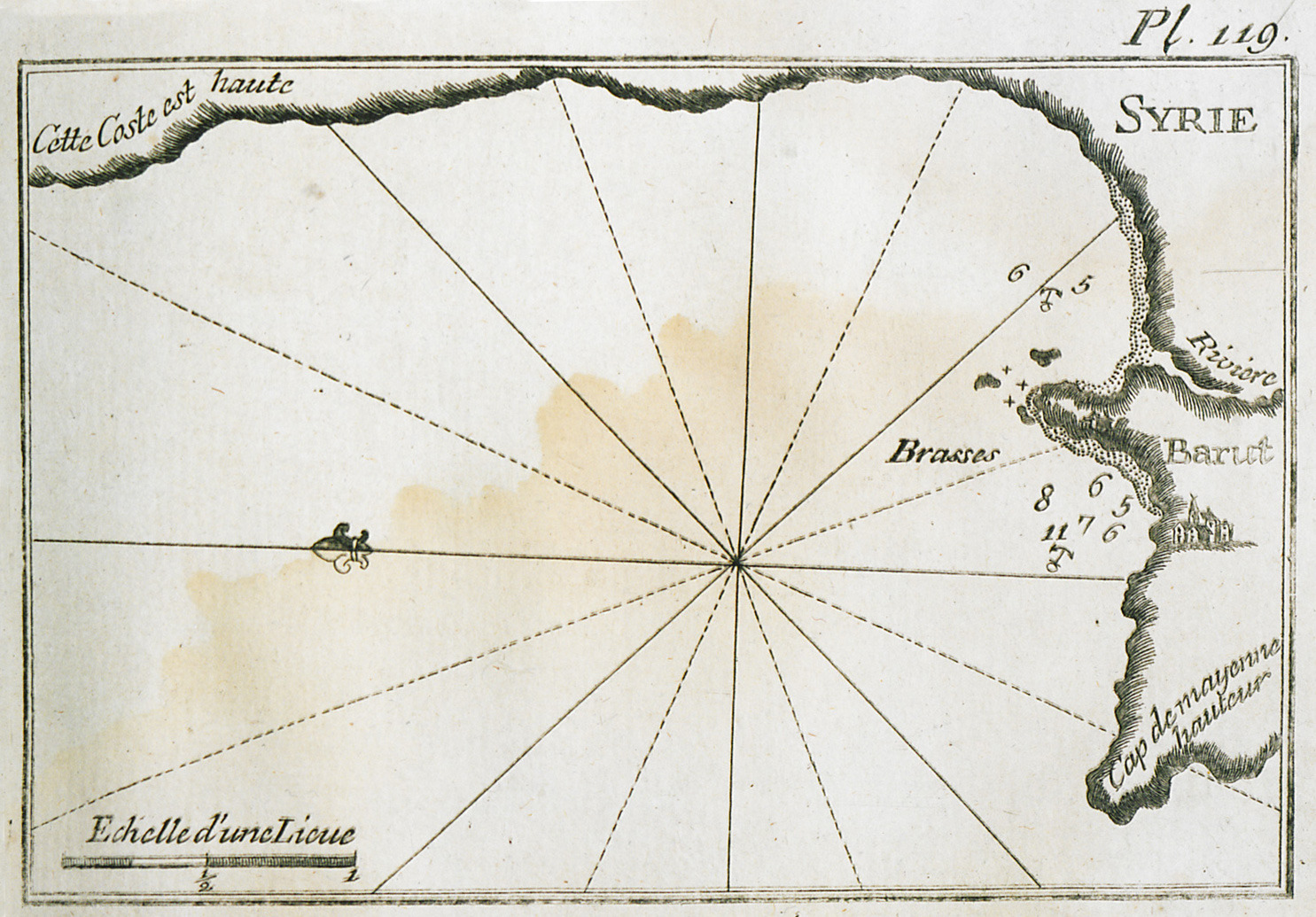
-
-
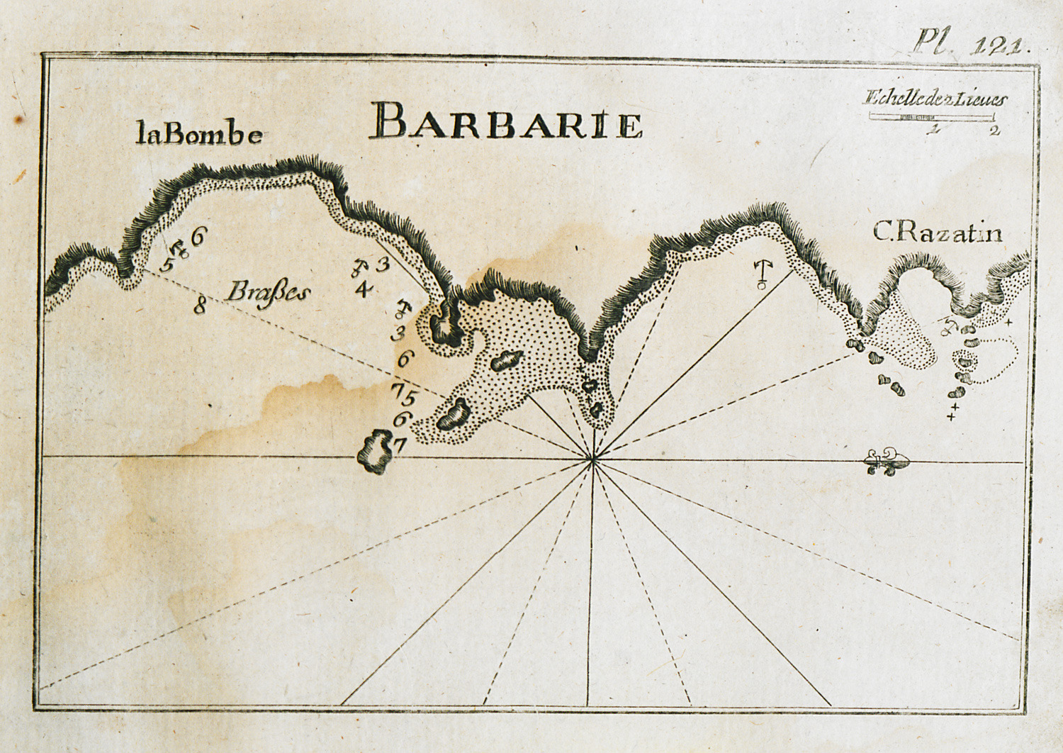
Map of the port and bay of Bumbah and of cape Razatin near Derna, Libya.
-
-
-
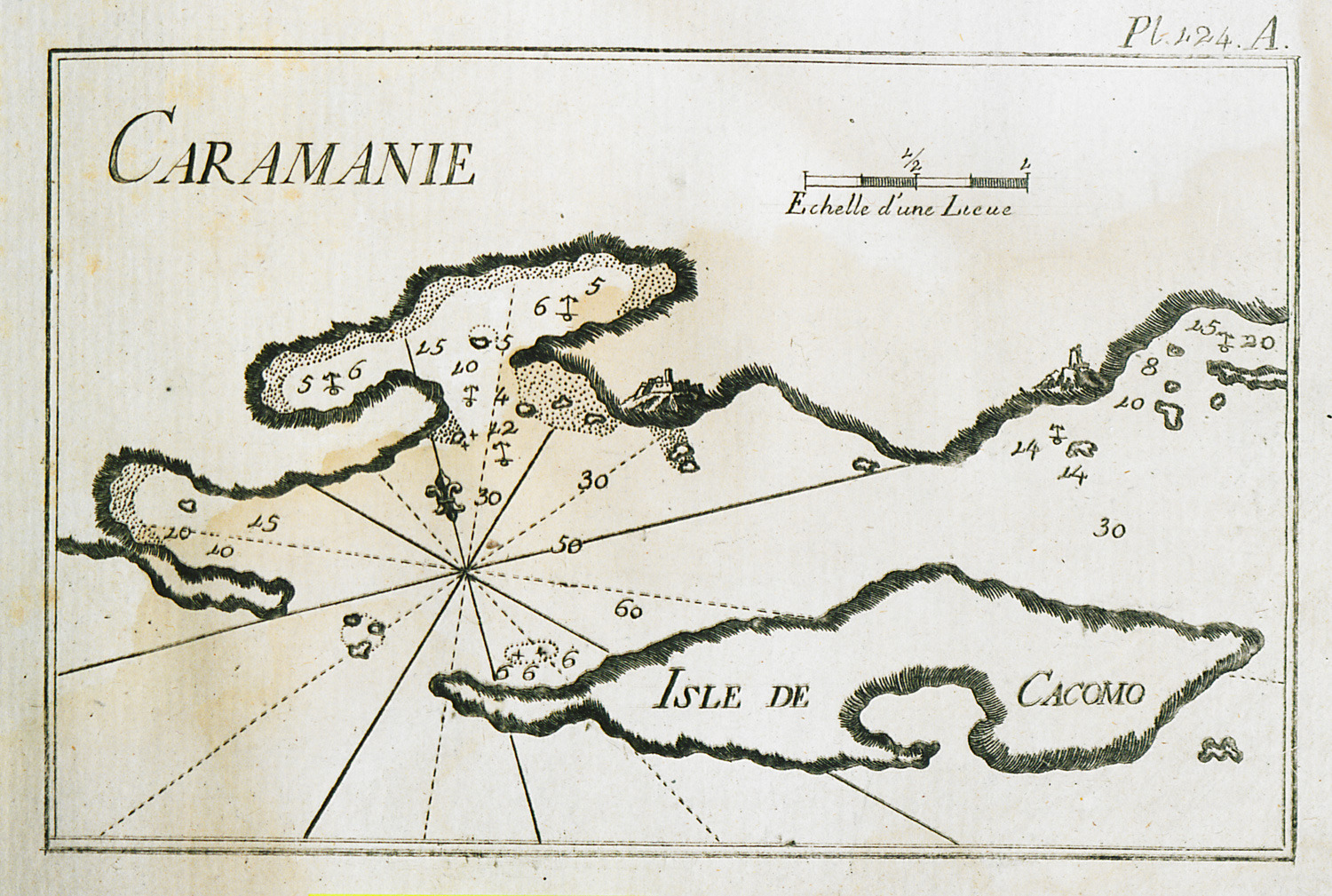
-
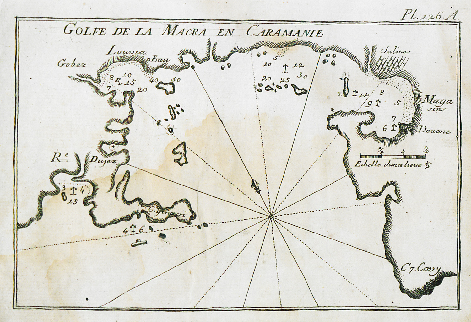
-
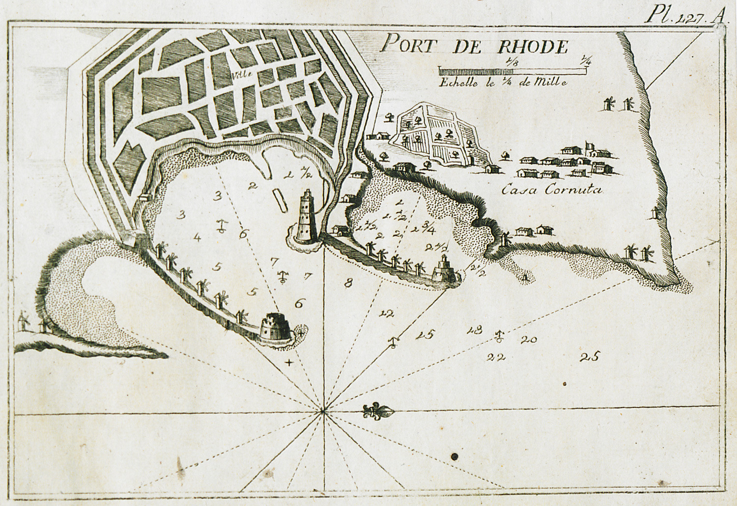
-
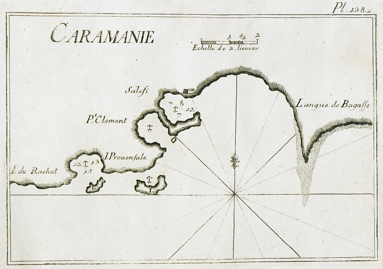
-
-
-
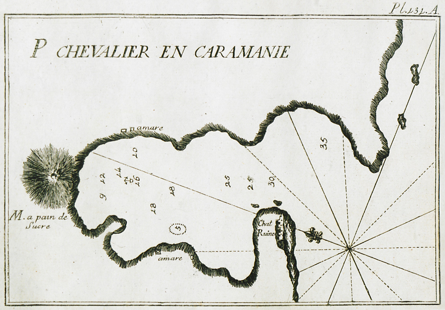
Map of the port of Bozburun near ancient Cnidos, on Datça peninsula, Turkey.
-
-
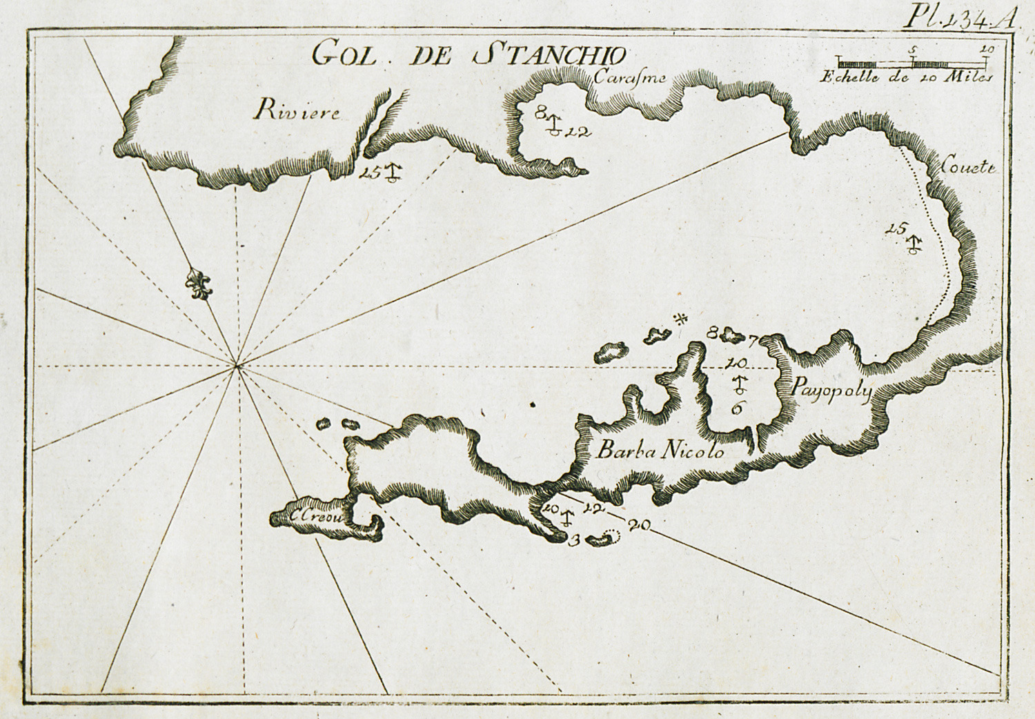
-
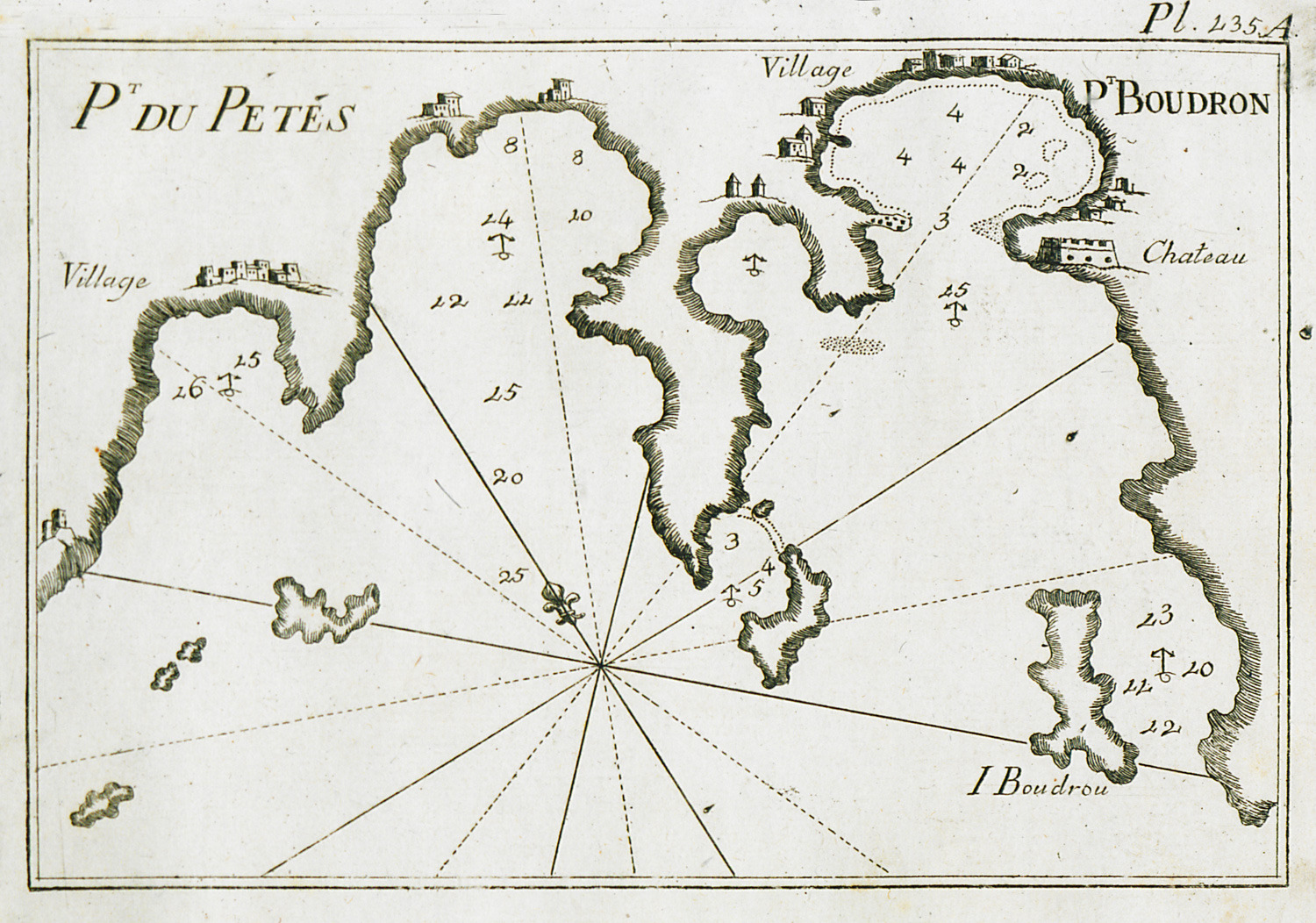
-
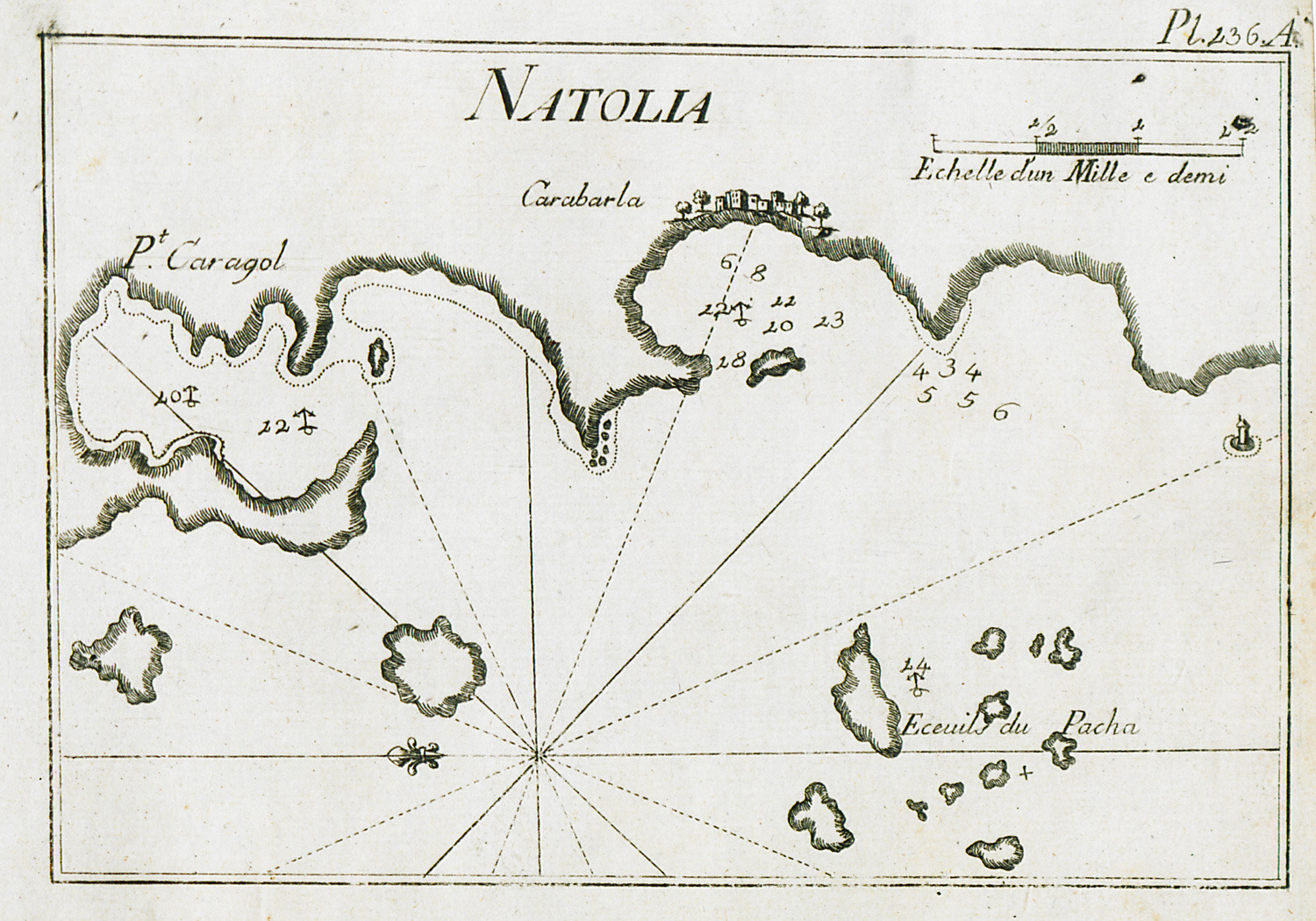
Map of the coast from Gündoğan to Torba, at the northern part of Bodrum peninsula.
-
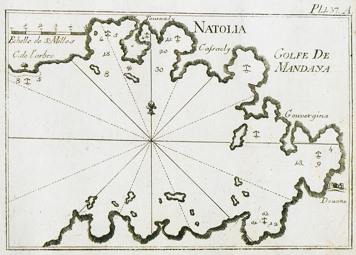
-
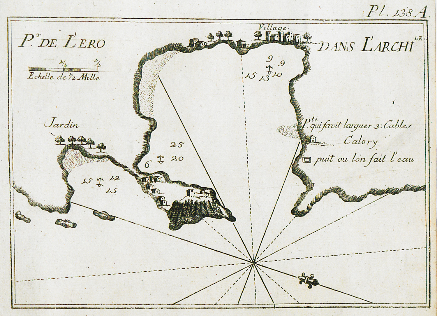
-
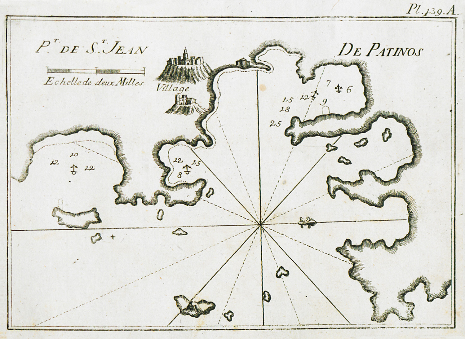
Map of the port of Patmos. View of the city and of the monastery of Agios Ioannis Theologos.
-
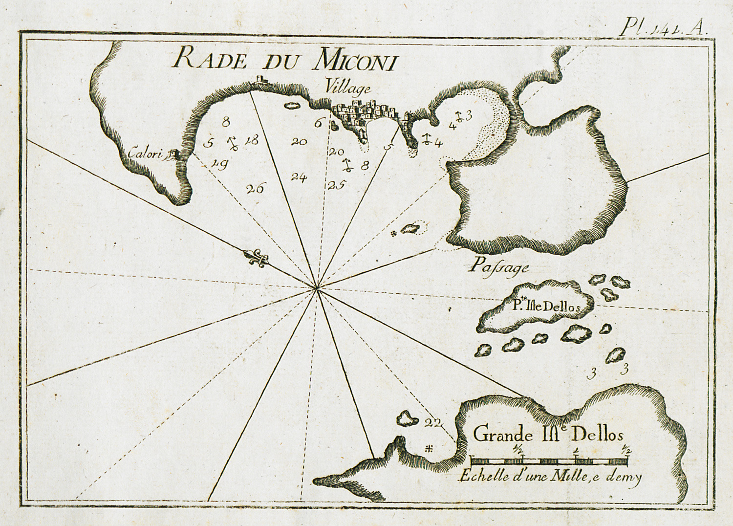
Map of the anchorage of Myconos. View of the Chora of Myconos.
-
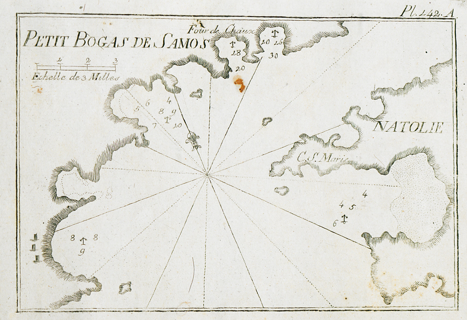
-
-
-
-
-
-
-
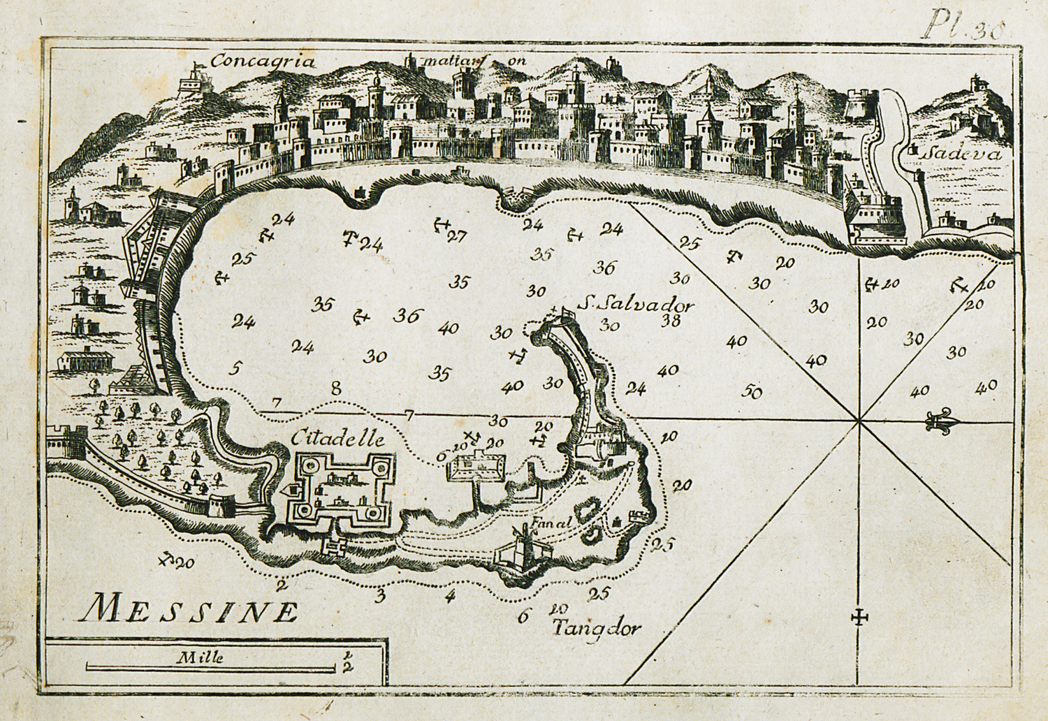
Map of the bay and port of Messina (anc. Zagle) in Sicily. View of the city.
-
-
-
-
-
-
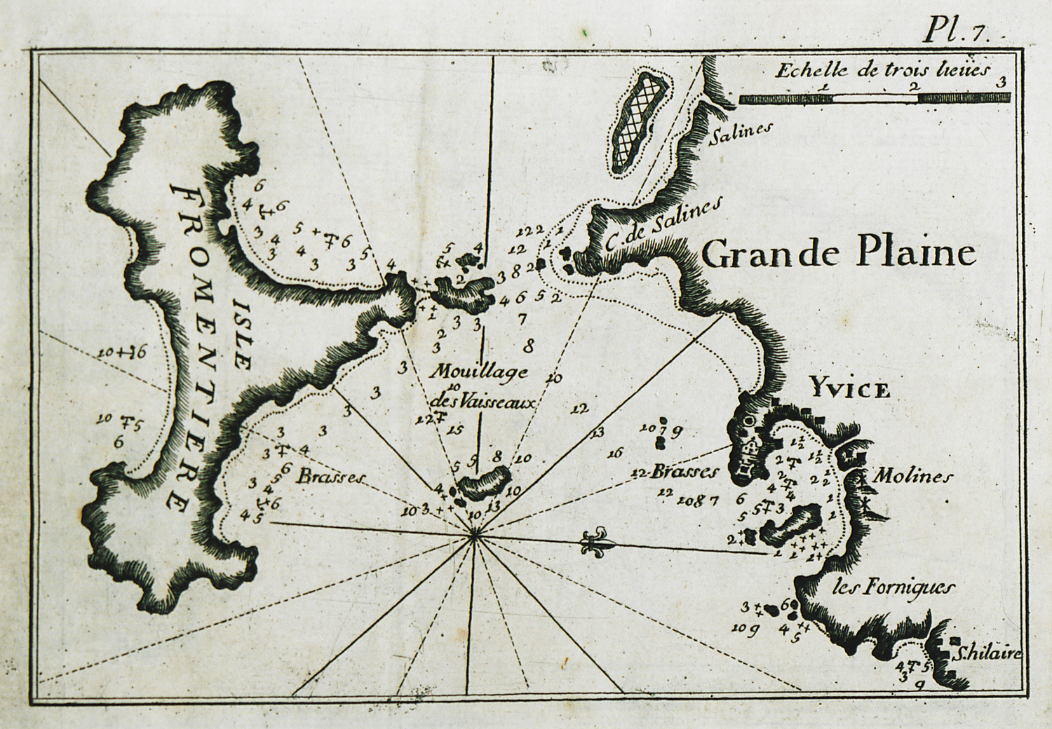
-
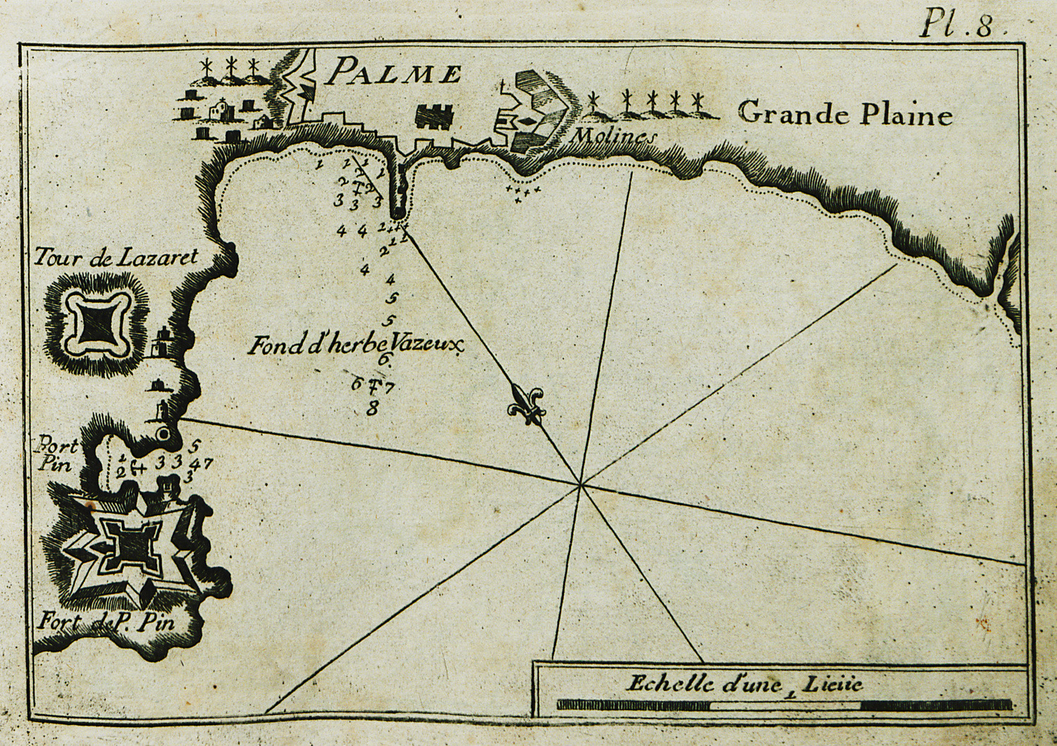
Map of the port and bay of Palma de Mallorca and of the port and bay of Porto Pi (Mallorca).
-
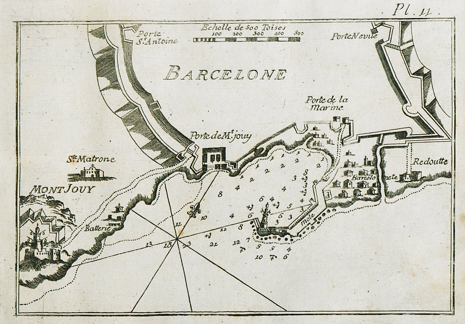
-
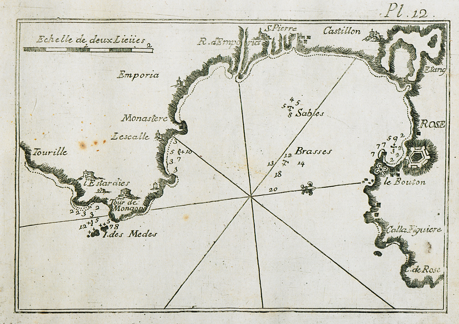
-
-
-
-
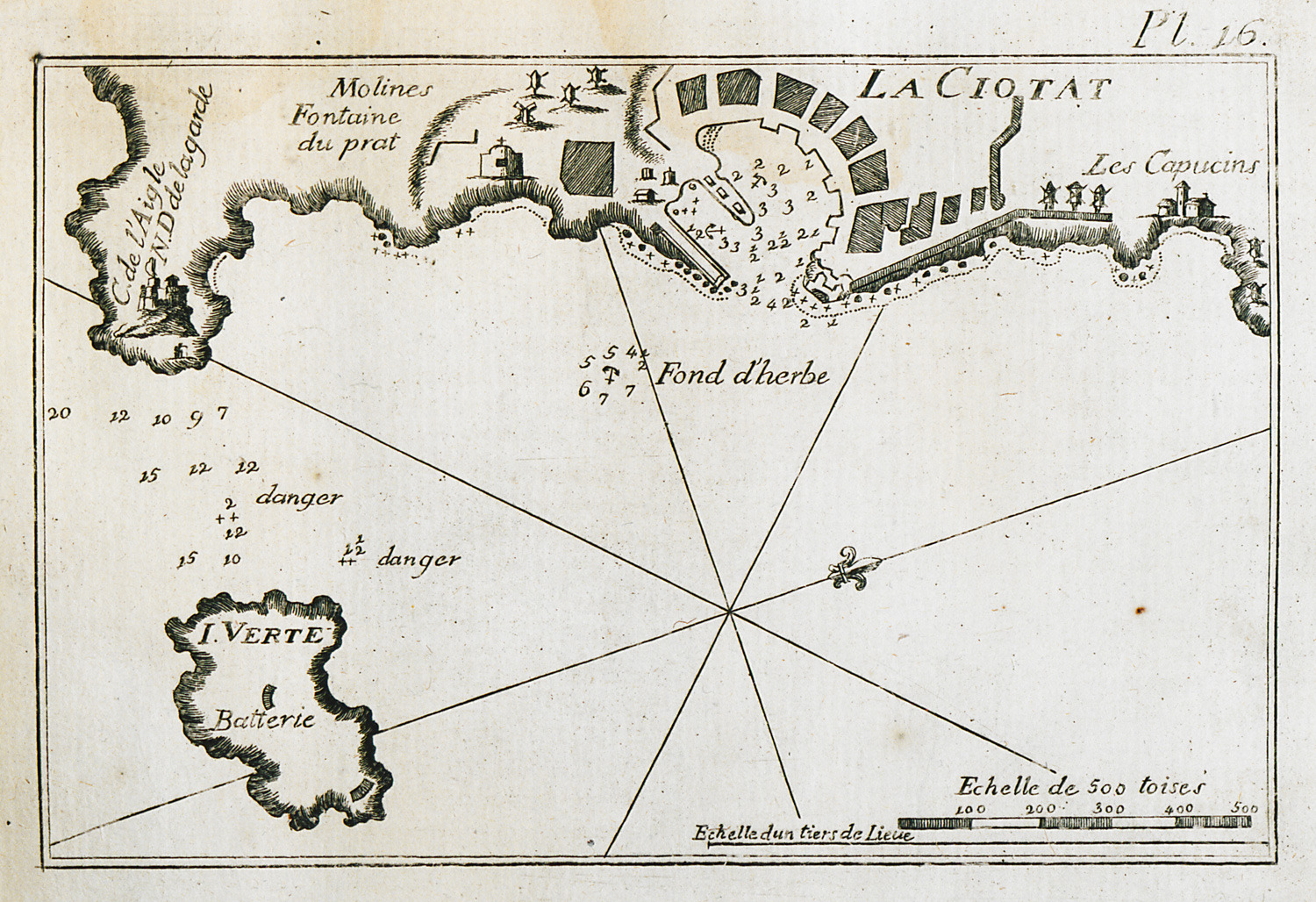
Map of the port of La Ciotat near Marseilles. View of the city.
-
-
-
-
-
-
-
-
-
-
-
-
-
-
-
-
-
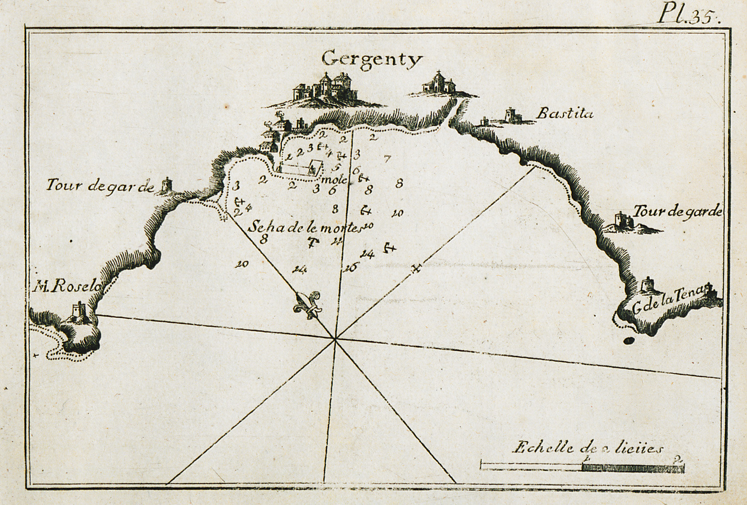
Map of the bay and port of Agrigento in Sicily. View of the city.
-
-
-
-
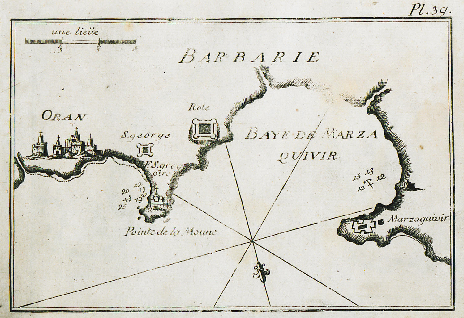
-
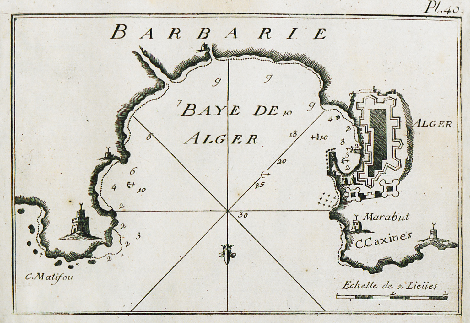
-
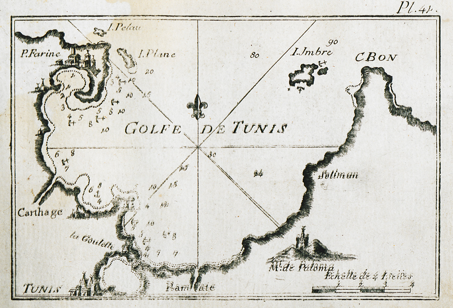
-
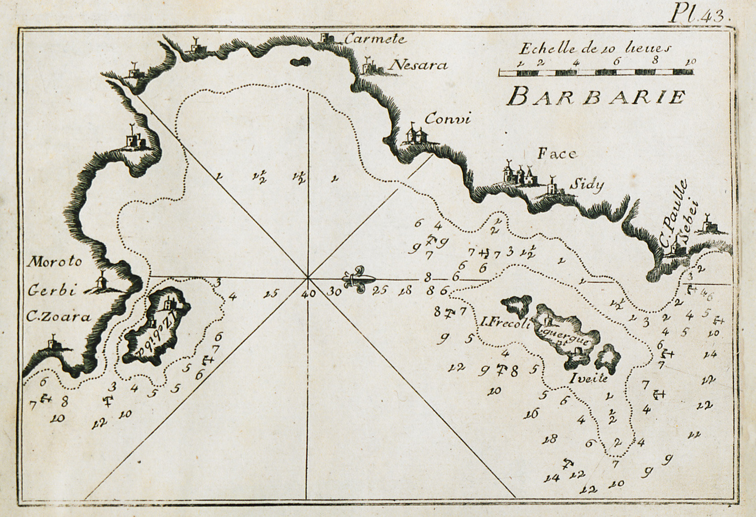
Map of part of the bay of Gabes near Sidi Mansour and Sfax, Tunisia.
-
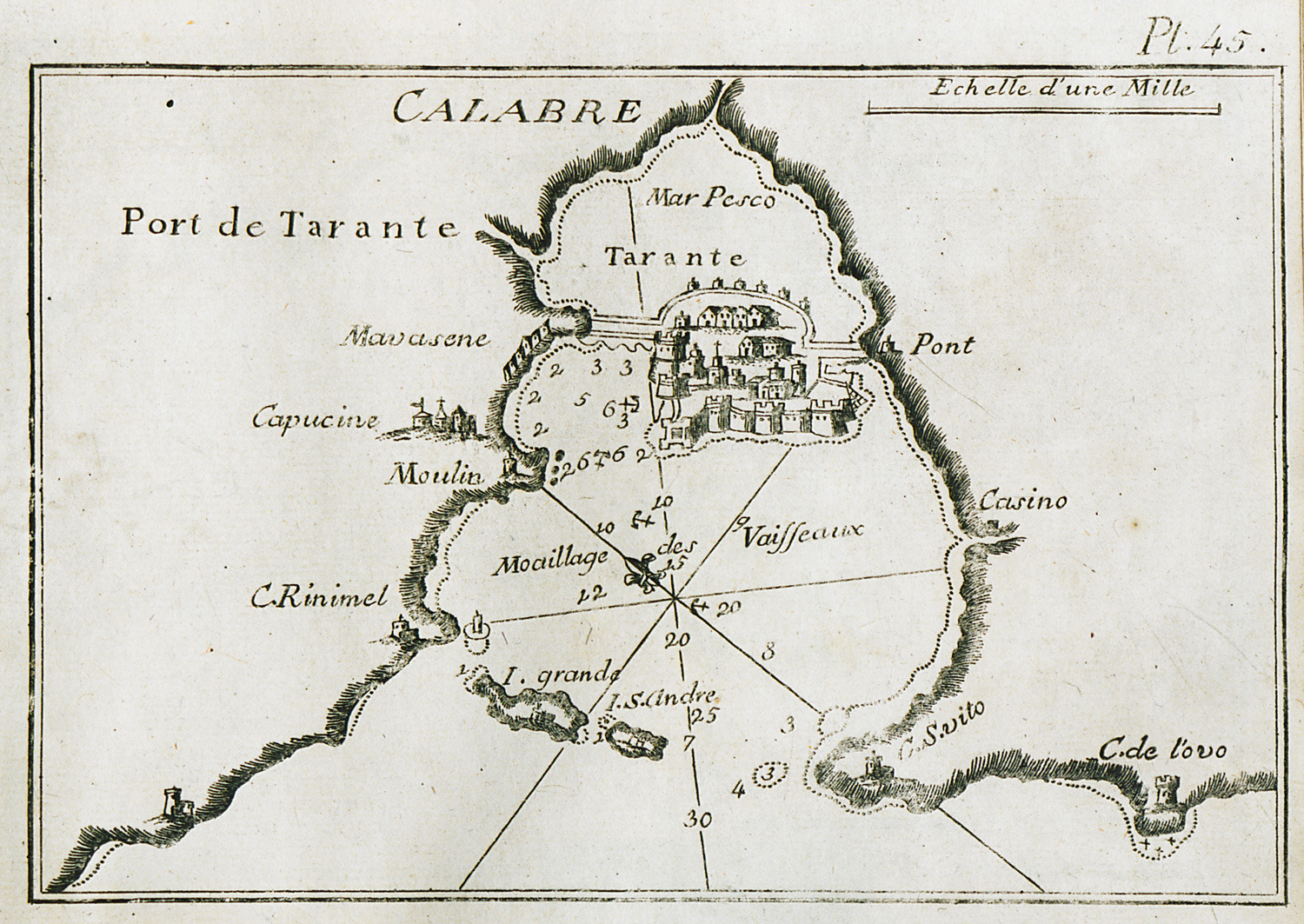
Map of the bay and port of Taranto in Italy. View of the city.
-
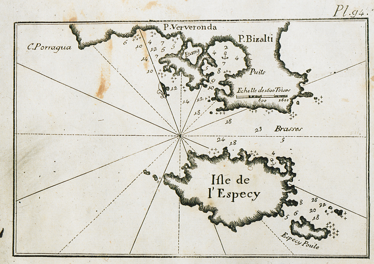
Map of Spetses island, and of the ports of Porto Heli and Ververonta in the Peloponnese.
-
