SELLER, John
İngiliz asıllı sanatçı, haritacı ve kraliyet hidrografı (su bilimi uzmanı) John Seller (1630-1697), kıyıları ilk kez ayrıntılı biçimde kaydeden «English Pilot...» başlıklı eserin yaratıcısı olarak tanınır. Bu eser Seller'in ölümünden sonra bile birçok kez yeniden basılmış ve 19. yüzyılı da içeren uzun bir süre için rehber olarak kullanılmıştır. Seller'in kıyı liman ve demirleme yerleri betimlemesi ilerideki birçok harita yayınını etkilemiştir (J. Bellin, Roux v.b. haritaları).
Seller harita, atlas, yıllık (almanac), astronomi haritaları ve gemiciler için ilk esaslı kullanım rehberlerini yayınlamıştır. 1671 yılında İngiltere kralı II. Charles tarafından resmî kraliyet hidrografı ilân edilir ve yaklaşık 30 yıl süreyle harita yayını tekelini elinde tutar. Kurmuş olduğu yayınevi büyük ve küçük boy haritalar (astronomi, kara ve deniz haritaları)'dan başka gemiciler için her çeşit kullanım rehberi, el kitapları, gemicilik cihazları ve çeşitli aletler satar. Dükkanı Londra'nın gemiciler tarafından pek uğranan bir semtinde bulunmaktaydı; nitekim gelip geçen müşteriler orada "...aritmetik, geometri, cebir, trigonometri, gemicilik ve balistik dersleri..." izleyebilir ve çeşitli gemicilik aletlerinin kullanılış biçimini öğrenebilirdi. Seller'in şirketi Thornton ve Fischer şirketi tarafından müthiş bir rekabete maruz kalır; nitekim en sonunda Thornton ve Fischer Seller'in birçok yapıtının yayın hakkını elde ederler.
Seller'in uzun meslek hayatı boyunca yayınladığı eserler arasında “Praxis Nautica» (1669), «Atlas Maritimus» (1669), «Atlas Terrestris» (1676) başlıklı kitaplar ve gemicilik sanatı hakkında bir özet kitabı yer almakta (1681). Seller'in haritaları çizim ve estetik sonuç açısından pek bakımlı olmamakla birlikte, gemici haritaları arasında ingilizce dilini "yerleştirmek" usûlü ile ingiliz harita bilimine ve 17. yüzyıl harita üretimine önemli katkıda bulunmuştur.
Yazan: İoli Vingopoulou
SELLER, John - Lesbos
-
-
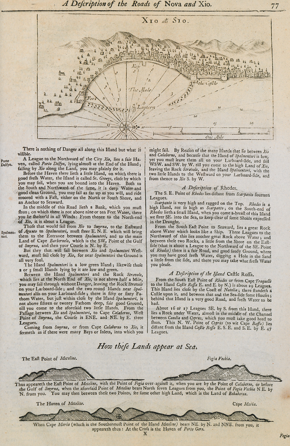
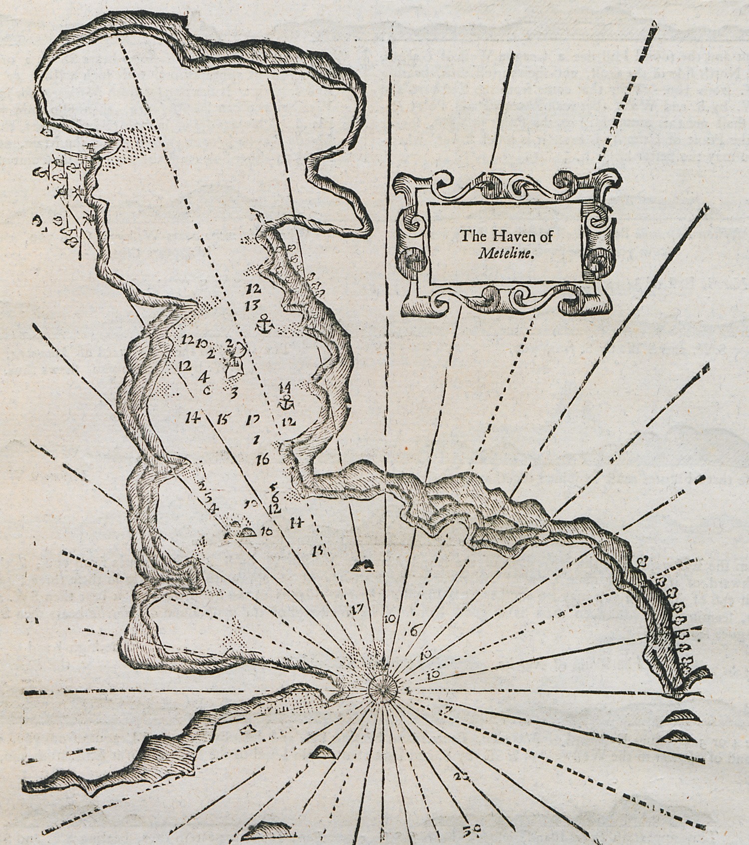
Nautical chart of the port of Chios. Outline of the coasts of Lesbos island and Foça in Asia Minor.
-
-
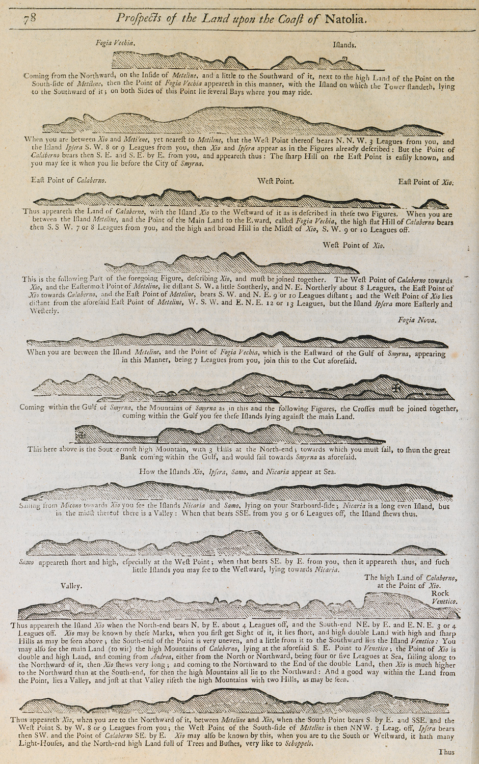
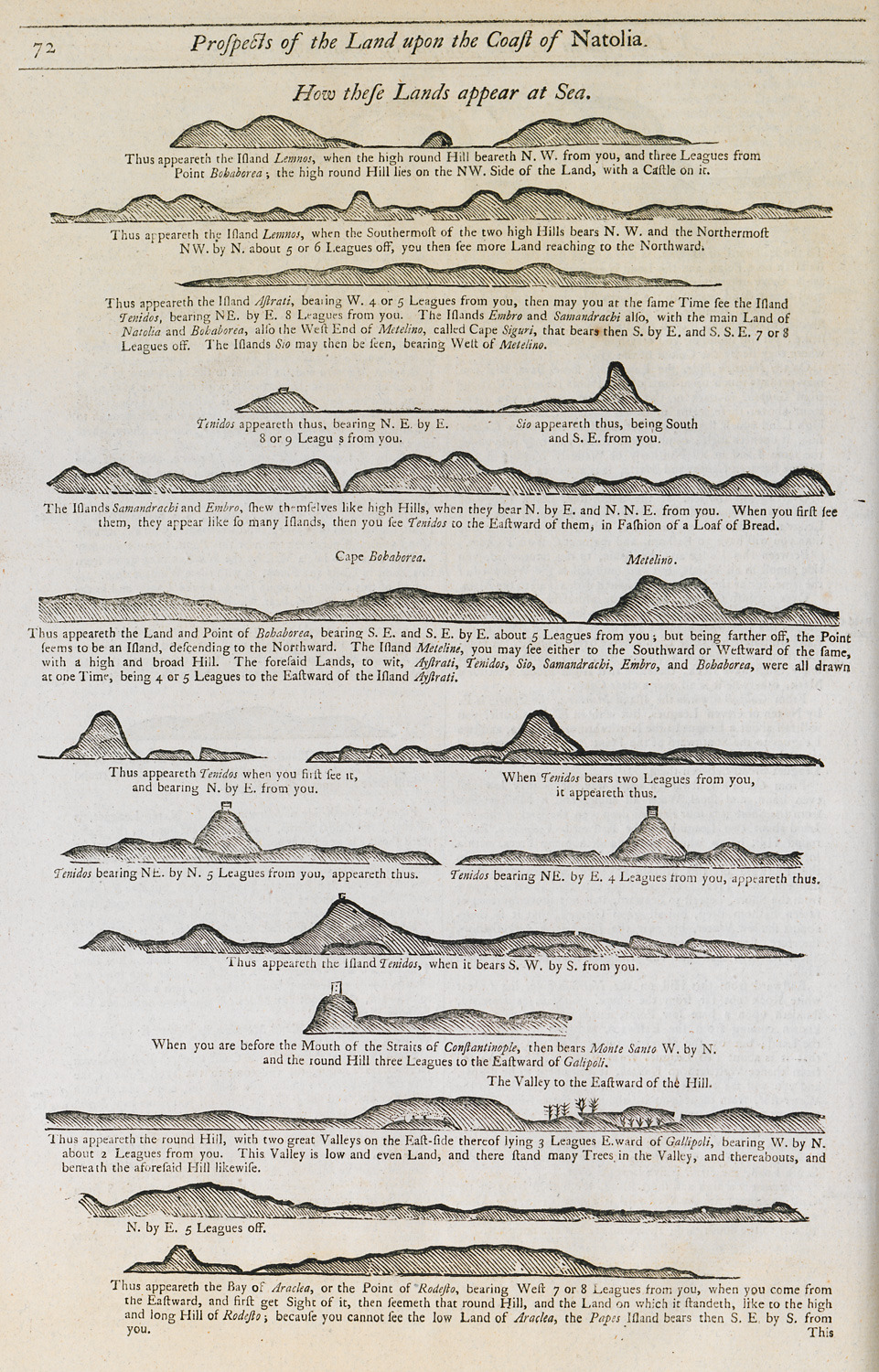
Outline of the coasts of Lesbos, Chios, Samos and Icaria islands as seen from the sea.
SELLER, John - Rest Images
-
-
-
-
-
-
-
-
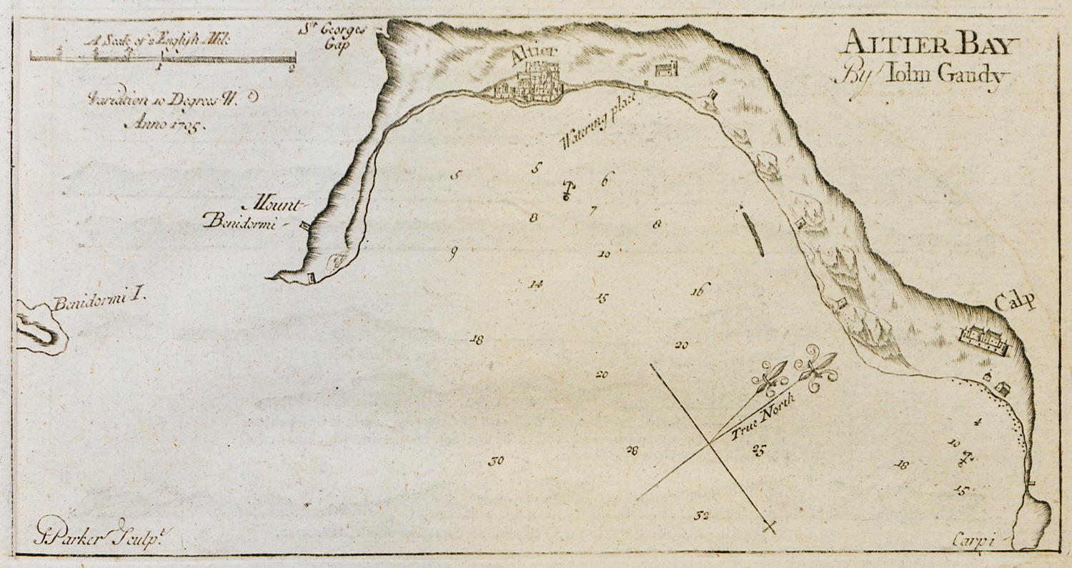
-
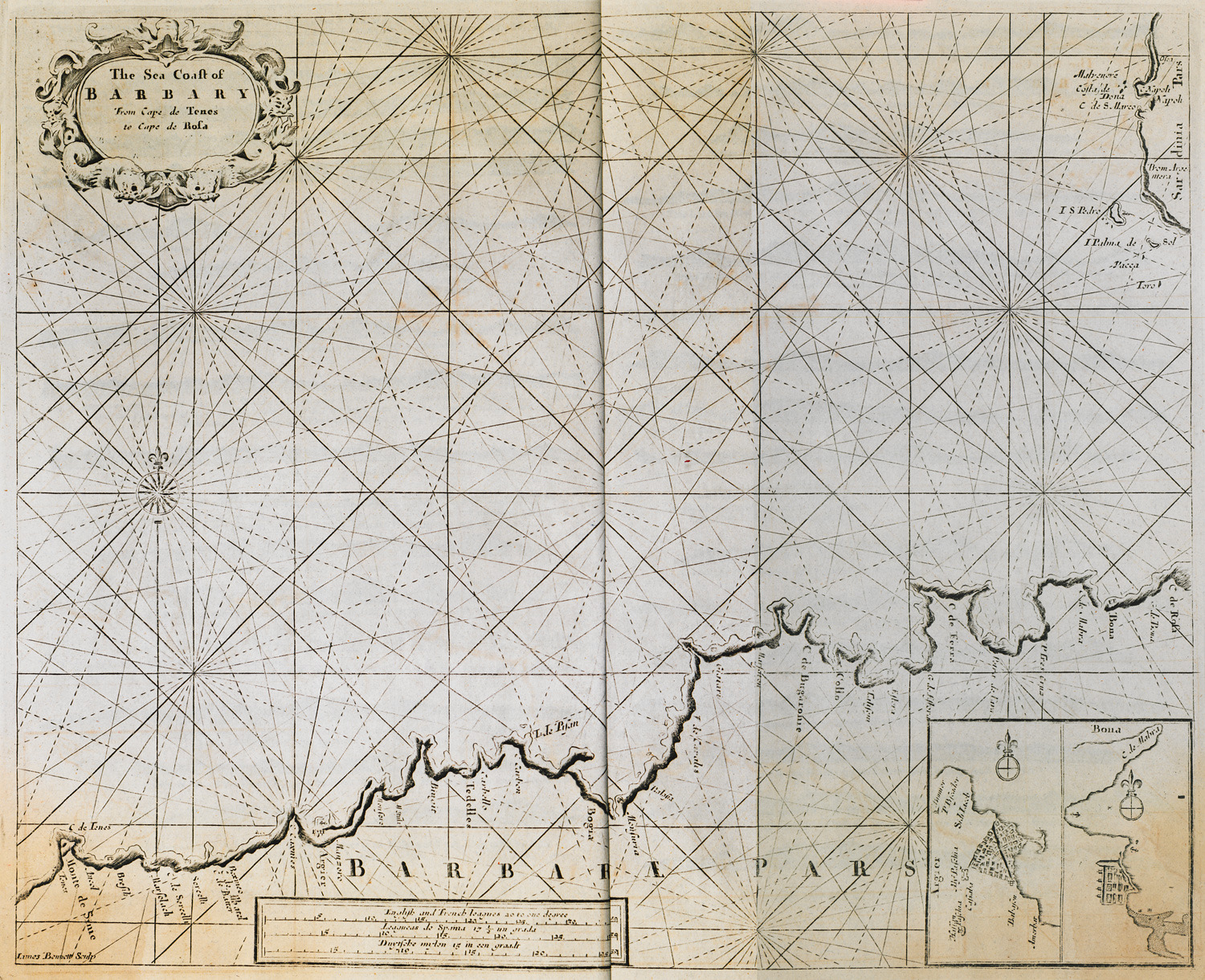
-
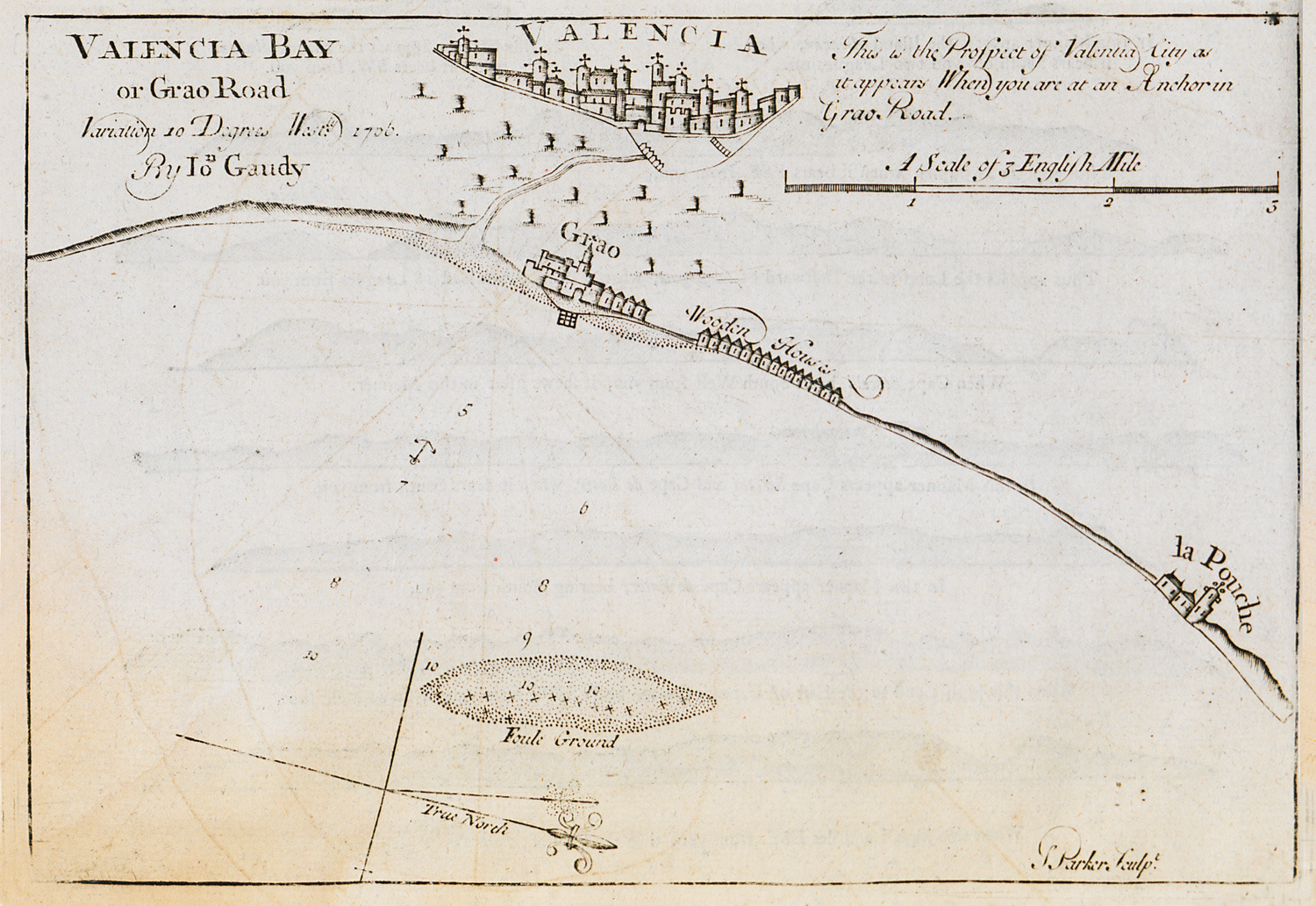
-
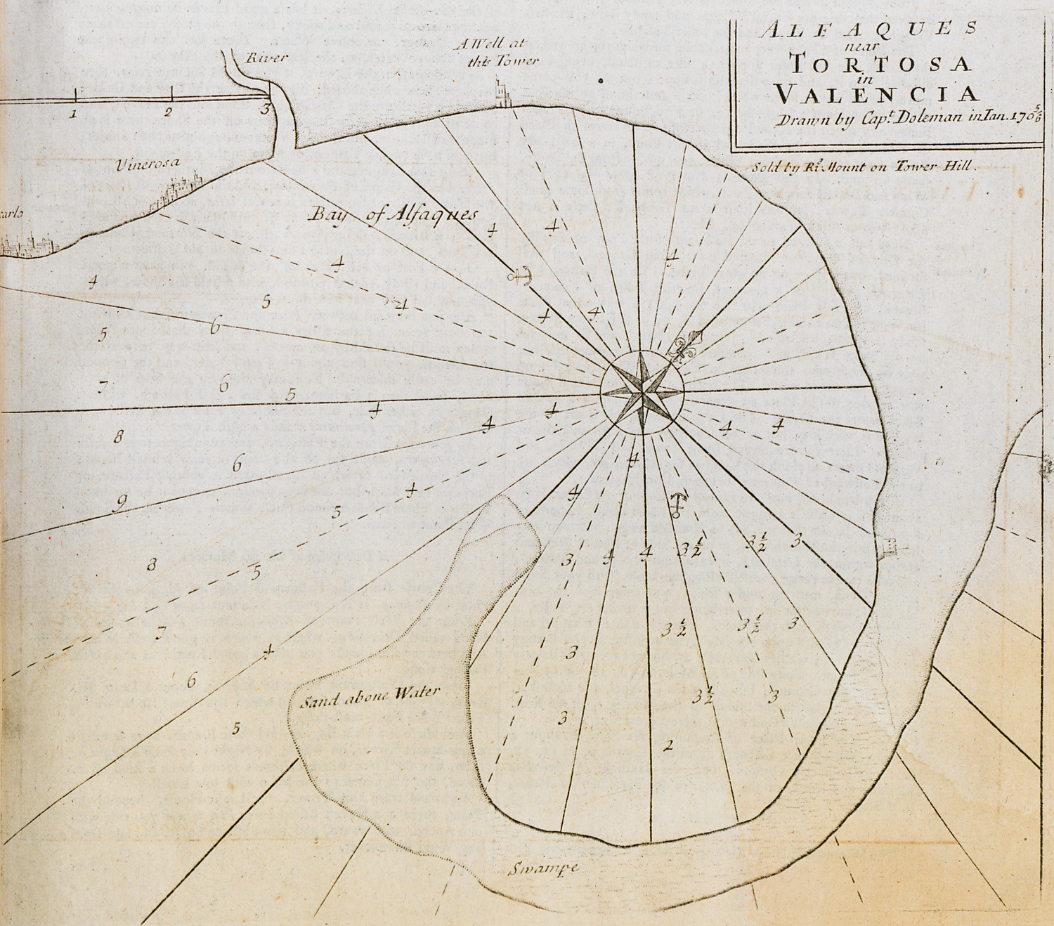
Nautical chart of the bay of Alfacs near the village of Alcanar.
-
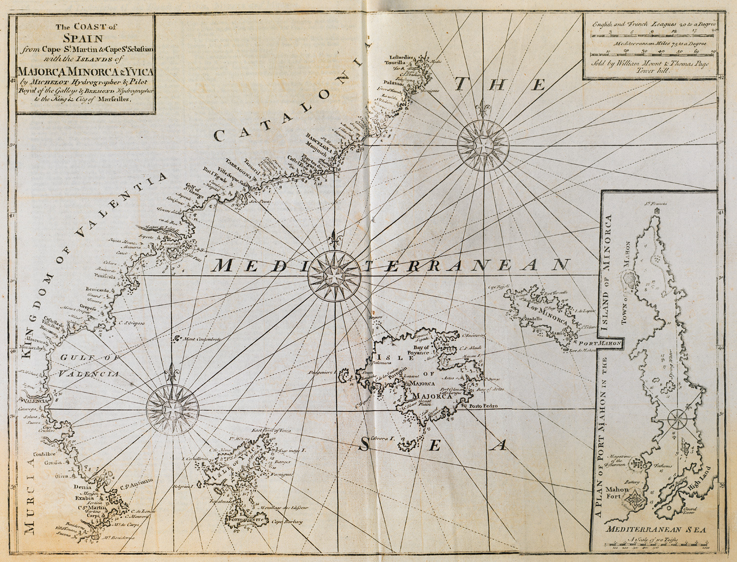
Nautical chart of the Balearic islands and the coast of Spain from Murcia to Barcelona.
-
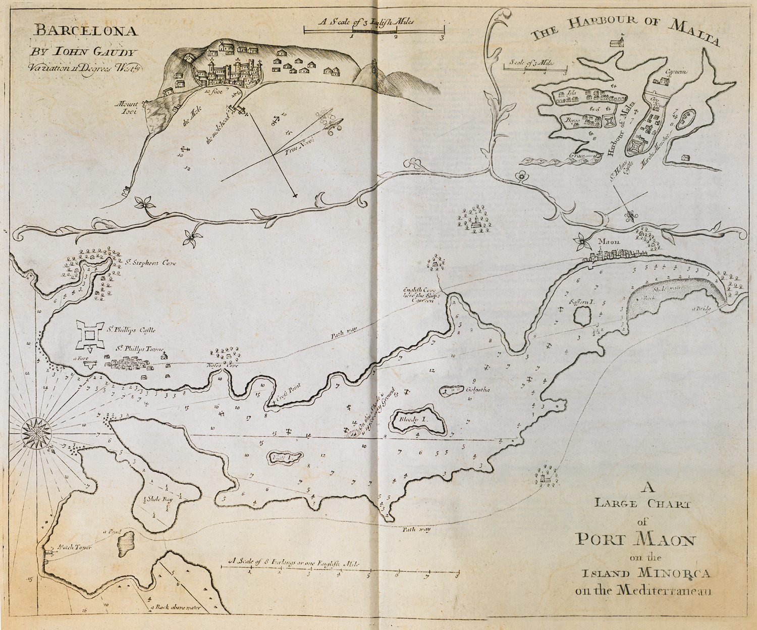
-
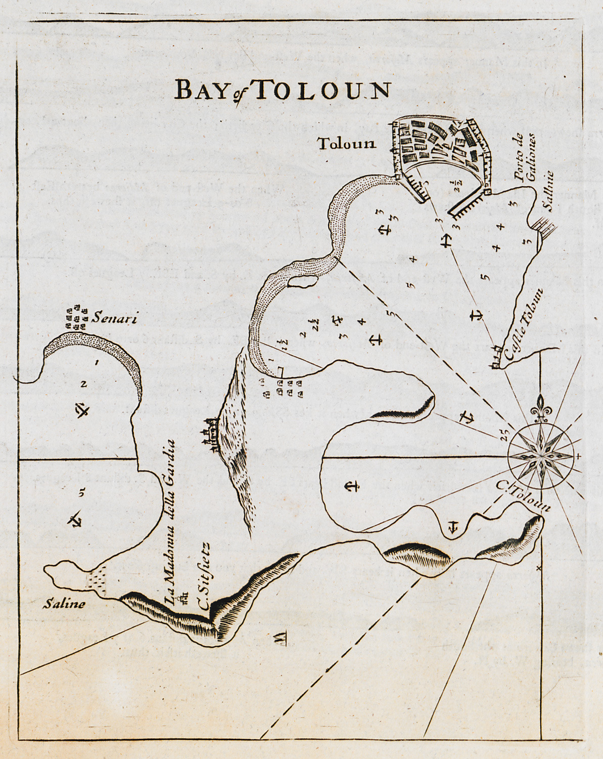
-
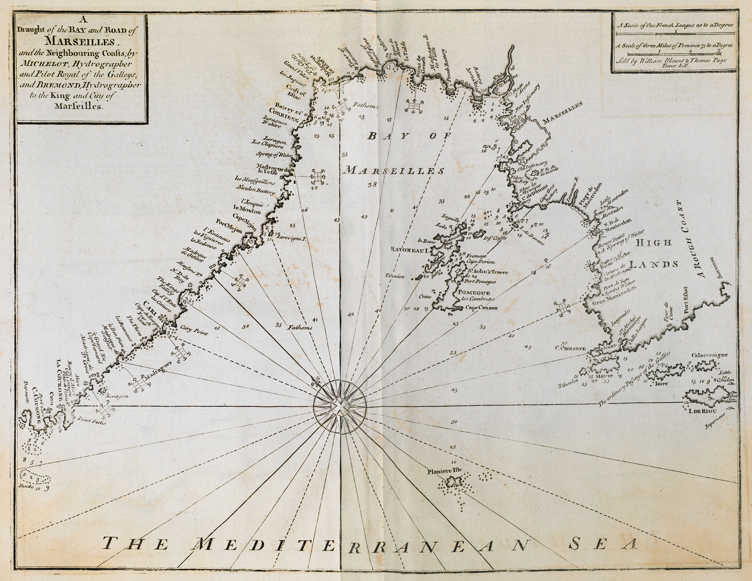
-
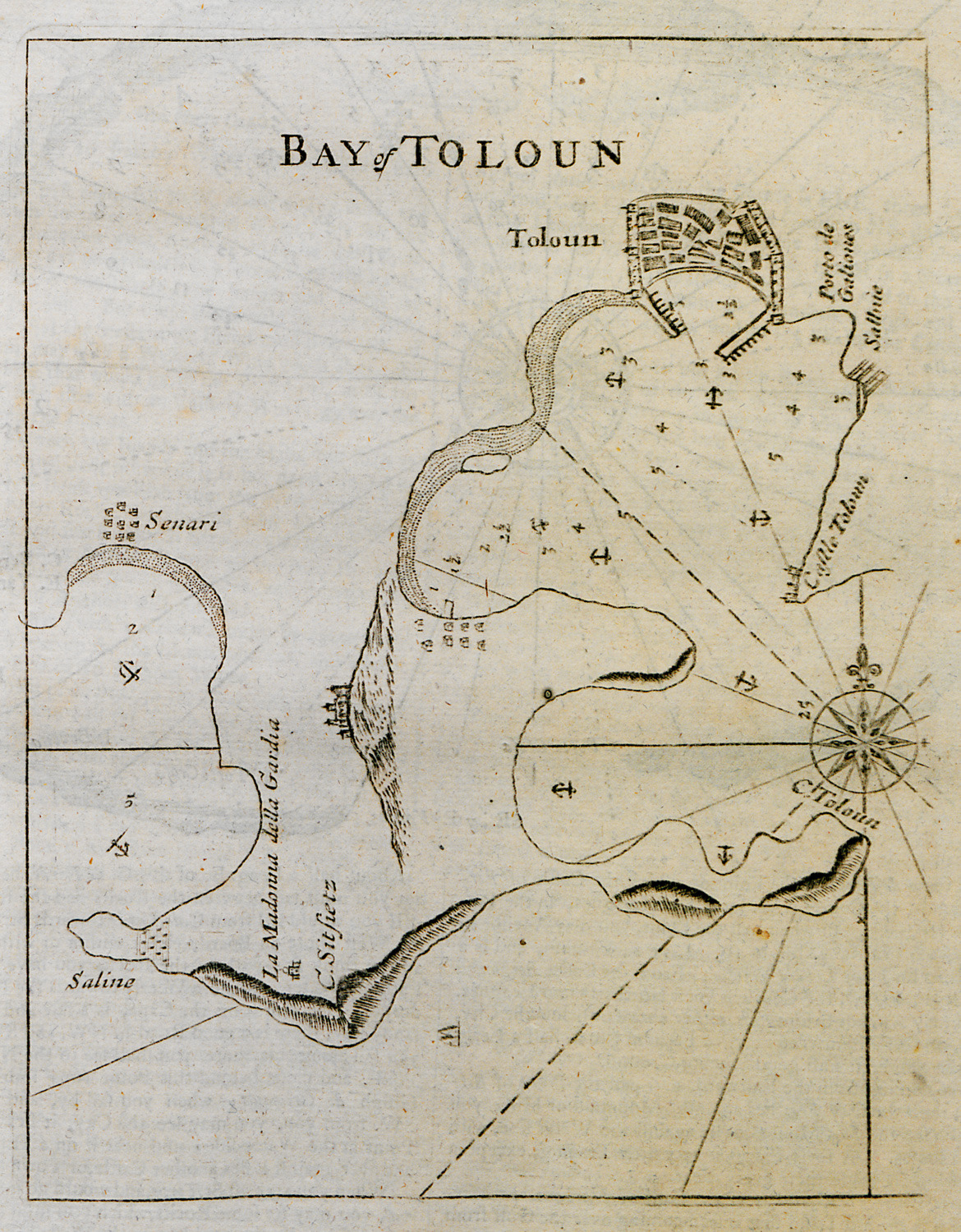
-
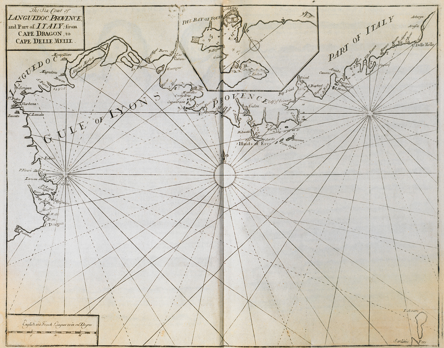
-
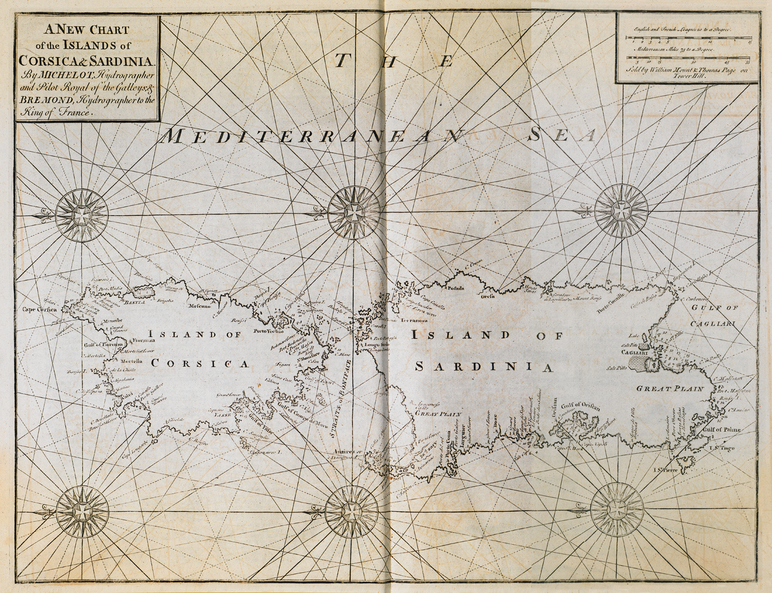
-
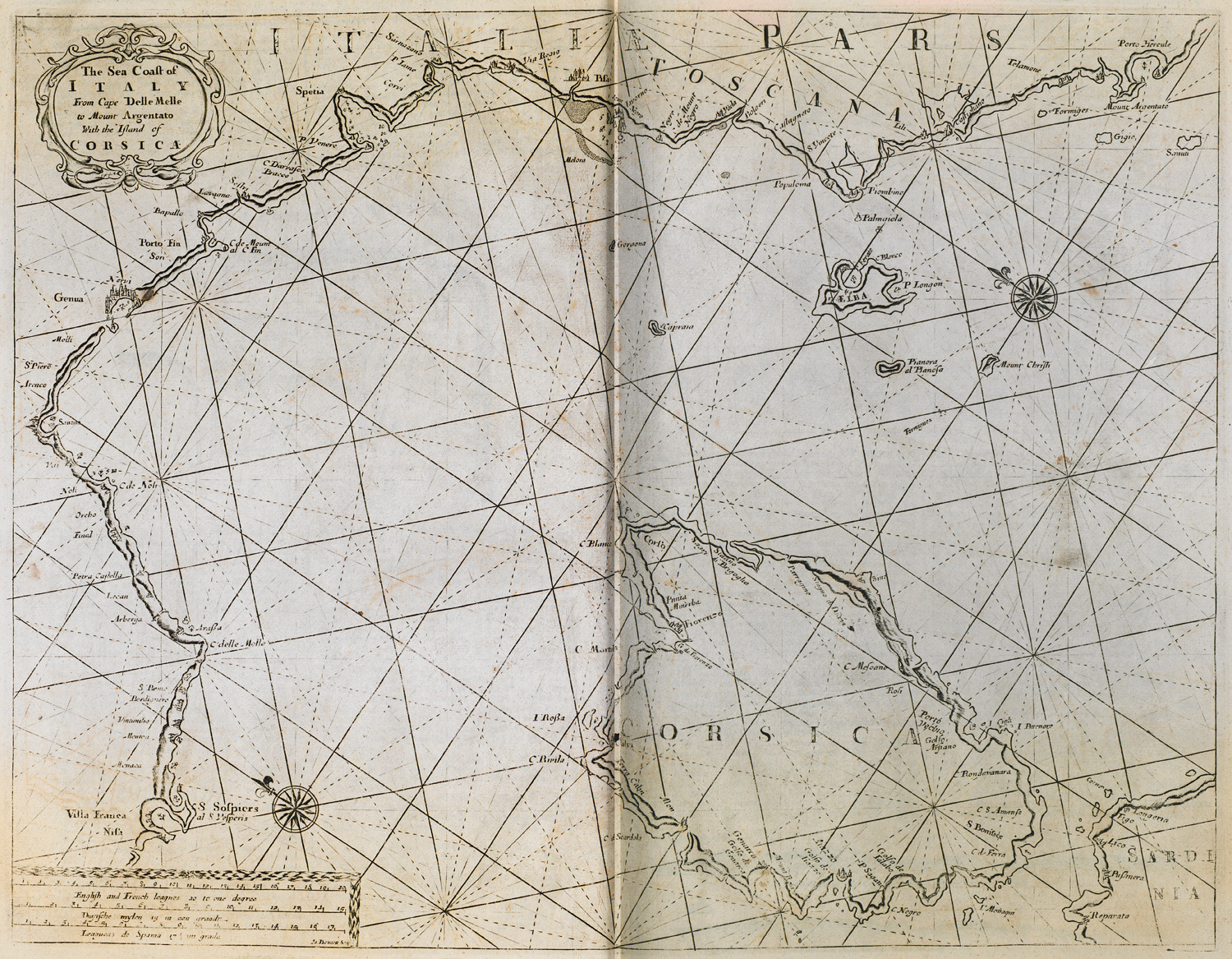
Nautical chart of Corsica and the northwestern coast of Italy.
-
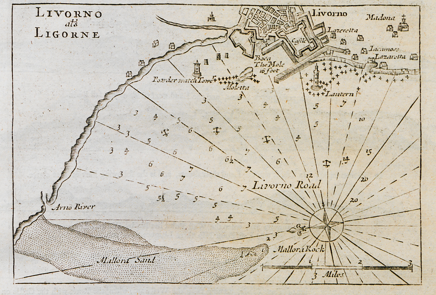
-
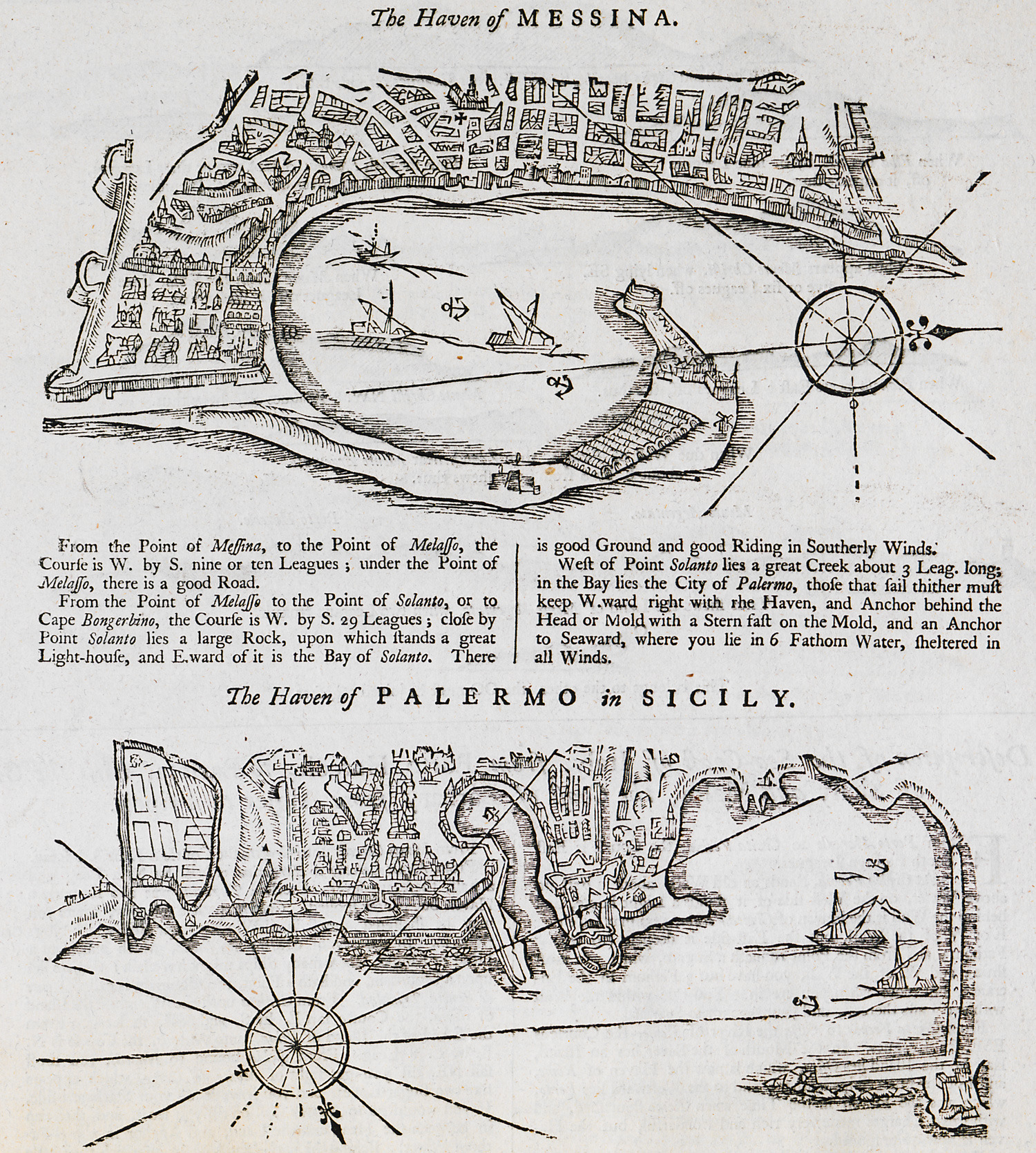
Nautical chart of the bay of Messina, Sicily. Nautical chart of the port of Palermo, Sicily.
-
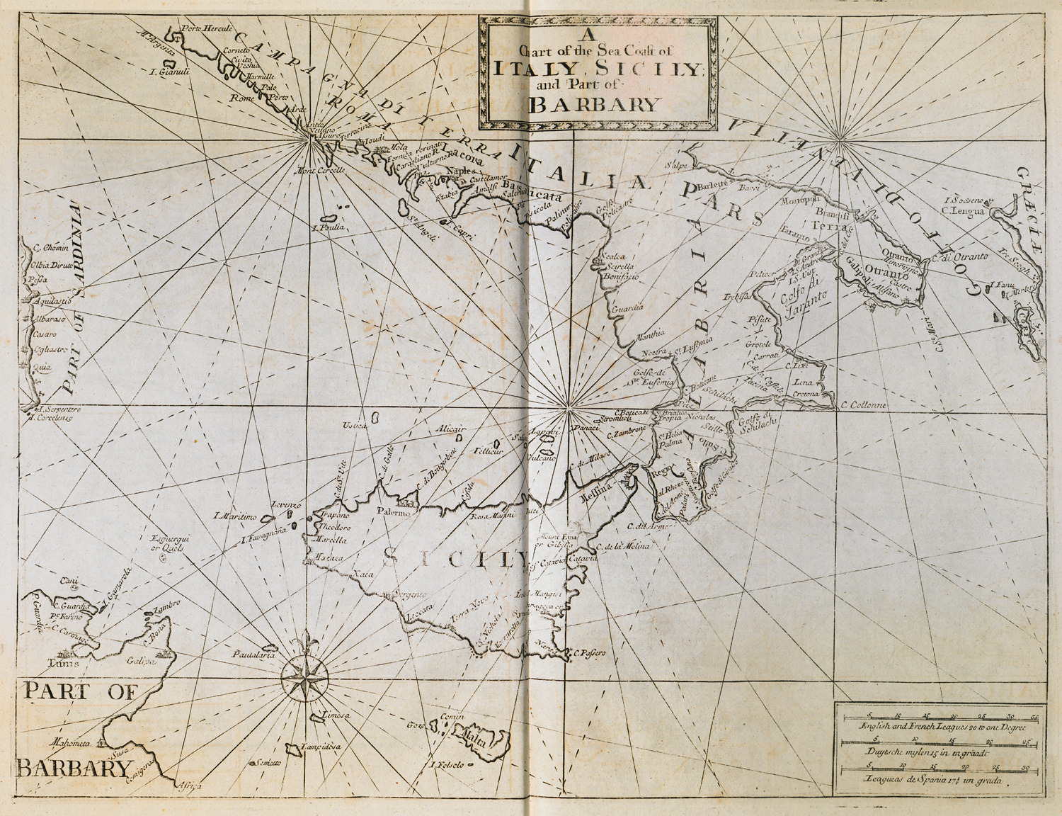
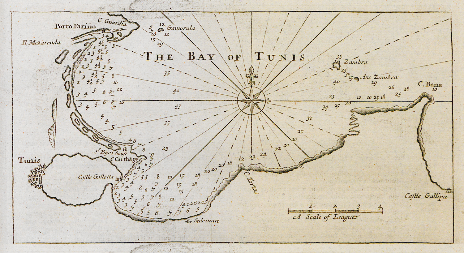
Nautical chart of Sicily and the adjacent coasts of Italy and Tunisia.
-
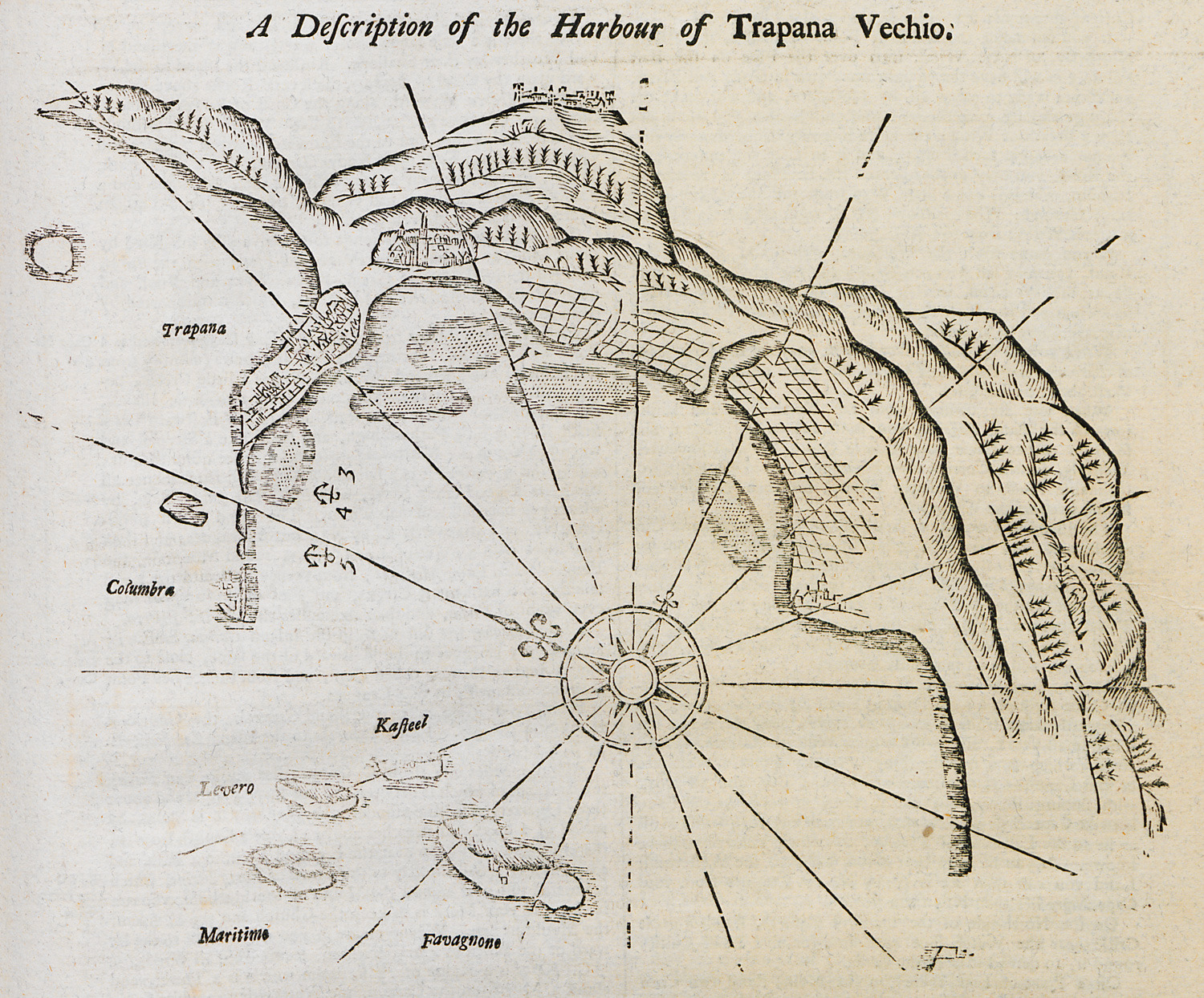
-
-
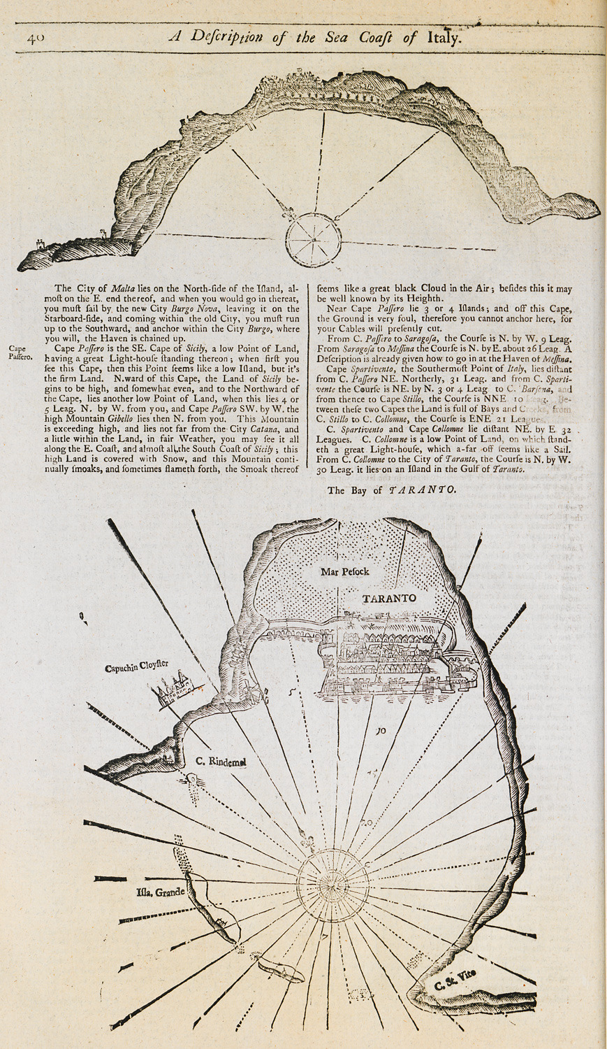
Nautical chart of the bay and promontory of Passero, Sicily. Nautical chart of the bay of Taranto.
-
-
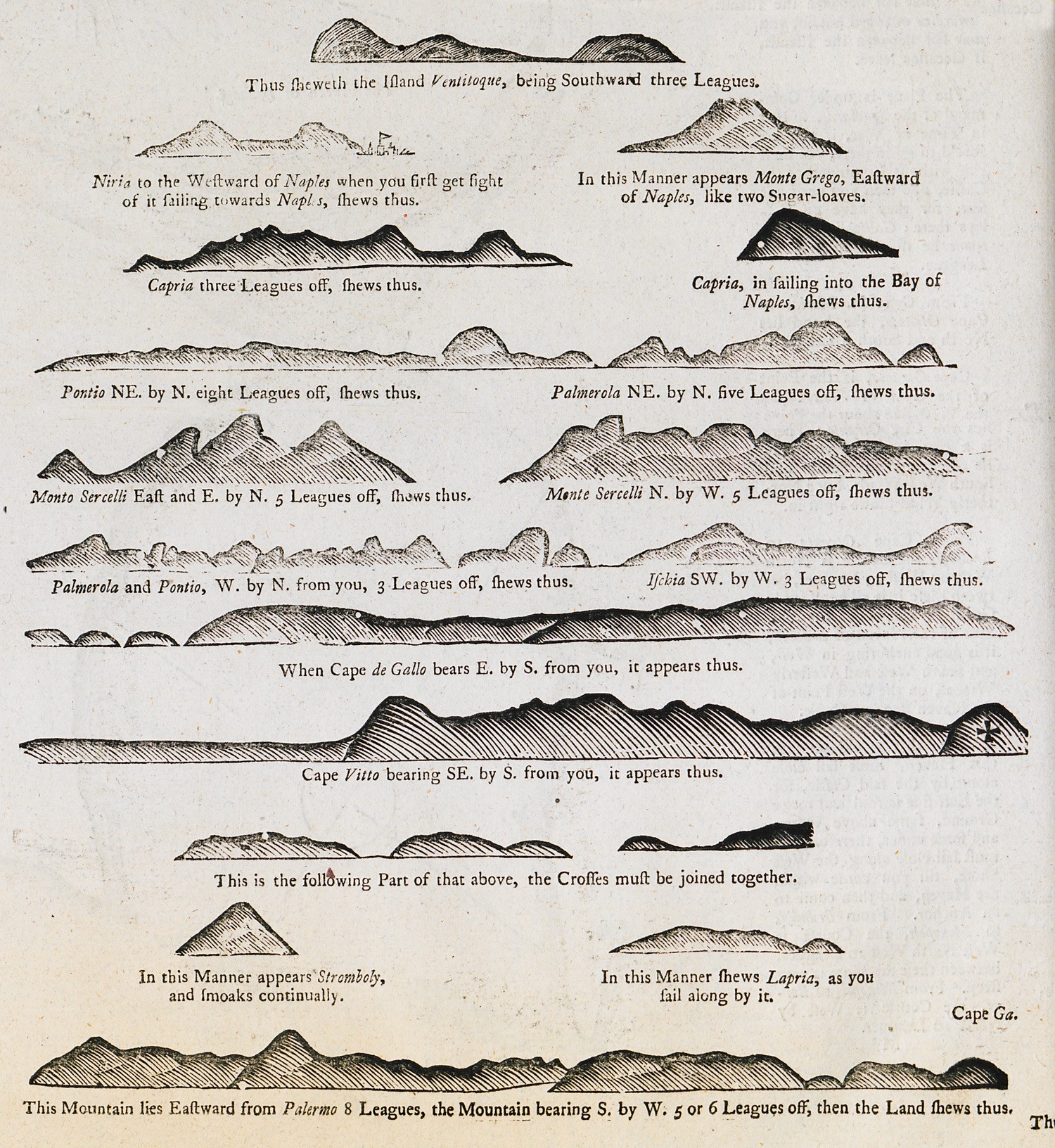
Outlines of coasts and mountains of Italy as seen from the sea.
-
-
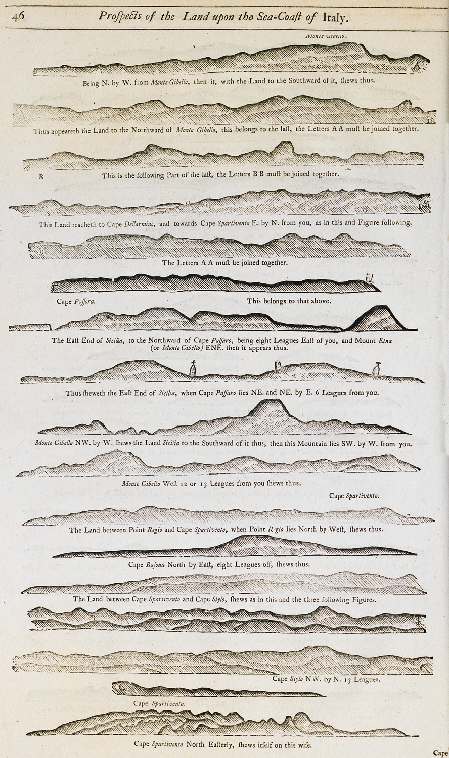
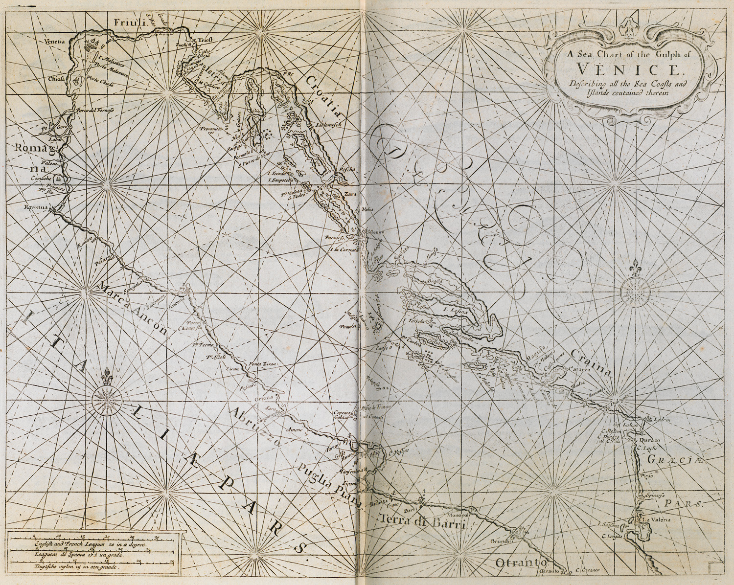
Outline of the coasts at the gulf of Venice as seen from the sea.
-
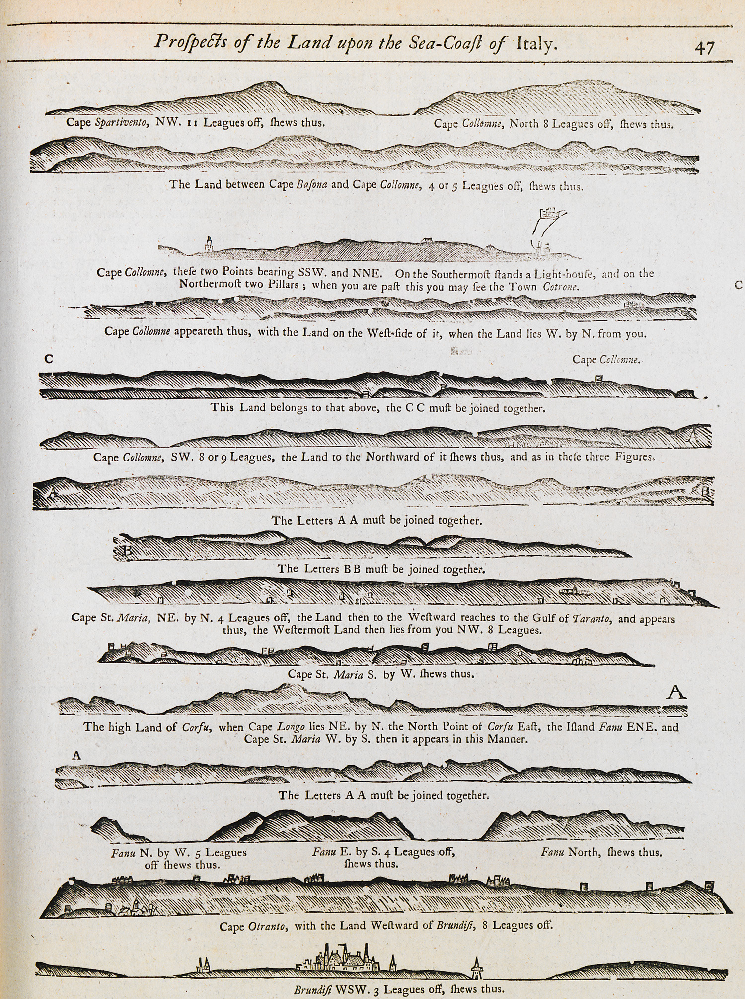
Outline of the coasts at the gulf of Venice as seen from the sea.
-
-
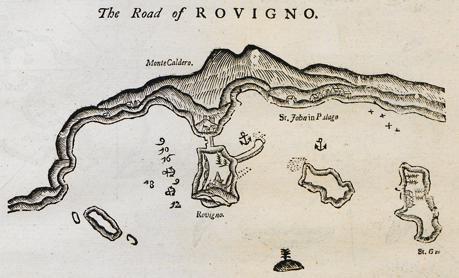
-
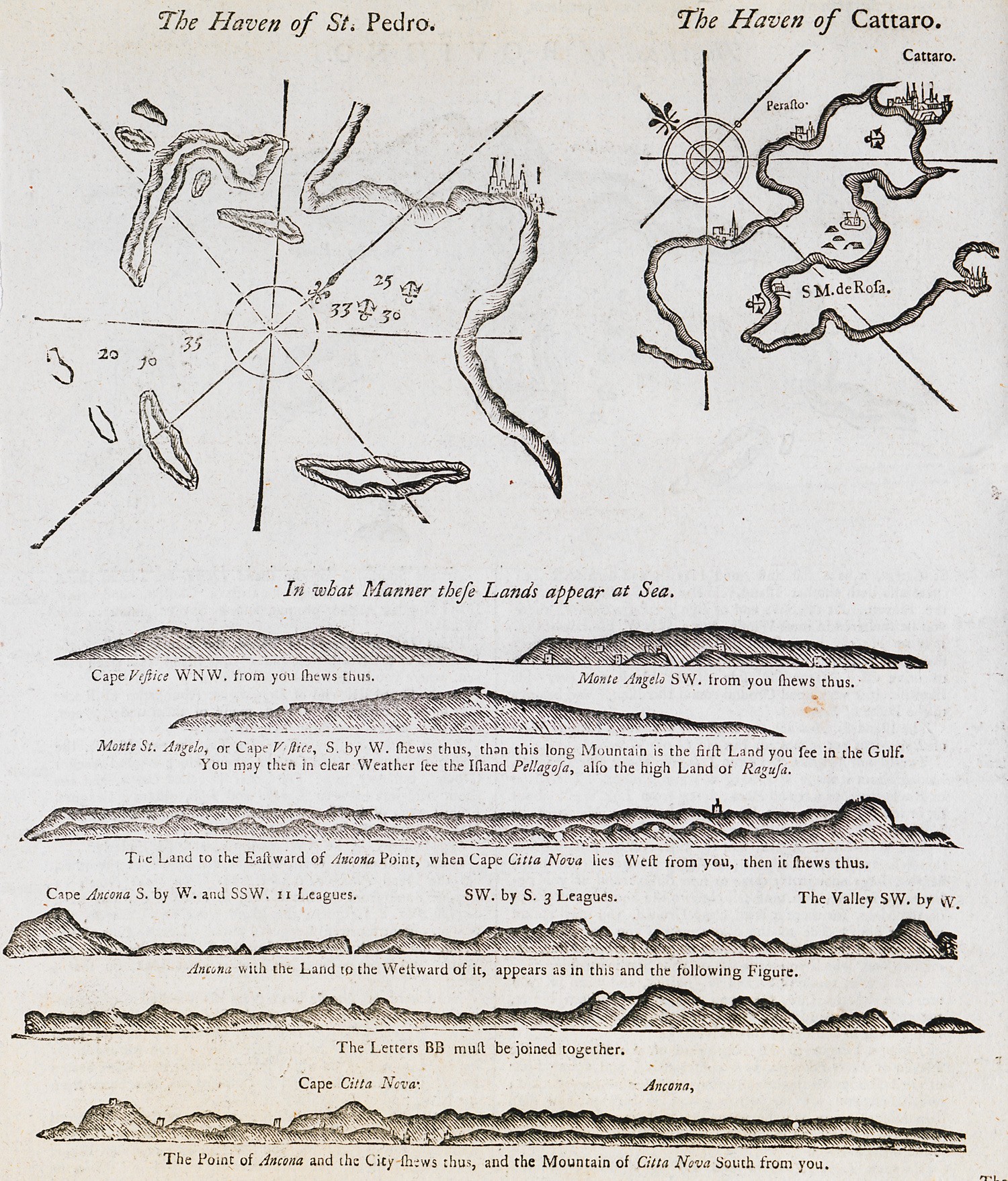
-
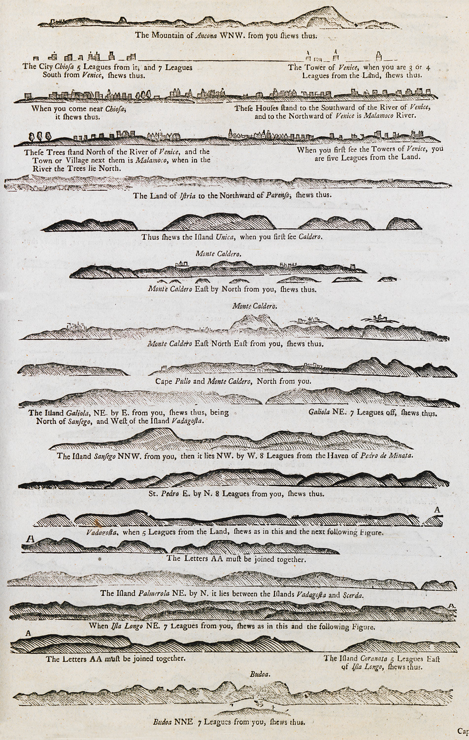
-
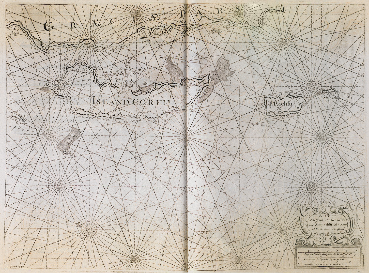
-
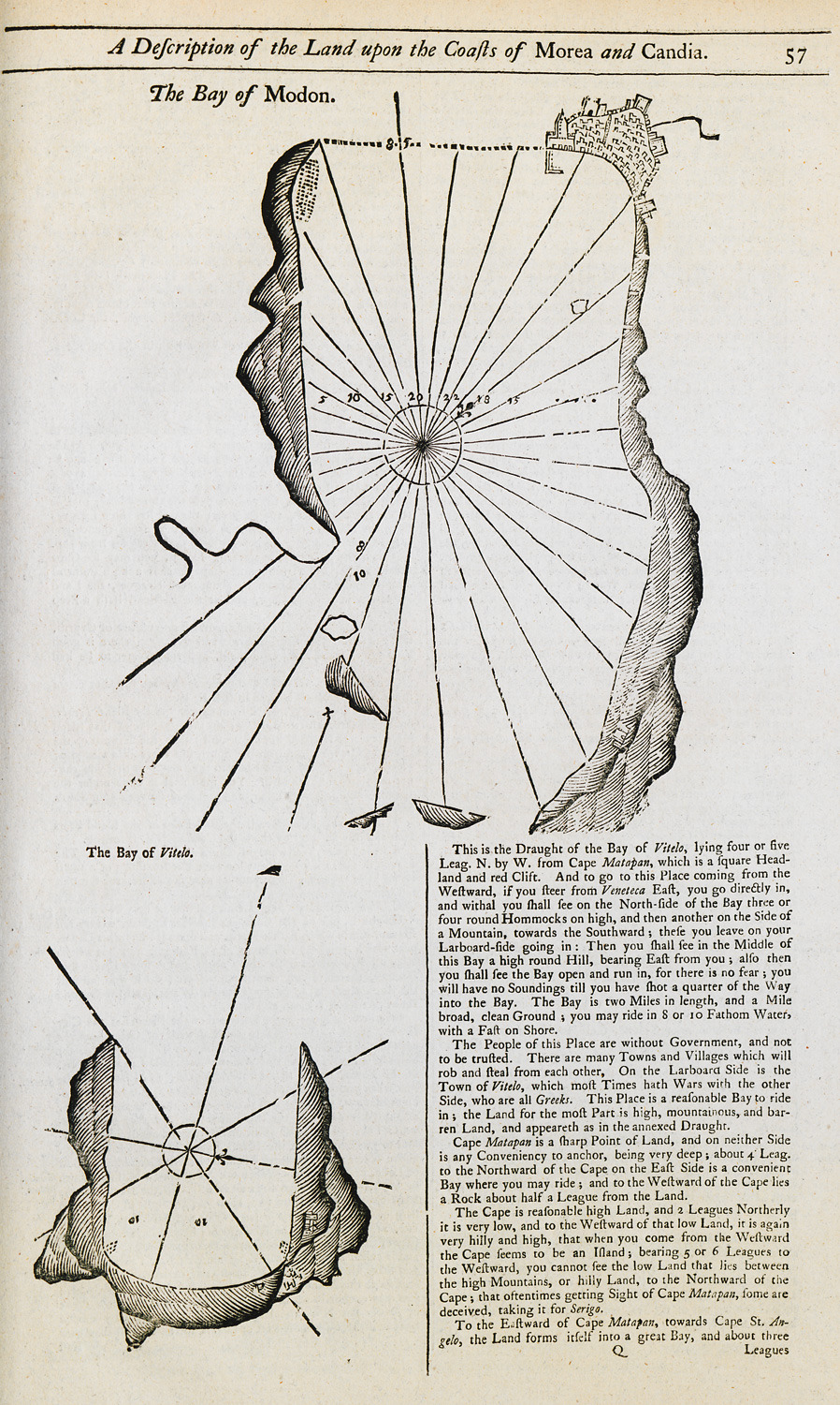
Nautical chart of the bay of Methoni. Map of the bay of Oitylo.
-
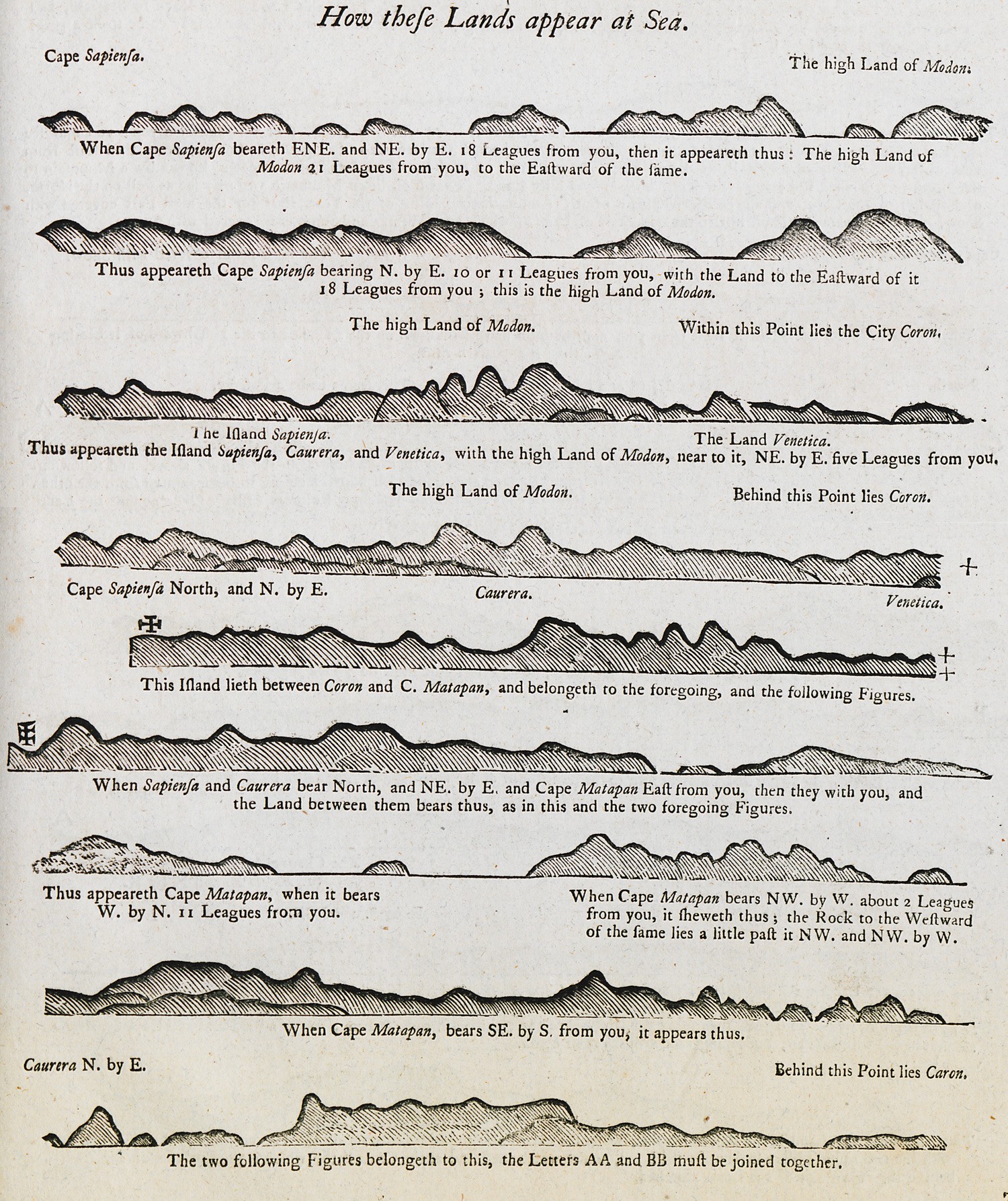
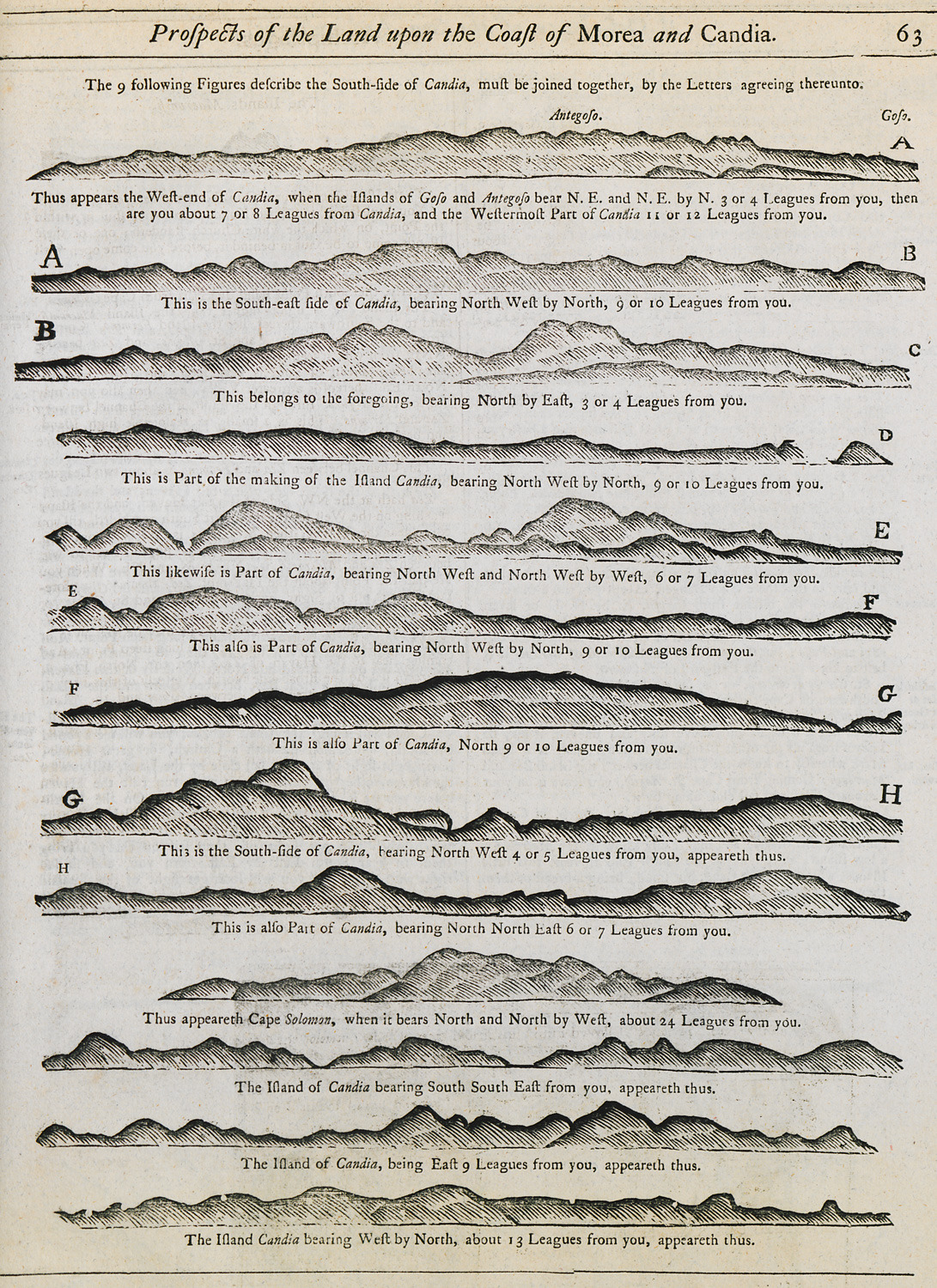
Outline of the coast of the Peloponnese as seen from the sea.
-
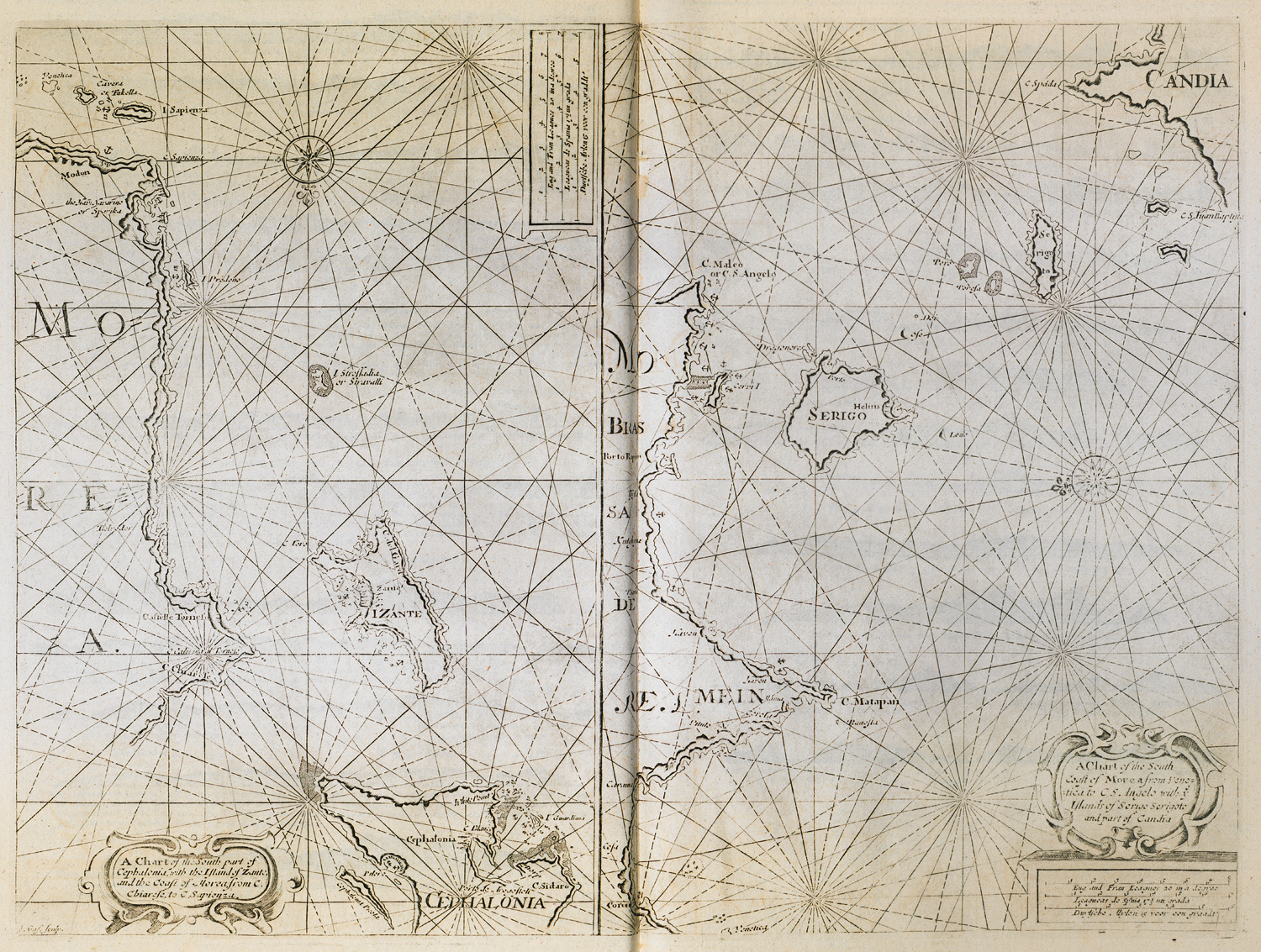
-
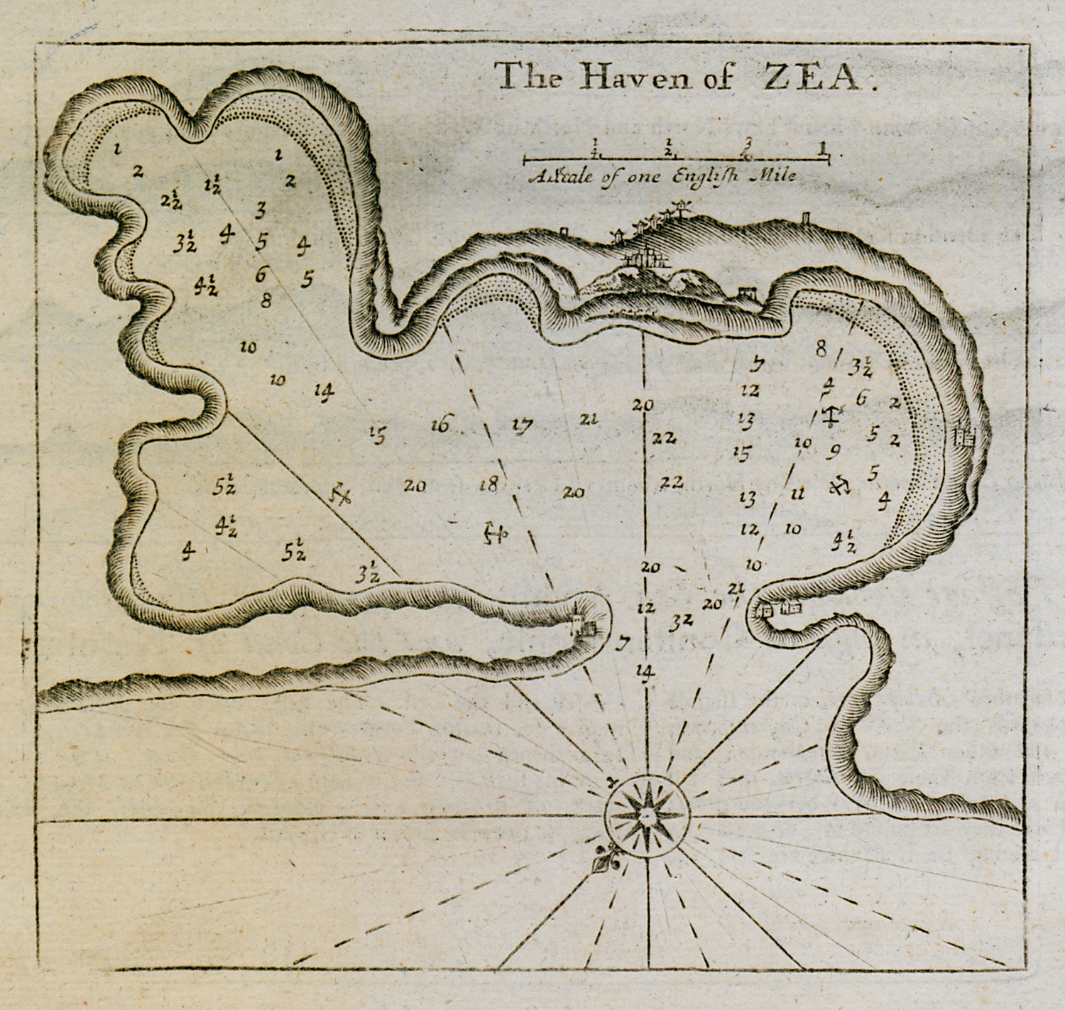
-
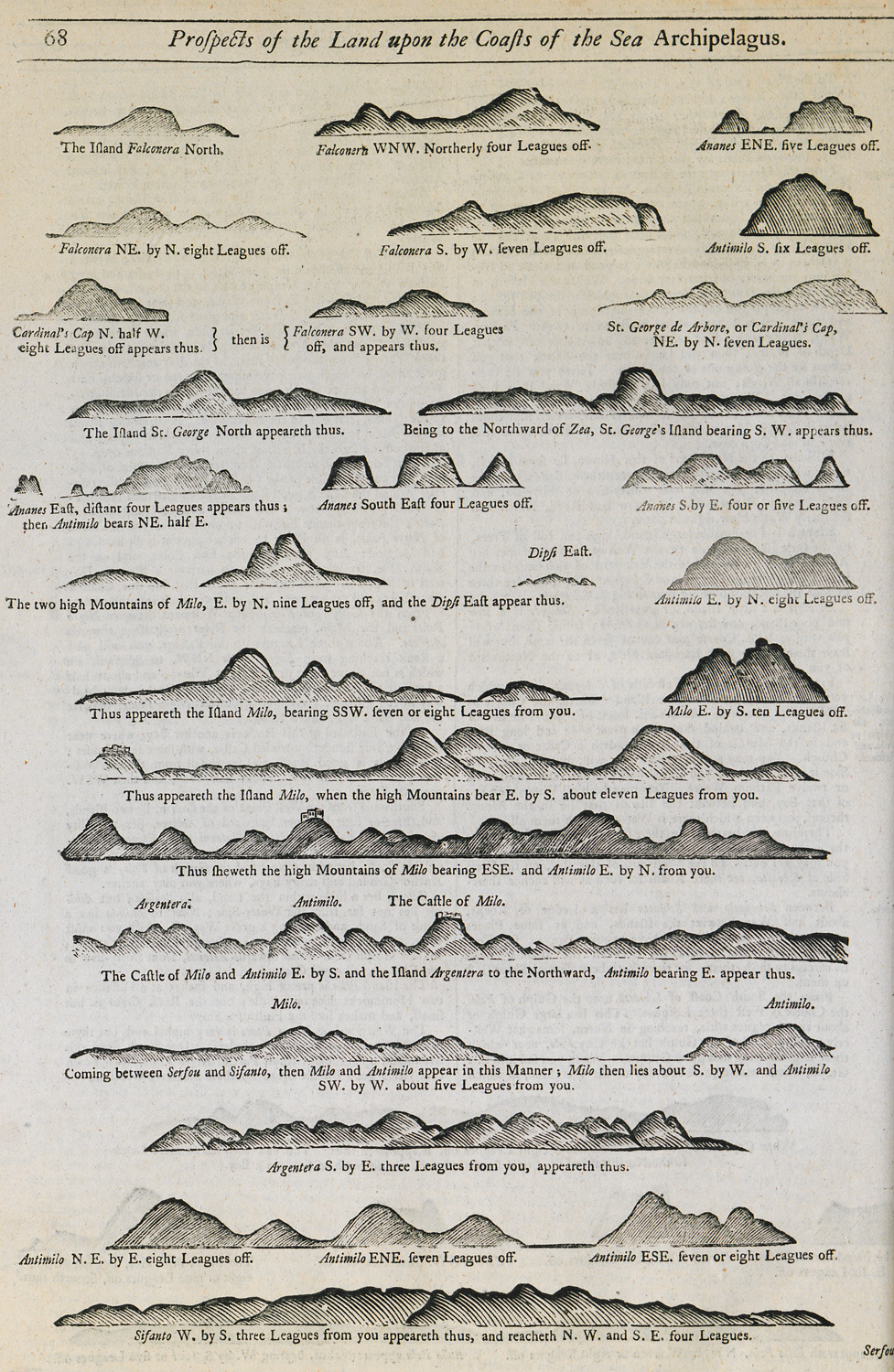
Outline of the coasts of several islands of the Cyclades as seen from the sea.
-
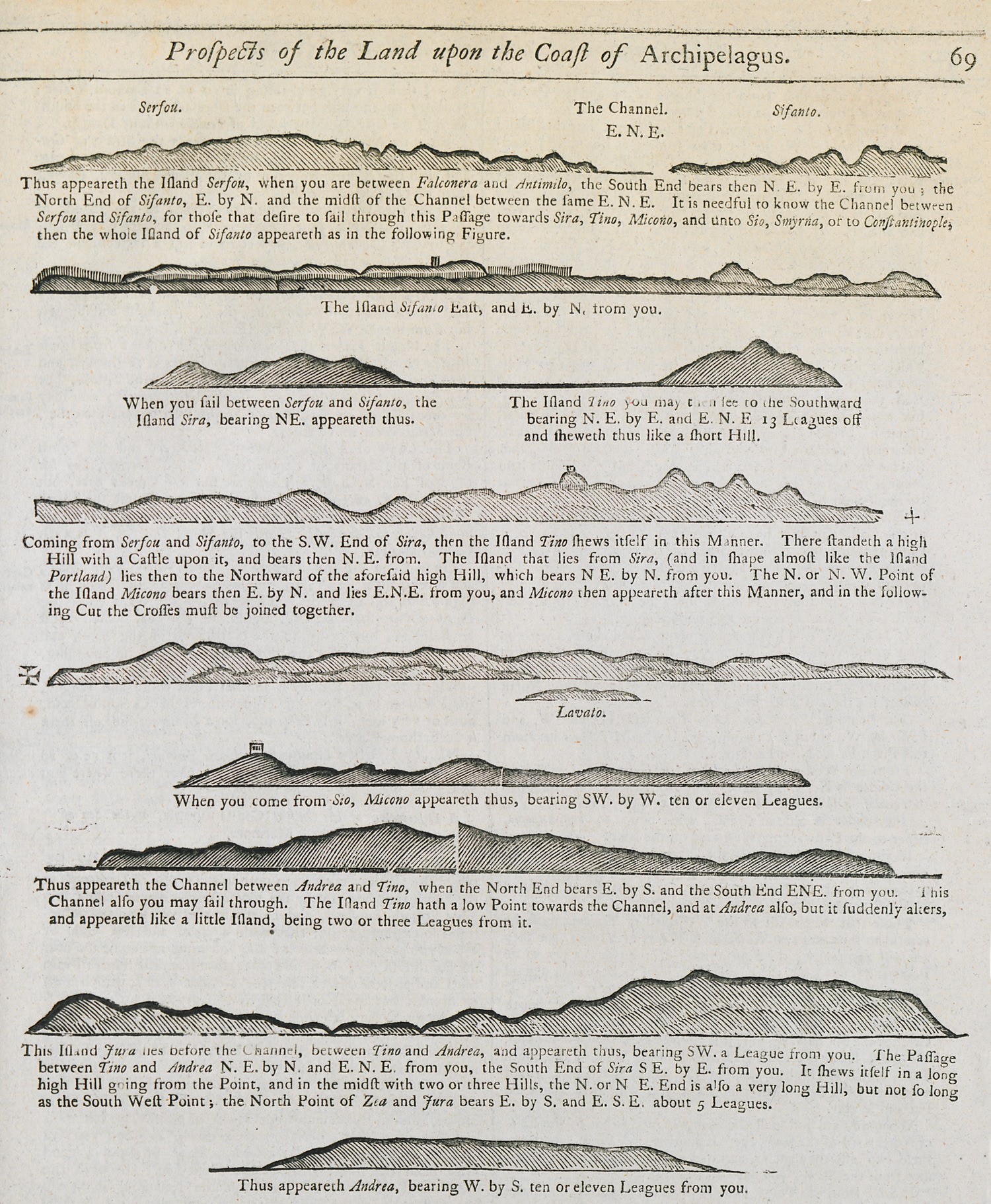
Outline of the coasts of several islands of the Cyclades as seen from the sea.
-
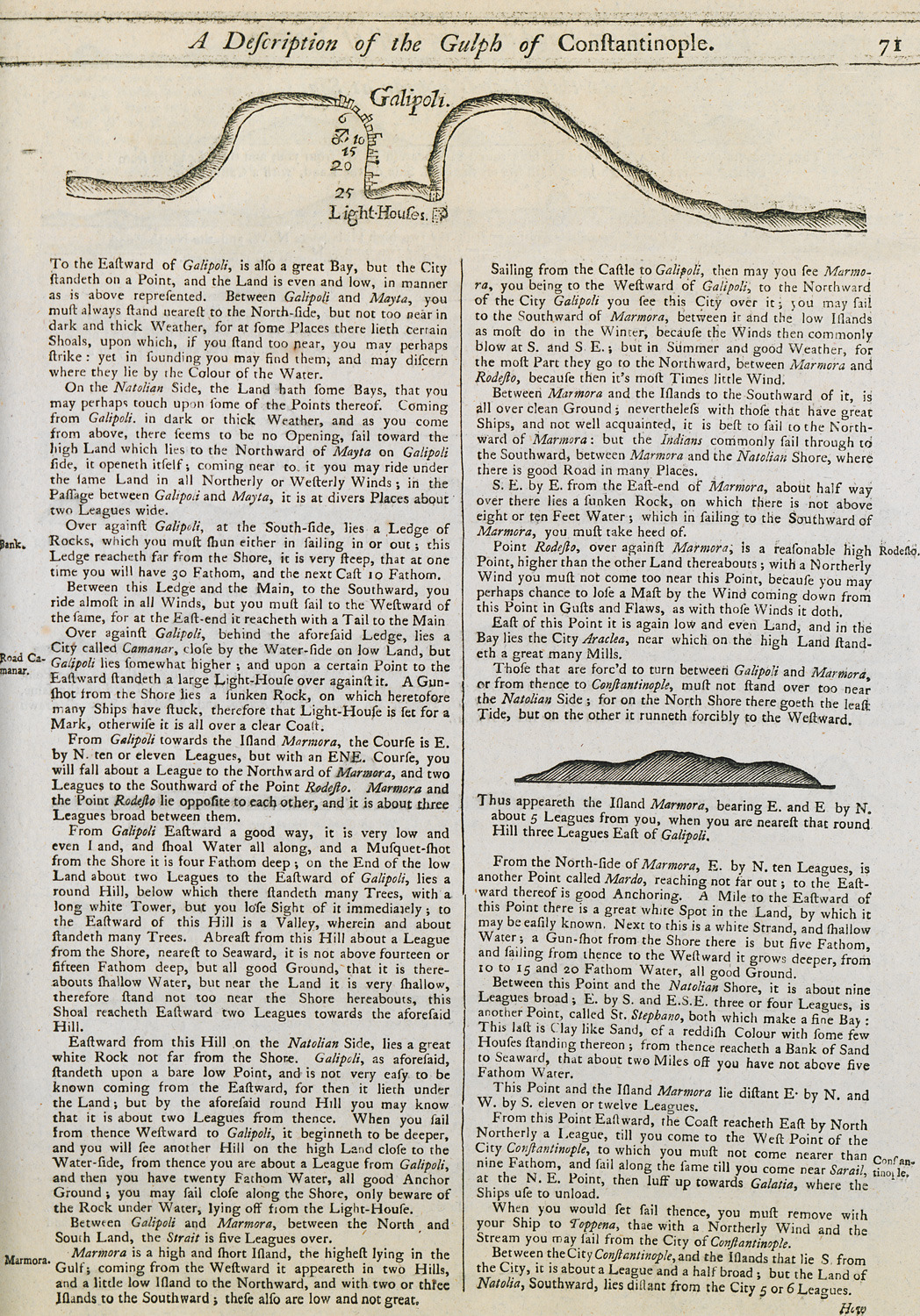
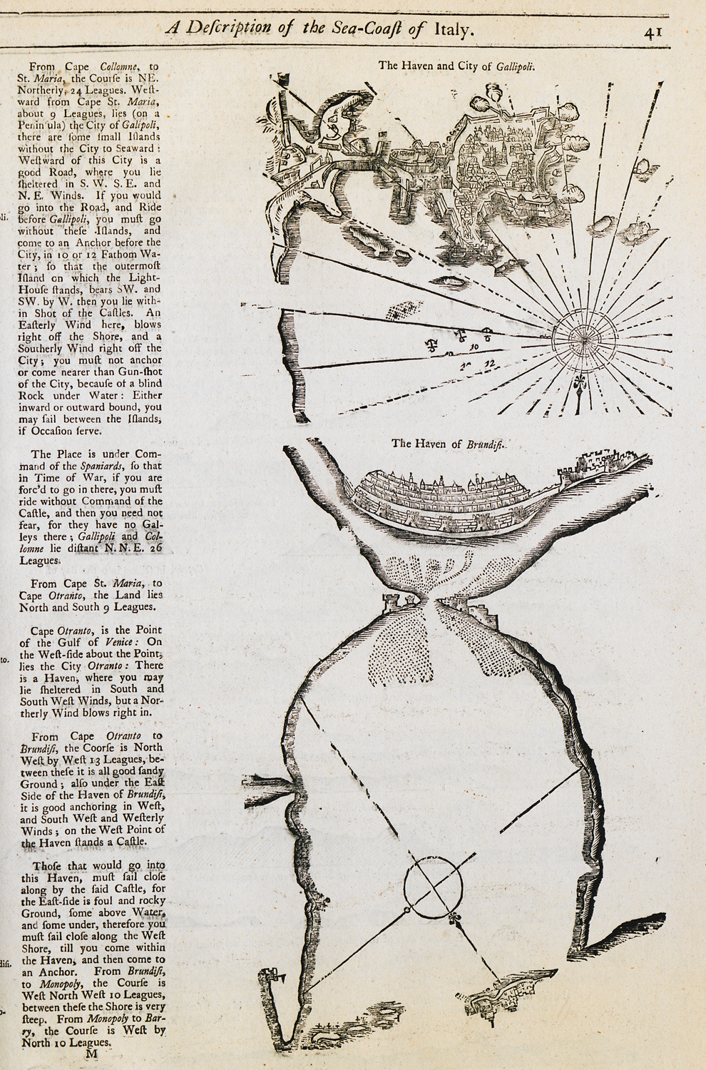
Nautical chart of the bay of Gallipoli, Turkey. View of Marmara island.
-
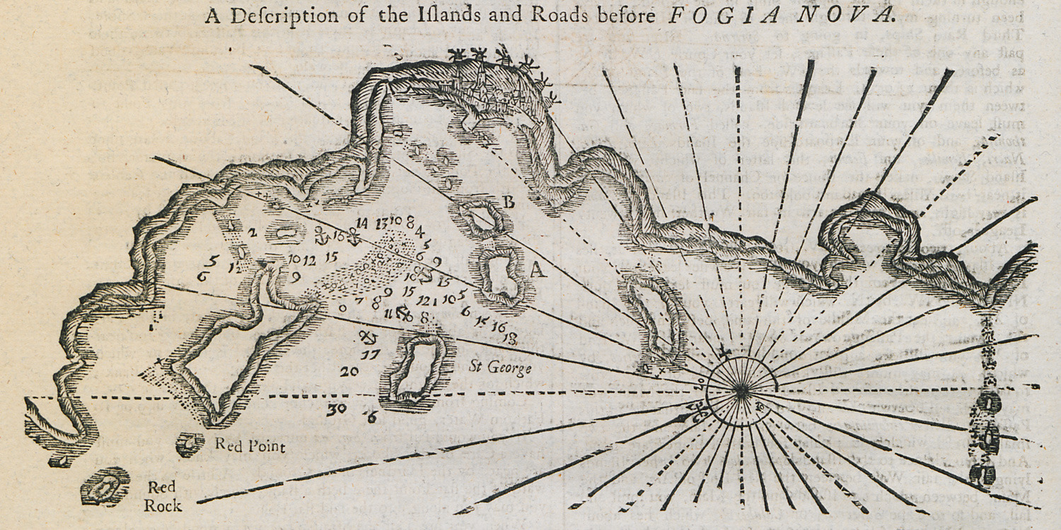
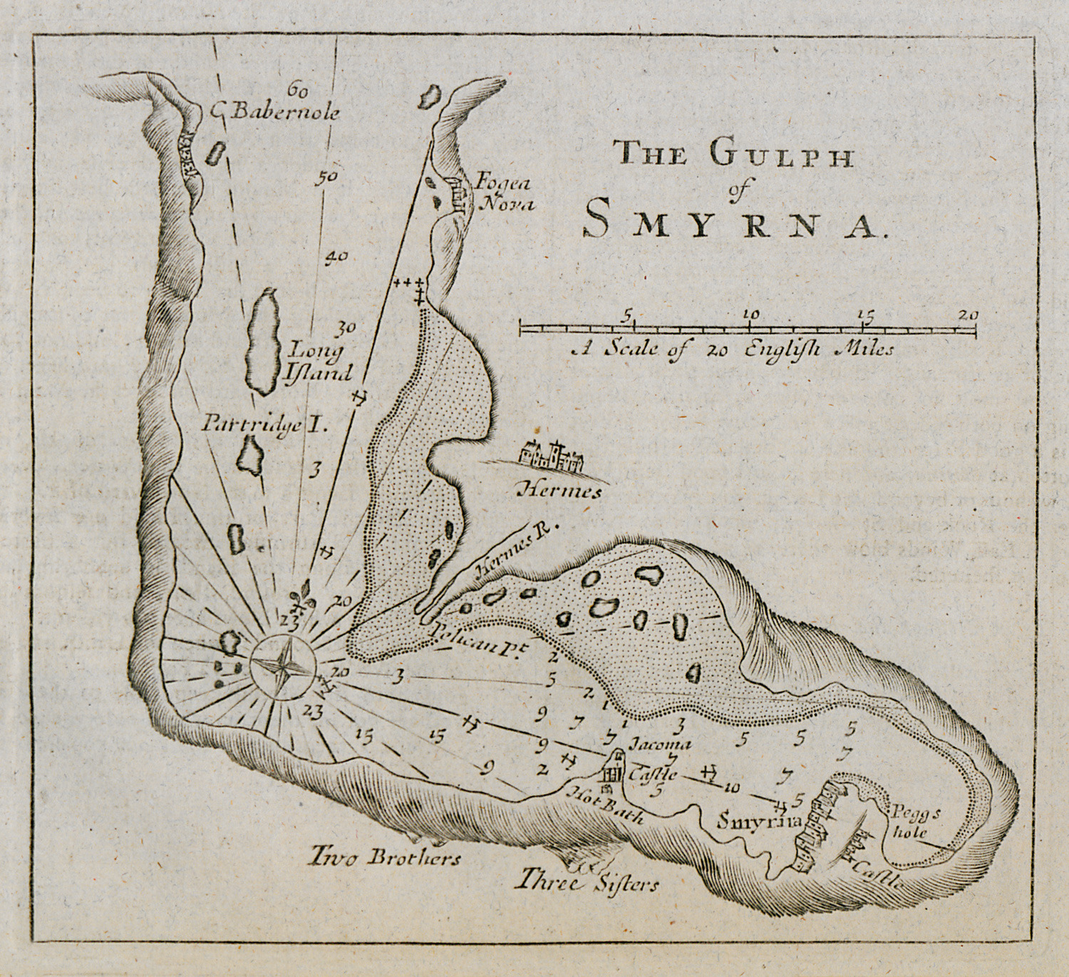
Nautical chart of the bay and the islands outside Yenifoça, Asia Minor.
-
-
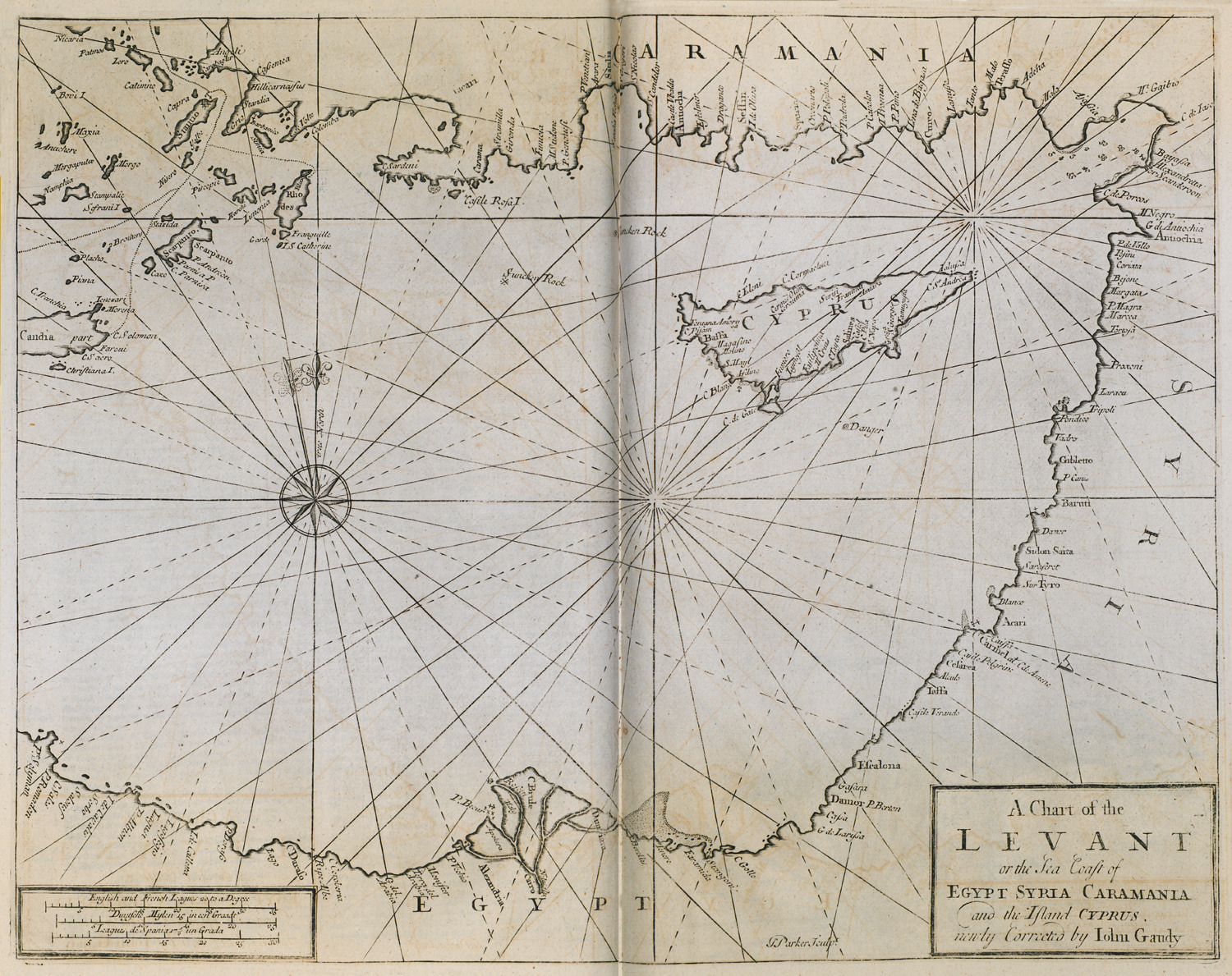
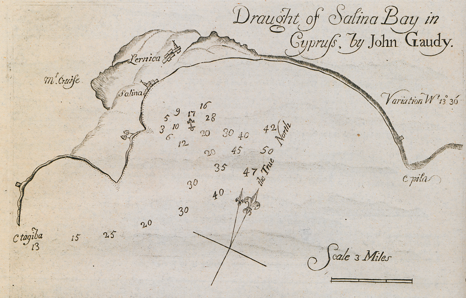
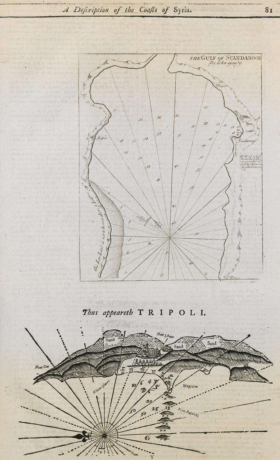
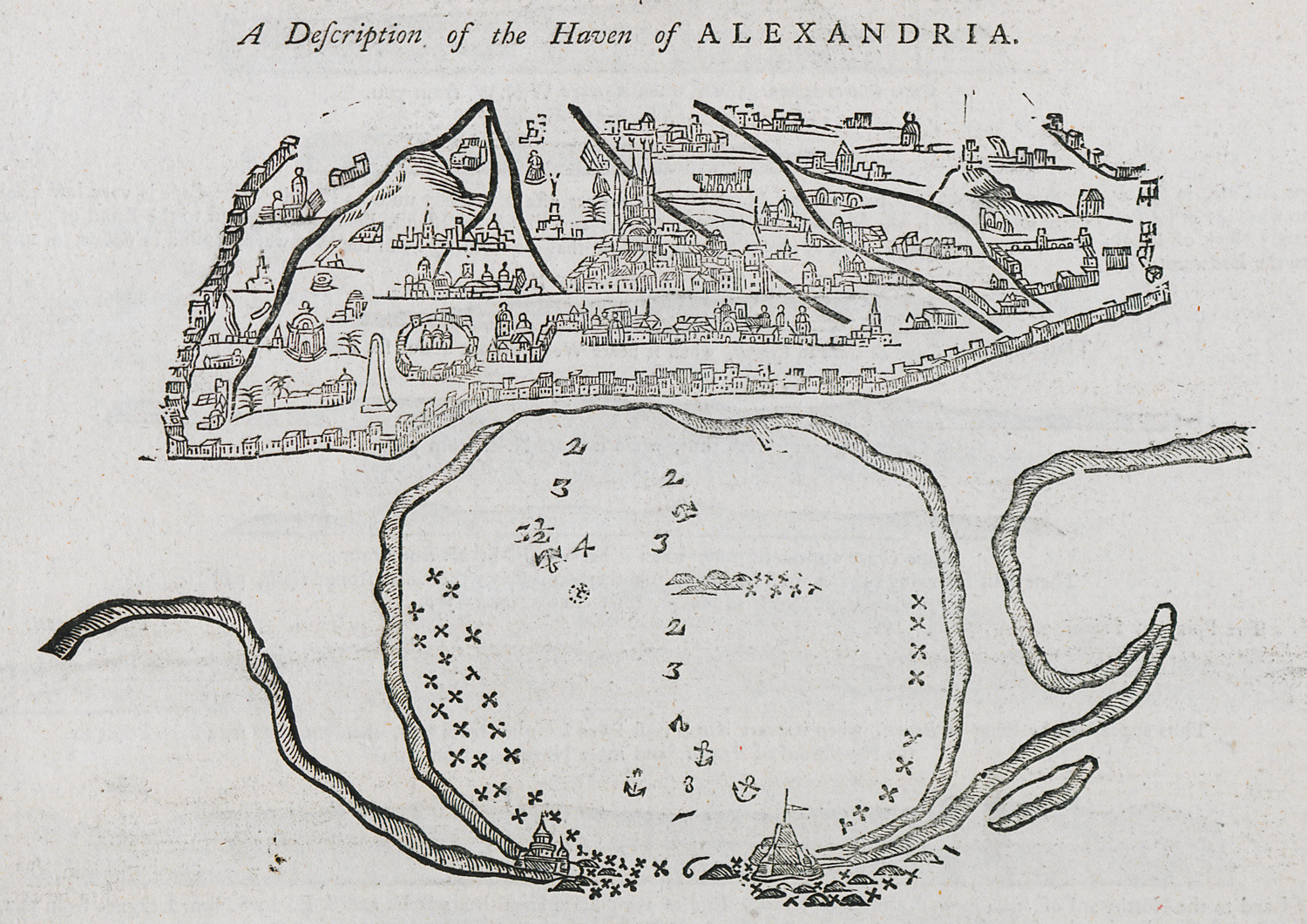
Nautical chart of the southern coast of Turkey, Cyprus and the coasts of Syria, Palestine and Egypt.
-
-
-
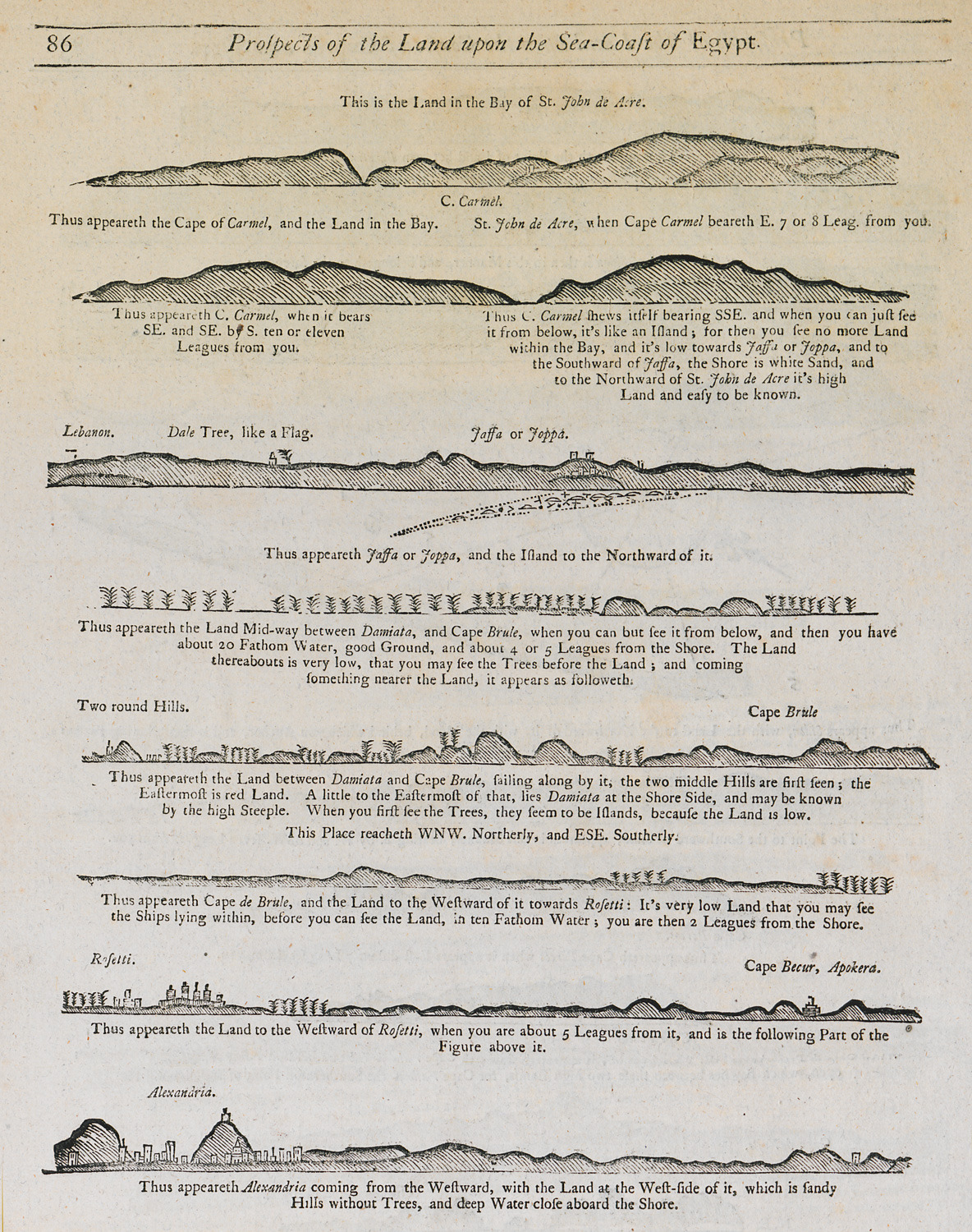
Outline of the coasts of modern-day Israel and Egypt as seen from the sea.
-
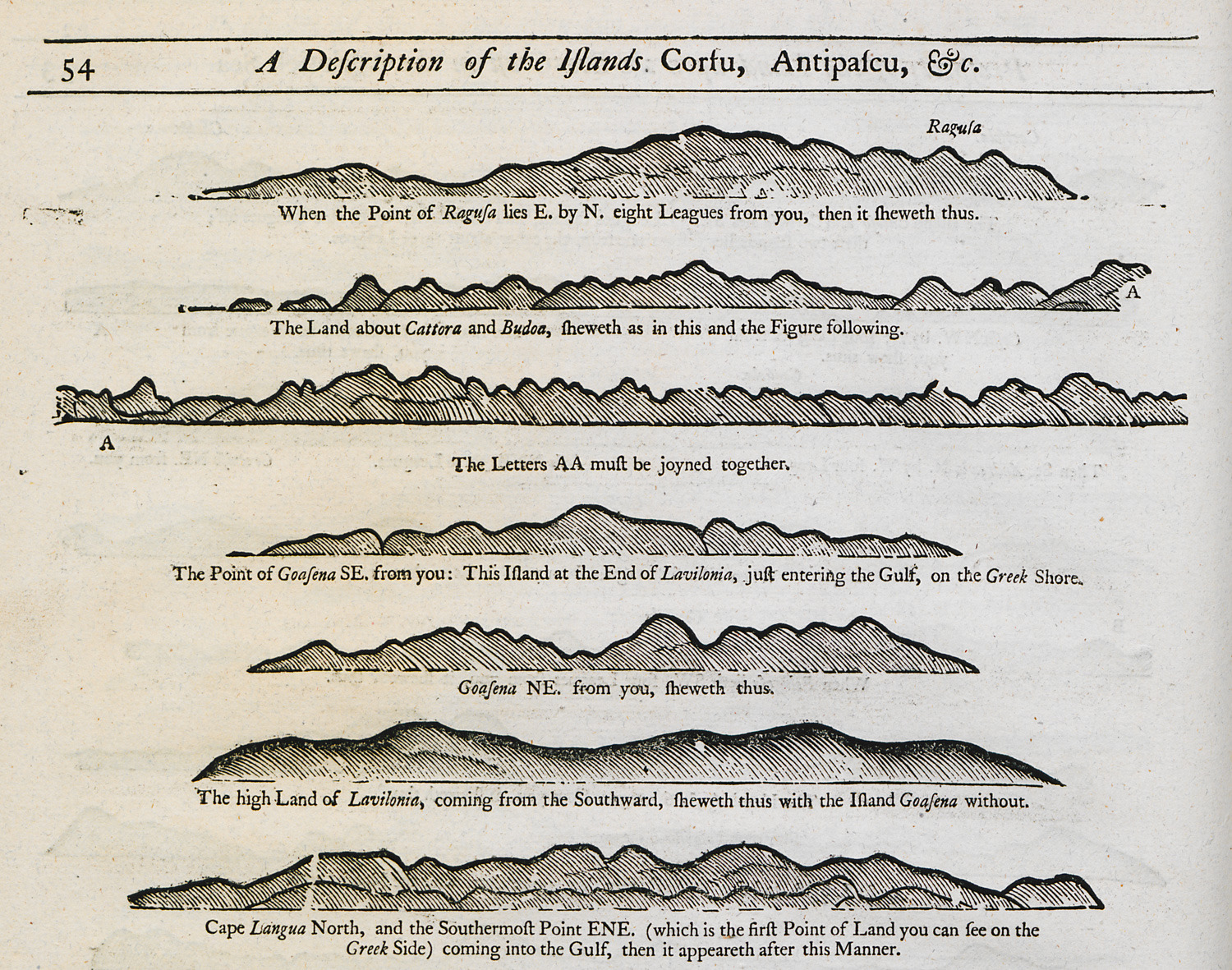
-
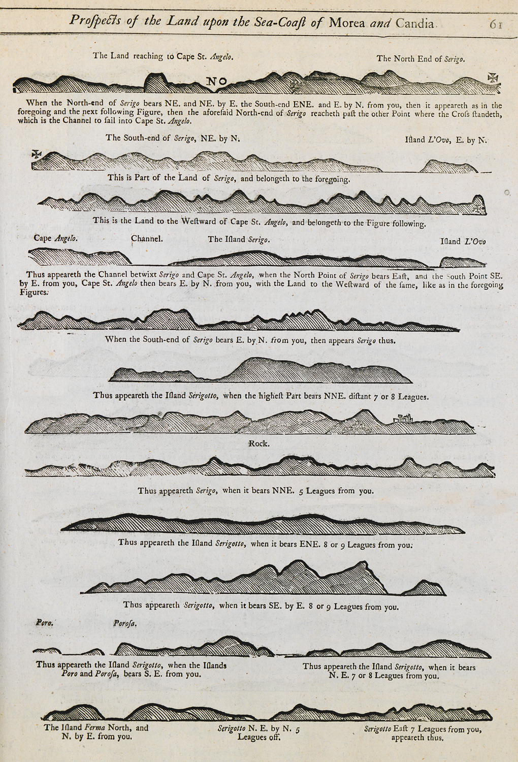
Outline of the coasts of Cythera and Anticythera islands as seen from the sea.
-
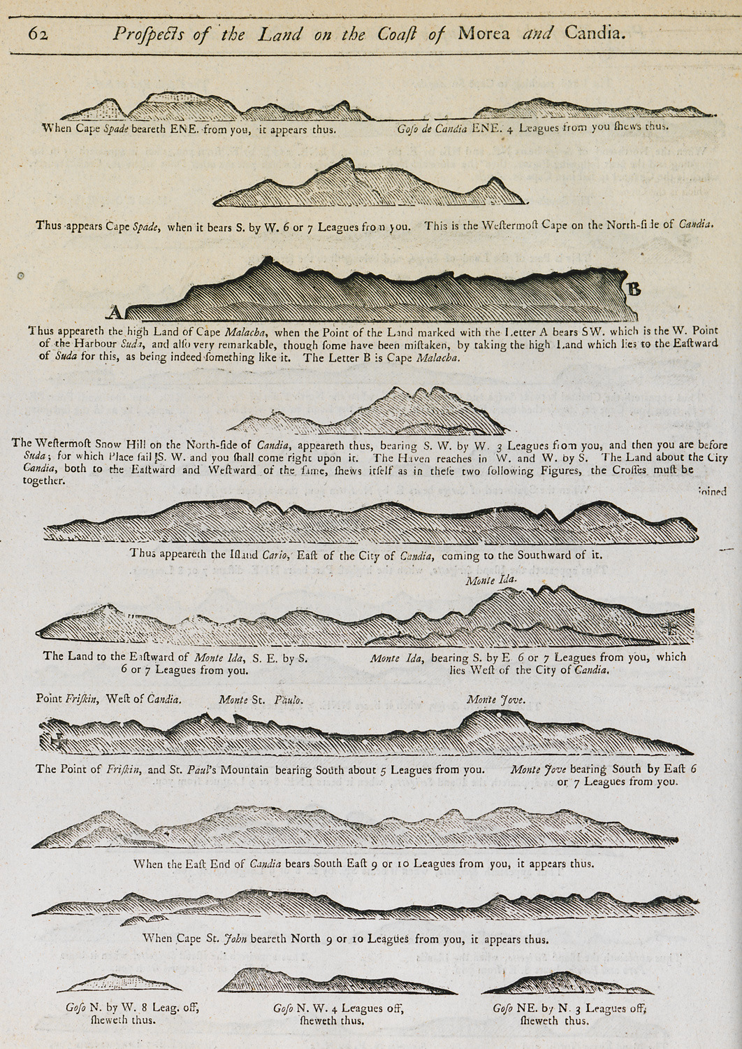
-
-
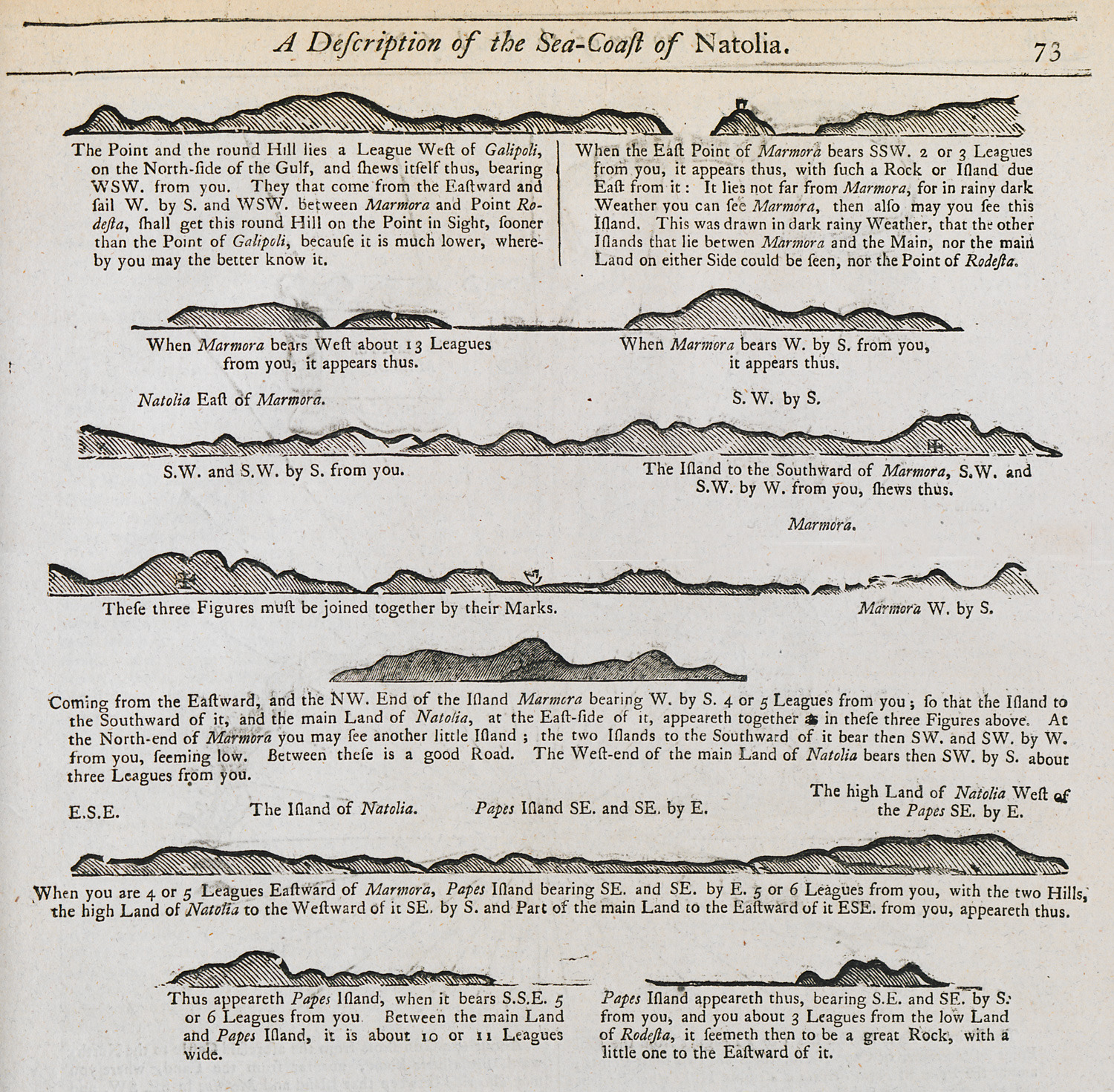
Outline of the coast of Marmara island as seen from the sea.
-
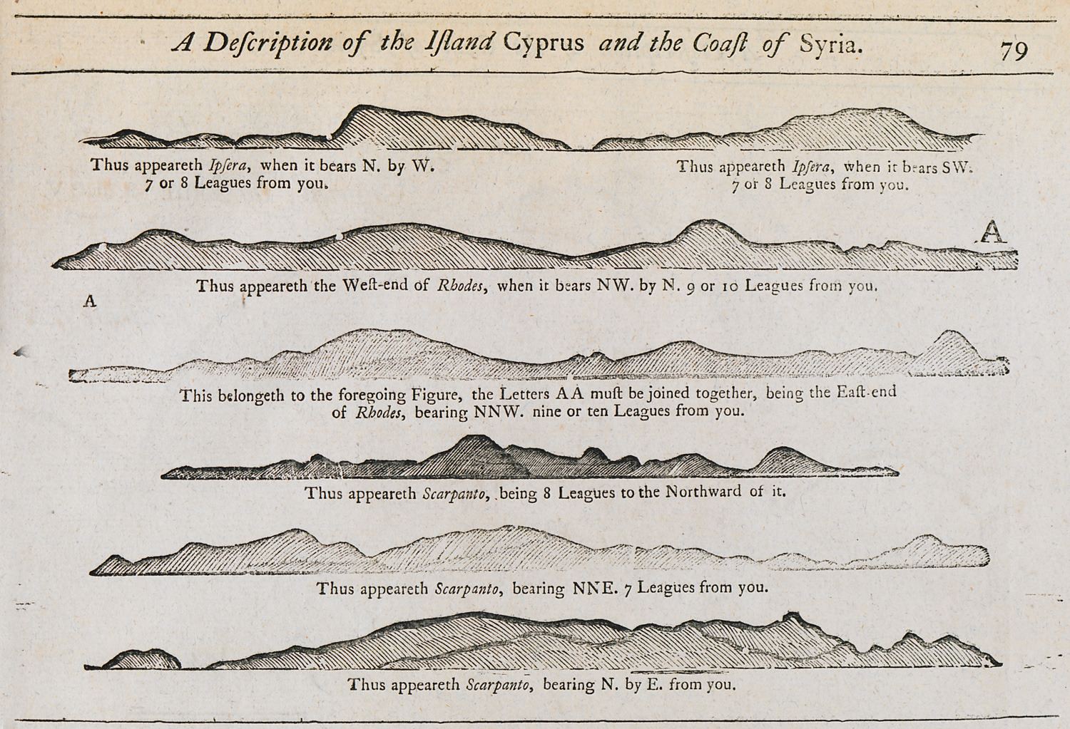
Outline of the coasts of Psara, Rhodes and Karpathos islands as seen from the sea.
-
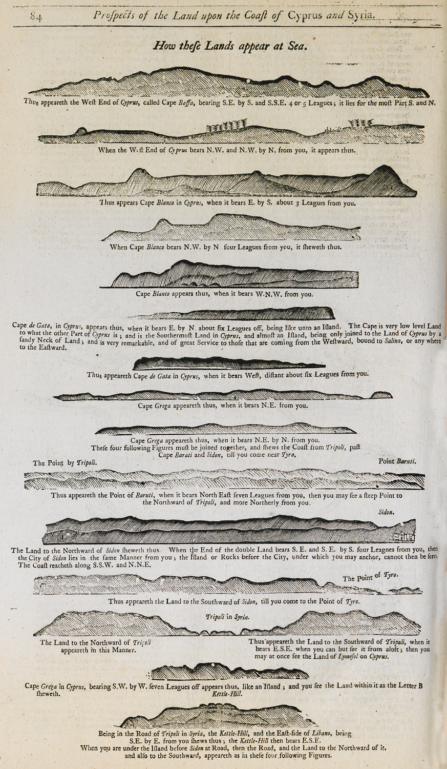
Outline of the coasts of Cyprus and Syria as seen from the sea.
-
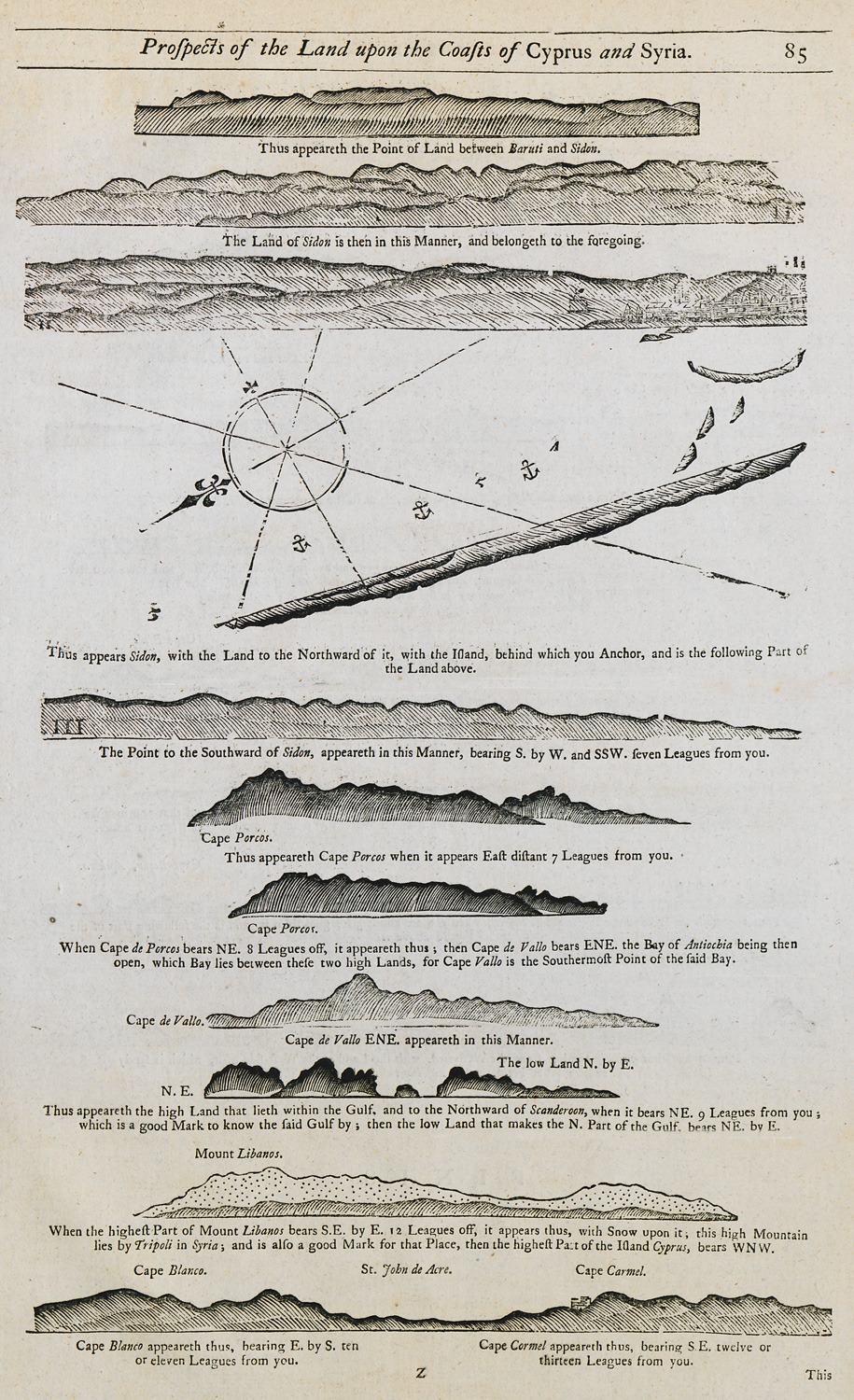
Outline of the coasts of Cyprus, Syria, Lebanon and modern-day Israel as seen from the sea.
-
-
-
-
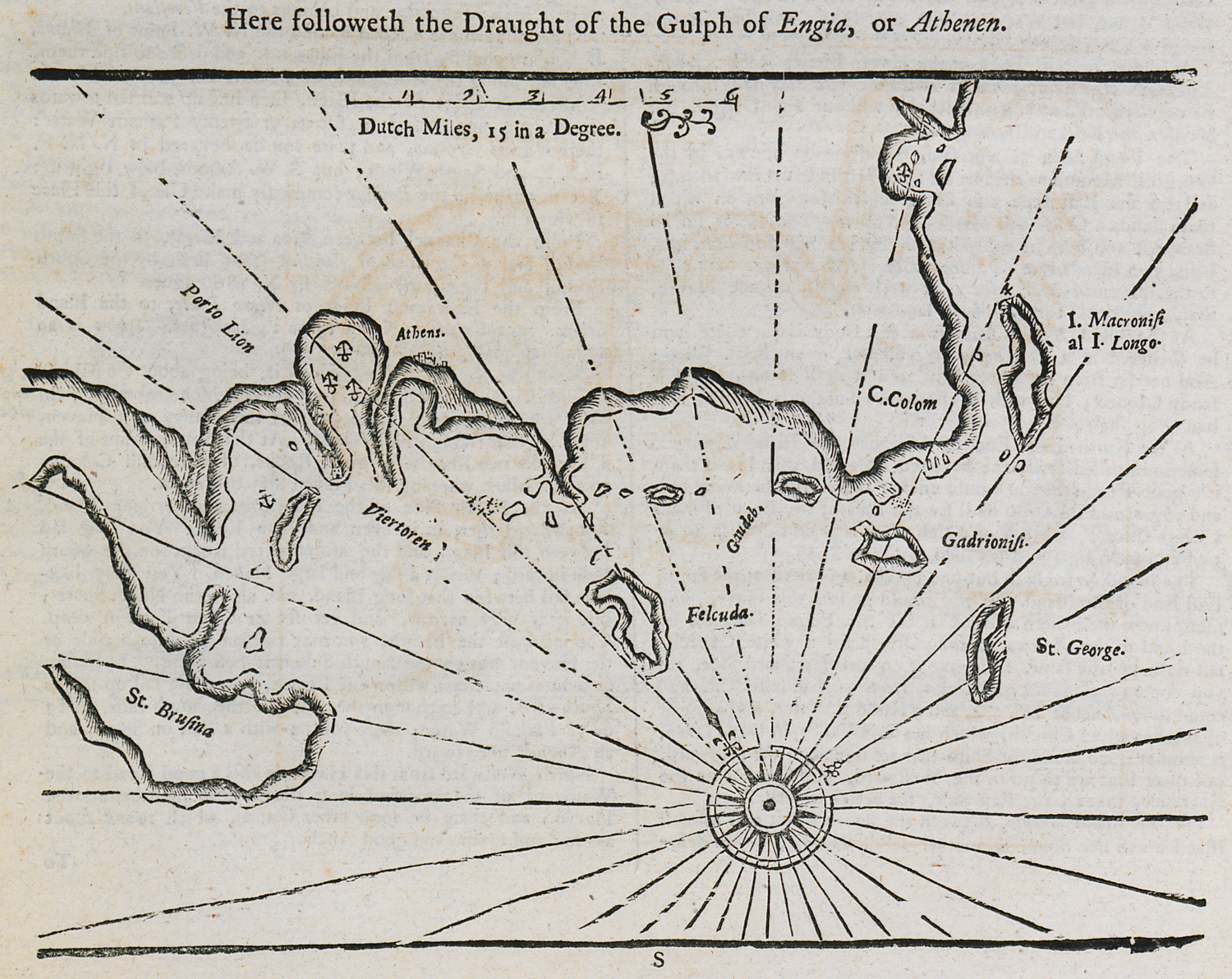
Nautical chart of the Saronic gulf and the southwestern coast of Attica.
-
