Maps (2145 Subjects)
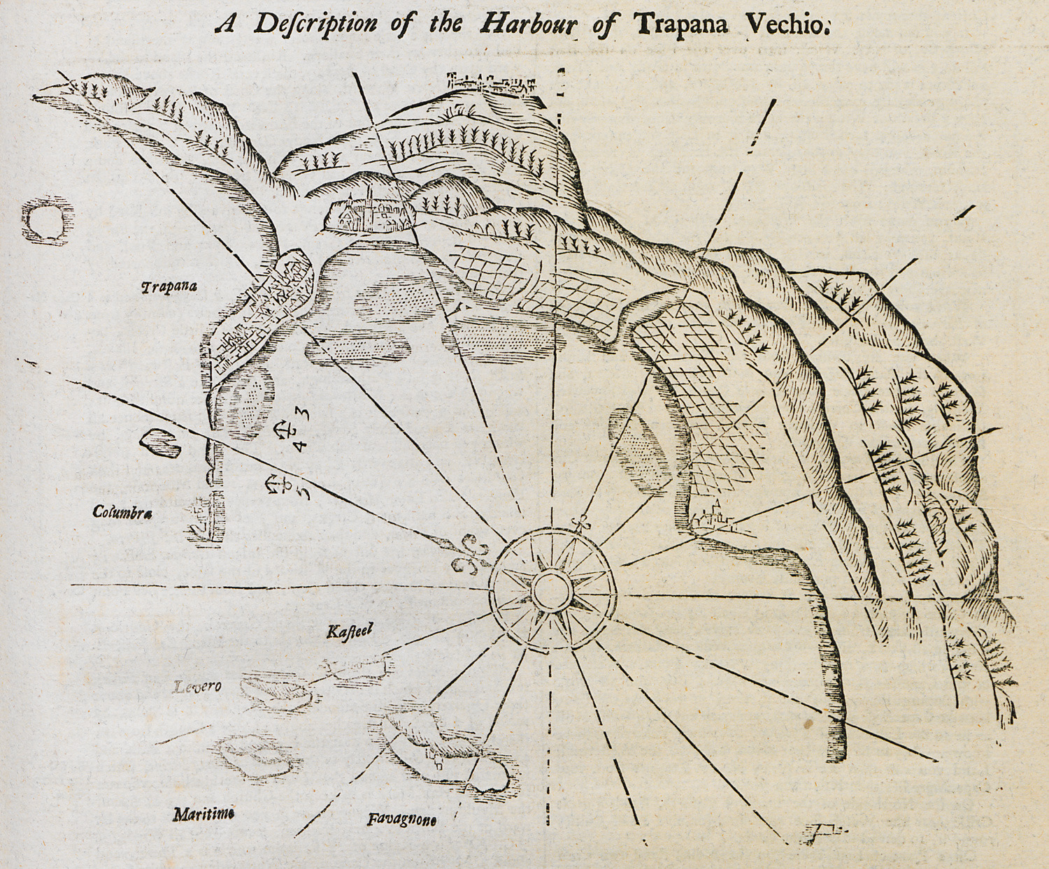
Nautical chart of the harbour of Trapani, Sicily.
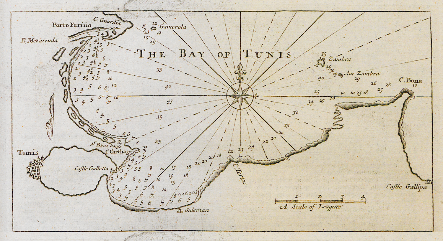
Nautical chart of the bay of Tunis.
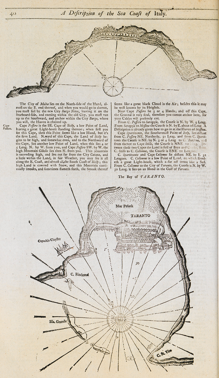
Nautical chart of the bay and promontory of Passero, Sicily. Nautical chart of the bay of Taranto.
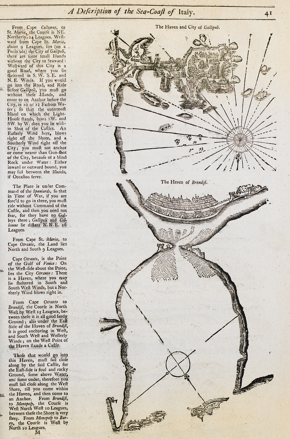
Nautical chart of the bay and city of Gallipoli in southern Italy. Nautical chart of the port of Brindisi.
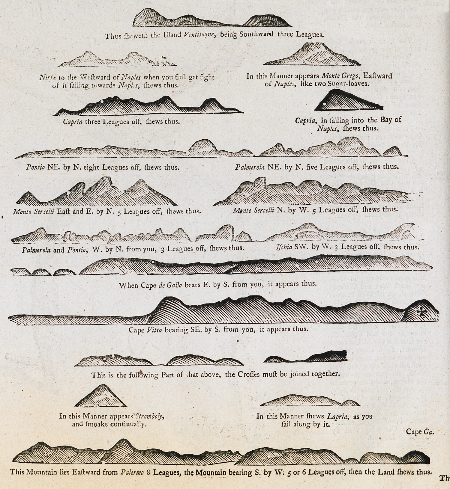
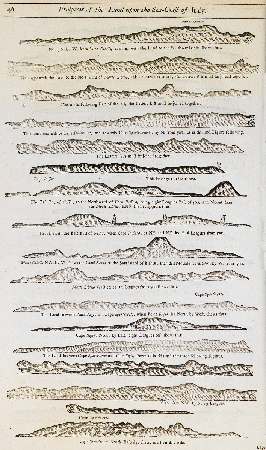
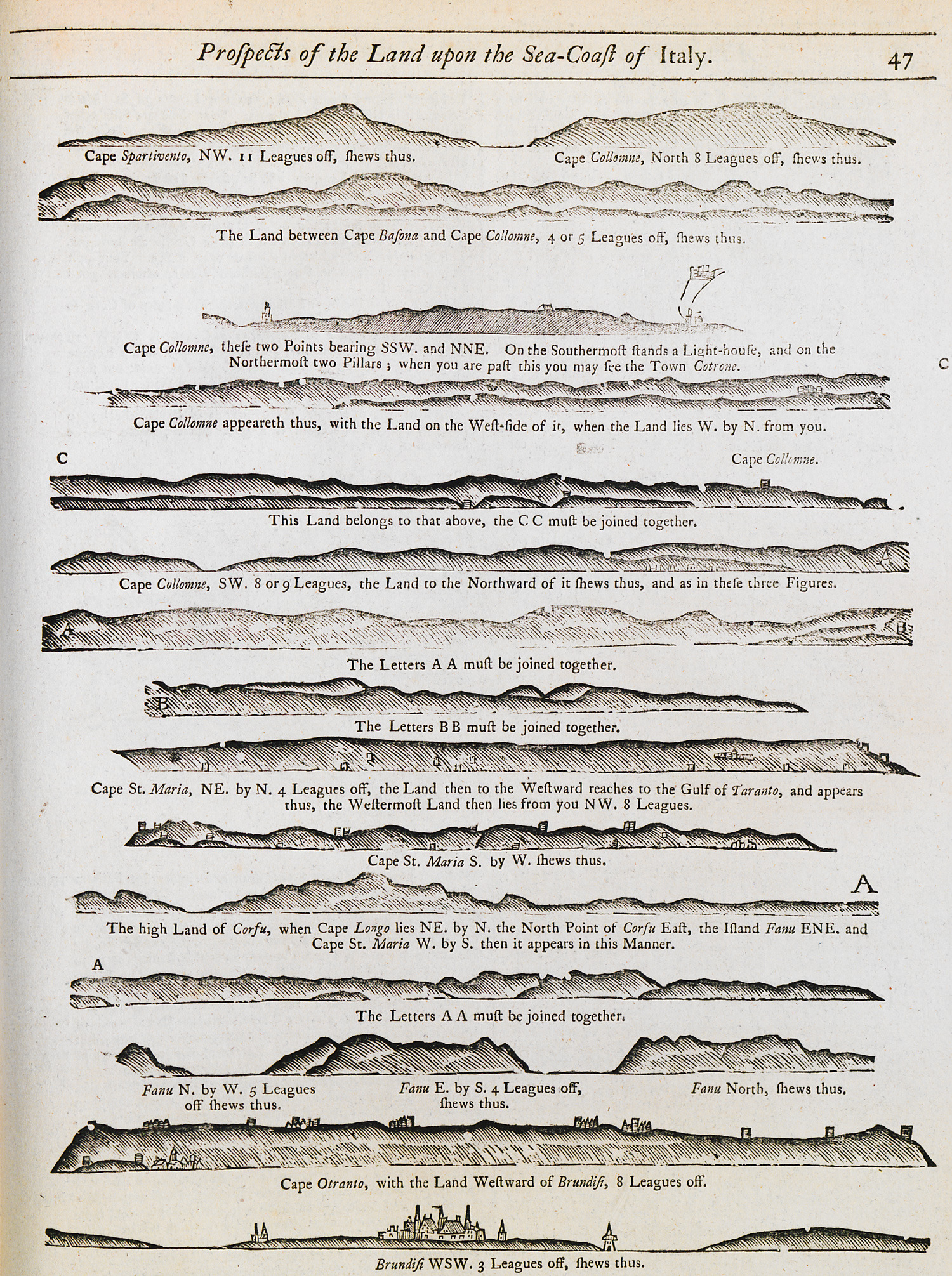
Outlines of coasts and mountains of Italy as seen from the sea.
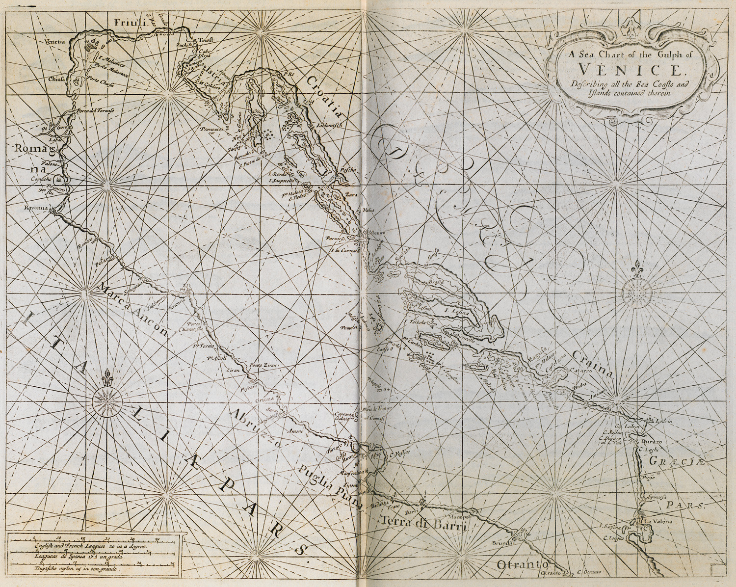
Nautical chart of the gulf of Venice.
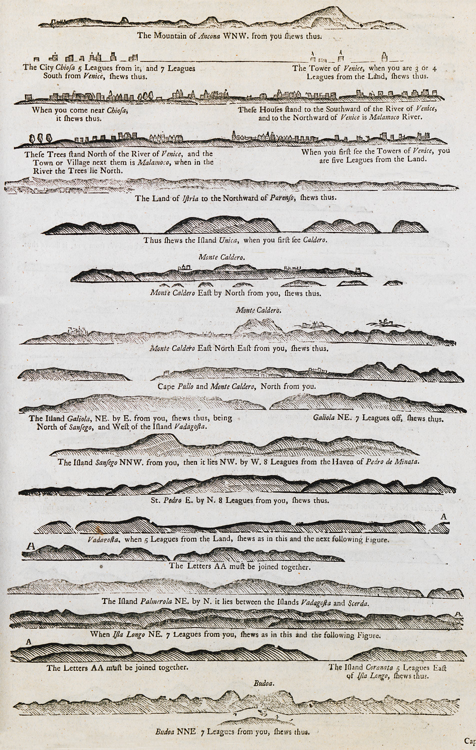
Outline of the coasts at the gulf of Venice as seen from the sea.
Outline of the coasts at the gulf of Venice as seen from the sea.
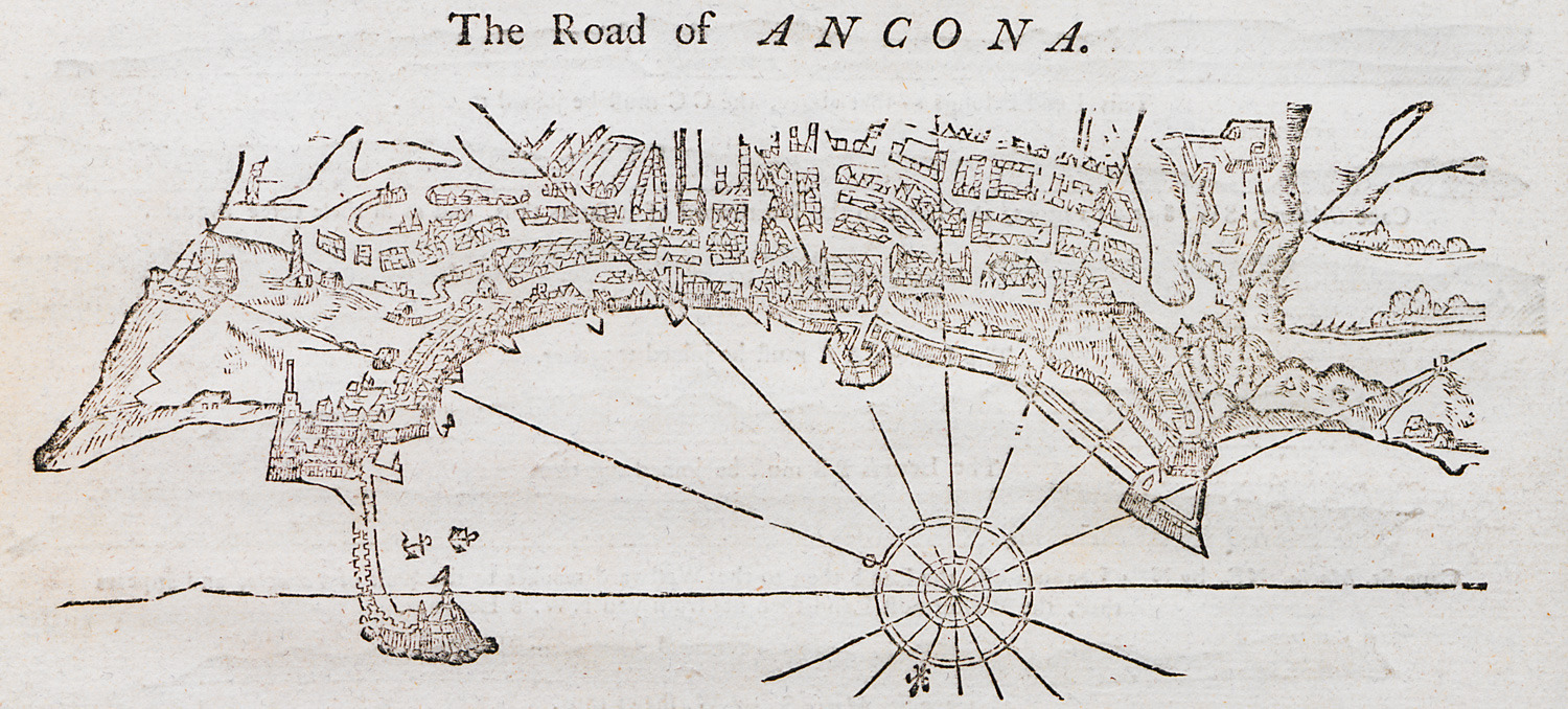
Nautical chart of the port of Ancona, Italy.
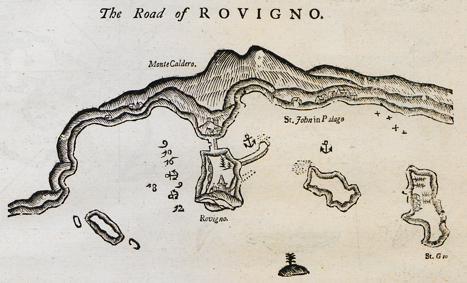
Nautical chart of the bay of Rovinj on Istria peninsula.
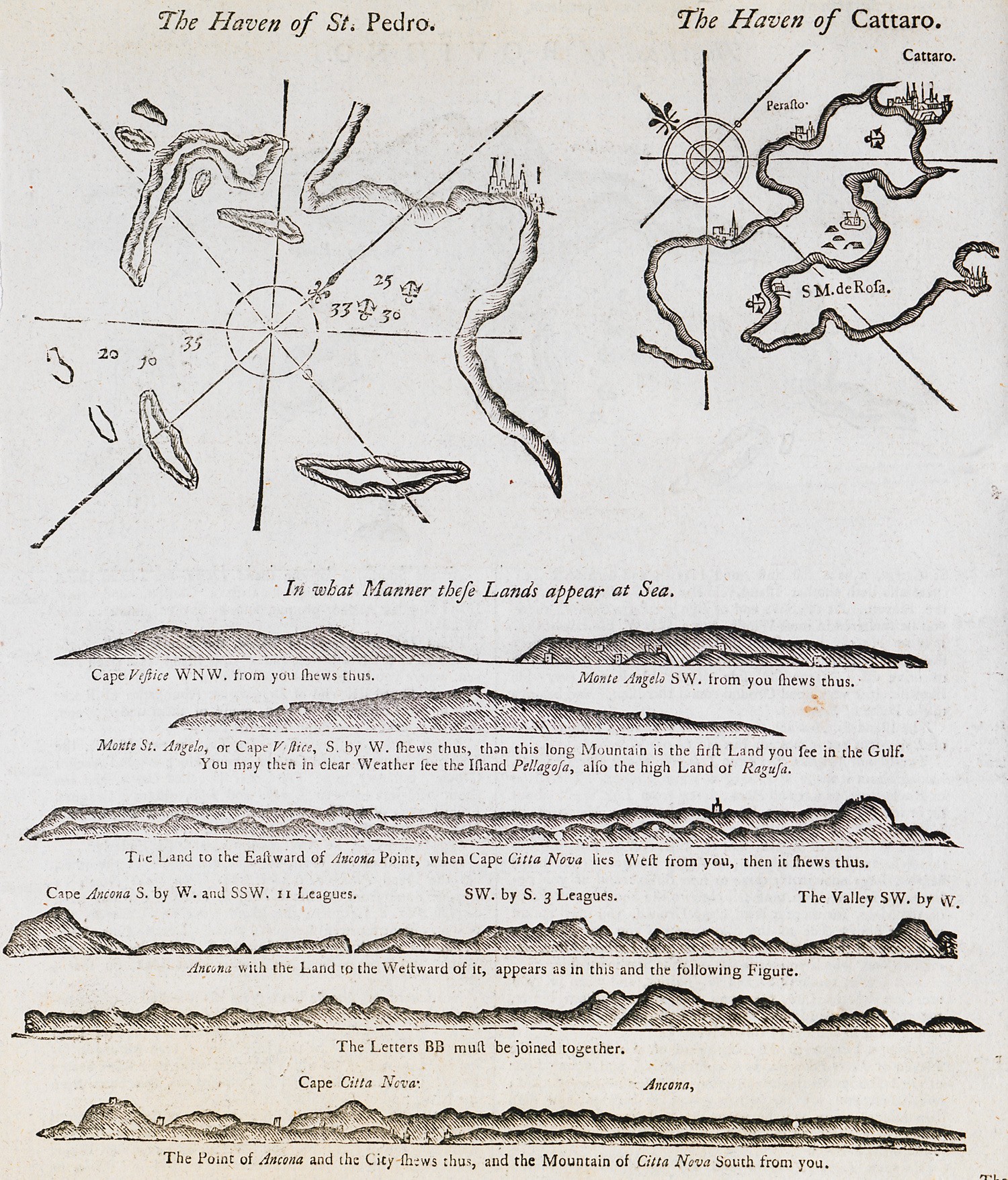
Nautical chart of the bay of Molat in Croatia. Nautical chart of the bay of Kotor in Croatia. Outline of the coast of Dalmatia.
Outline of the coast of Dalmatia as seen from the sea.
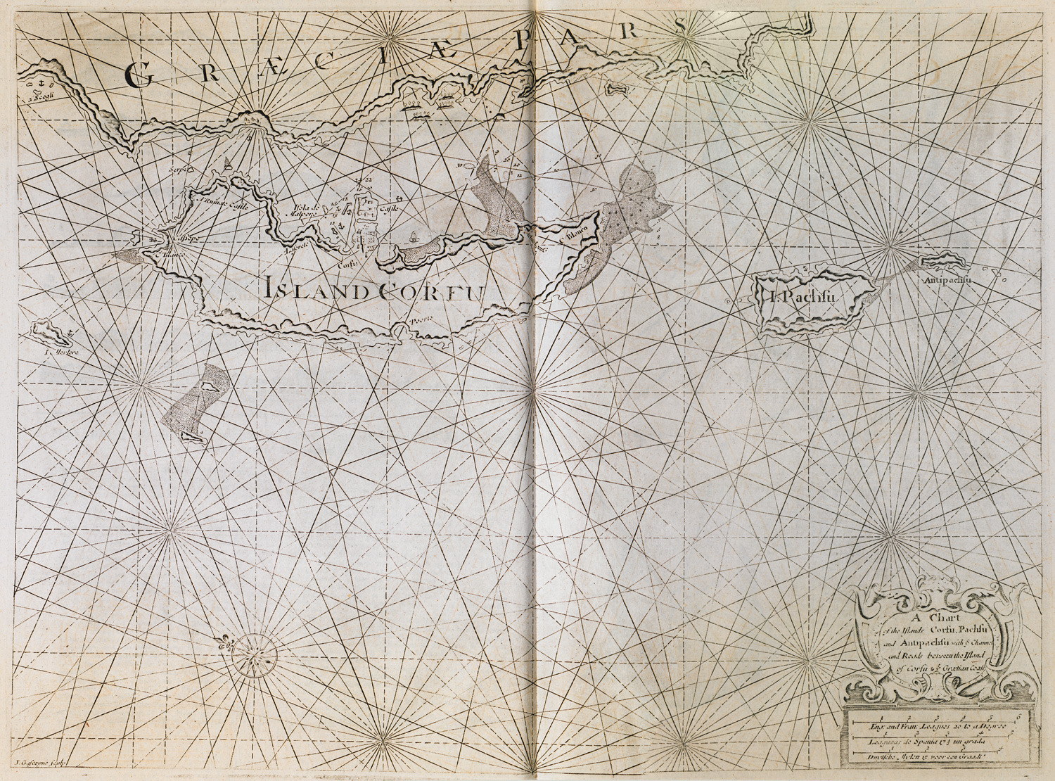
Nautical chart of Corfu, Paxoi and Antipaxoi islands.
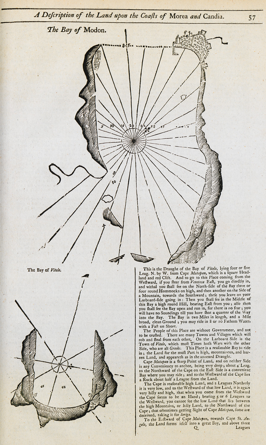
Nautical chart of the bay of Methoni. Map of the bay of Oitylo.
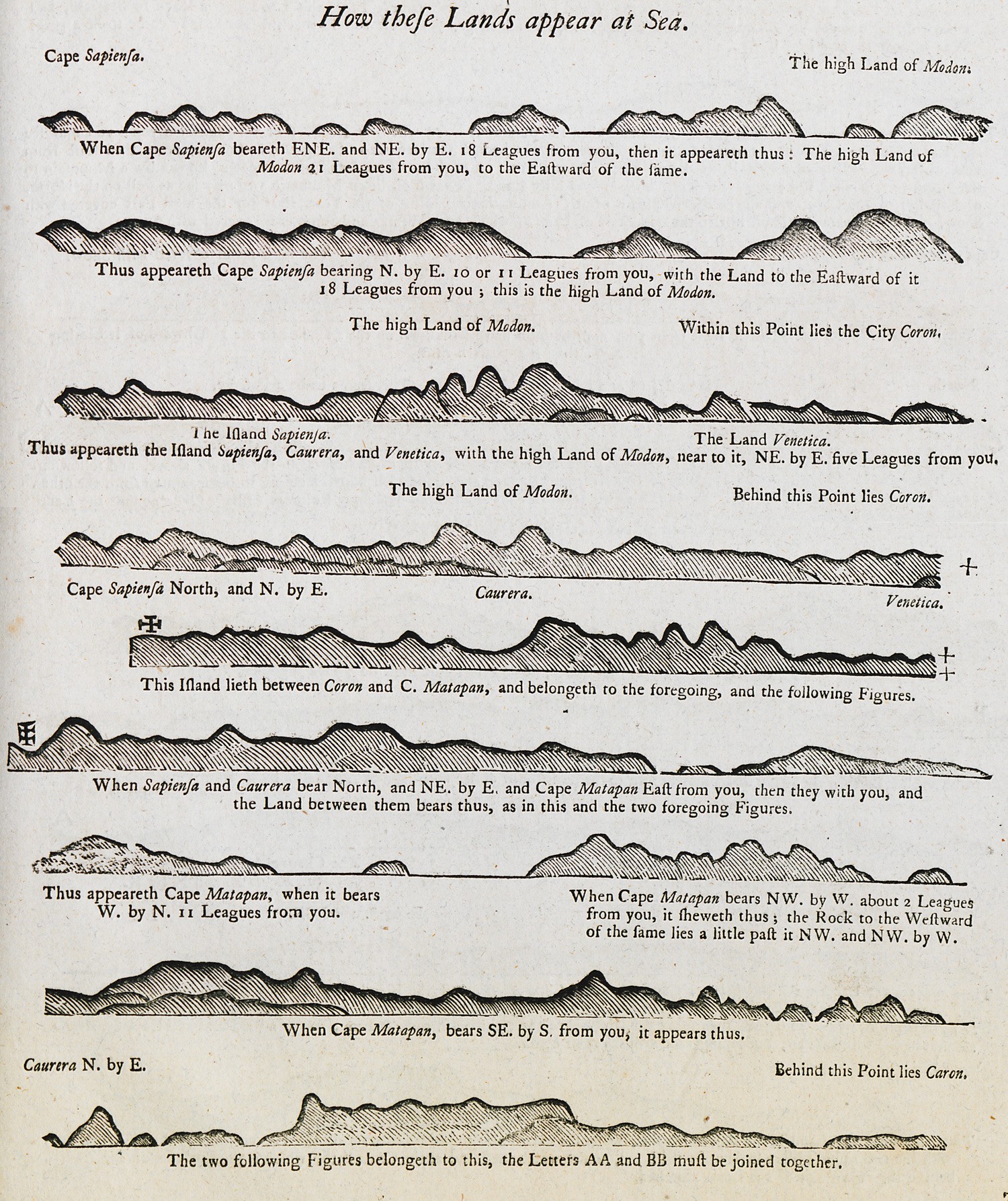
Outline of the coast of the Peloponnese as seen from the sea.
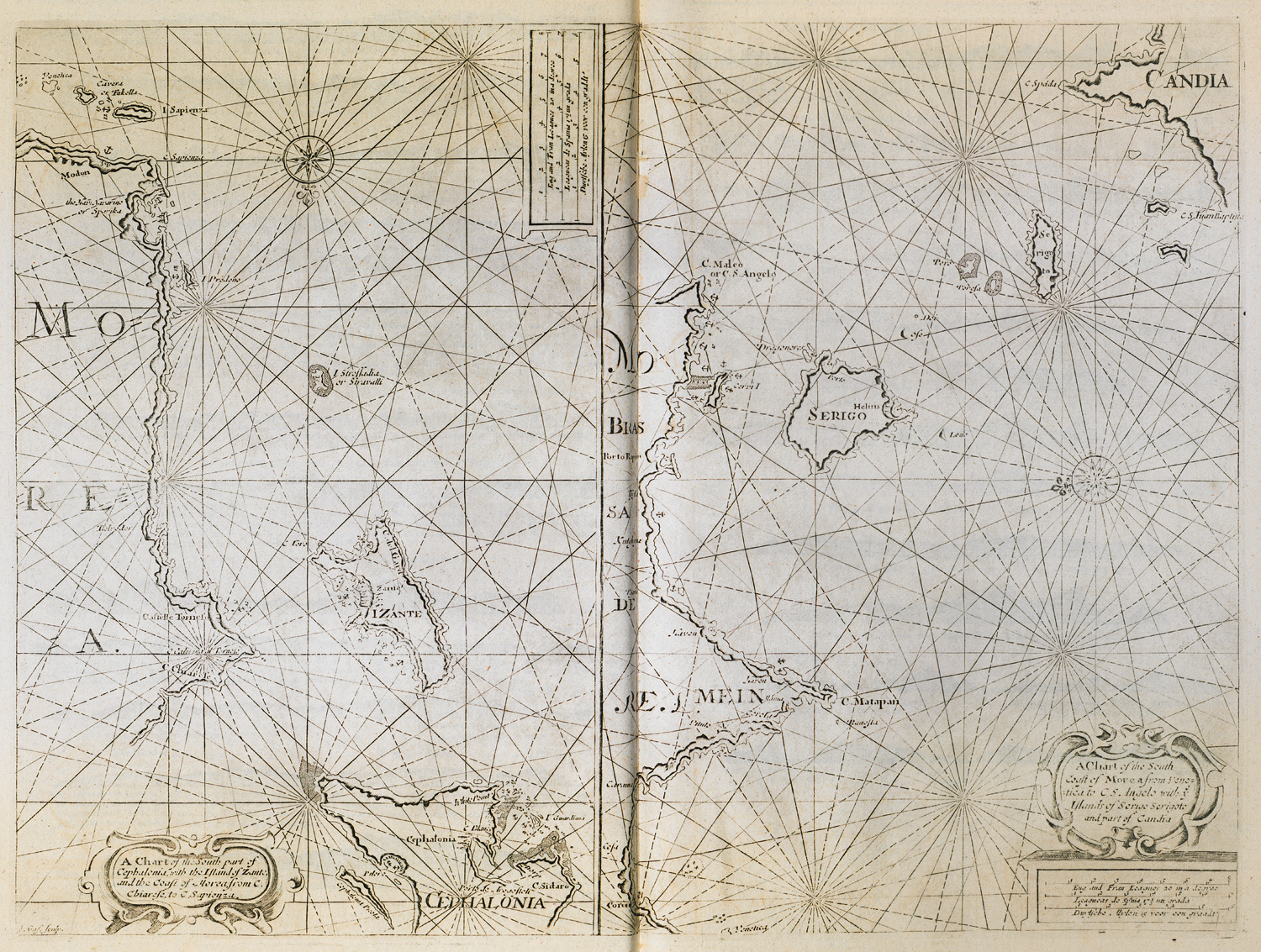
Nautical chart of the southern part of Cephalonia island, of Zakynthos island and the coast of the Peloponnese around the castle of Chlemoutsi. Nautical chart of the sourthern coast of the Peloponnese and Cythera island.
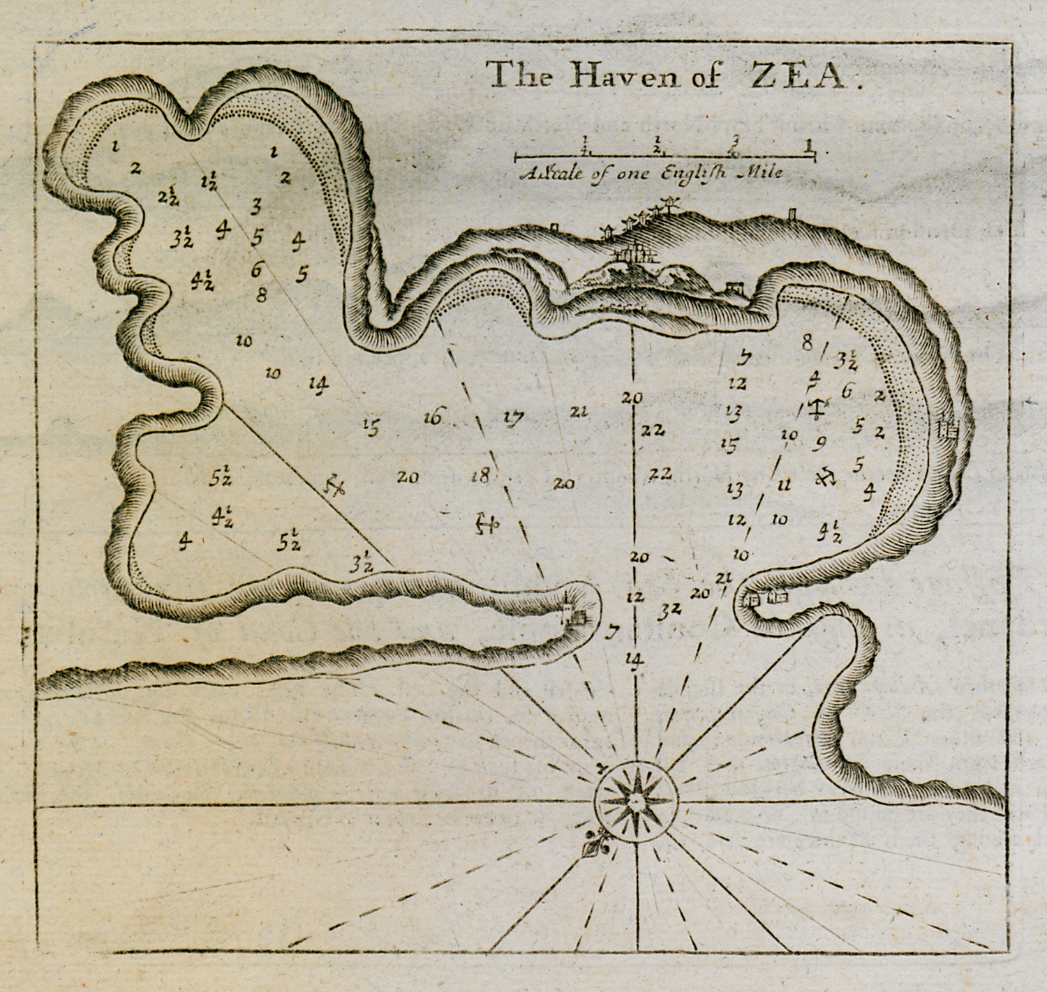
Nautical chart of the harbour and port of Kea island.
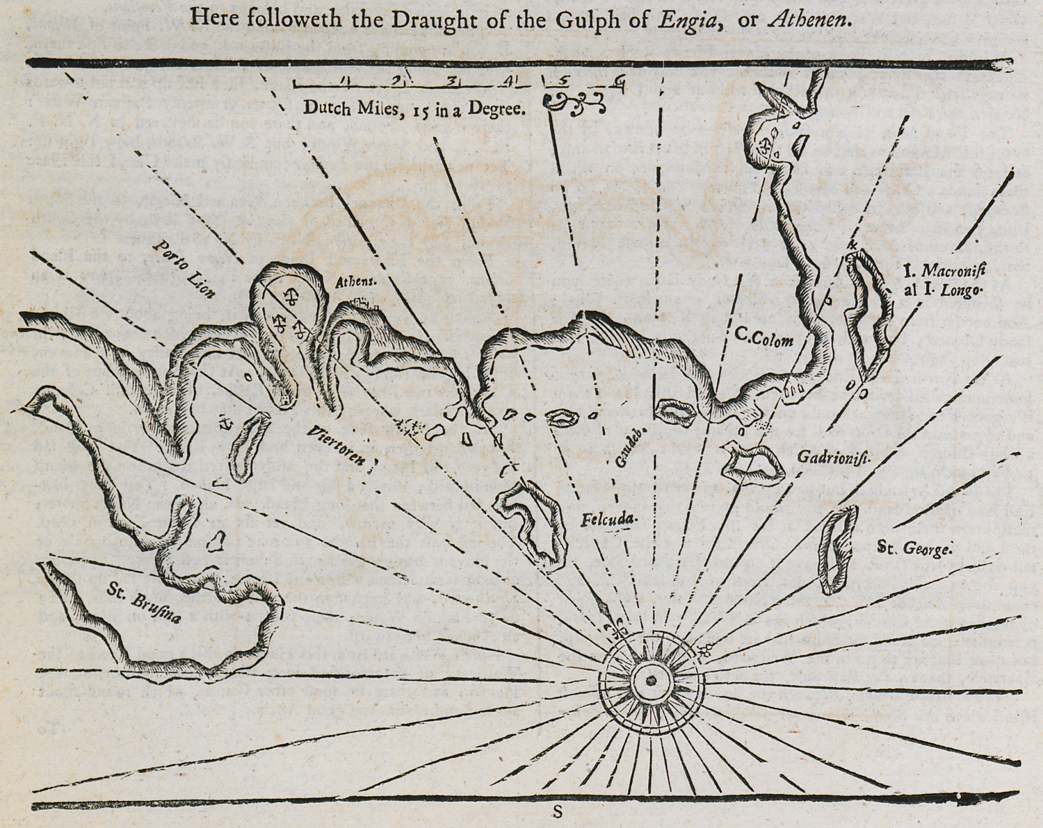
Nautical chart of the Saronic gulf and the southwestern coast of Attica.
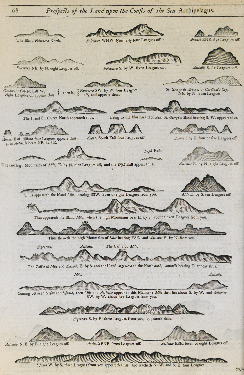
Outline of the coasts of several islands of the Cyclades as seen from the sea.
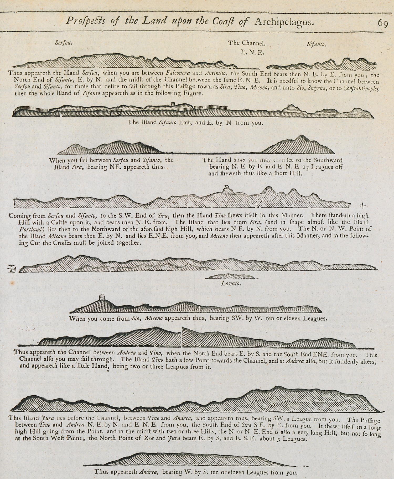
Outline of the coasts of several islands of the Cyclades as seen from the sea.
Nautical chart of the bay of Gallipoli, Turkey. View of Marmara island.
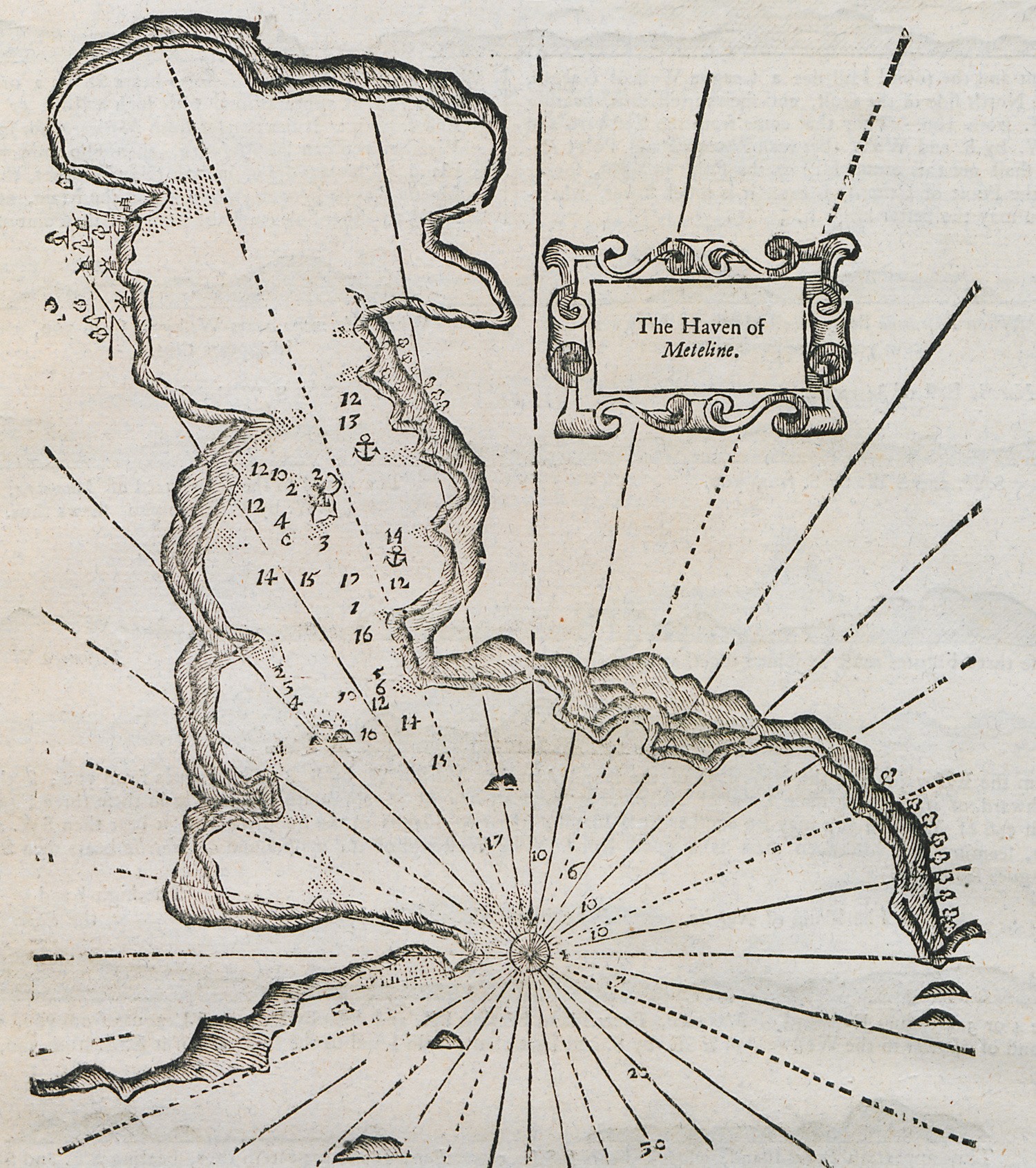
Nautical chart of the bay of Gera, Lesbos island.
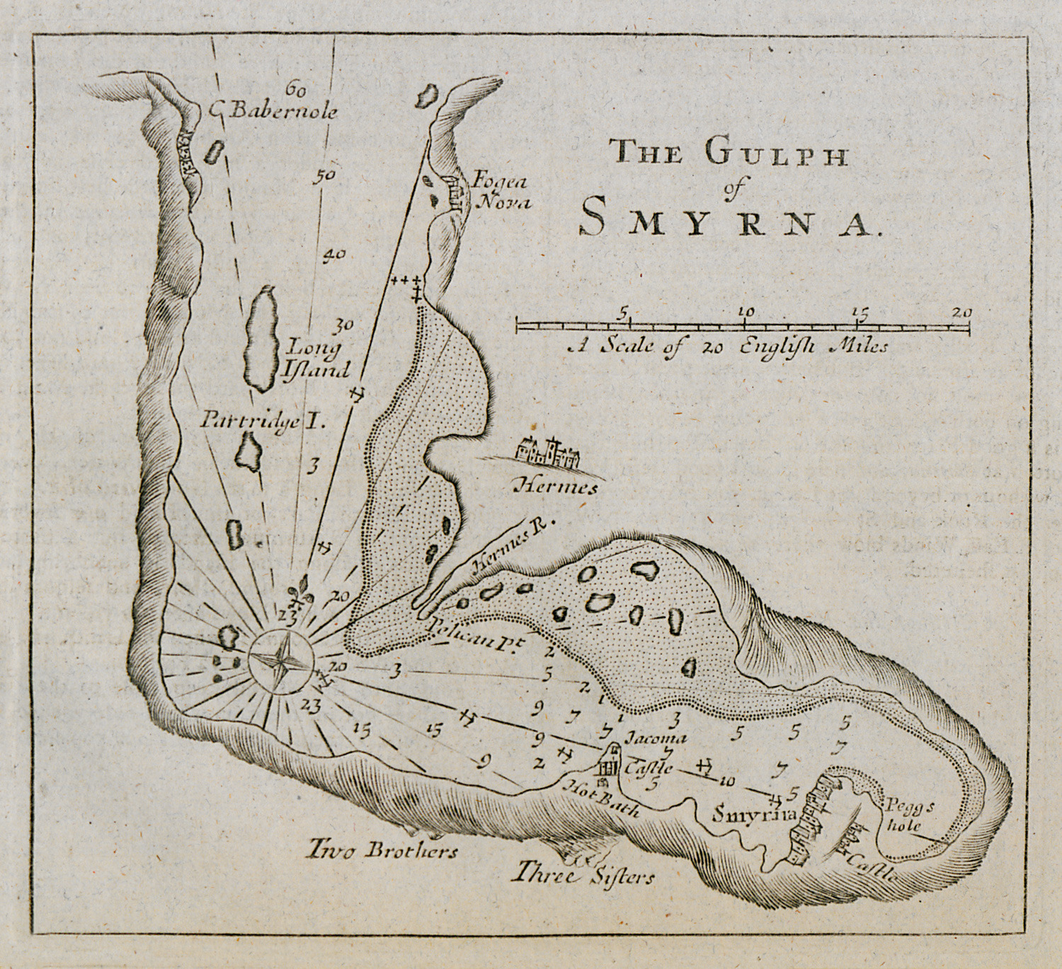
Nautical chart of the gulf of Izmir.
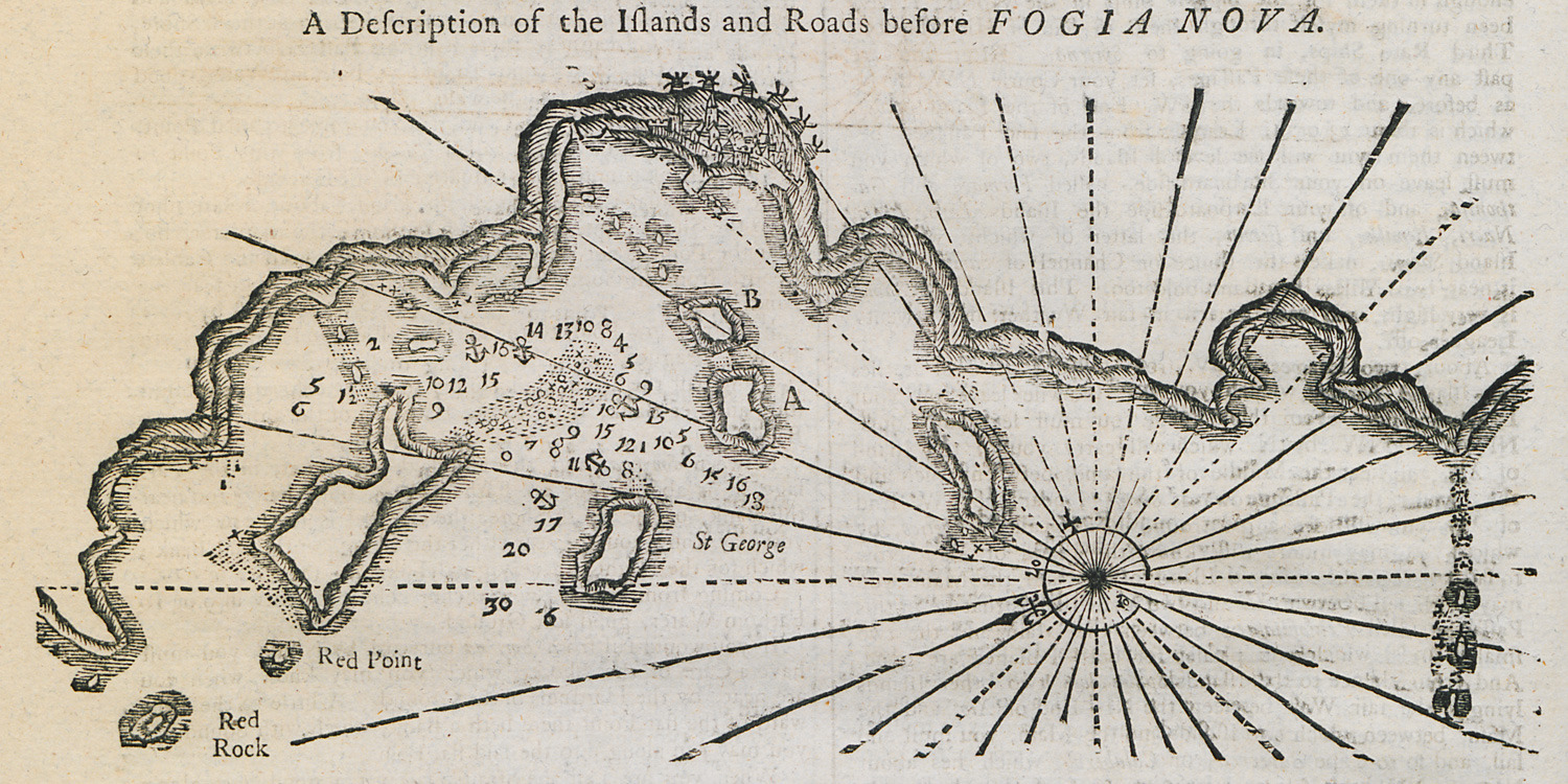
Nautical chart of the bay and the islands outside Yenifoça, Asia Minor.
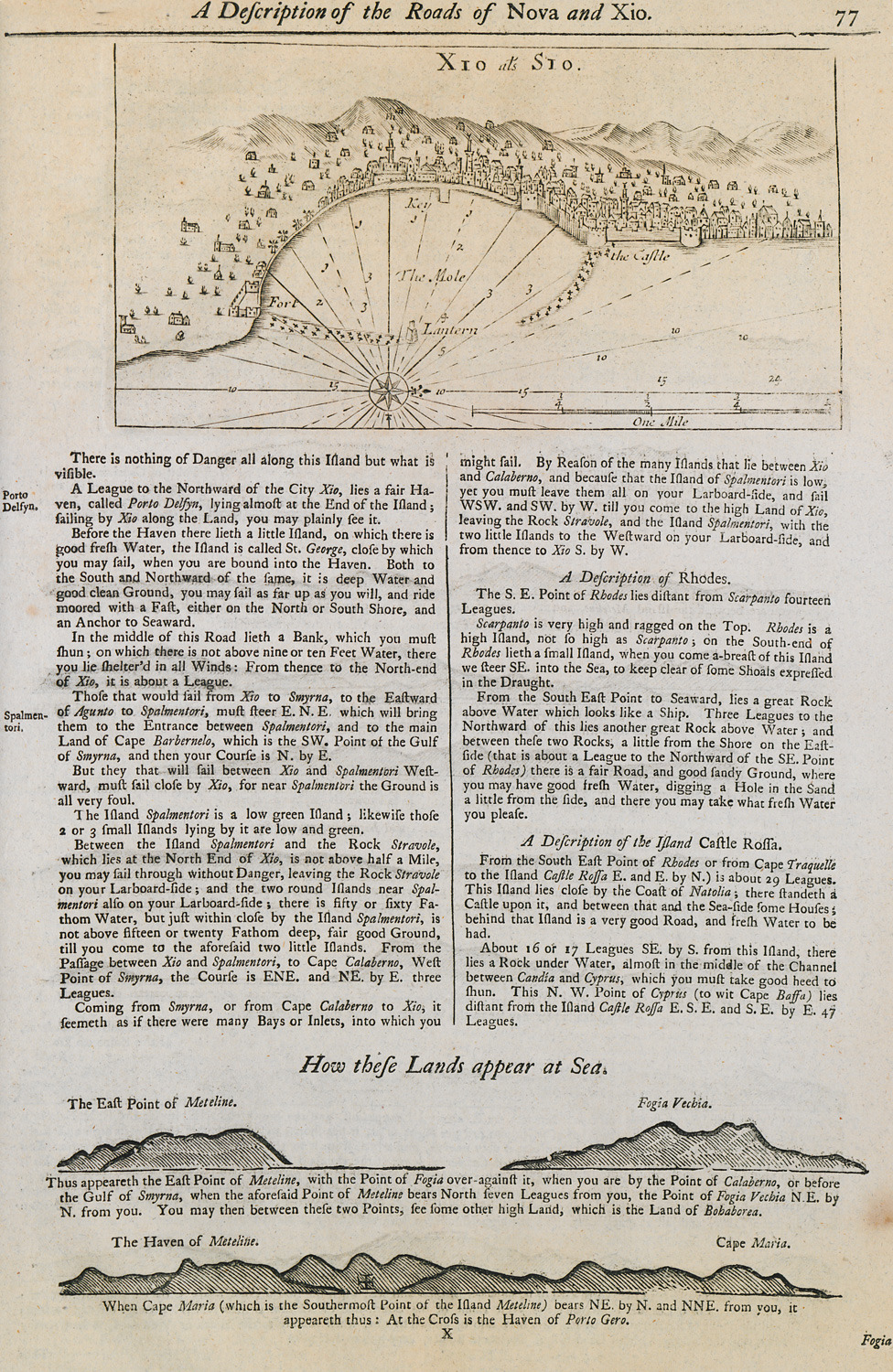
Nautical chart of the port of Chios. Outline of the coasts of Lesbos island and Foça in Asia Minor.
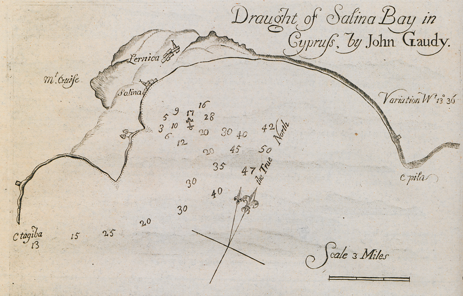
Nautical chart of the bay of Larnaca.
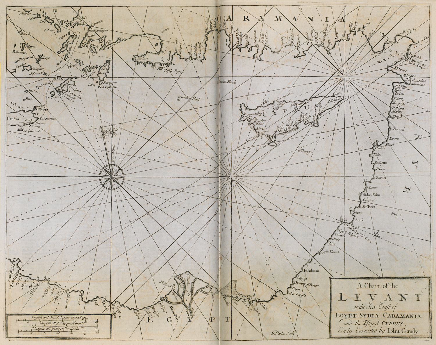
Nautical chart of the southern coast of Turkey, Cyprus and the coasts of Syria, Palestine and Egypt.
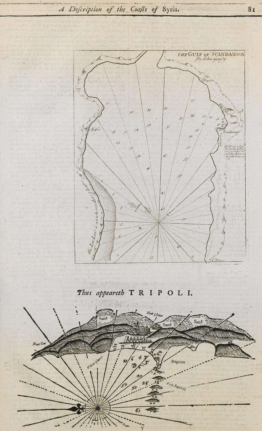
Nautical chart of the bay of Alexandretta in Turkey. Nautical chart of the port of Tripoli in Lebanon.
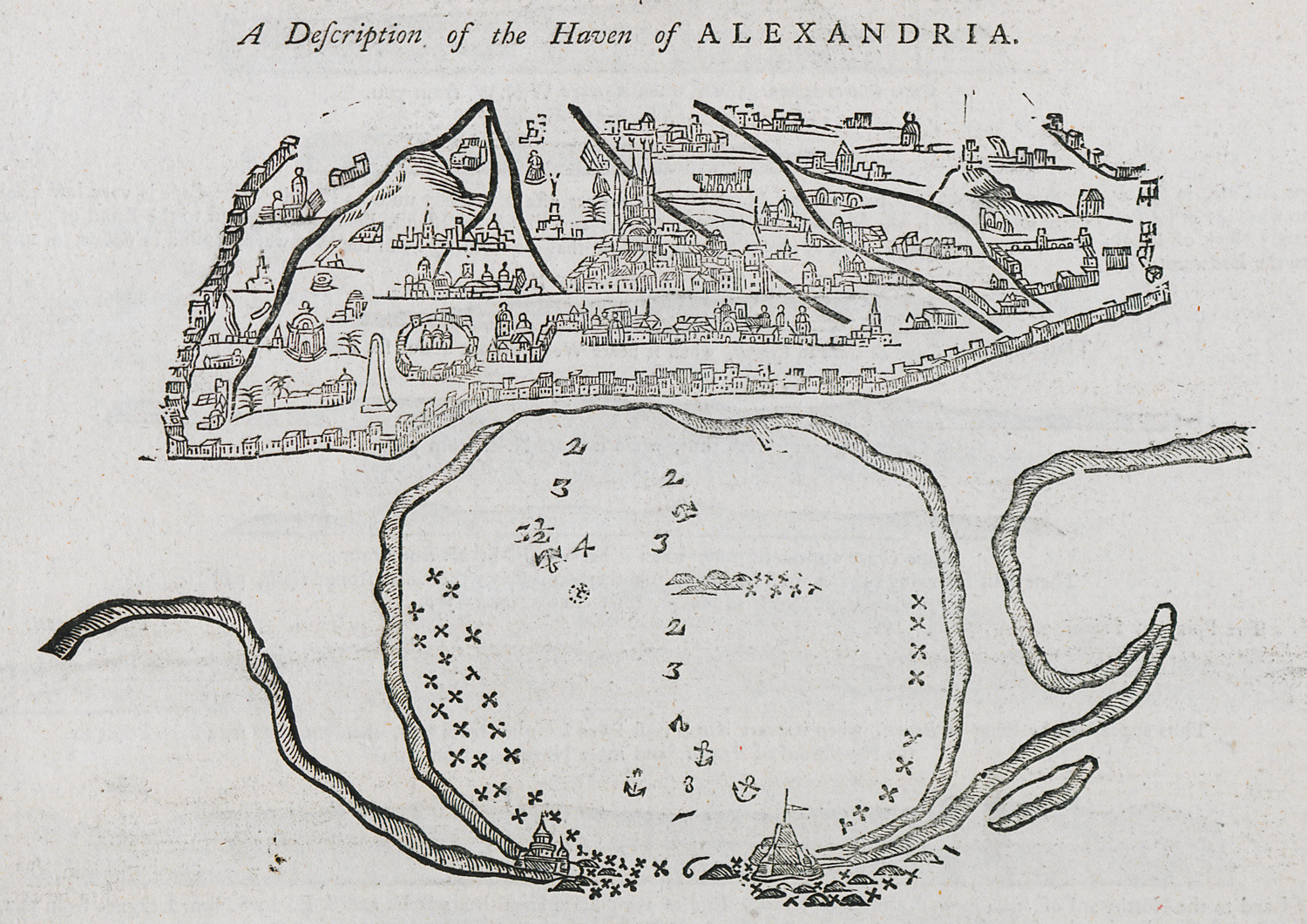
Nautical chart of the port of Alexandria.
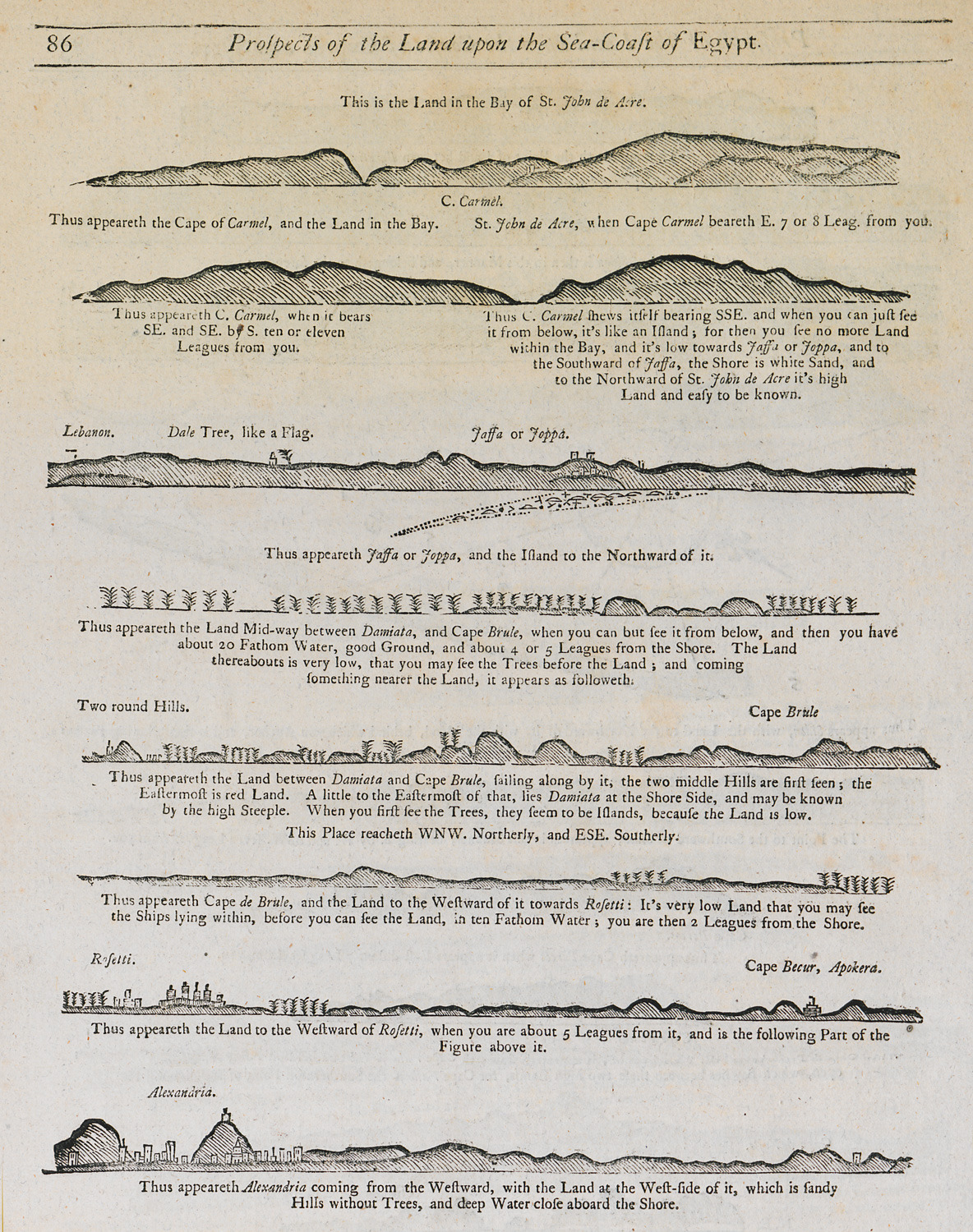
Outline of the coasts of modern-day Israel and Egypt as seen from the sea.


