

Maps (2145 Subjects)
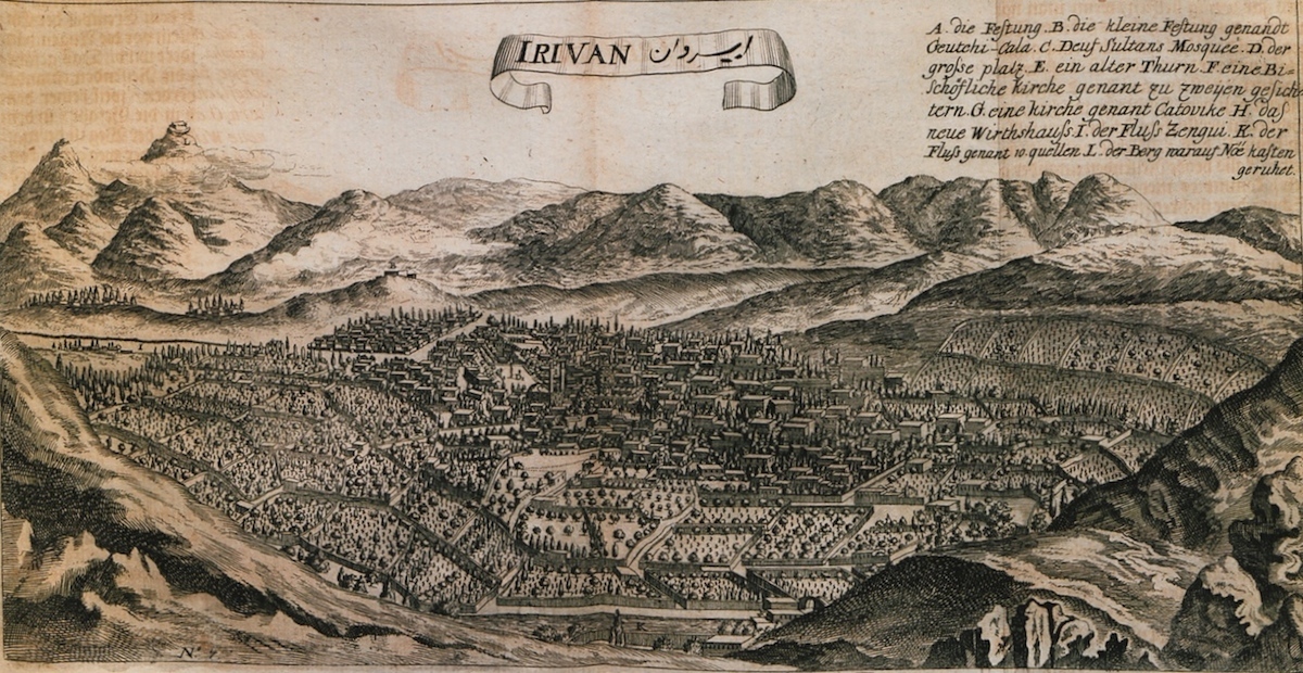
View of Yerevan, Armenia. In the background, the Ottoman castle of the city. In the middleground, the ancient castle of Erebuni.
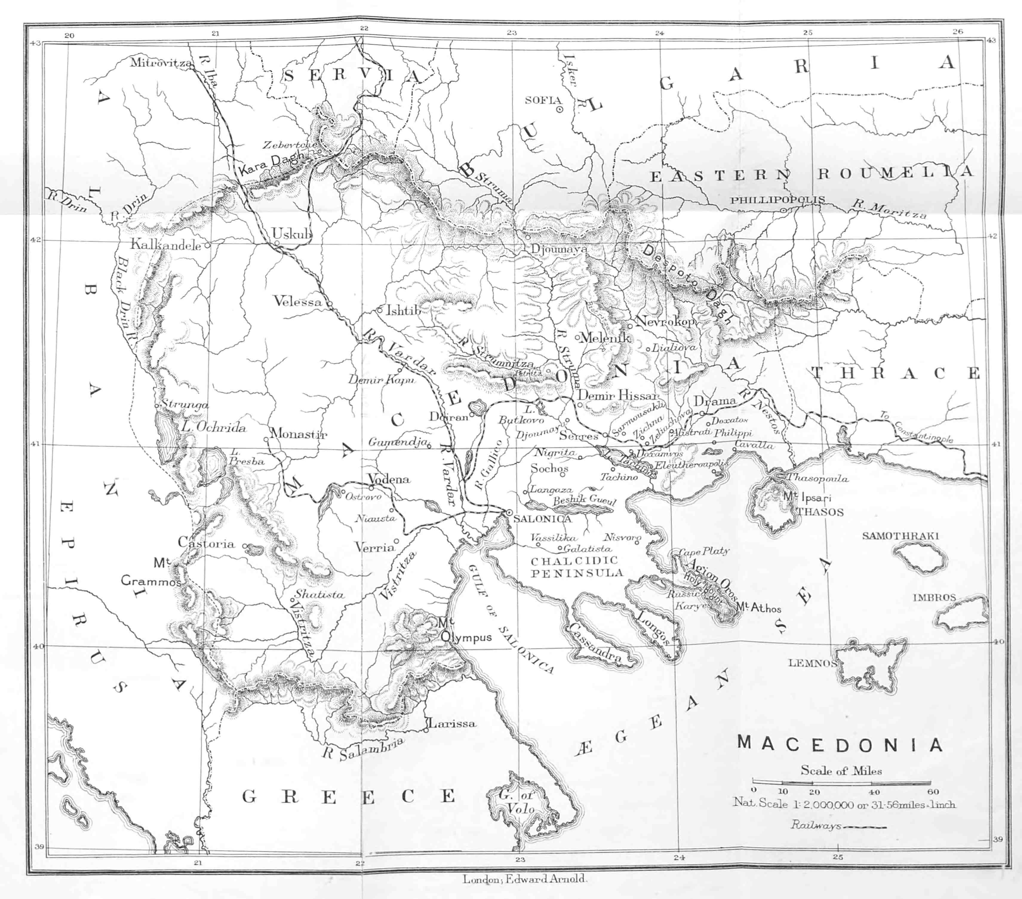
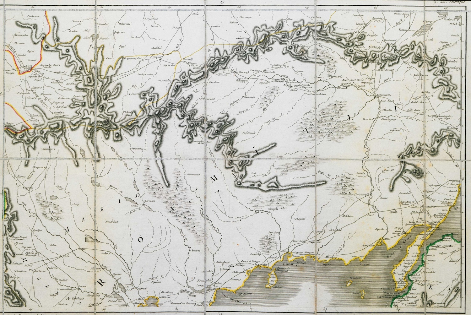
Map of Macedonia.
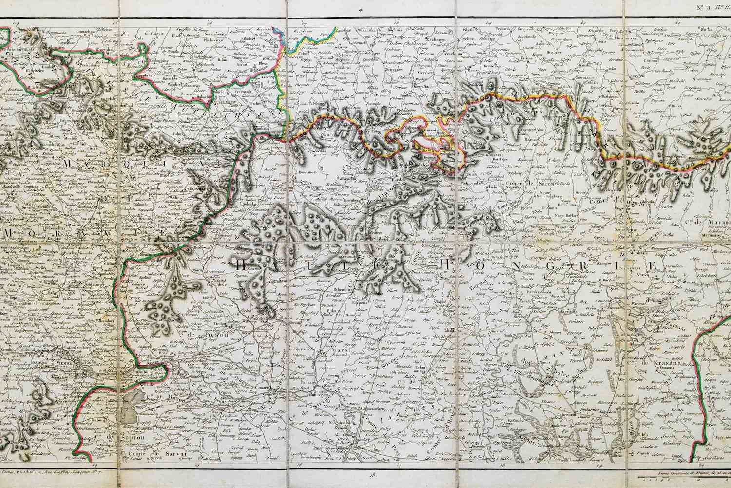
Map of part of Slovakia. This region marked the border between the Kingdom of Hungary and the Ottoman Empire at the time of the latter's expansion in Europe.
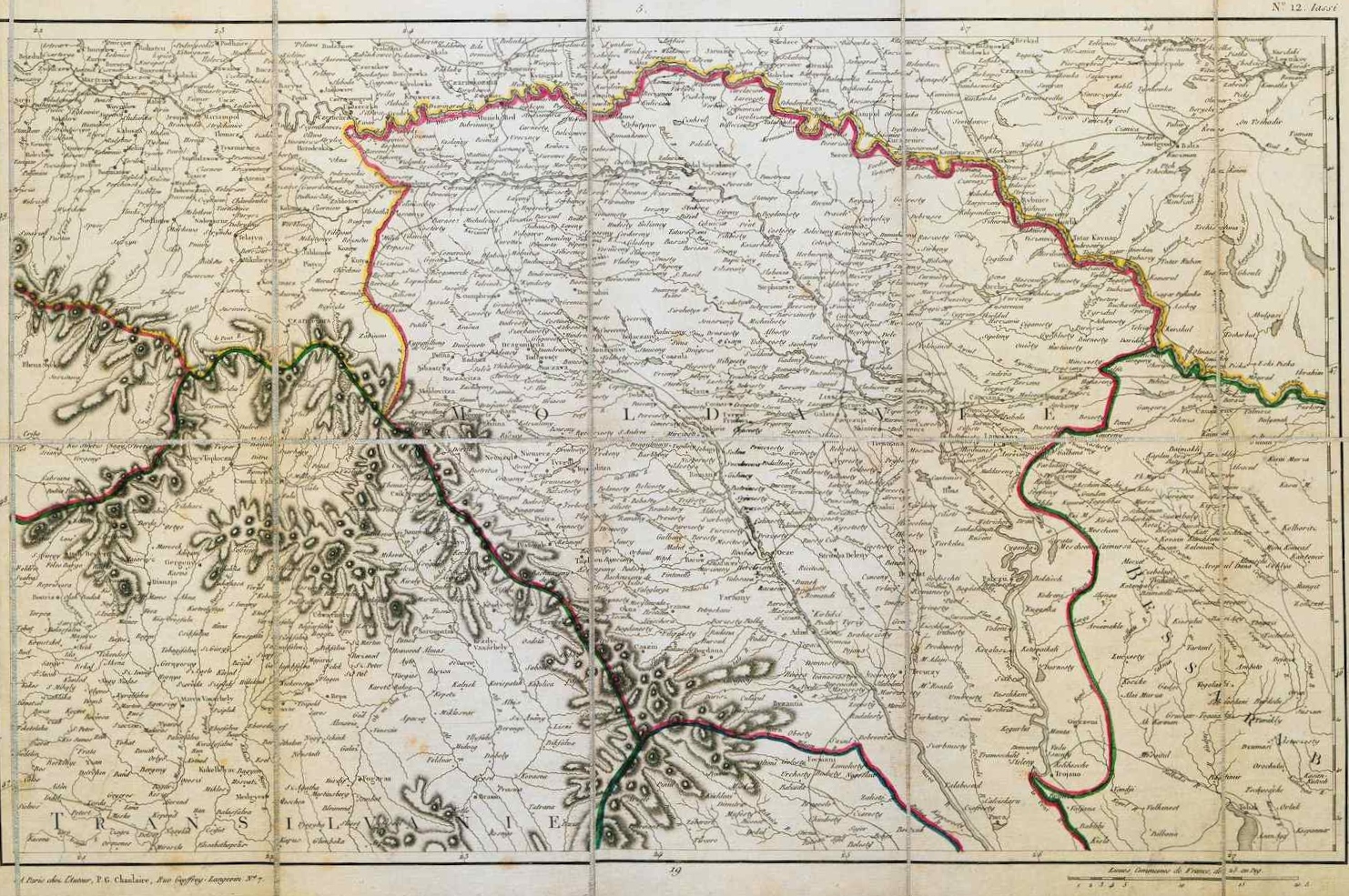
Map of Moldavia in the Ottoman era.
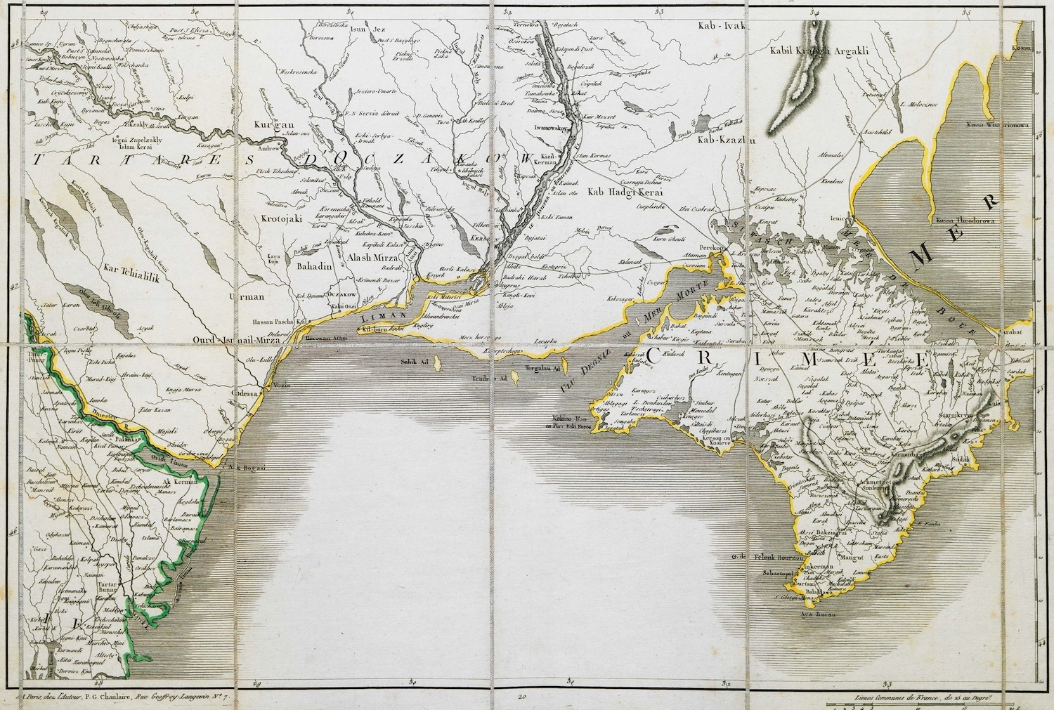
Map of Crimea.
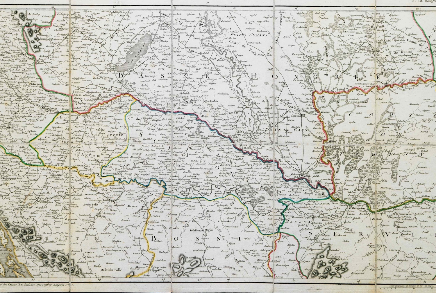
Map of parts of Hungary, Slovakia and Croatia.
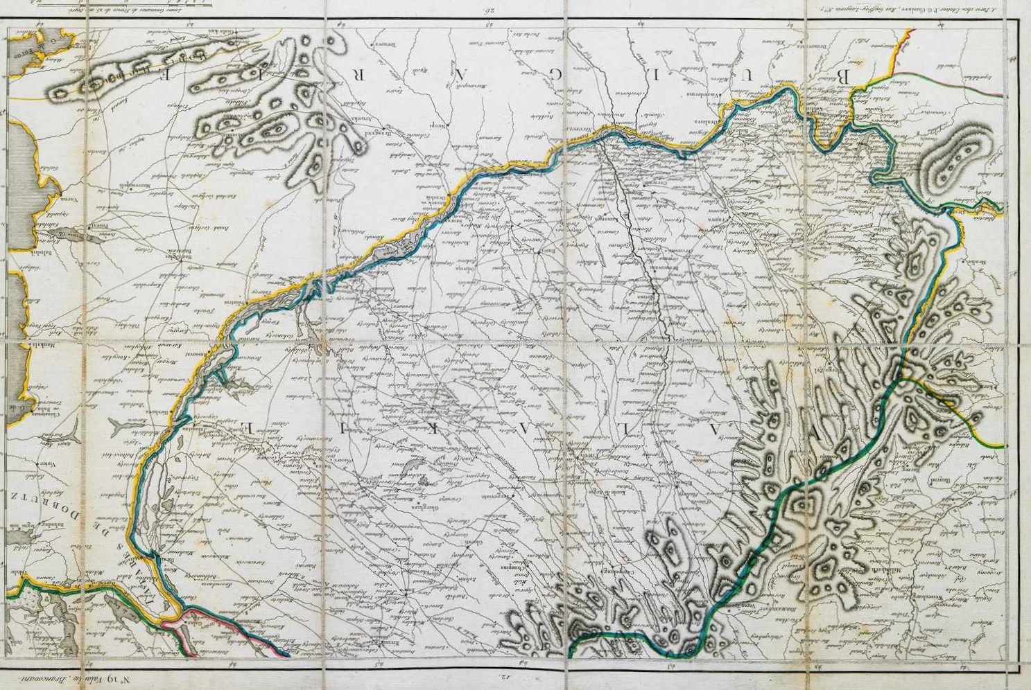
Map of Wallachia, historical region of Romania.
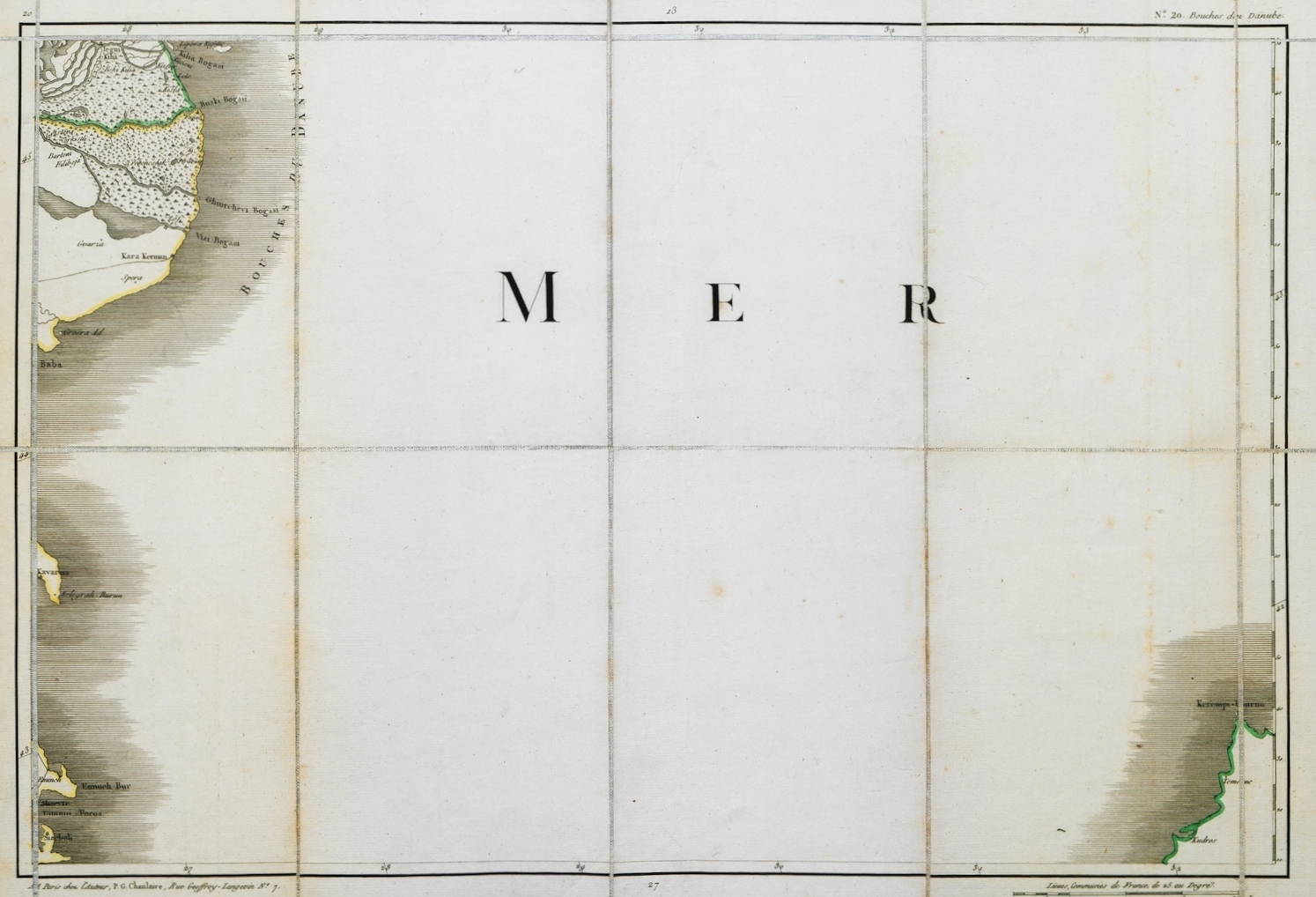
Map of the western part of the Black Sea.
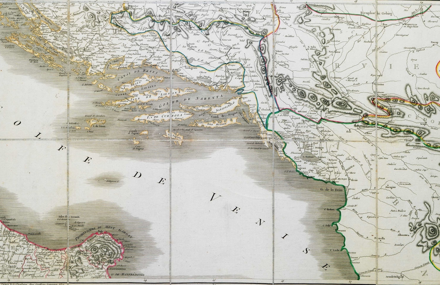
Map of part of southern Croatia and northwestern Albania.
Map of part of Macedonia, Thrace and the Dardanelles.
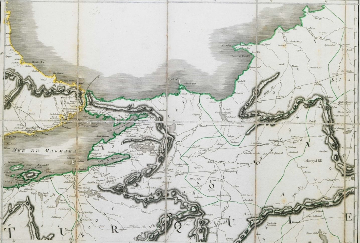
Map of part of eastern Thrace and northwestern Asia Minor, with Istanbul.
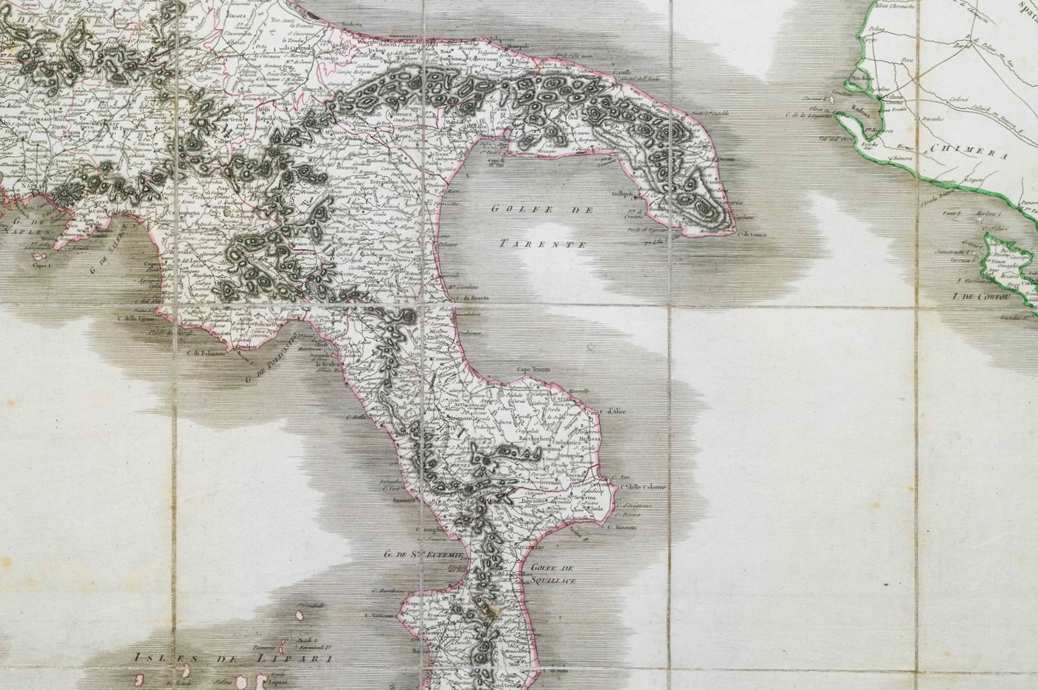
Map of part of Southern Italy.
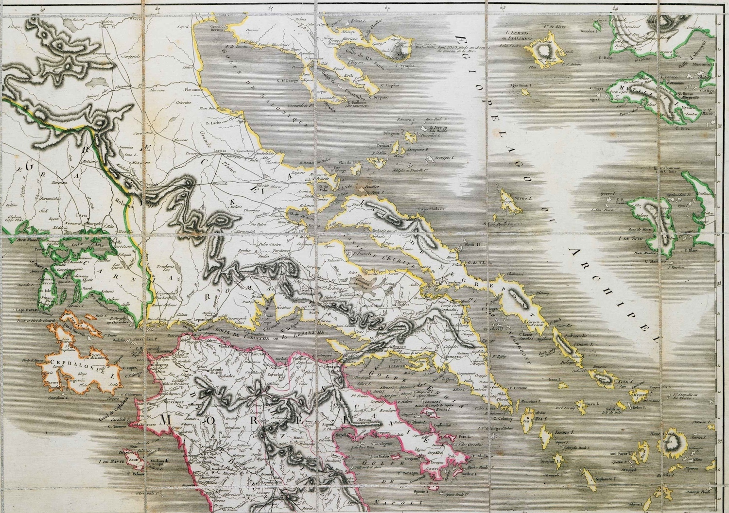
Map of part of Central Greece, the Peloponnese and the Greek islands.
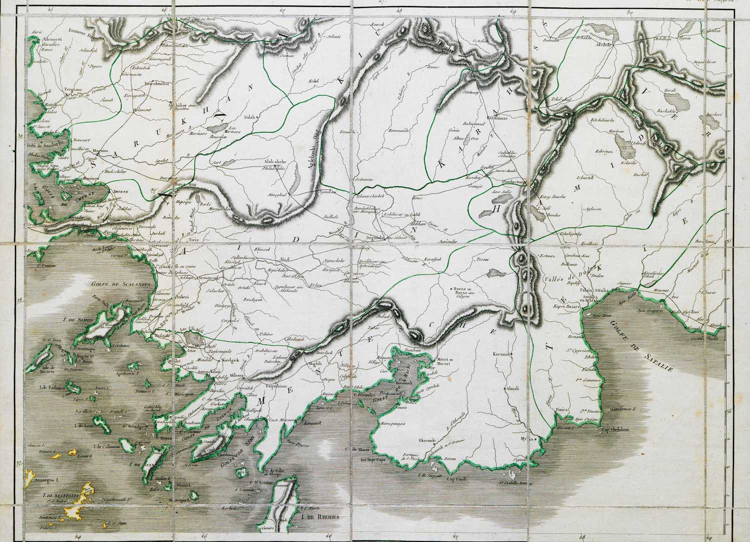
Map of the coast of Turkey from Izmir to Antalya.
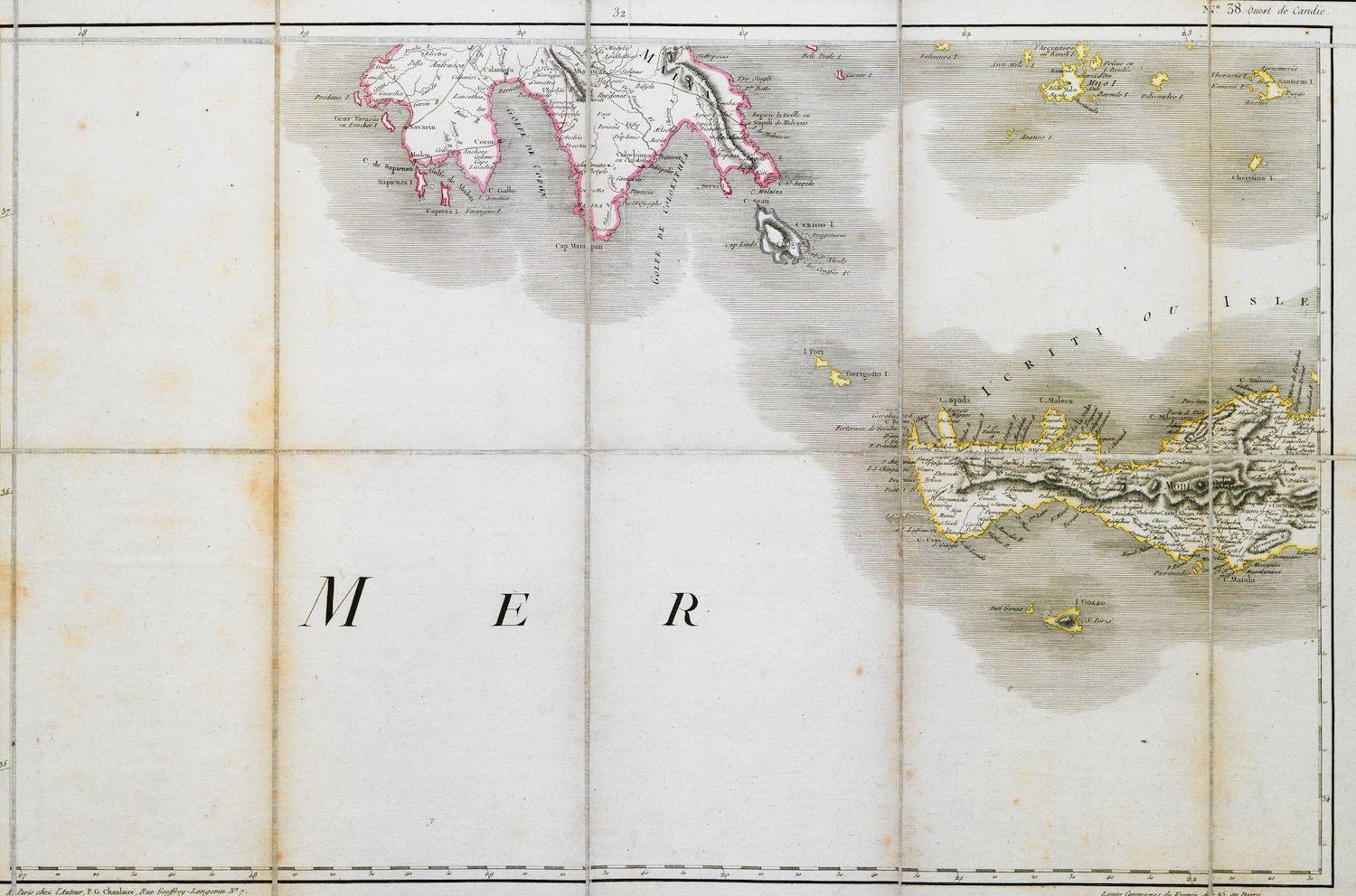
Map of the southern part of the Peloponnese and western Crete.
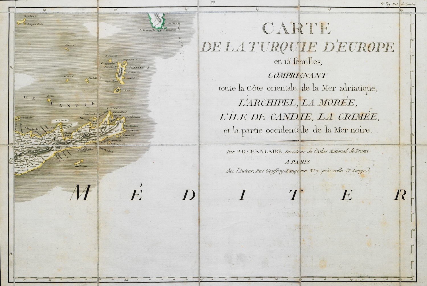
Map of part of eastern Crete.
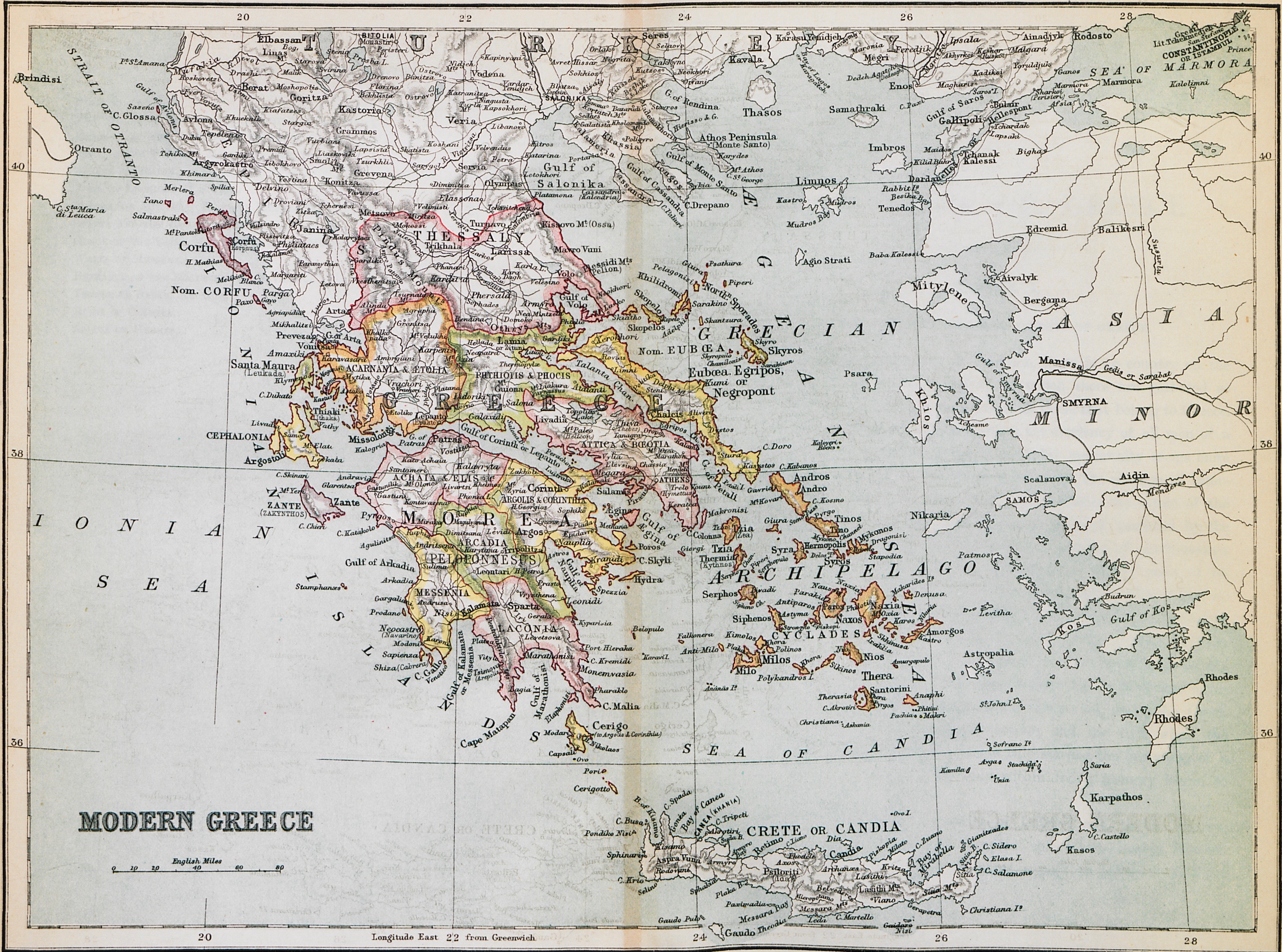
Map of Greece

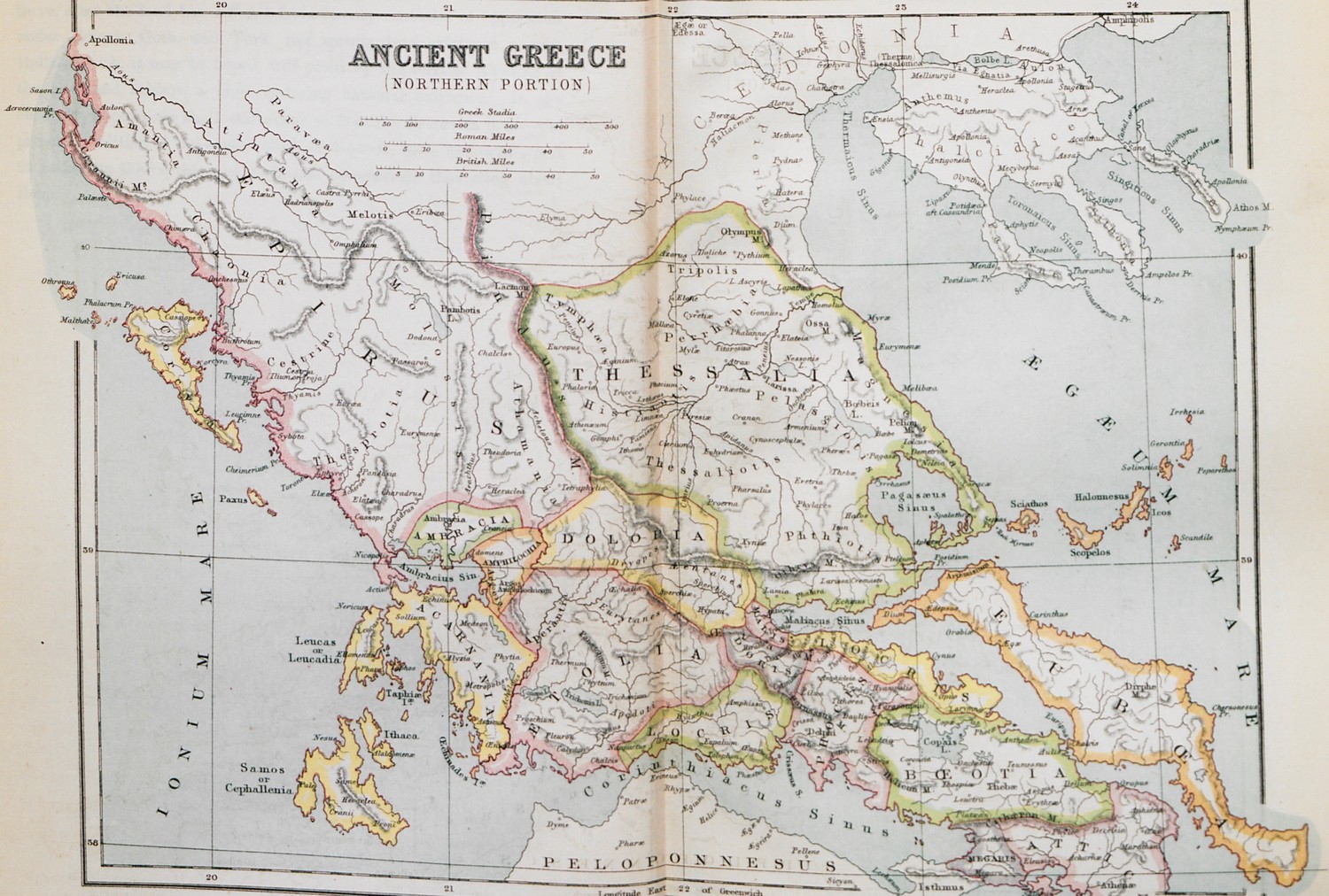
Map of Central Greece, Euboea, Thessaly and Epirus.
Map of the Peloponnese.
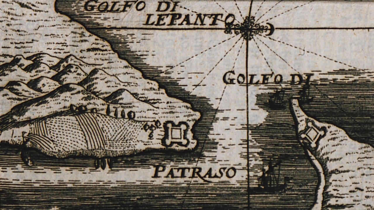
The strait of Rio and Antirrion with plans of the fortresses of Rio and Antirrion.
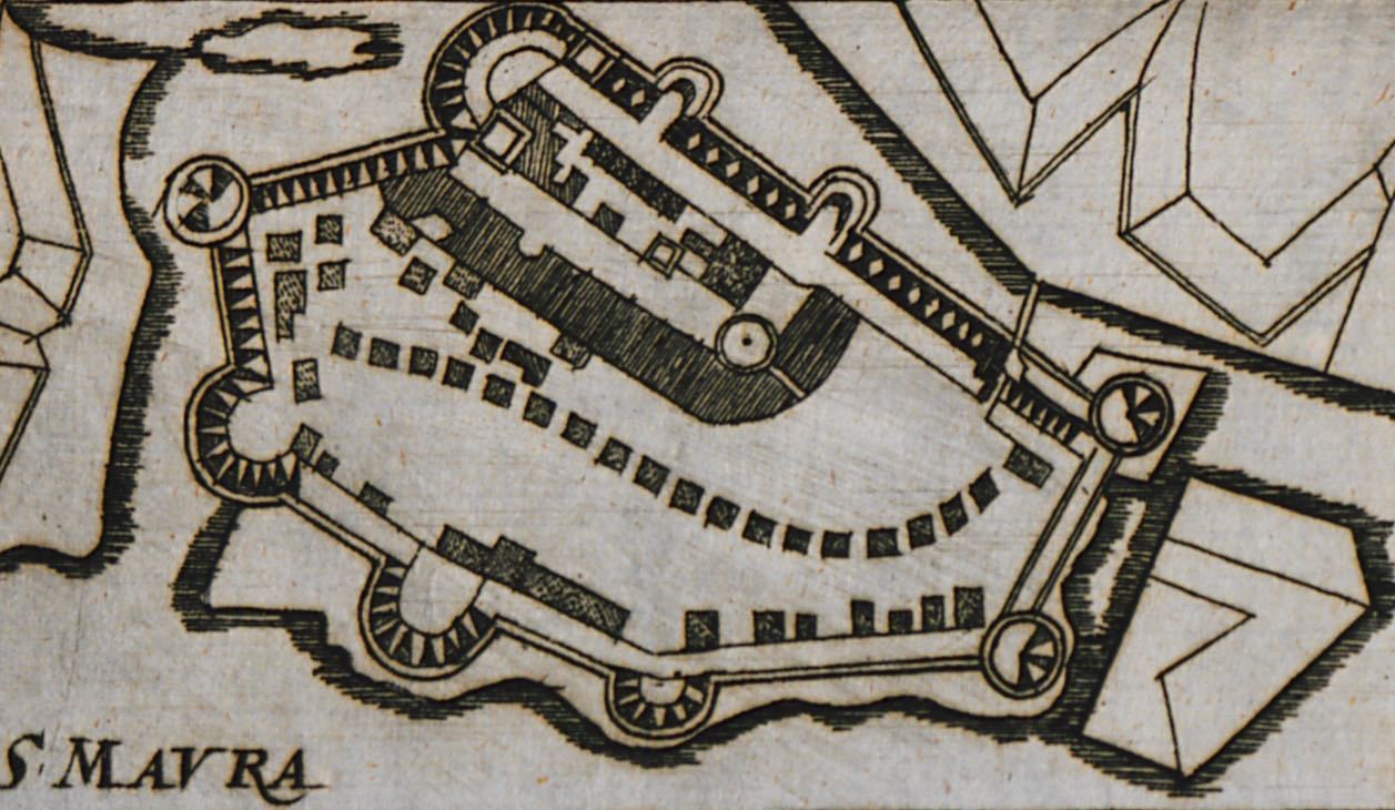
Plan of the castle of Santa Maura on Lefkada island.
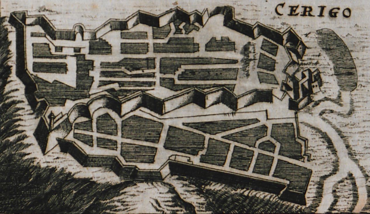
Plan of the castle of Cythera.
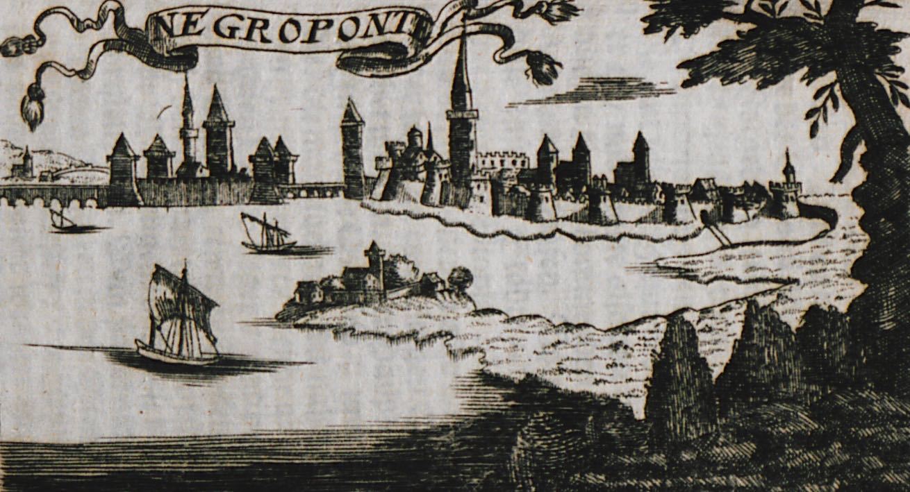
View of Chalcis and Karababa fortress.
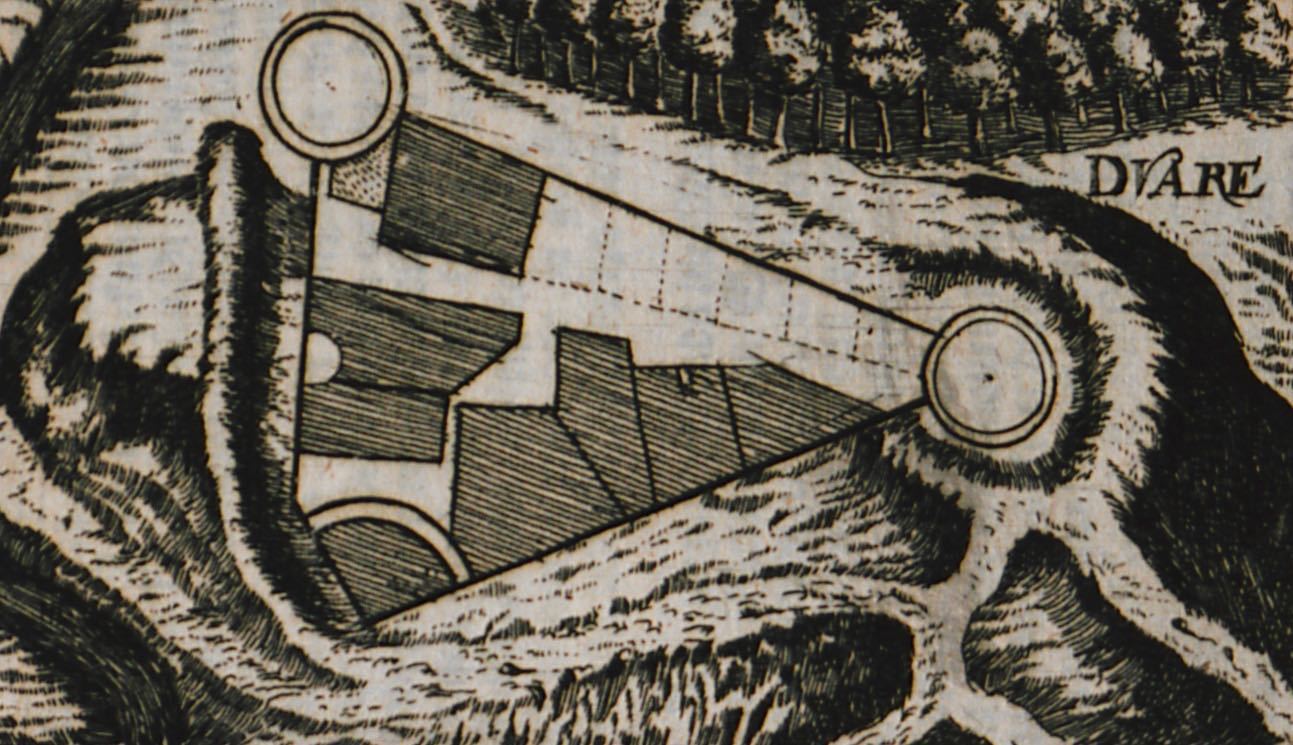
Plan of Zadvarje fortress, Croatia.
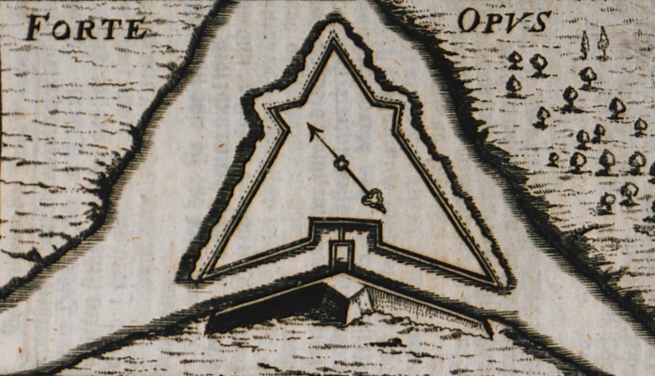
Plan of Opus fortress in Opuzen, Croatia.
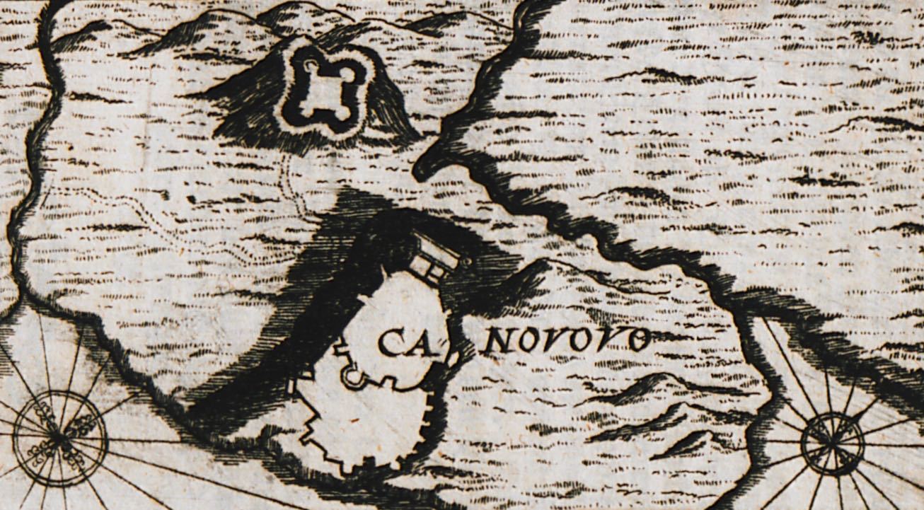
Map of the city, castle and wider area of Castelnuovo (today Herceg Novi) in Montenegro.
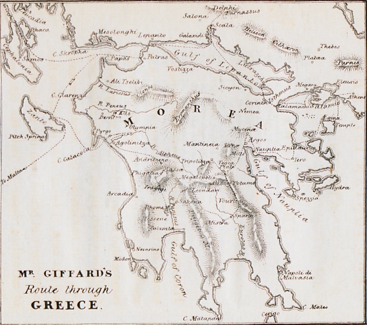
Map of the Peloponnese.
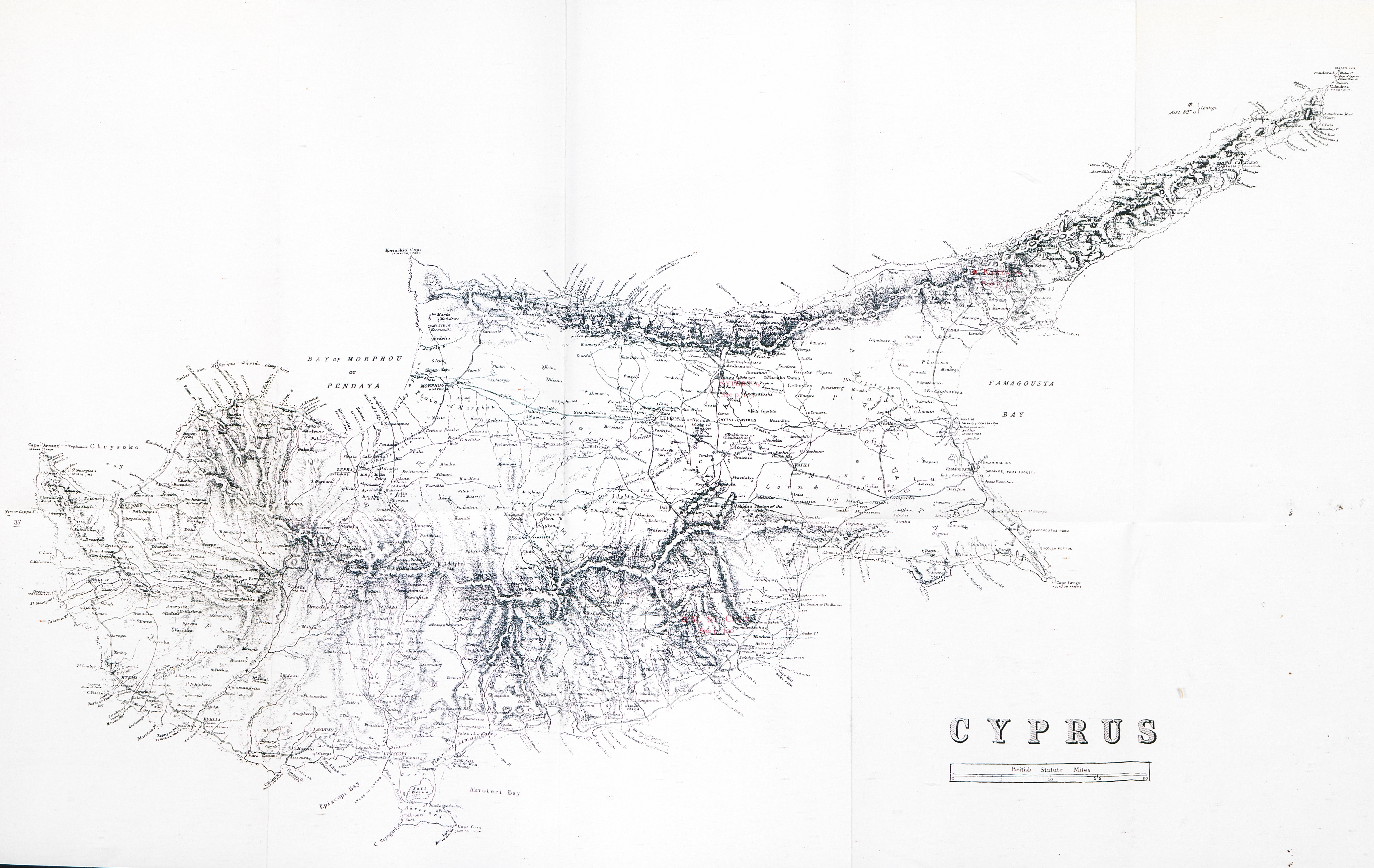
Map of Cyprus.
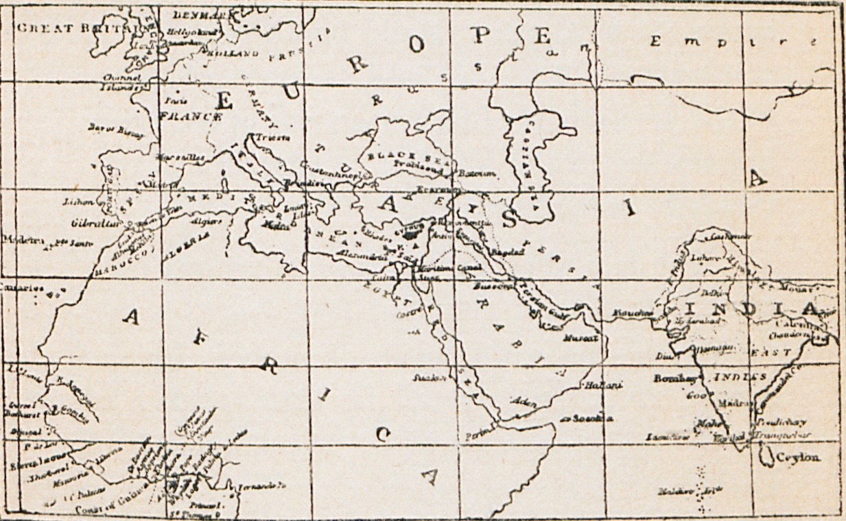
Map of Europe, Asia and Africa, with the position of Cyprus shown in black.
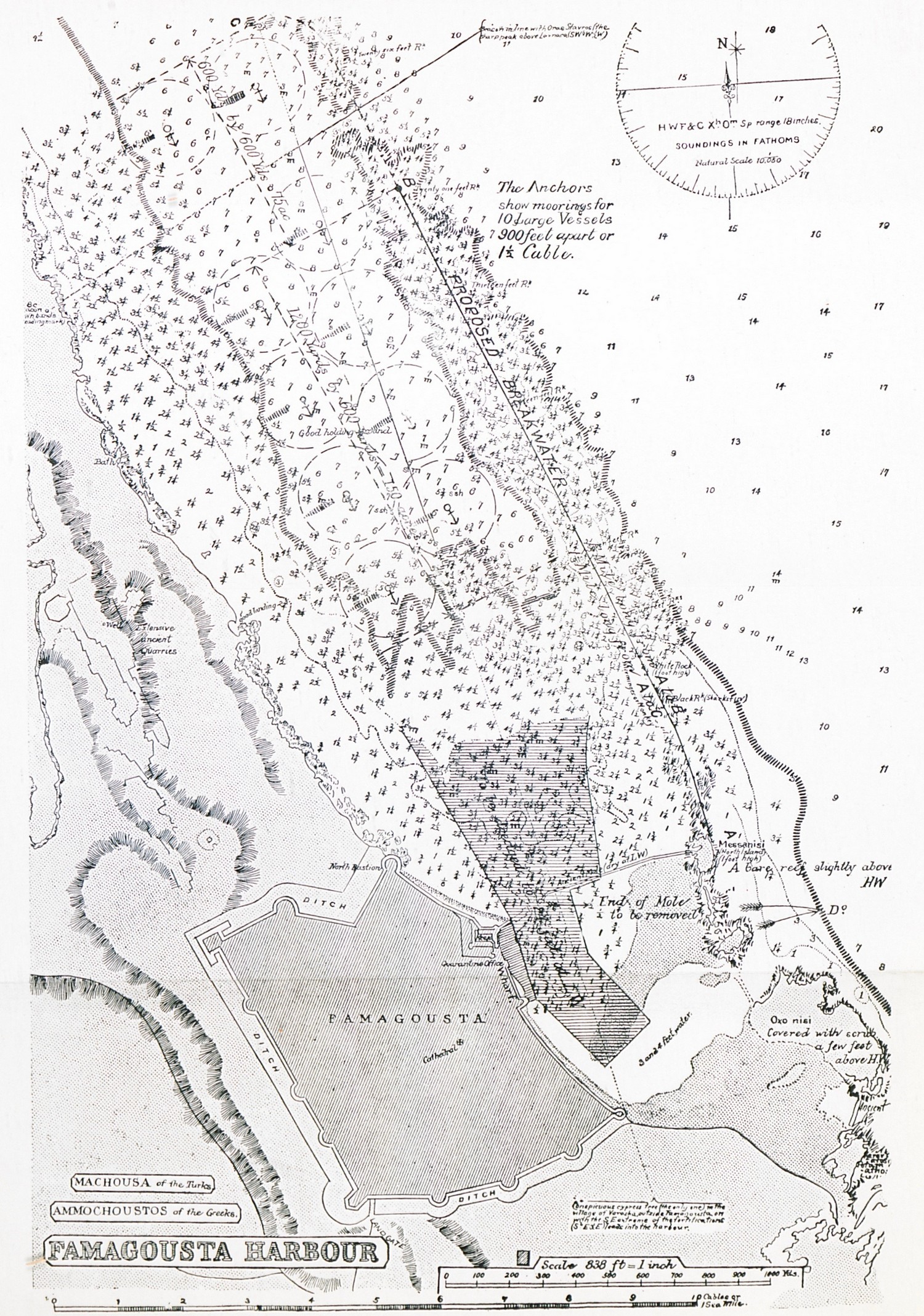
Topographic map of Famagusta.