Maps (2145 Subjects)
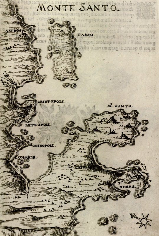
Map of Mount Athos peninsula.
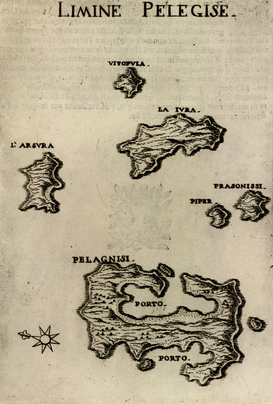
Map of Kyra Panagia (Pelagonisi), Gioura and the surrounding islets.
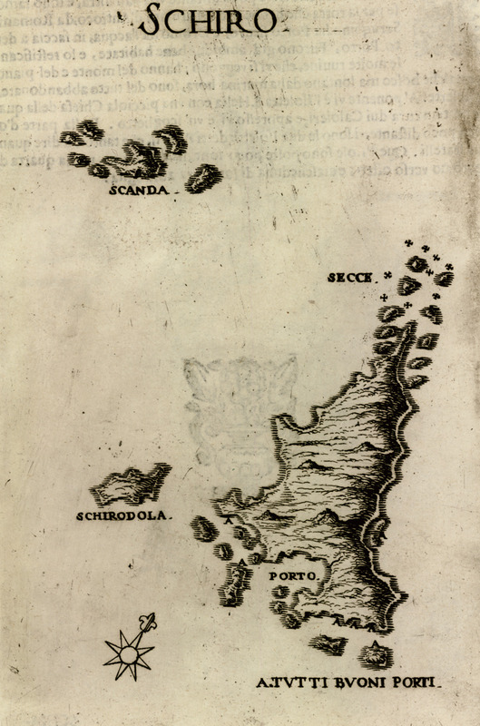
Map of Skyros showing Skyropoula and Skantzoura islets.
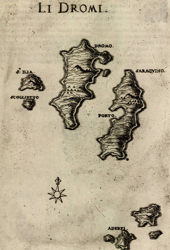
Map of Sarakino and Plateia islets in the Sporades.
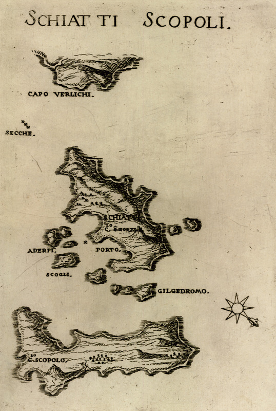
Map of Skiathos and Skopelos.
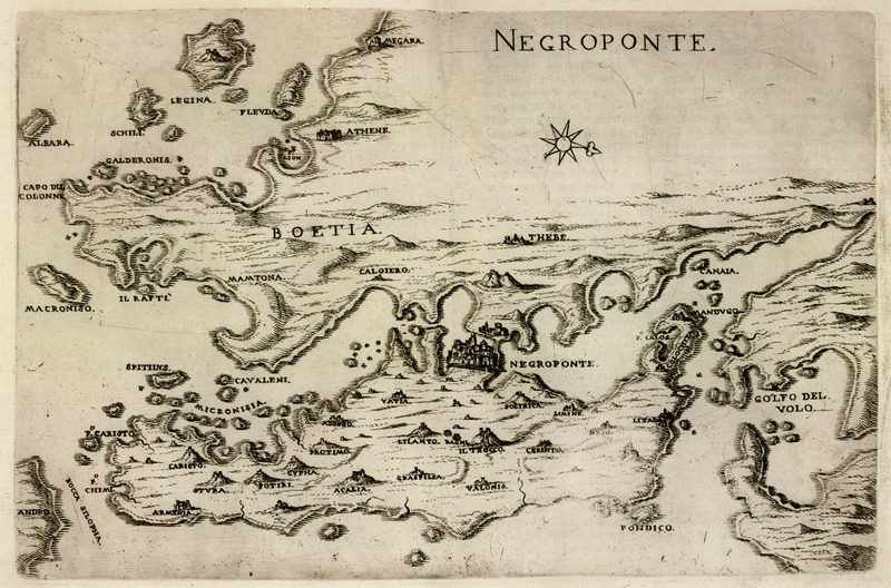
Map of Euboea with the coast of Central Greece.
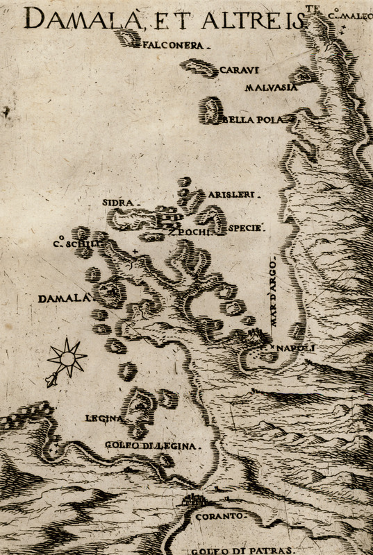
Map of the islands of the Argo-saronic gulf and the peninsula of Argolis.
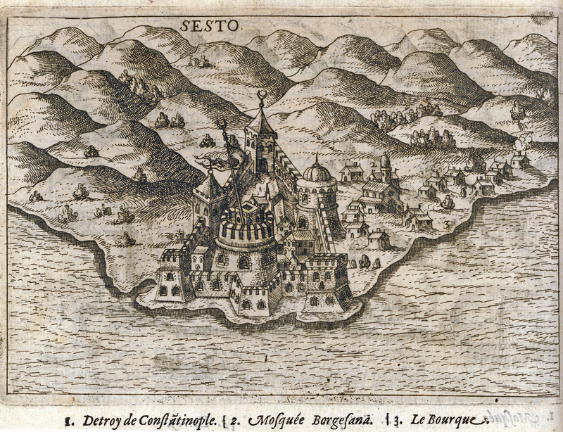
Map of Sestos.
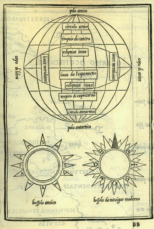
World sphere. Older and contemporary form of compass.
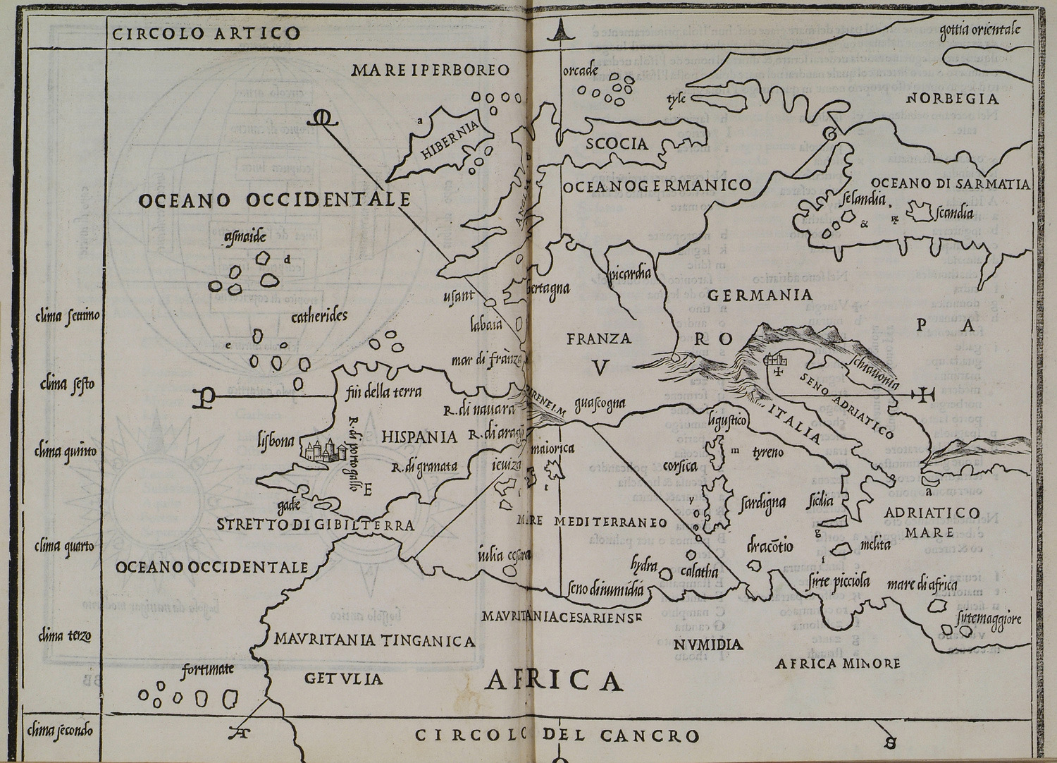
Map of Europe.
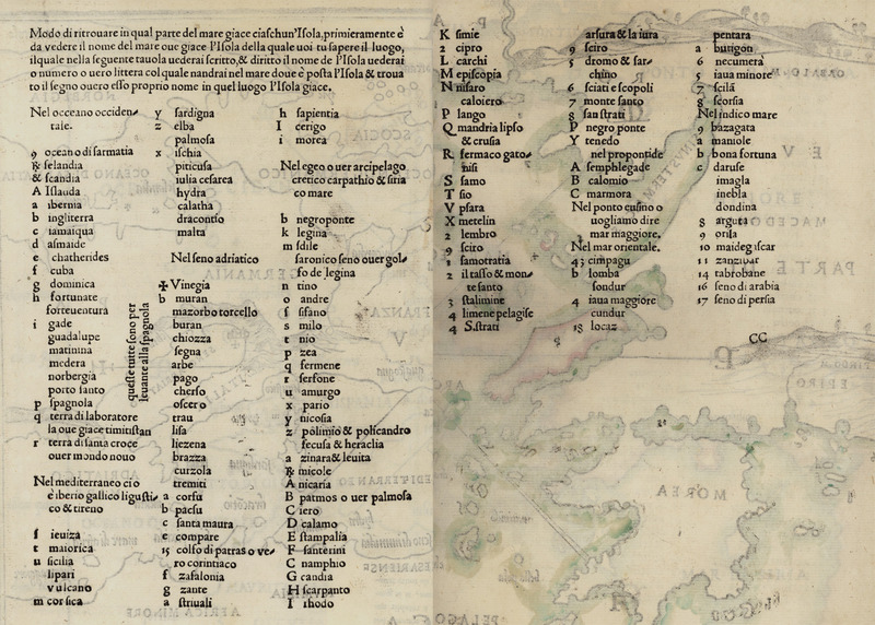
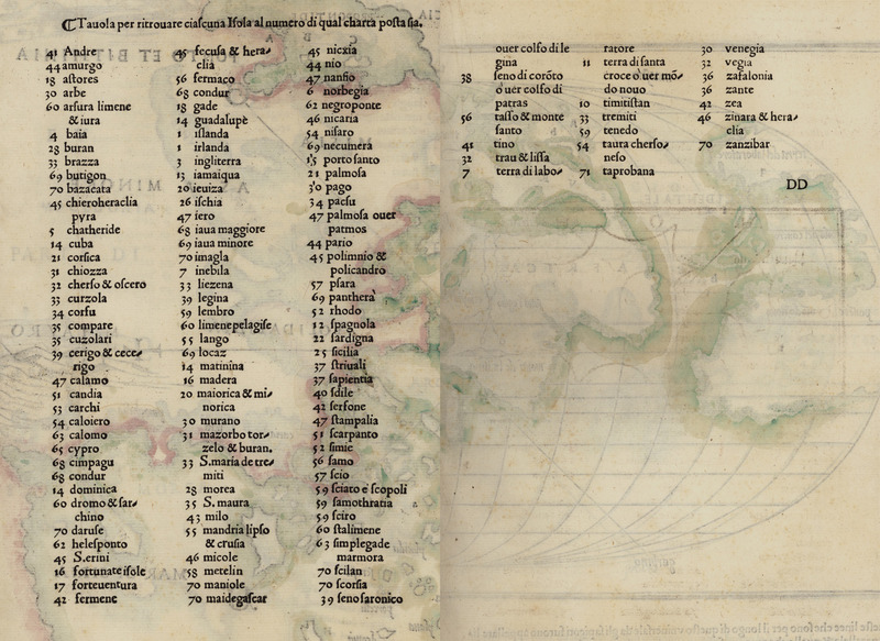
Index to the map of Europe.
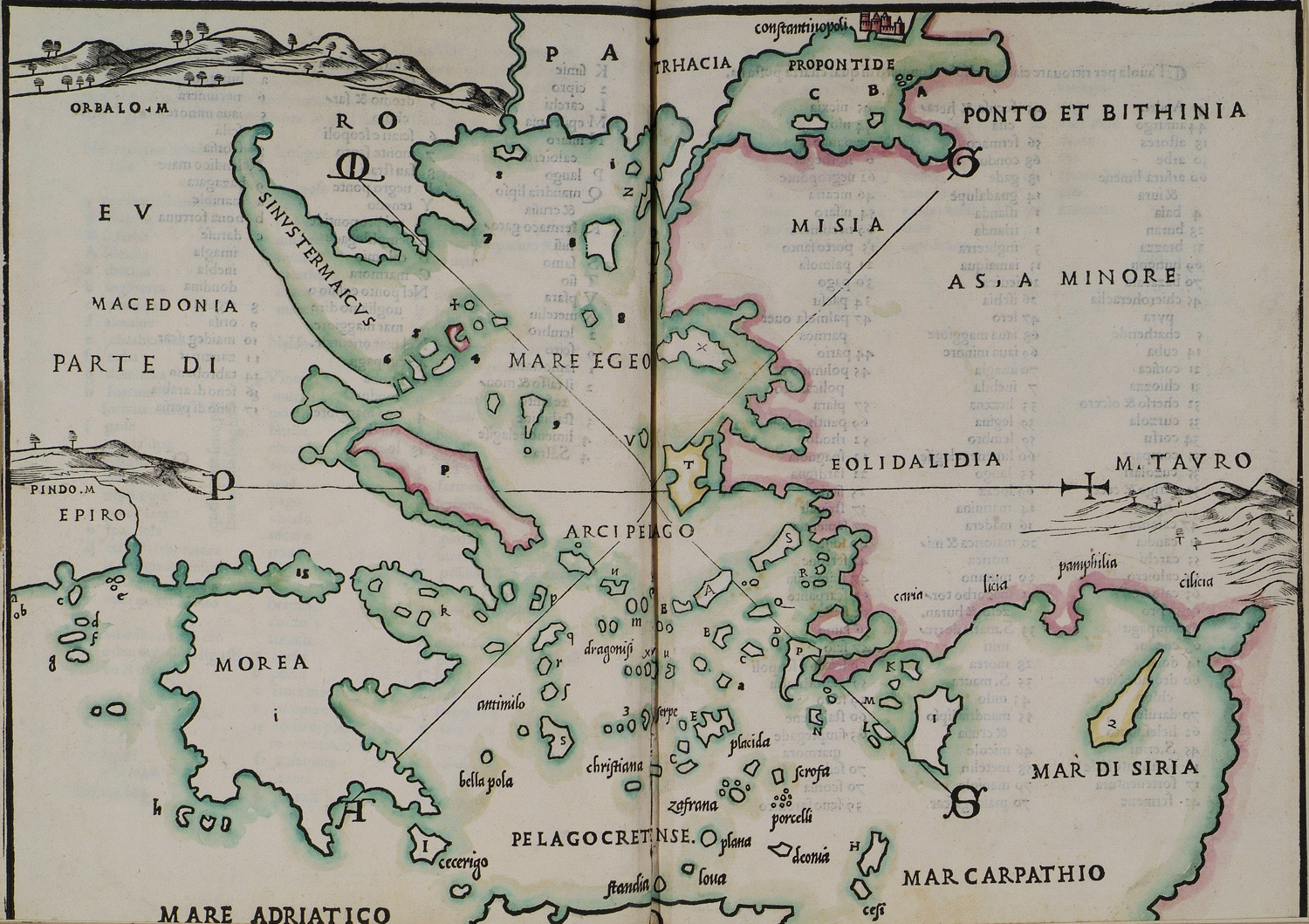
Map of Continental Greece, the Aegean Sea and Asia Minor.
Index to the map of Continental Greece, the Aegean Sea and Asia Minor.
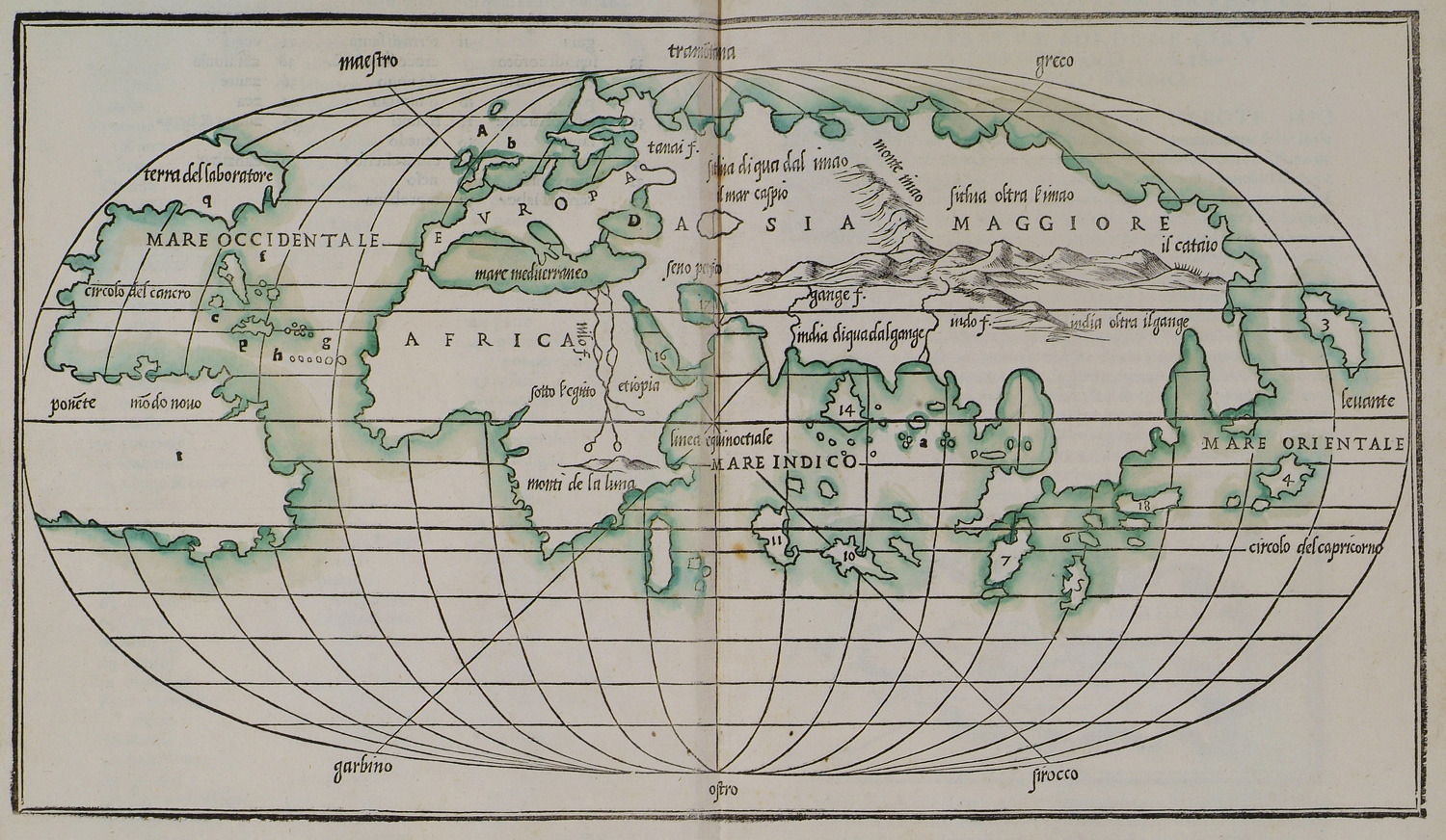
World map.
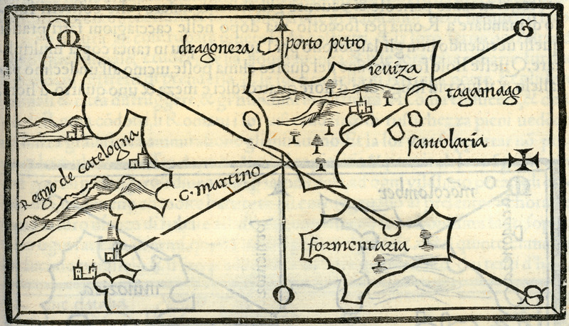
Map of Ibiza and Formentera.
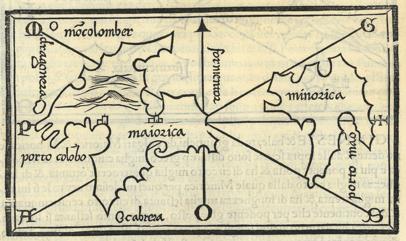
Map of Mallorca and Menorca.
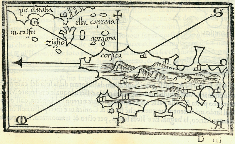
Map of Corsica.
Map of Pianosa.
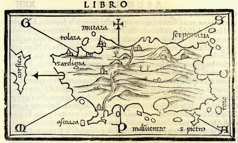
Map of Sardinia.
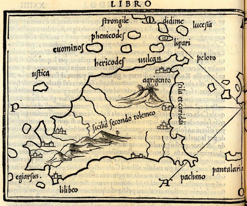
Map of Sicily according to Ptolemy.
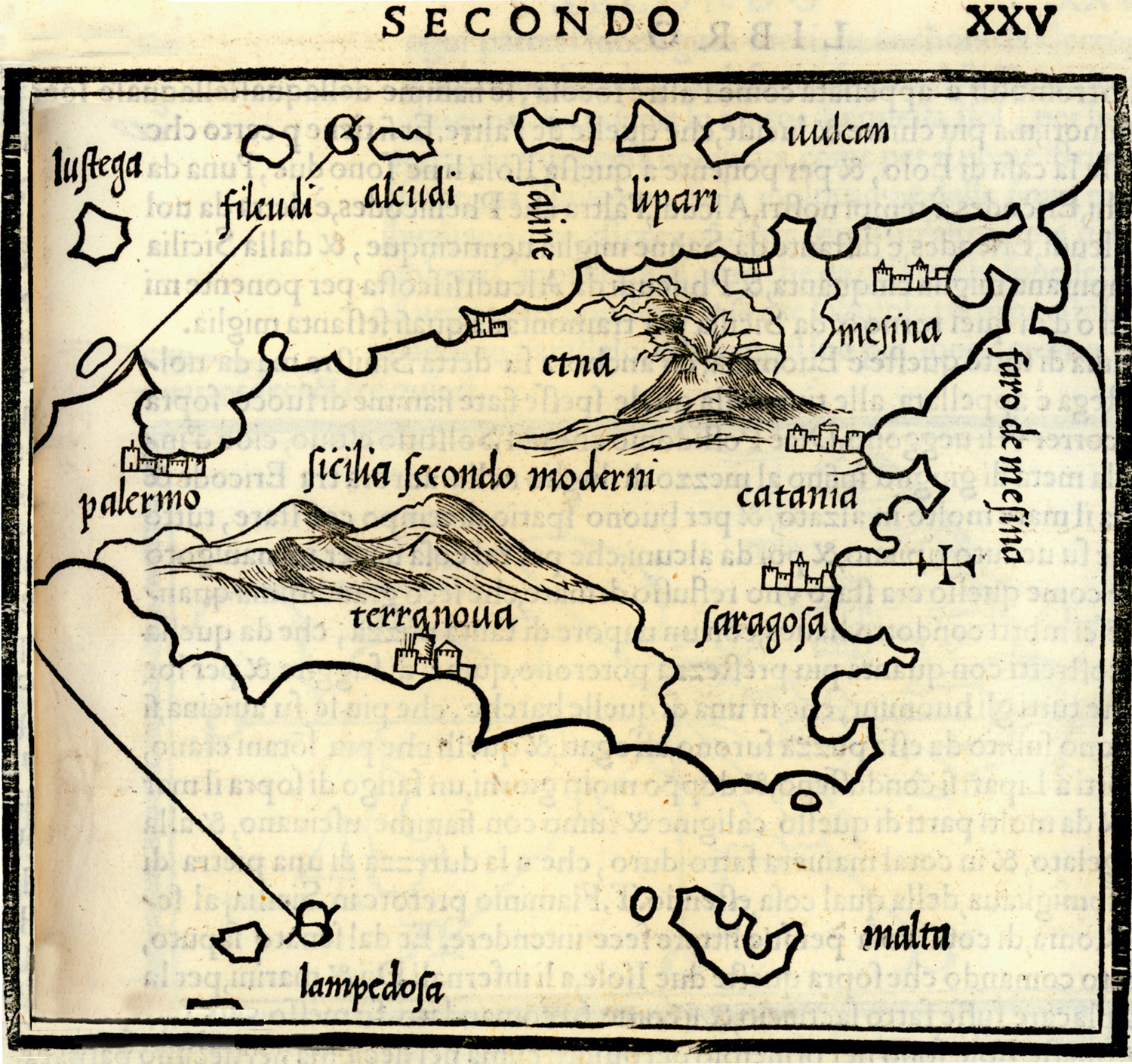
Map of Sicily according to contemporary geographers.
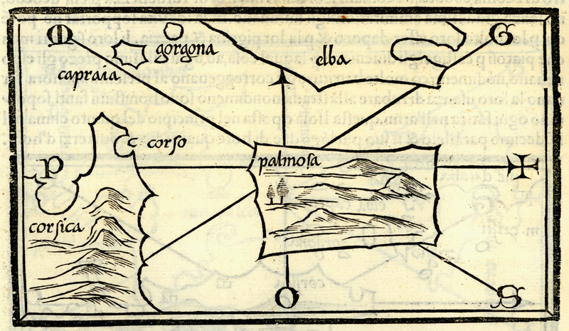
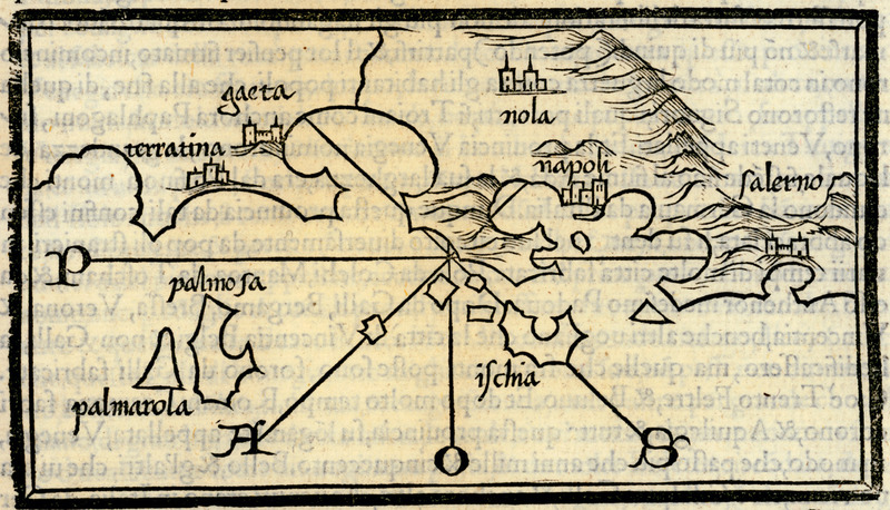
Map of the islands in the bay of Naples (Phlegraean islands) Palmosa island and Ponza island.
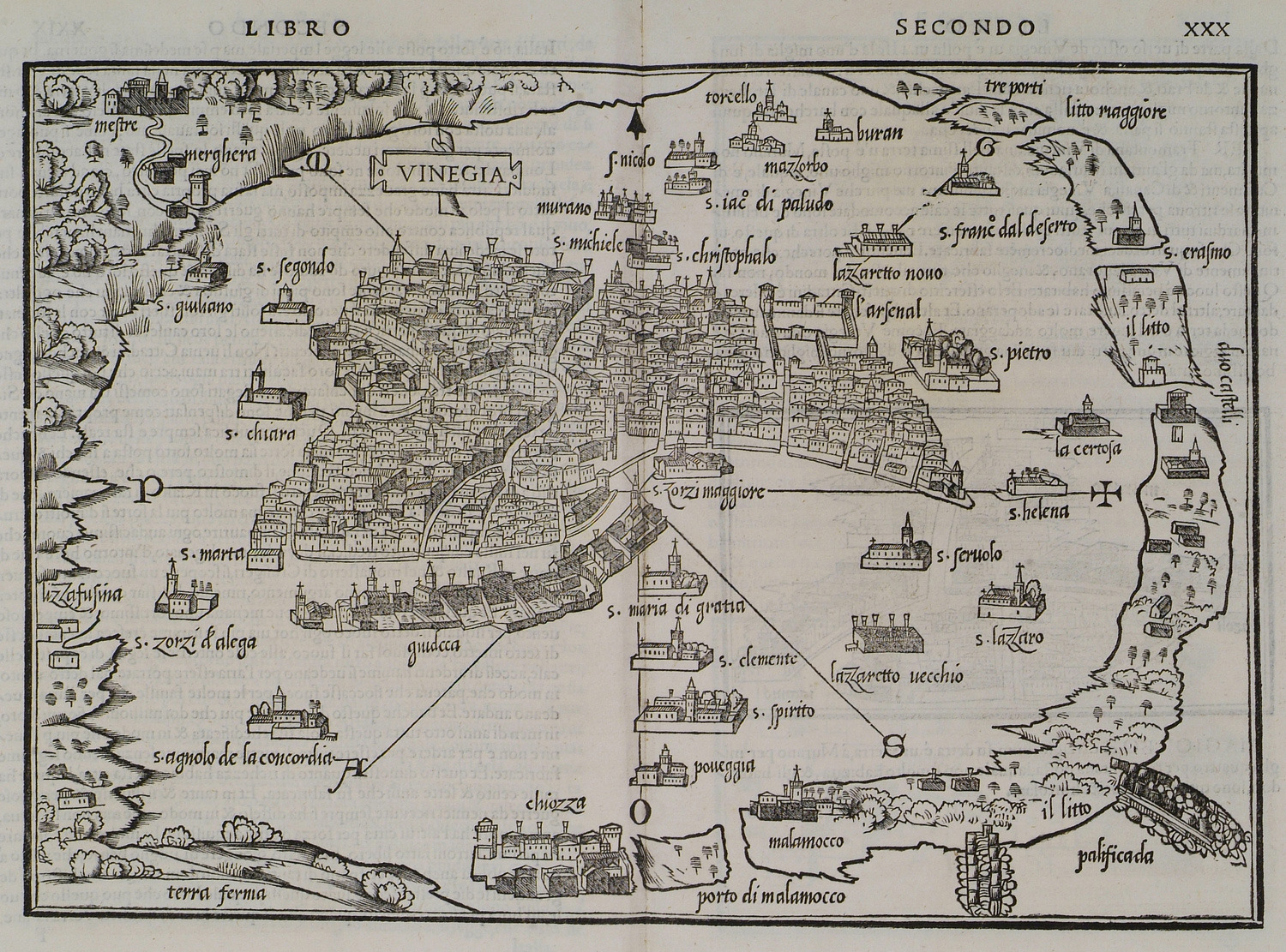
Map of Venice.
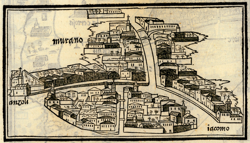
Map of Murano island.
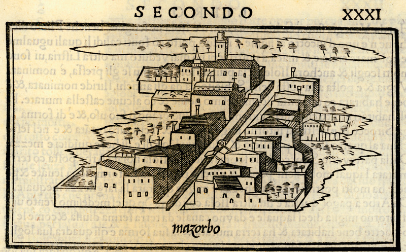
Map of Mazzorbo island.
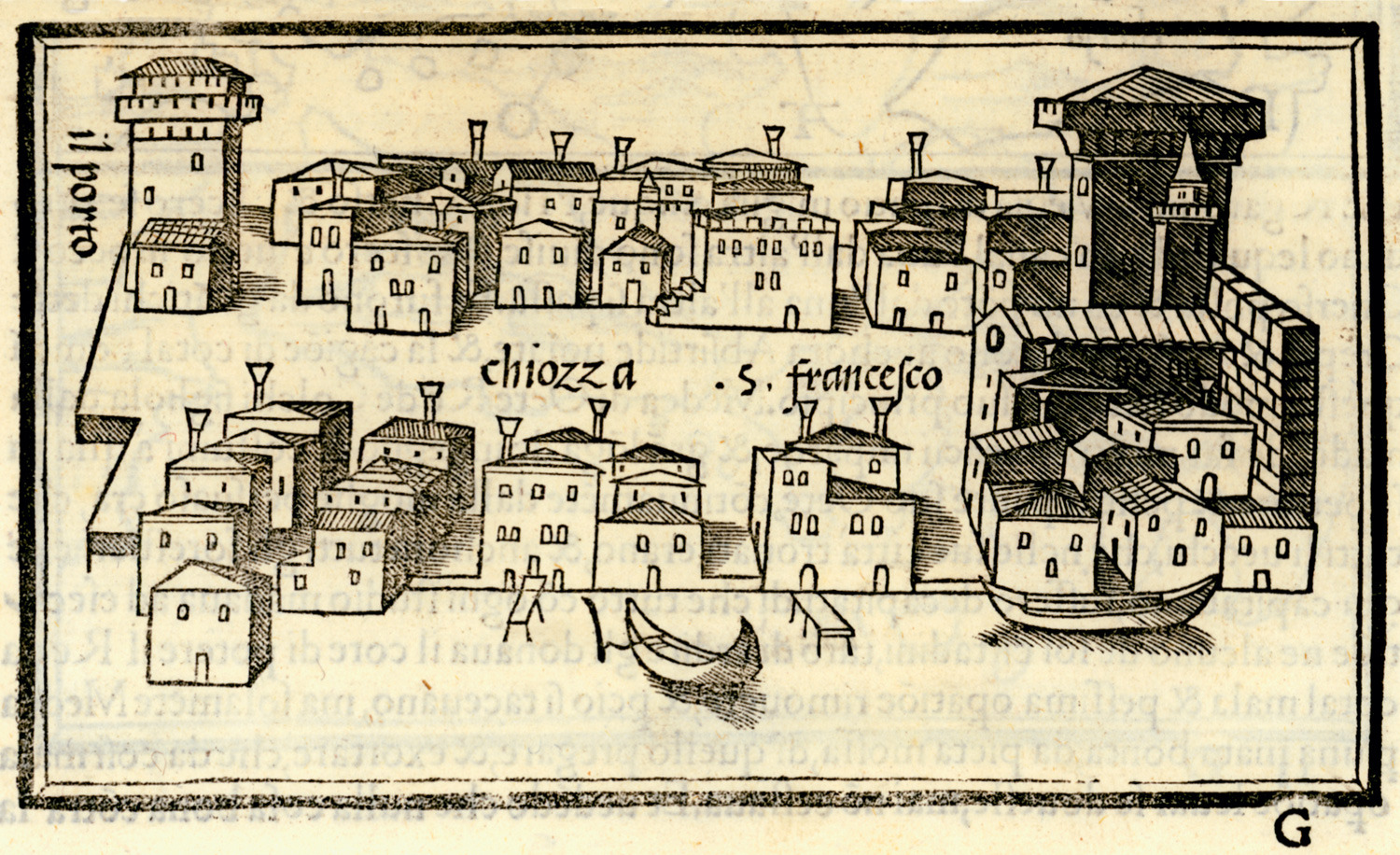
Map of Chioggia.
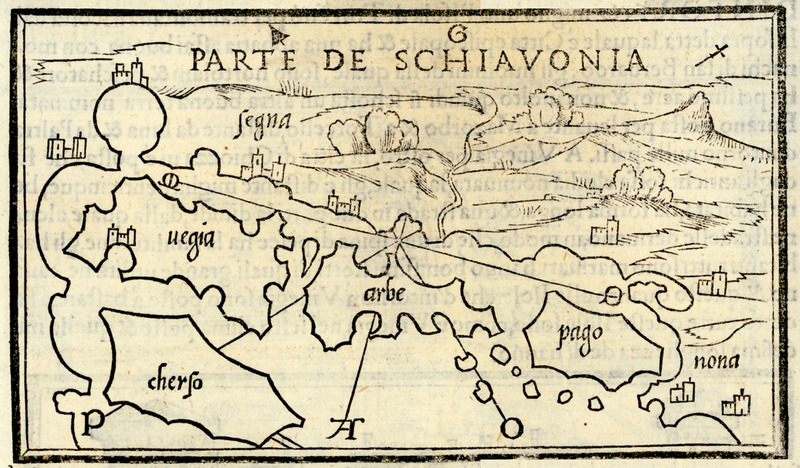
Map of Krk (Vegia), Kres (Cherso), Rab (Arbe) and Pag (Pago) islands, and of the Dalmatian coast, with the cities of Sen (Segna) and Nin (Nona).
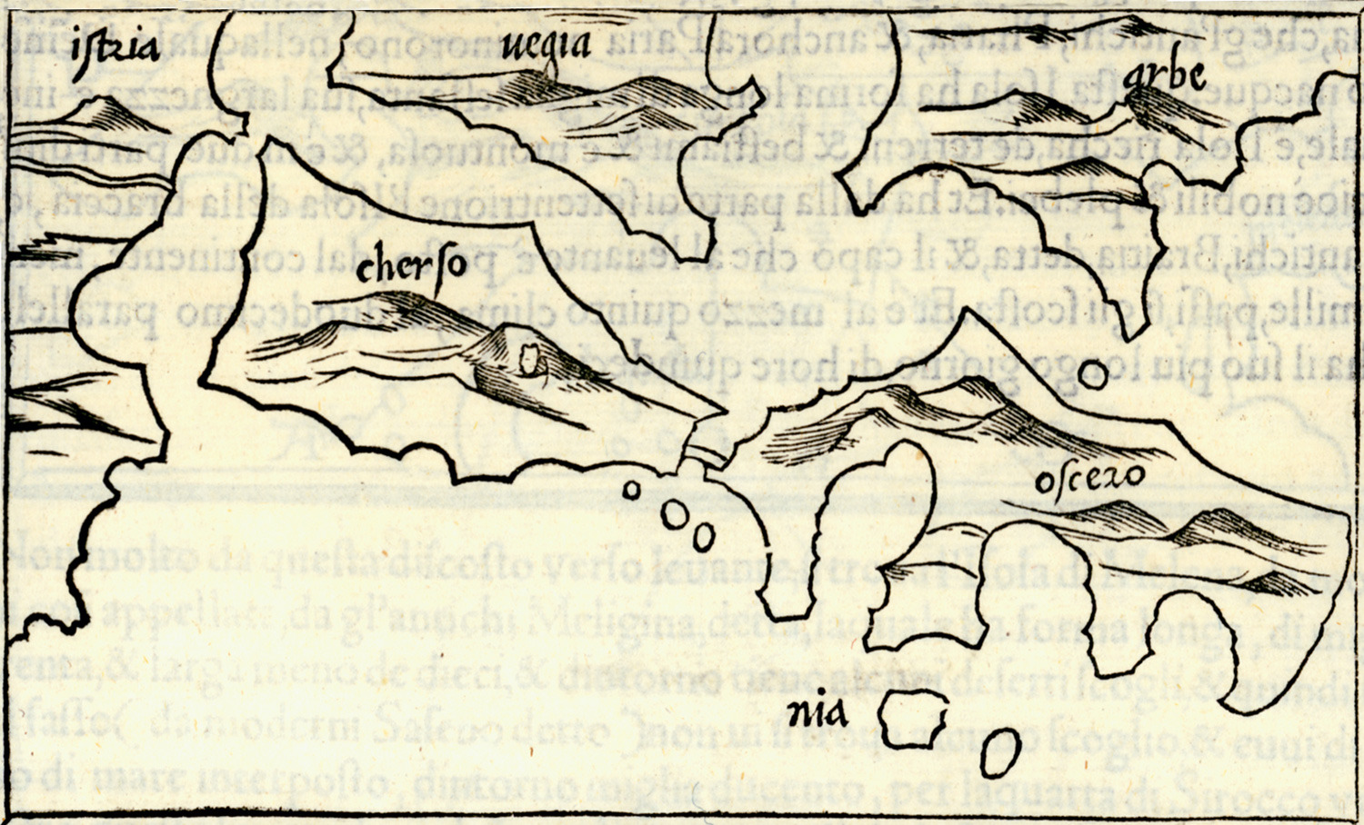
Map of Kres (Cherso) and Losinj (Ossero) islands, also charting Istria, and Krk (Vegia) and Rab (Arbe) islands.
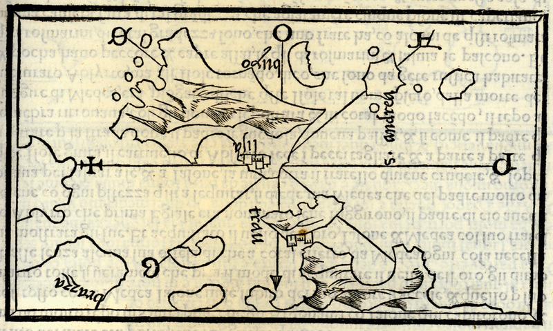
Map of Trau island (today historical centre of Trogir city), Čiovo (Bua) island, San Andrea (Svetac) island, and part of Brac (Braccia) island.
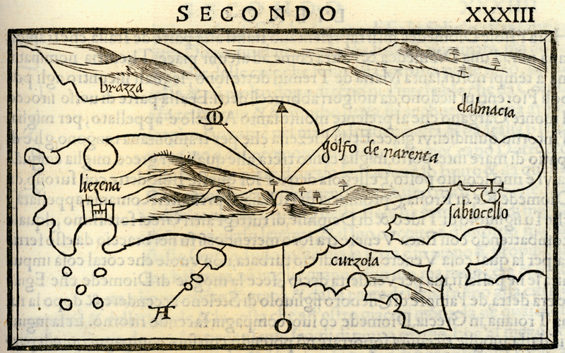
Map of Hvar (Liezena) and


